California County Map

HomeMapsCalifornia County Map
- Advertisement -

The California county maps provide a comprehensive overview of the state’s diverse geography and administrative divisions. The County and City map highlights the 58 counties and major cities such as Los Angeles, San Francisco and San Diego, making it an essential tool for navigation and planning.

California County Map
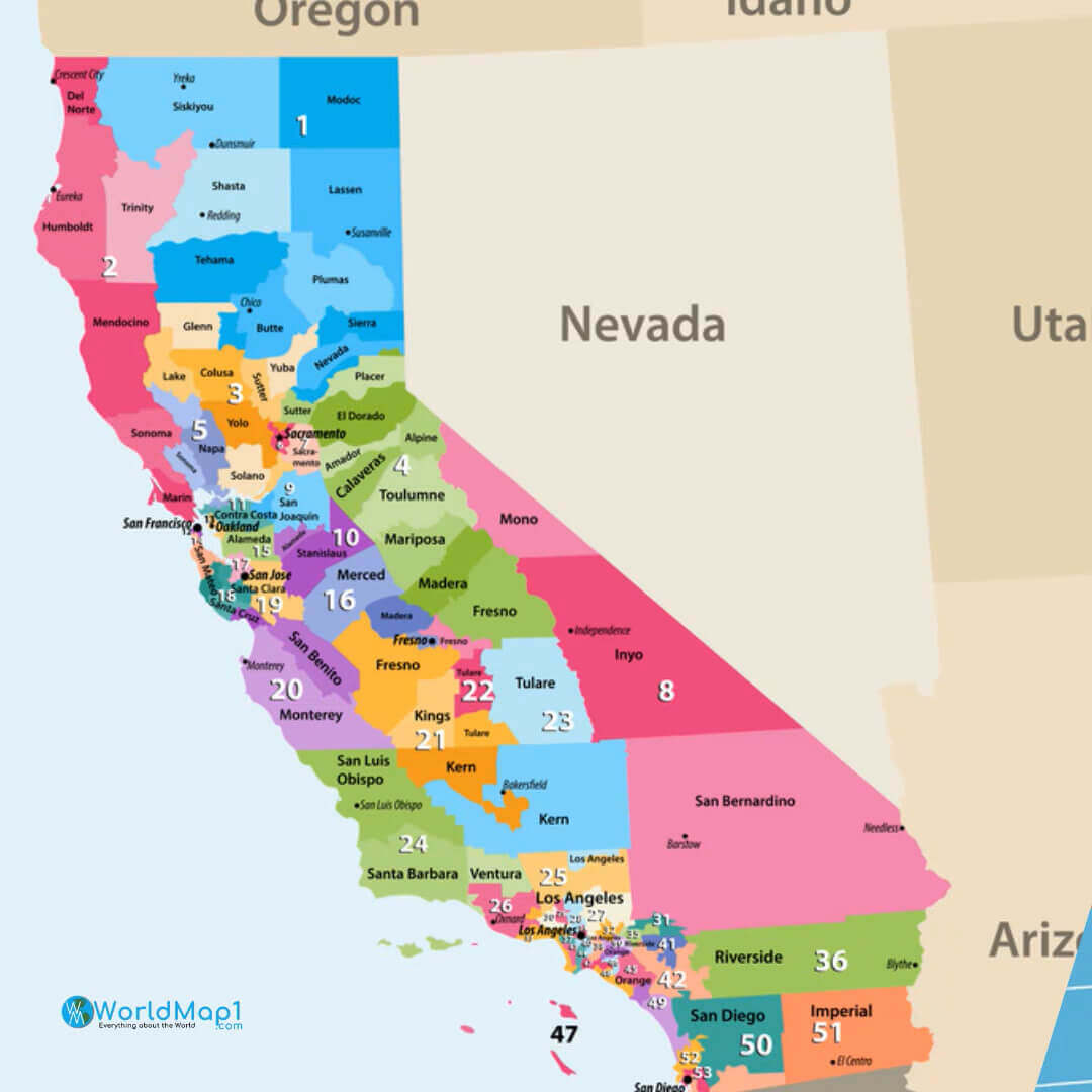
California County Map
Map of California counties with labels and borders.

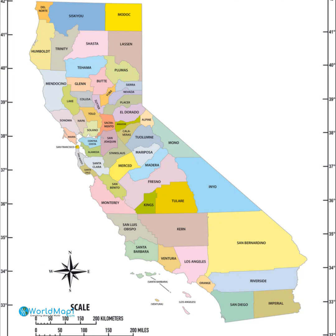
This colourful Map shows all 58 counties of California, clearly labelled and divided with distinct boundaries. It highlights the state’s administrative divisions and provides an easy reference for locating counties and understanding their geographic placement within California.

County Map of California

Detailed Map of California counties with names and boundaries
Detailed Map of California counties showing names and boundaries.

This Map provides a detailed view of California’s 58 counties, clearly labeled and color-coded. It highlights the County boundaries and their geographic placement within the state, offering a clear reference for administrative and regional distinctions.

California Map with Cities and Counties
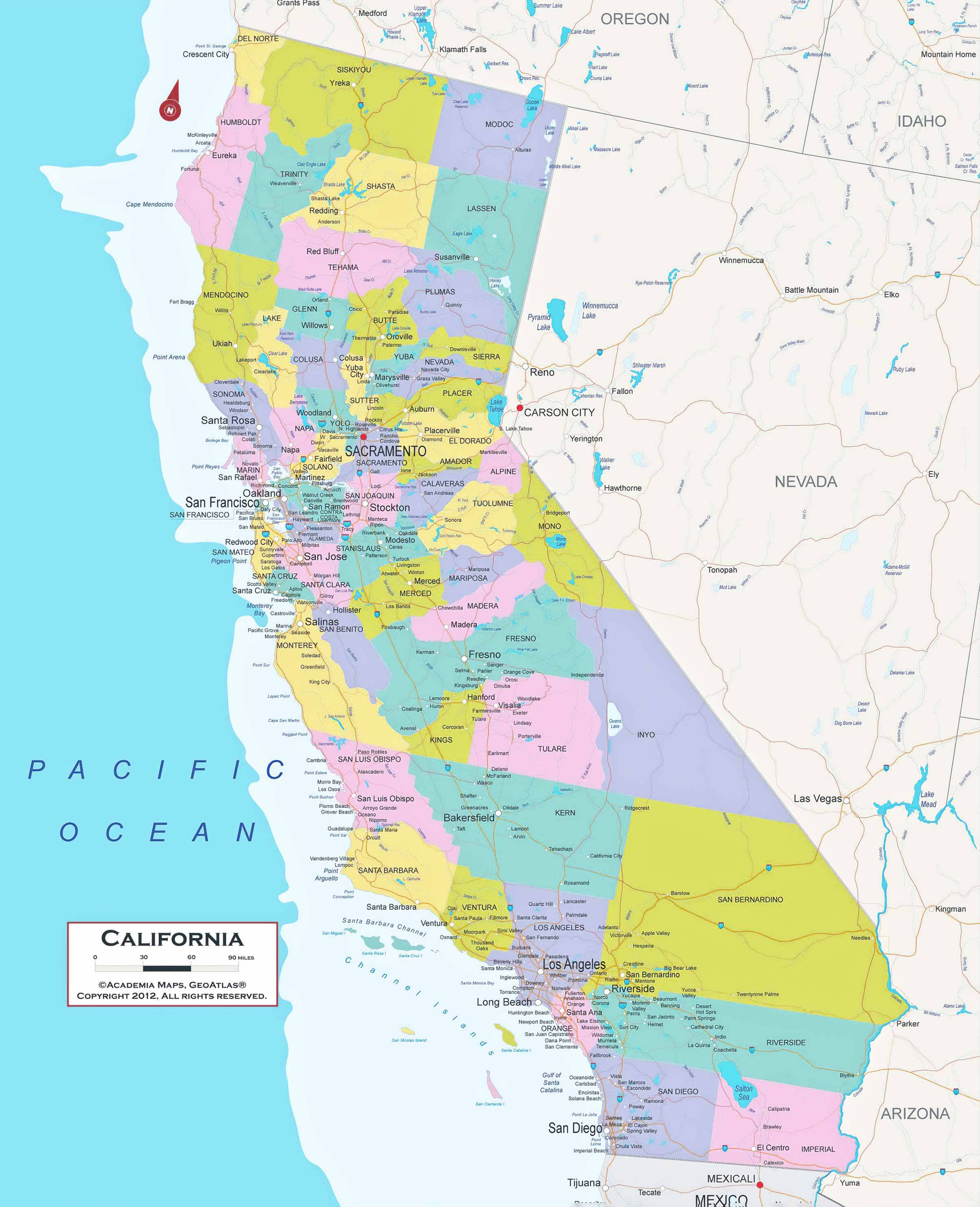
Detailed Map of California with cities, counties, and neighboring states
Detailed Map of California showing cities, counties, and neighboring states

This Map provides a detailed view of California, highlighting its counties and major cities such as Los Angeles, San Francisco and San Diego. It also shows California’s borders with Oregon, Nevada and Arizona, as well as the Pacific Ocean. A useful resource for understanding the geographical layout of California.

The County relief Map shows the state’s varied topography, including mountain ranges such as the Sierra Nevada and coastal regions. The physical and terrain Map delves deeper into natural features, showing rivers, valleys and deserts such as Death Valley and the Mojave Desert. The political and administrative Maps highlight boundaries, highways and governmental jurisdictions, making them essential for government and logistics.

California County Map with Cities

Map of California counties with major cities and boundaries.
Map of California counties show major cities and boundaries.

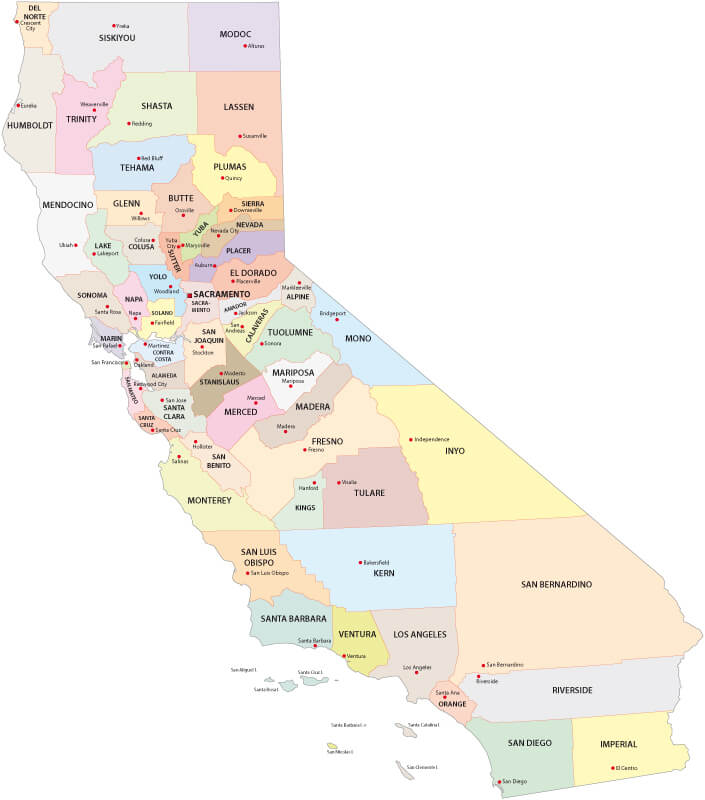
This Map highlights California’s 58 counties and the major cities within each county. It offers a clear and colourful representation of County boundaries and urban centres, providing a valuable reference for understanding the administrative and geographic layout of the state.

California Counties Physical Map

California Counties Physical Map
Physical Map of California showing topography, elevation, and geomorphic provinces.

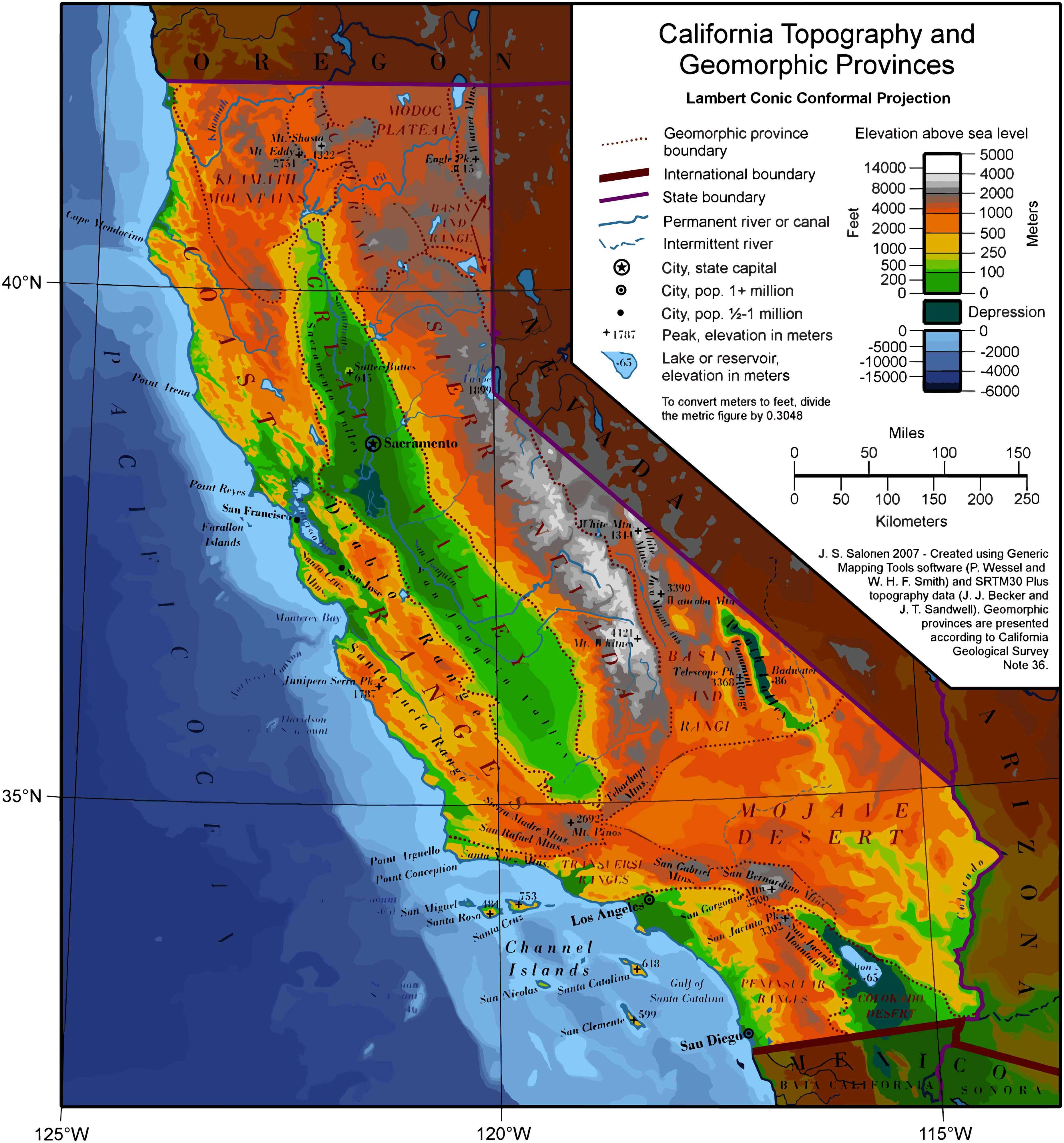
This physical Map highlights California’s diverse topography, including mountain ranges, valleys, deserts, and coastlines. It displays elevation levels, major cities, rivers, and geomorphic provinces, offering a detailed view of the state’s natural and geographical features.

California County Historical Map 1856
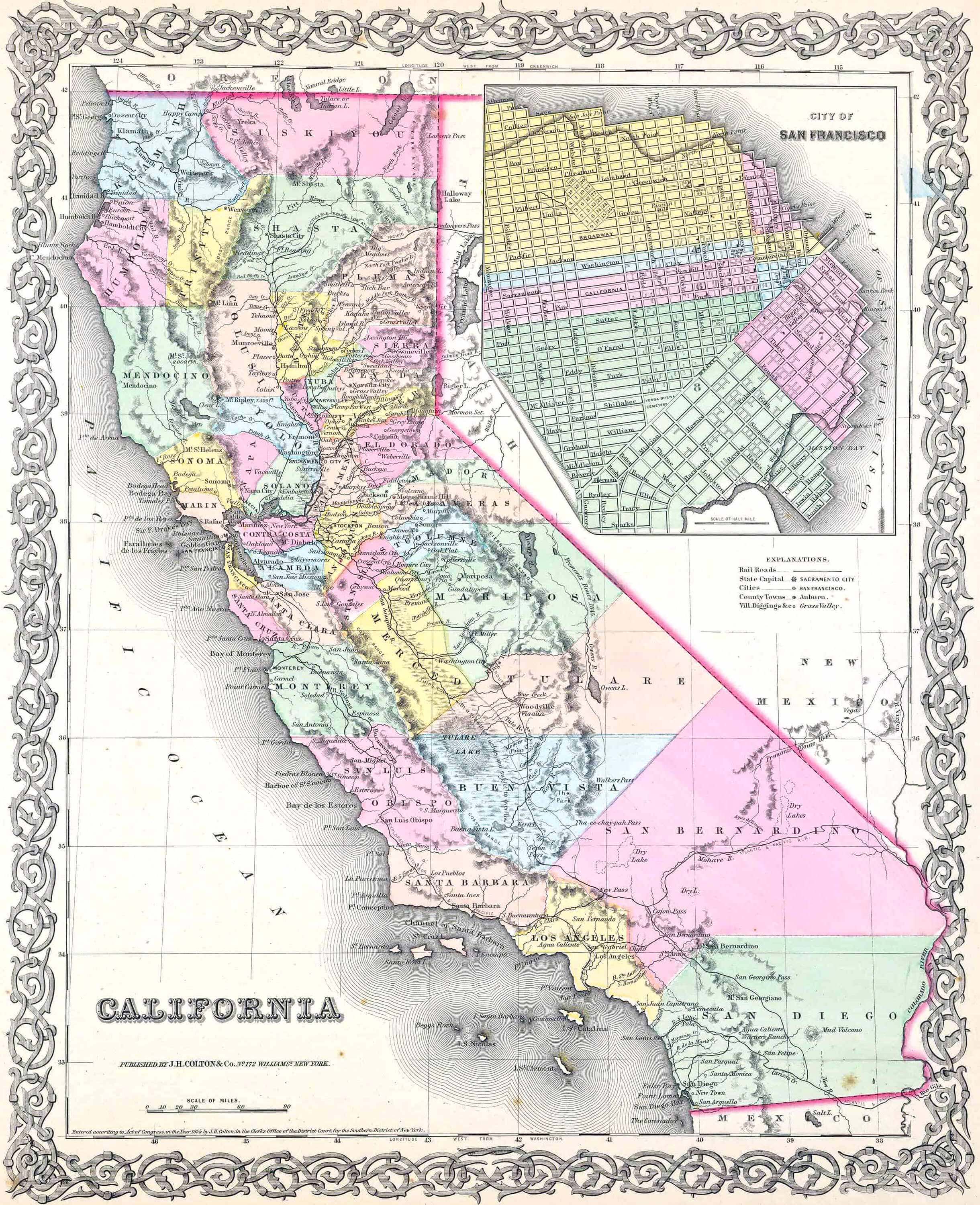
California County Historical Map 1856
A Historical County Map offers insight into California’s development over time, showing how its boundaries and counties have evolved. Meanwhile, the blank County Map is perfect for educational purposes, allowing users to explore and label regions. Together, these Maps provide a dynamic perspective on California’s physical, cultural and political landscapes.

California satellite Map with mexico border
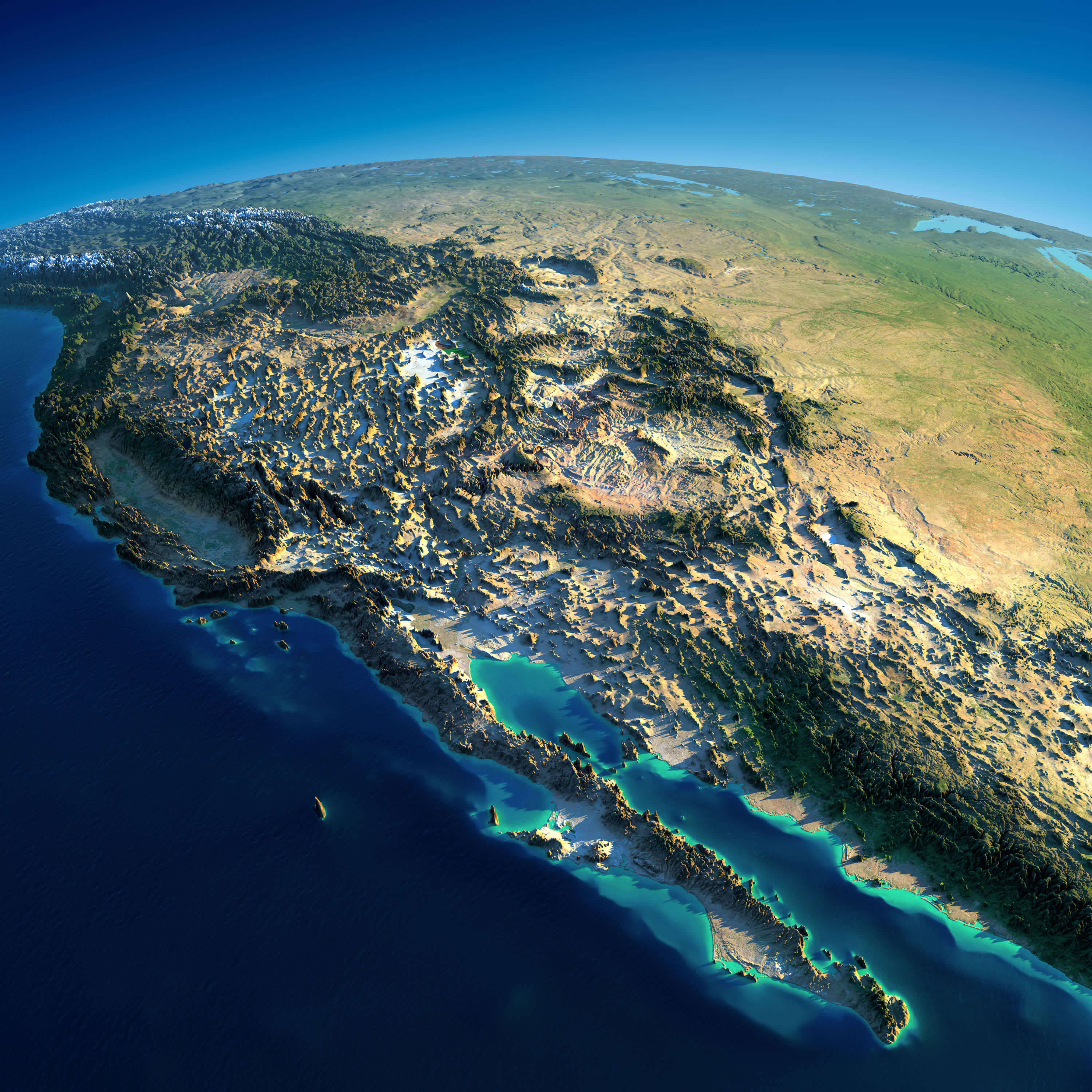
California satellite Map with mexico border

Historical California County maps
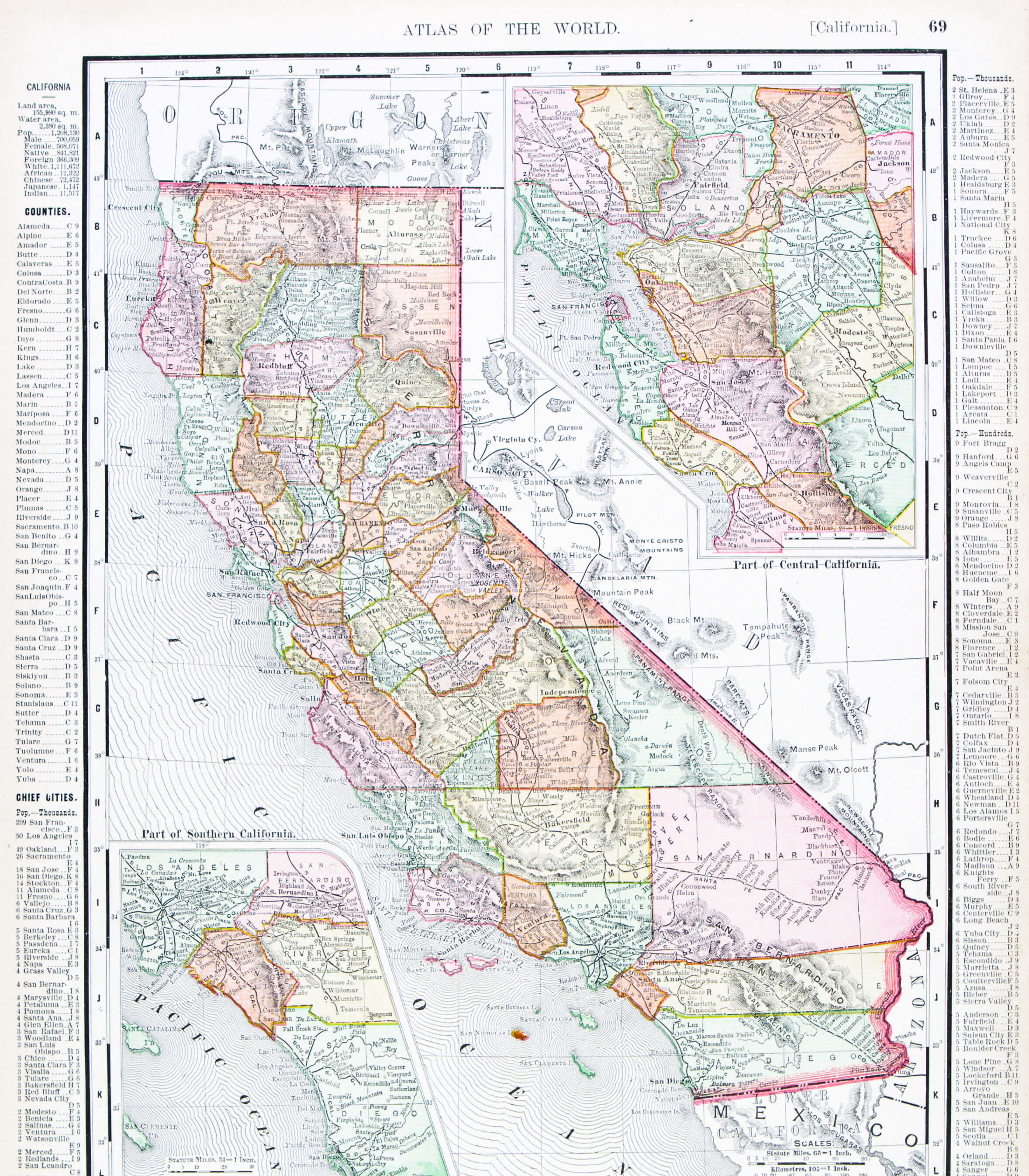
Historical California County maps

California County Map with roads
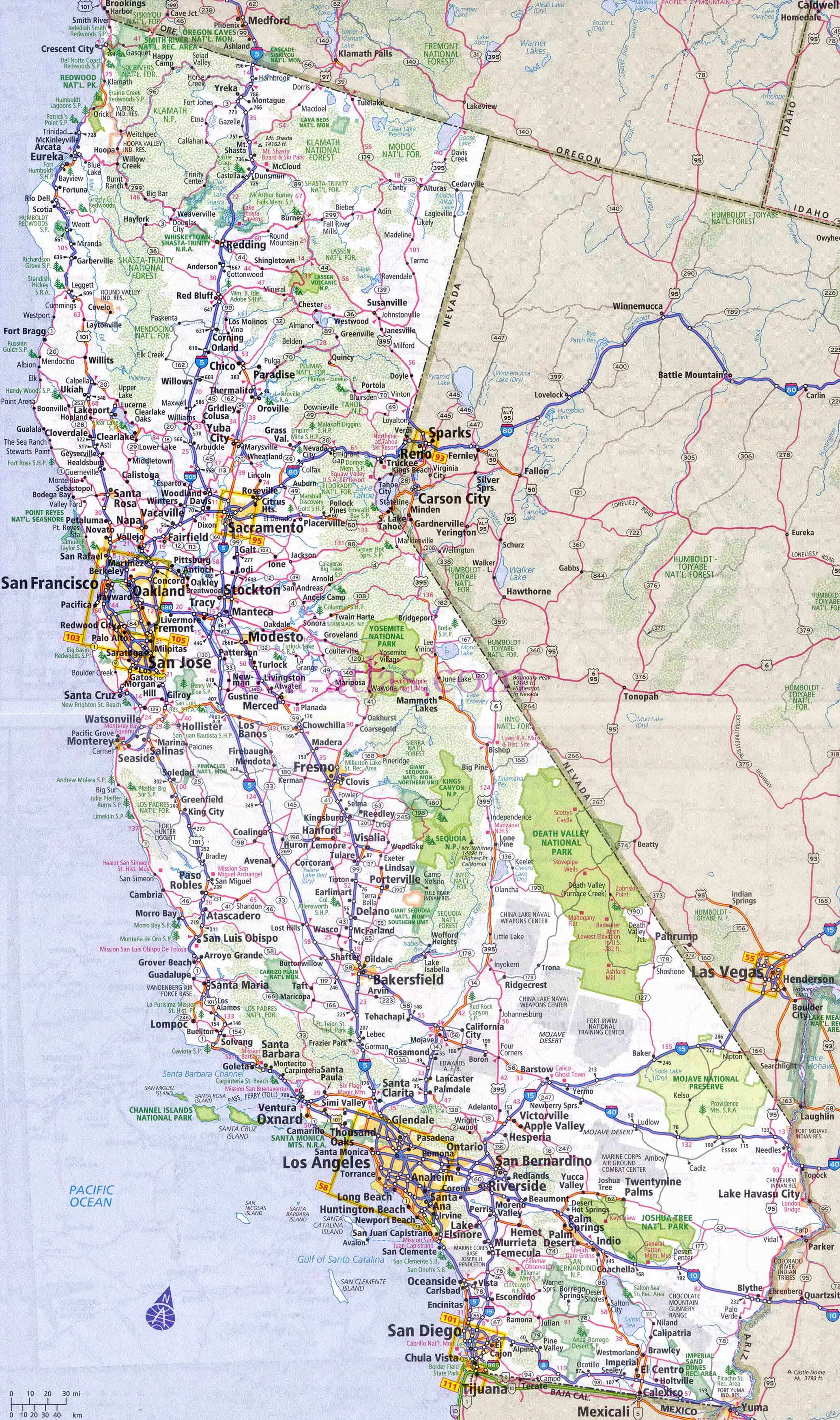
California County Map with roads

Map of California Cities and Counties
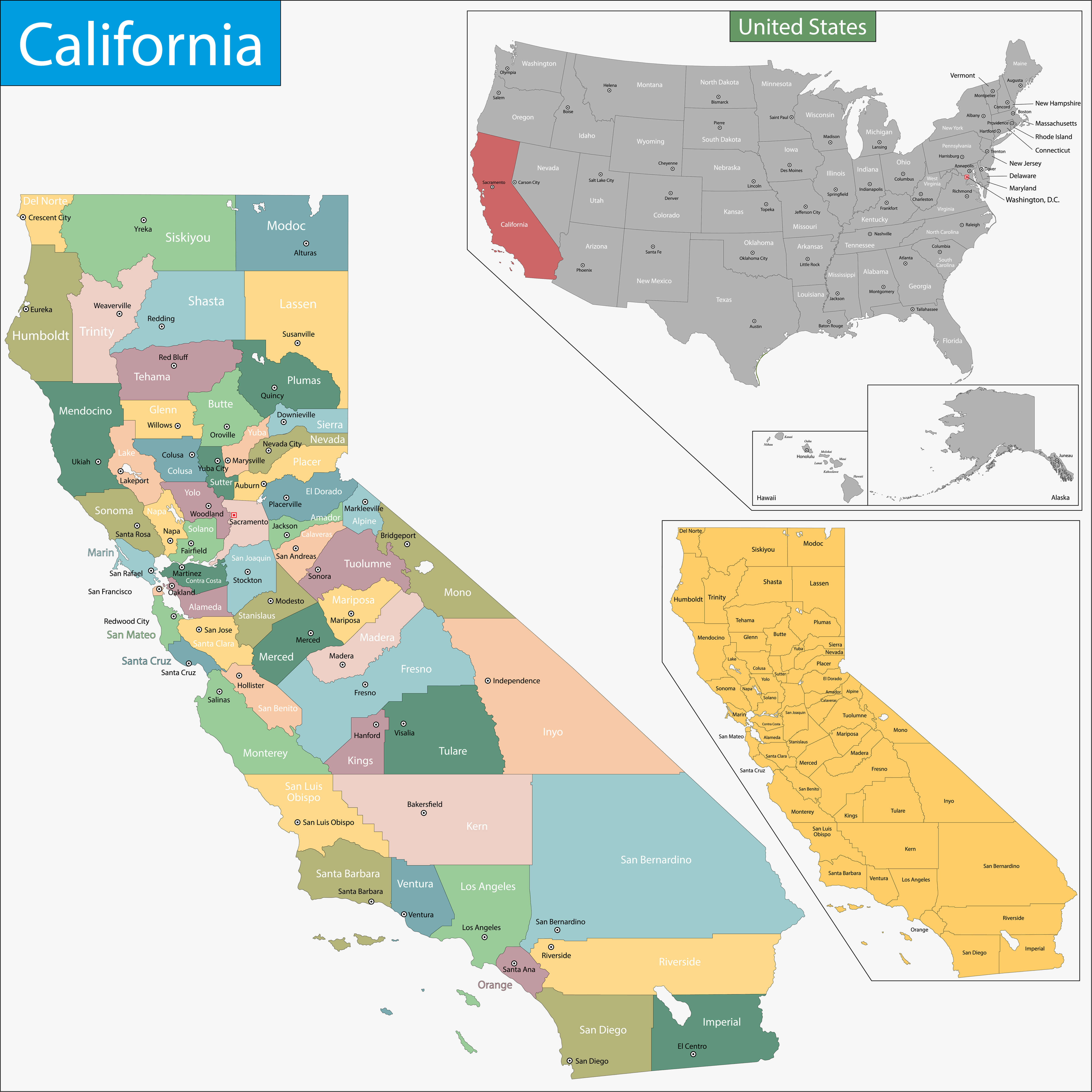
Detailed Map of California counties and cities with location within the US.

This Map highlights California’s counties and cities, showing their boundaries and names. Insets show California’s position within the United States and a simplified County map. It is a useful tool for understanding California’s administrative divisions and geographic context.

California Map by County and cities

California Map by County and cities
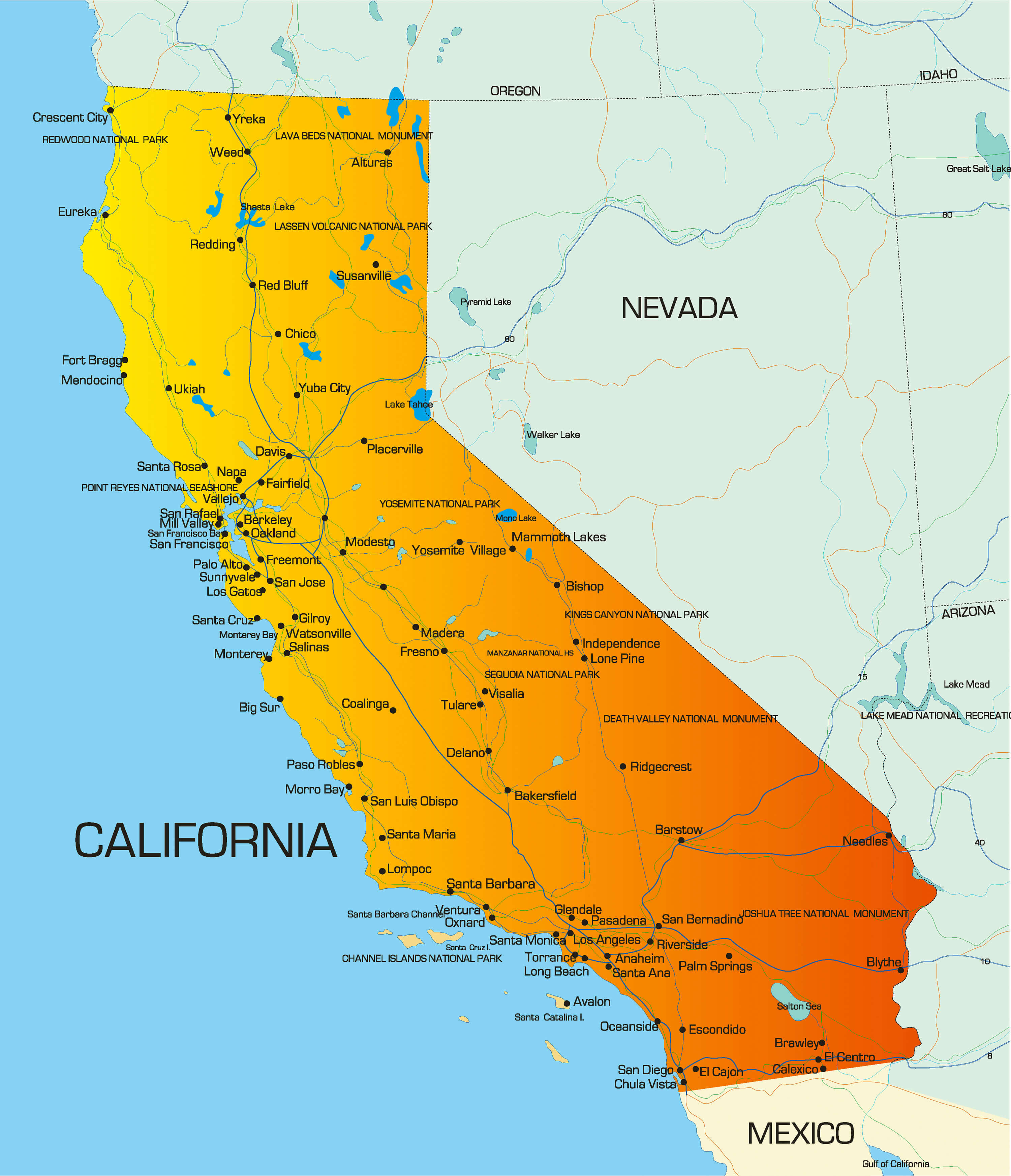
California counties geology map
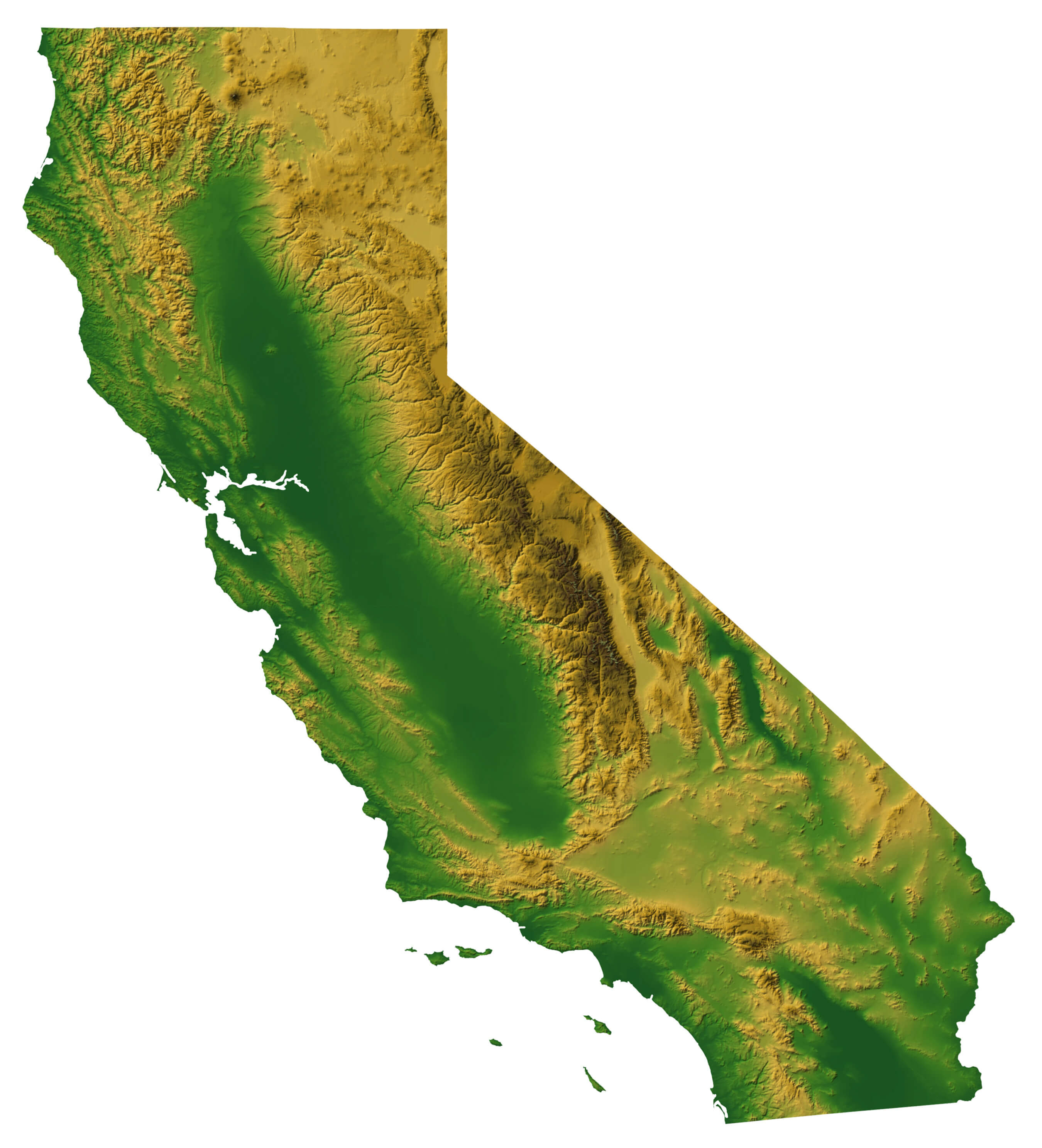
California counties geology map

California counties map
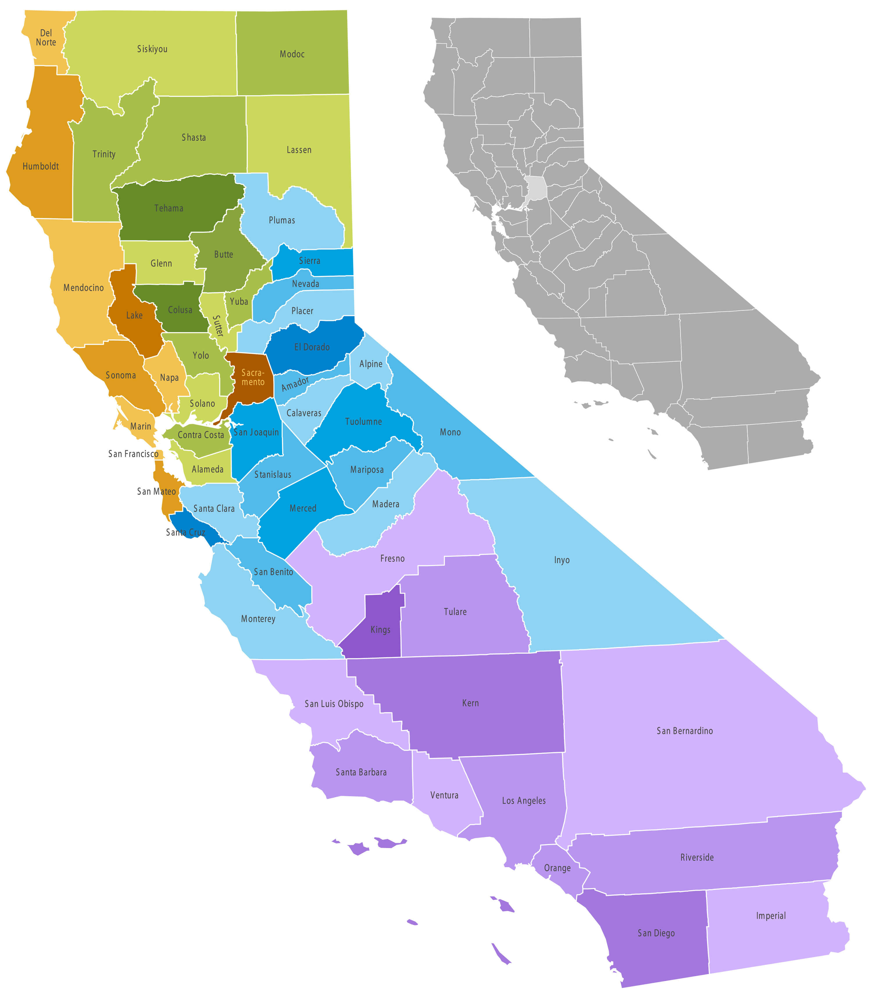
California counties map

California Map by county
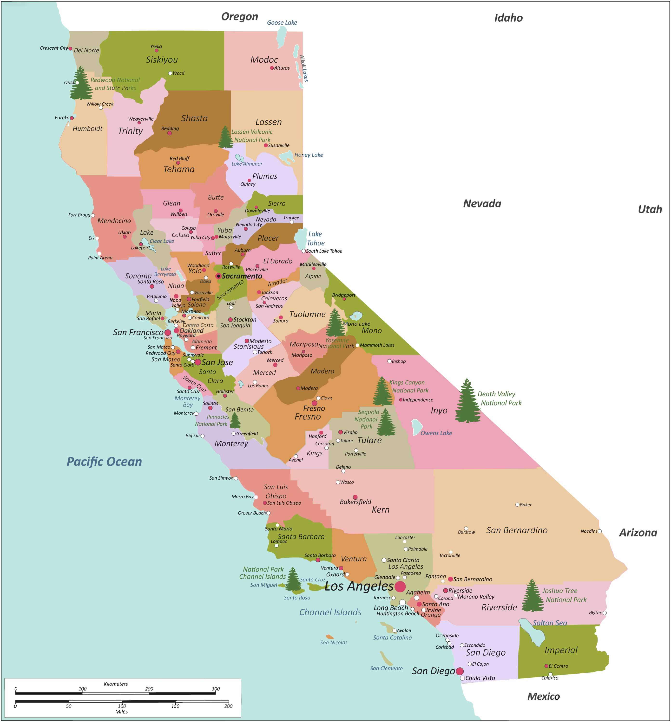
California Map by county

County Map of California and regions
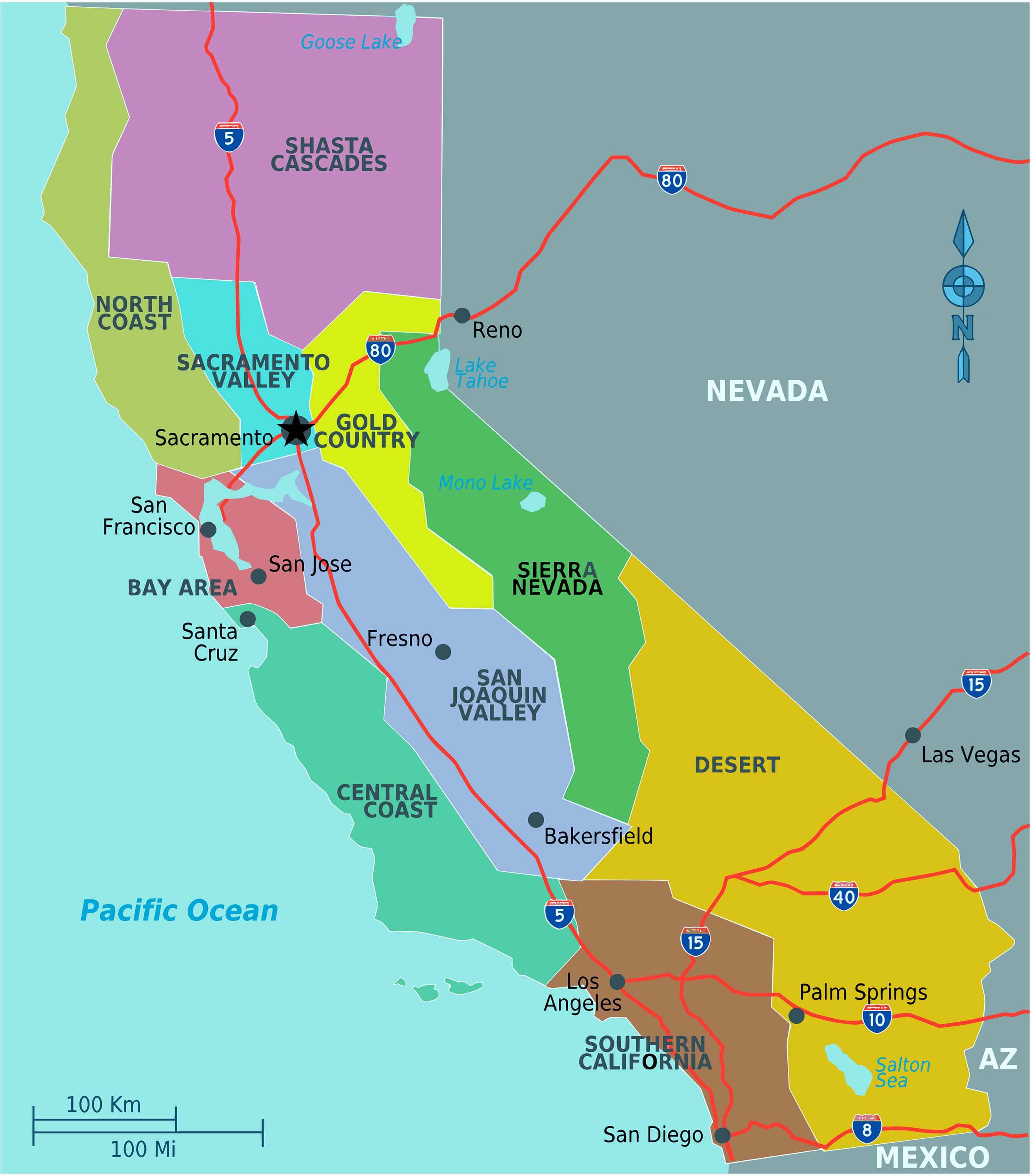
County Map of California and regions

California Map counties and relief map
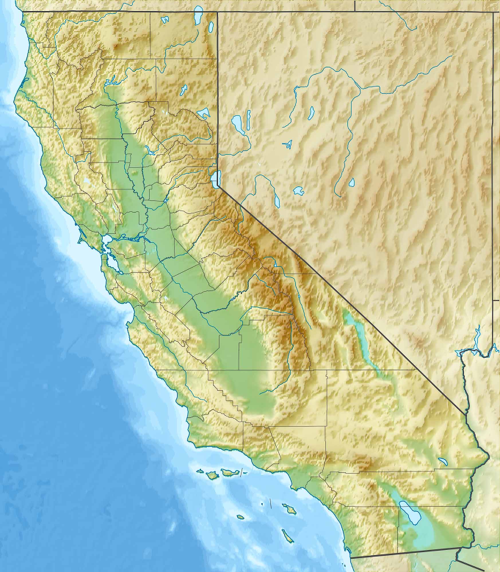
California Map counties and relief map

California Counties Climate Map
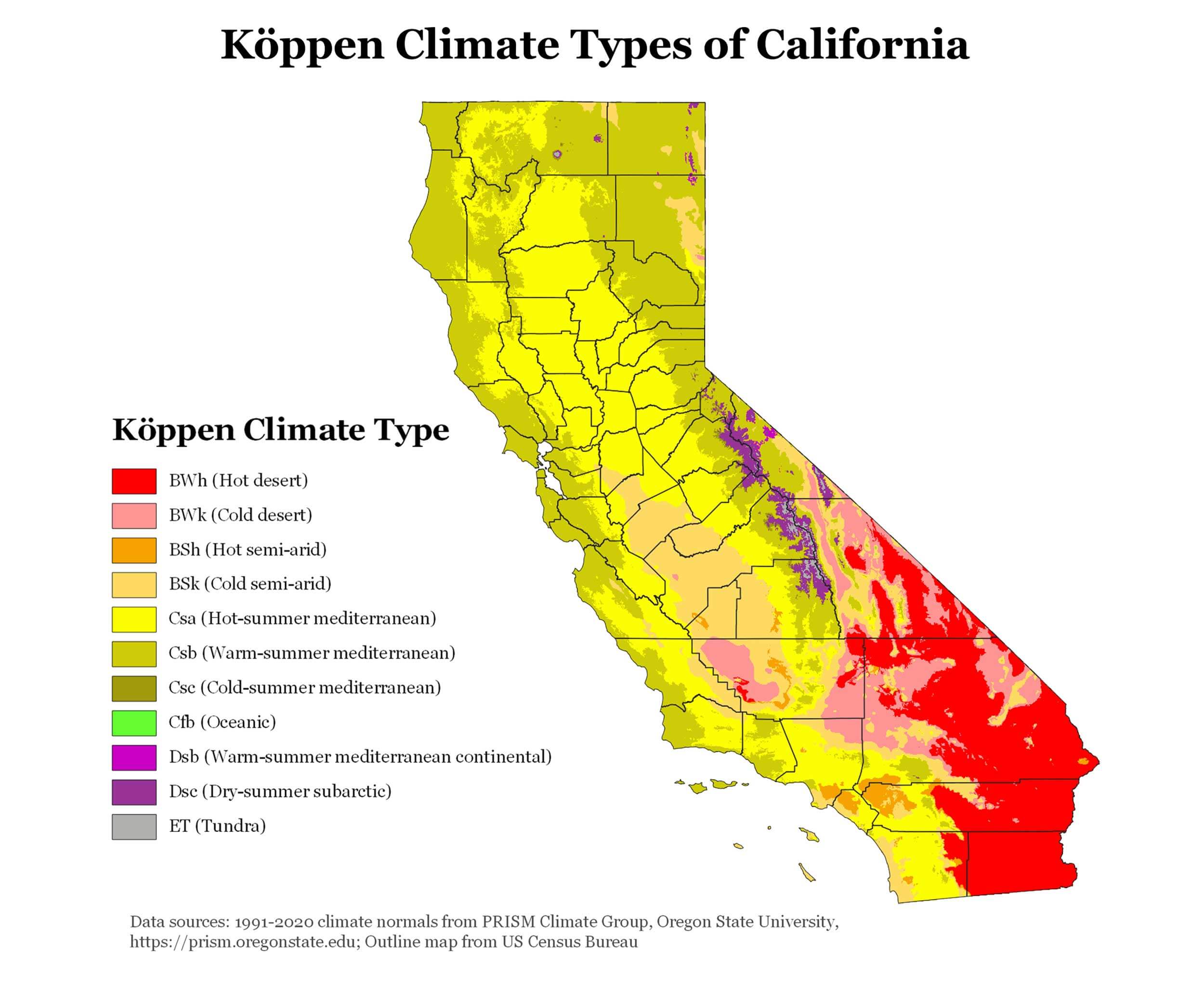
California Counties Climate Map
Map of California counties showing Köppen climate classifications

This Map highlights the diverse climates of California counties using the Köppen classification system. It showcases regions with hot deserts, semi-arid zones, Mediterranean climates, and alpine areas, providing insight into the state’s varying weather patterns and geography.

California counties Map with cities

California counties Map with cities

blank California County election map
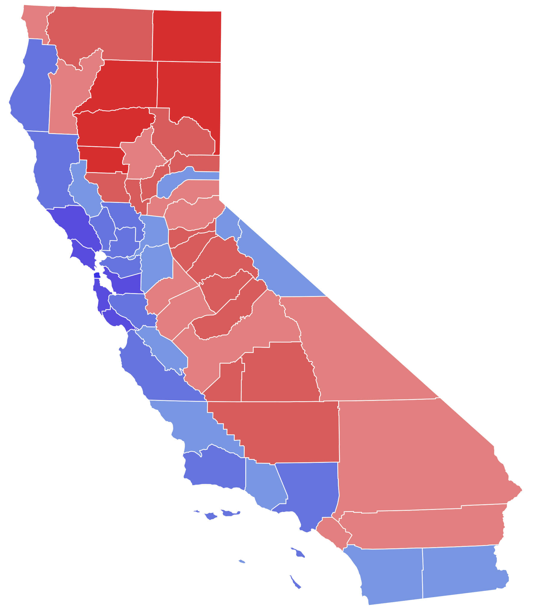
blank California County election map

Map of California counties
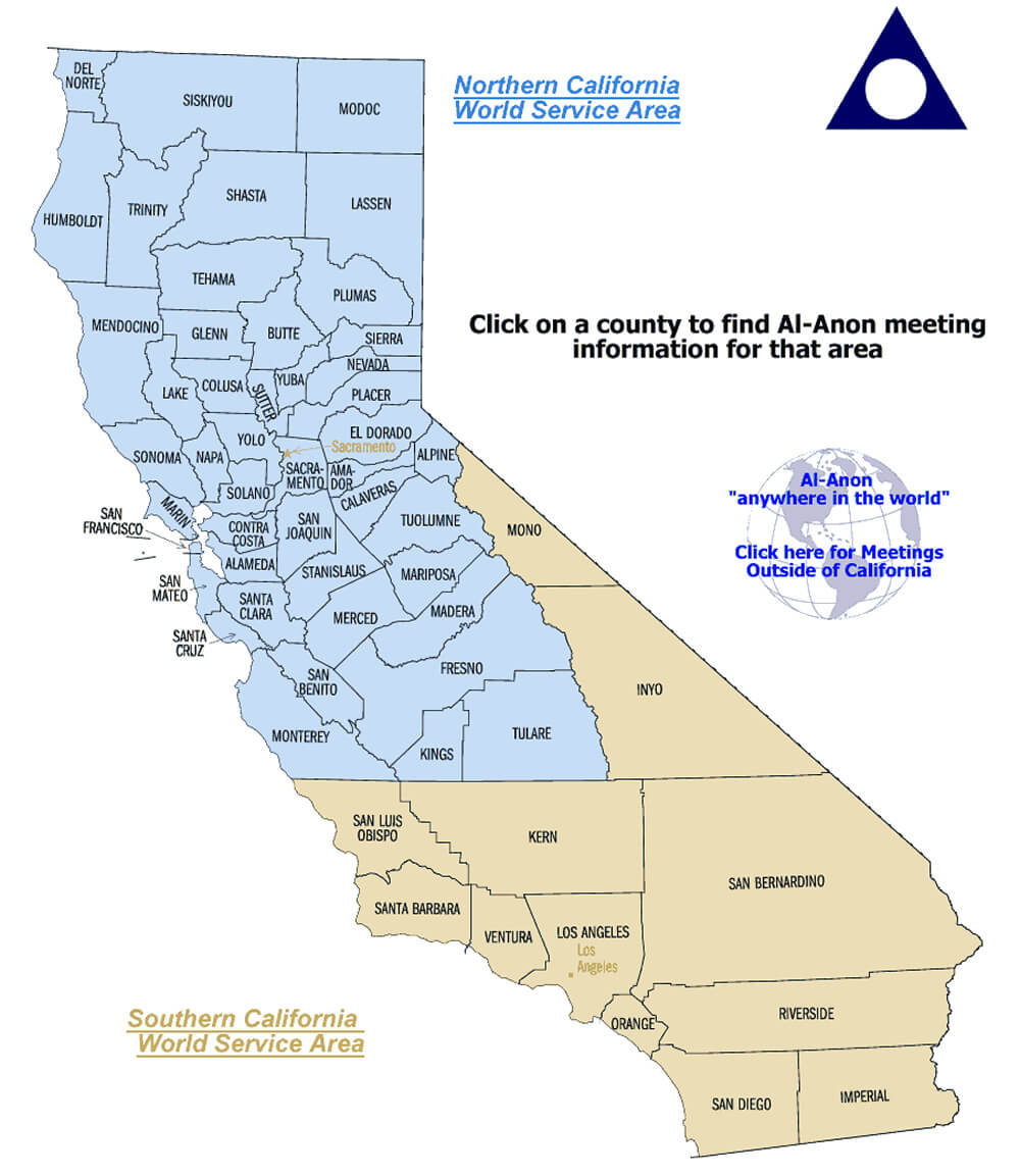
Map of California counties

State of California County map
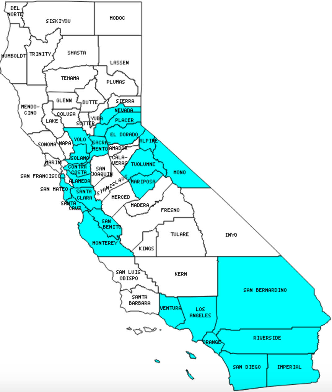
State of California County map

California Map with counties and cities
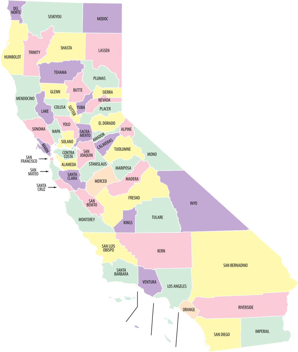
California Map with counties and cities

California County lines with cities
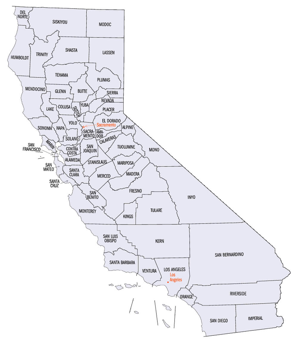
California County lines with cities

California County Map blank
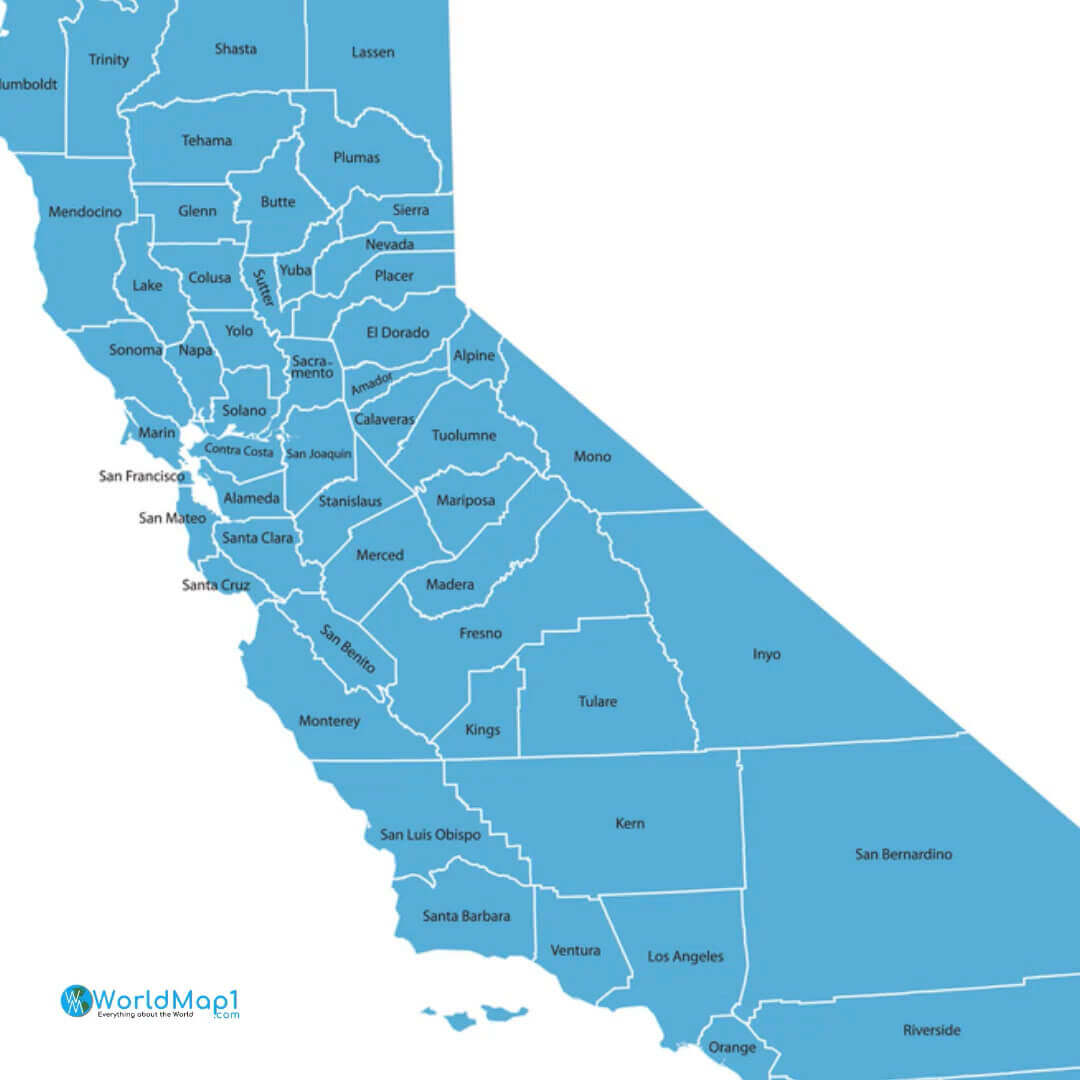
California County Map blank

Maps of California counties
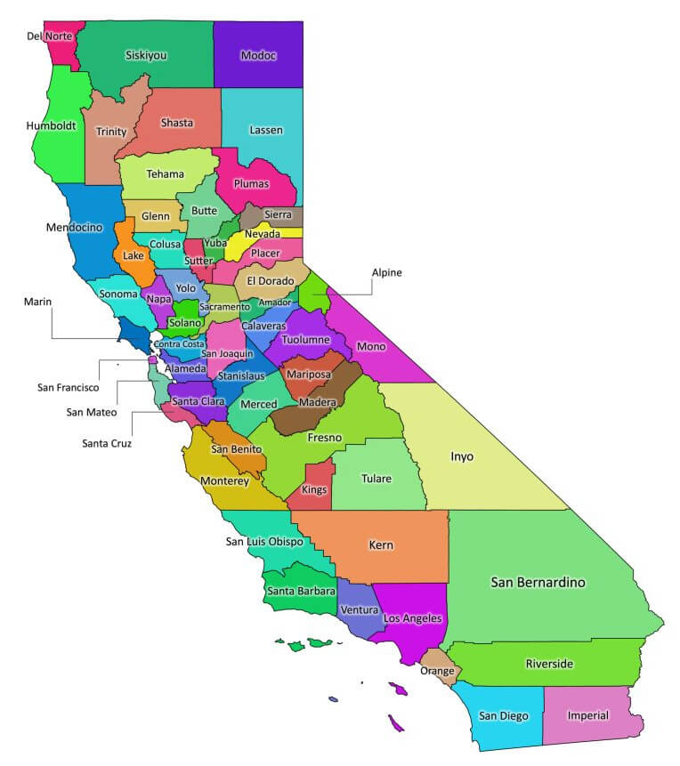
Maps of California counties

County Maps of California
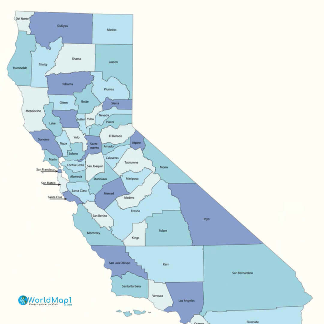
County Maps of California

County Map of California blank
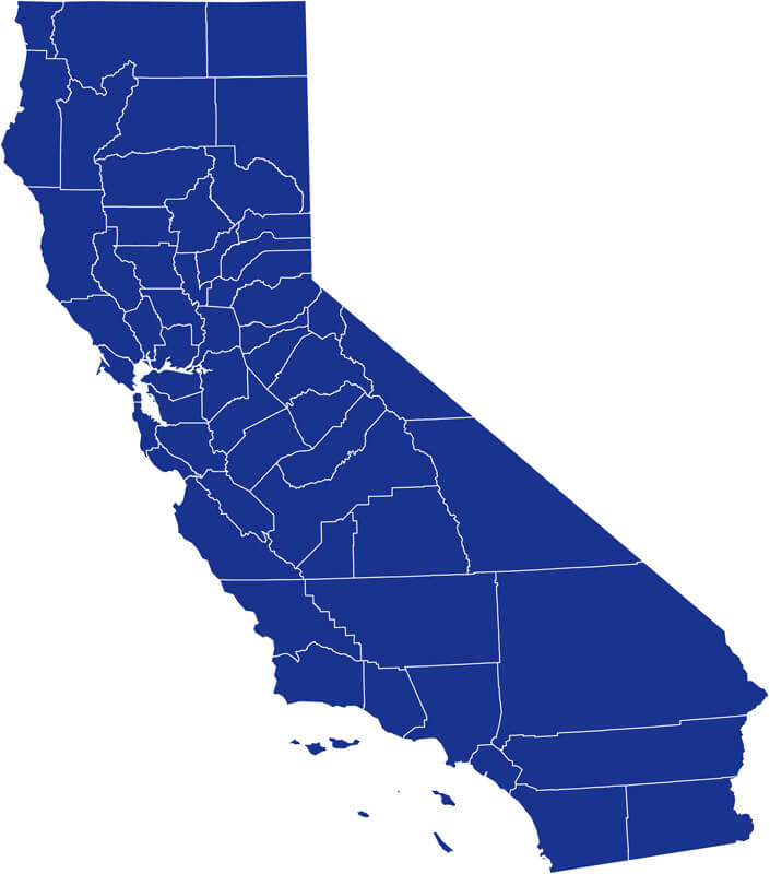
County Map of California blank

California Map of counties
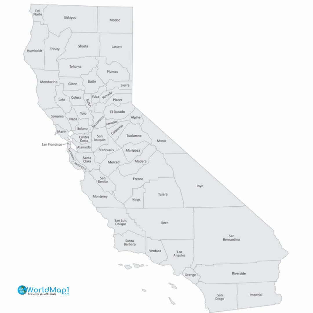
California Map of counties

California Map with counties
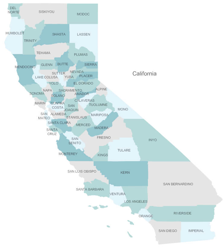
California Map with counties

Where is California on the United States Map?

Show Google map, satellite map, where is the country located.

Get directions by driving, walking, bicycling, public transportation and travel with street view.

Where is California in the US and and Cities Map of California – @WorldGuide Youtube

Feel free to explore these pages as well:

- Advertisement -

Discover

Sponsor

Latest Posts

The Essence of Elegance: A Journey through Bordeaux

Welcome, fellow travelers, to the splendid city of Bordeaux, an emblem of French finesse nestled in the southwest of France. With its resplendent vineyards,...

Belgium’s Largest and Top 10 Must-Visit Cities

Belgium, nestled comfortably between France, Germany, the Netherlands, and Luxembourg, is a country rich in history, brimming with a tapestry of cultures, and vibrant...

Gagra Map

Where is Gagra, Gagra Map, city map of Gagra, Gagra map of Abkhazia, Gagra satellite map, location, itinerary, atlas, geographic, city of Abkhazia and...

Argentina Map

A collection of Argentina Maps; View a variety of Argentina physical, political, administrative, relief map, Argentina satellite image, higly detalied maps, blank map, Argentina...

Abkhazia Map

Where is Abkhazia, geography of Abkhazia, enlargeable topographic map of Abkhazia, including political maps, physical map, cities map, satellite images of Abkhazia, location, itinerary,...