- Advertisement -
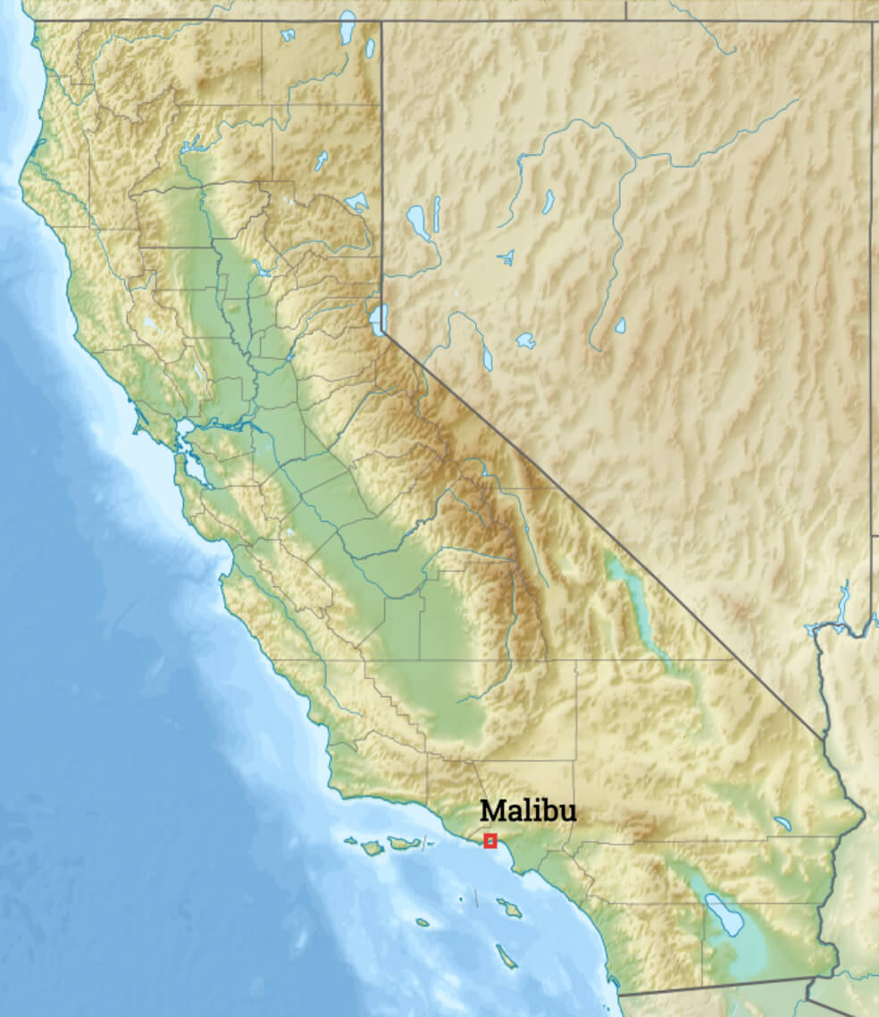
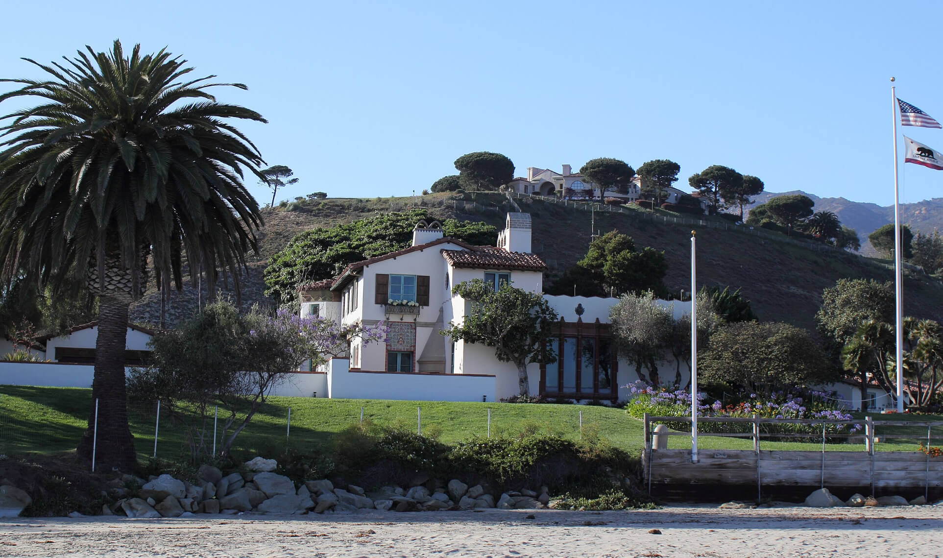
Malibu is located in the Santa Monica Mountains region of Los Angeles County, California, approximately 30 miles (48 km) west of downtown Los Angeles. Known for its Mediterranean climate and 21 miles (34 km) of beaches along the Pacific Ocean, Malibu has long been home to many wealthy Hollywood celebrities and executives.
Malibu location map in California
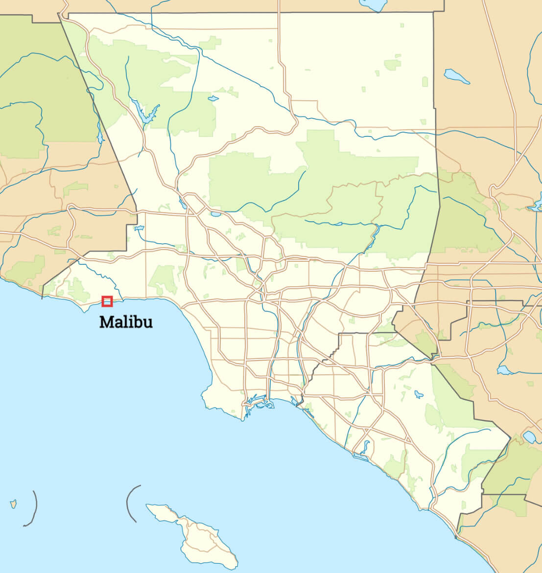
Malibu Map in Los Angeles
Where is located Malibu in Los Angeles
Malibu, Los Angeles California
 Malibu is located in the Santa Monica Mountains region of Los Angeles.
Malibu and Los Angeles satellite map
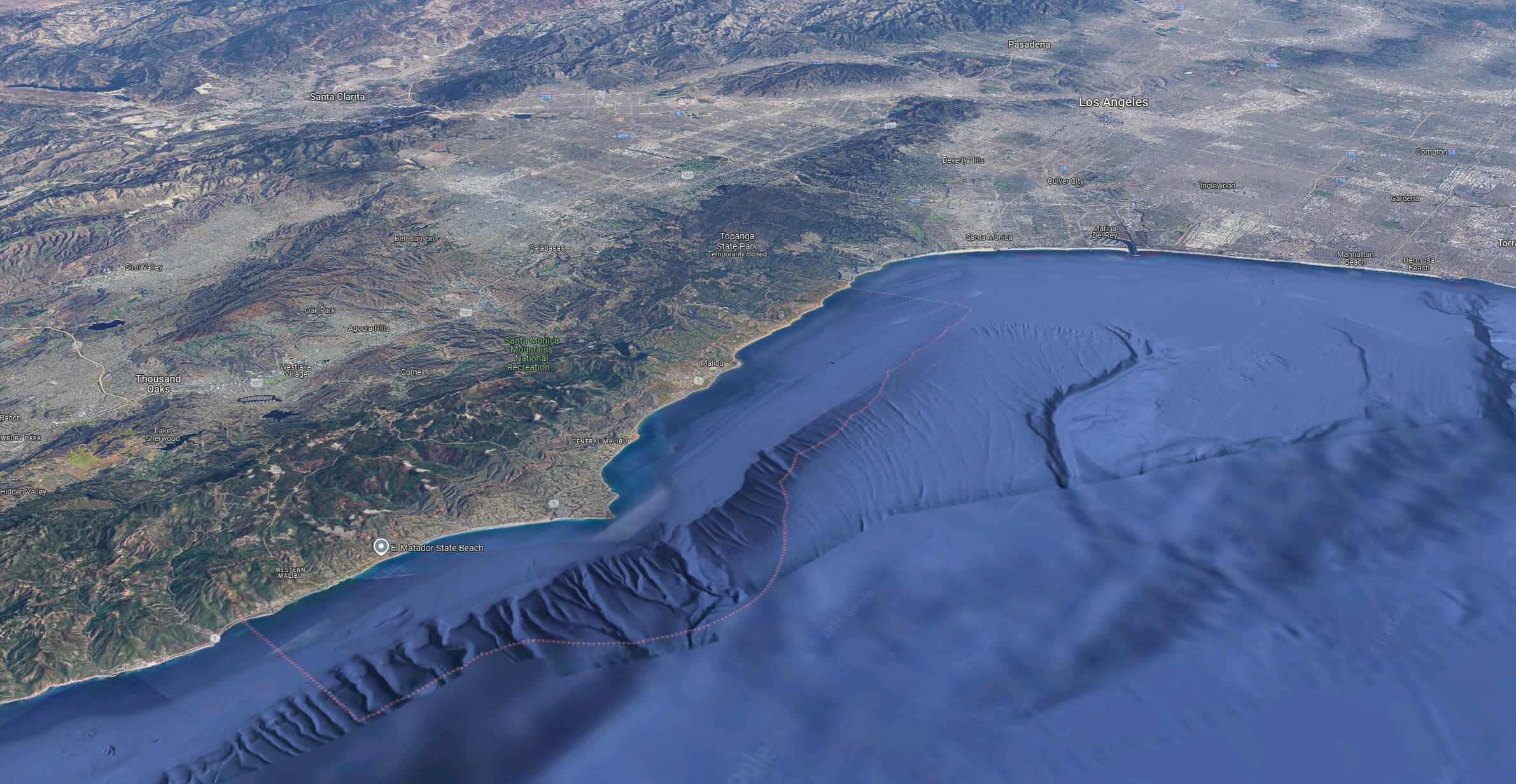 Malibu and Los Angeles satellite map
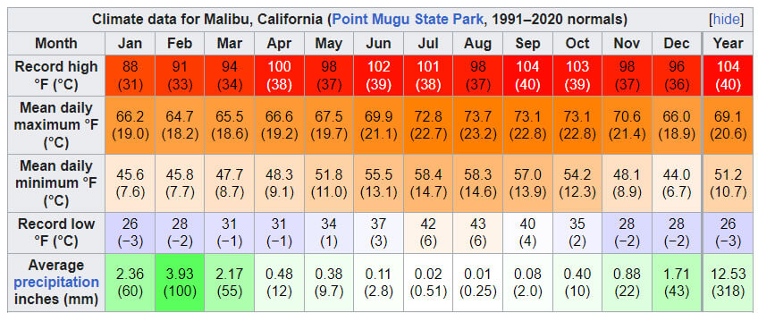
Climate Data for Malibu, California
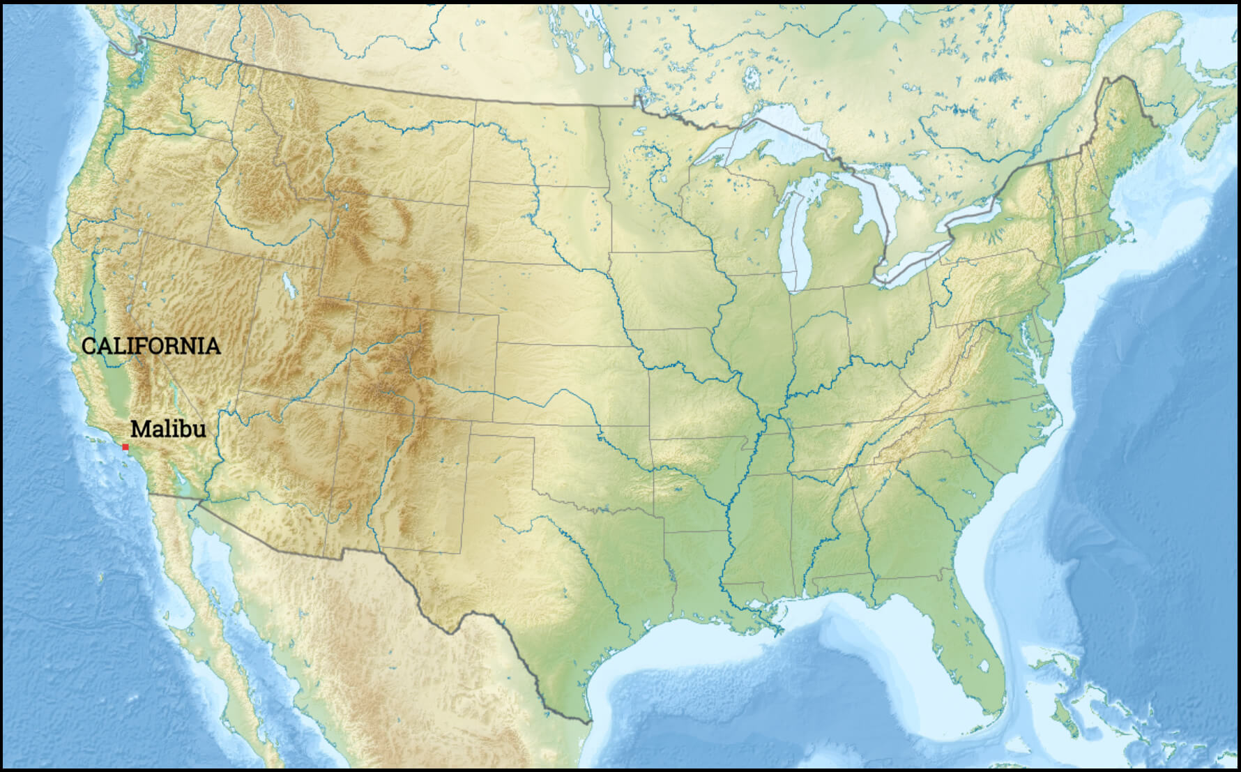
Malibu location map in the United States
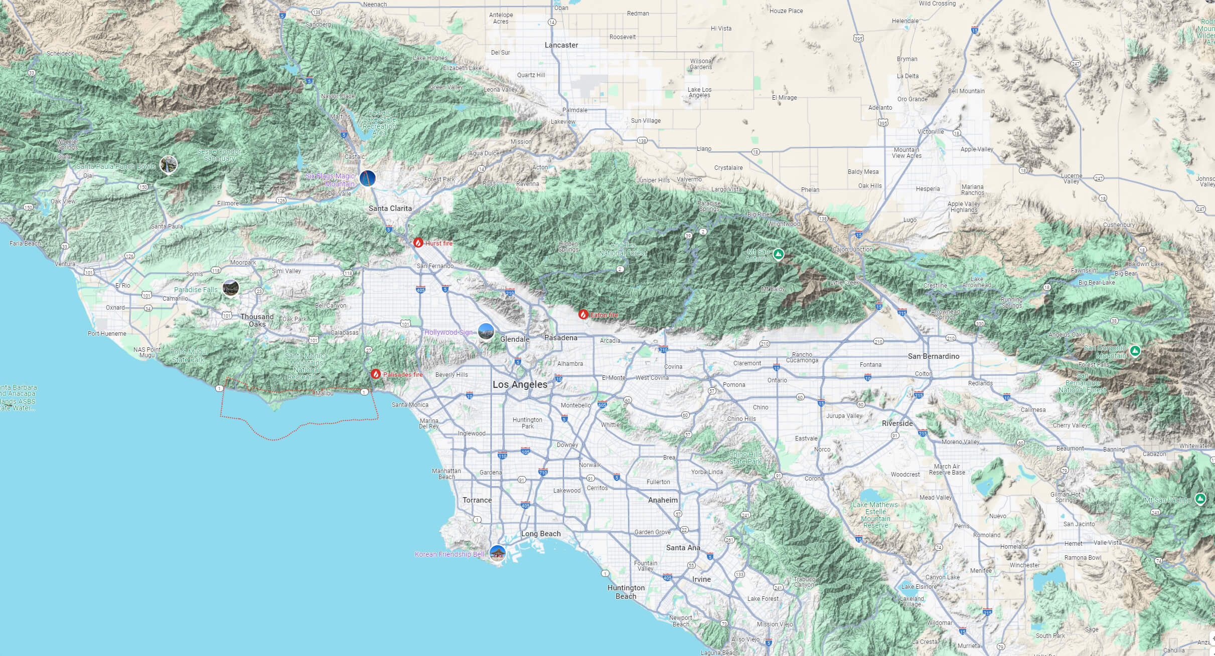
Malibu terrain map LA, California
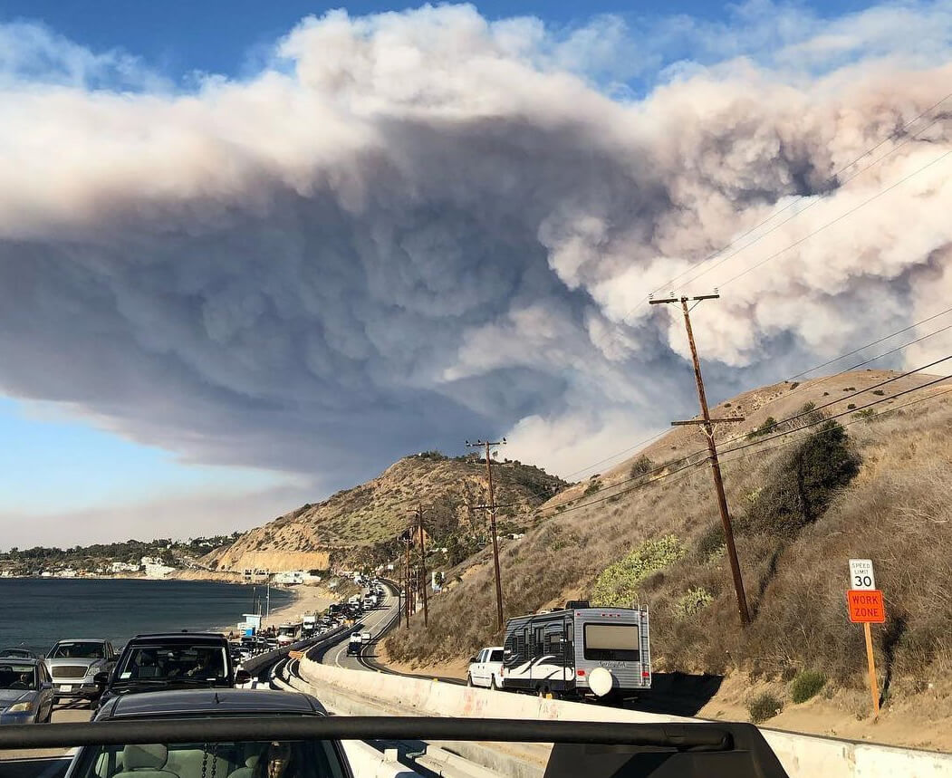
Woolsey Fire seen from the Pacific Coast Highway
Where is Malibu on Los Angeles Map?
Show Google map, satellite map, where is the country located.
Get directions by driving, walking, bicycling, public transportation and travel with street view.
Where is California in the US and and Cities Map of California – @WorldGuide Youtube
Feel free to explore these pages as well:
- Los Angeles Map ↗️
- LA Fires January 2025 ↗️
- Los Angeles Wildfires in Map ↗️
- Palisades Map in Los Angeles ↗️
- Eaton Map in Los Angeles ↗️
- Pasadena Map in Los Angeles ↗️
- San Fernando Map in Los Angeles ↗️
- Discovering Los Angeles ↗️
- Discovering Bakersfield: The Heart of California’s Central Valley ↗️
- Anaheim: California’s Hidden Gem ↗️
- Guide to Los Angeles’ Top 10 Attractions ↗️
- Discover Chula Vista: A Hidden California Gem with Rich Culture and Stunning Views ↗️
- California Map ↗️
- California County Map ↗️
- California Physical Map ↗️
- California Political Map ↗️
- Map of California↗️
- California Cities Map ↗️
- California Road Map ↗️
- California Population Map ↗️
- A Collection of California Maps ↗️
- Discover the California: A Vibrant Journey through Golden State ↗️
- Advertisement -