- Advertisement -
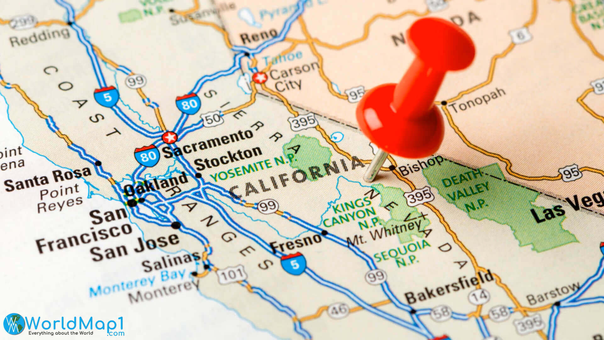
California Cities Map with Landmarks
 California map showing major cities and landmarks across the state
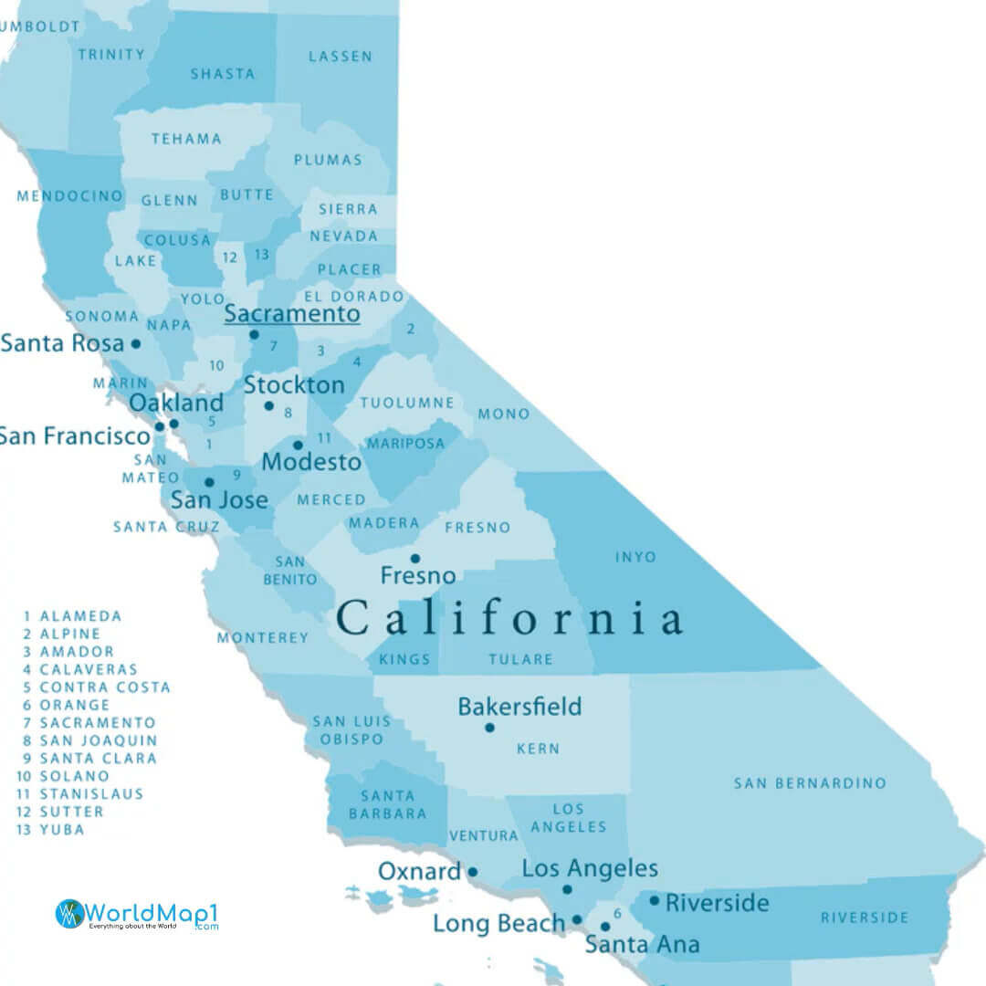
Political Map of California
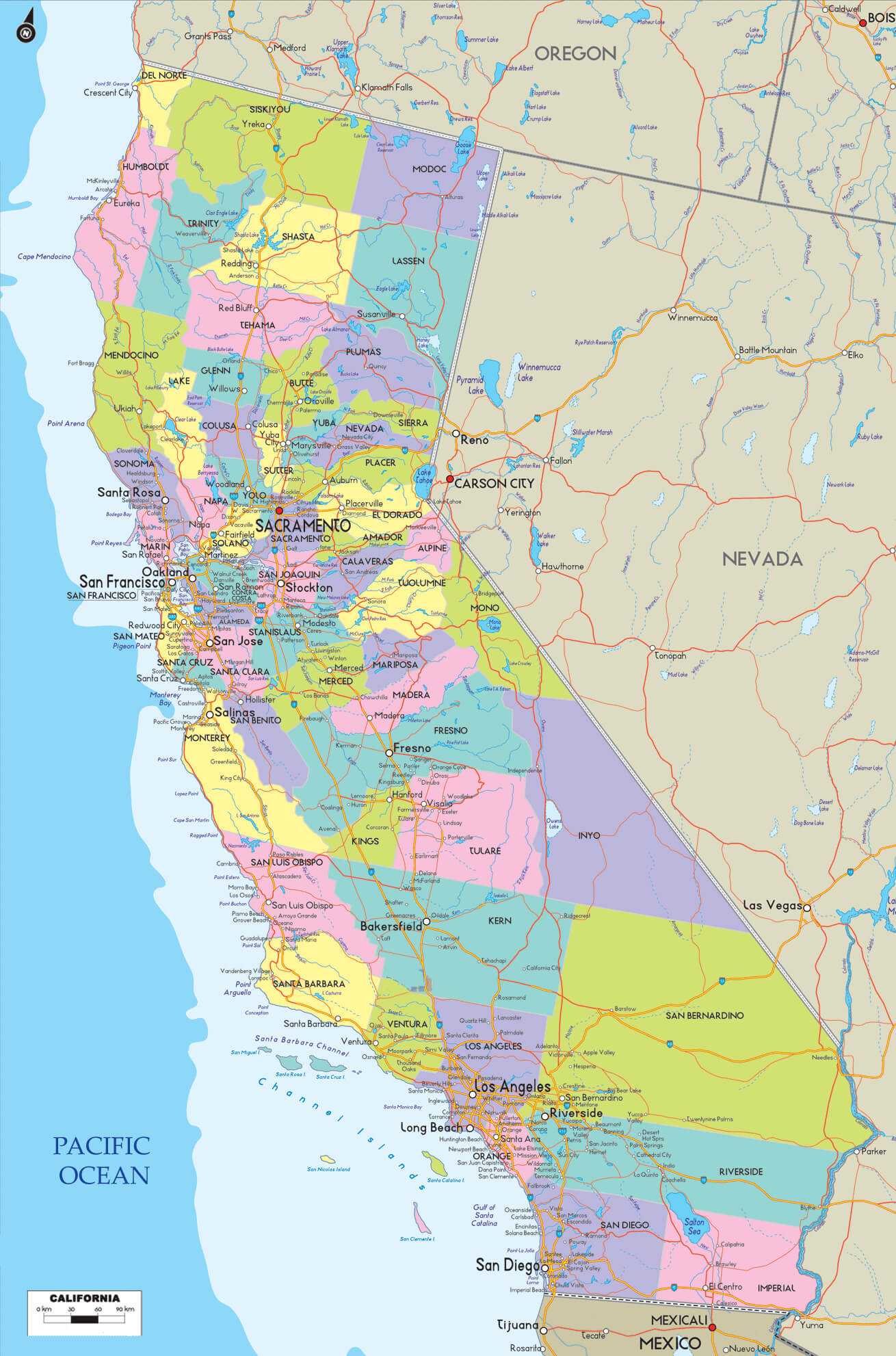 Political map of California showing counties and major cities.
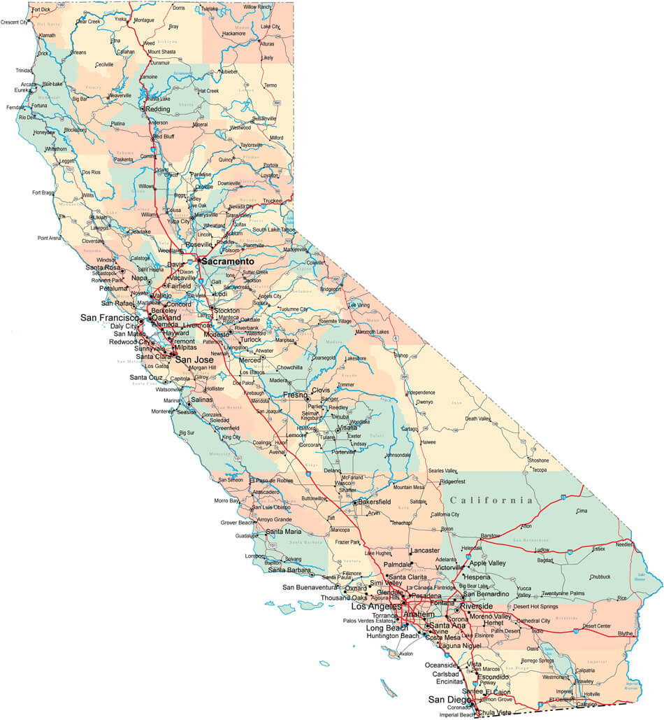
California Cities and State Highways Map
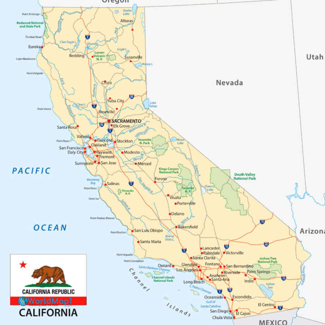
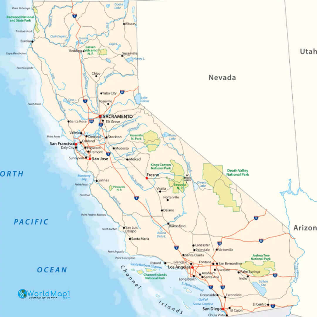
Physical Map of California with Metropolitan Areas
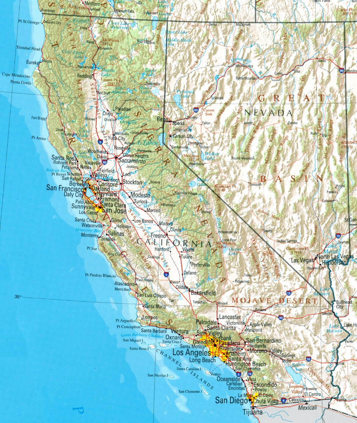 Physical map of California showing metropolitan areas and major geographical features.
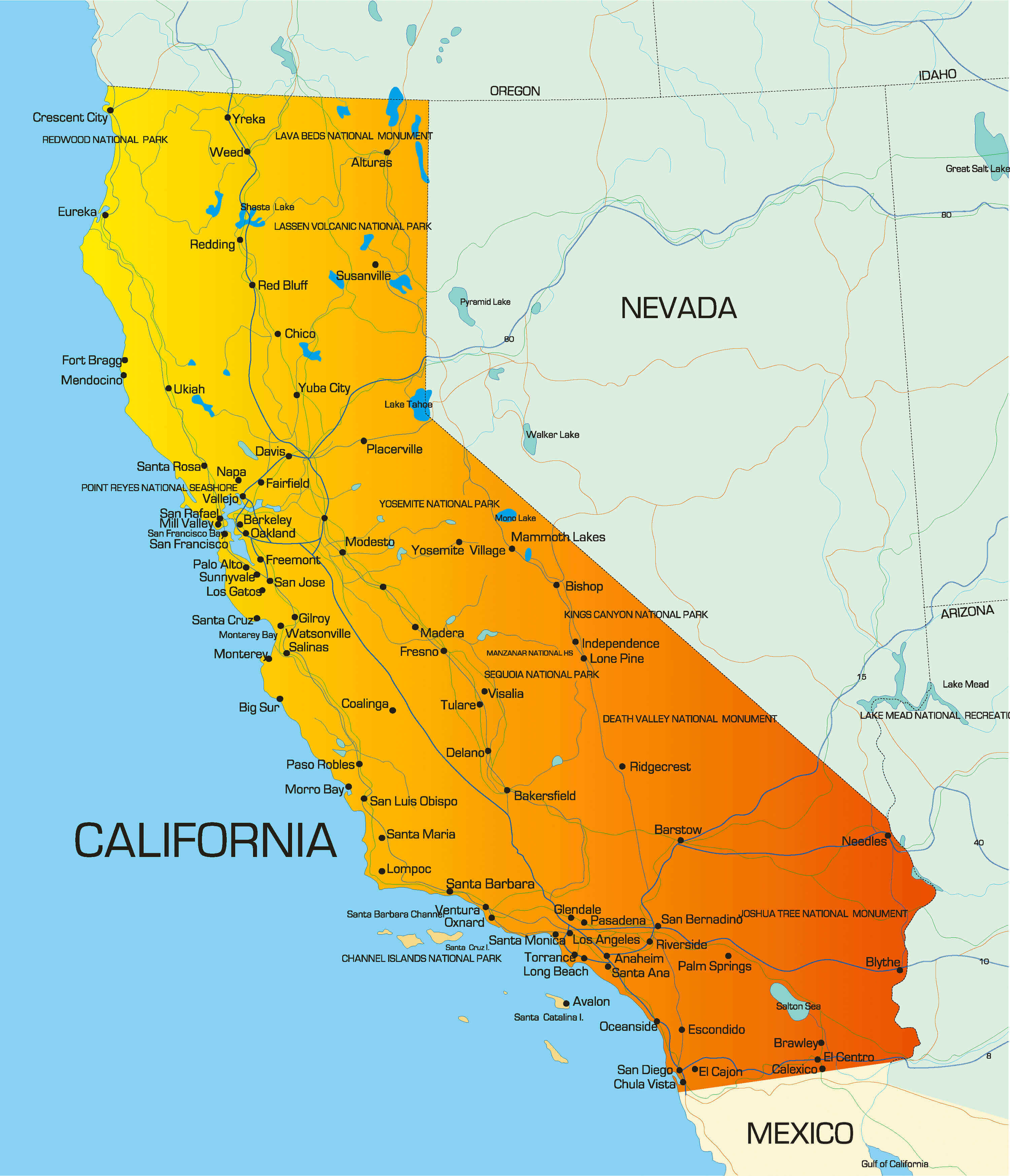
California Travel Map with Iconic Destinations
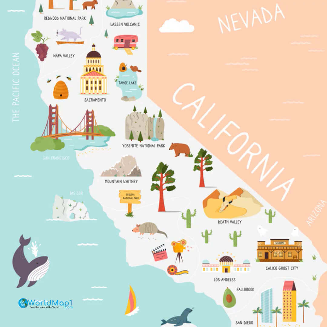 Illustrated California travel map featuring landmarks, parks, and famous attractions.
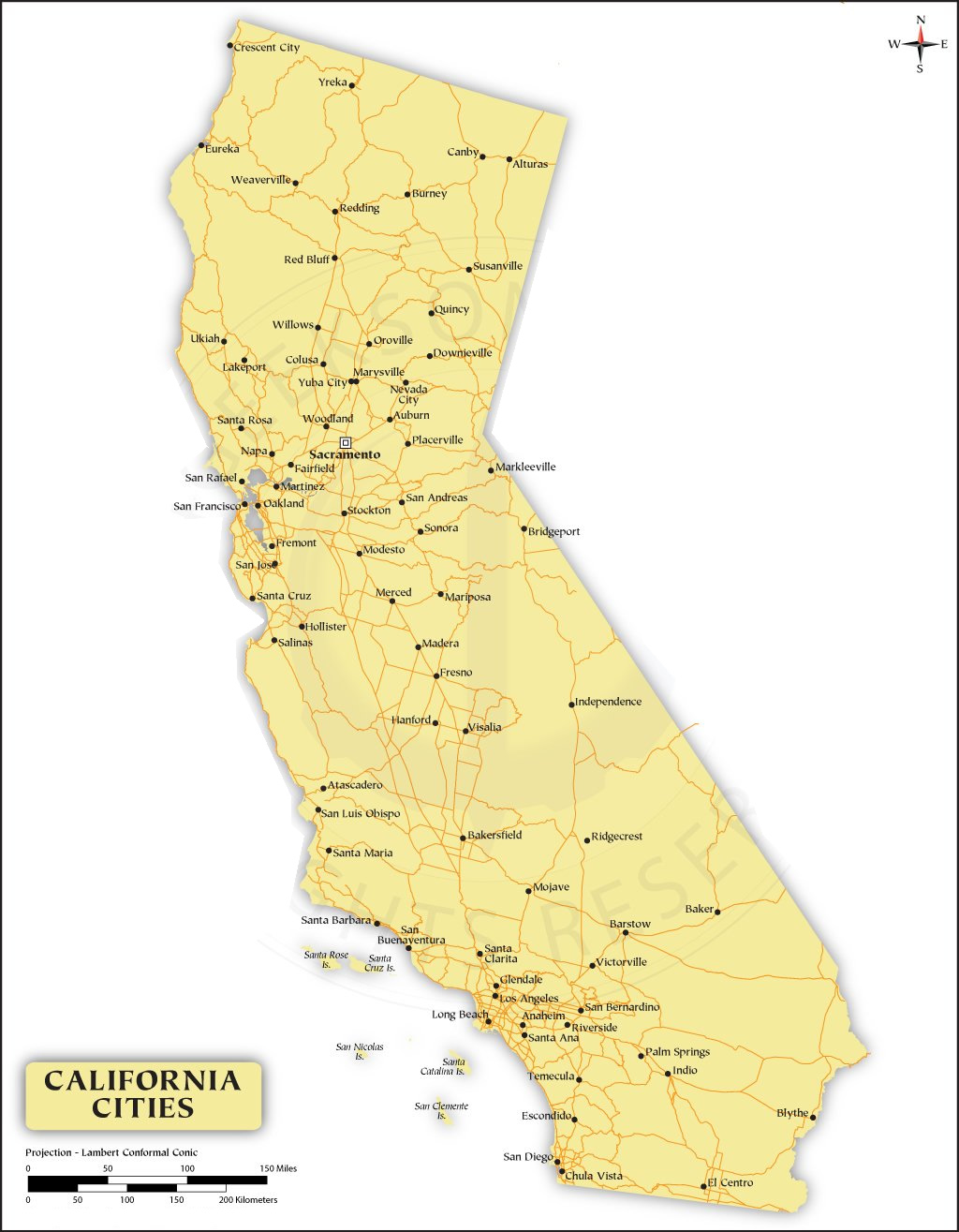
Map of Major Cities in California
Northern California and major cities map
Map of north California with sacramento
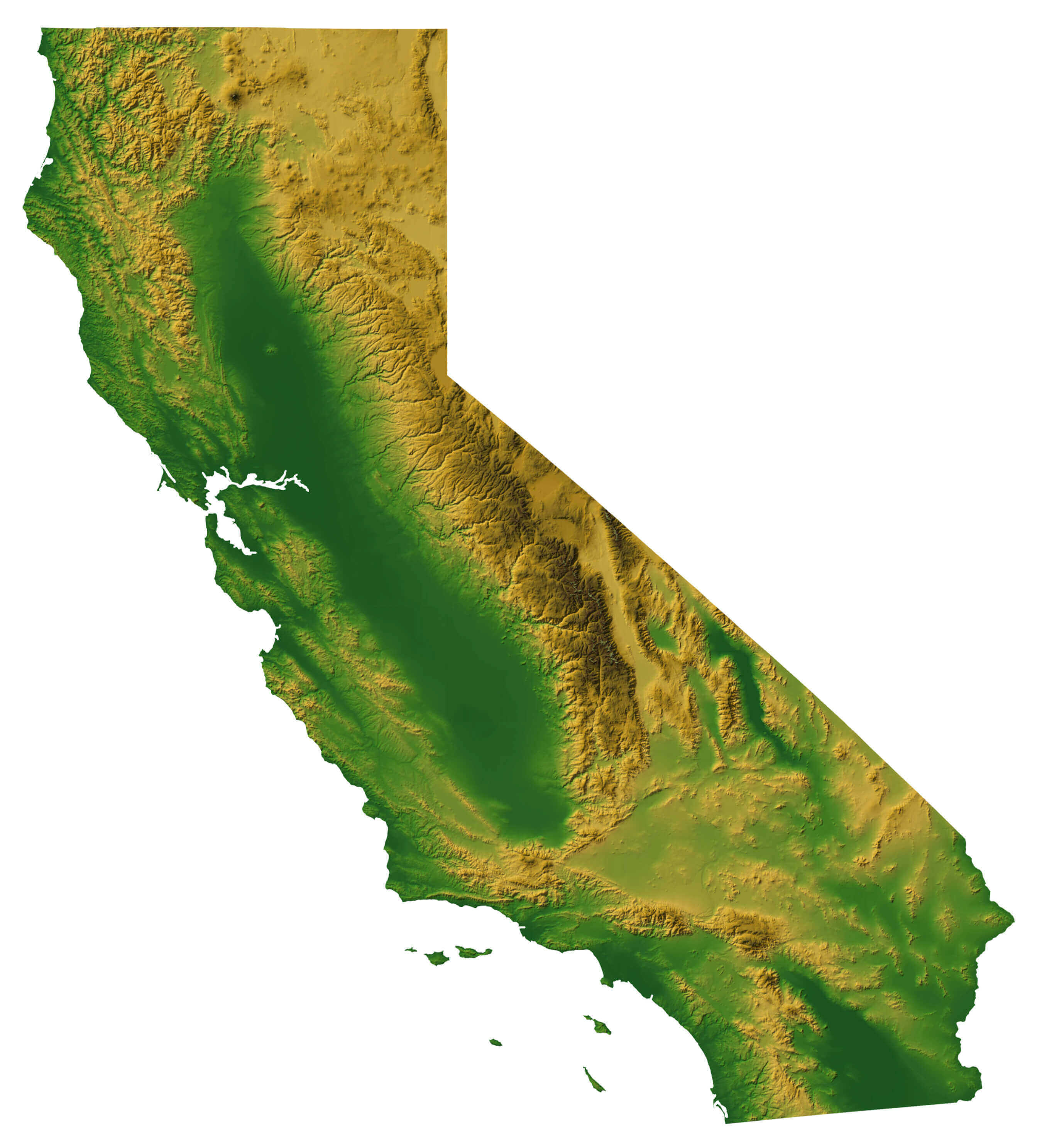
California terrain map
California national parks map
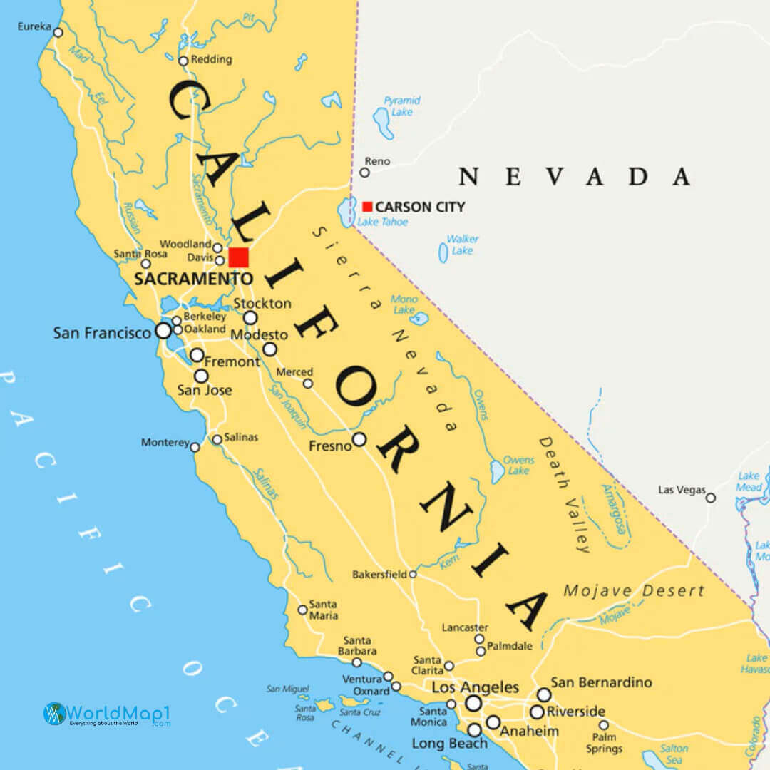
California map with nevada
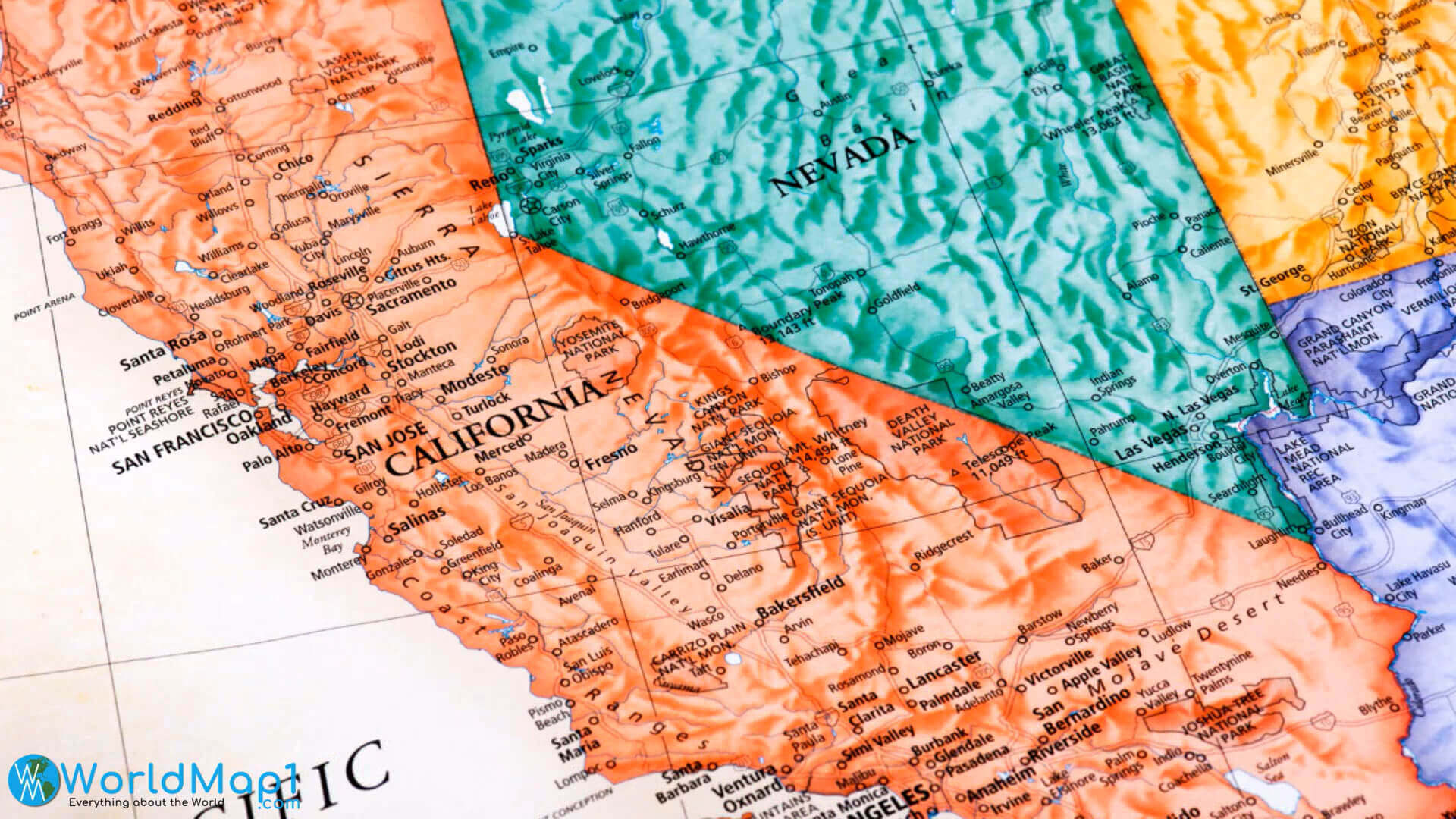
California map with nevada
California map with los angeles
California main cities map
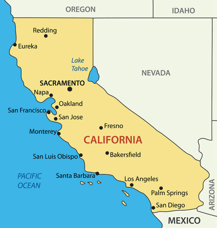 California
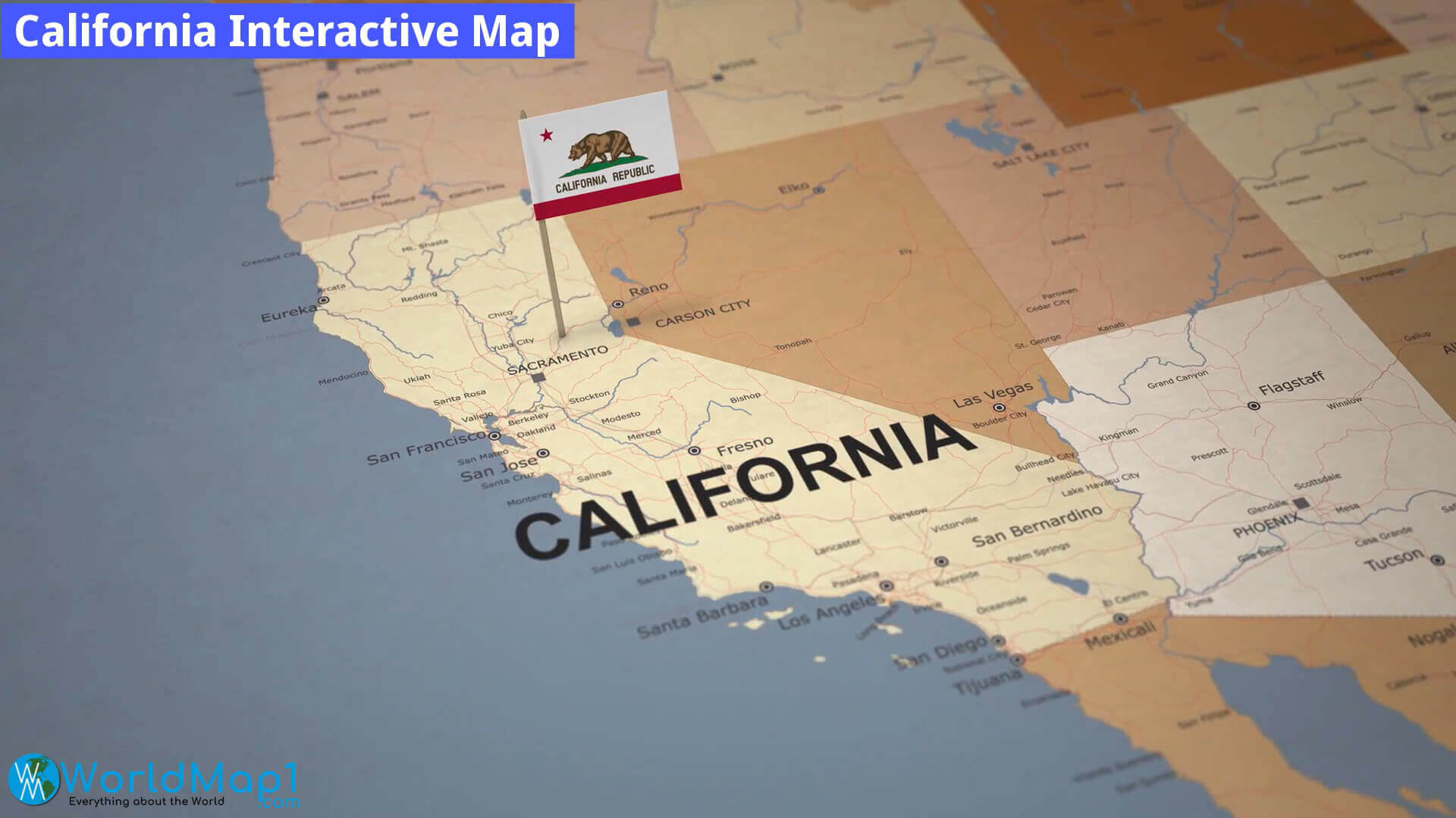
California interactive cities map
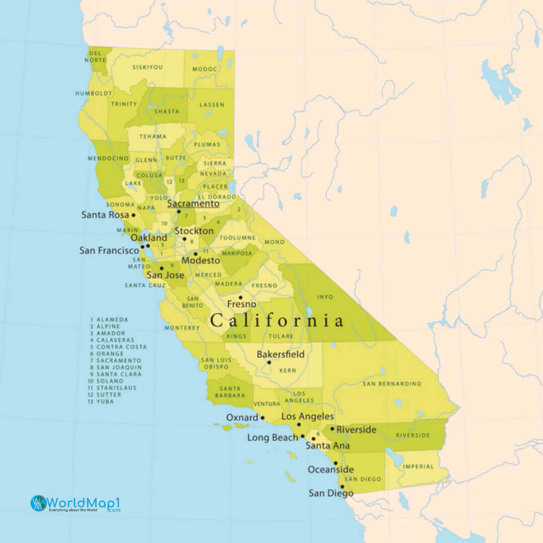
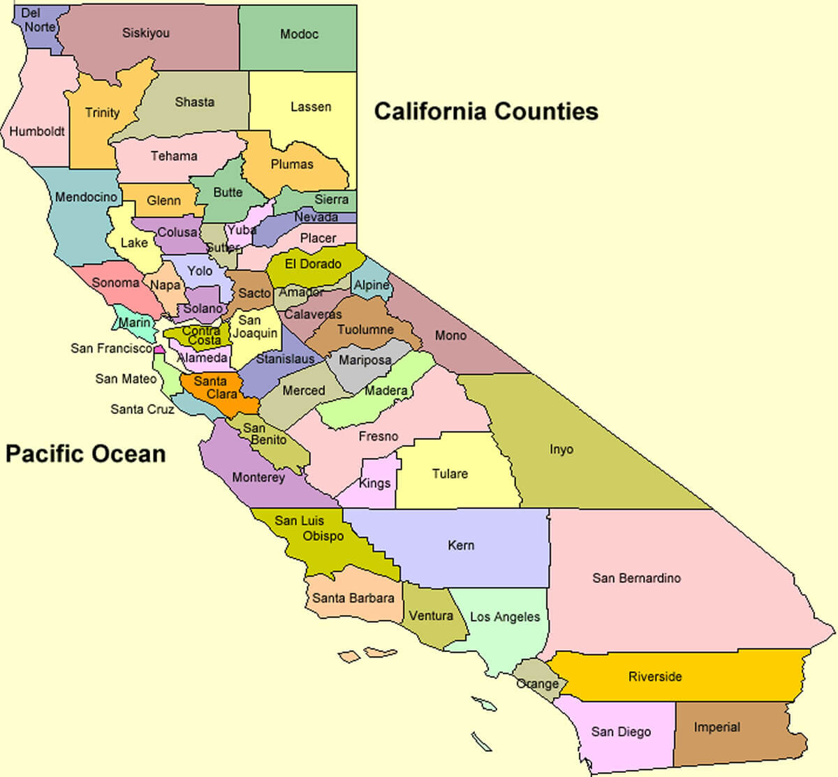
California counties map with major cities
California cities map with roads
California cities map with counties

California map with san francisco and san jose
Where is California on the United States Map?
Show Google map, satellite map, where is the country located.
Get directions by driving, walking, bicycling, public transportation and travel with street view.
Feel free to explore these pages as well:
- California Map ↗️
- Map of California↗️
- California County Map ↗️
- California Physical Map ↗️
- California Political Map ↗️
- California Cities Map ↗️
- California Road Map ↗️
- A Collection of California Maps ↗️
- Los Angeles Map ↗️
- LA Fires January 2025 ↗️
- Los Angeles Wildfires in Map ↗️
- Palisades Map in Los Angeles ↗️
- Malibu Map in Los Angeles ↗️
- San Fernando Map in Los Angeles ↗️
- Eaton Map in Los Angeles ↗️
- North America Earth Map ↗️
- Discovering Los Angeles ↗️
- Discover the California: A Vibrant Journey through Golden State ↗️
- Discovering Bakersfield: The Heart of California’s Central Valley ↗️
- Anaheim: California’s Hidden Gem ↗️
- Guide to Los Angeles’ Top 10 Attractions ↗️
- Discover Chula Vista: A Hidden California Gem with Rich Culture and Stunning Views ↗️
- United States Map ↗️
- Map of United States ↗️
- North America Map ↗️
- Advertisement -