- Advertisement -
Explore the political map of California, showing its 58 counties, major cities and state boundaries, California political and physical map, providing a clear view of how the Golden State is organized and governed.
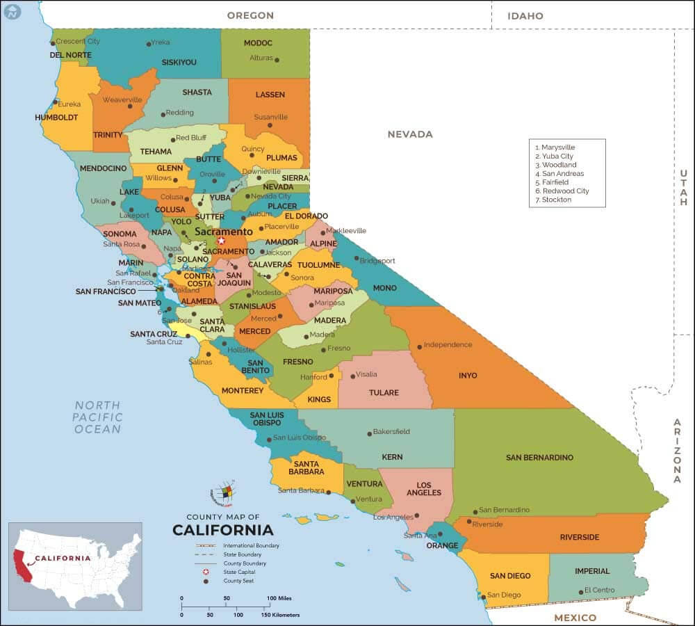
California Political Map
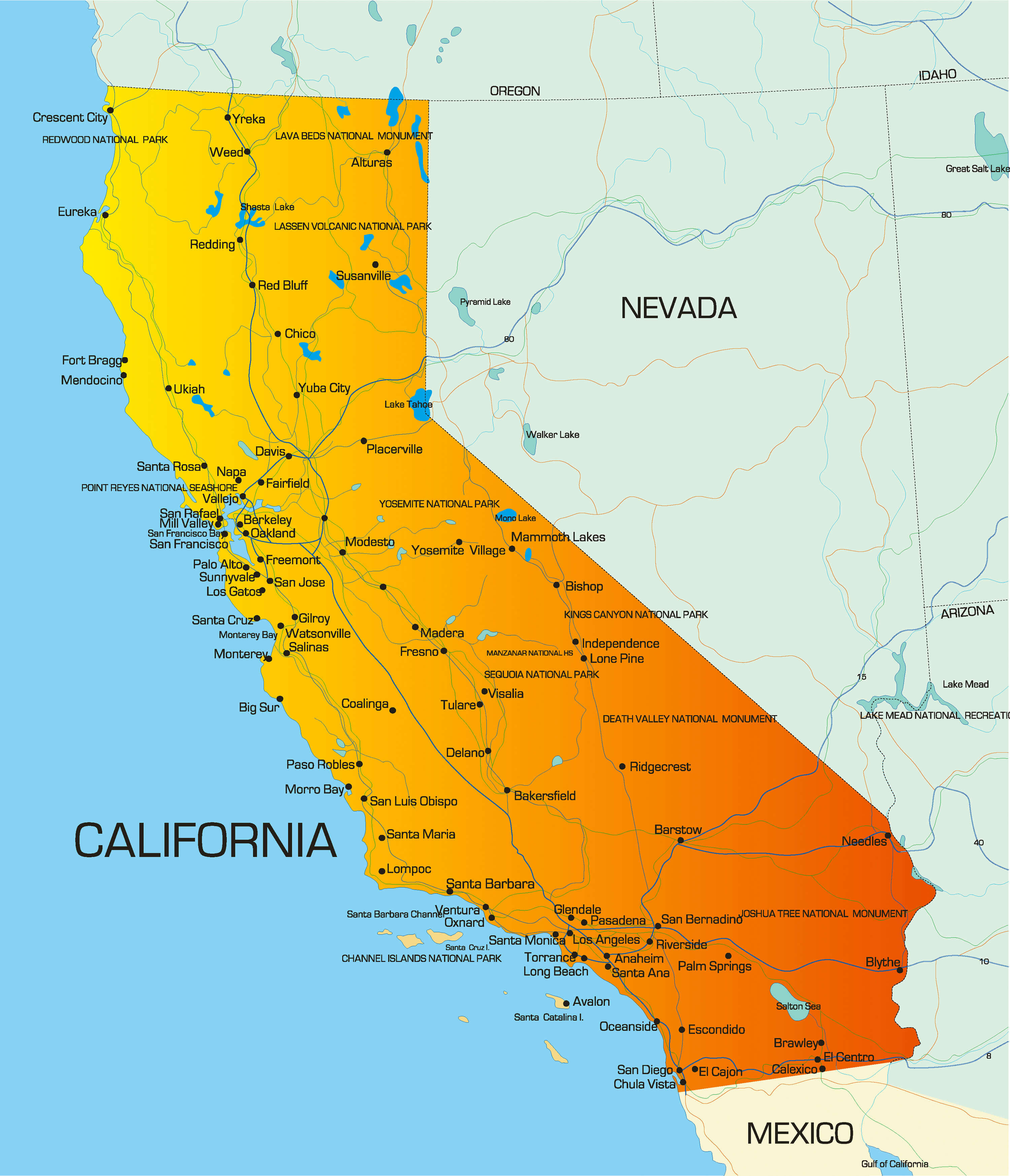 California political Map highlighting cities, counties, and landmarks.
California Political Map with Counties
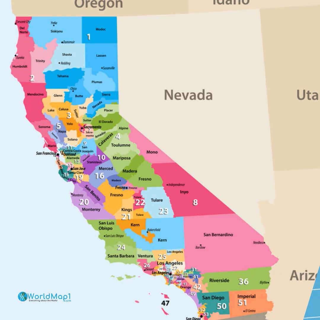 California political Map showing all counties with clear labels and boundaries.
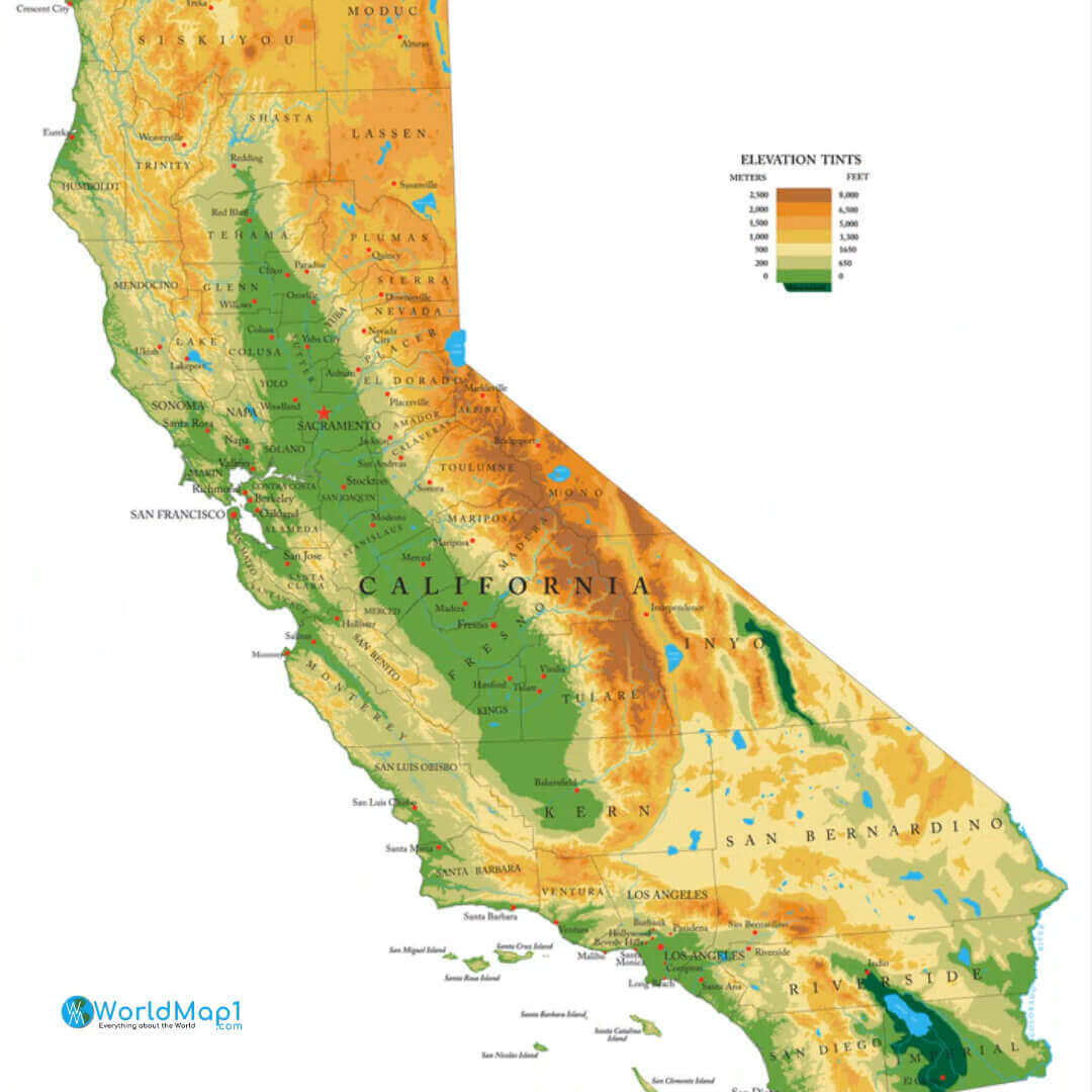
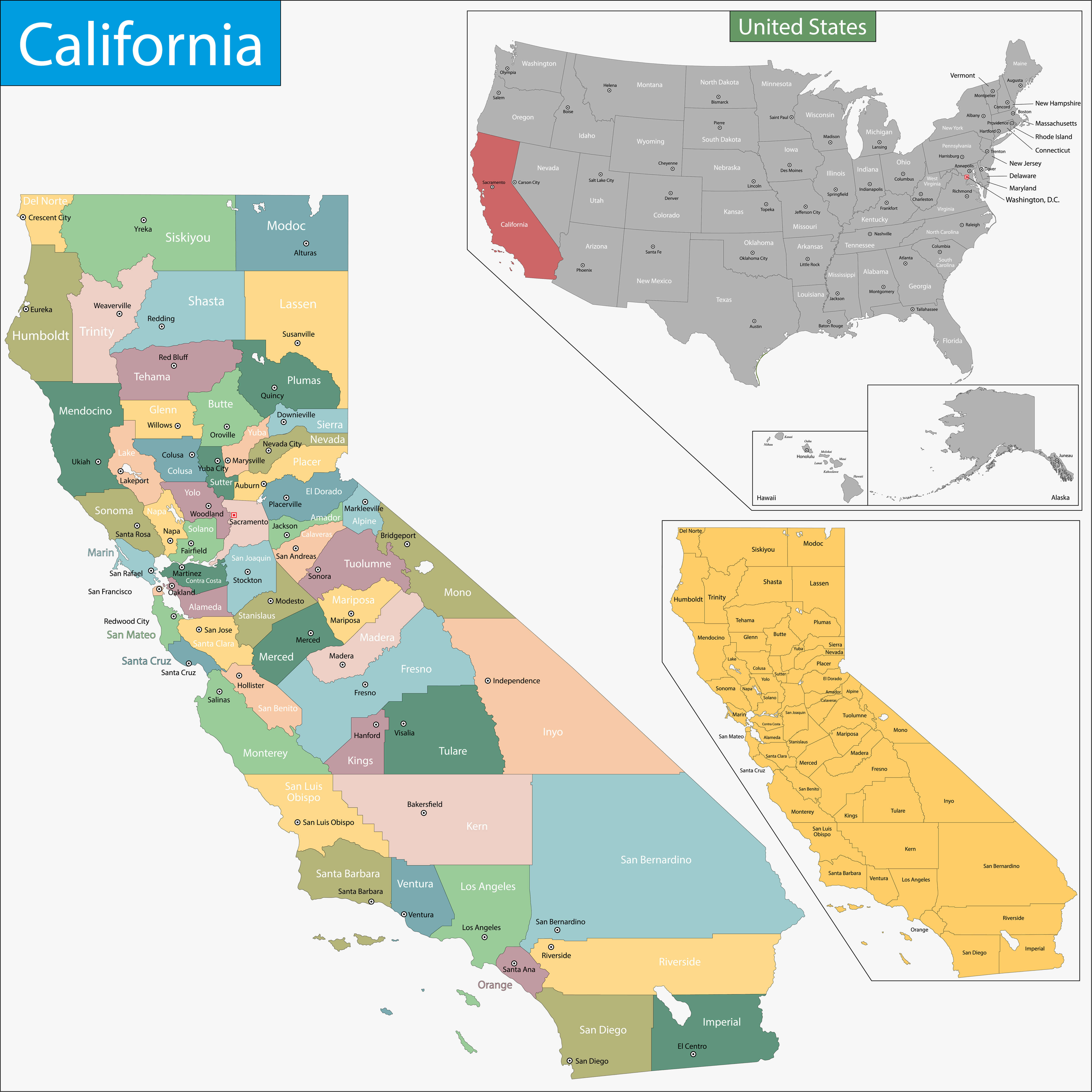
Physical and Political Map of California
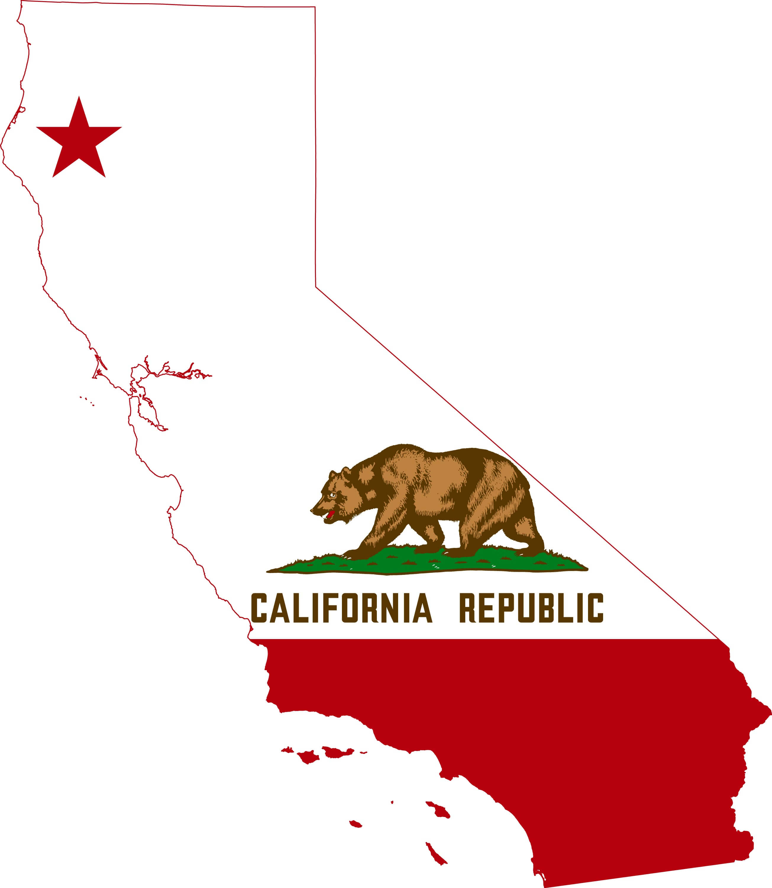
California political Map with ca flag
California political Map with counties
California Political Map with U.S. Location
California Time Zones Map with US States
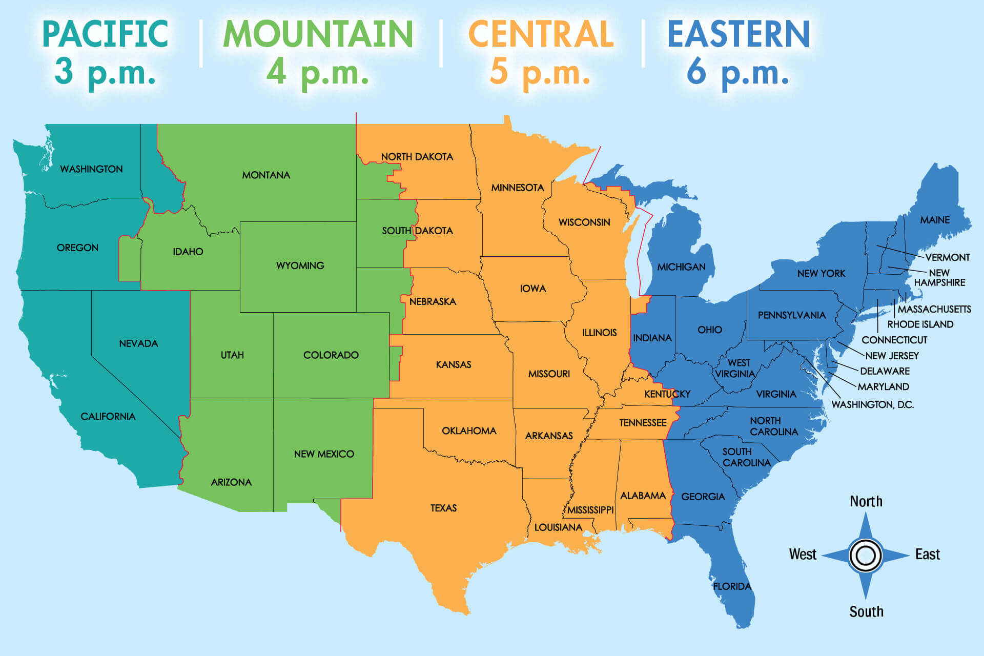 Map showing California in Pacific Time Zone alongside U.S. time zones.
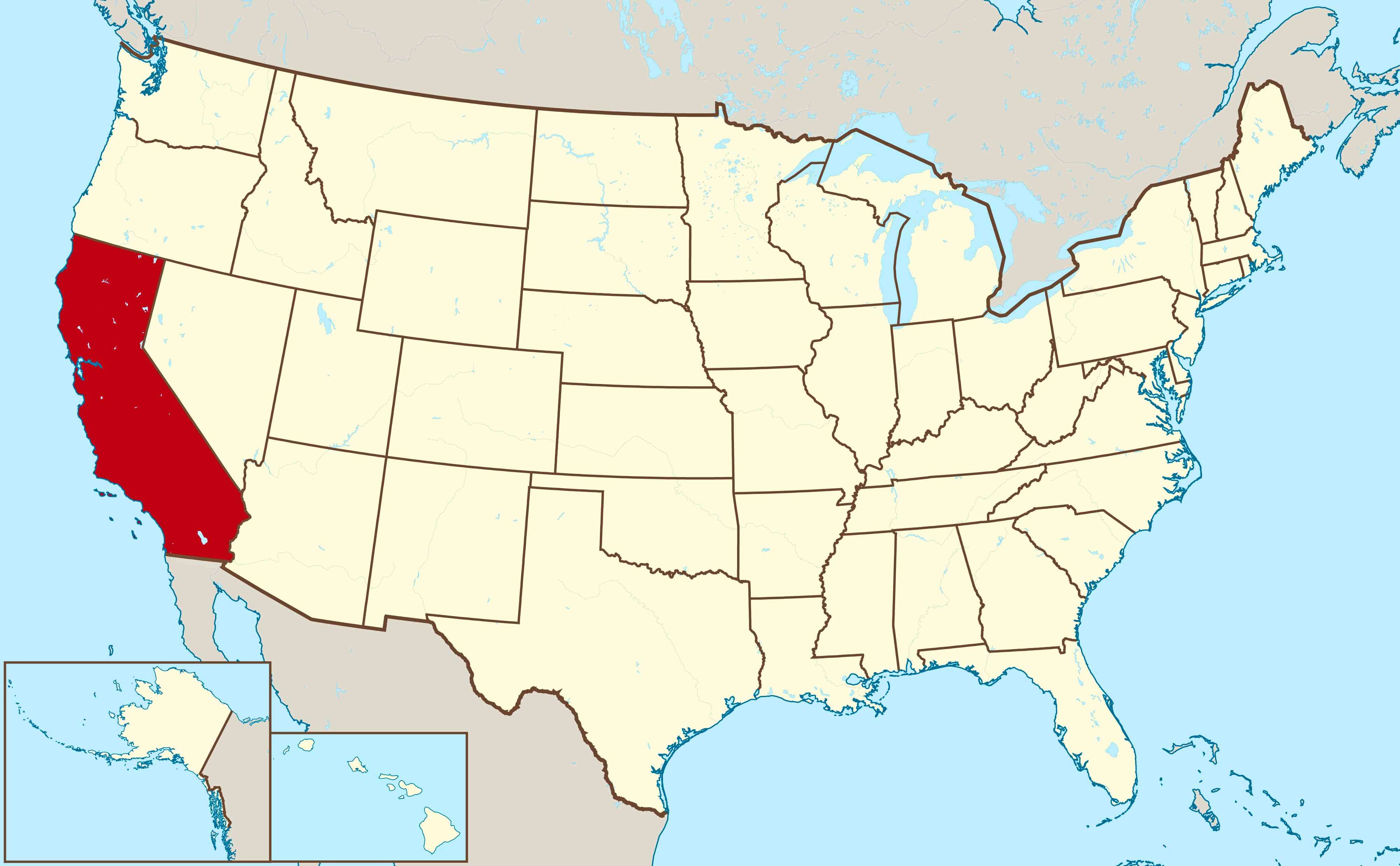
Map of California location on the US map
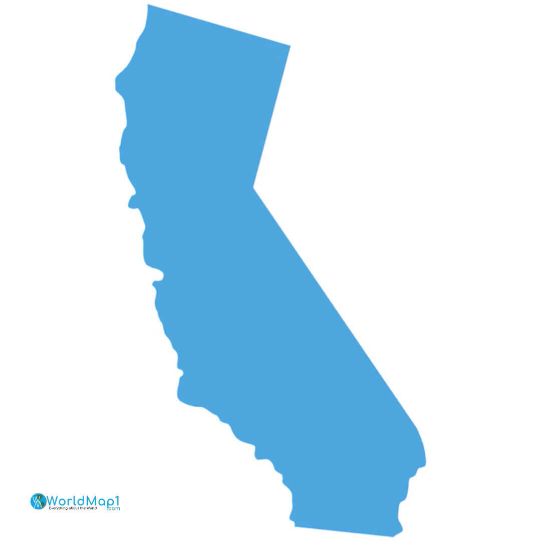
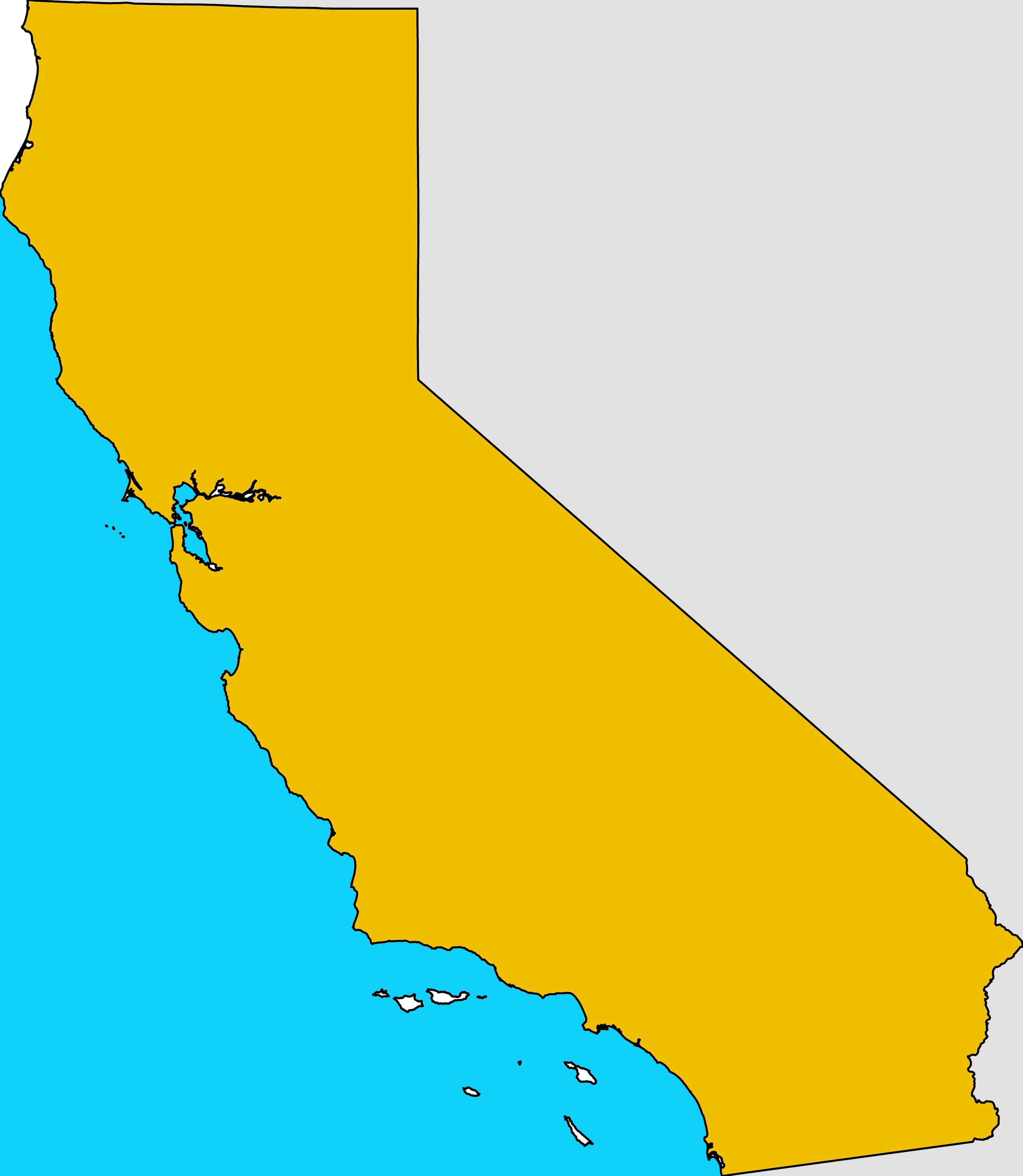
North California blank map
where is located California in the US
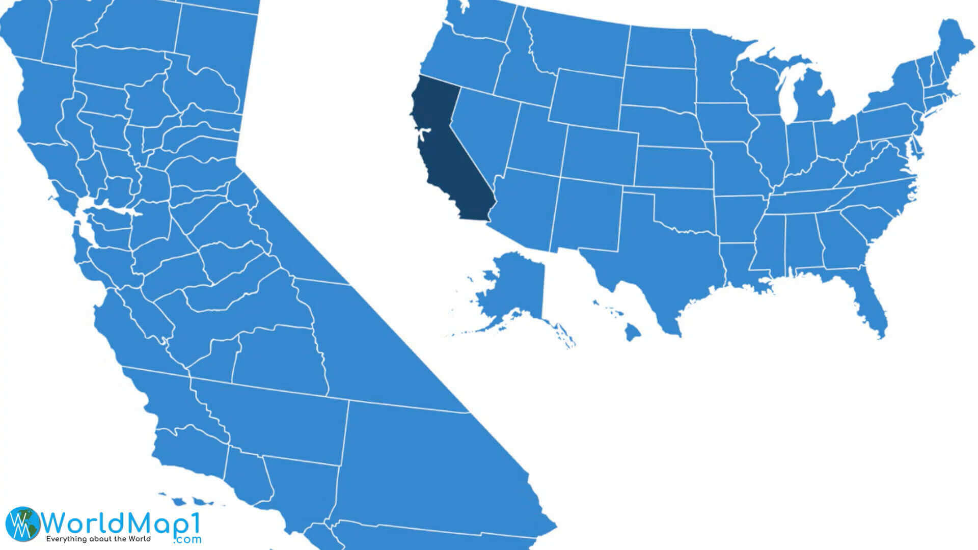
California political Map western states of the US
California blank map
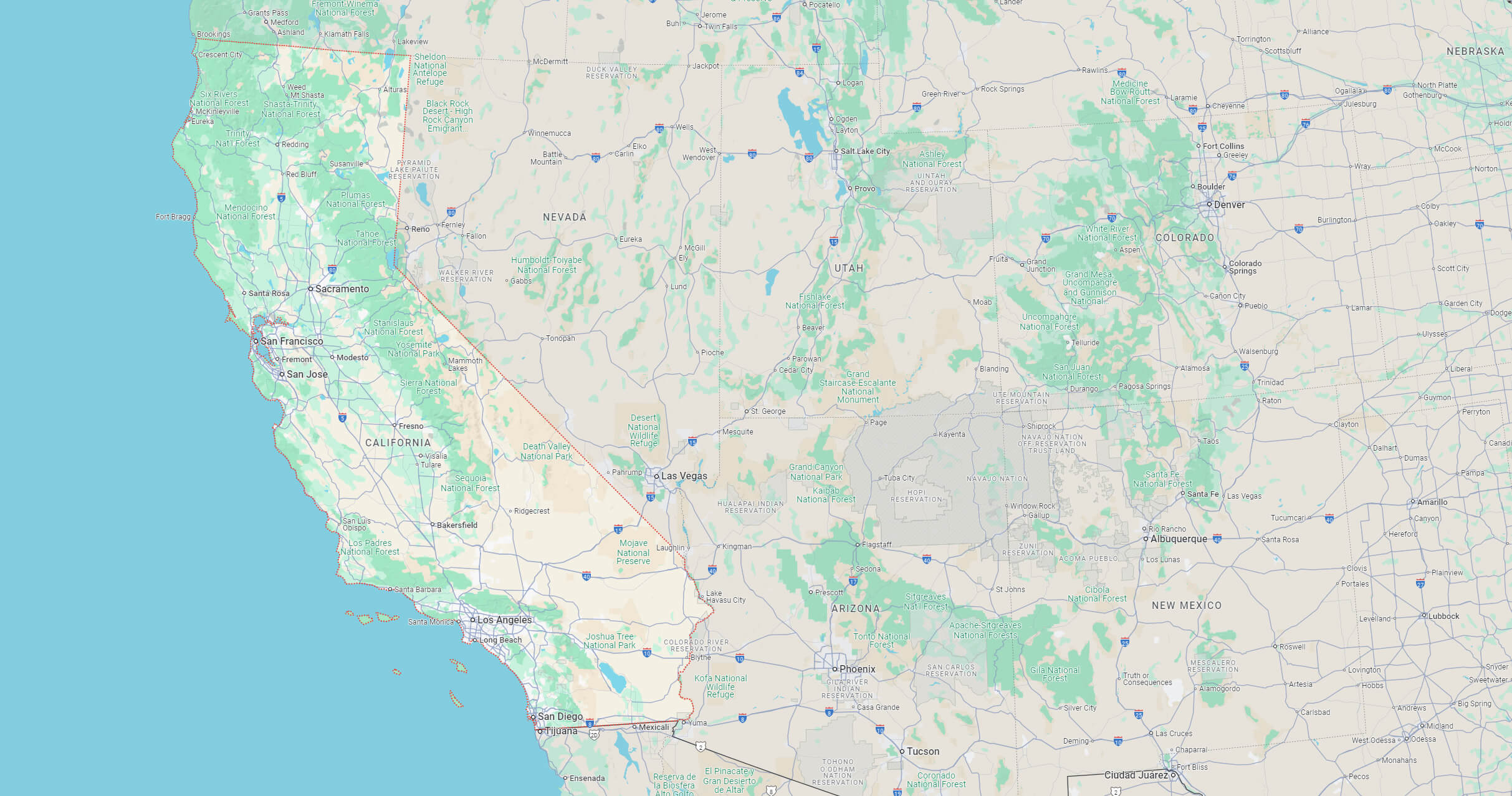
Where is California on the United States Map?
Show Google map, satellite map, where is the country located.
Get directions by driving, walking, bicycling, public transportation and travel with street view.
Feel free to explore these pages as well:
- California Map ↗️
- Map of California↗️
- California County Map ↗️
- California Physical Map ↗️
- California Cities Map ↗️
- California Road Map ↗️
- California Population Map ↗️
- A Collection of California Maps ↗️
- Los Angeles Map ↗️
- LA Fires January 2025 ↗️
- Los Angeles Wildfires in Map ↗️
- Palisades Map in Los Angeles ↗️
- Malibu Map in Los Angeles ↗️
- San Fernando Map in Los Angeles ↗️
- Eaton Map in Los Angeles ↗️
- North America Earth Map ↗️
- Discovering Los Angeles ↗️
- Discover the California: A Vibrant Journey through Golden State ↗️
- Discovering Bakersfield: The Heart of California’s Central Valley ↗️
- Anaheim: California’s Hidden Gem ↗️
- Guide to Los Angeles’ Top 10 Attractions ↗️
- Discover Chula Vista: A Hidden California Gem with Rich Culture and Stunning Views ↗️
- United States Map ↗️
- Map of United States ↗️
- North America Map ↗️
- Advertisement -