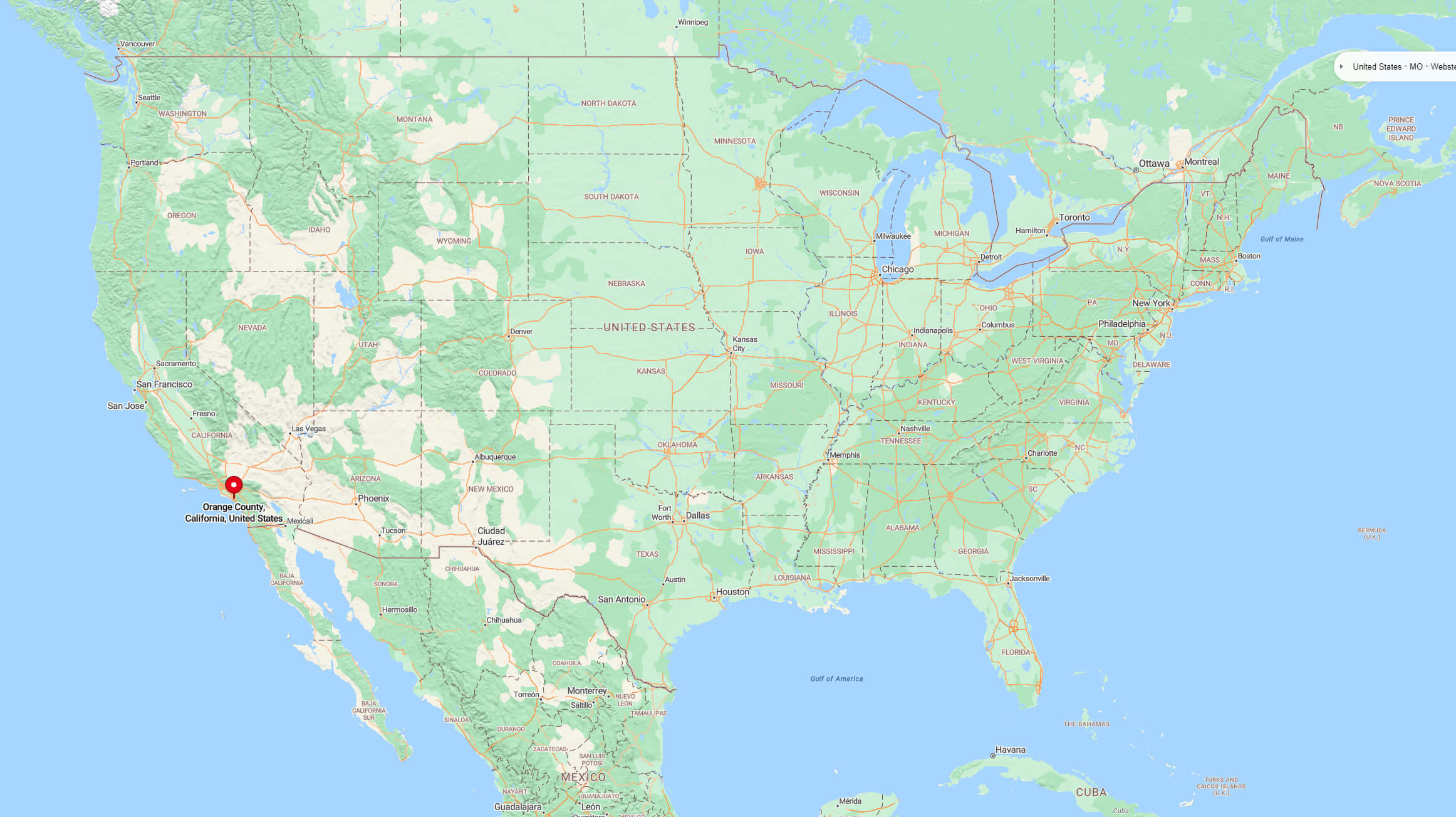
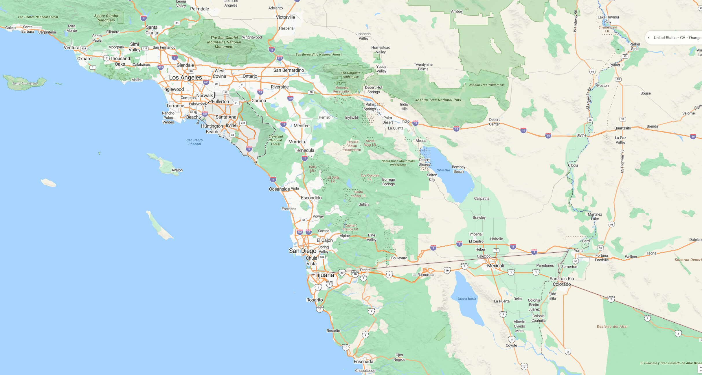
Explore Orange County’s geographic location on city and terrain maps, and discover its position within California and the United States. Located in Southern California between Los Angeles and San Diego, Orange County boasts a stunning Pacific coastline, diverse cities such as Anaheim and Irvine, and a warm Mediterranean climate.
Where is Orange County on the US map
Geography
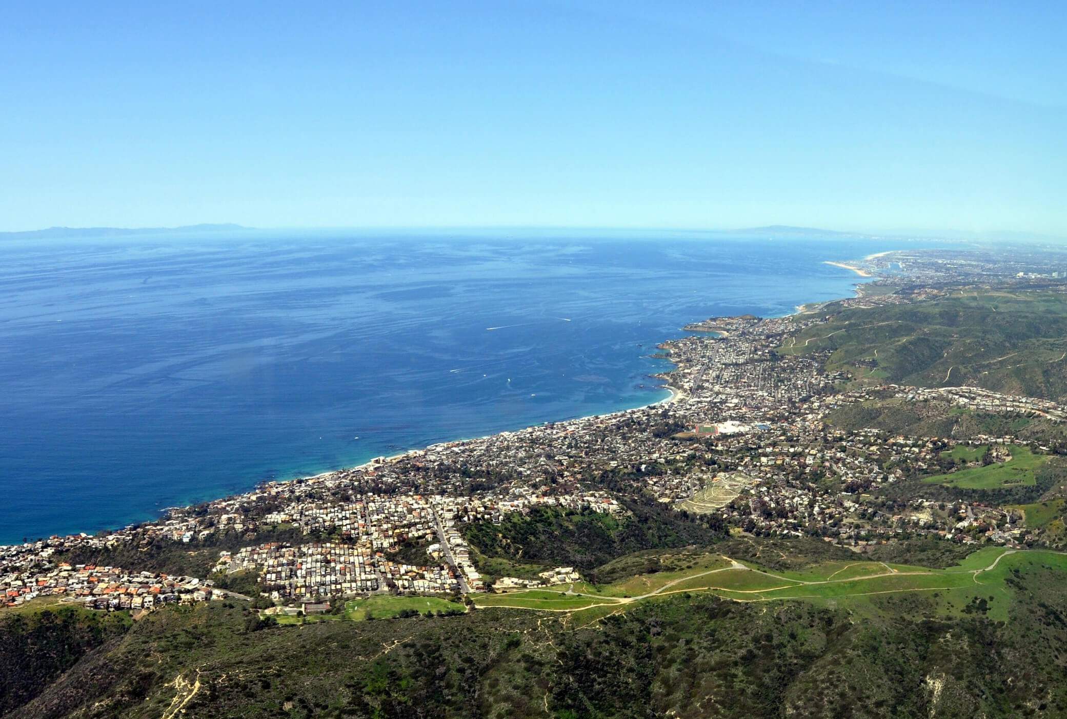
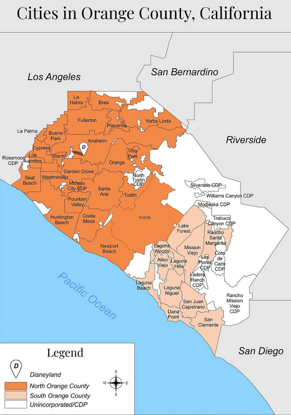
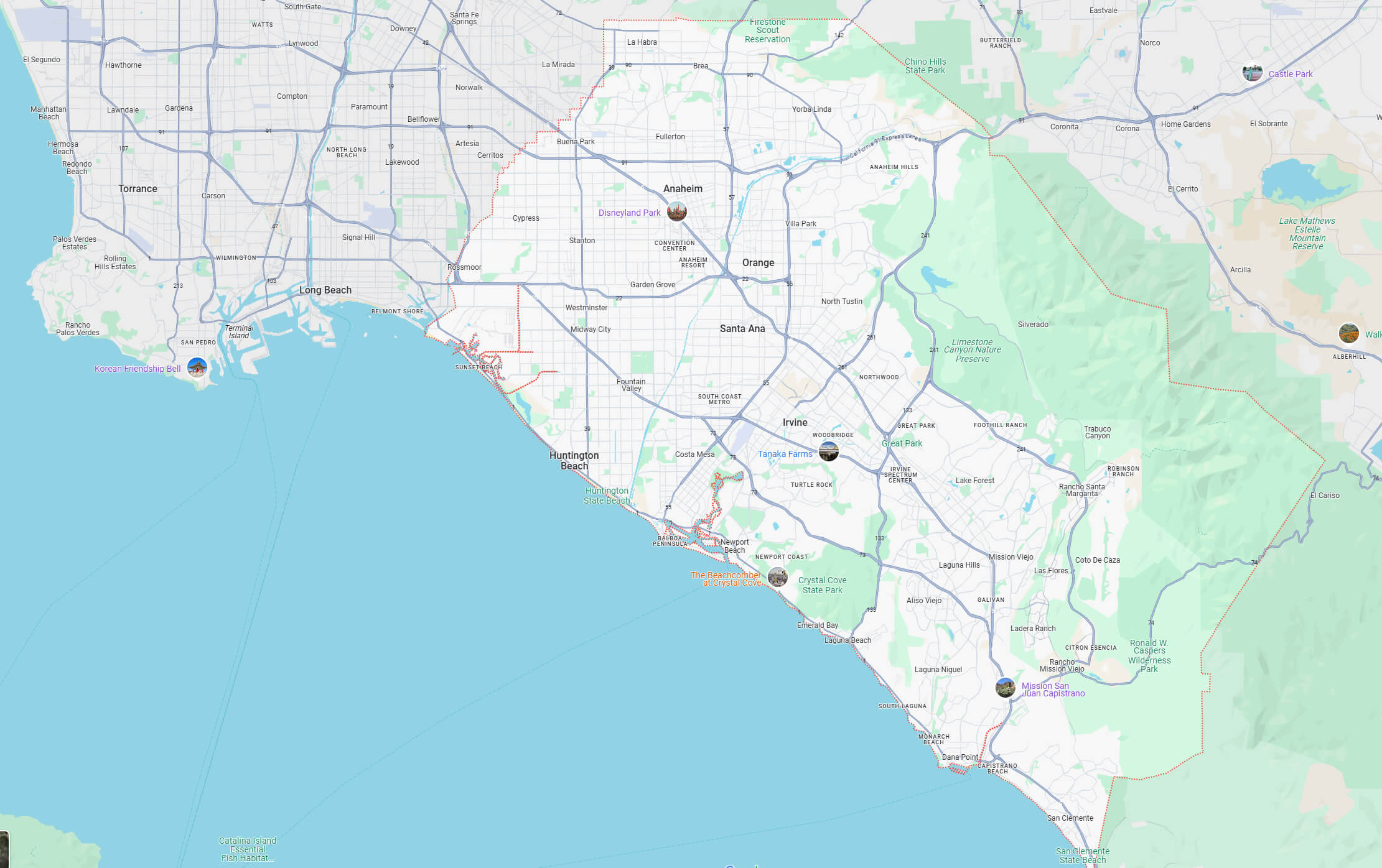
While primarily suburban, Orange County is the second-most densely populated county in California, following San Francisco County. The county’s three largest cities—Anaheim, Santa Ana (the county seat), and Irvine—each have populations exceeding 300,000 residents. Additionally, six cities within the county are located along the Pacific coast: Seal Beach, Huntington Beach, Newport Beach, Laguna Beach, Dana Point, and San Clemente.
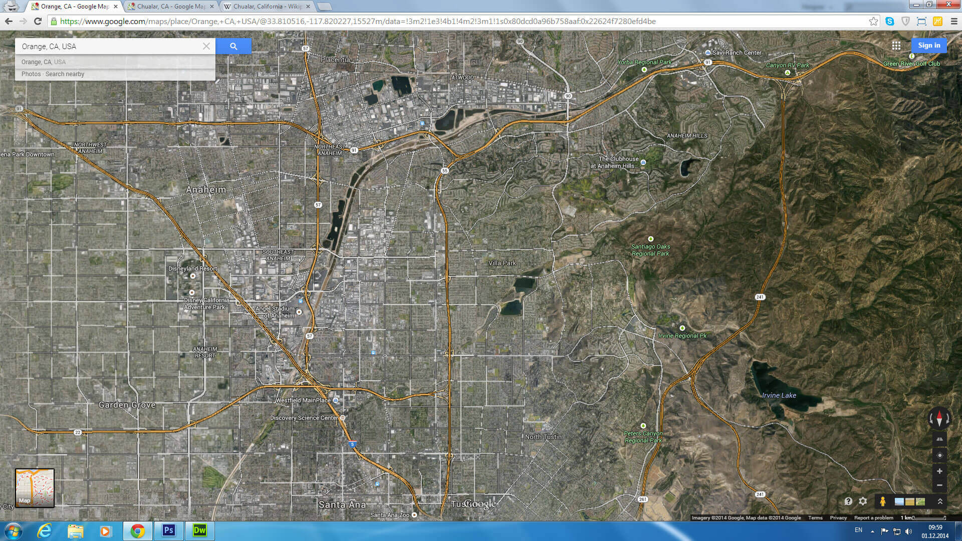
Orange County map California us satellite
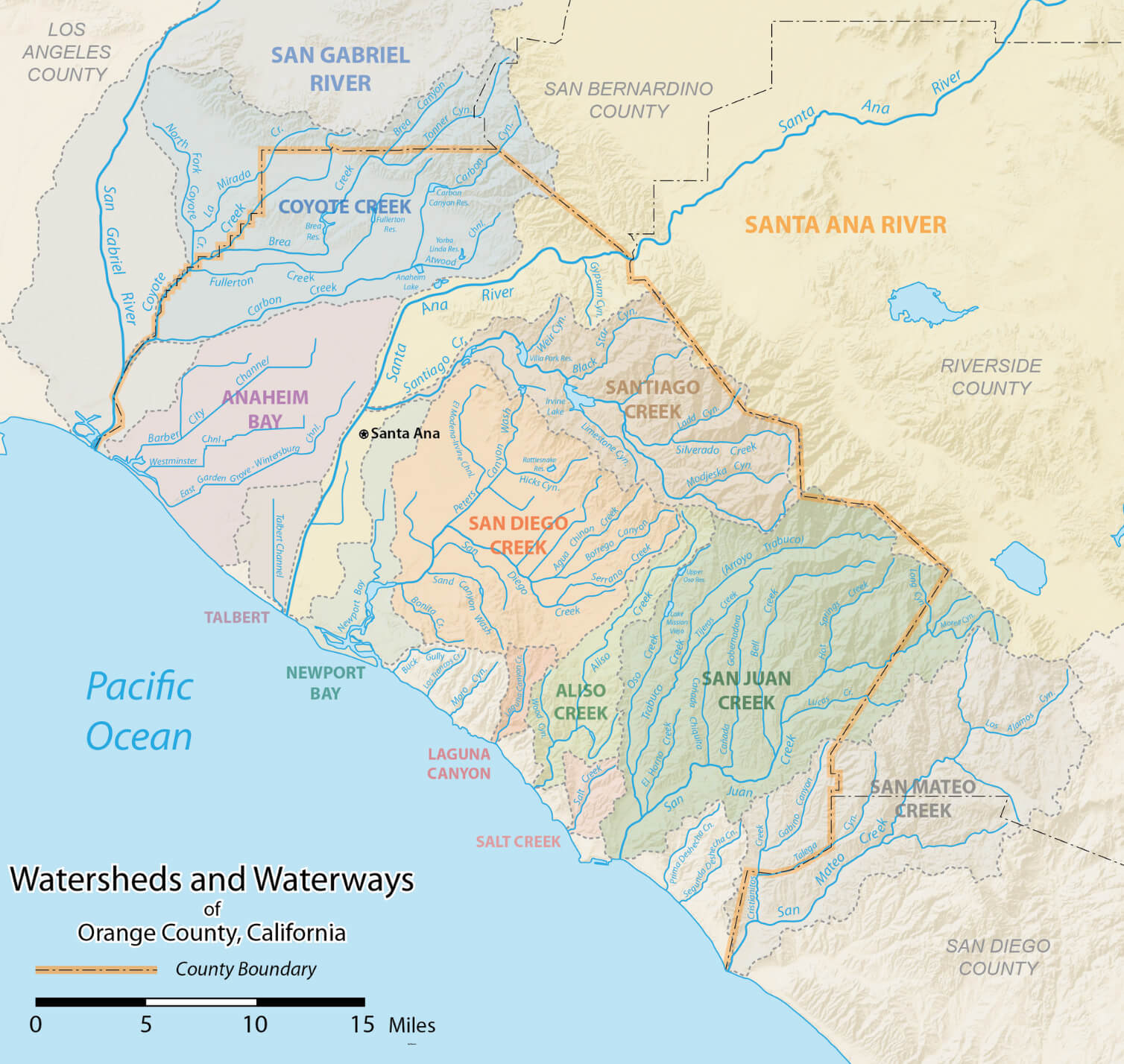
The Orange County watershed map California
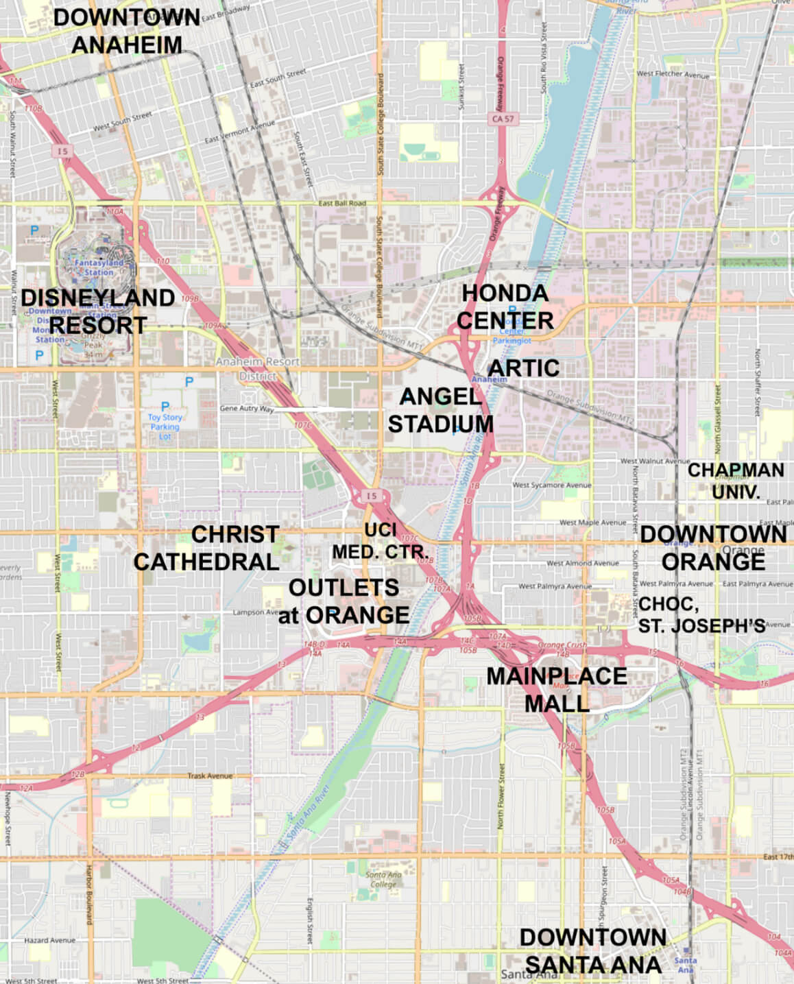
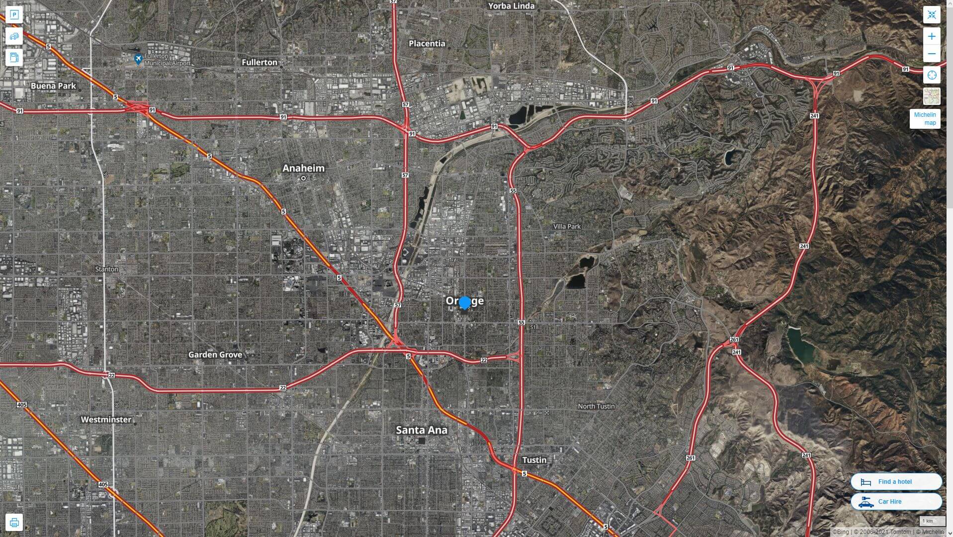
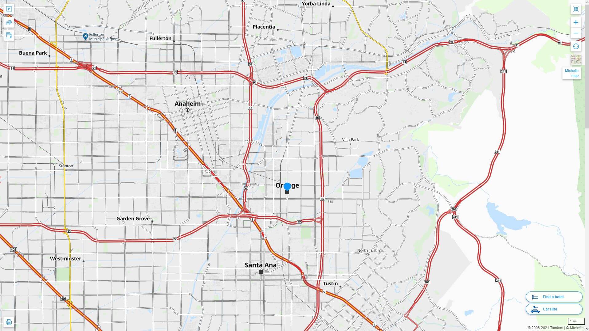
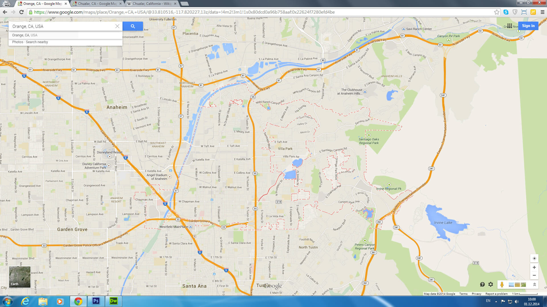
Orange County city center map
Orange County aerial view
Orange County, officially known as the County of Orange and commonly referred to as O.C., is located within the Los Angeles metropolitan area in Southern California, United States. According to the 2020 Census, the county had a population of 3,186,989, ranking it as the third-most populous county in California and the sixth-most populous in the United States—with a population larger than that of 19 U.S. states and Washington, D.C..
Cities map of Orange County Los Angeles
Orange County California highway and road map with satellite view
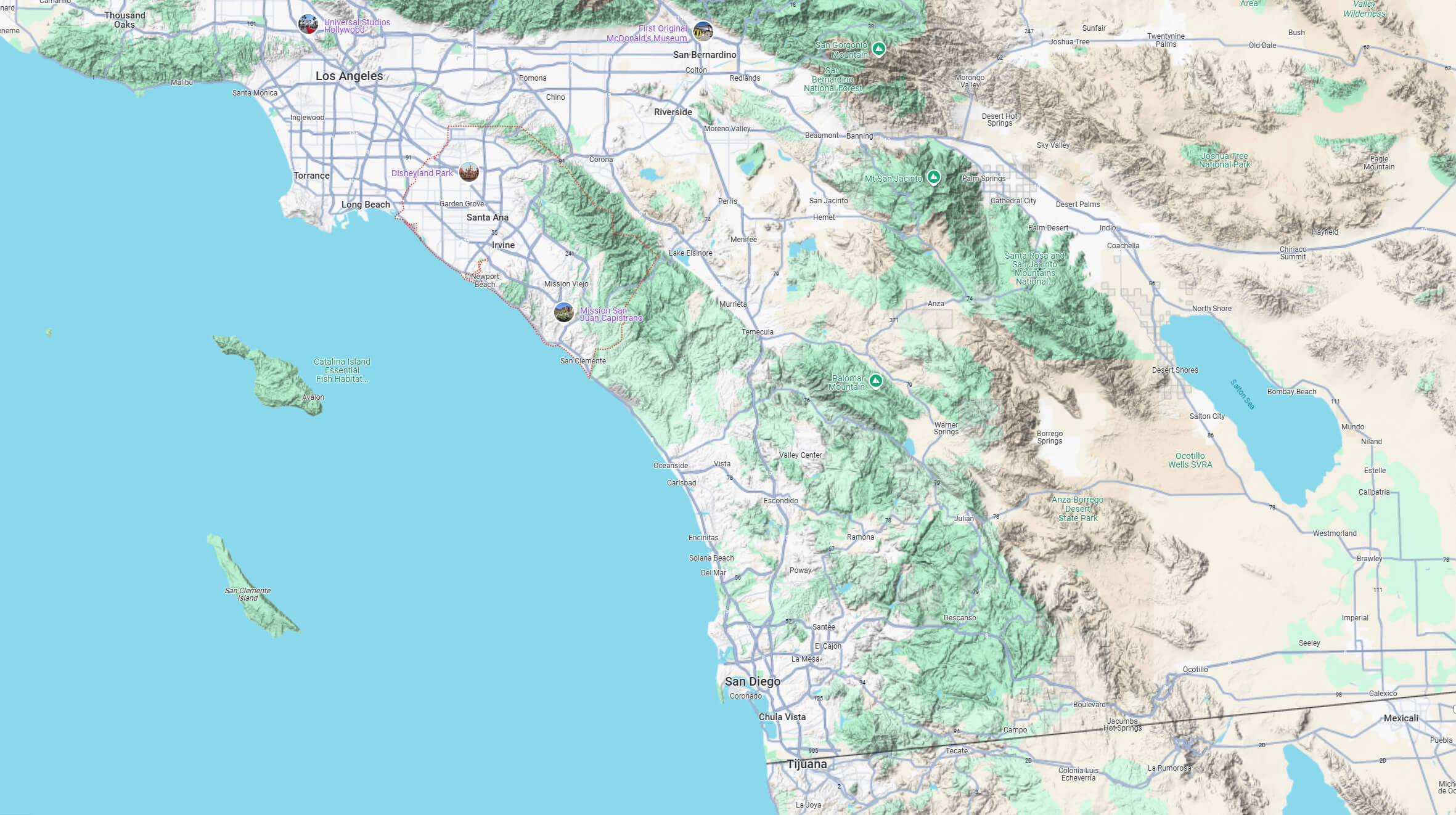
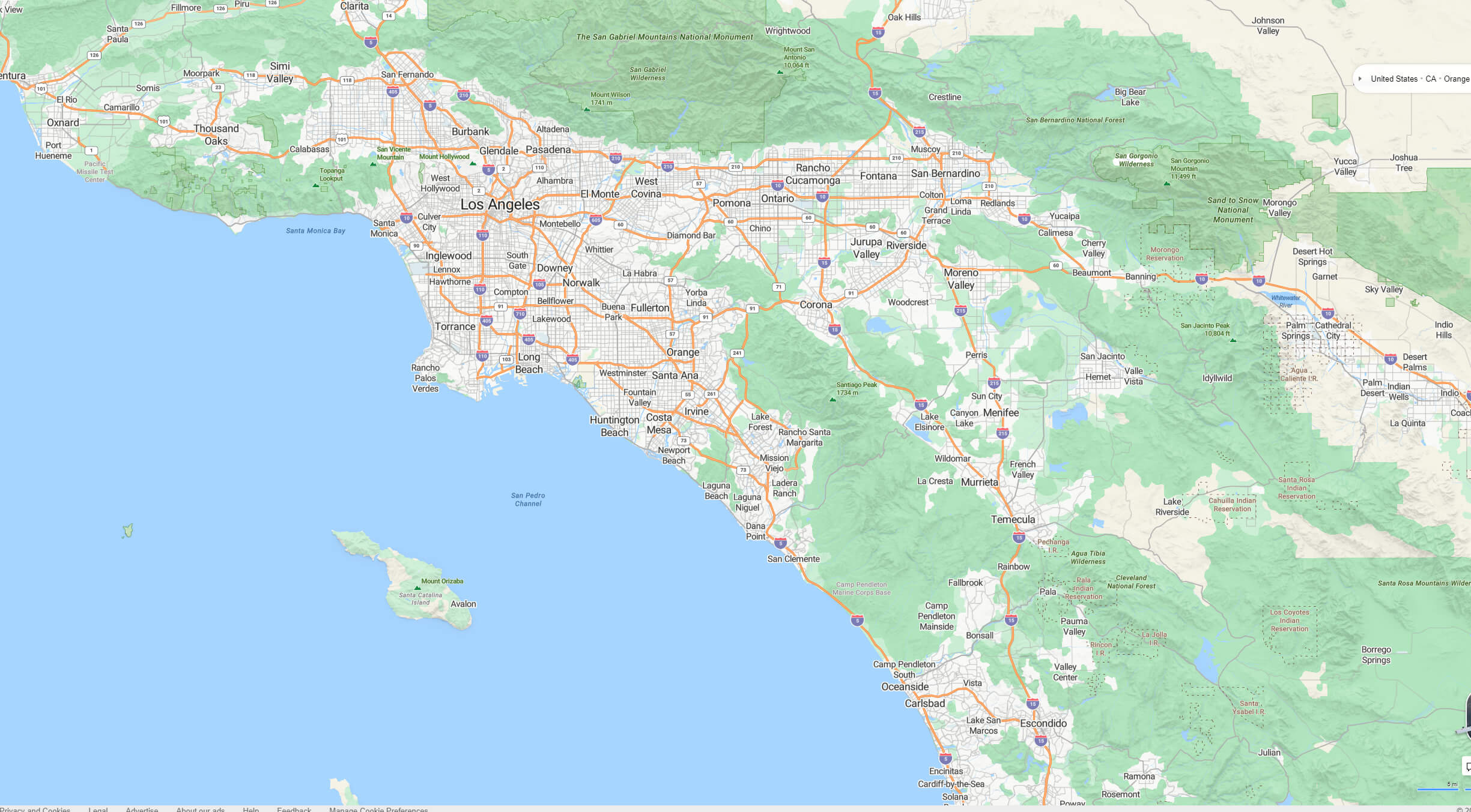
Orange County terrain map Los Angeles
Orange County California highway and road map
Orange County city map
Orange County historical population growth
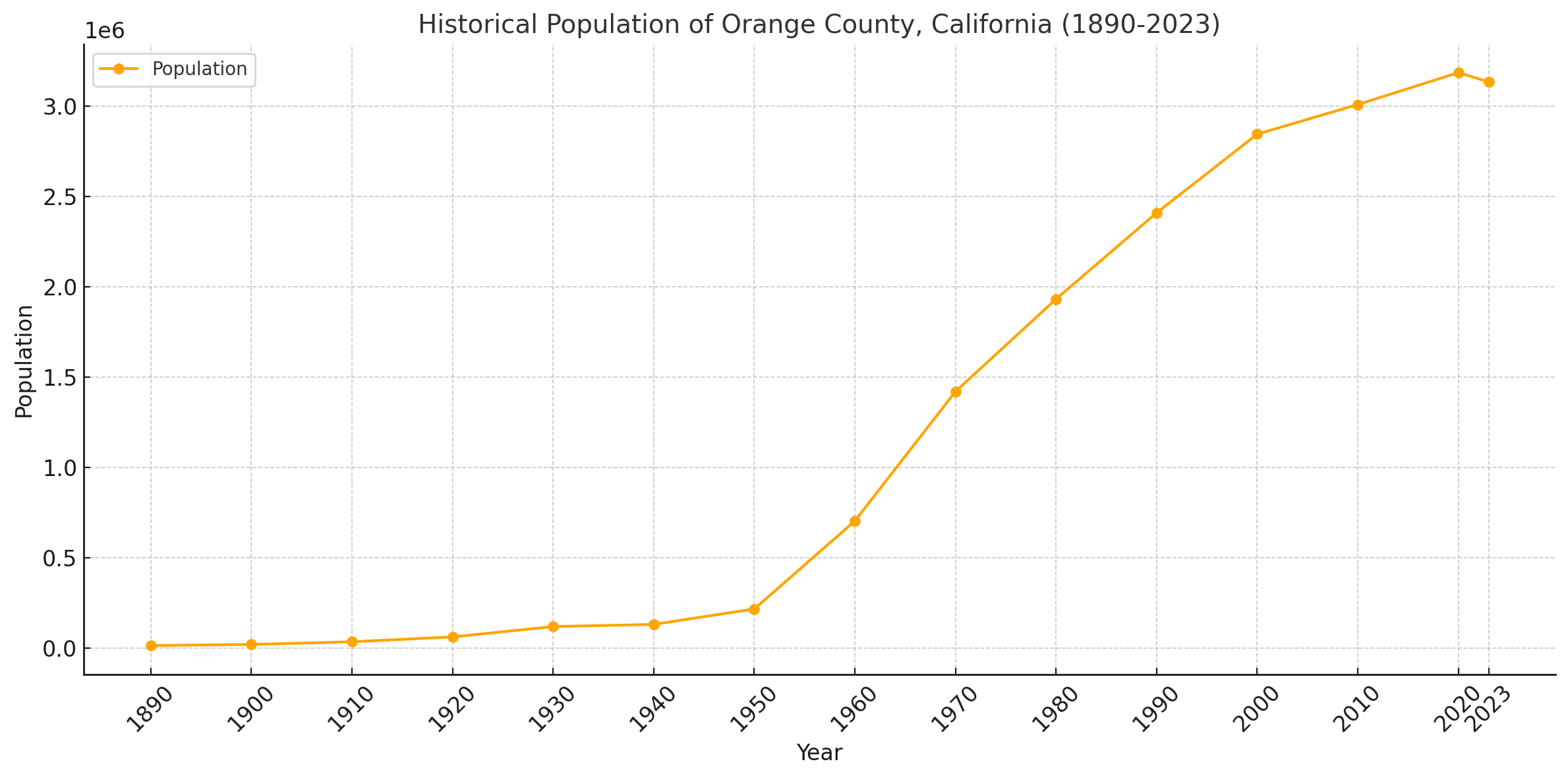
This line chart showing the historical population growth of Orange County, California from 1890 to 2023. The chart highlights significant expansion during the mid-20th century and consistent growth into the 21st century, with a slight decrease in recent years. Let me know if you need further analysis or any modifications.
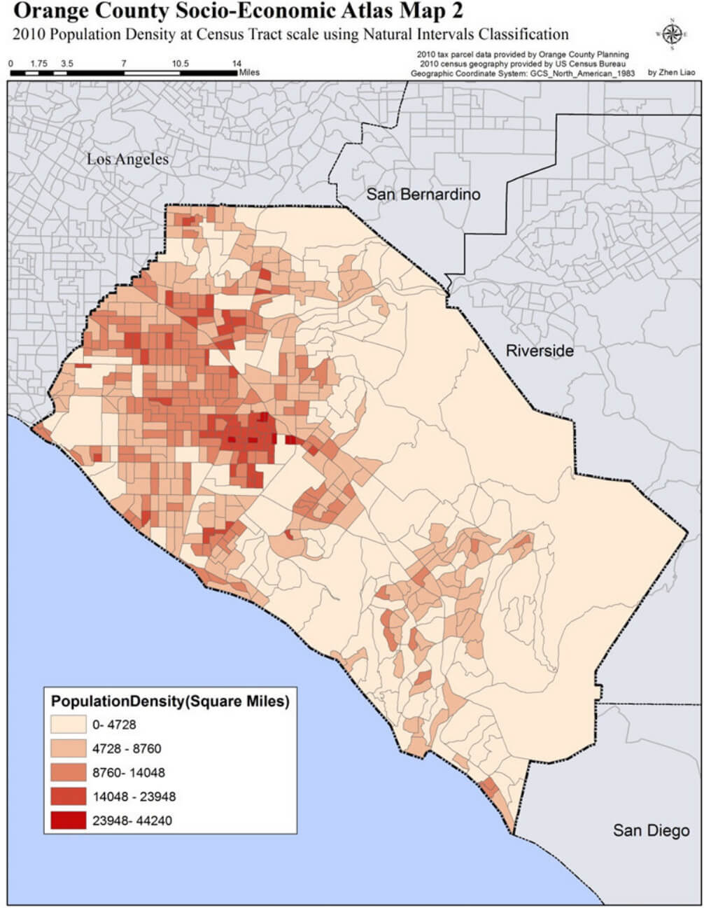
Orange County population density map California
Orange County Los Angeles map
Orange County map California us
Orange County map Los Angeles
Where is Orange County on California map
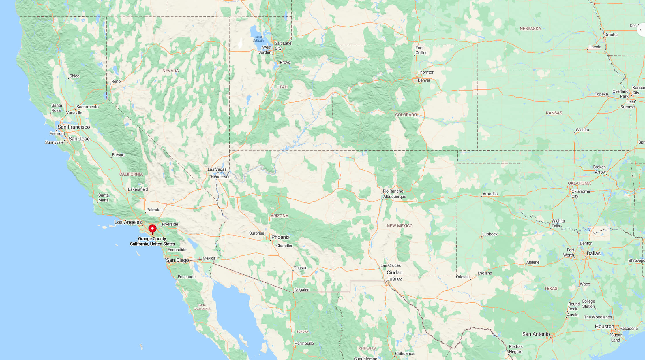
Where is Orange County on California Map?
Show Google interaactive map, satellite map, where is the country located.
Get directions by driving, walking, bicycling, public transportation and travel with street view.
Feel free to explore these pages as well:
- Los Angeles Map ↗️
- San Francisco Map ↗️
- San Diego Map ↗️
- Alameda Map ↗️
- Alhambra Map ↗️
- Anaheim Map ↗️
- Antelope Map in California ↗️
- Antioch Map in California ↗️
- Bakersfield Map in California ↗️
- Riverside Map in California ↗️
- California Map ↗️
- California County Map ↗️
- California Physical Map ↗️
- California Road Map ↗️
- California Population Map ↗️
- A Collection of California Maps ↗️
- United States Map ↗️
- North America Map ↗️