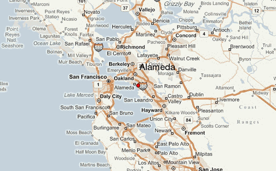
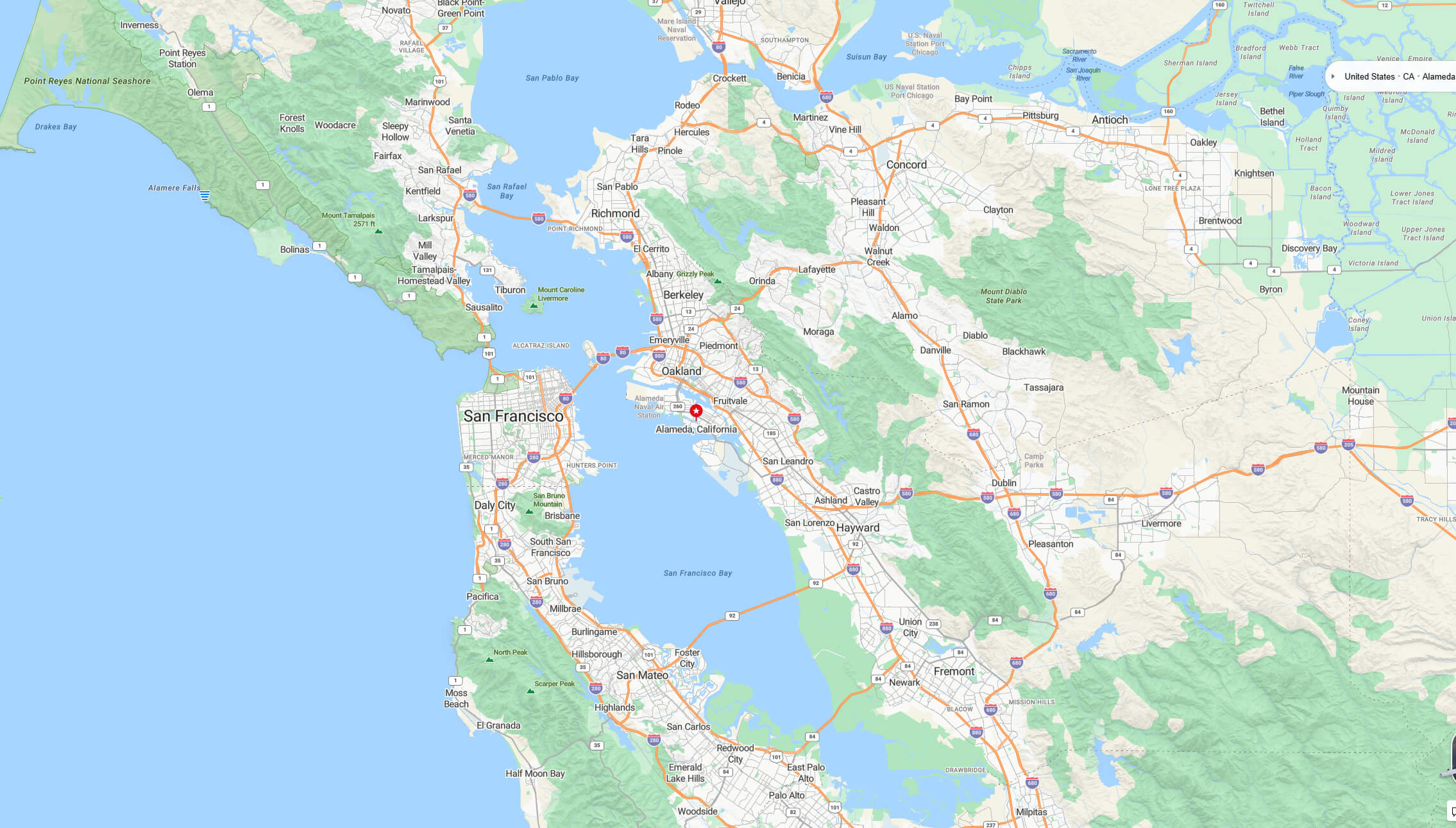
Discover Alameda’s location on the map of California and the United States. Located on an island in San Francisco Bay, just west of Oakland and opposite San Francisco, Alameda offers coastal charm with a mild Mediterranean climate and a vibrant community.
Alameda County Map California
Alameda: A Coastal Gem in California’s Bay Area
Twin towers United Methodist church in Alameda, California
 Twin towers United Methodist church. 1411 Oak Street. Alameda, California, USA.
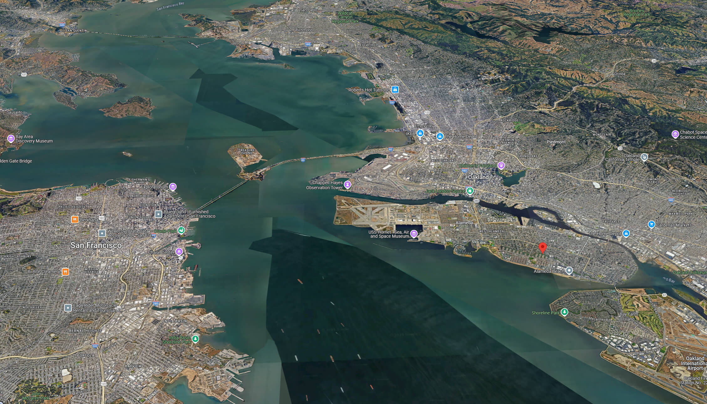
Nestled on an island in the heart of the San Francisco Bay, Alameda offers a unique blend of small-town charm and metropolitan accessibility. Located just west of Oakland and across the bay from San Francisco, Alameda enjoys a prime coastal position in Northern California. Covering an area of approximately 23 square miles (59.6 km²), including its picturesque waterfront, Alameda has grown from a quiet peninsula into a vibrant island city. As of 2023, the city has a population of around 75,353 residents, reflecting its stable and welcoming community. Alameda’s Mediterranean climate—characterized by mild, wet winters and warm, dry summers—creates the perfect setting for outdoor activities year-round. Gentle bay breezes keep the temperatures comfortable, making it an ideal location for sailing, cycling, and waterfront picnics.
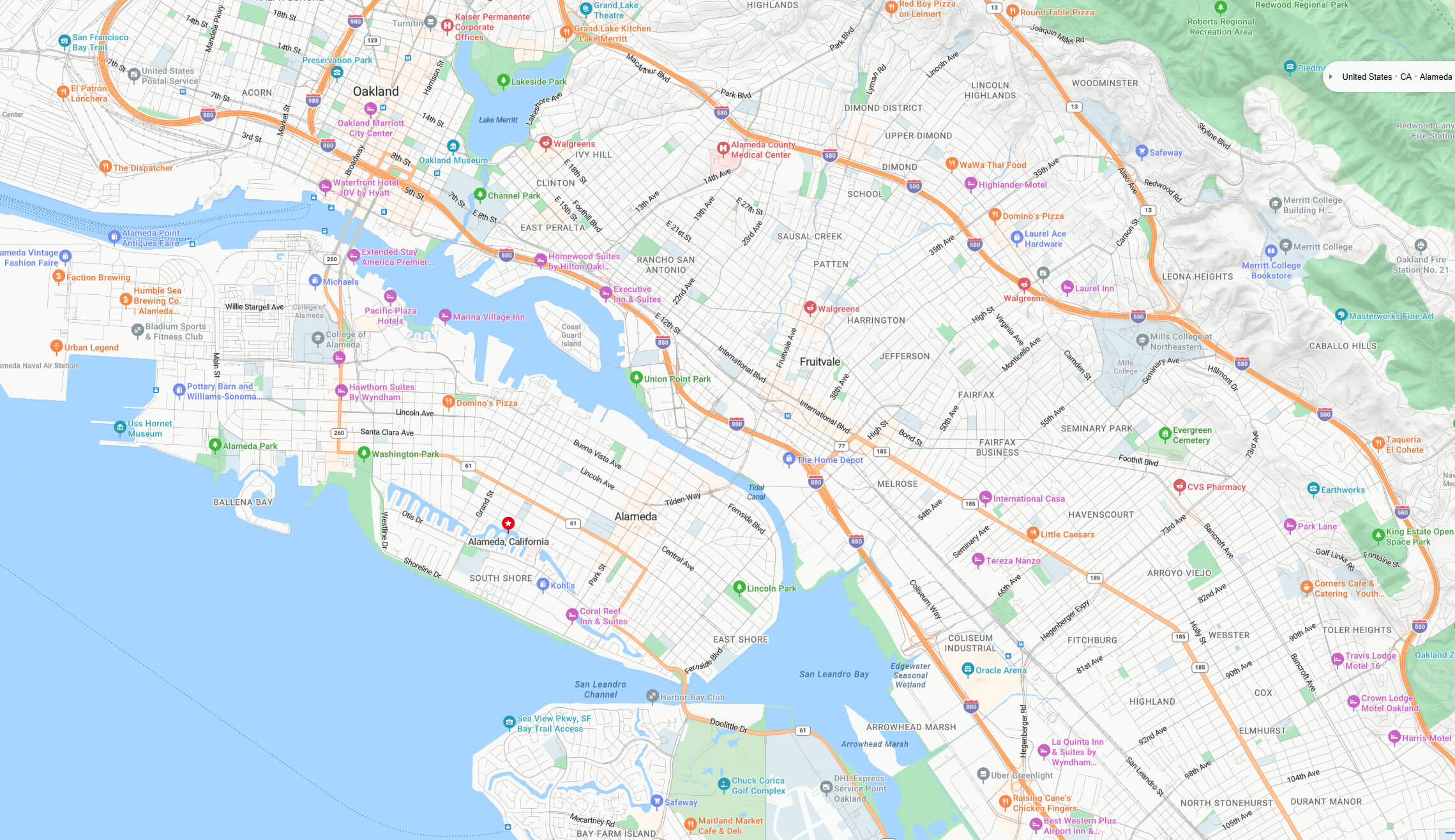
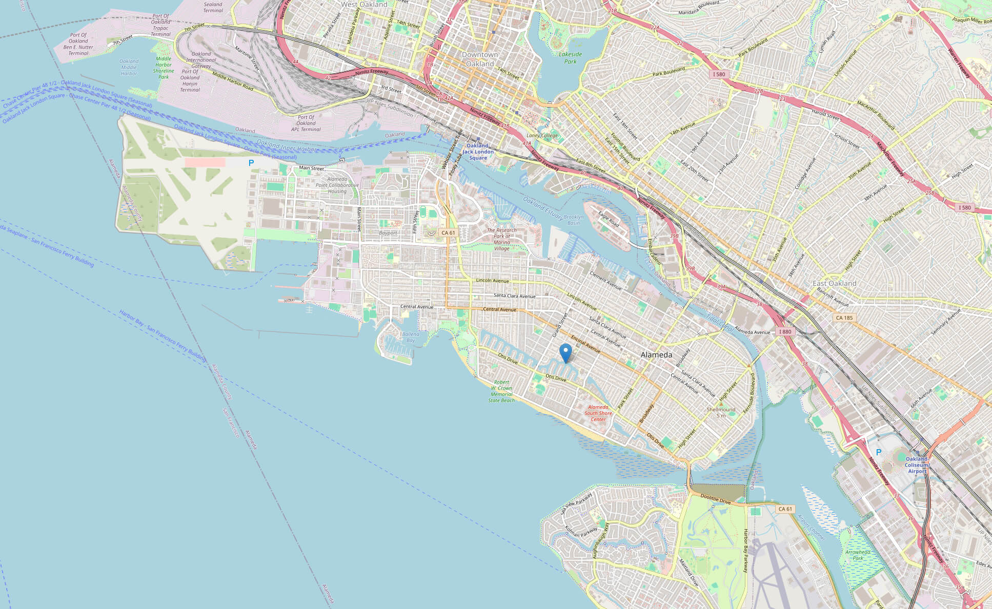
Alameda city center map
Alameda map CA
Historical Population Of Alameda, California (1860-2023)
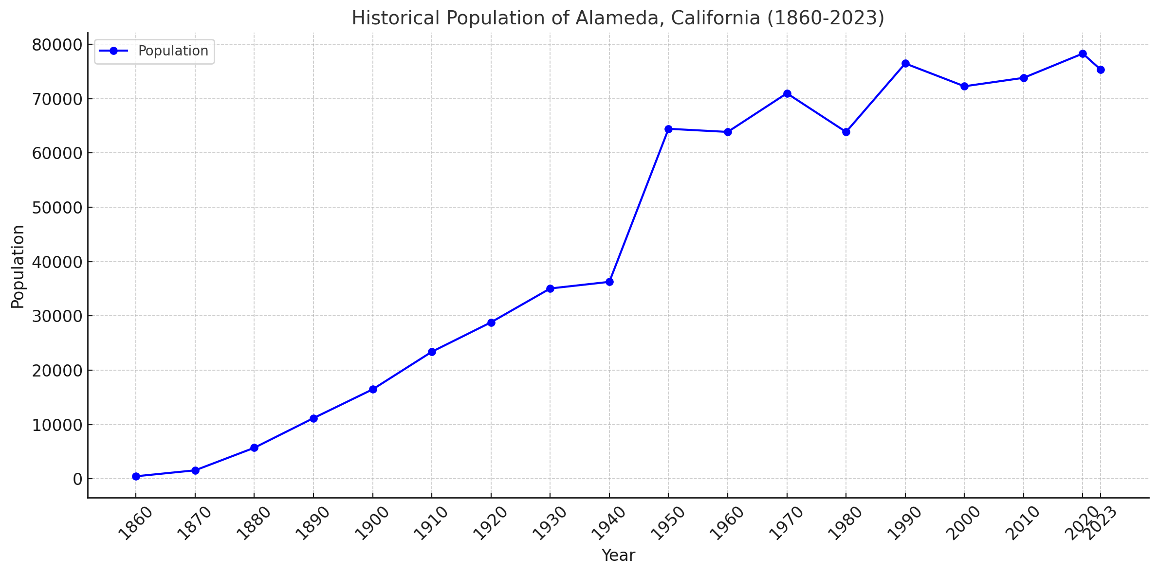 Historical Population Of Alameda, California in the US between 1860 and 2023.
This line graph showing historical population changes in Alameda, California from 1860 to 2023. The graph shows significant population growth in the early 20th century, a sharp increase around the 1950s, and fluctuations in recent decades. Let me know if you’d like any adjustments or further analysis.
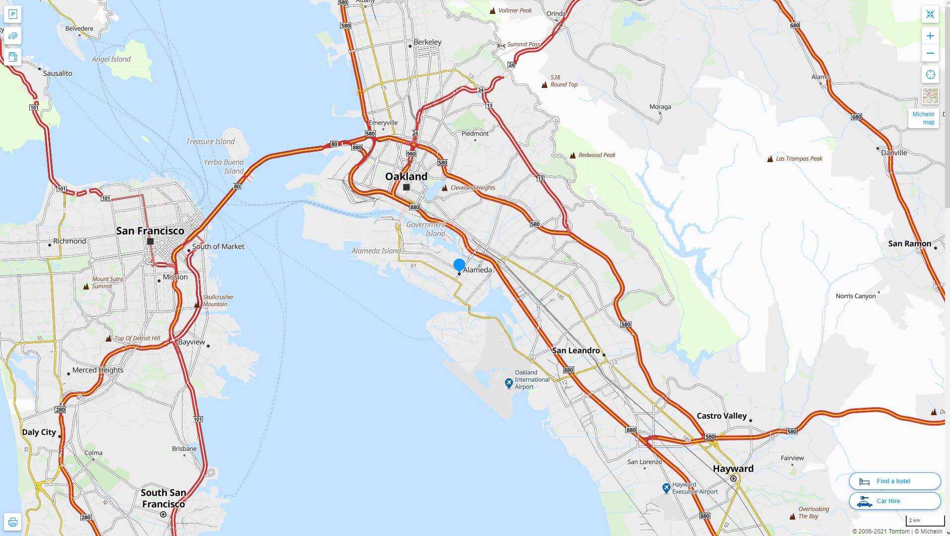
Alameda California highway and road map with satellite view
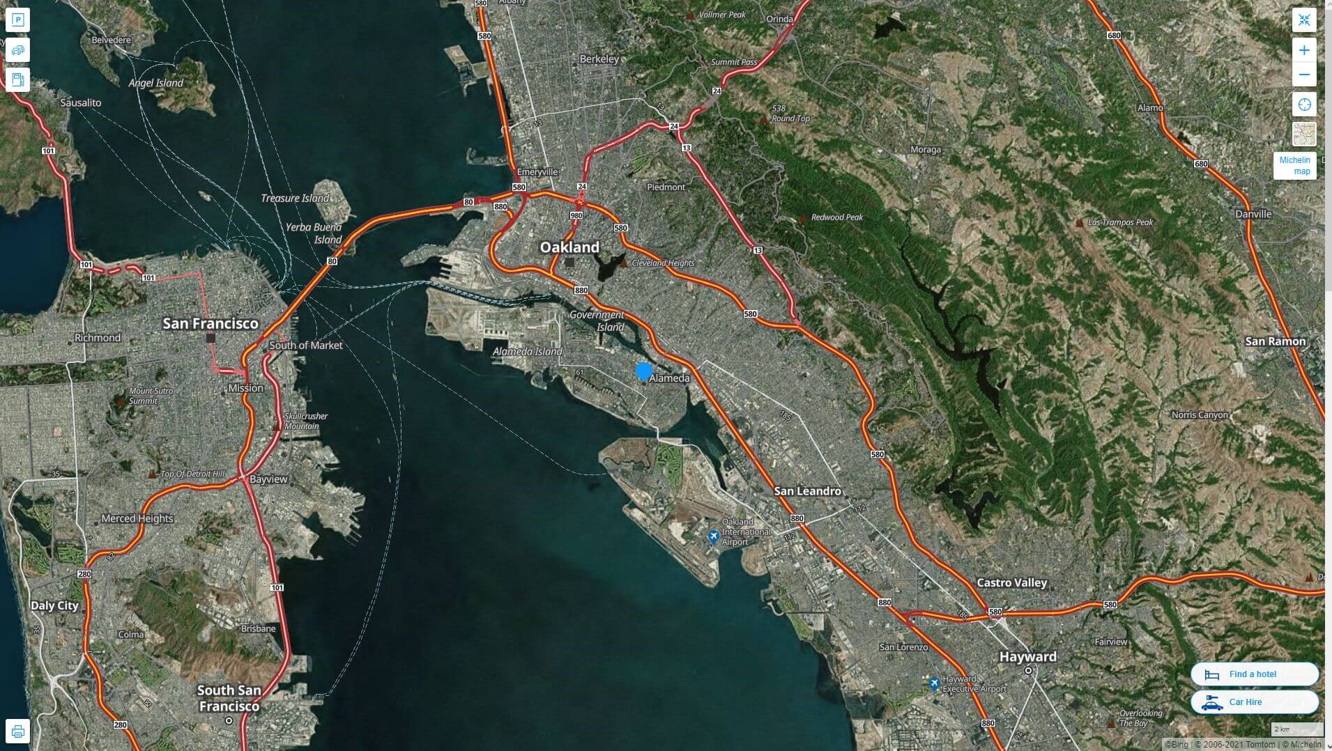
Alameda California highway and road map
Alameda California map USA
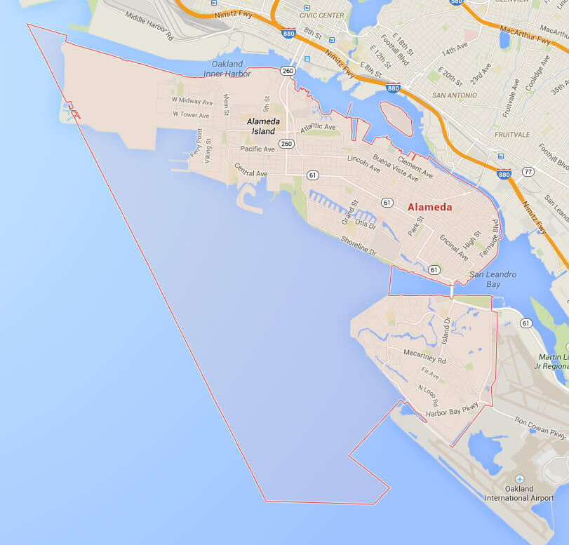
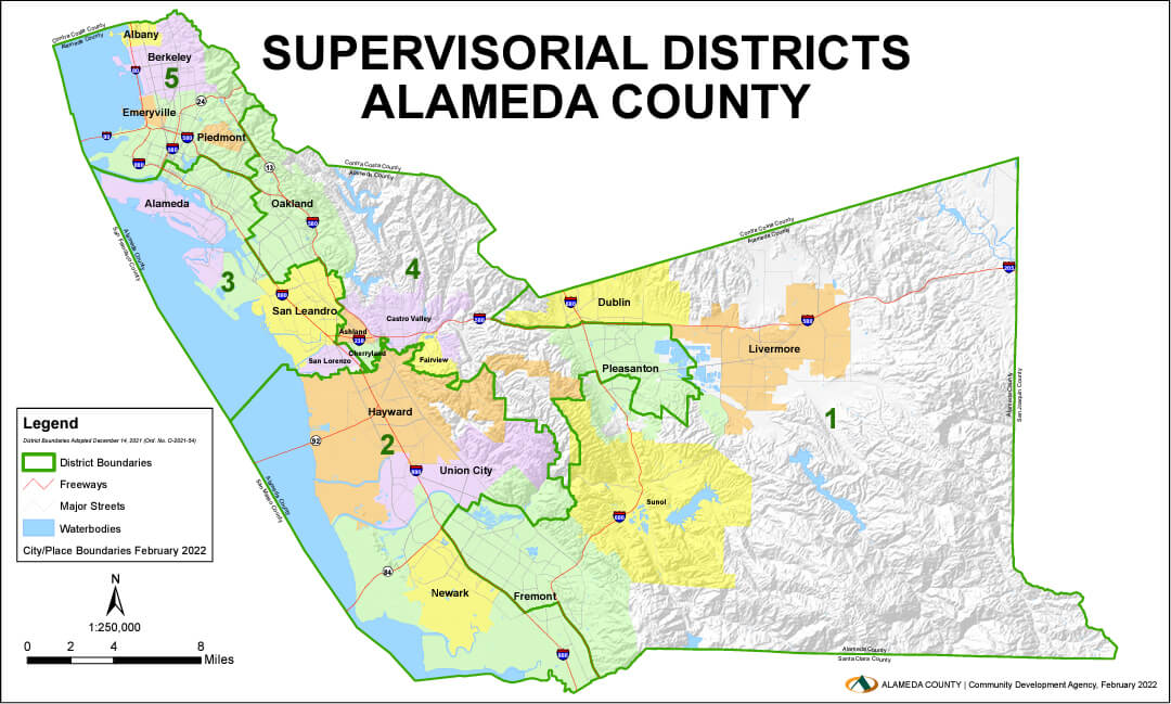
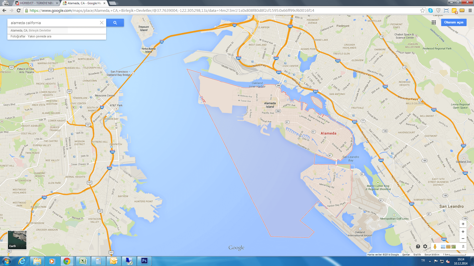
Alameda County Map CA
 Alameda County Map, California, United States.
Founded in the mid-19th century, Alameda’s history is deeply rooted in maritime trade and military presence, most notably with the former Naval Air Station Alameda, which played a crucial role during World War II. Today, remnants of its naval past blend with a thriving cultural scene, where historic Victorian homes sit alongside bustling farmers’ markets, local breweries and a vibrant arts community. The city is known for its family-friendly atmosphere, annual street fairs and the iconic Alameda Theatre, a restored Art Deco landmark. Alameda’s commitment to preserving its historic charm while embracing innovation makes it a hidden gem in California’s Bay Area, offering locals and visitors alike a peaceful coastal retreat with easy access to the energy of the larger metropolitan region.
Alameda street map CA
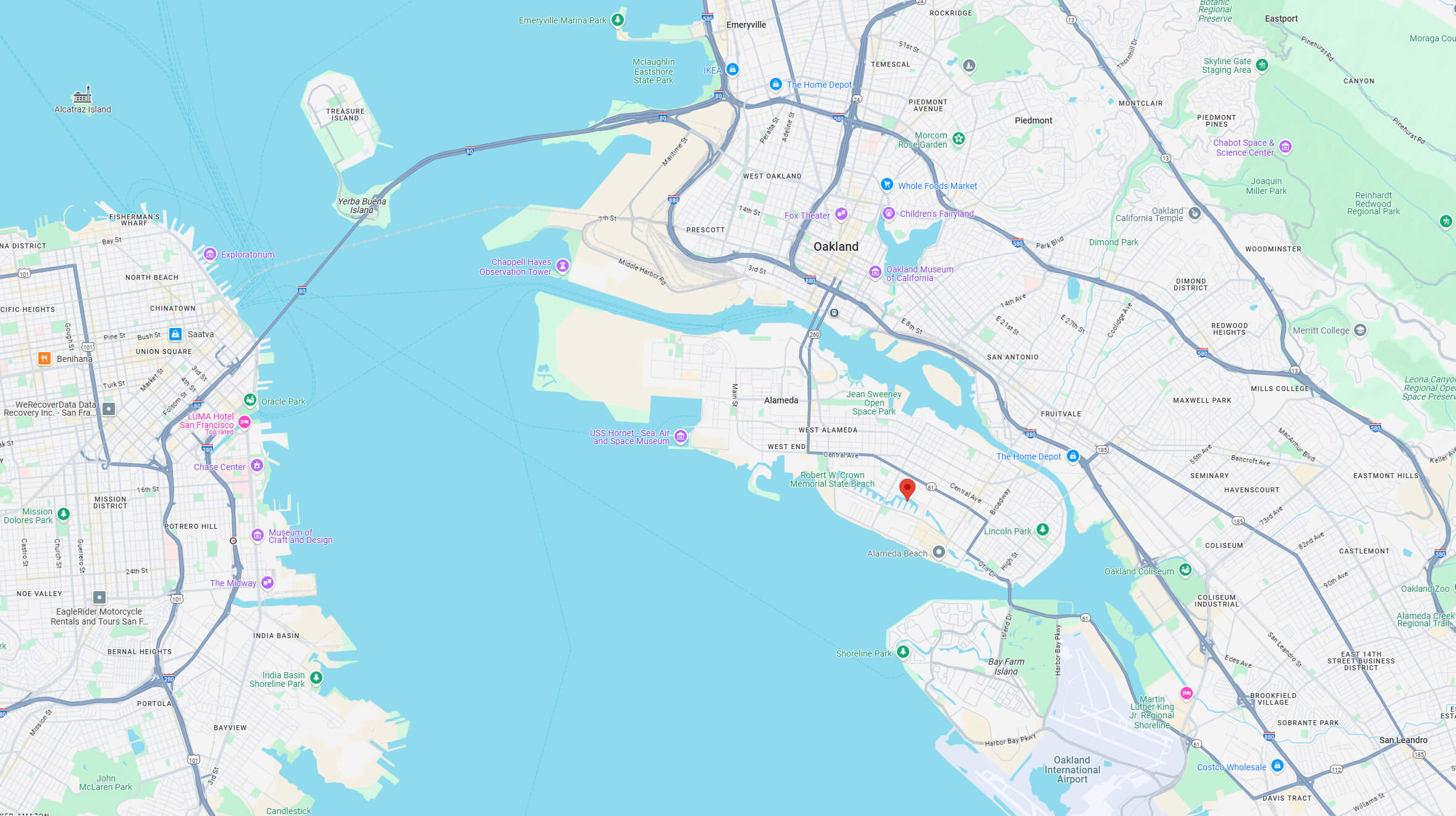
Alameda terrain map with San Francisco bay area
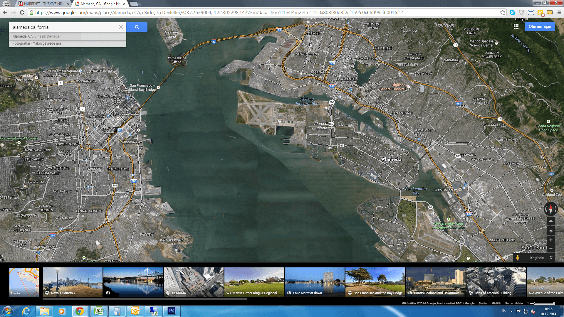
Alameda map California US satellite
Alameda map California US.png
Alameda map California
Alameda satellite map in California
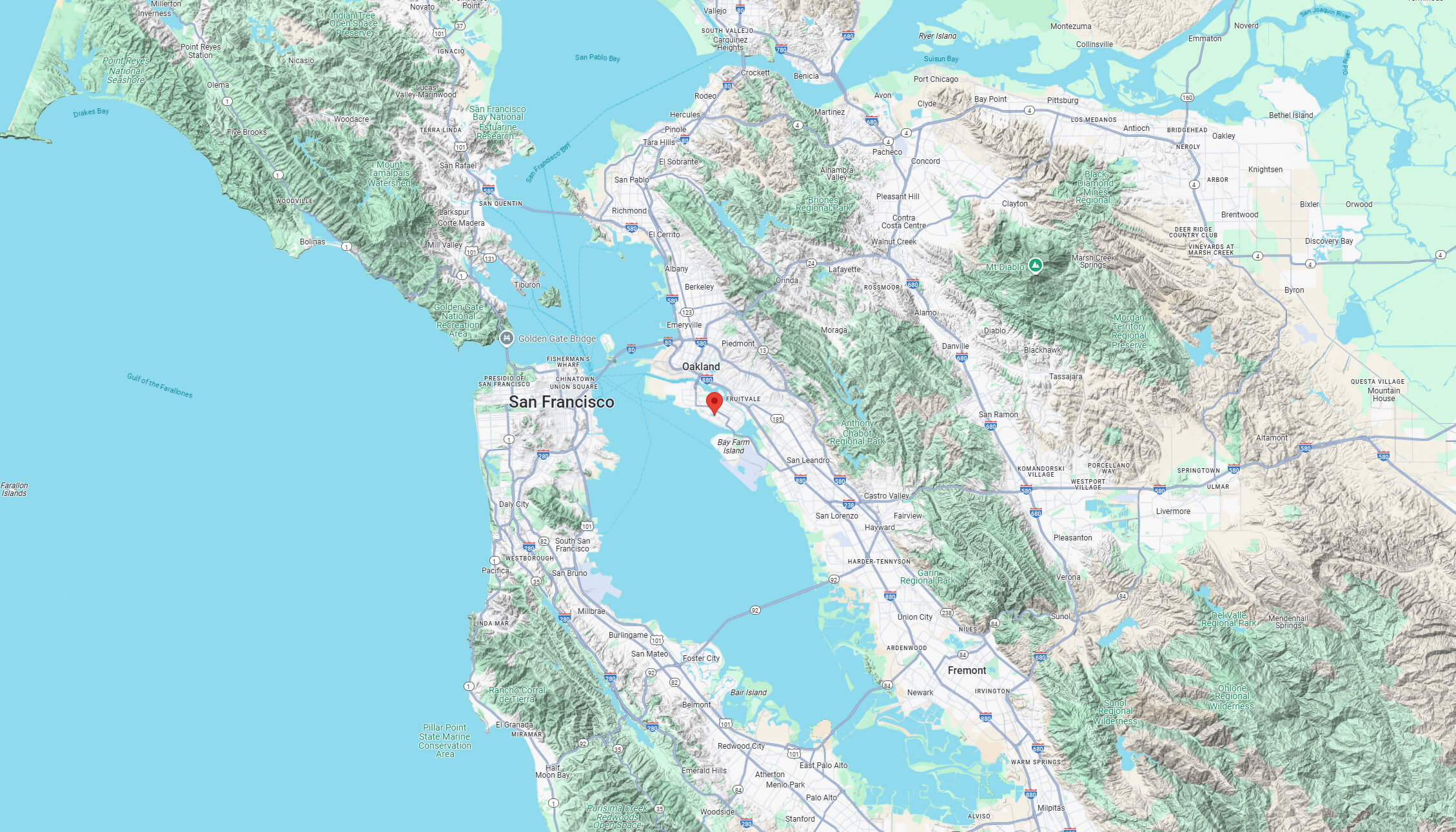
Where is Alameda on California Map?
Show Google interaactive map, satellite map, where is the country located.
Get directions by driving, walking, bicycling, public transportation and travel with street view.
Feel free to explore these pages as well:
- Los Angeles Map ↗️
- San Francisco Map ↗️
- San Diego Map ↗️
- Alhambra Map ↗️
- Anaheim Map ↗️
- Antelope Map ↗️
- Antioch Map in California ↗️
- Bakersfield Map in California ↗️
- Orange County Map in California ↗️
- Riverside Map in California ↗️
- California Map ↗️
- California County Map ↗️
- California Physical Map ↗️
- California Road Map ↗️
- California Population Map ↗️
- A Collection of California Maps ↗️
- United States Map ↗️
- North America Map ↗️