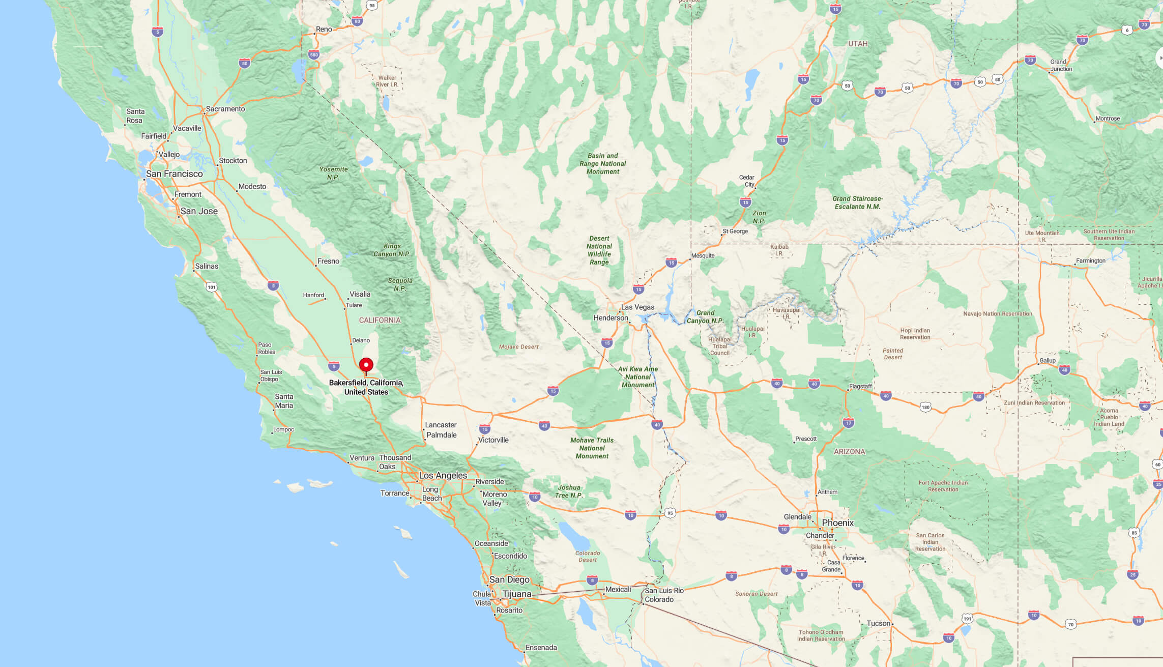
Explore the geographic location of Bakersfield on city and terrain maps, and discover its position within California and the United States. Located in Kern County, Central California, Bakersfield is in the southern part of the San Joaquin Valley, known for its rich agricultural lands, oil production and warm Mediterranean climate.
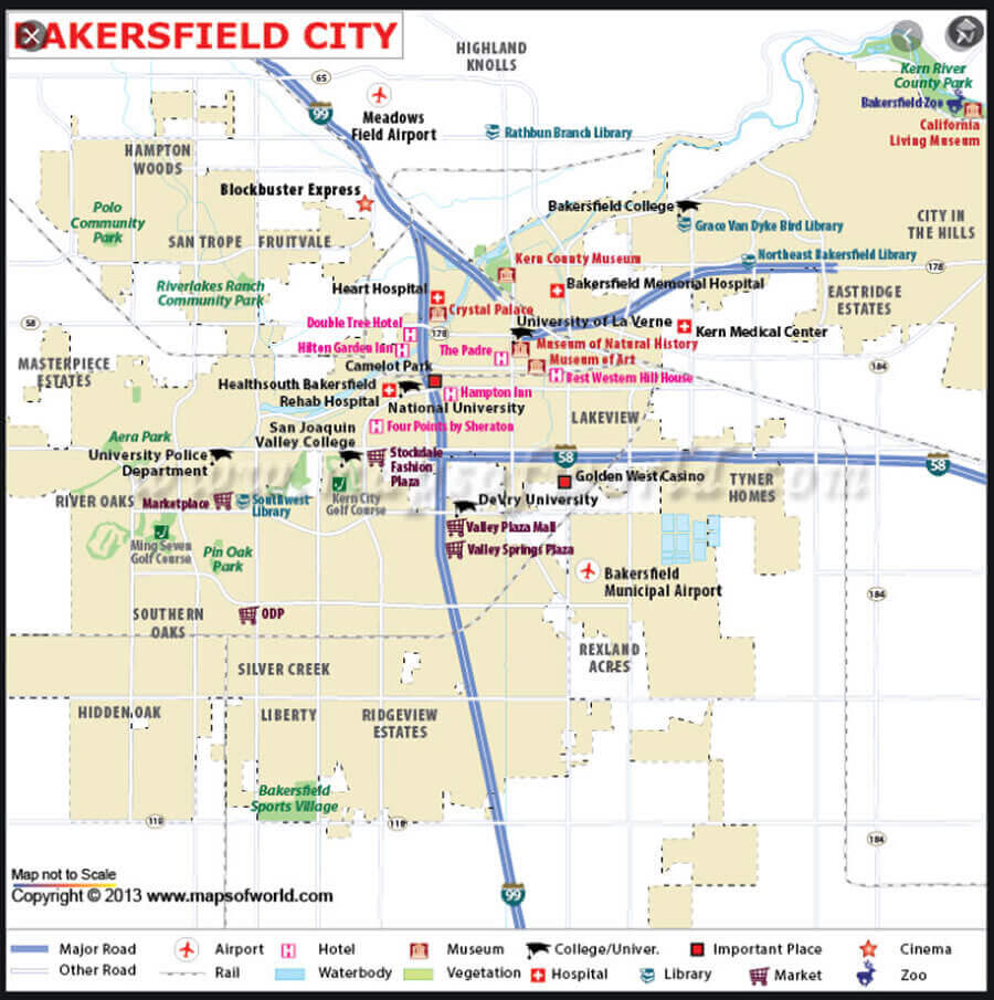
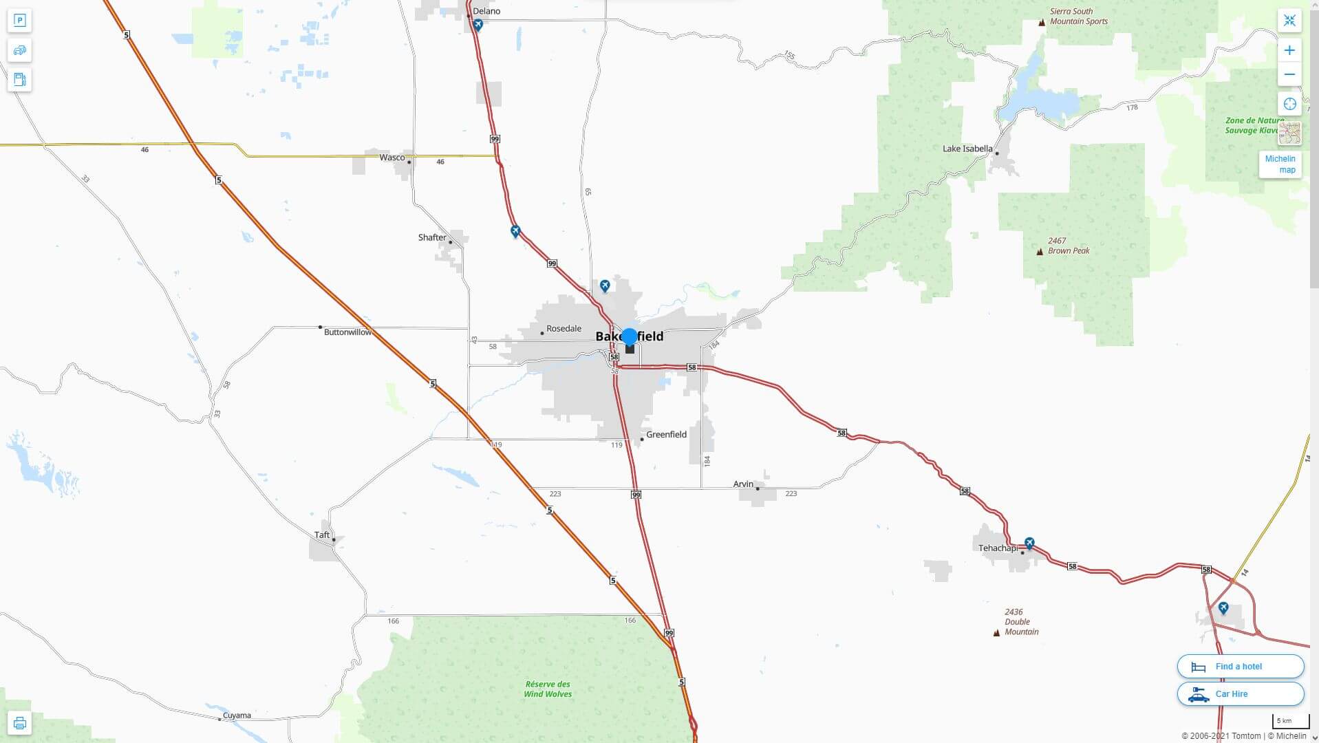
Bakersfield City Map California
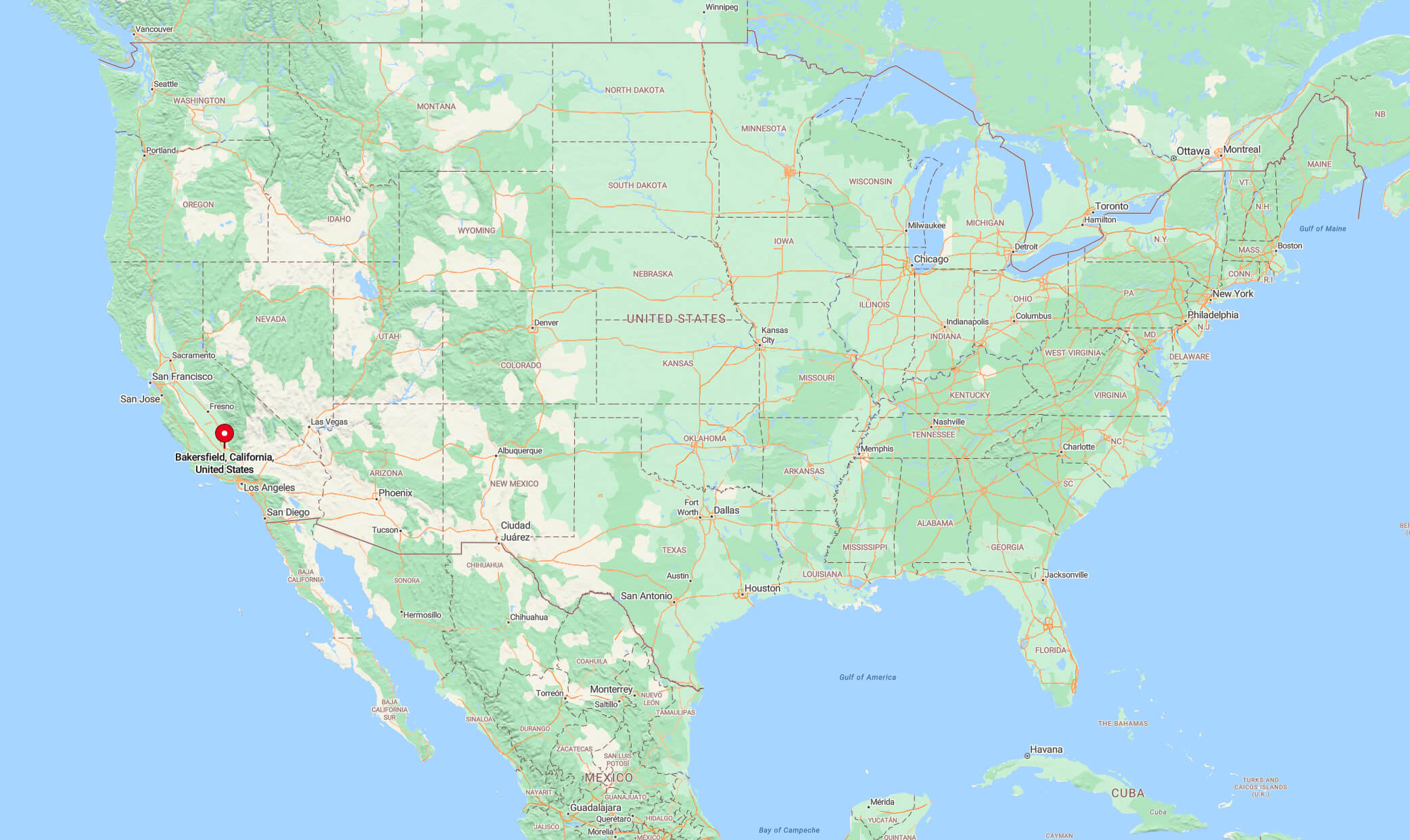
Where is Bakersfield on California map
Geography
Bakersfield lies near the southern end of the San Joaquin Valley, with the southern edge of the Sierra Nevada just to the east. The city’s boundaries extend into the Sequoia National Forest to the base of the Greenhorn Mountain Range and the entrance to Kern Canyon. To the south, the towering Tehachapi Mountains, which rise more than a mile vertically, are home to the historic Tejon Ranch. To the west is the Temblor Range, which stretches some 35 miles (56 km) across the valley floor, beyond which are the Carrizo Plain National Monument and the San Andreas Fault.
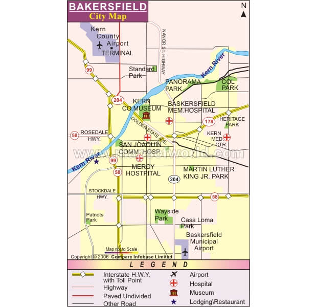
Bakersfield city map CA
Bakersfield map California United States
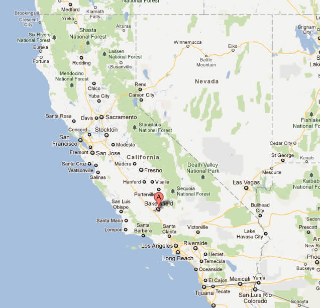
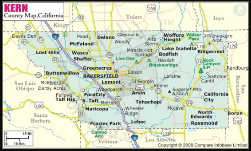
Kern county map in Bakersfield
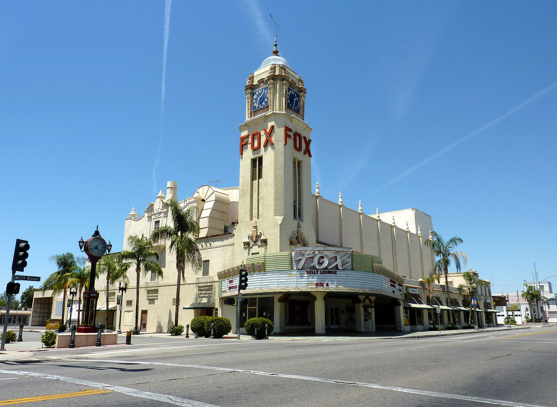
The fox theater Bakersfield
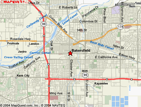
Bakersfield, located in Kern County, California, serves as the county seat and covers approximately 151 square miles (390 km²) near the southern end of the San Joaquin Valley within California’s Central Valley region. As of the 2020 census, Bakersfield had a population of 403,455, making it the 47th most populous city in the United States and the 9th largest city in California.
Bakersfield avenue map
Bakersfield historical population growth
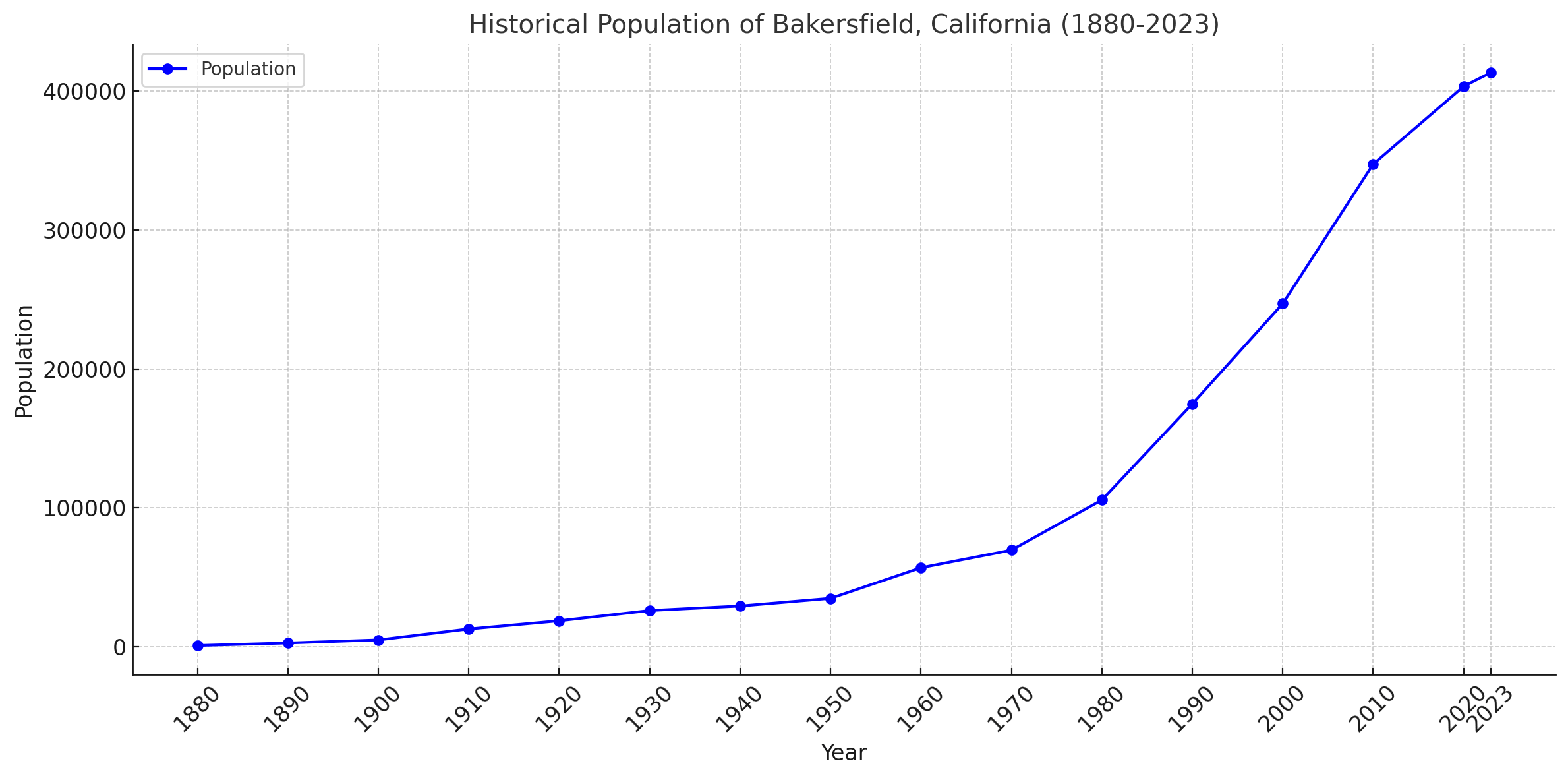
This line chart showing the historical population growth of Bakersfield, California from 1880 to 2023. The chart highlights significant population booms, especially during the mid-to-late 20th century, reflecting Bakersfield’s rapid urban expansion and economic development. Let me know if you’d like any further insights or adjustments.
Bakersfield California highway and road map with satellite view
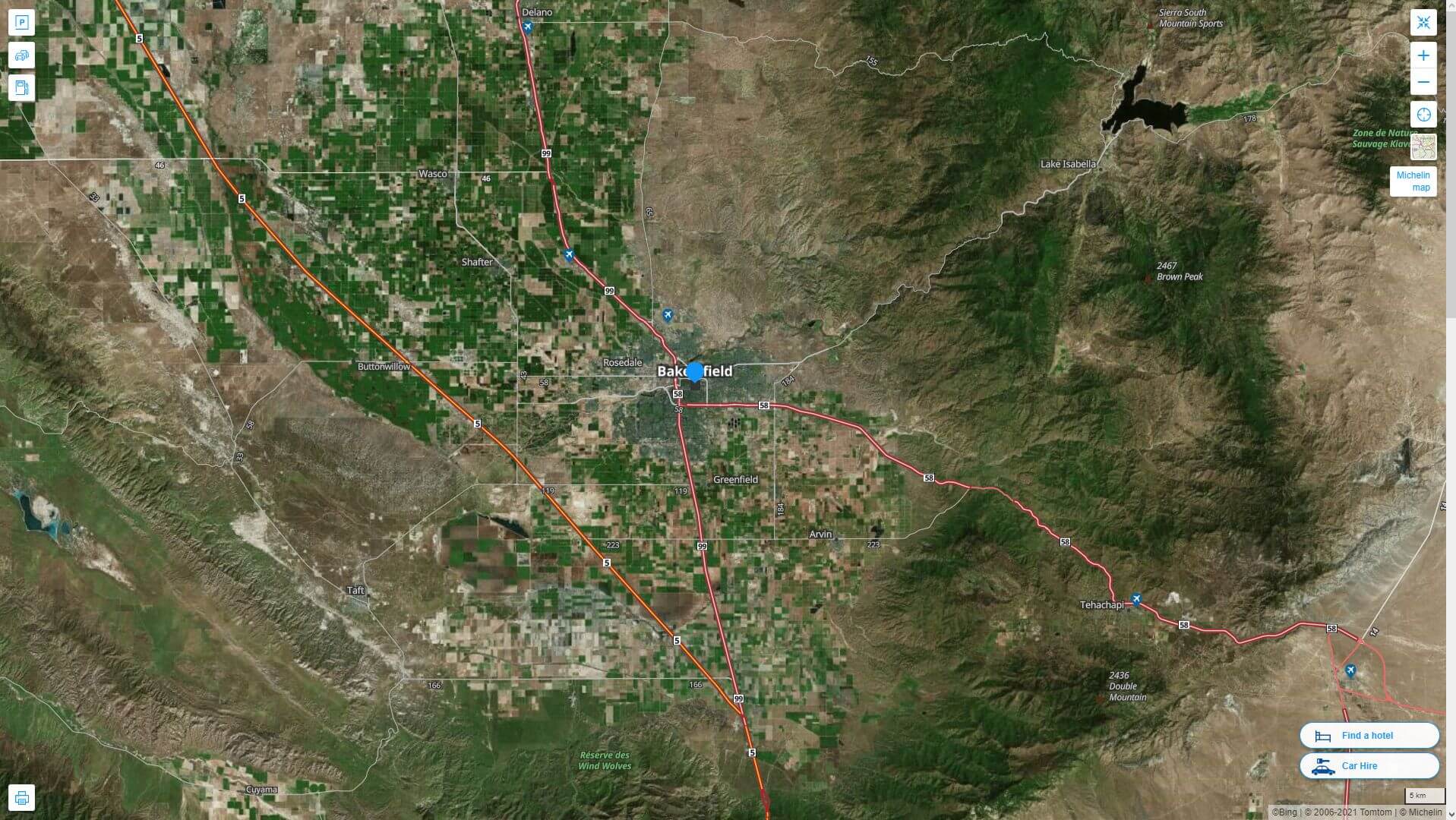
Bakersfield California highway and road map
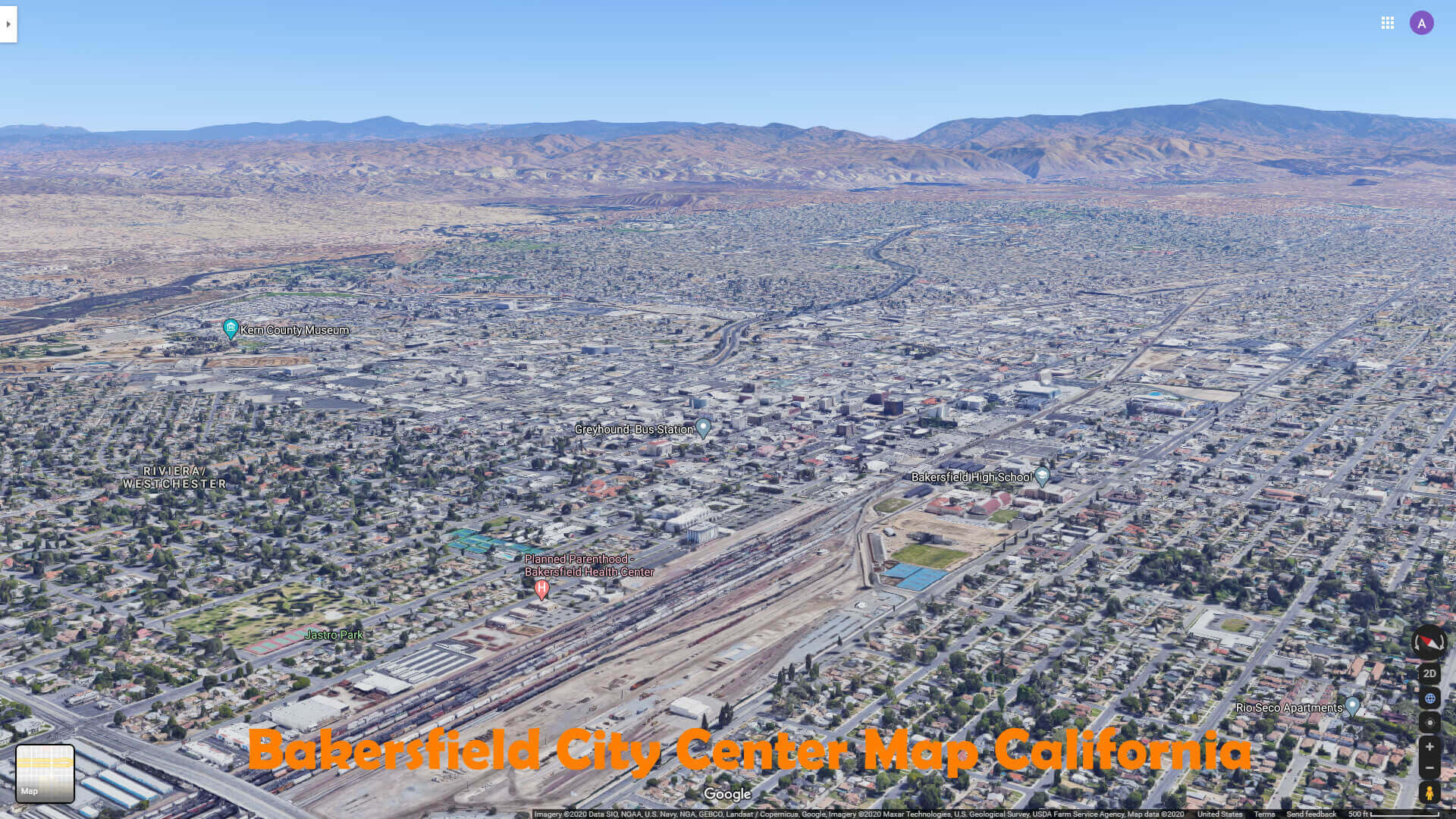
Bakersfield city center map California
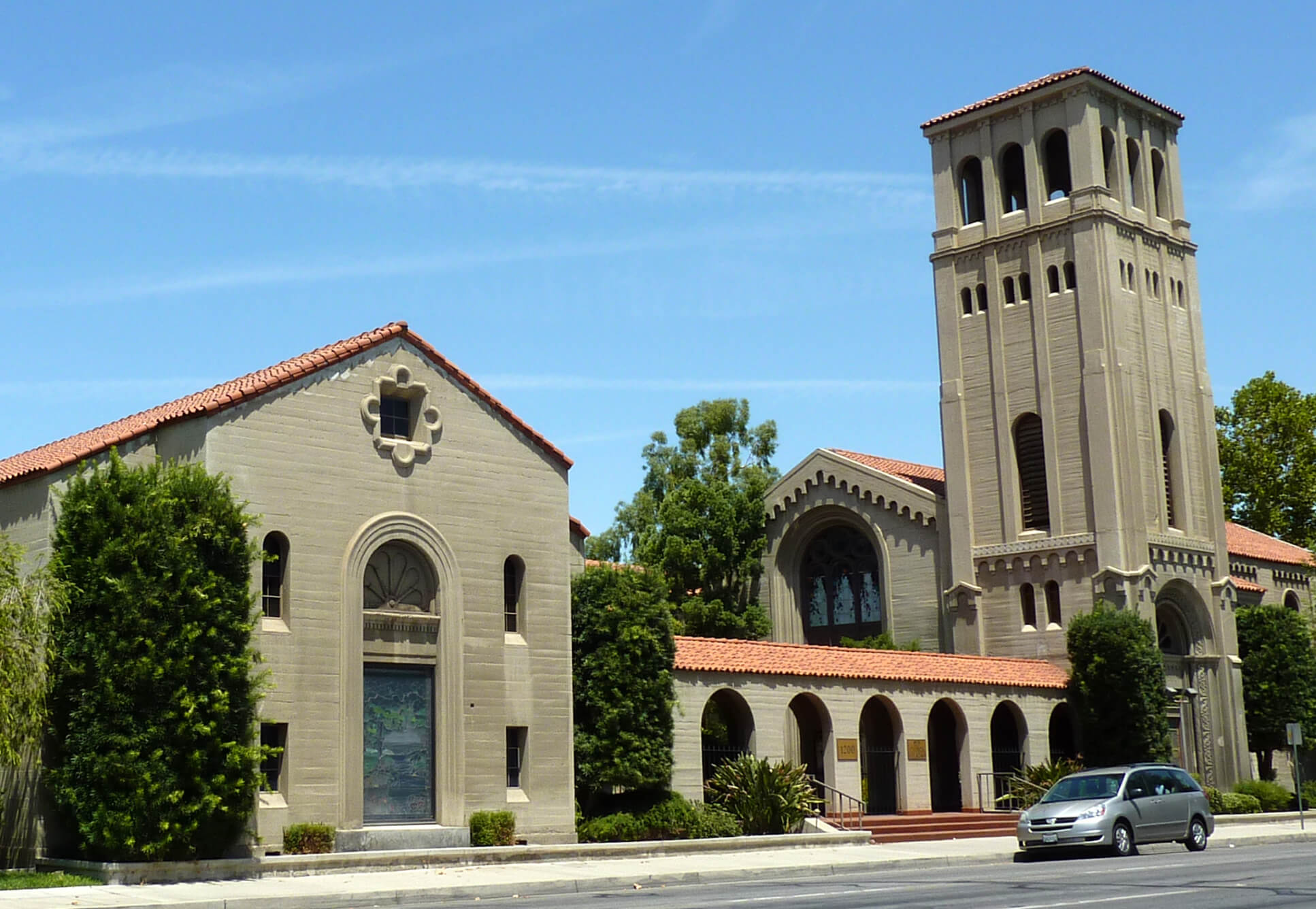
First baptist church Bakersfield CA
Bakersfield city map
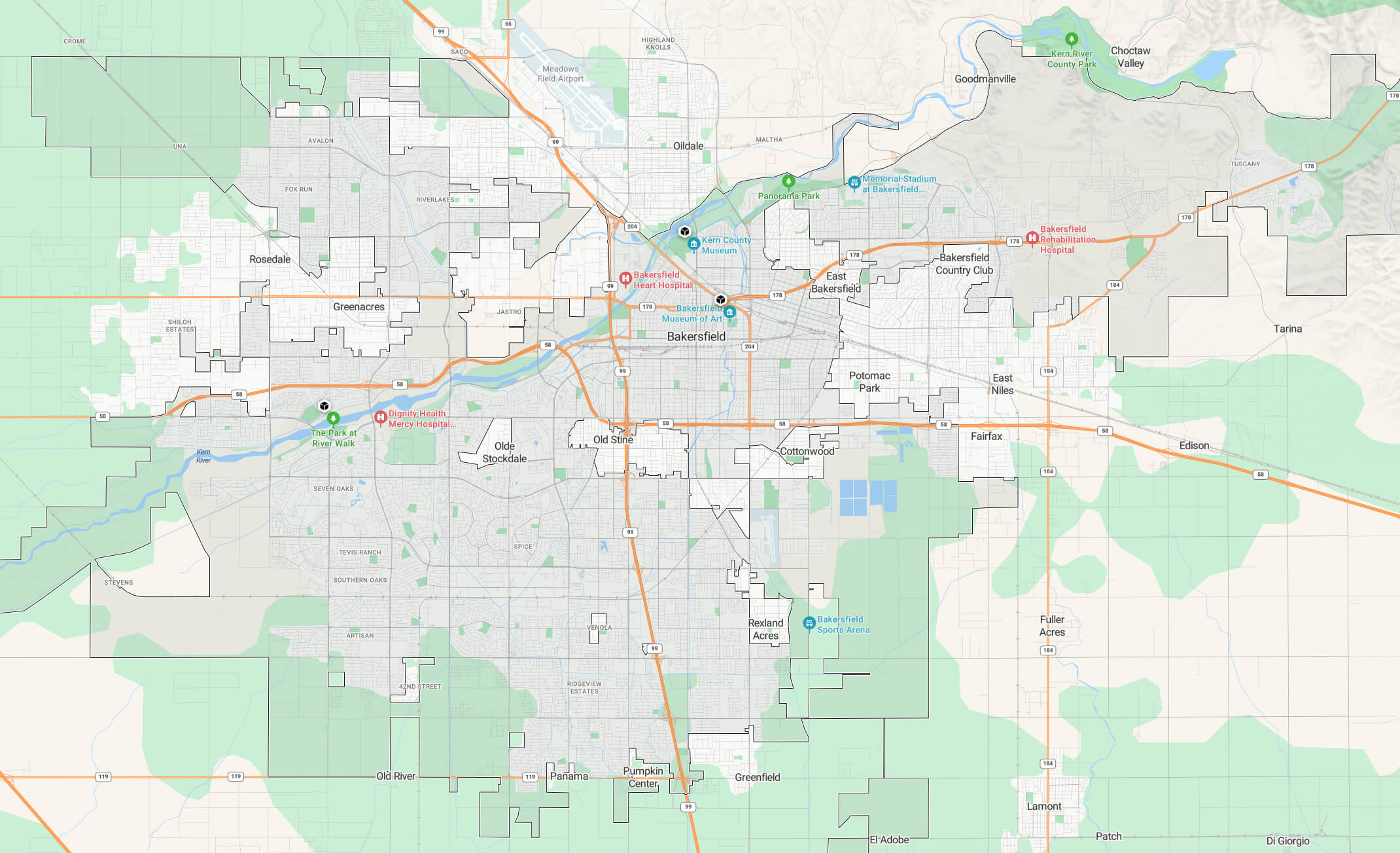
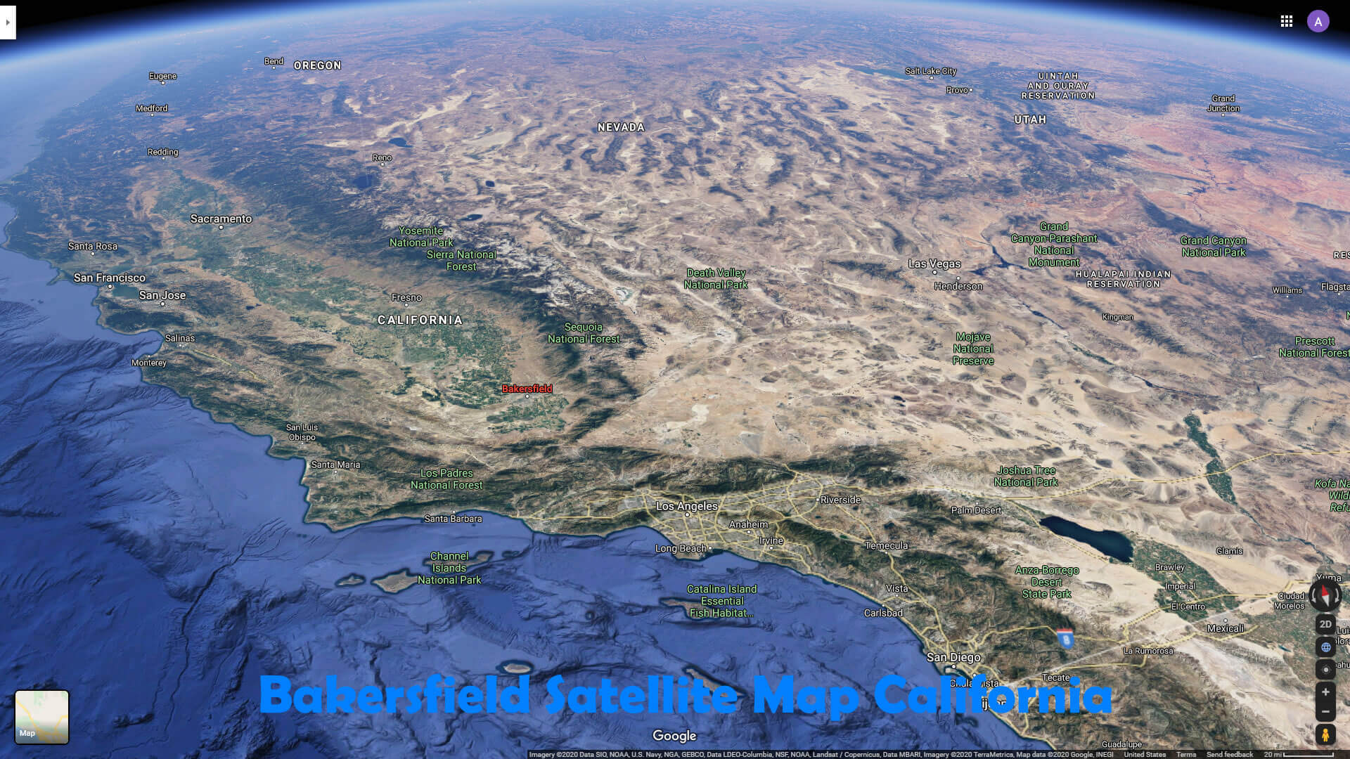
Bakersfield city satellite map California
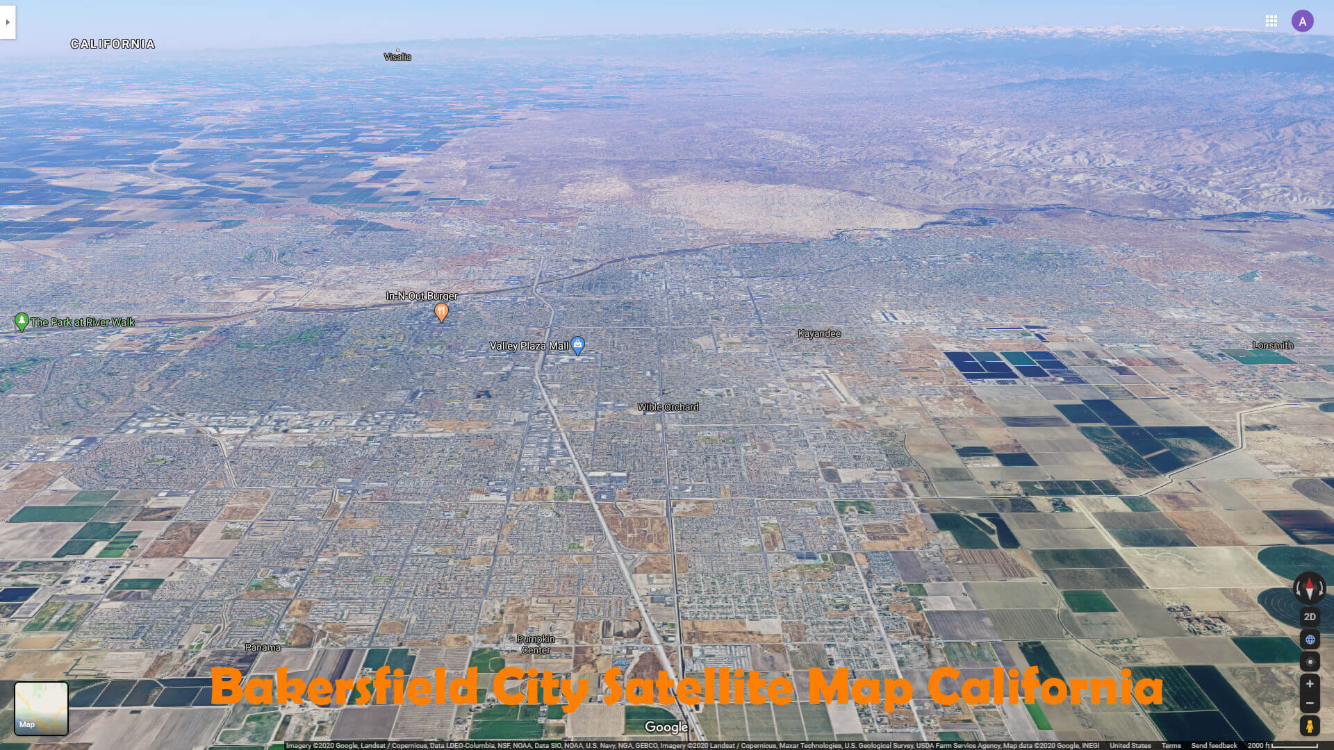
Where is Bakersfield on the US map
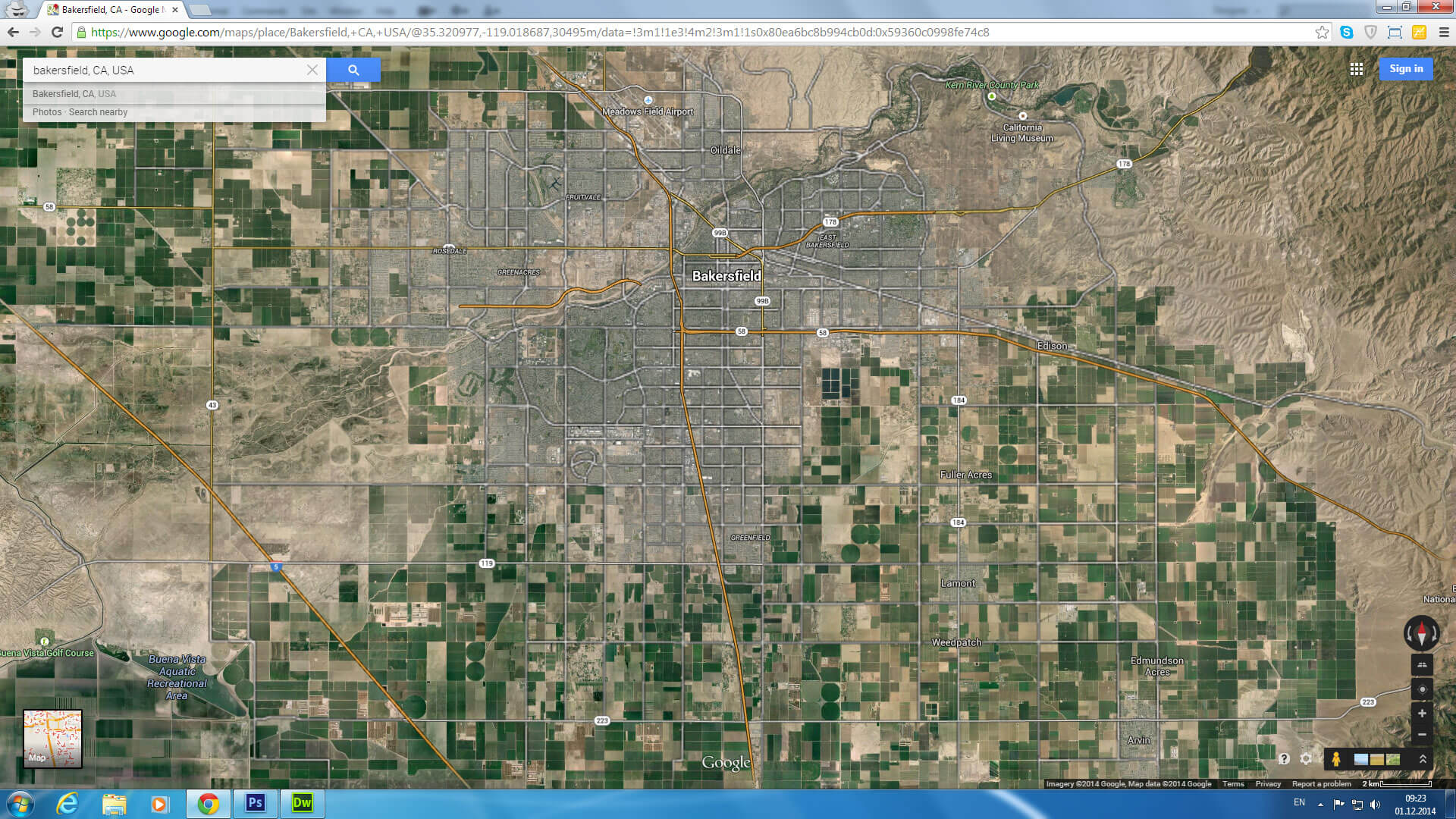
Bakersfield map California US satellite
Bakersfield terrain map California
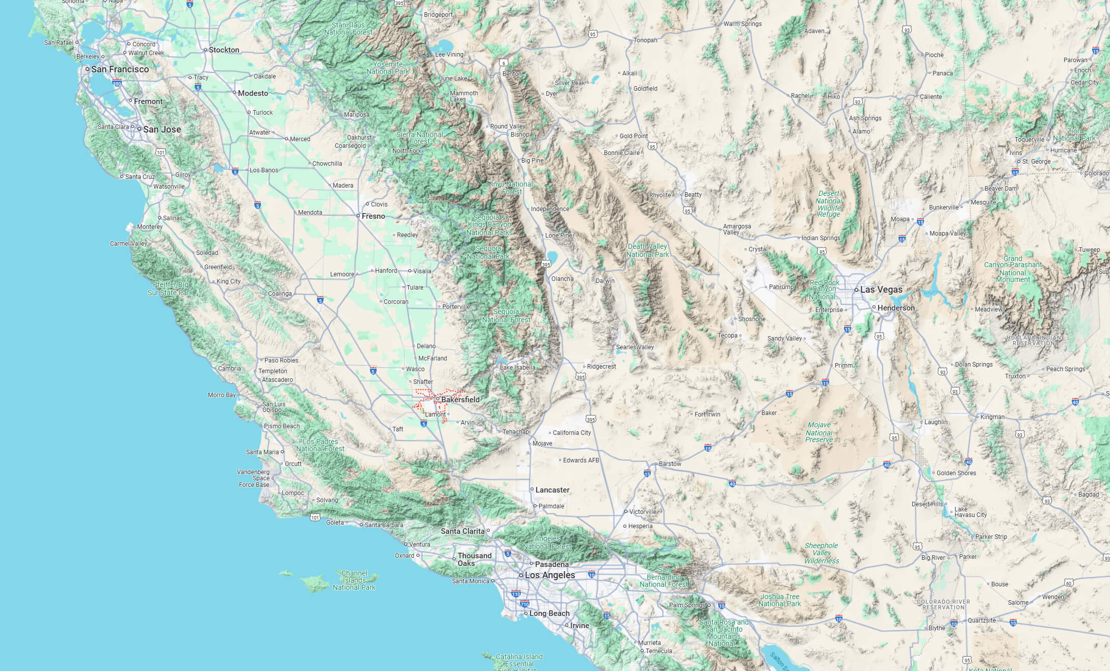
Bakersfield map California US
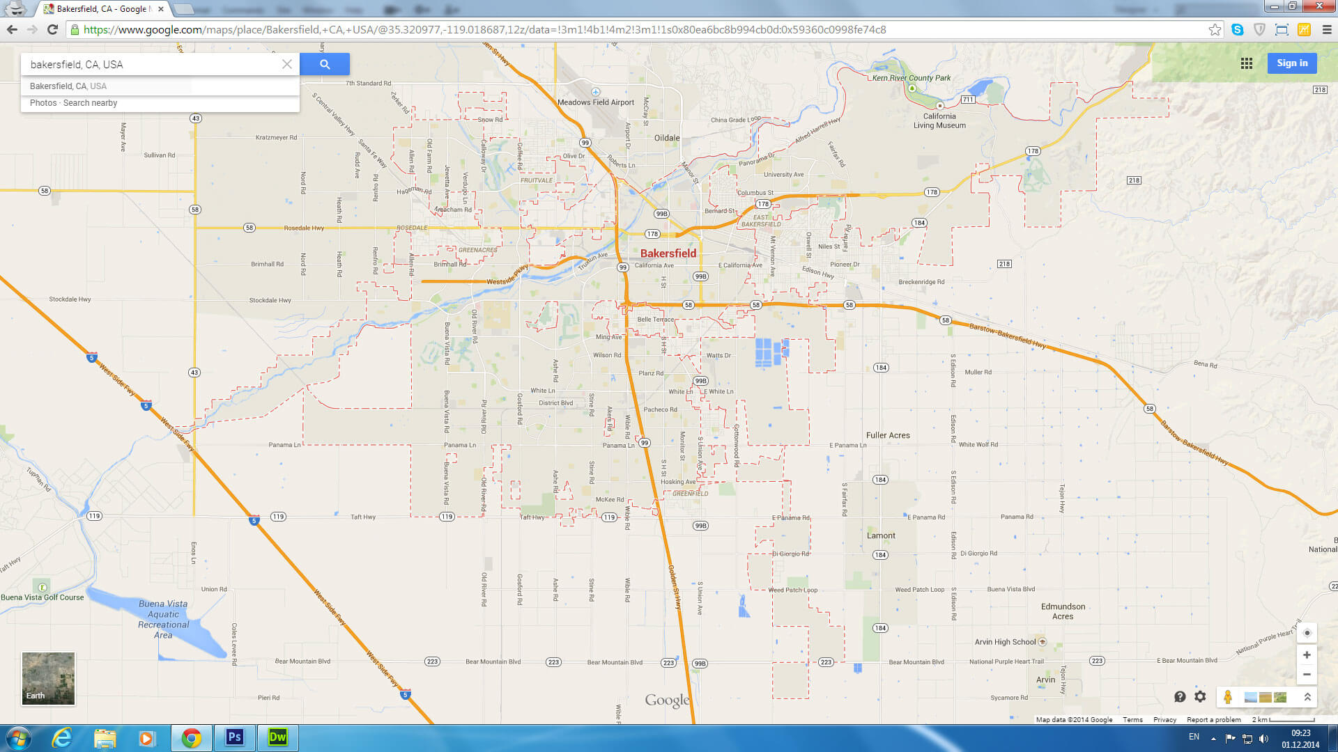
Bakersfield map California USA
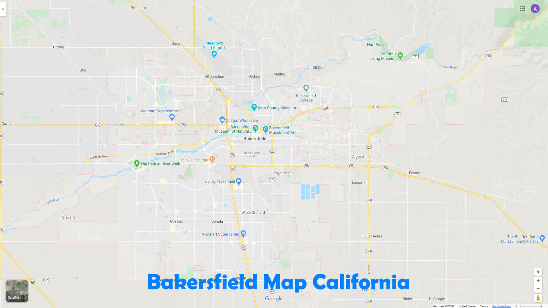
Bakersfield map California
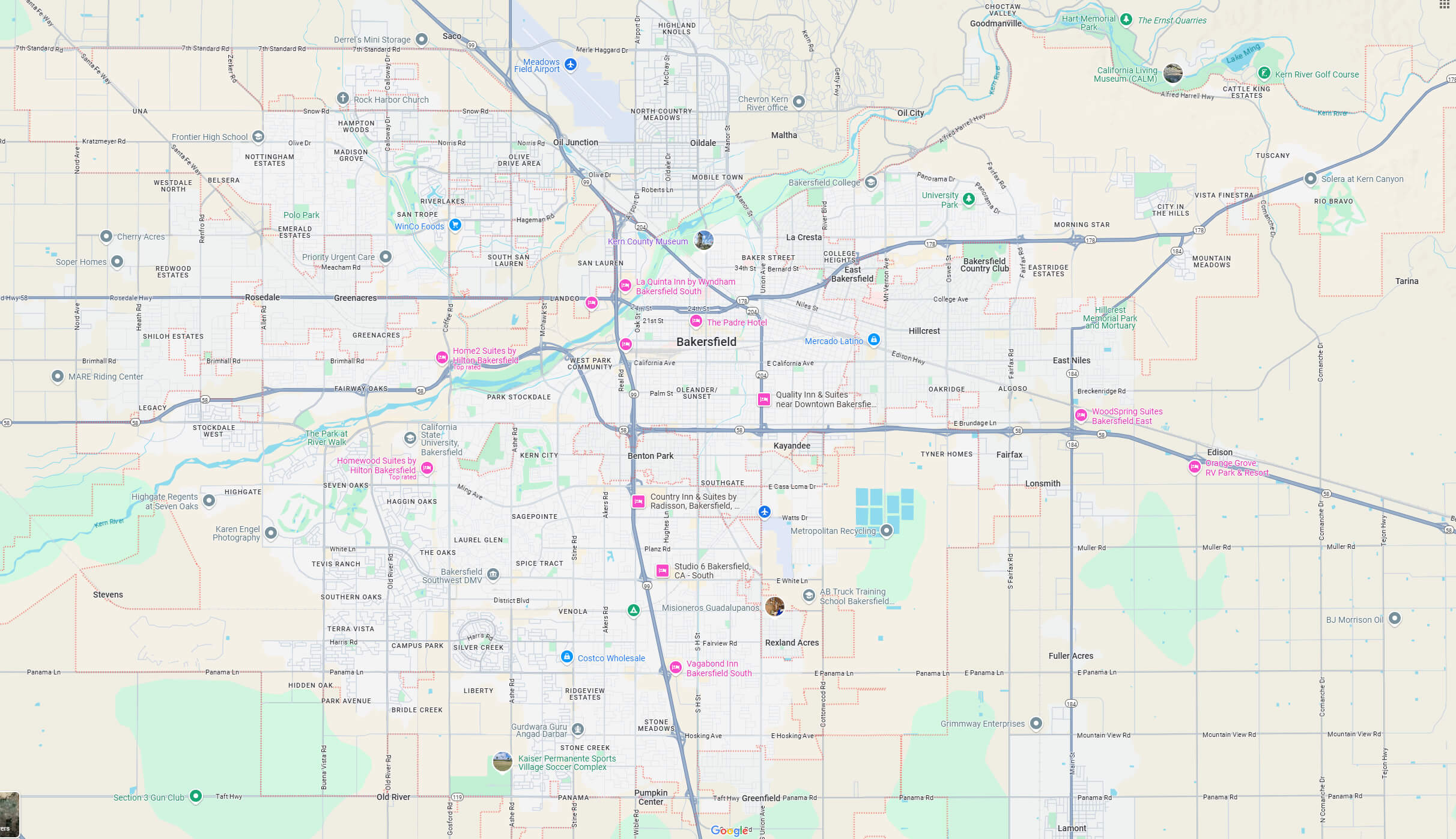
Bakersfield map LA
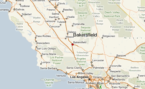
Bakersfield map
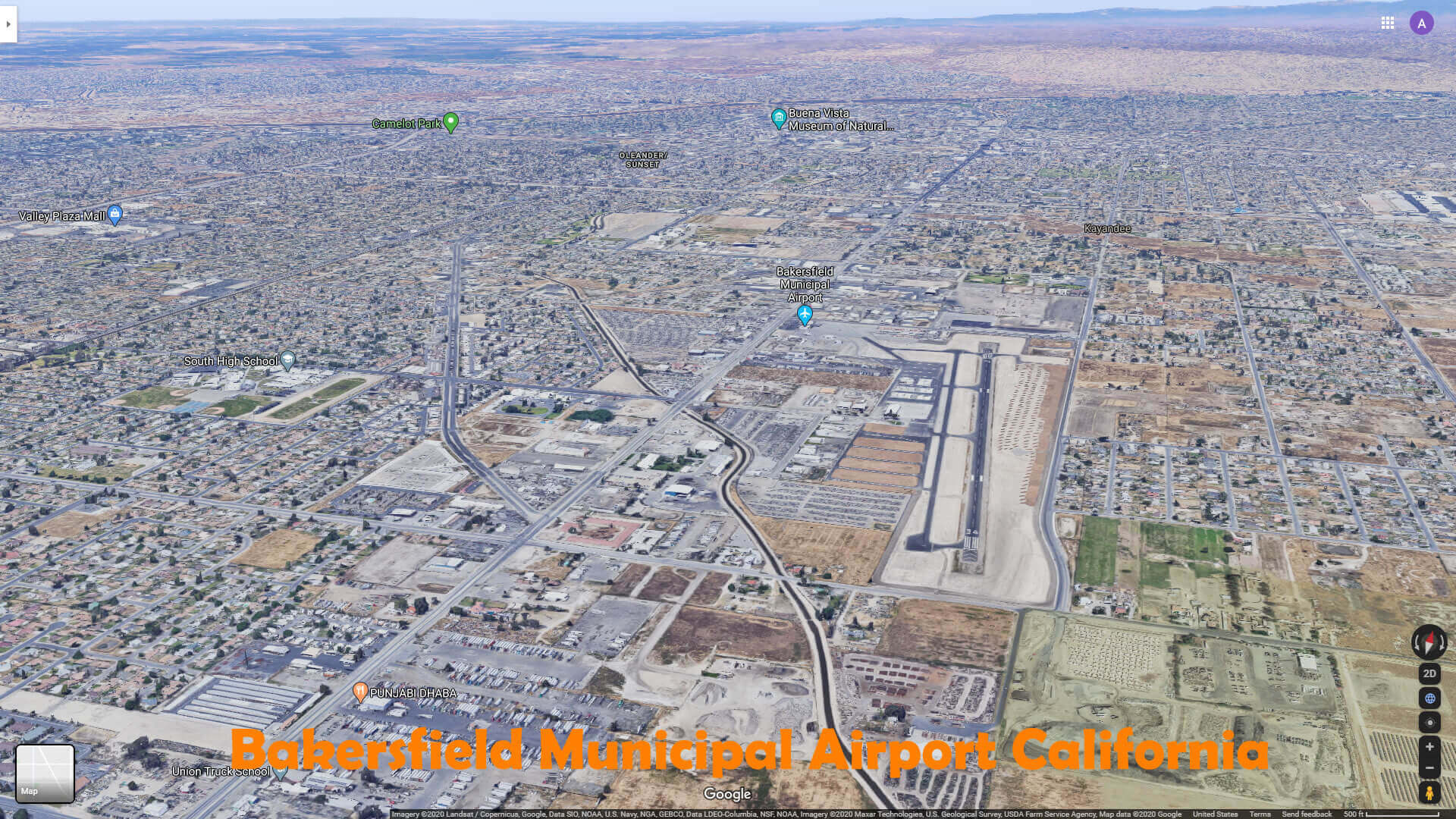
Bakersfield municipal airport California
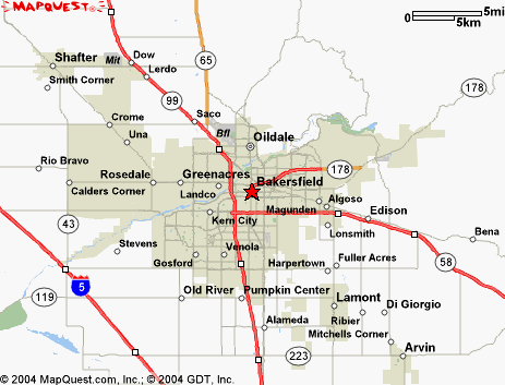
Bakersfield road map
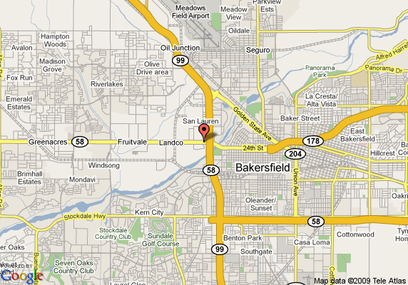
Bakersfield satellite map California
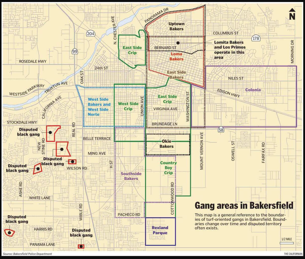
Gang areas map in Bakersfield
Map of Bakersfield
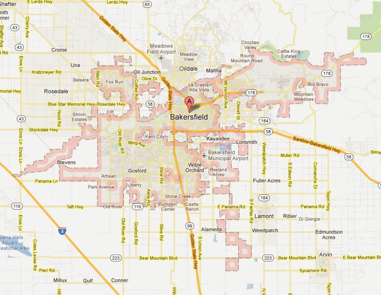
Where is Bakersfield on California Map?
Show Google interaactive map, satellite map, where is the country located.
Get directions by driving, walking, bicycling, public transportation and travel with street view.
Feel free to explore these pages as well:
- Los Angeles Map ↗️
- San Francisco Map ↗️
- San Diego Map ↗️
- Alameda Map ↗️
- Alhambra Map ↗️
- Anaheim Map ↗️
- Antelope Map in California ↗️
- Antioch Map in California ↗️
- Orange County Map in California ↗️
- Riverside Map in California ↗️
- California Map ↗️
- California County Map ↗️
- California Physical Map ↗️
- California Road Map ↗️
- California Population Map ↗️
- A Collection of California Maps ↗️
- United States Map ↗️
- North America Map ↗️
