- Advertisement -
A Collection of Nevada Photos
Valley of Fire State Park, Nevada
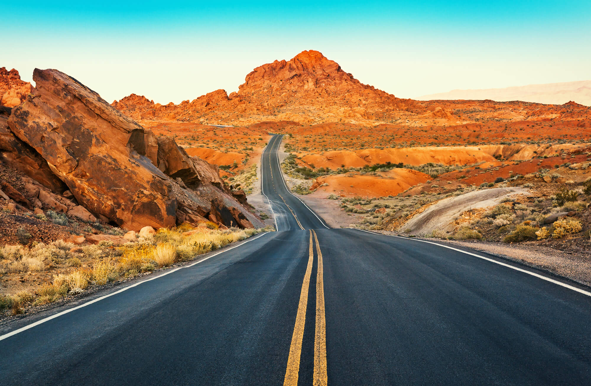
Surface of Driveway, Valley of Fire State Park, Nevada, USA
Sierra Nevada Mountains
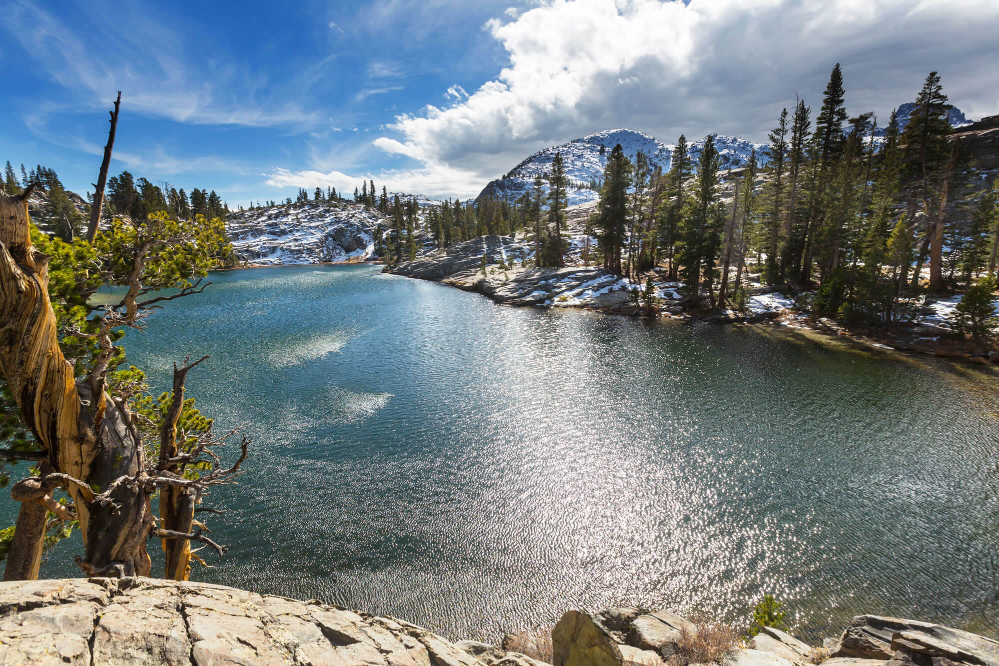
Sierra Nevada Mountains, United States
Englebright Dam, Nevada
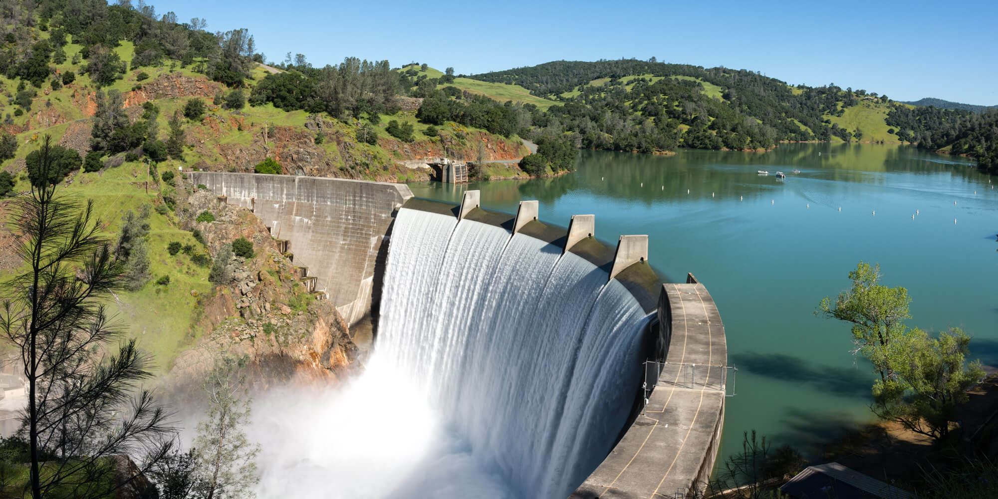
Water spills over the top of Englebright Dam on the Yuba River. A larger than normal snow pack in the Sierra Nevada Mountains has increased runoff into lakes and rivers in California.
Valley of Fire State Park
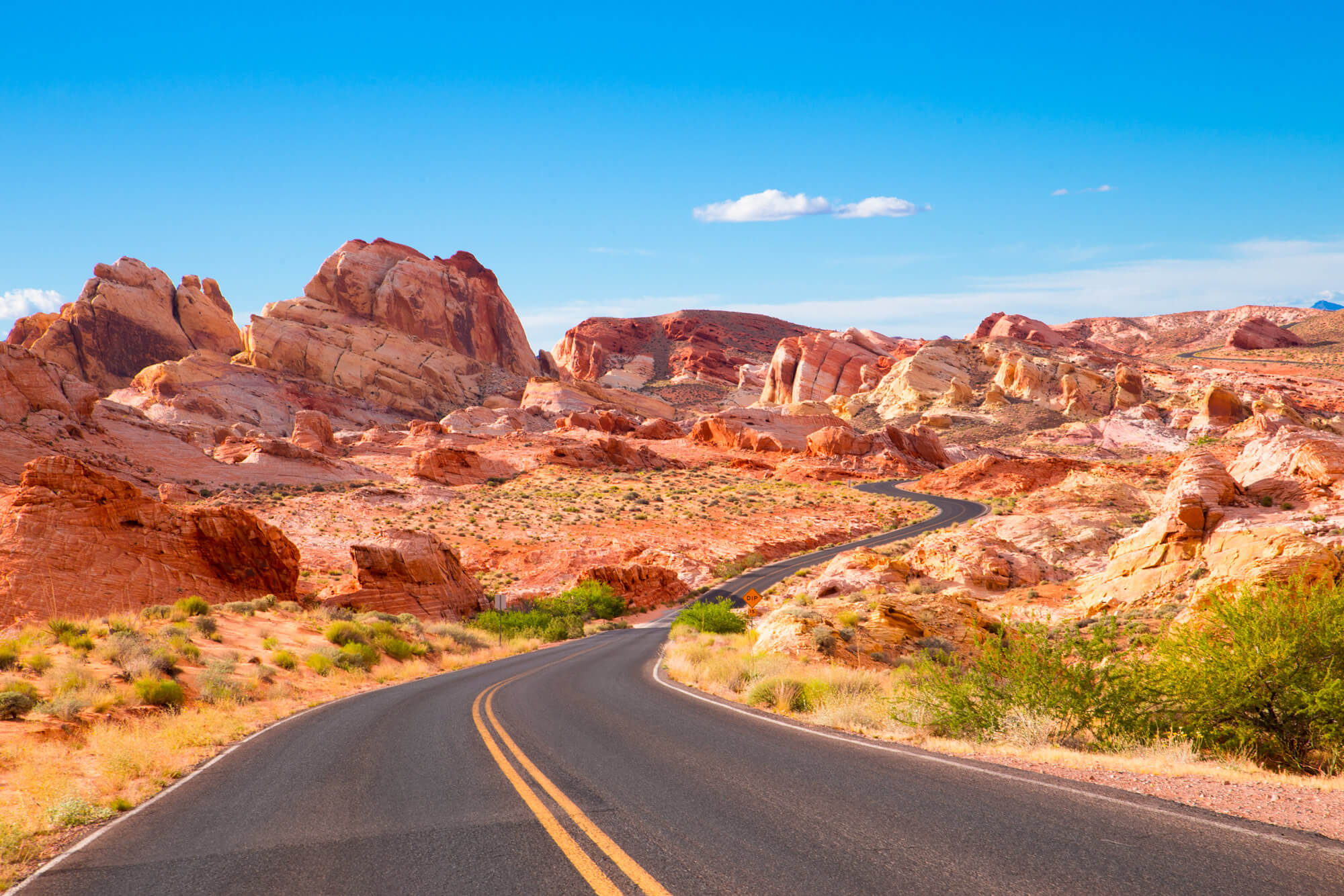
Road through Valley of Fire State Park in Nevada.
Aerial View of Las Vegas

Aerial view of Las Vegas strip in Nevada as seen at night in the USA.
Sierra Nevada
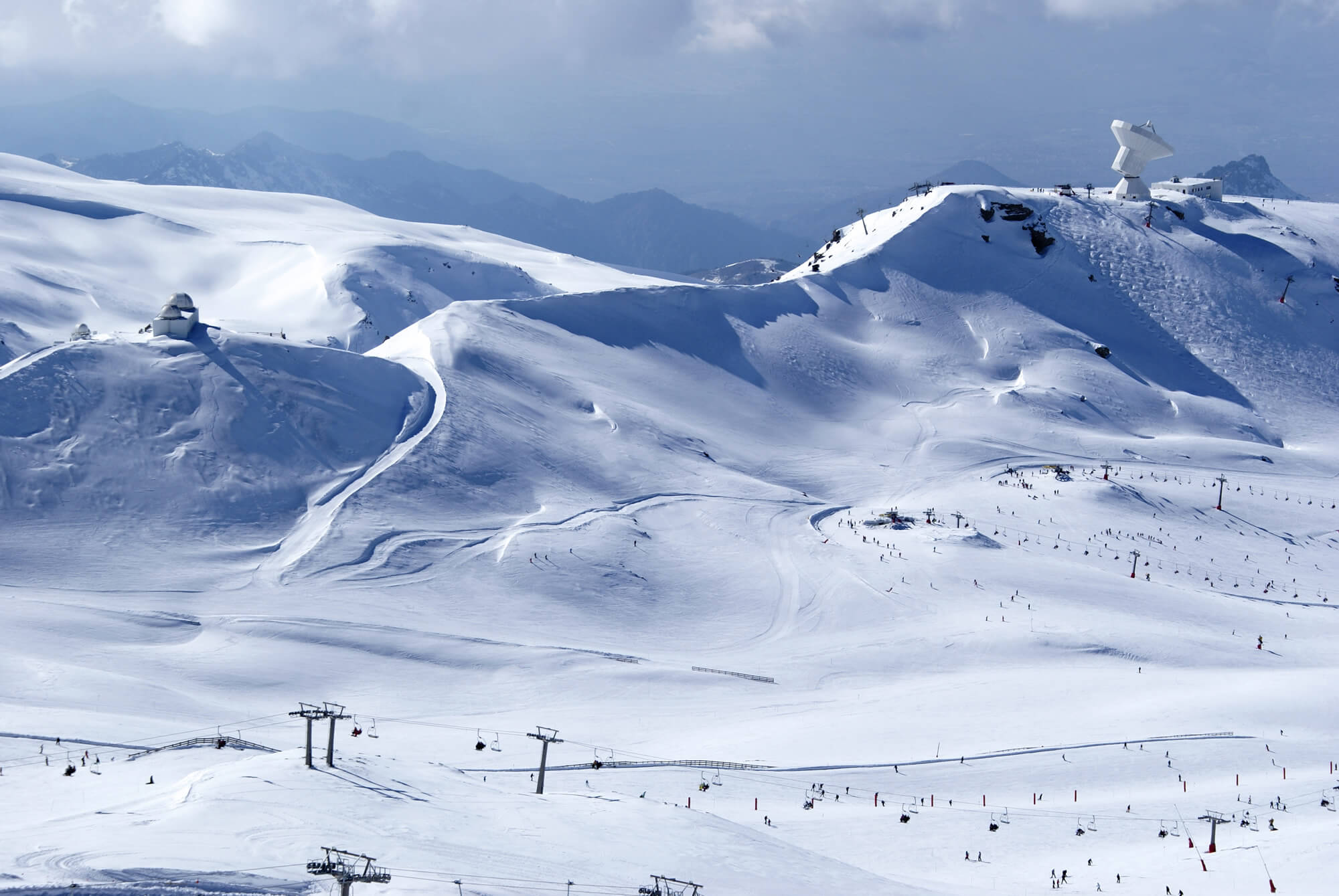
Sierra Nevada, United States of America
Where is Nevada on the US Map?
Show Google interactive map, satellite map, where is the country located.
Get directions by driving, walking, bicycling, public transportation and travel with street view.
Feel free to explore these pages as well:
- Nevada Map ↗️
- Map of Nevada ↗️
- Nevada Photos ↗️
- California Map ↗️
- Texas Map ↗️
- New York Map ↗️
- Florida Map ↗️
- Illinois Map ↗️
- Pennsylvania Map ↗️
- Ohio Map ↗️
- Michigan Map ↗️
- Georgia Map ↗️
- New Jersey Map ↗️
- North Carolina Map ↗️
- Virginia Map ↗️
- Massachusetts Map ↗️
- Indiana Map ↗️
- Tennessee Map ↗️
- Arizona Map ↗️
- Missouri Map ↗️
- Maryland Map ↗️
- Washington Map ↗️
- Minnesota Map ↗️
- Colorado Map ↗️
- Alabama Map ↗️
- Louisiana Map ↗️
- South Carolina Map ↗️
- Kentucky Map ↗️
- Oregon Map ↗️
- Oklahoma Map ↗️
- Connecticut Map ↗️
- Iowa Map ↗️
- Mississippi Map ↗️
- Arkansas Map ↗️
- Kansas Map ↗️
- Utah Map ↗️
- District of Columbia Map ↗️
- United States Map ↗️
- Map of United States ↗️
- North America Map ↗️
- Map of North America ↗️
- Advertisement -
