- Advertisement -
A collection of Florida Maps; View a variety of Florida physical, political, administrative, relief map, Florida satellite image, higly detalied maps, blank map, Florida Florida and earth map, Florida’s regions, topography, cities, road, direction maps and atlas.
Hurricane Milton’s Path: Tracking the Storm’s Approach to Florida’s Major Cities ↗️
A Collection of Florida Maps
Florida Counties Map
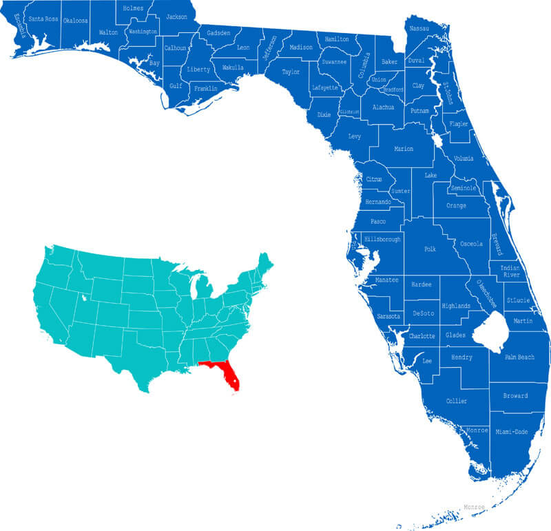 Florida Counties Map where state located in the US.
Florida Map
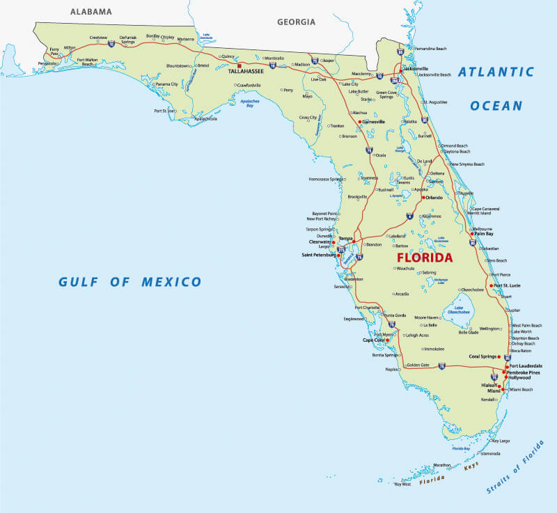
Florida map with major cities, United States of America.
Florida Administrative Map
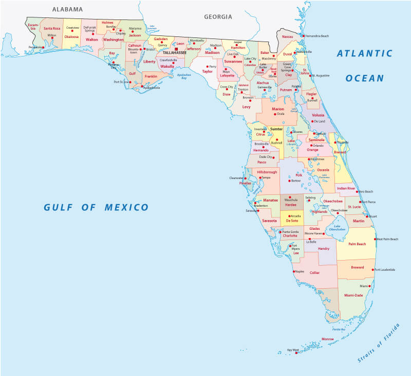
Florida administrative map with counties, USA.
Florida Map with National Parks
Florida map with national parks, USA.
Florida Main Cities Map
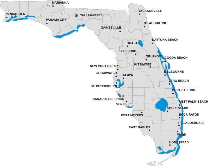
Florida Main Cities Map with counties border.
Florida Blank Map
Florida Blank Map, US State.
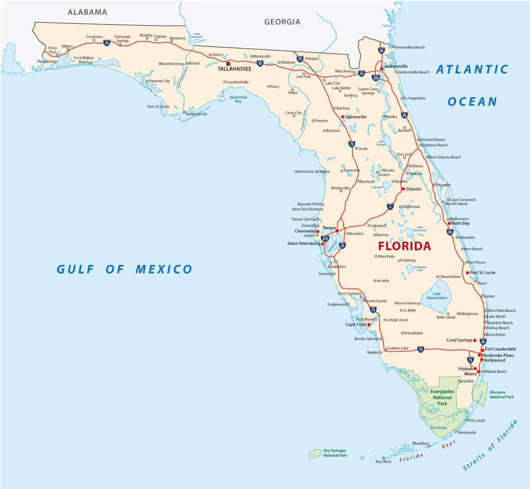
Florida Road Map
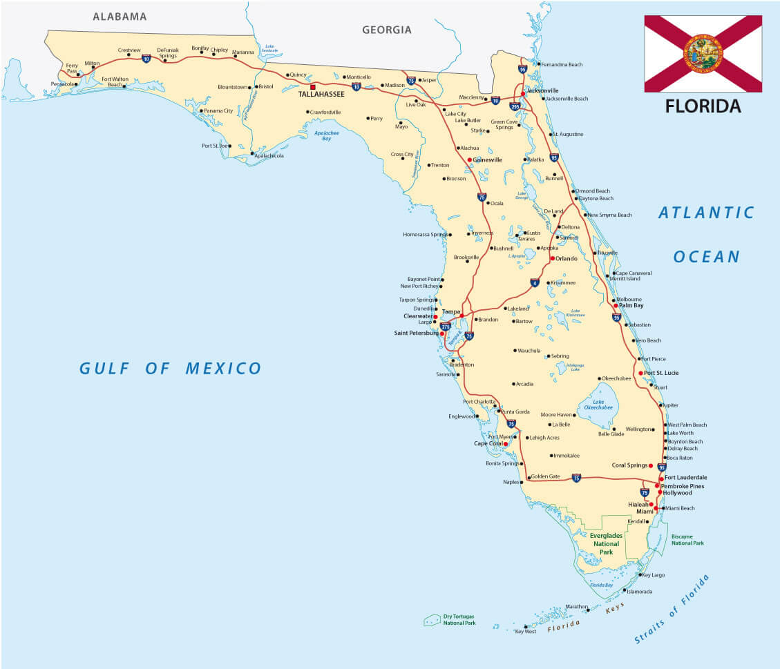
Florida Road Map with the state flag.
Where is Florida in the US?
Show Google map, satellite map, where is the country located.
Get directions by driving, walking, bicycling, public transportation, and travel with street view.
Feel free to explore these pages as well:
- Hurricane Milton’s Path ↗️
- Florida US Map ↗️
- Map of Florida ↗️
- Florida Map ↗️
- All About Florida ↗️
- The Traveler’s Top 10 Travel Guide to Orlando ↗️
- Miami’s Magic Uncovered ↗️
- Dive Into The Bahamas ↗️
- Miami’s Magic Uncovered: Your Essential Guide to the City’s Top 10 Attractions ↗️
- California Map ↗️
- Texas Map ↗️
- New York Map ↗️
- United States Map ↗️
- Map of United States ↗️
- North America Map ↗️
- Map of North America ↗️
- Advertisement -