- Advertisement -
Explore France’s diverse geography with detailed maps of cities, regions, cantons and road networks. These maps provide a comprehensive overview of France’s administrative divisions, tourist hotspots and international borders, offering valuable insights into the country’s layout and cultural attractions.
Cities Map of France with Rivers
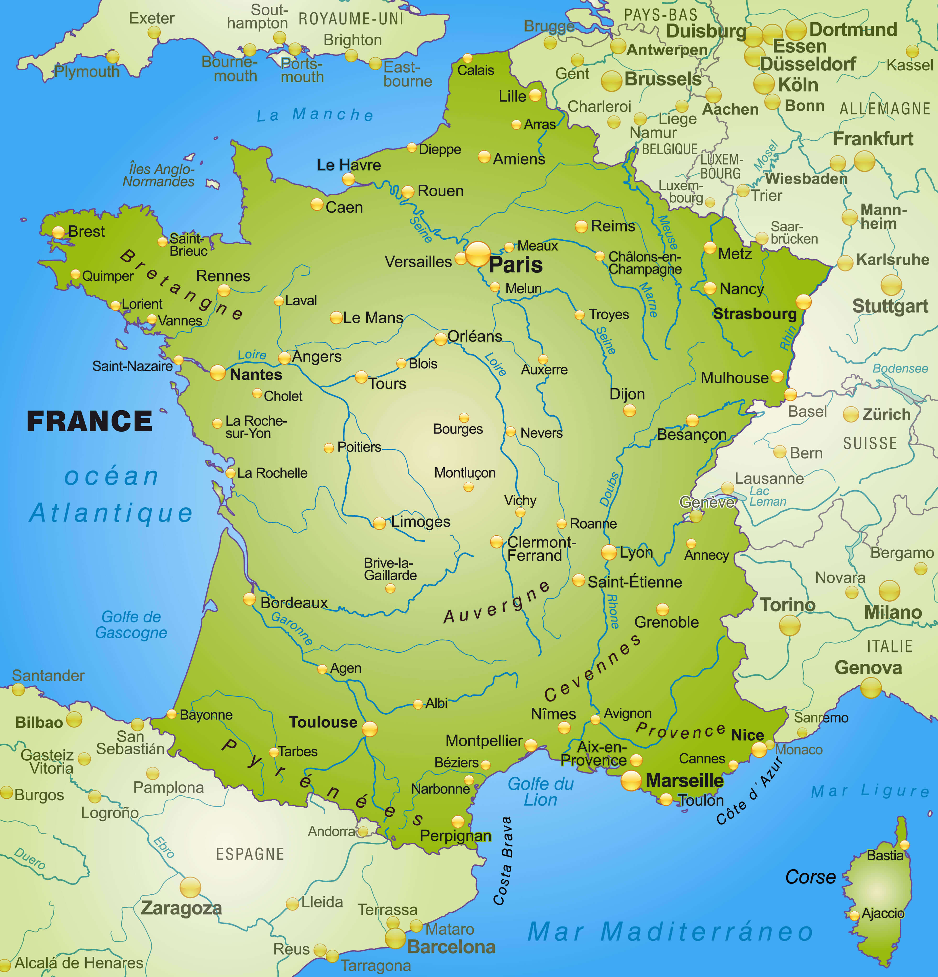 Map of France showcasing cities and rivers, highlighting Paris, Lyon, Marseille, and key waterways.
France Major Cities Map
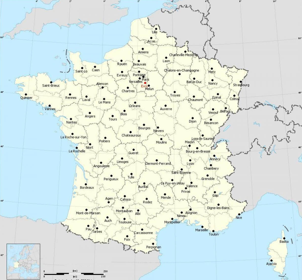
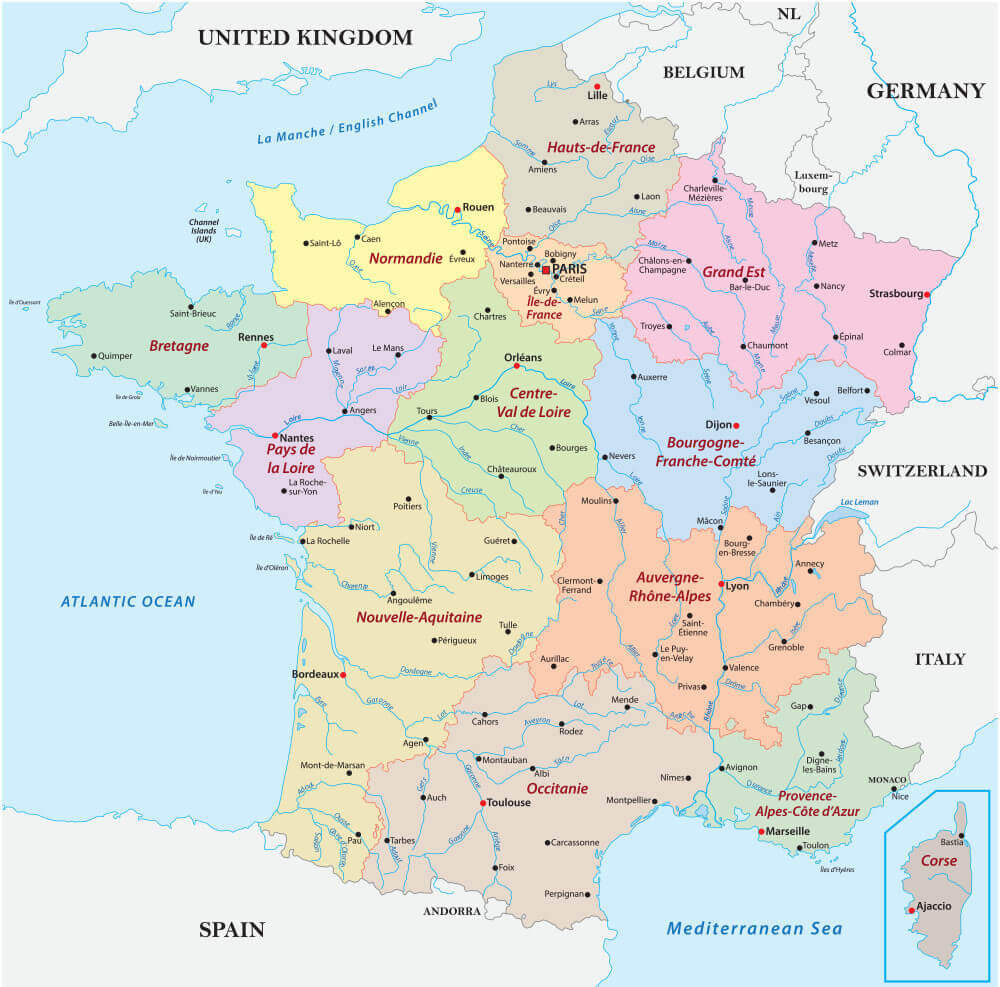
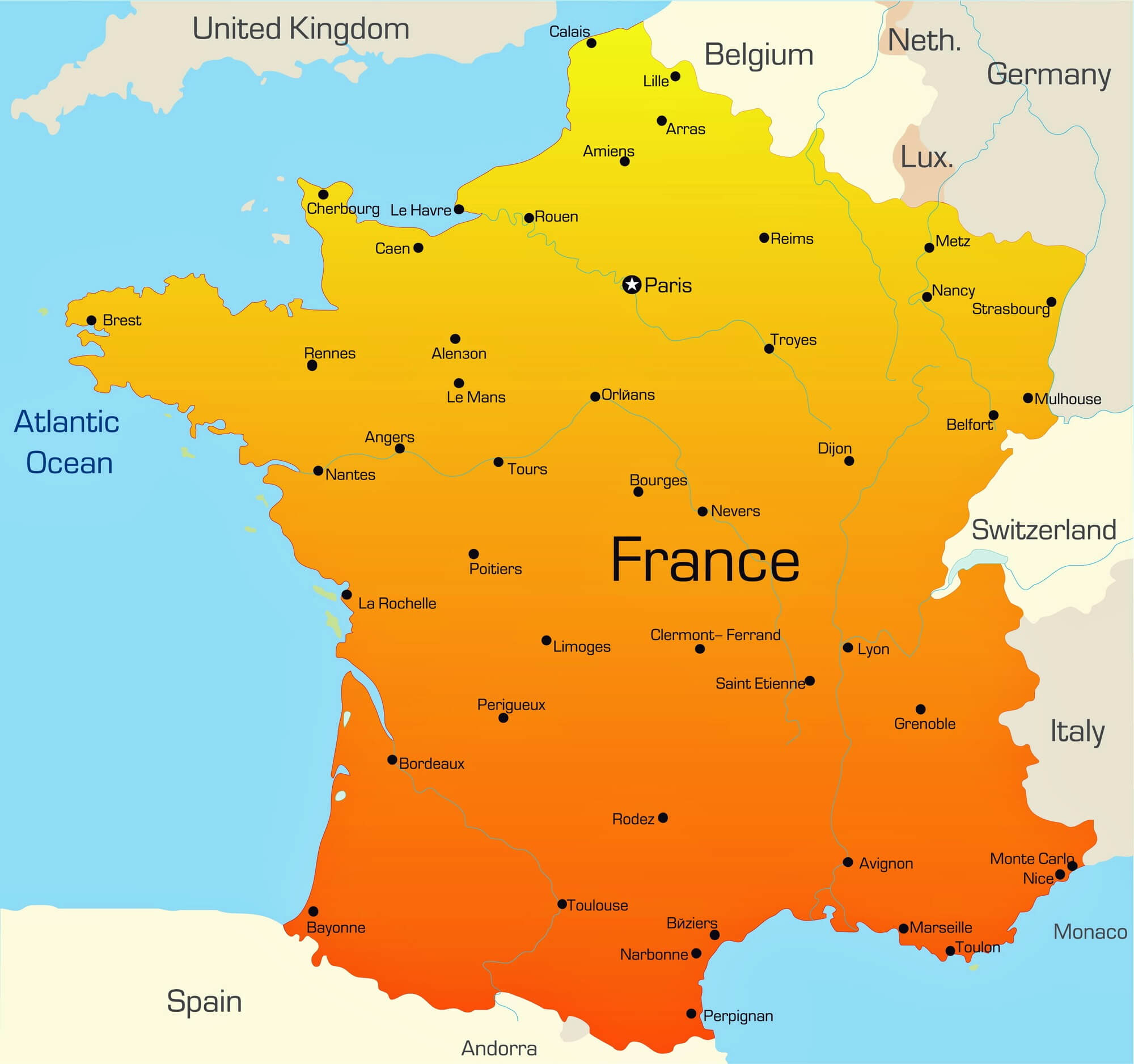 Map of France highlighting major cities across the country.
France Cities and Regions Map with French Territories
France Touristic Cities Map
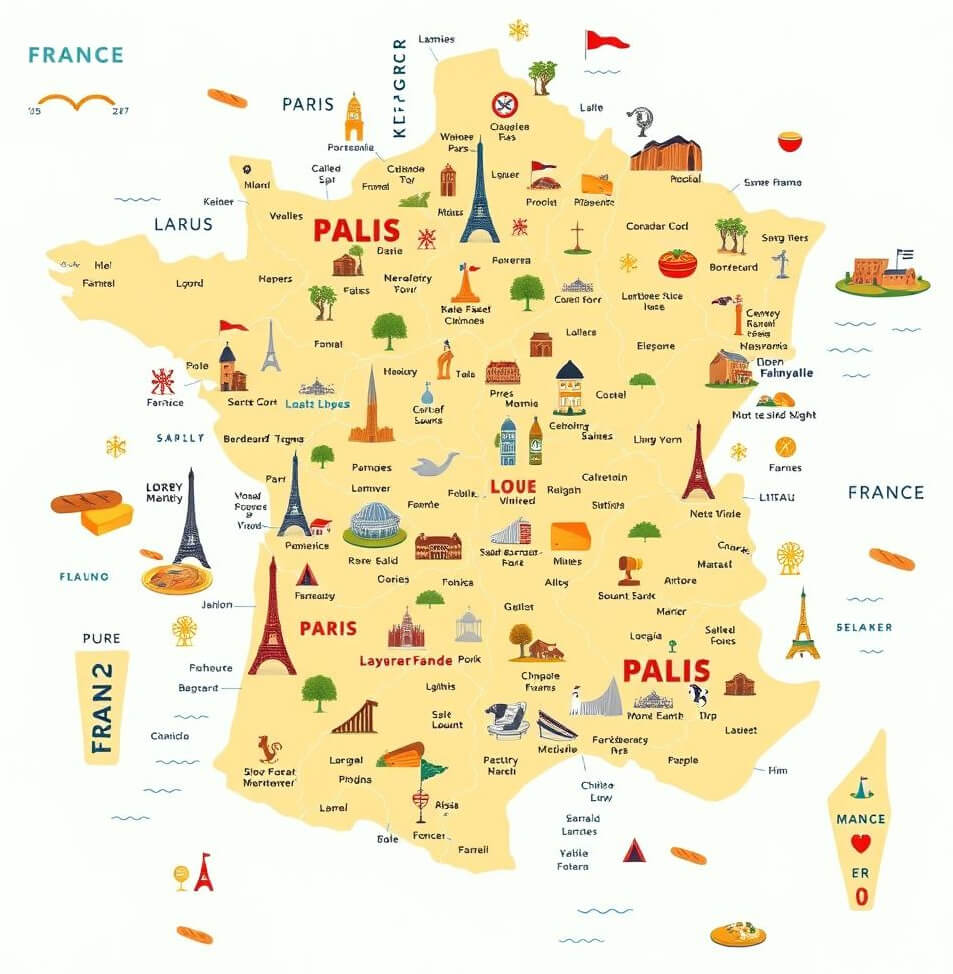 Illustrated map of France highlighting touristic cities and landmarks.
France Cities Map with Main Roads
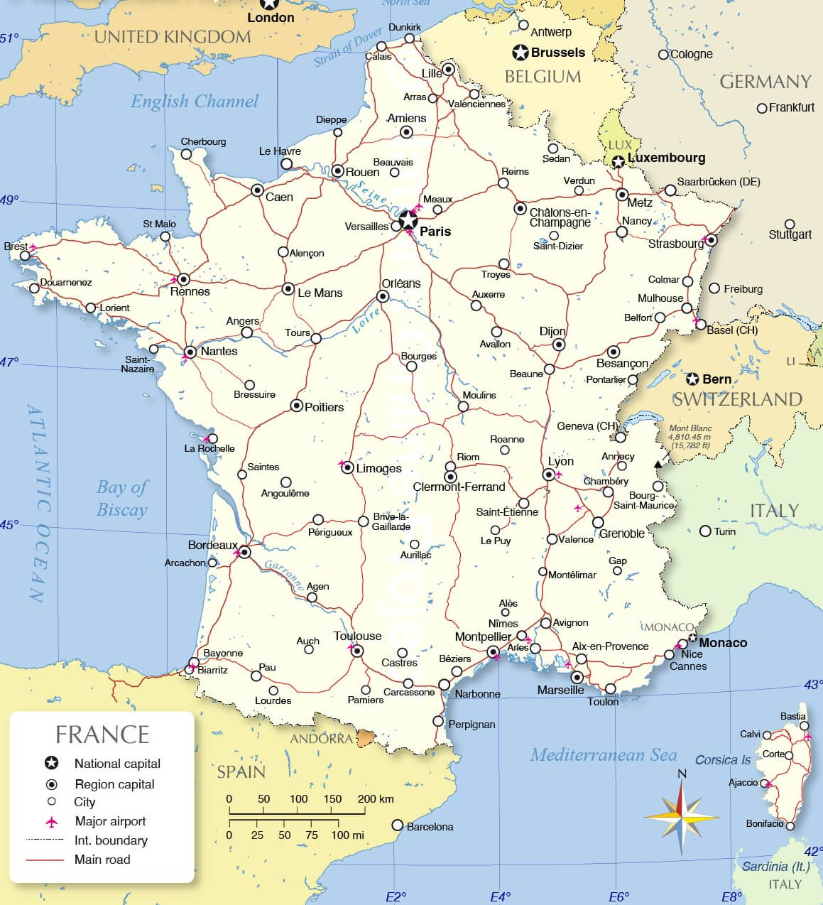
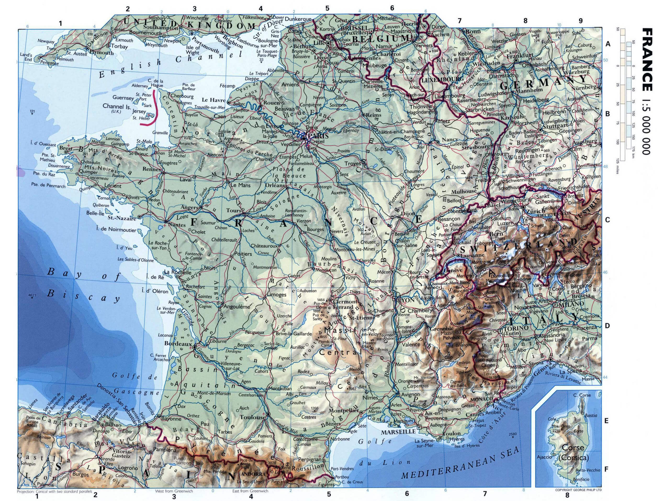
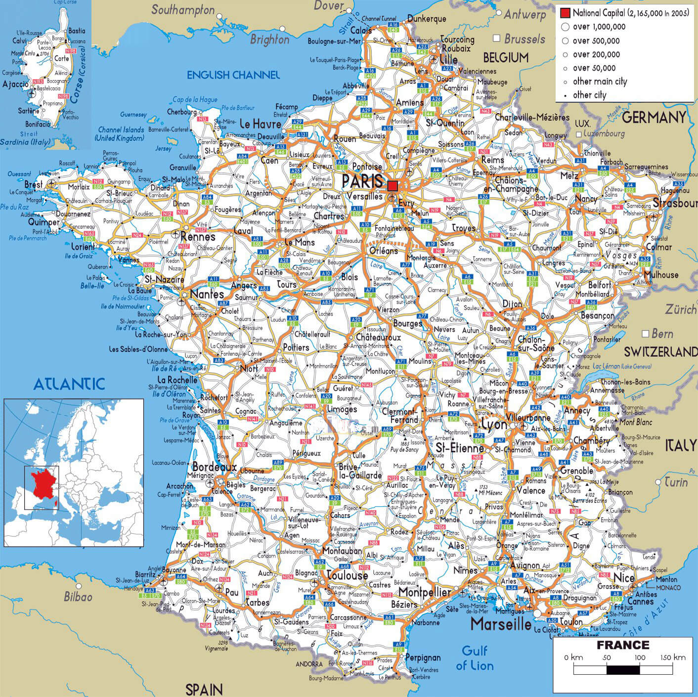 Map of France showing major cities and the main road network.
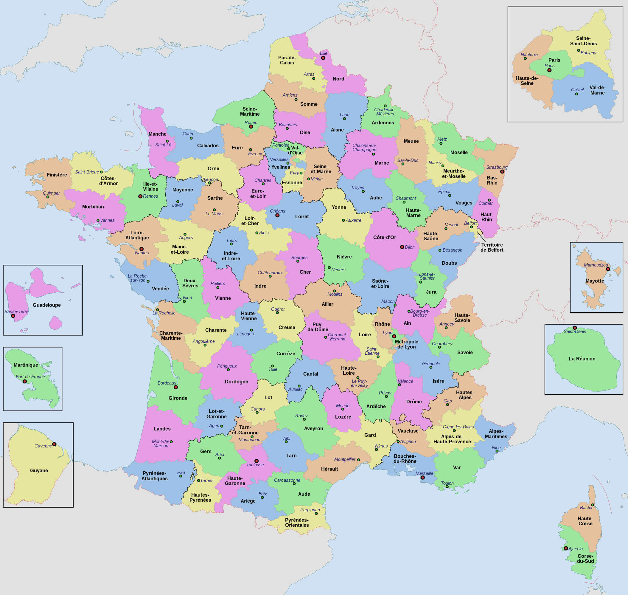
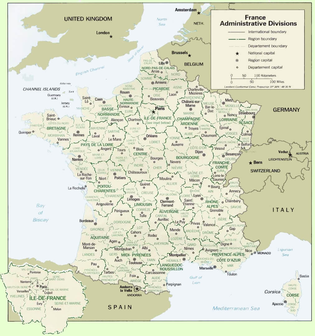
France administrative divisions map with cities
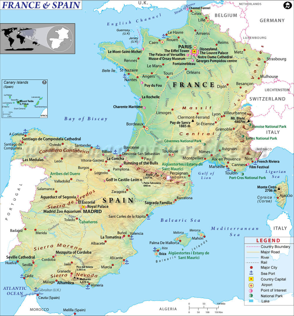
France and spain cities map
France cantons map with major cities
France cities map
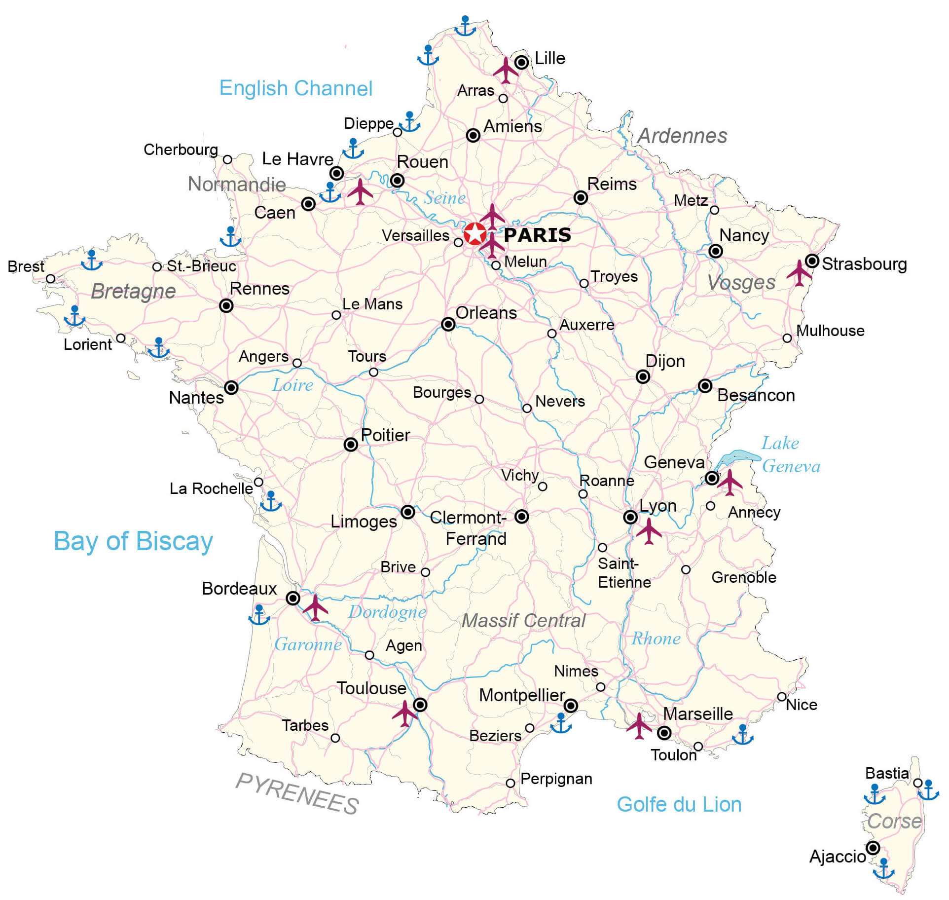
France cities map with airports
France cities map with highways
 France
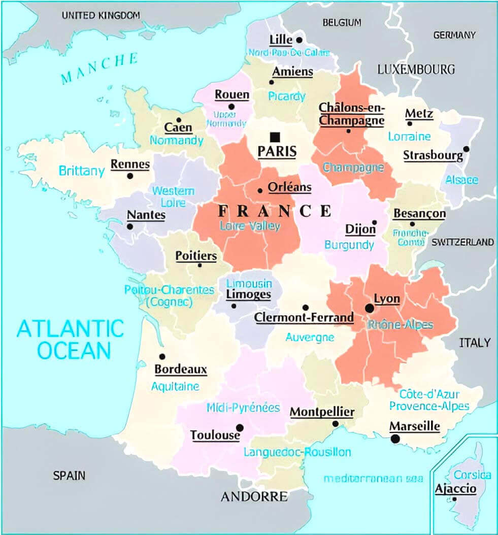
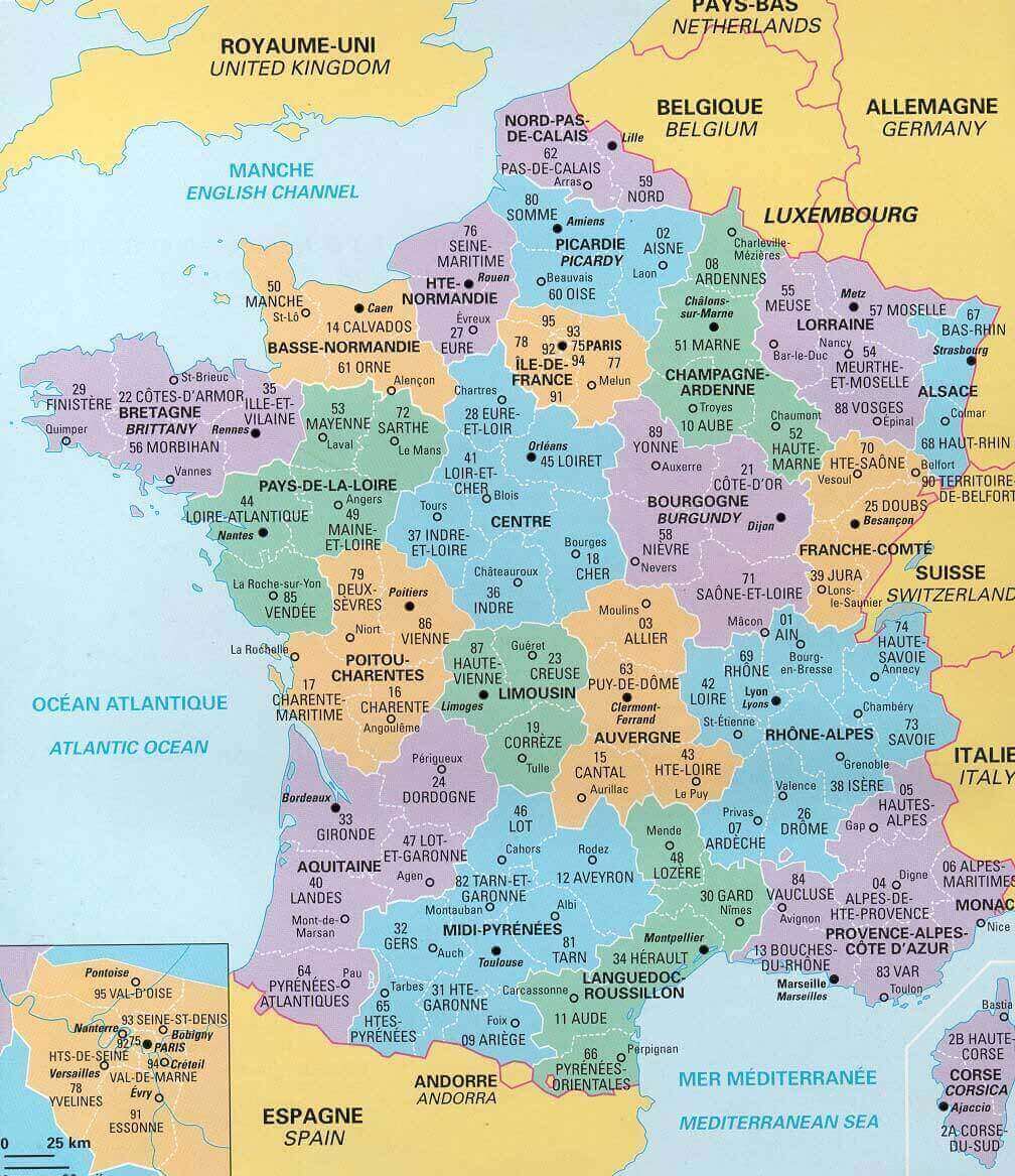
France cities map with provinces
France cities map with rivers and regions
Physical map of France with cities
Where is France on Europe Map?
Show Google interactive map, satellite map, where is the country located.
Get direction by driving, walking, bicycling, public transportation and travel with street view.
Feel free to explore these pages as well:
- France Map ↗️
- France Physical Maps ↗️
- France Political Map ↗️
- France Population Map ↗️
- France Road Map ↗️
- Map of France ↗️
- France Map Collection ↗️
- Top 10 Destinations in France ↗️
- Discovering Angers: The Gem of France’s Loire Valley ↗️ ↗️
- Nice’s Top 10 Attractions for Every Traveler ↗️
- Muslim Population Map in Europe by Country ↗️
- Europe Map ↗️
- Map of Europe ↗️
- A Collection of Europe Maps ↗️
- France Map ↗️
- Map of Spain ↗️
- Italy Map ↗️
- Ireland Map ↗️
- Political Map of the World ↗️
- United Kingdom Map ↗️
- Israel Map ↗️
- Germany Map ↗️
- Turkey Map ↗️
- Map of Sweden ↗️
- Map of Portugal ↗️
- Poland Map ↗️
- Switzerland Map ↗️
- Belgium Map ↗️
- Norway Map ↗️
- Finland Map ↗️
- Advertisement -