- Advertisement -
A collection of Ireland Maps; View a variety of Ireland physical, political, administrative, relief map, Ireland satellite image, higly detalied maps, blank map, Ireland world and earth map, Ireland’s regions, topography, cities, road, direction maps and atlas.
Ireland Political Map
 Ireland Political Map with major Irish cities.
Ireland Blank Map
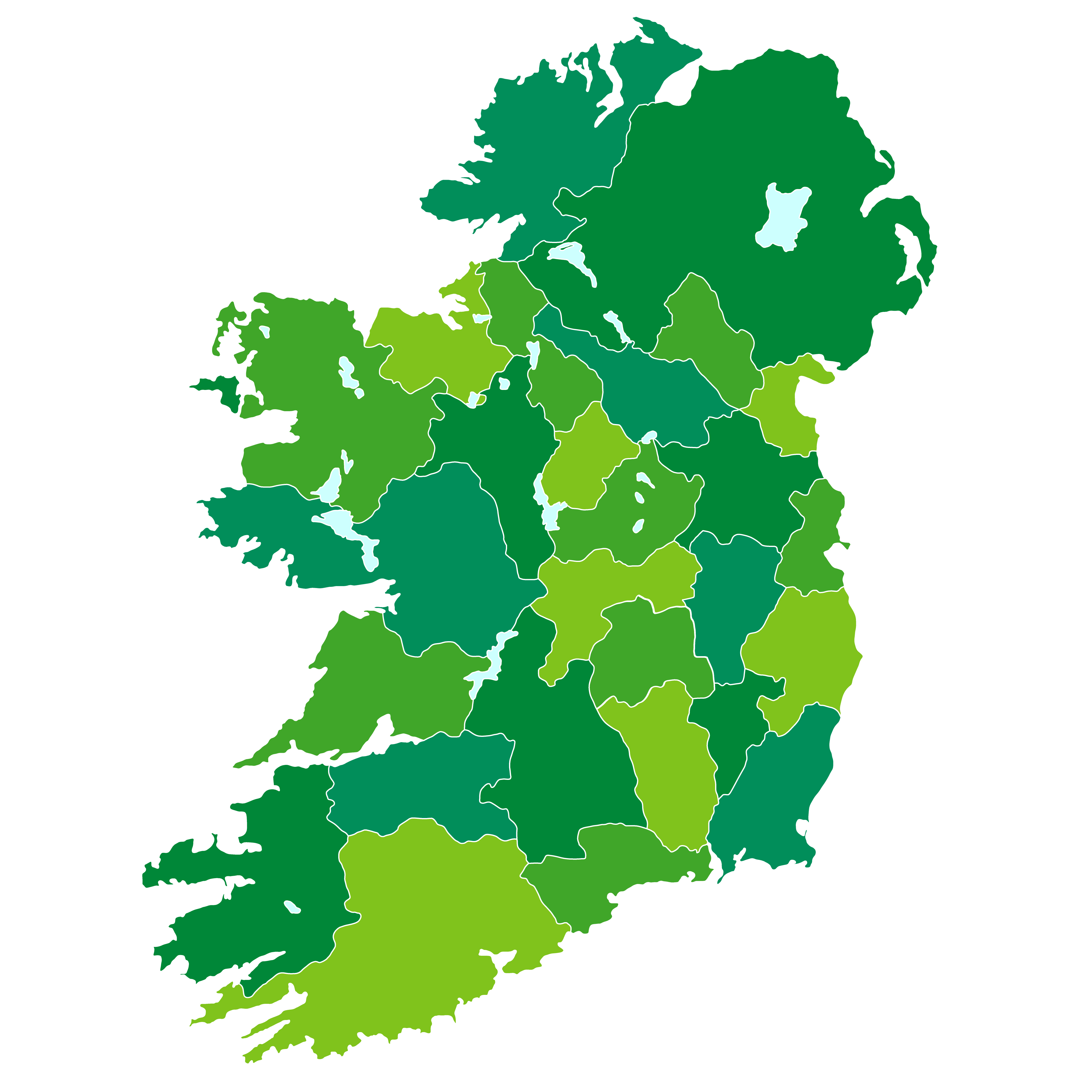 Ireland Blank Map with cities border.
Travel Map of Ireland
Ireland Satellite Map
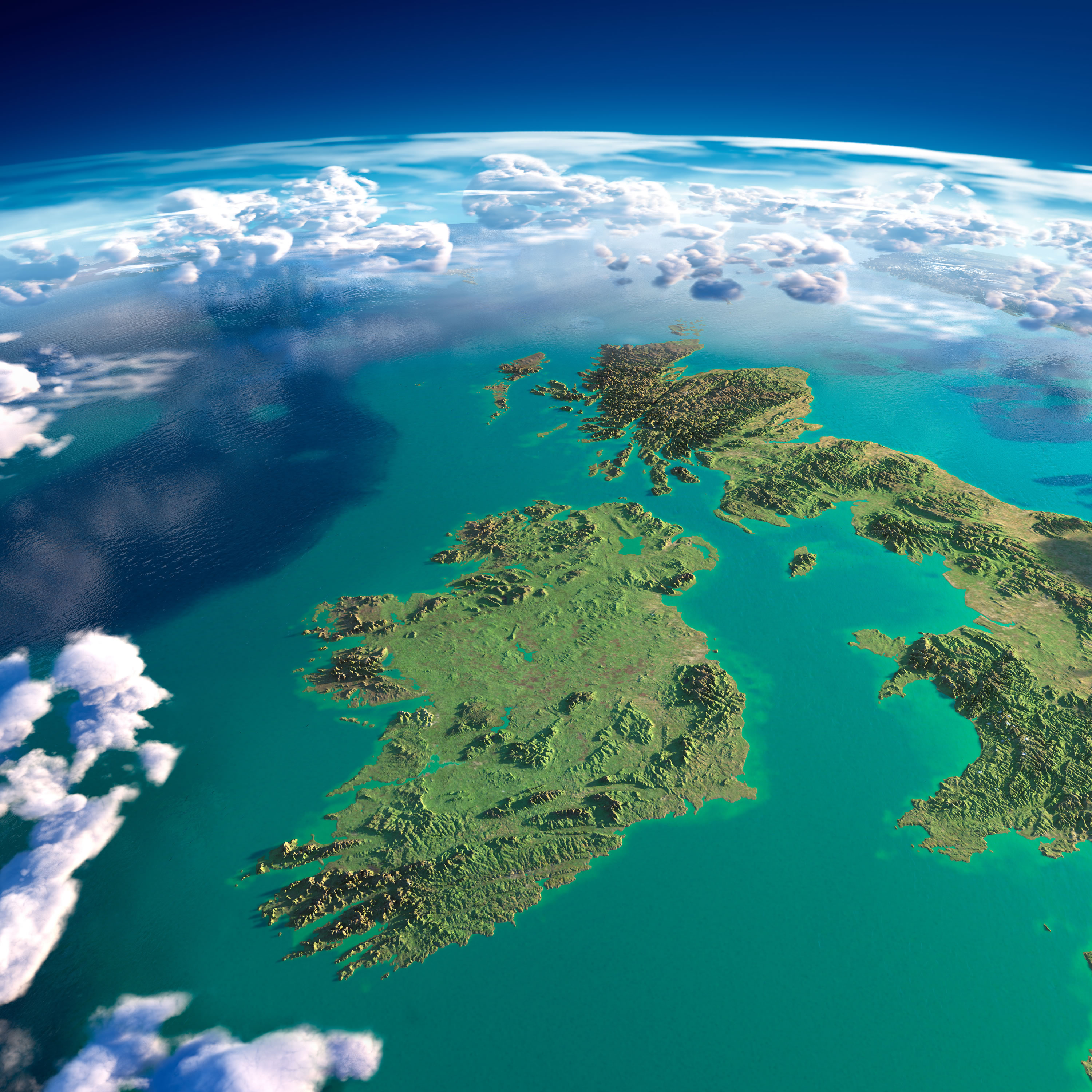 Highly detailed Ireland and UK Map with fragments of the planet Earth with exaggerated relief, translucent ocean and clouds, illuminated by the morning sun.
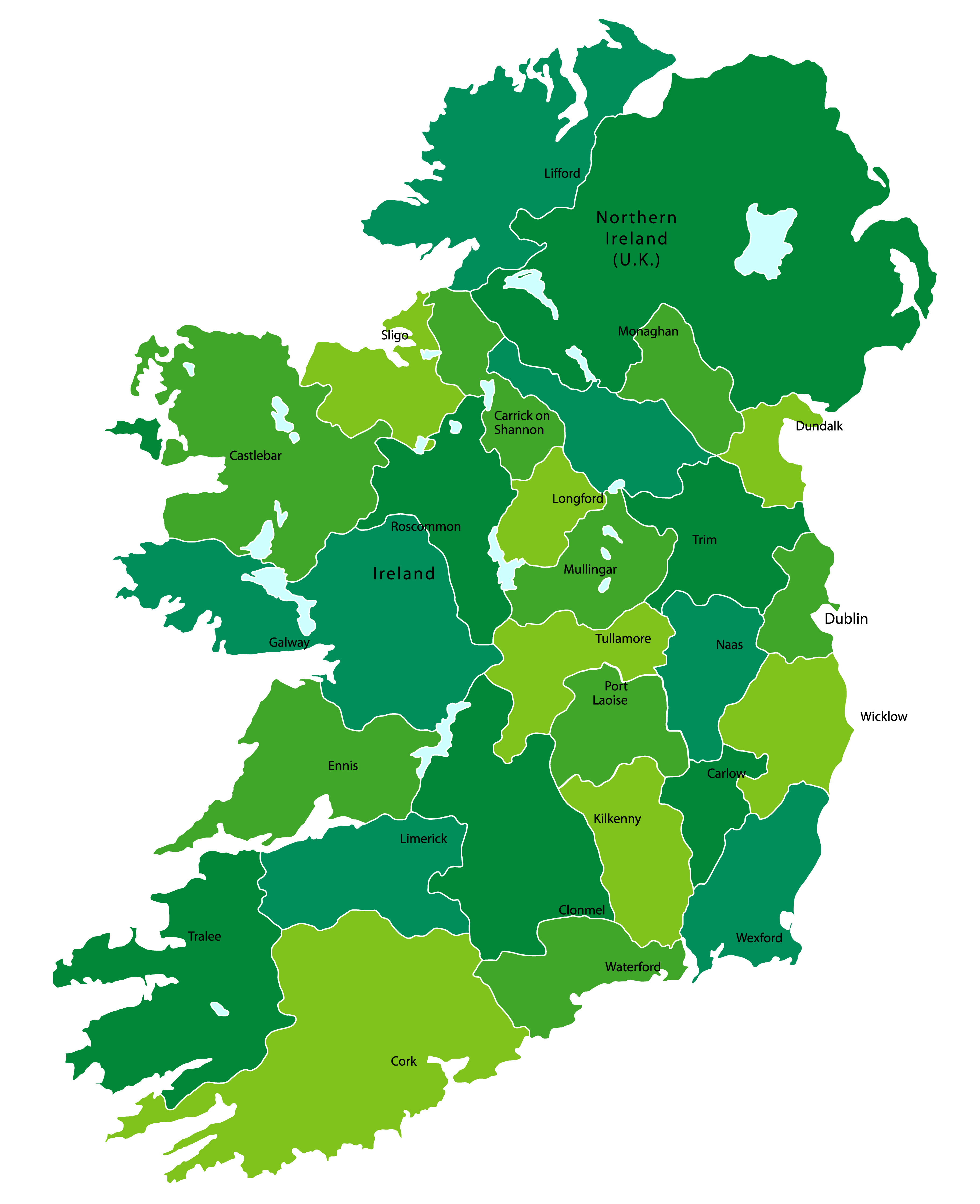
Political Map of Ireland
 Political Map of Ireland with main cities and province borders.
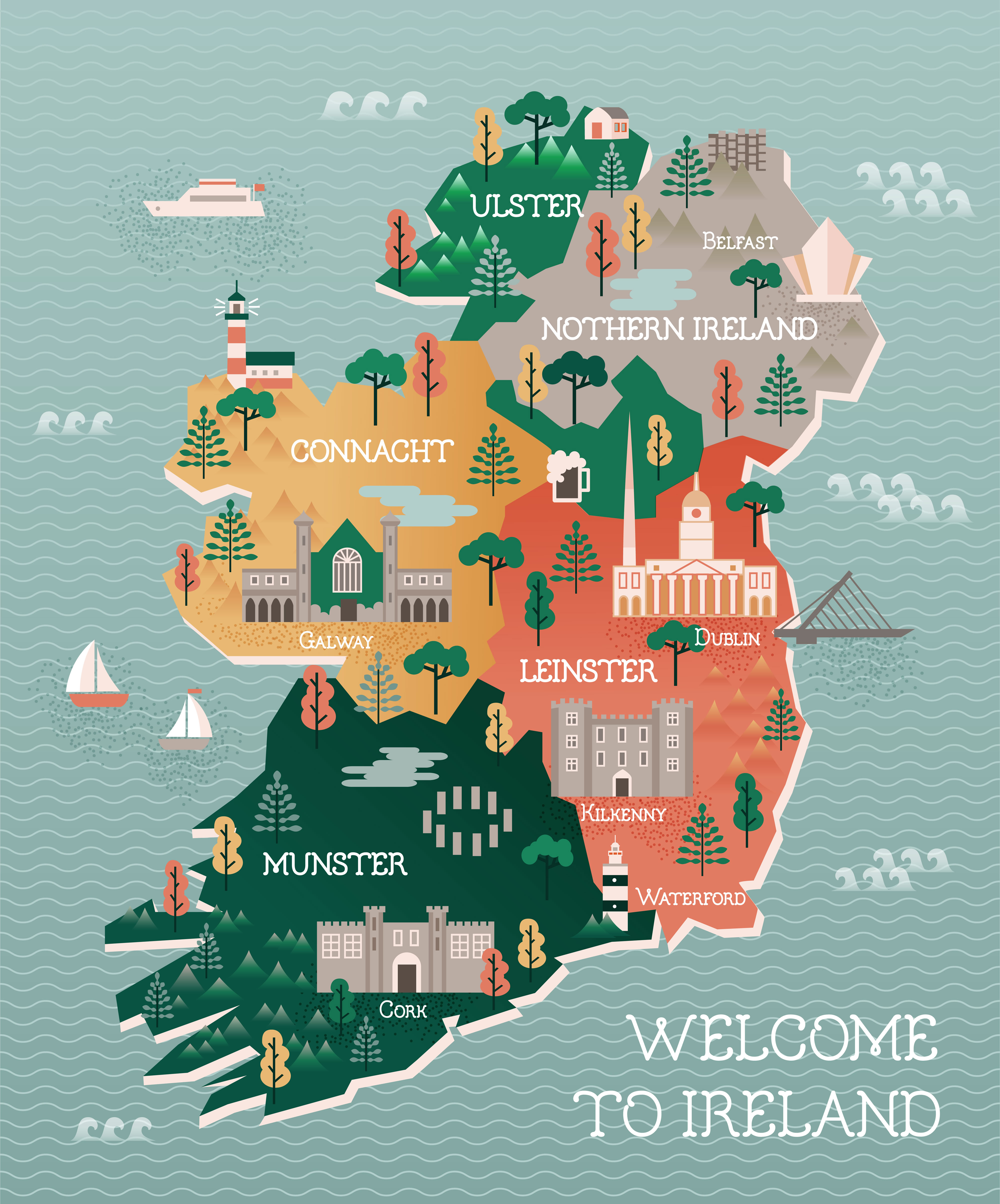
Ireland Regions Map
Where is Ireland on the Europe Map?
Show Google map, satellite map, where is the country located.
Get directions by driving, walking, bicycling, public transportation and travel with street view.
Feel free to explore these pages as well:
- Ireland Map ↗️
- Map of Ireland ↗️
- Discovering Belfast: The Northern Gem of the UK ↗️
- A Collection of United Kingdom Maps: A Comprehensive Atlas ↗️
- United Kingdom Map ↗️
- Map of United Kingdom ↗️
- Advertisement -