A collection of Poland Maps; View a variety of Poland’s physical, political, administrative, relief maps, Poland satellite images, highly detailed maps, blank maps, Poland world and earth maps, Poland’s regions, topography, cities, road, direction maps, and atlas.
A Collection of Poland Maps
Color Map of Poland
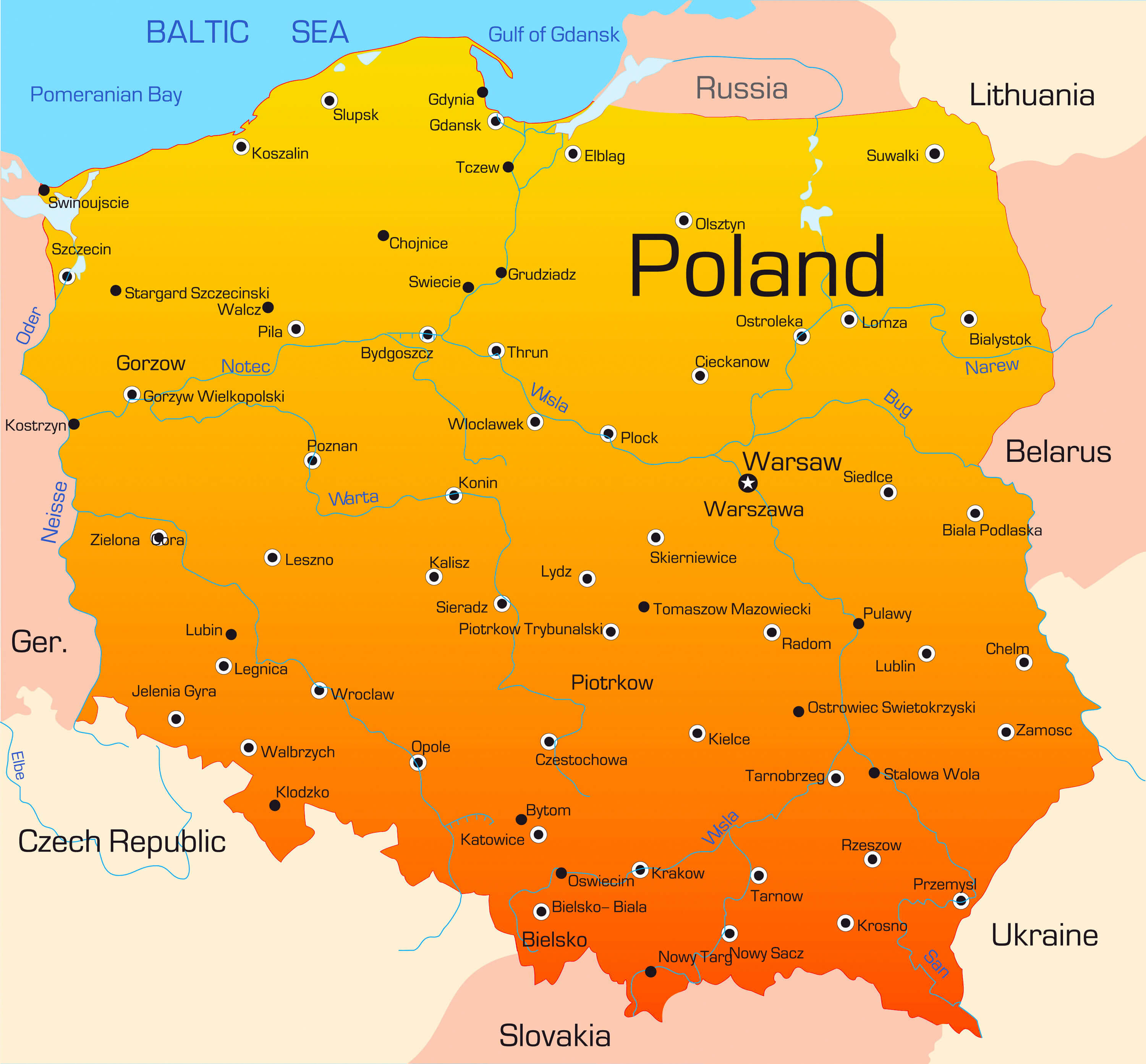 Abstract vector color map of Poland country.
Poland Shaded Relief Map
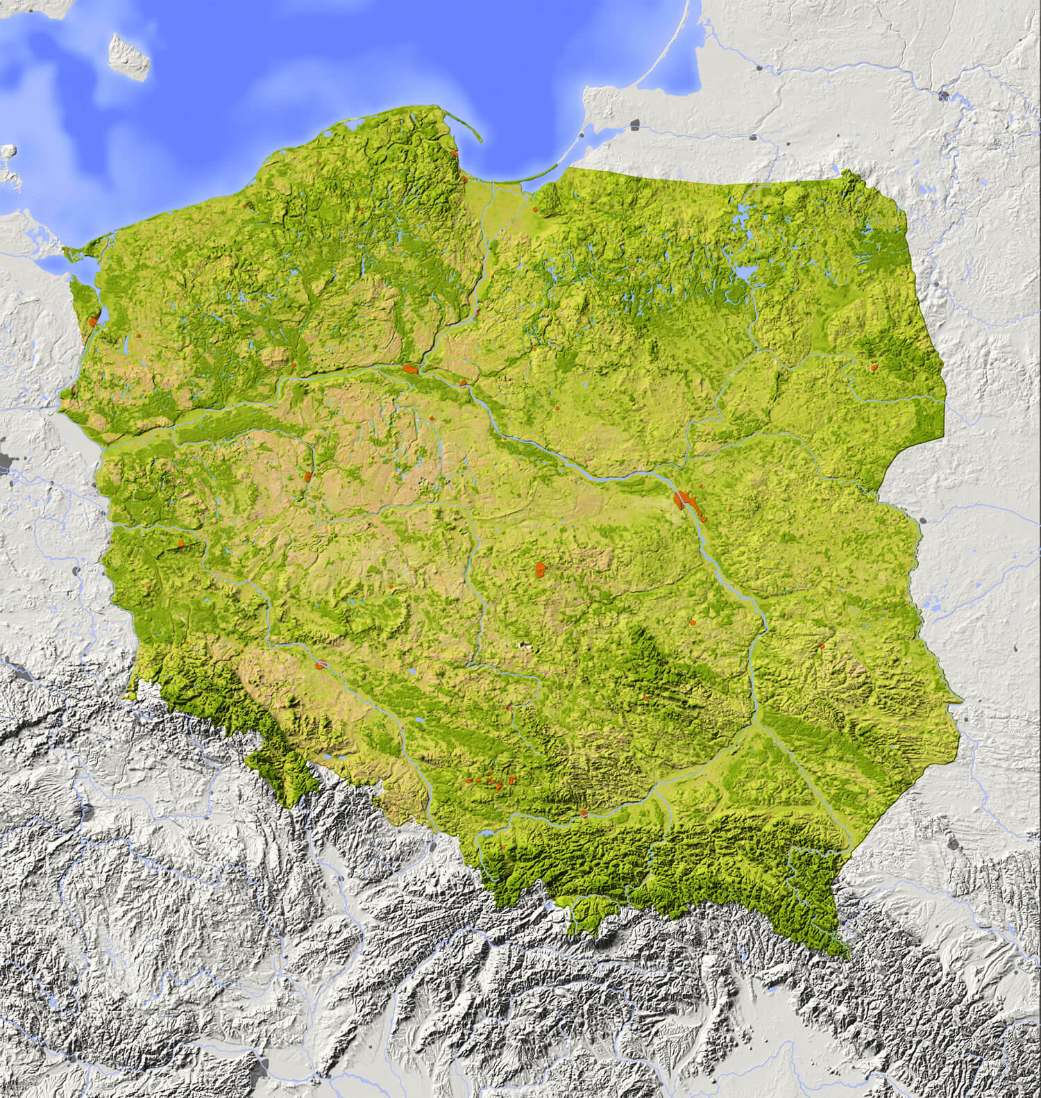
Poland Shaded relief map with major urban areas. Surrounding territory greyed out. Colored according to vegetation. Includes clip path for the state area.
Poland Relief Map
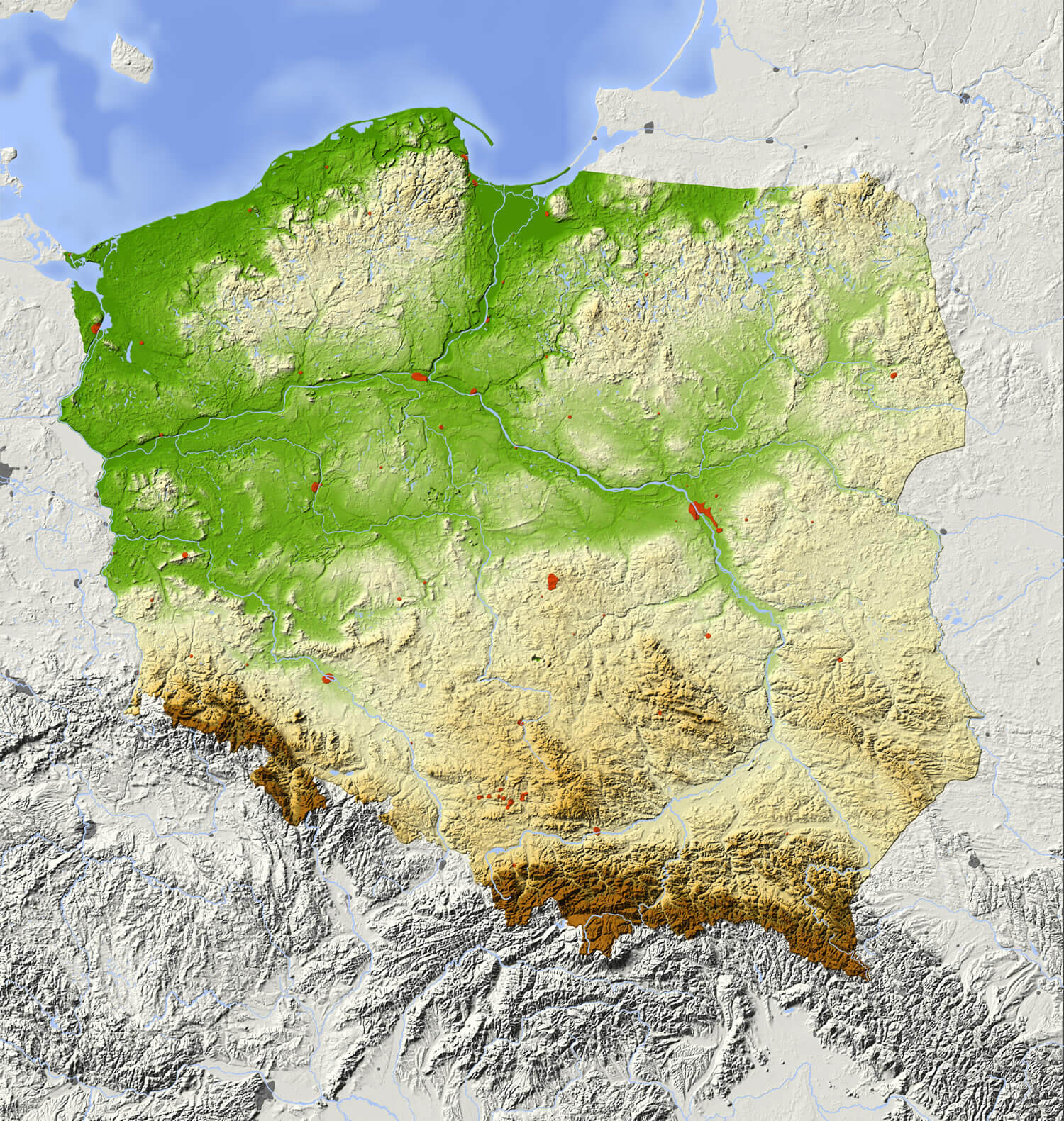
Poland relief map with major urban areas. Surrounding territory greyed out. Colored according to elevation. Includes clip path for the state area.
Poland Statistics Map
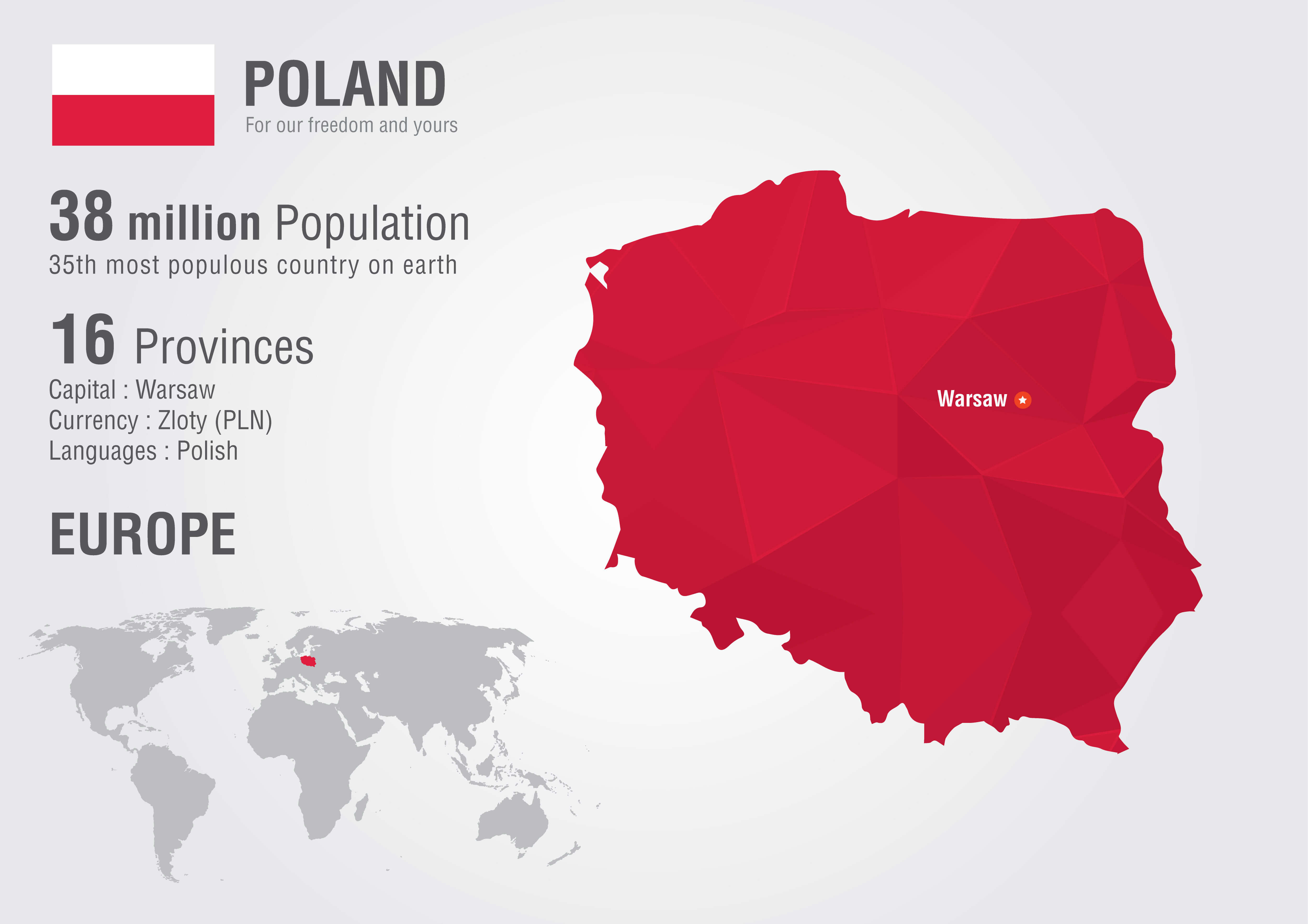
Poland statistics world map with a pixel diamond texture. World geography.
Poland Administrative Map
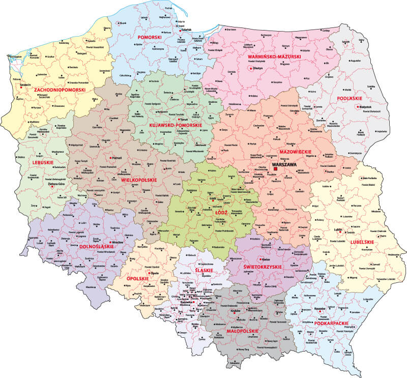
Poland Administrative Map with main cities and provinces.
Where is Poland on the Europe Map?
Show Google map, satellite map, where is the country located.
Get directions by driving, walking, bicycling, public transportation and travel with street view.
Feel free to explore these pages as well:
- Poland ↗️
- A Collection of Poland Maps ↗️
- Poland Photos ↗️
- Map of Poland ↗️
- Krakow’s Top 10 Best Attractions for Every Traveler ↗️
- A Collection of Germany Maps ↗️
- A Collection of Czechia Maps ↗️
- Europe Map ↗️
- Map of Europe ↗️
