- Advertisement -
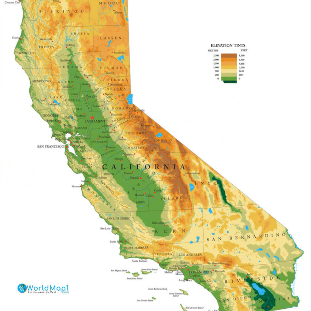
California’s physical geography is incredibly diverse, offering everything from soaring mountain ranges to vast deserts and fertile valleys. The state is defined by the majestic Sierra Nevada in the east, the rugged Coastal Ranges in the west, and the vast Central Valley in between. California maps highlight features such as the San Andreas Fault, the Mojave Desert and iconic rivers such as the Sacramento and San Joaquin, which flow through the heart of California.
California Physical Map
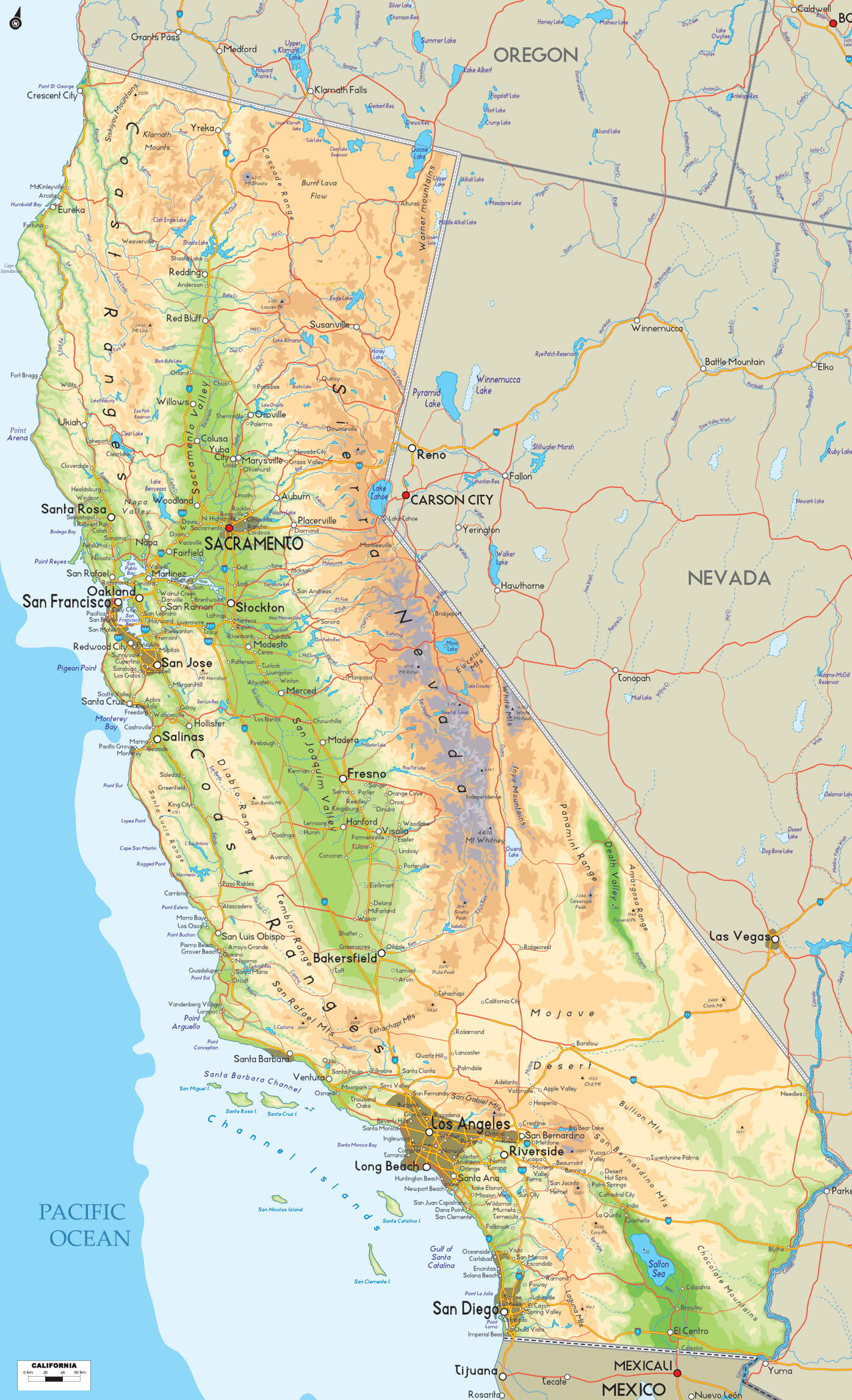 California Physical map shows topography, cities, and geographic features.
California Rivers Map
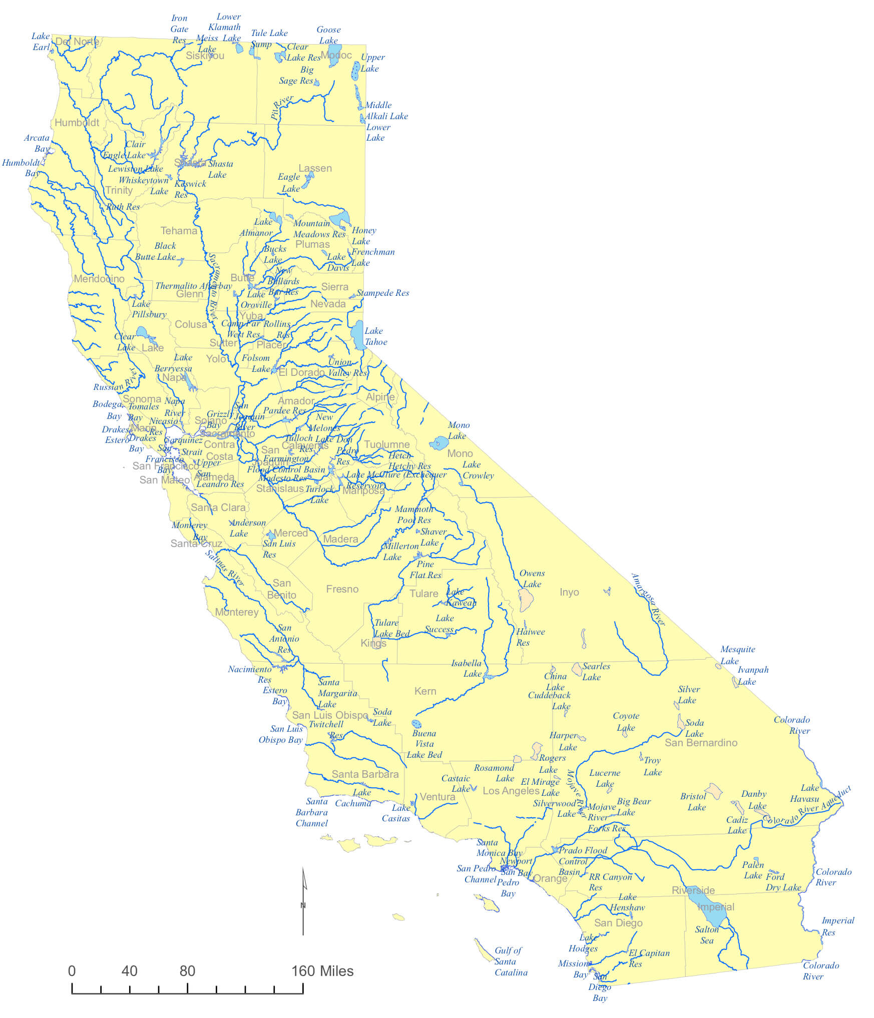 Map of California rivers highlighting major waterways and their flow directions
California National Parks and Trails
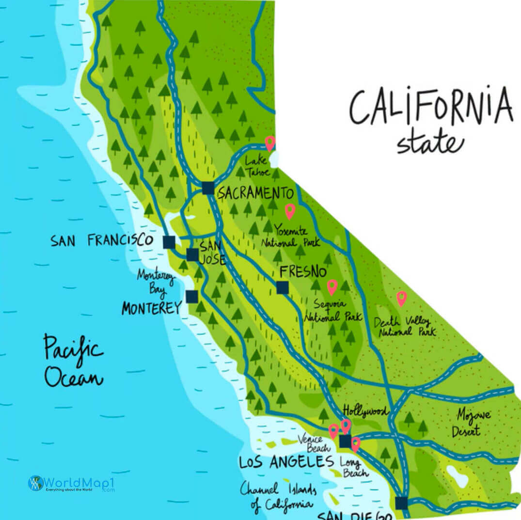 California national park and trails
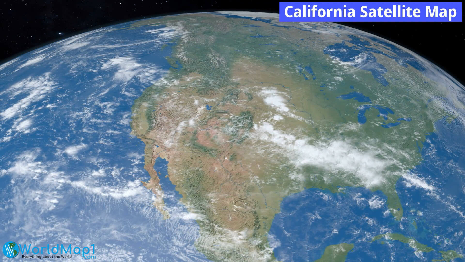
California satellite map from space
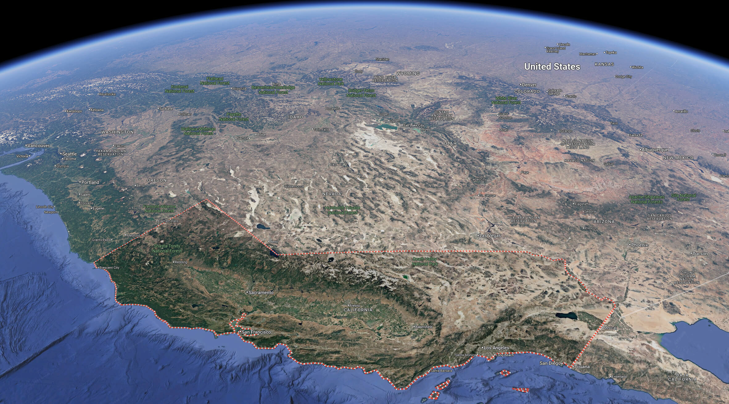
California Satellite Map with Baja California
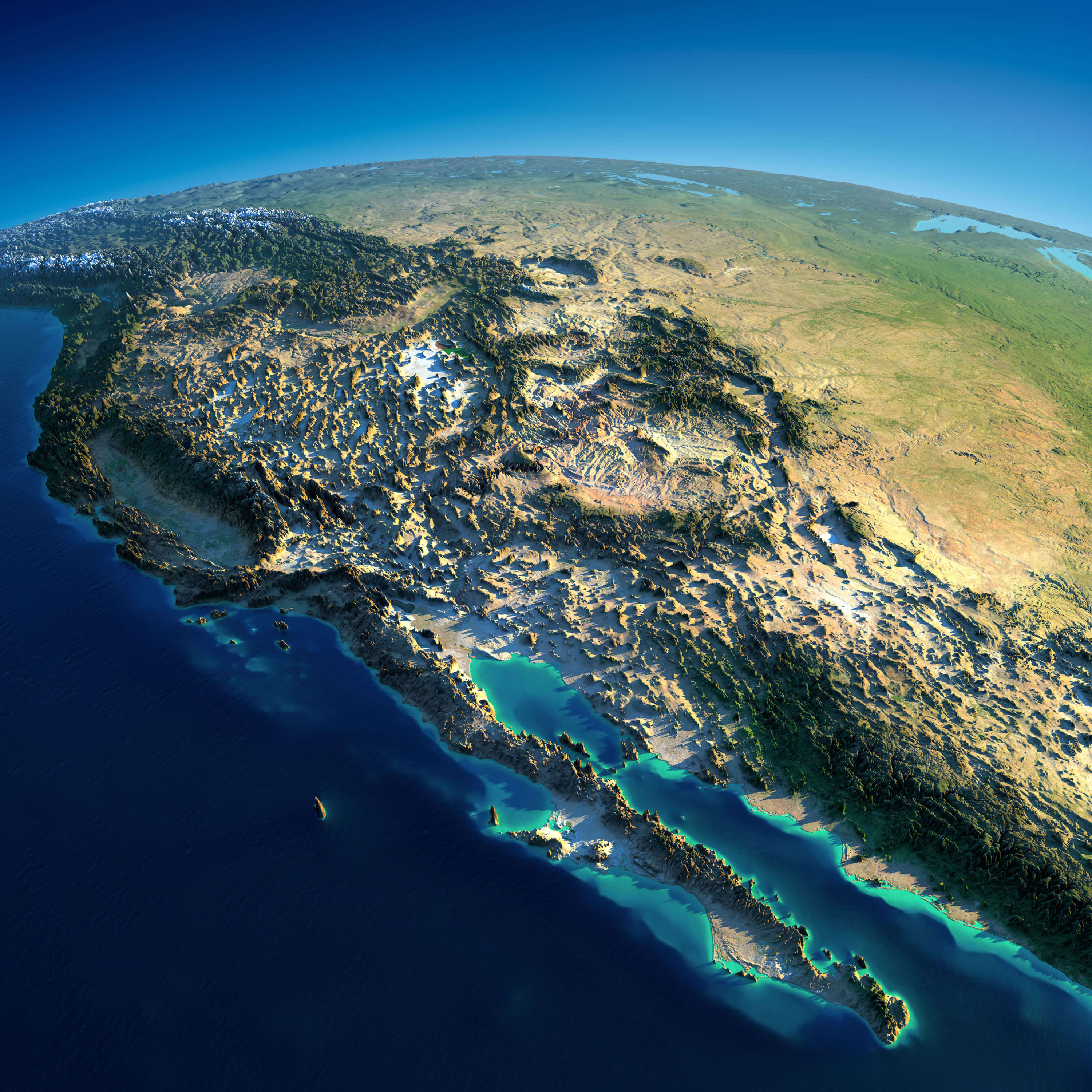 Satellite view of California and Baja California showing terrain and coastal features.
California Physical Map with Valleys and Deserts
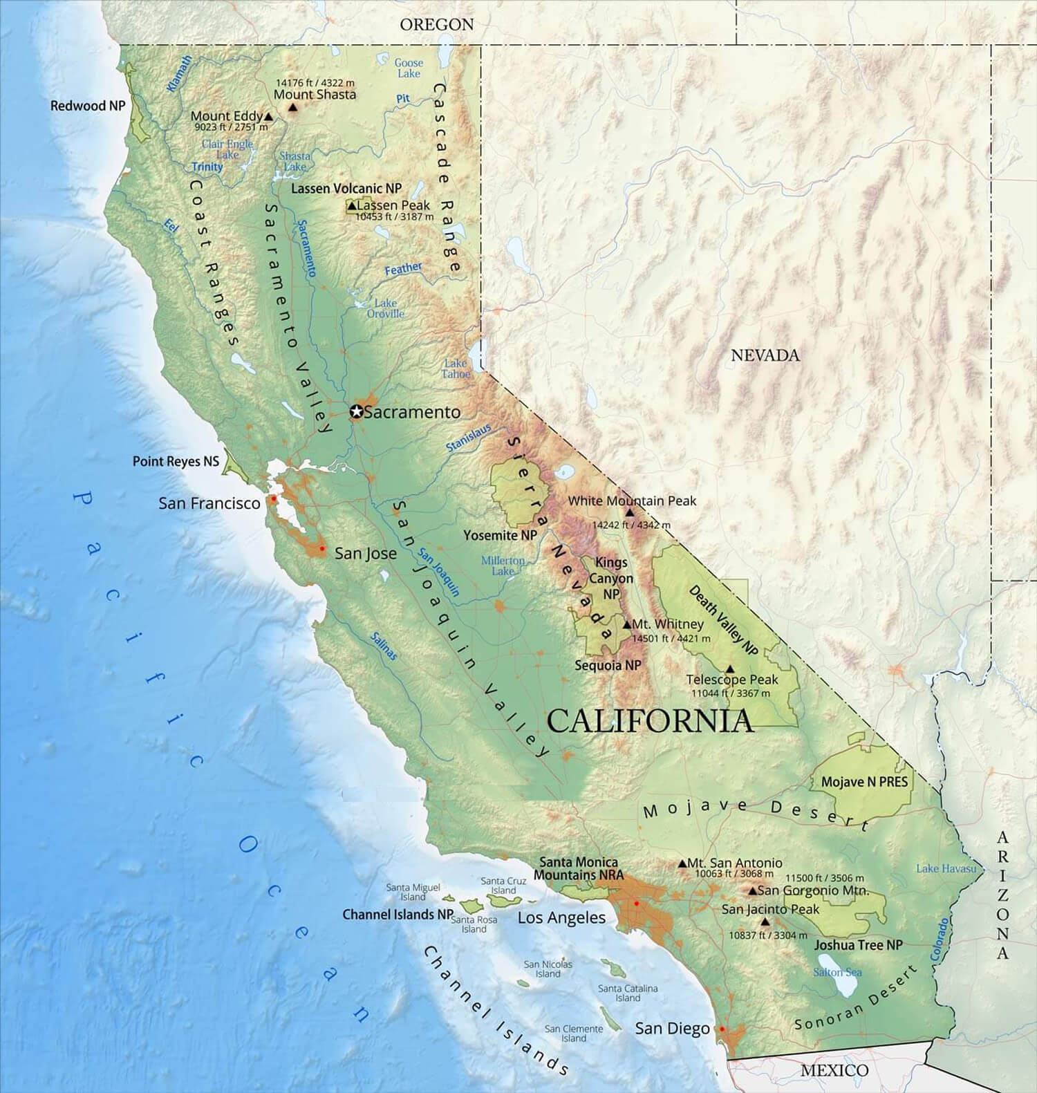 California Physical map highlighting valleys, deserts, and geographic features.
California Rivers and Lakes Map
 Map of California showing major rivers, lakes, and water bodies
California Physical map with mountains
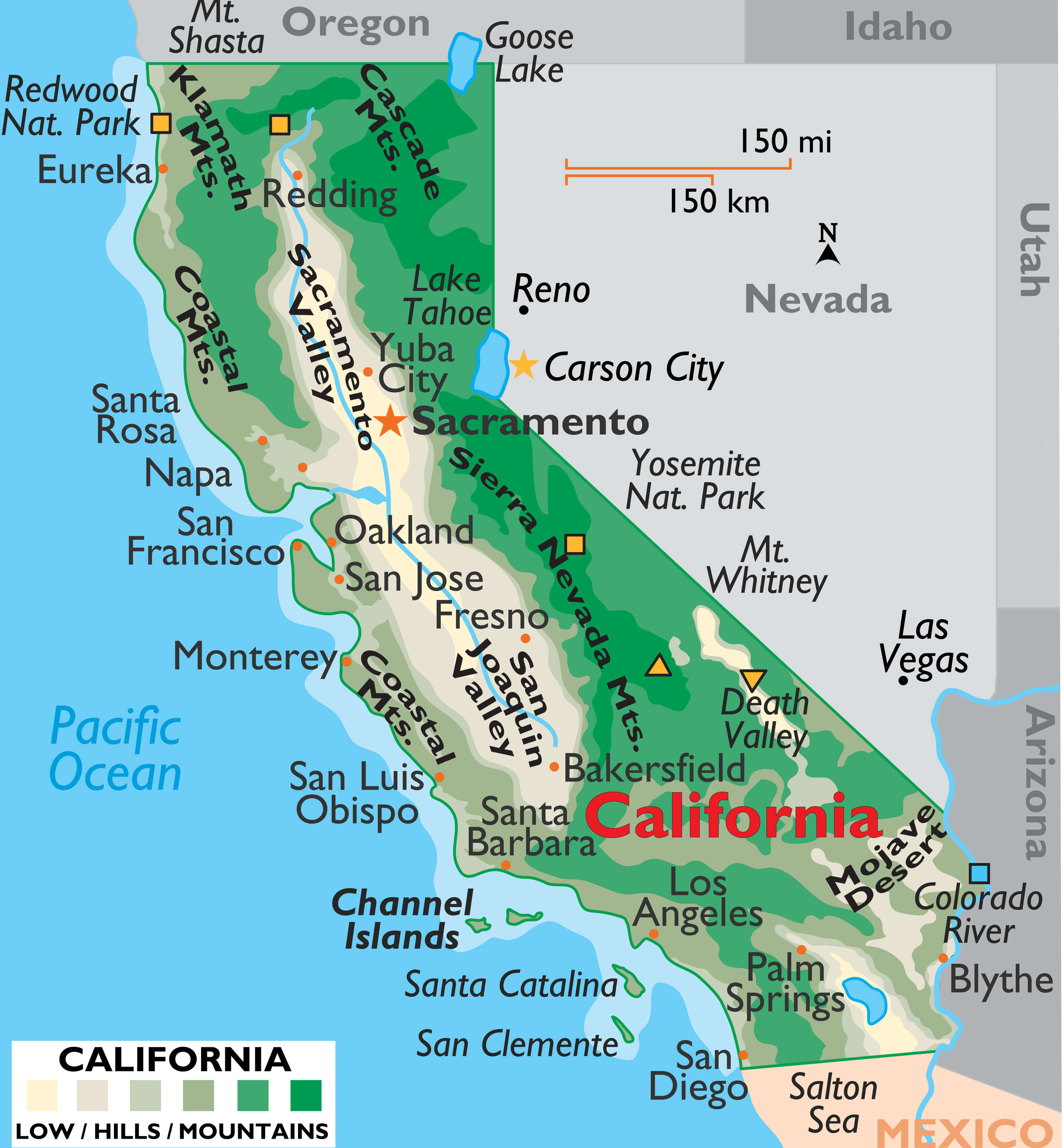
California mountain ranges map
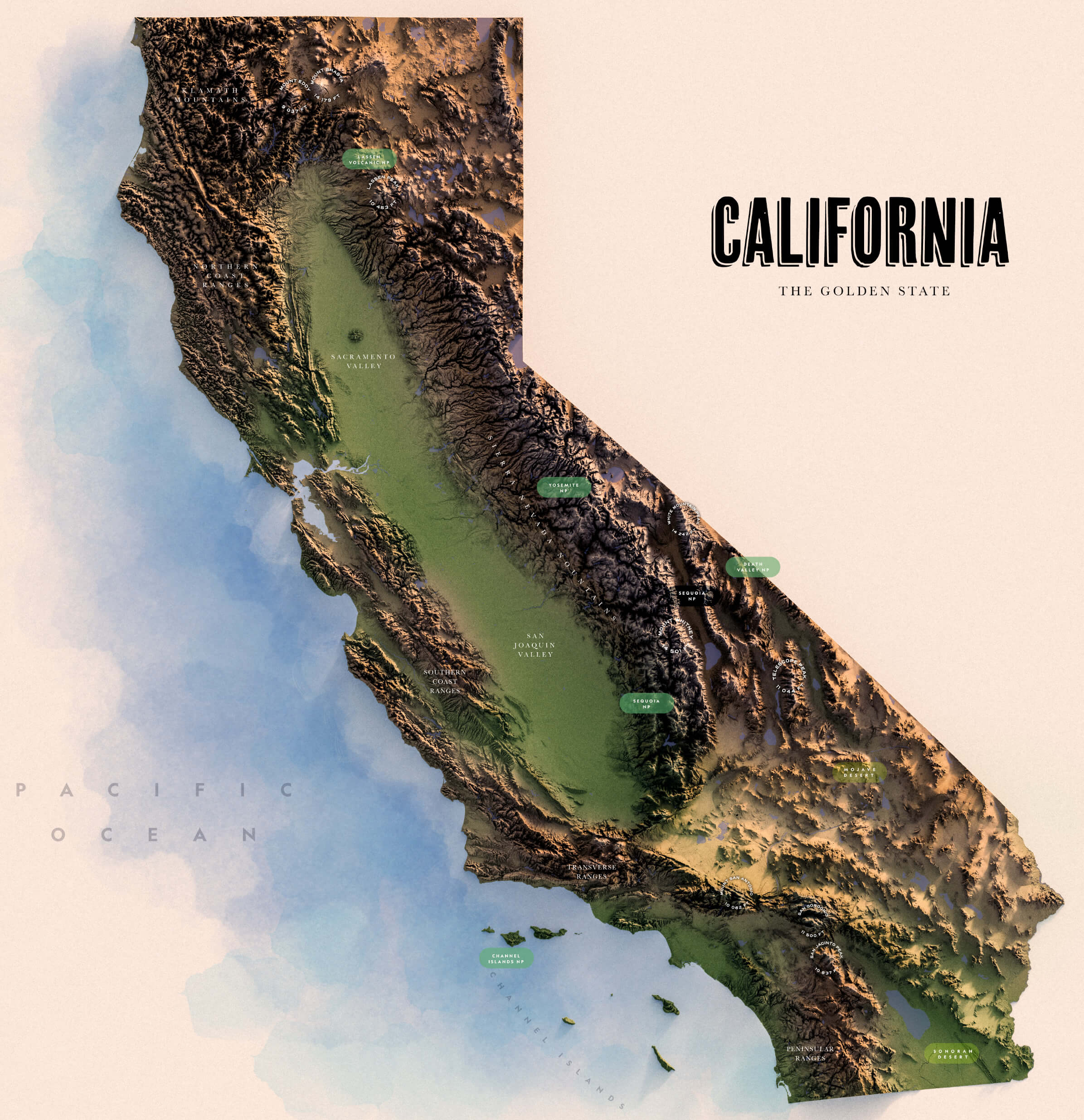
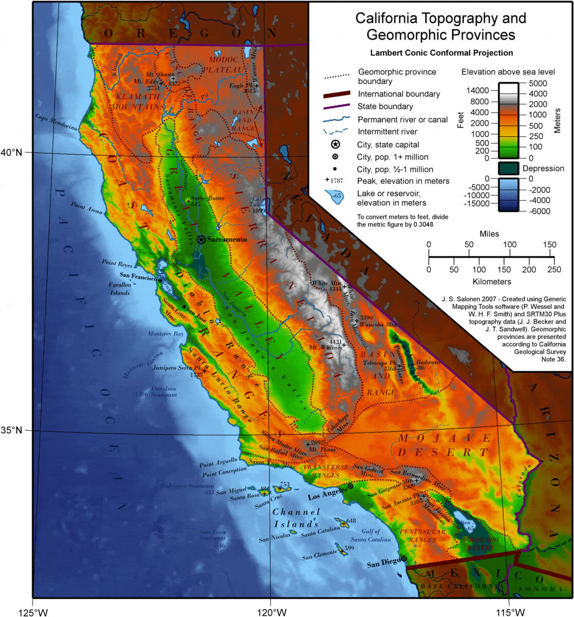
California topography map
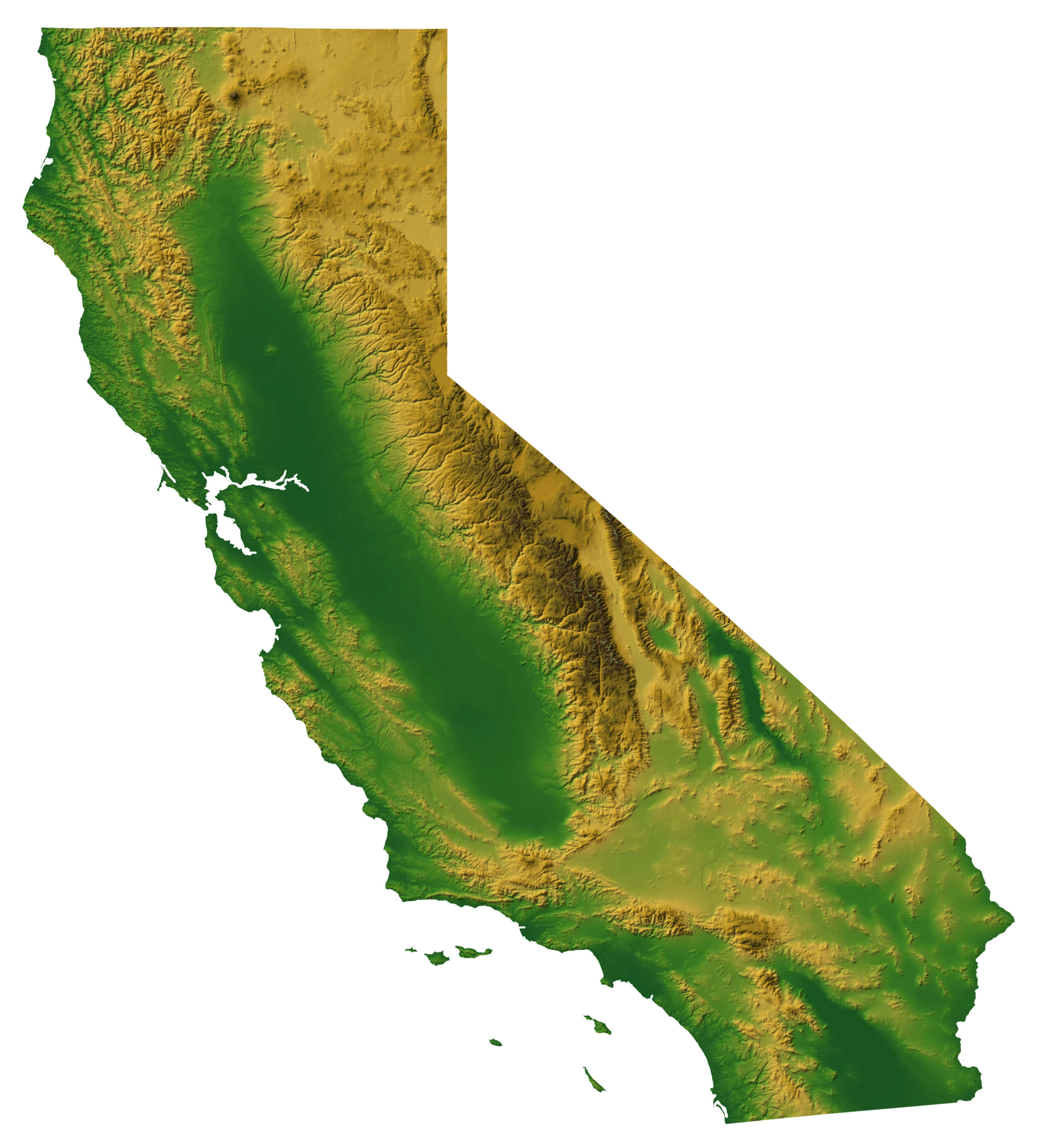
California topography and geomorphic map
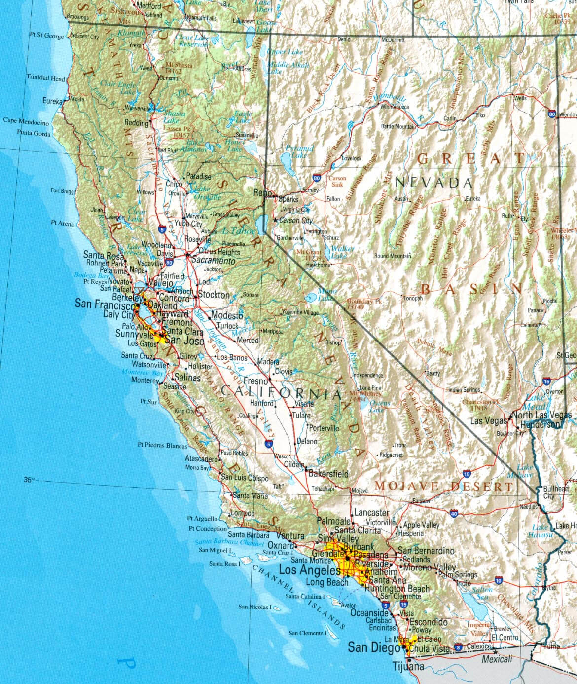
Physical map of California with cities
California satellite image
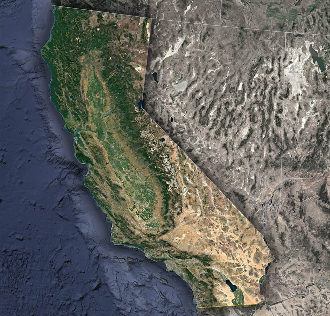
California satellite view from space
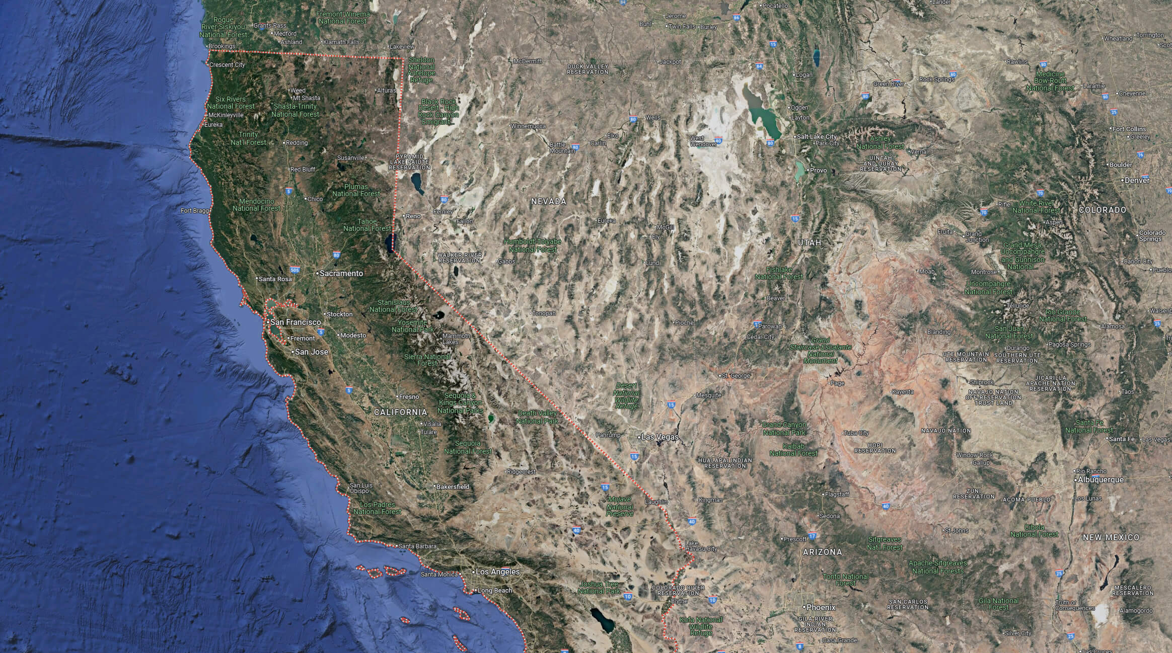
California terrain map
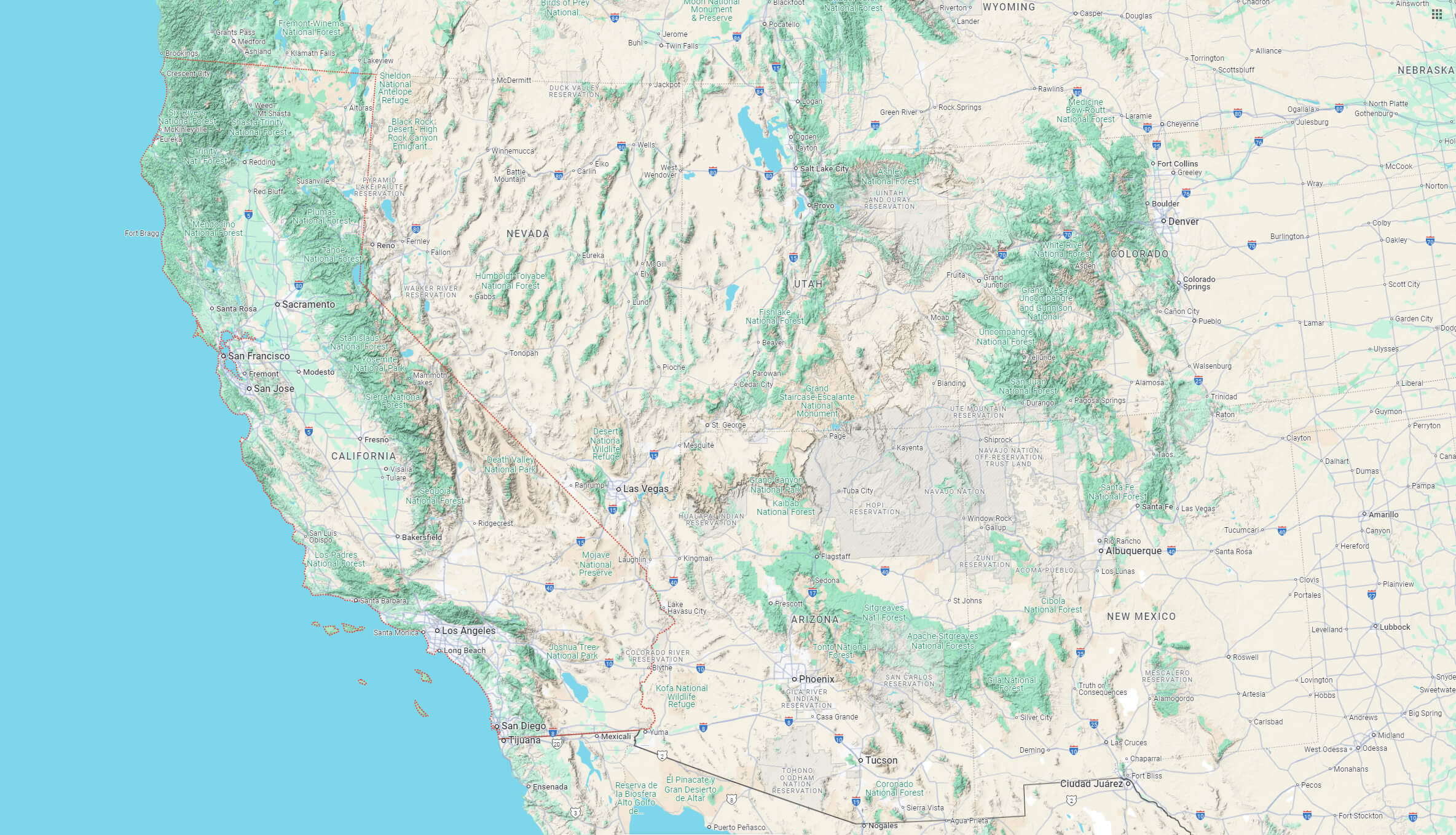
California Physical map with western US
California Wildfire Map in January 2025
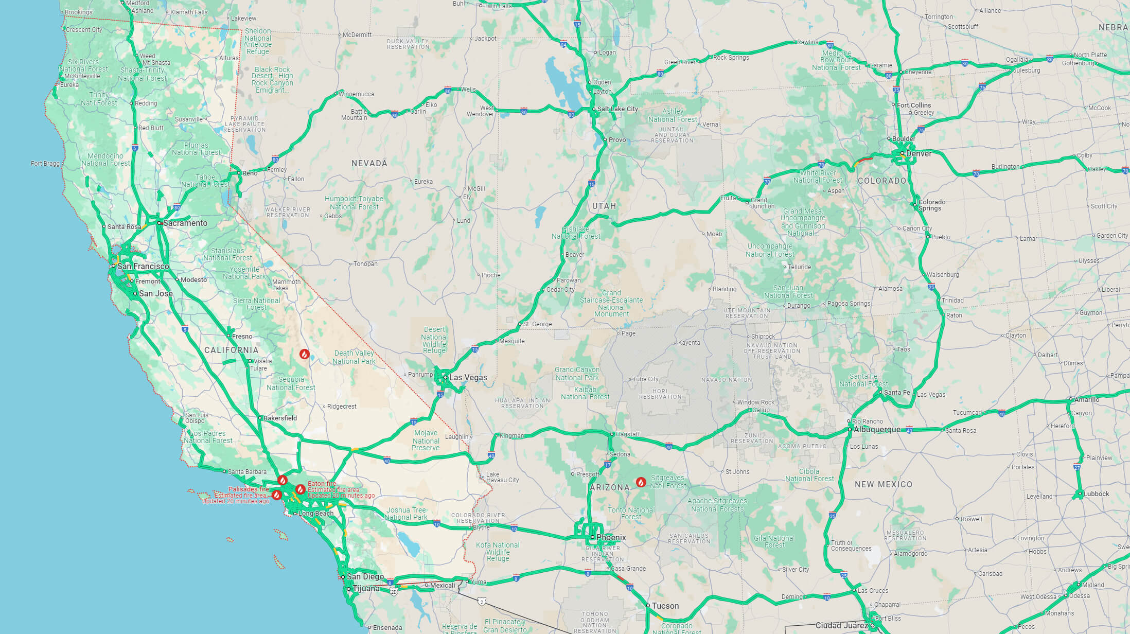 Map showing active California wildfires and affected areas in January 2025.
Physical map of California
California Satellite Map: A Detailed View
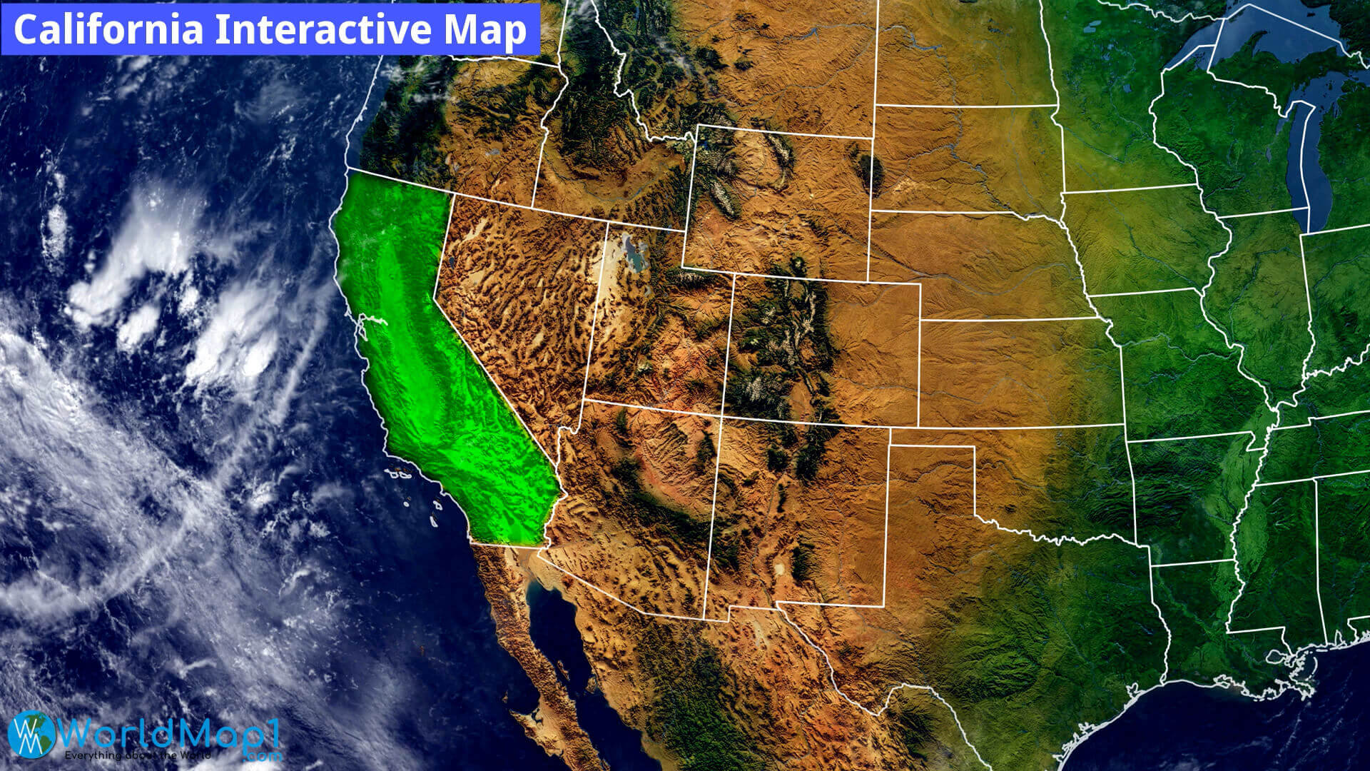 Satellite map showcasing California and surrounding states with geographic details.
Köppen Climate Types in California

California satellite map in the night
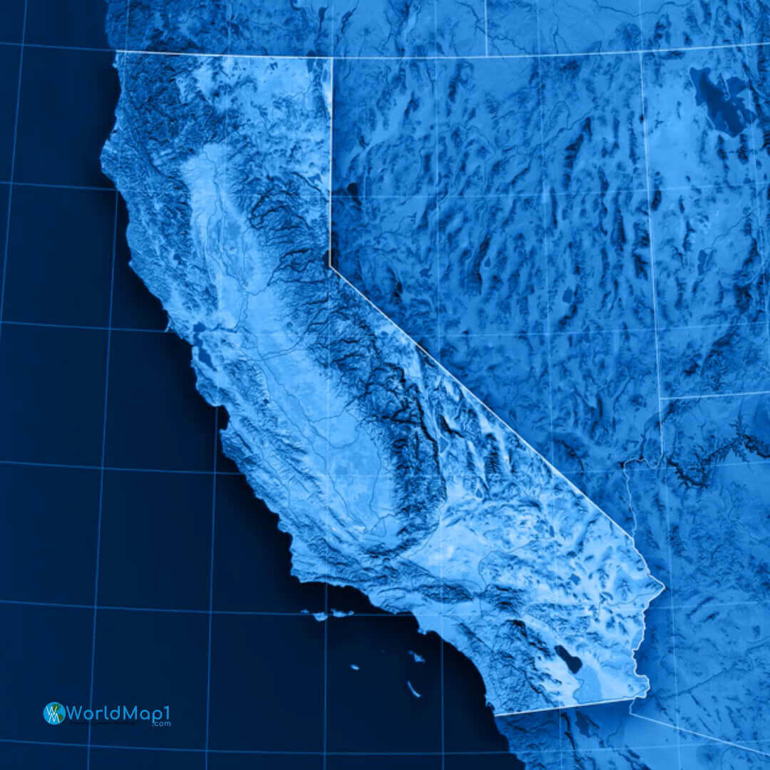
California earth satellite map
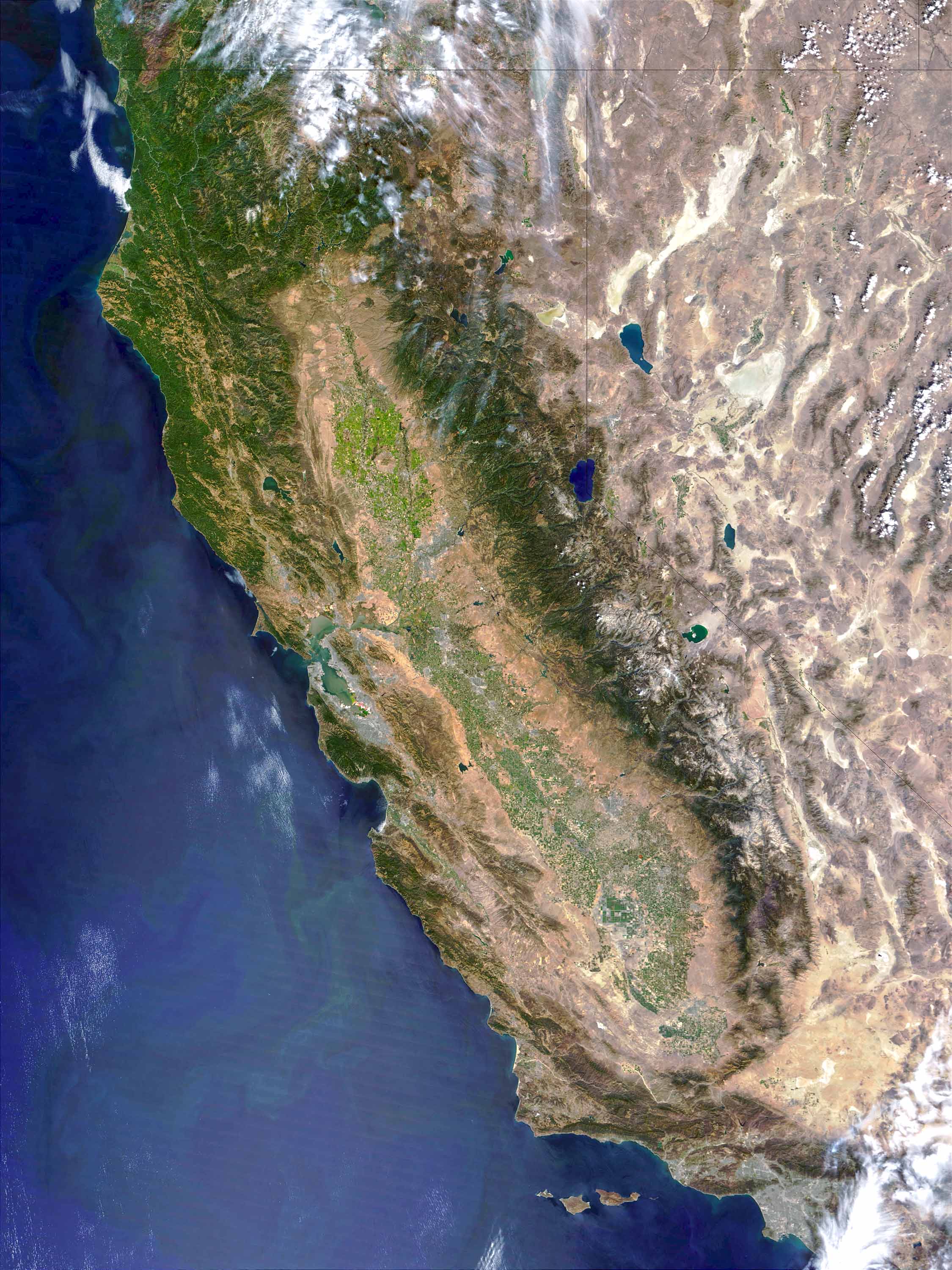
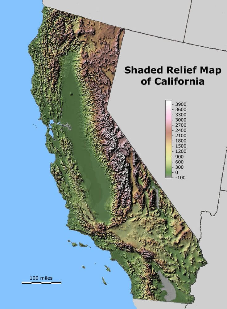
Shaded Relif Map of California
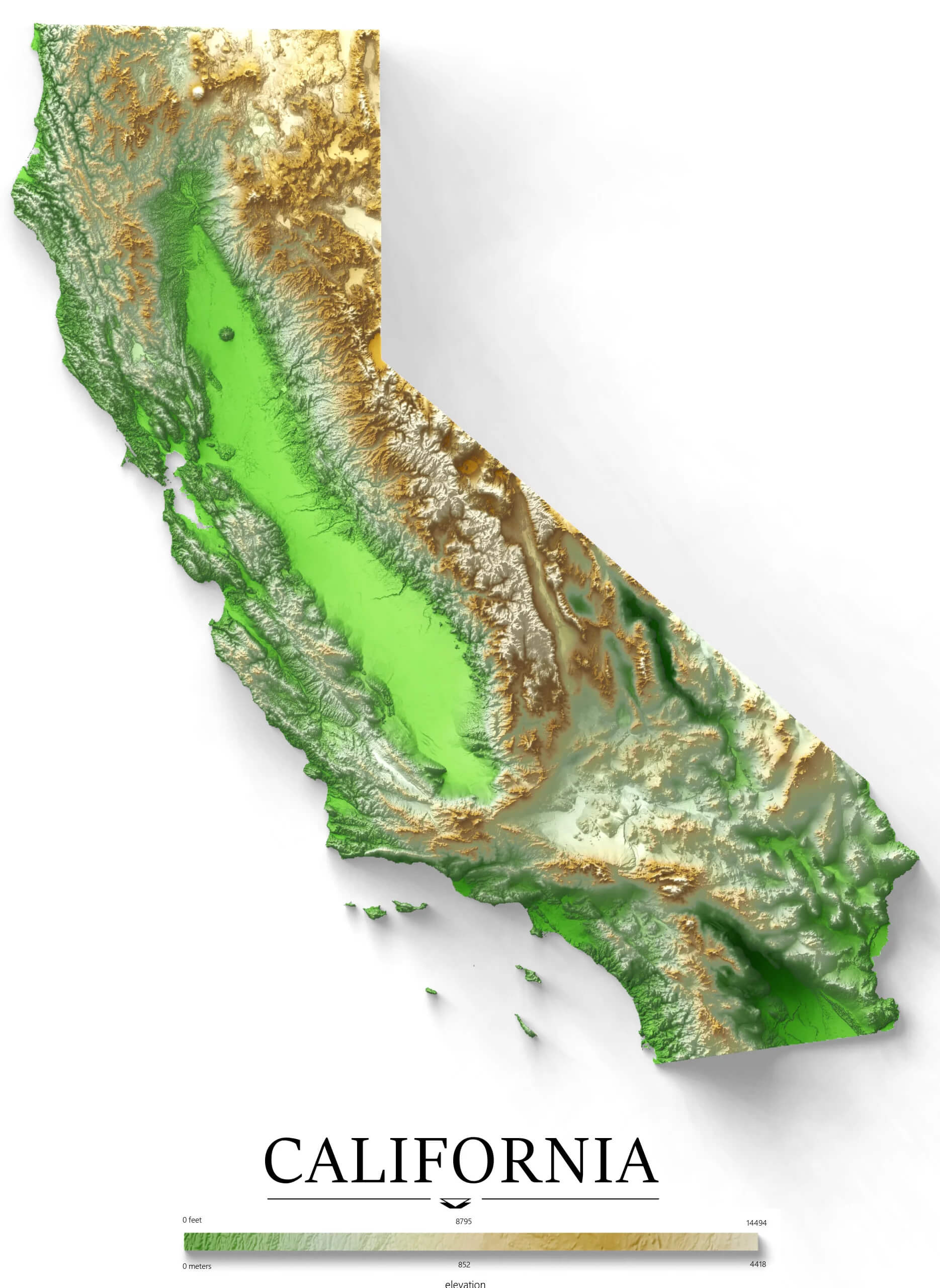
California Elevation Map
Where is California on the United States Map?
Show Google map, satellite map, where is the country located.
Get directions by driving, walking, bicycling, public transportation and travel with street view.
Feel free to explore these pages as well:
- California Map ↗️
- Map of California↗️
- California County Map ↗️
- California Political Map ↗️
- California Cities Map ↗️
- California Road Map ↗️
- California Population Map ↗️
- California Time Zone Map ↗️
- A Collection of California Maps ↗️
- Los Angeles Map ↗️
- LA Fires January 2025 ↗️
- Discovering Los Angeles ↗️
- Discover the California: A Vibrant Journey through Golden State ↗️
- United States Map ↗️
- Map of United States ↗️
- North America Map ↗️
- Advertisement -
