- Advertisement -
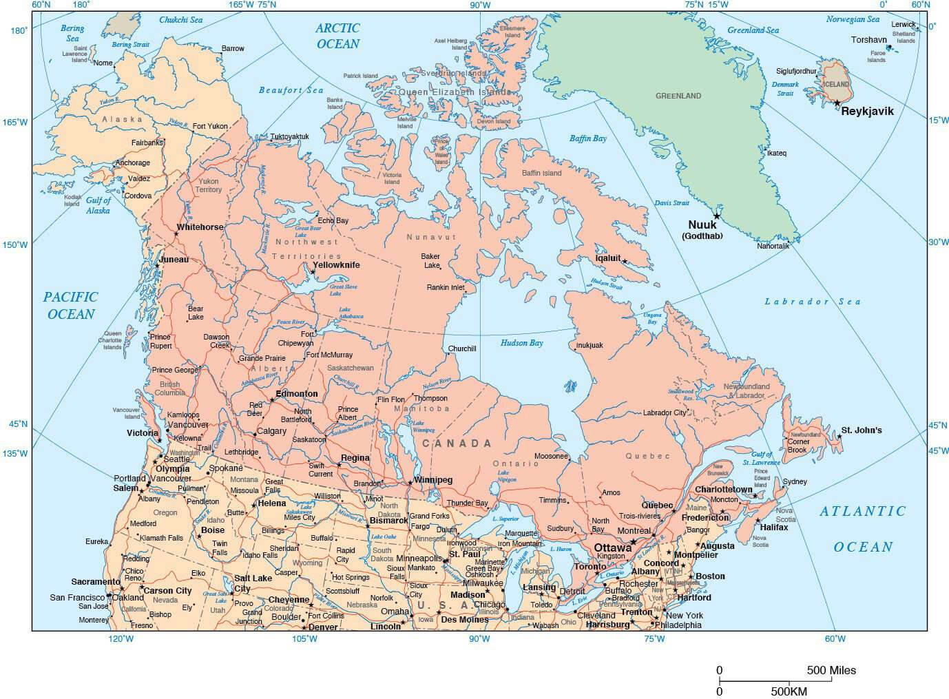
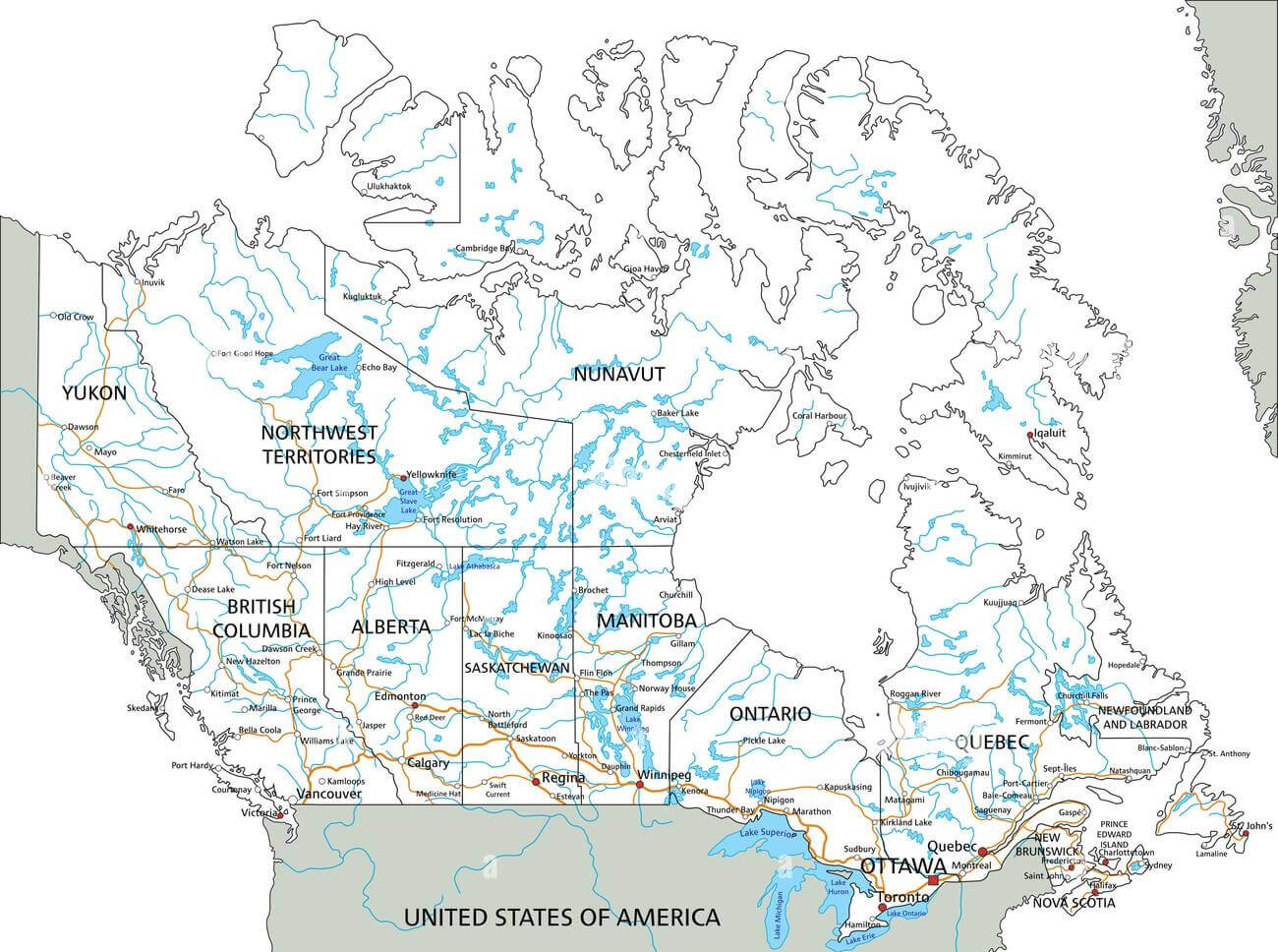
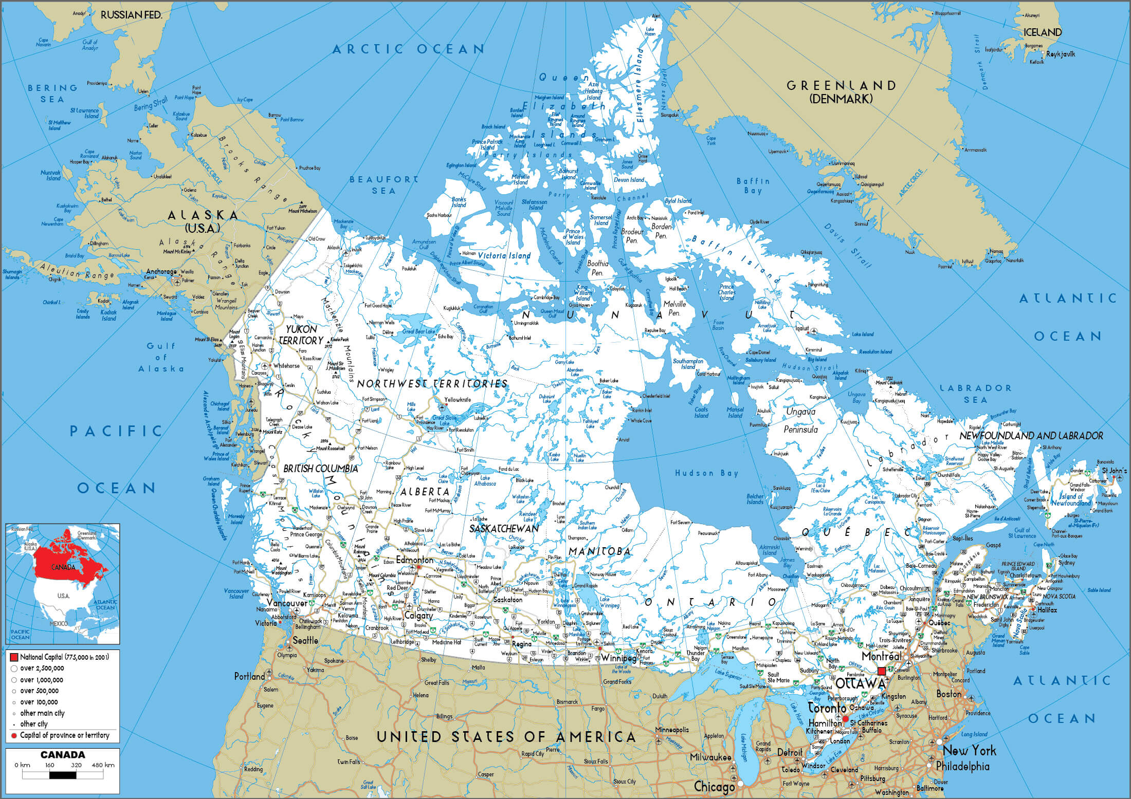
Explore Canada’s detailed road network with this comprehensive travel map. Includes highways connecting major cities, national railways, rivers, lakes and subway lines in major urban centres. Discover the country’s extensive transportation system, from cross-country railways to major highways and waterways, perfect for planning your trip across Canada.
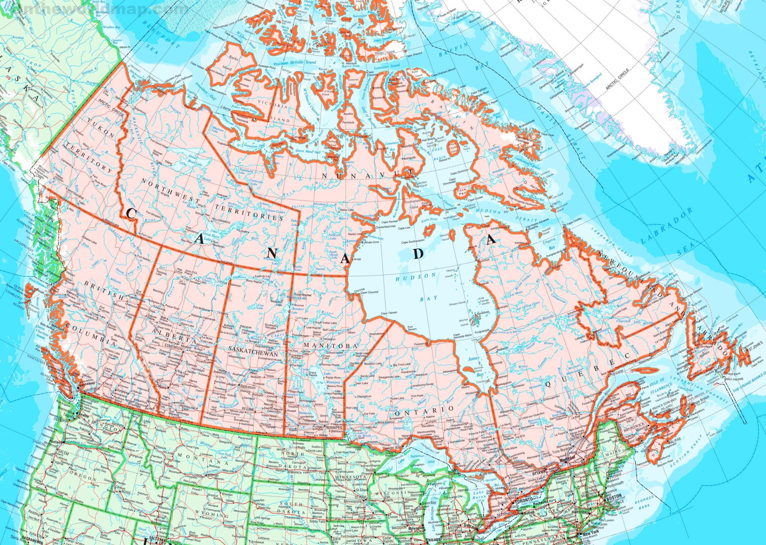
Canada Road, Railroad, and Rivers Map with Provinces
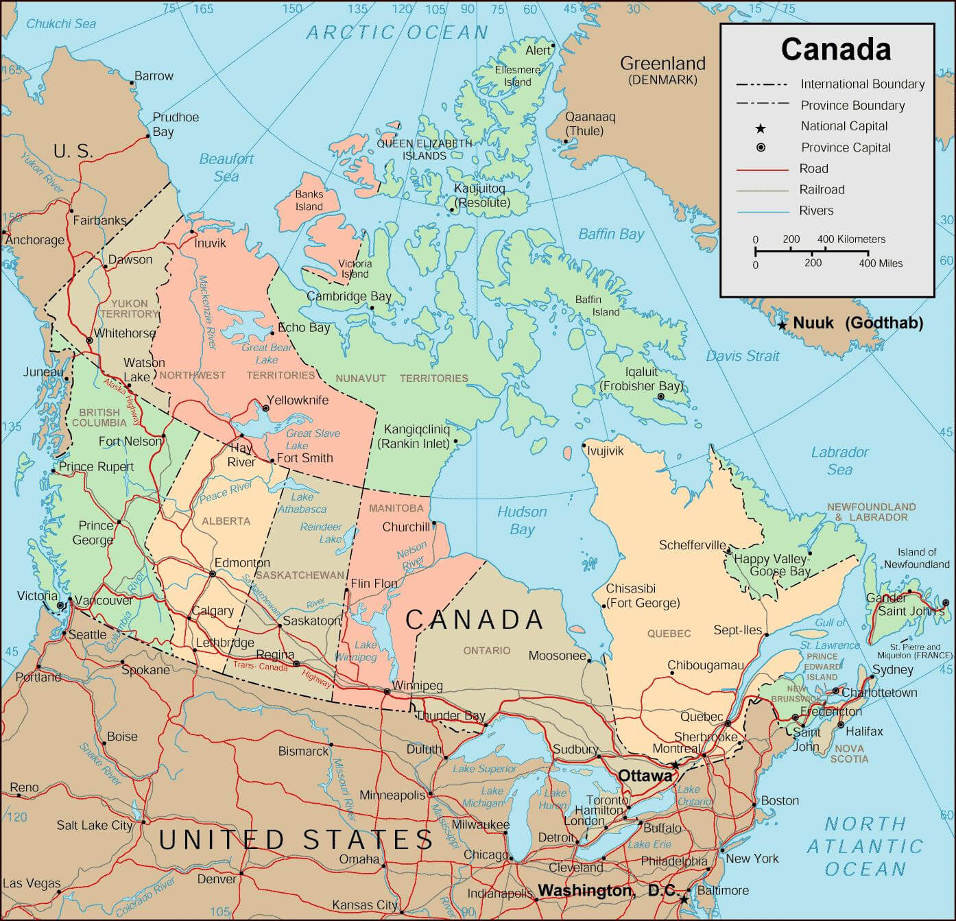 Canada map showing roads, railroads, rivers, and provincial boundaries.
Canada Ferry Routes Map – Vancouver to Seattle
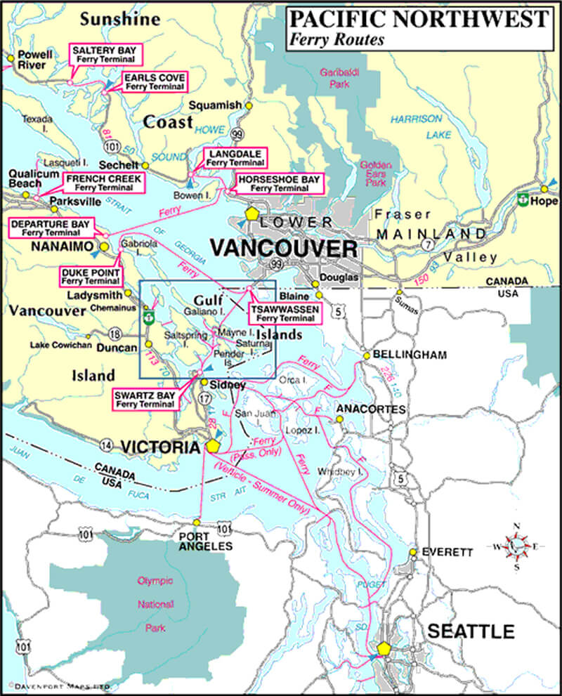 Pacific Northwest ferry routes map between Vancouver, Victoria, and Seattle.
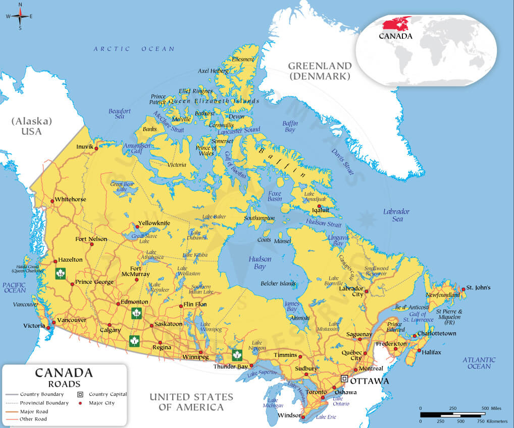
Canada Roads and Highways Map – Major Routes and Cities
Trans-Canada Highway Route Map – Major Routes Across Canada
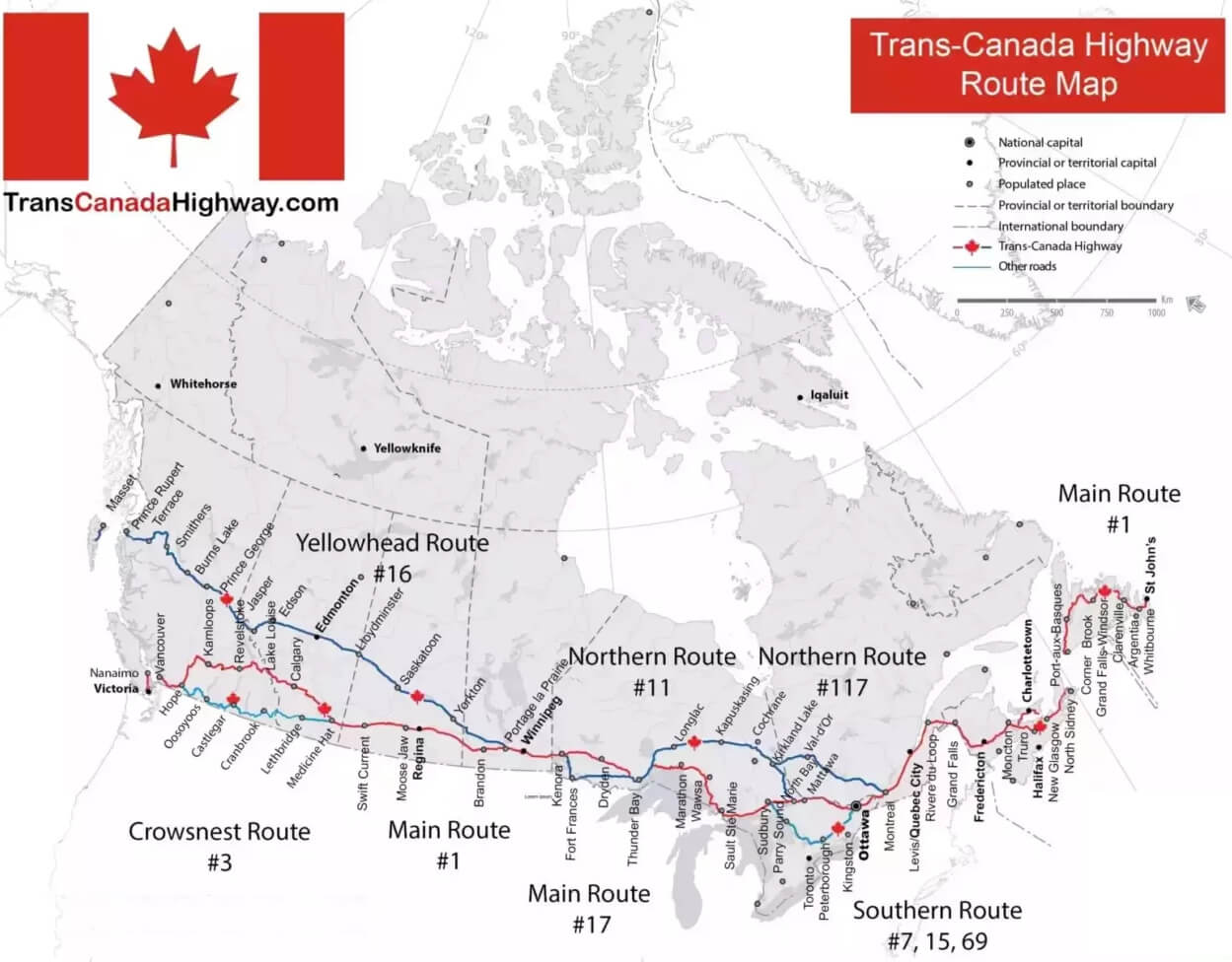 Trans-Canada Highway route map with main, northern, and southern routes.
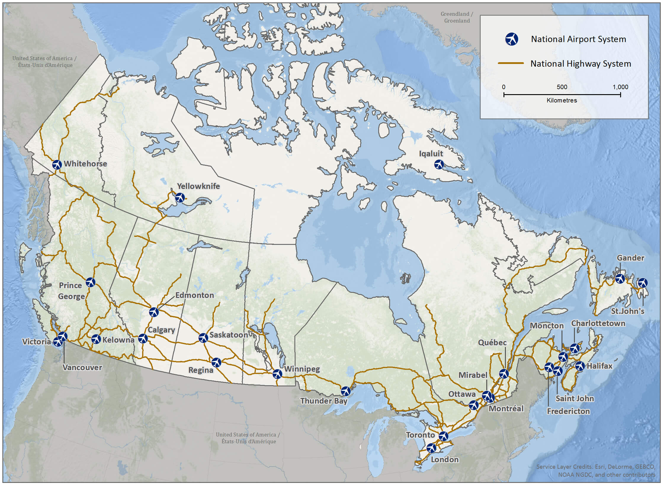
Canada national highway system and airports
Canada railway network map
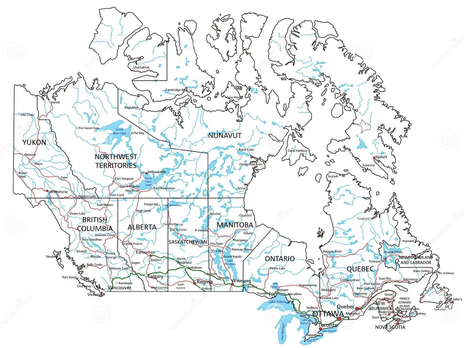
Canada road and highway map
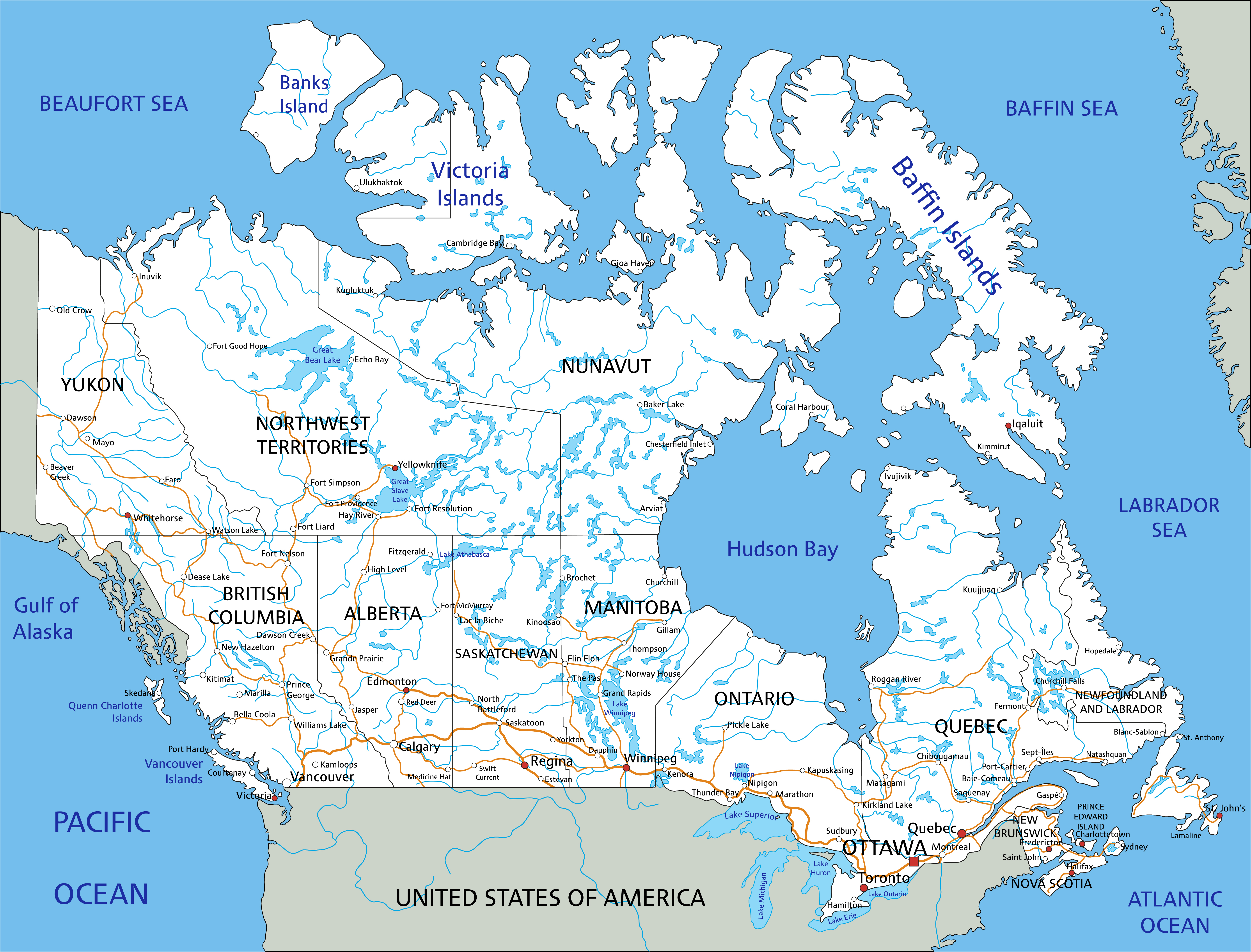
Canada road map with cities rivers and lakes
Canada road map with cities
Canada road map with major cities
Canada road map with rivers and ferry lines
Canada road map
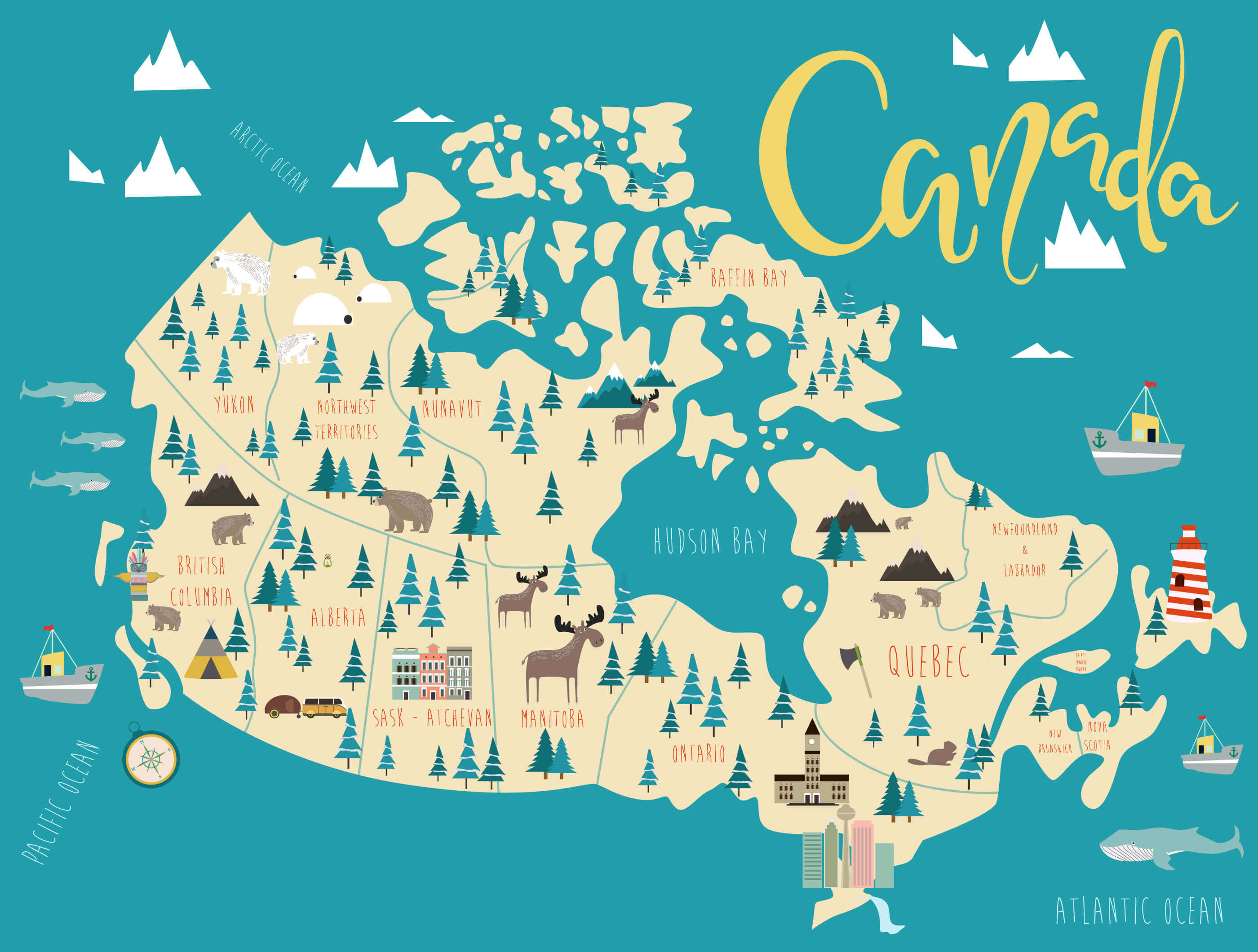
Canada travel map
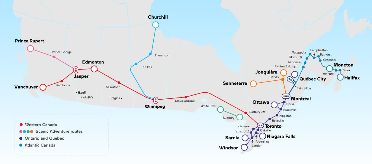
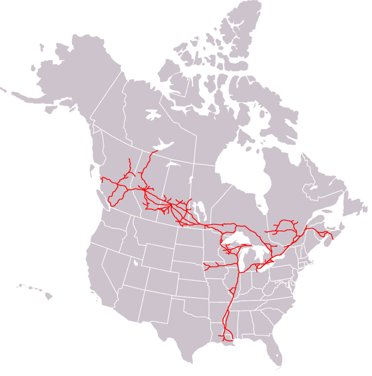
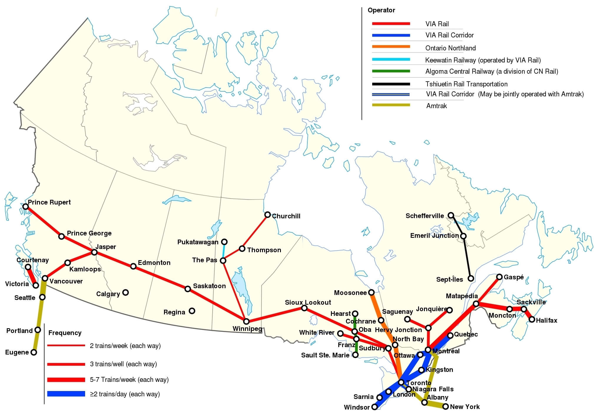
Canadian national railway map
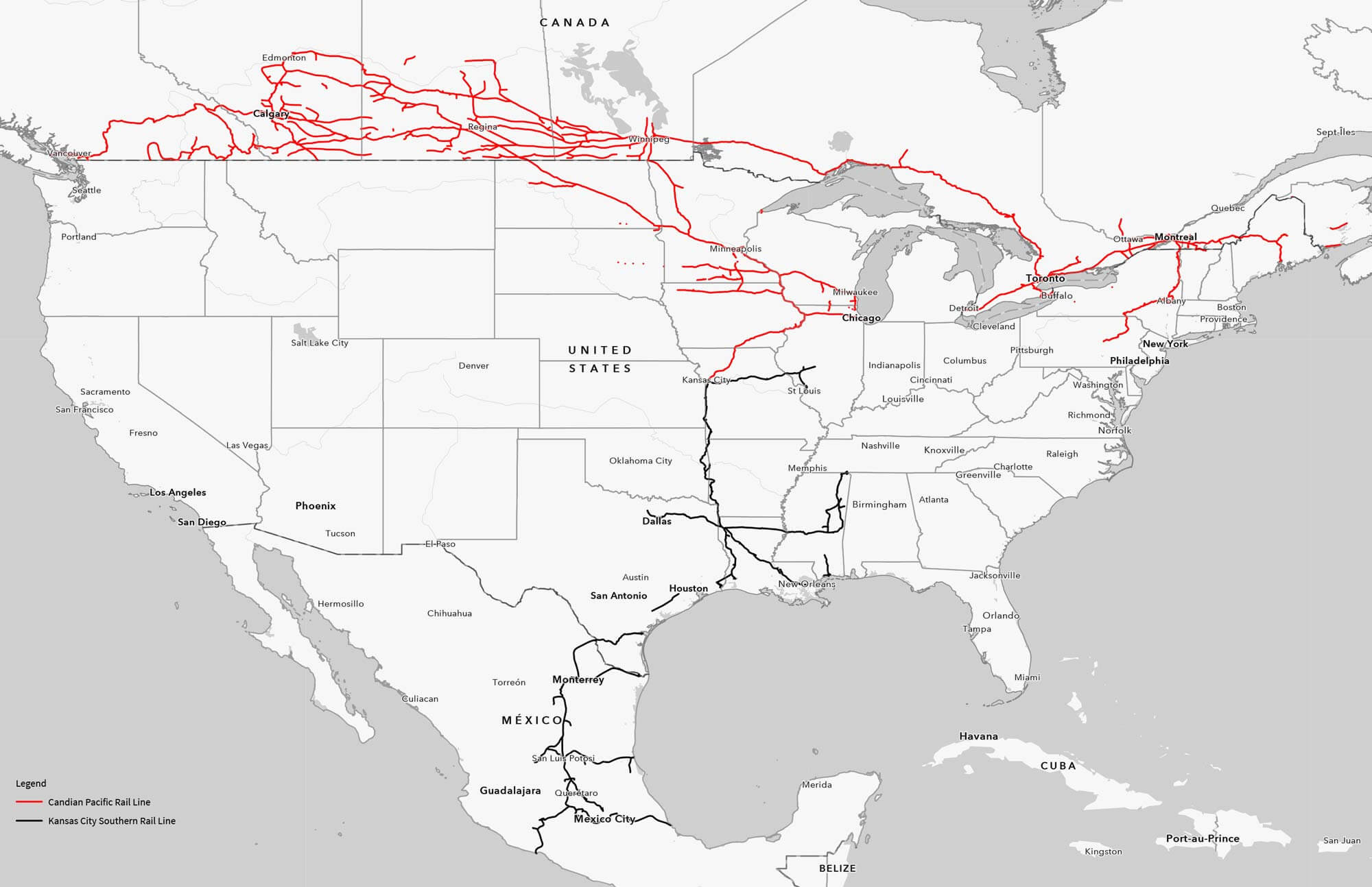
Canadian Pacific railway map
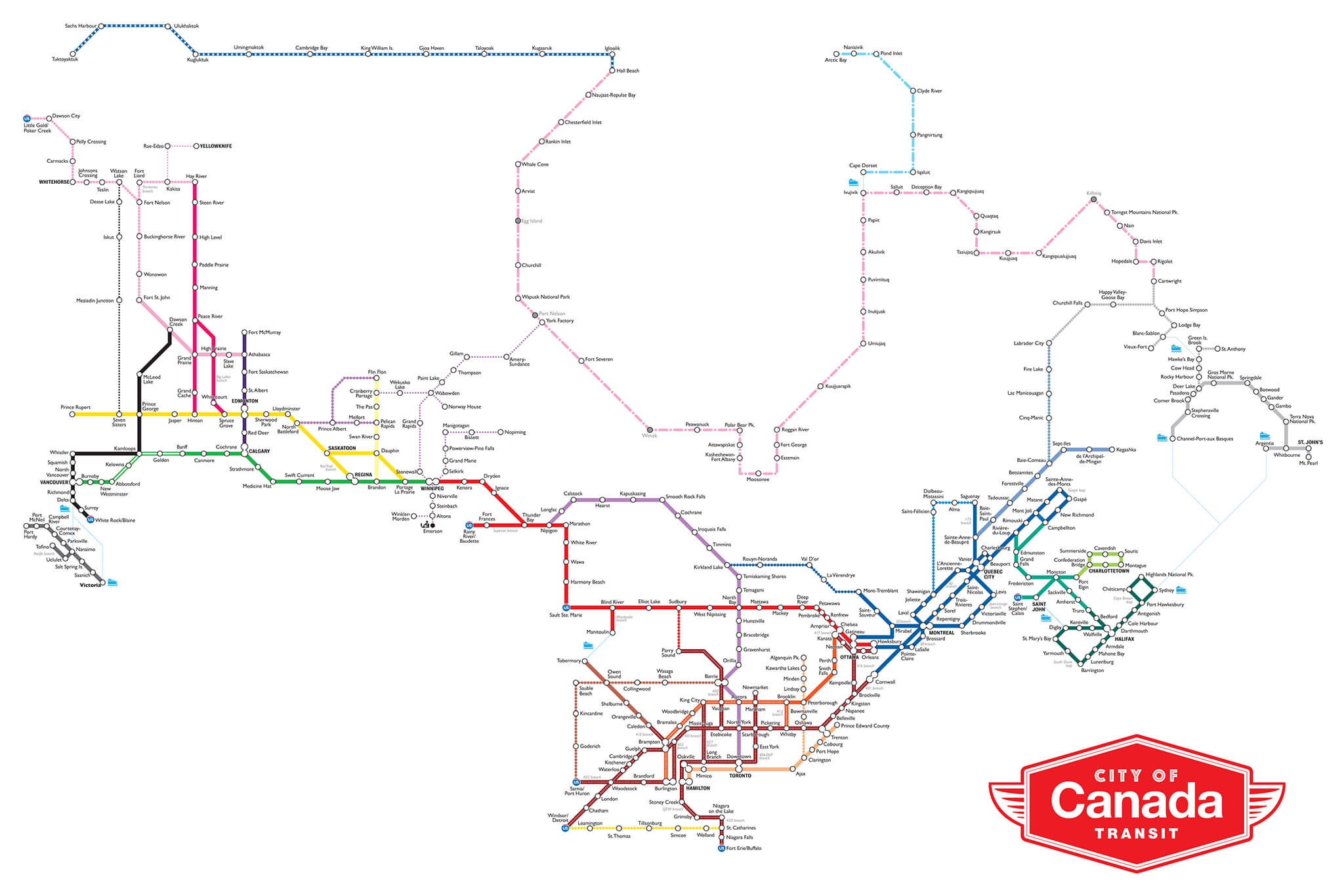
City of Canada transit map
Railway map of Canada
Where is Canada on North America Map?
Show Google interactive map, satellite map, where is the country located.
Get direction by driving, walking, bicycling, public transportation and travel with street view.
Feel free to explore these pages as well:
- Canada Map ↗️
- Map of Canada ↗️
- A Collection of Canada Maps ↗️
- Canada Political Map ↗️
- Canada Physical Map ↗️
- Canada Cities Map ↗️
- Canada Population Map ↗️
- Canada’s Largest Maps ↗️
- Vancouvers top 10 places to visit ↗️
- Montreal’s Top 10 Best Can’t-Miss Experiences for Tourists ↗️
- 10 must visit cities from the 2023 liveability index ↗️
- United States Map ↗️
- North America Map ↗️
- Advertisement -