A collection maps of Michigan; View a variety maps of Michigan physical, political, relief map. Satellite image of Michigan, higly detalied maps, blank map of Michigan, USA and Earth. And find more Michigan’s country, regions, topography, cities, road, rivers, national, directions maps and United States atlas.
State Map of Michigan, USA
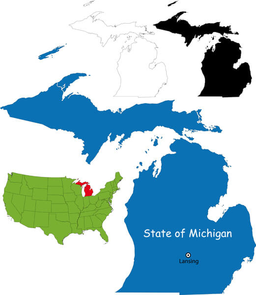
State Map of Michigan, with USA country map.
Detroit Map, Michigan
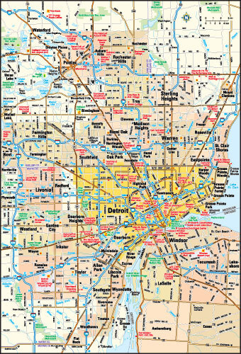
Detroit, Michigan area map, US.
Michigan Locate Map
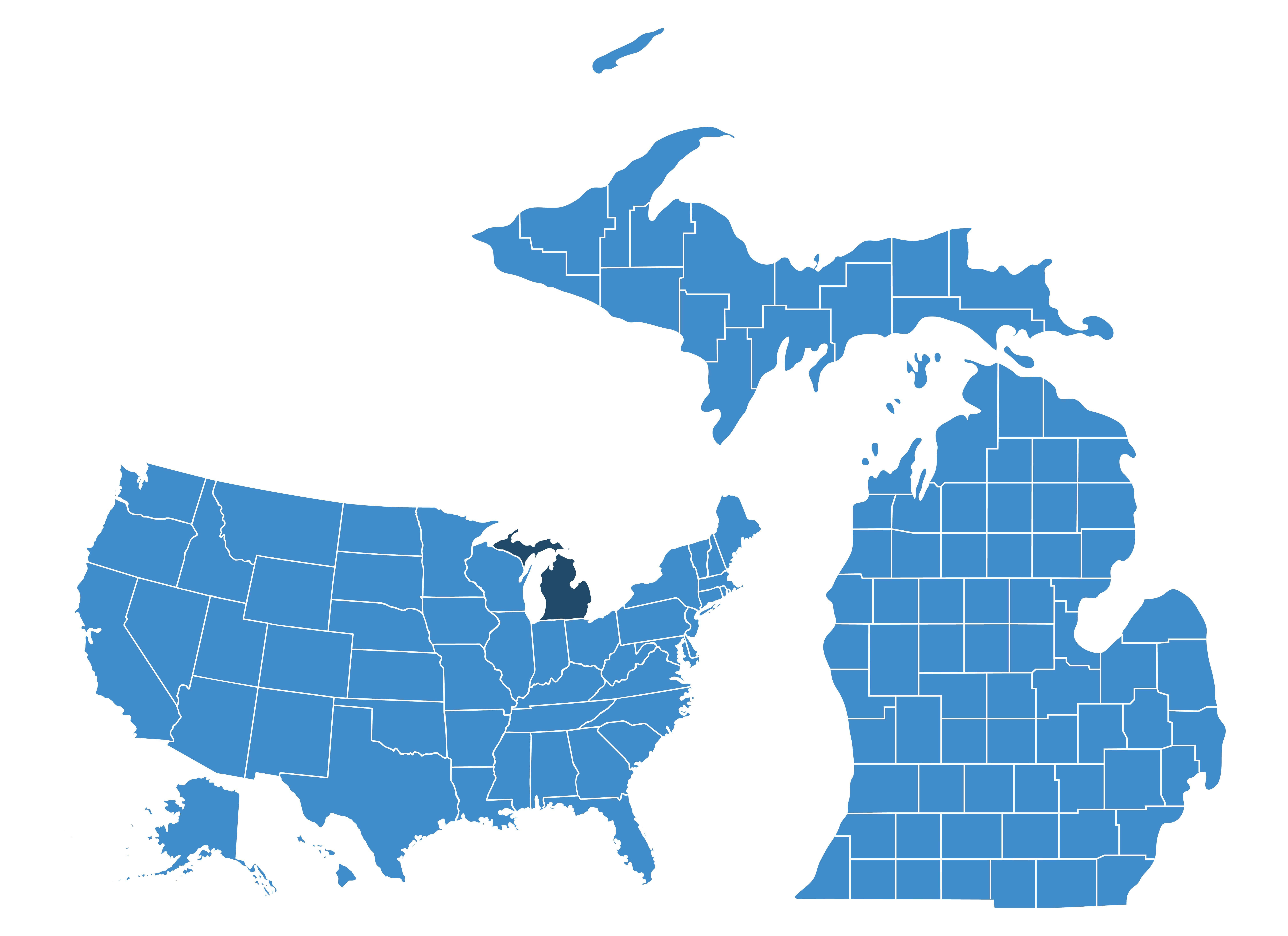
Where Michigan in the United States.
Michigan Administrative Map
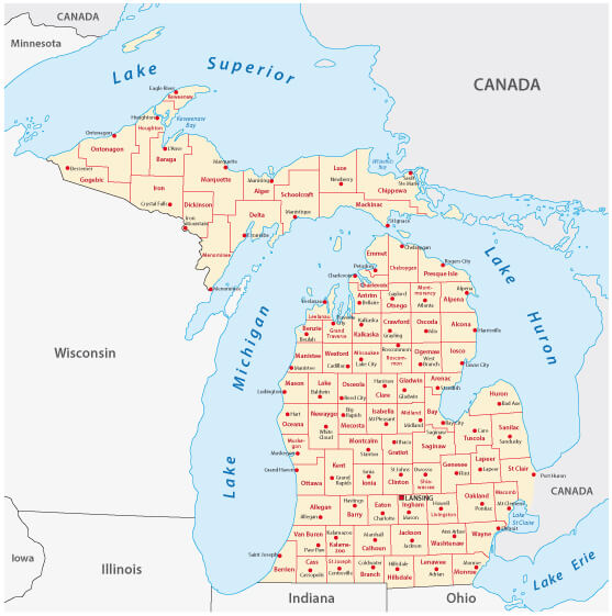
Michigan administrative map with counties and towns.
Michigan Blank Map
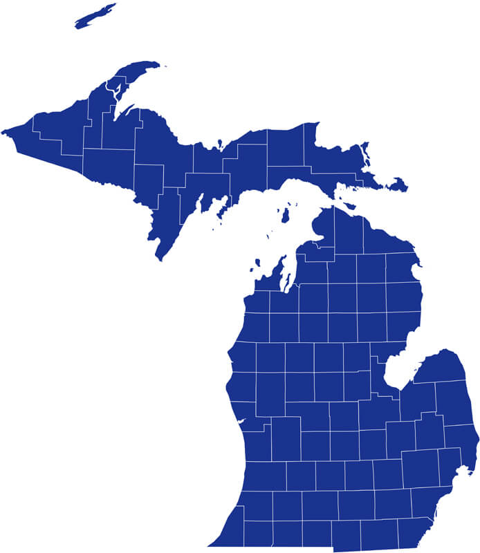
Michigan blank map with counties borders.
Michigan Road Map
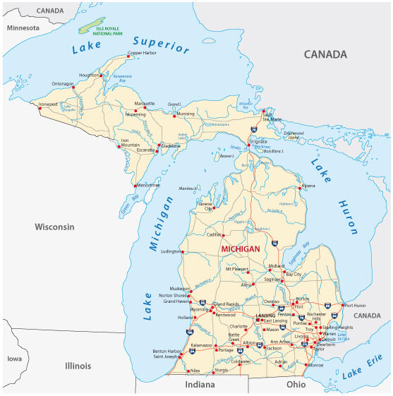
Michigan Road map with rivers and interstates.
Michigan State Map
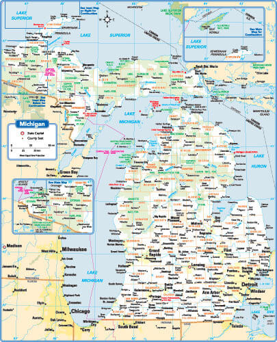
Michigan State map with main cities.
Detailed Map of Michigan
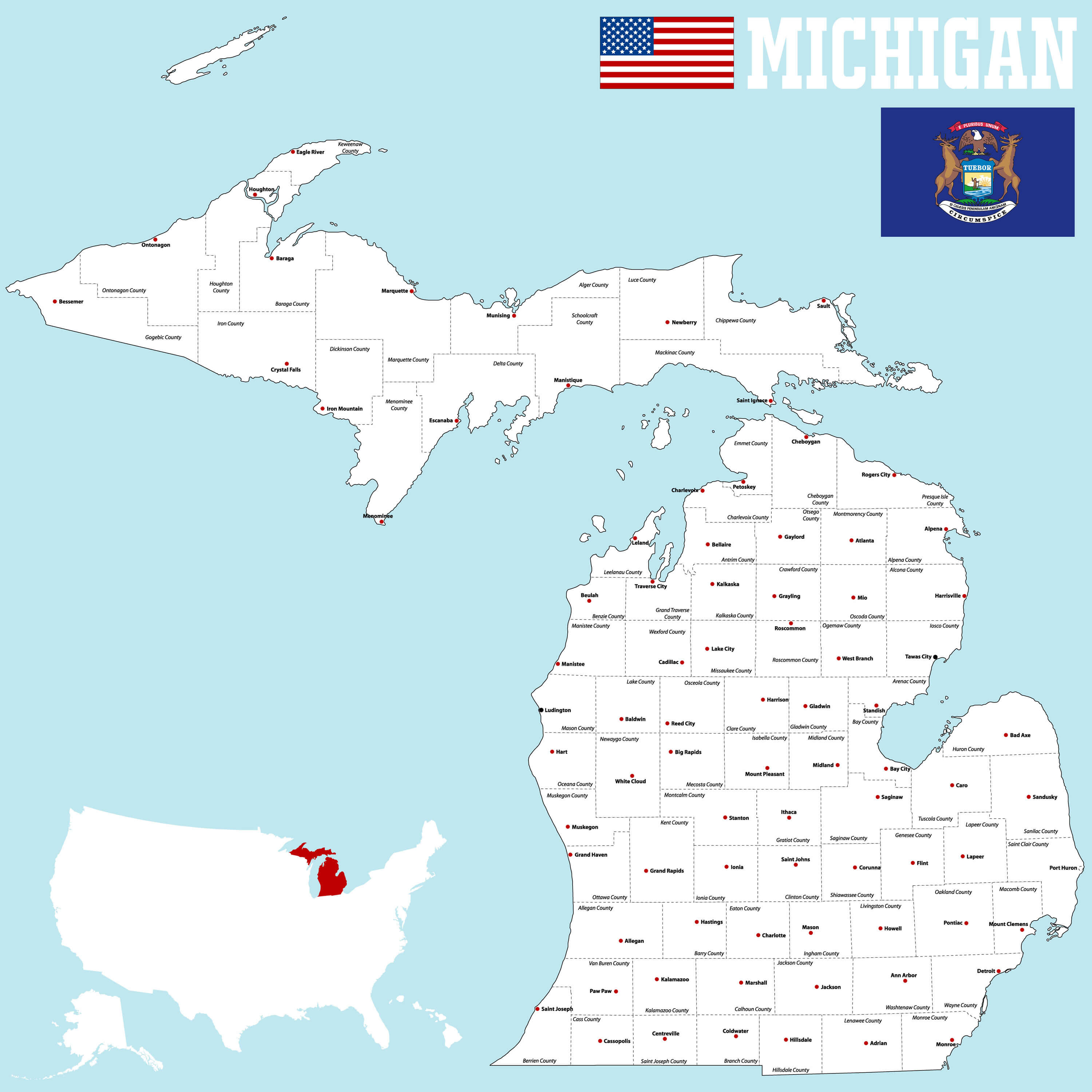
A large and detailed map of the State of Michigan with all counties and main cities.
Vector Map of the Michigan
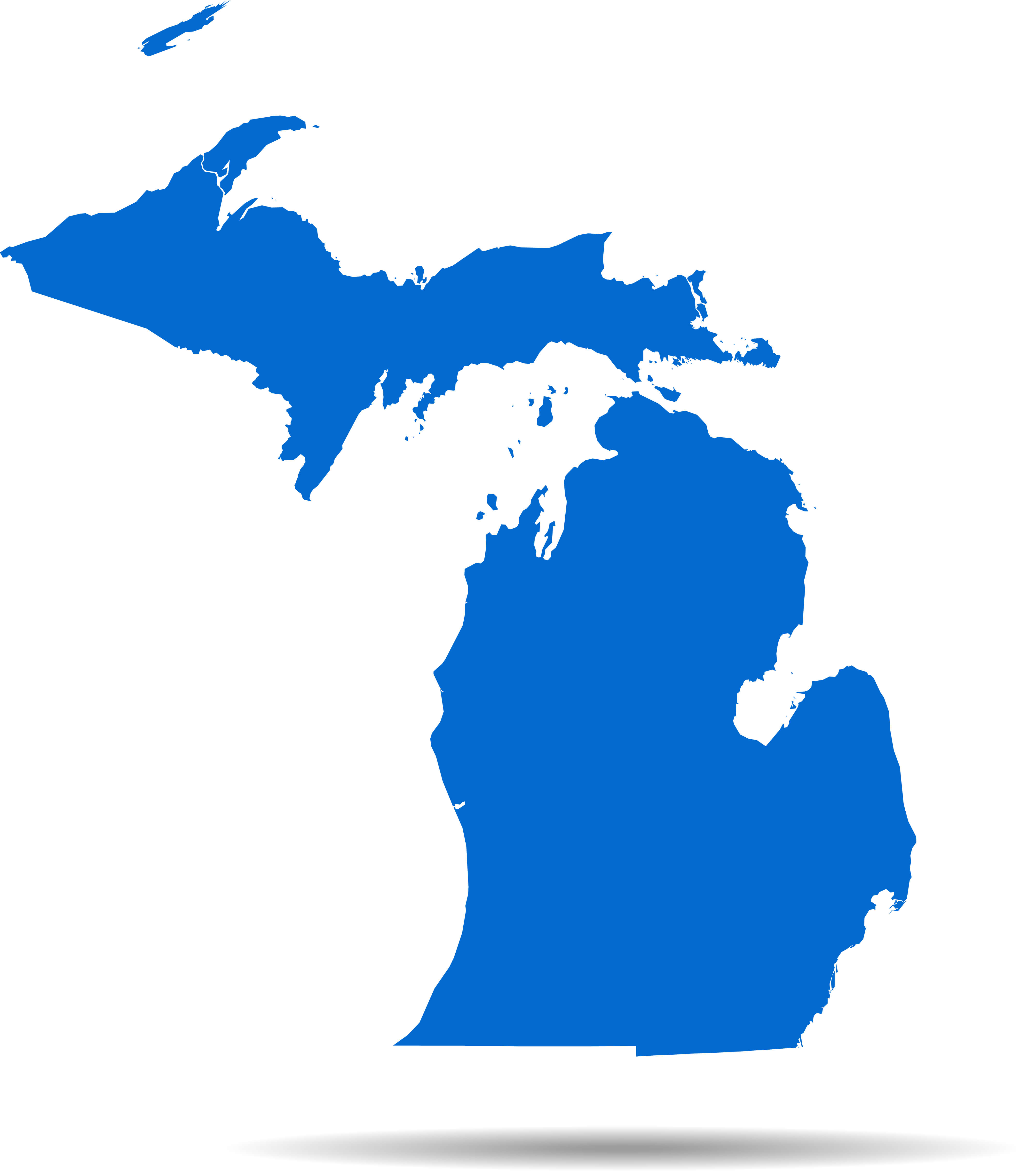
Detailed vector map of Michigan.
Where is located Michigan on the US Map
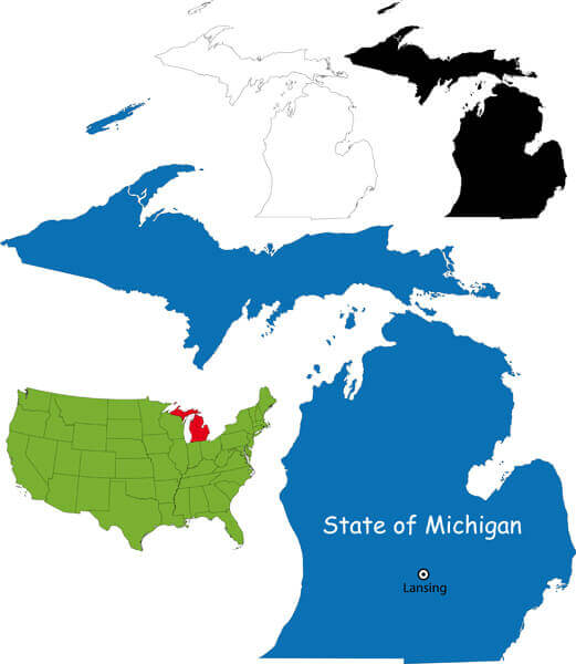
This map shows the state of Michigan’s location within the United States, with Michigan marked in red on the US map. It also provides several views of Michigan’s outline and position relative to neighbouring states and Canada.
Here are some statistical information about Michigan:
Area: 96,716 sq mi (250,493 km2)Religious Composition Of Michigan In 2021
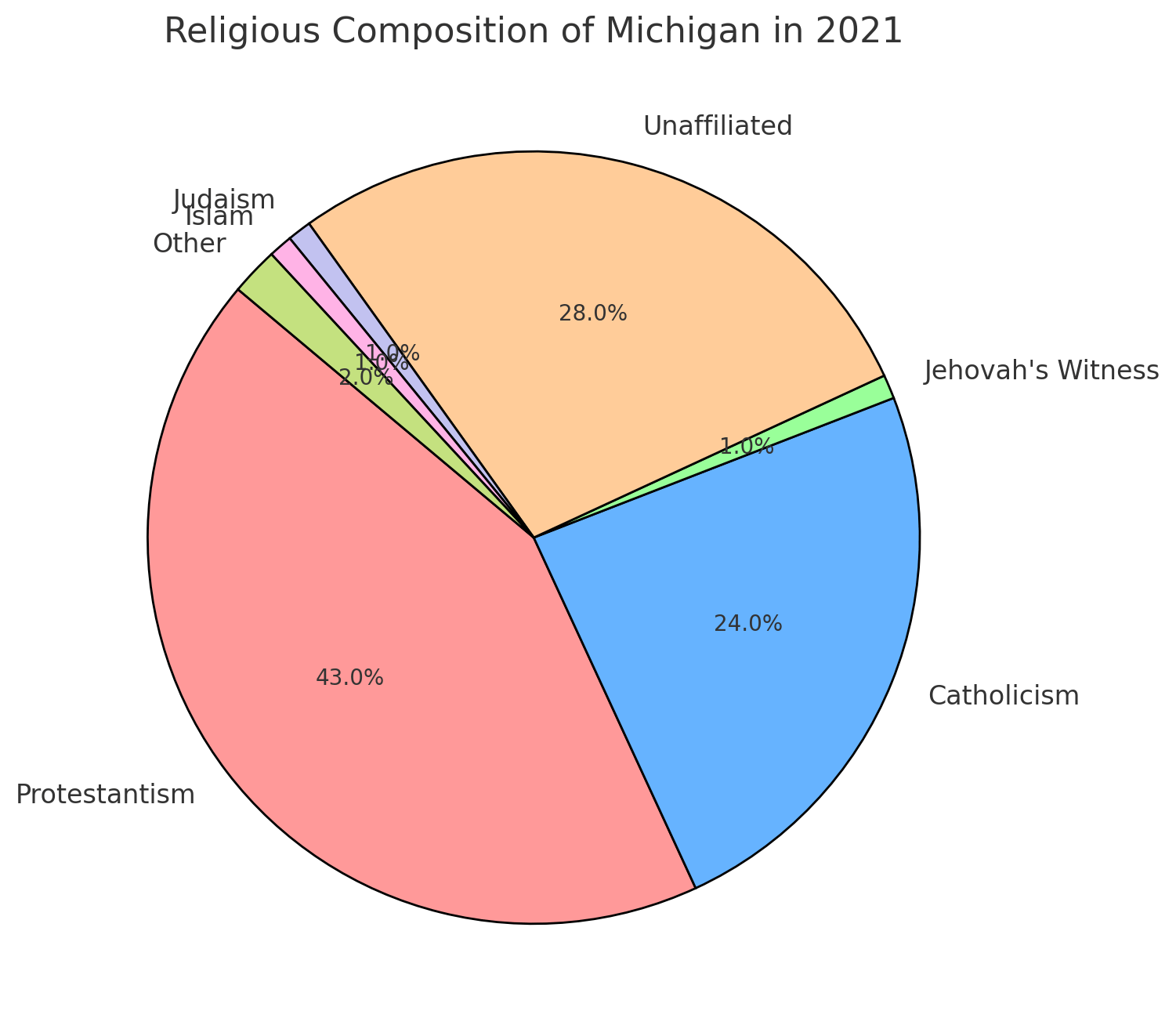 Religious Composition Of Michigan In 2021
- Protestantism (43%)
- Unaffiliated (28%)
- Catholicism (24%)
- Jehovah’s Witness (1%)
- Judaism (1%)
- Islam (1%)
- Other (2%)
Detroit and Surrounding Areas: A Map Overview in Michigan
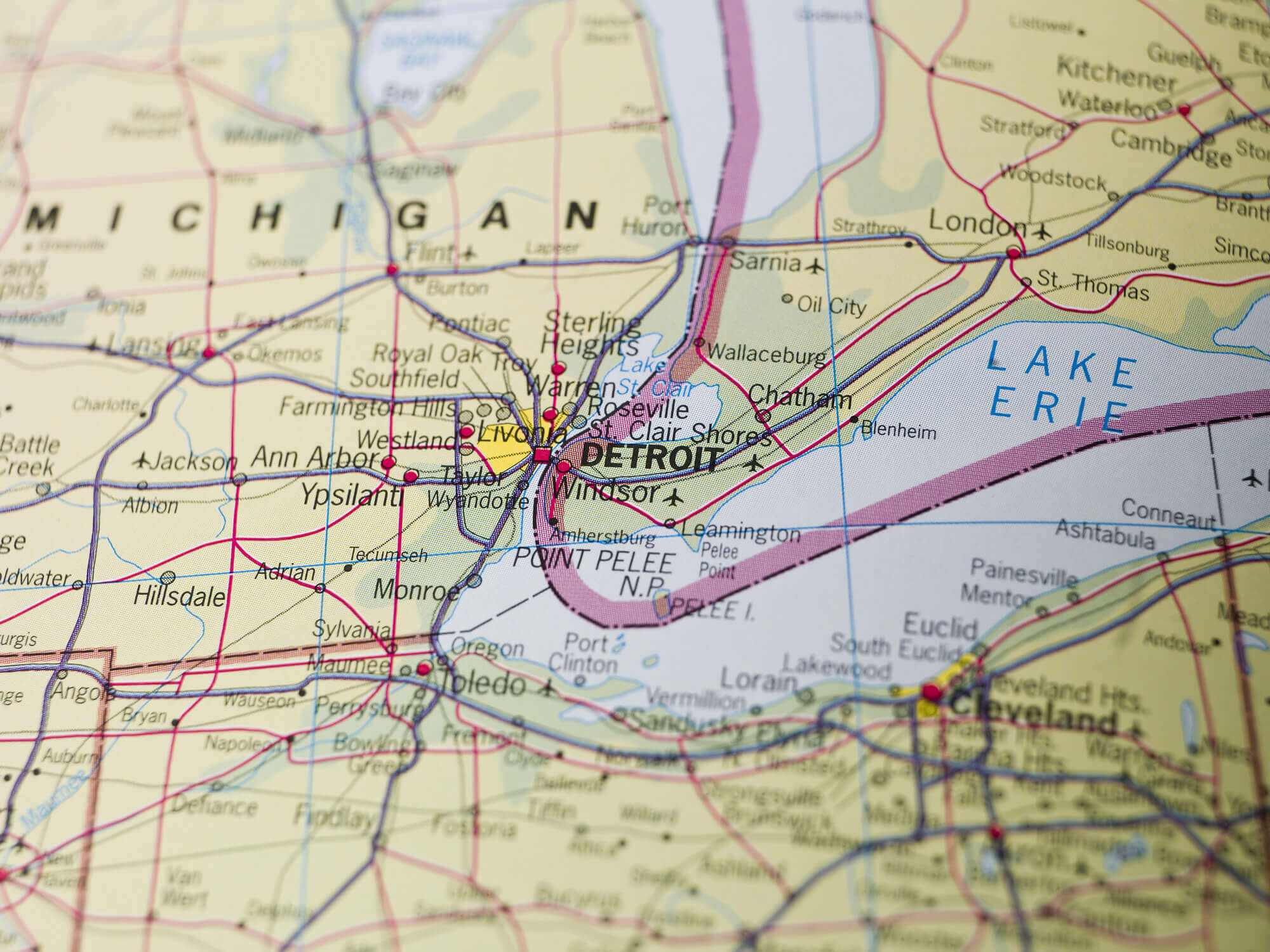 Map of Detroit, Michigan and nearby cities around Lake Erie
Geographic Map of Michigan: Rivers, Lakes, and Key Cities
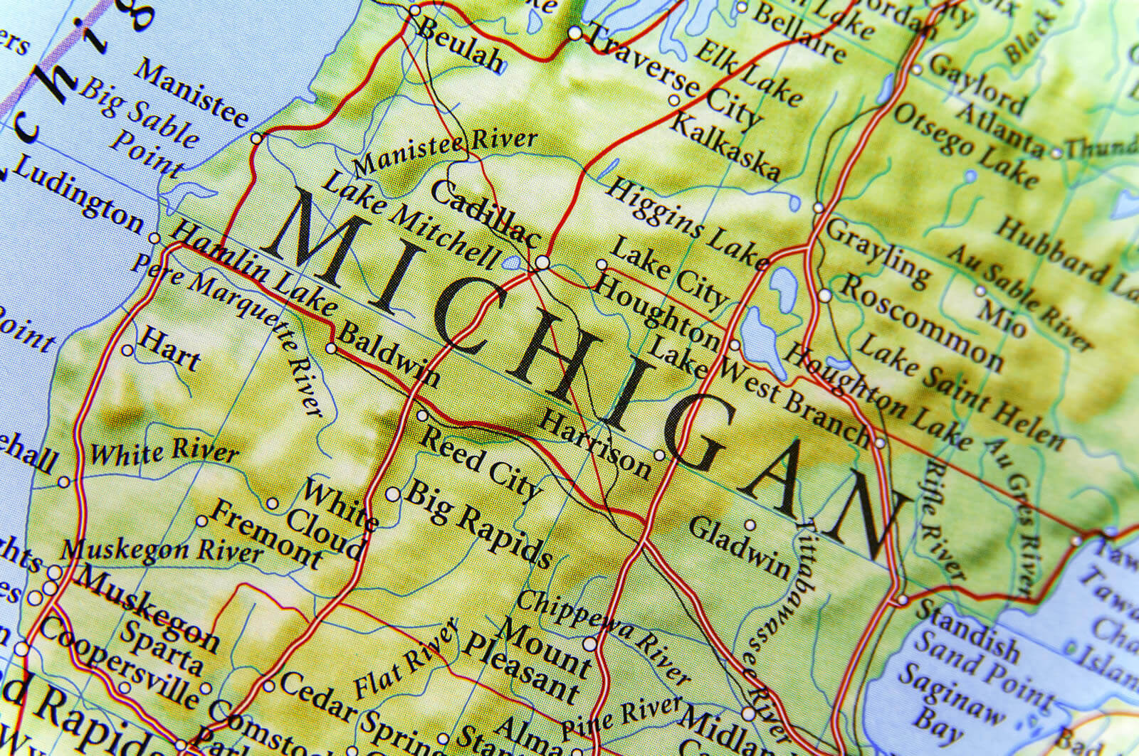 Geographic map of Michigan showing lakes, rivers, and cities
Geographic Map of Detroit: Roads, Cities, and Surrounding Areas
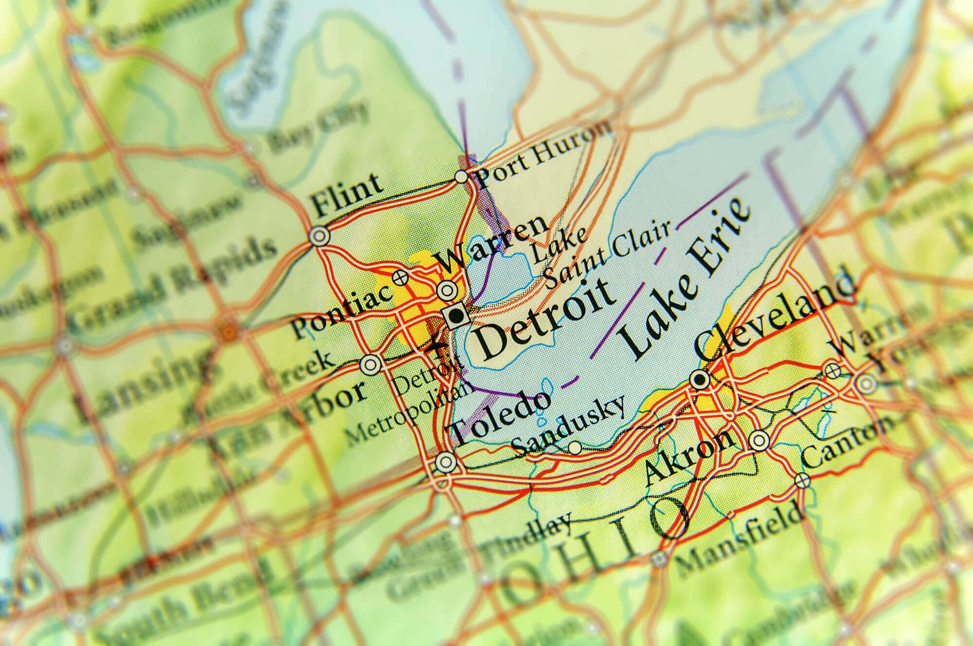 Geographic map of Detroit and nearby cities around Lake Erie
Detailed Map of Michigan: Counties, Cities, and State Symbols
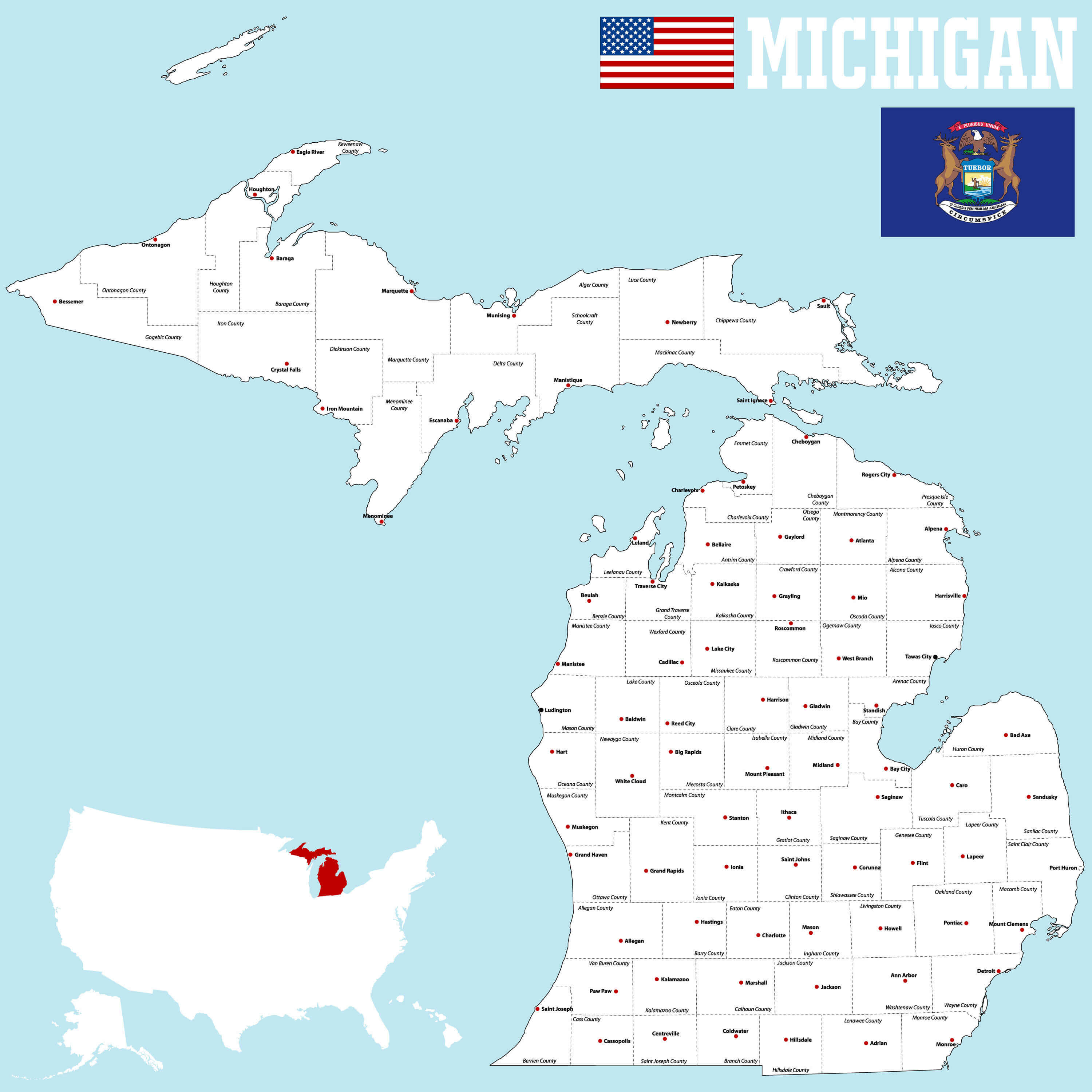 Detailed Michigan map with counties, cities, flag, and location in U.S.
Detailed Map of Detroit, Michigan: Streets and Surrounding Areas
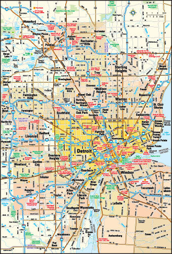 Detailed Detroit map with streets, suburbs, and surrounding areas.
Color-Coded Map of Michigan: Regions and Major Cities
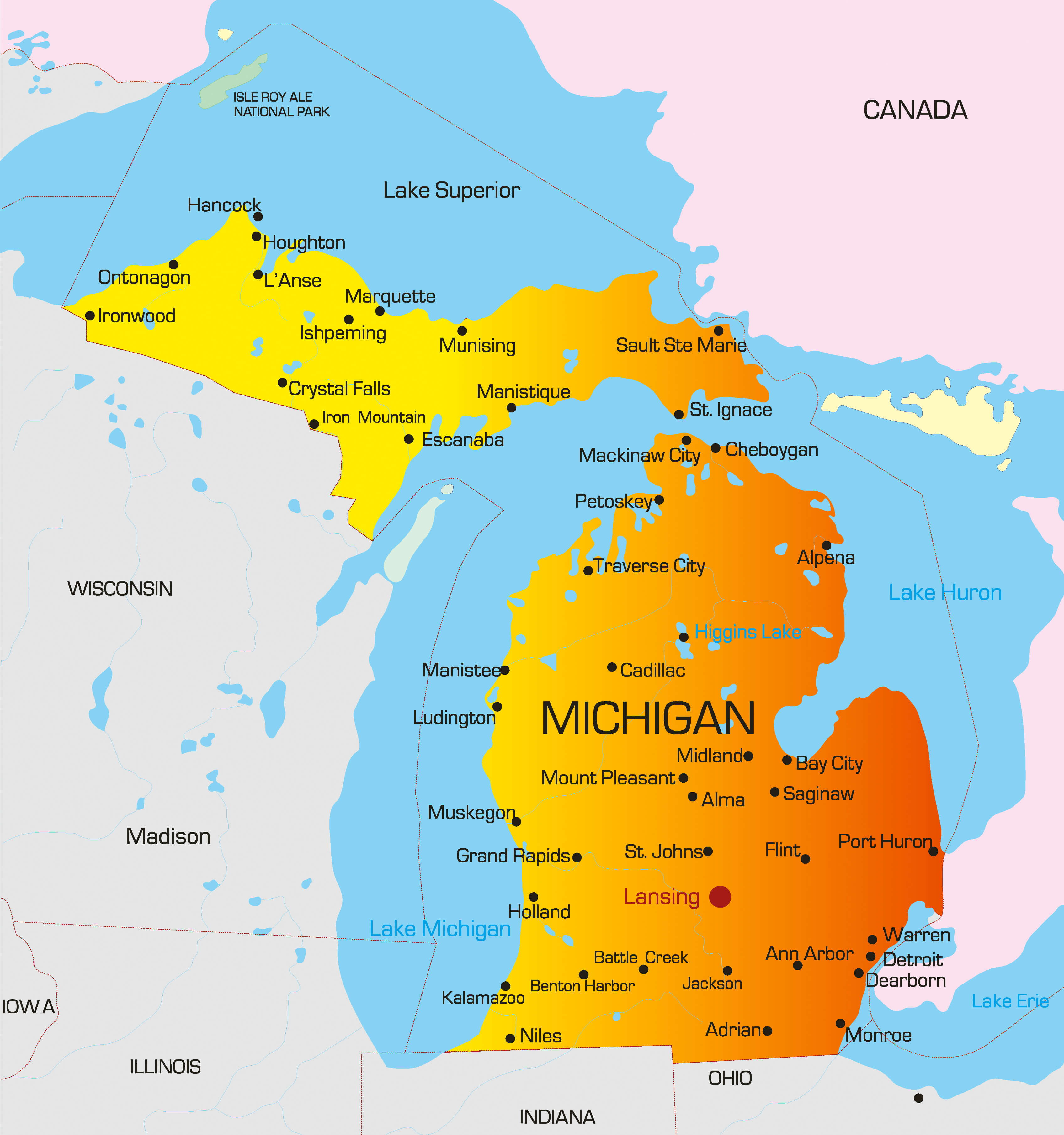 Color map of Michigan with regions and major cities highlighted.
County Map of Michigan: Boundaries, Seats, and State Overview
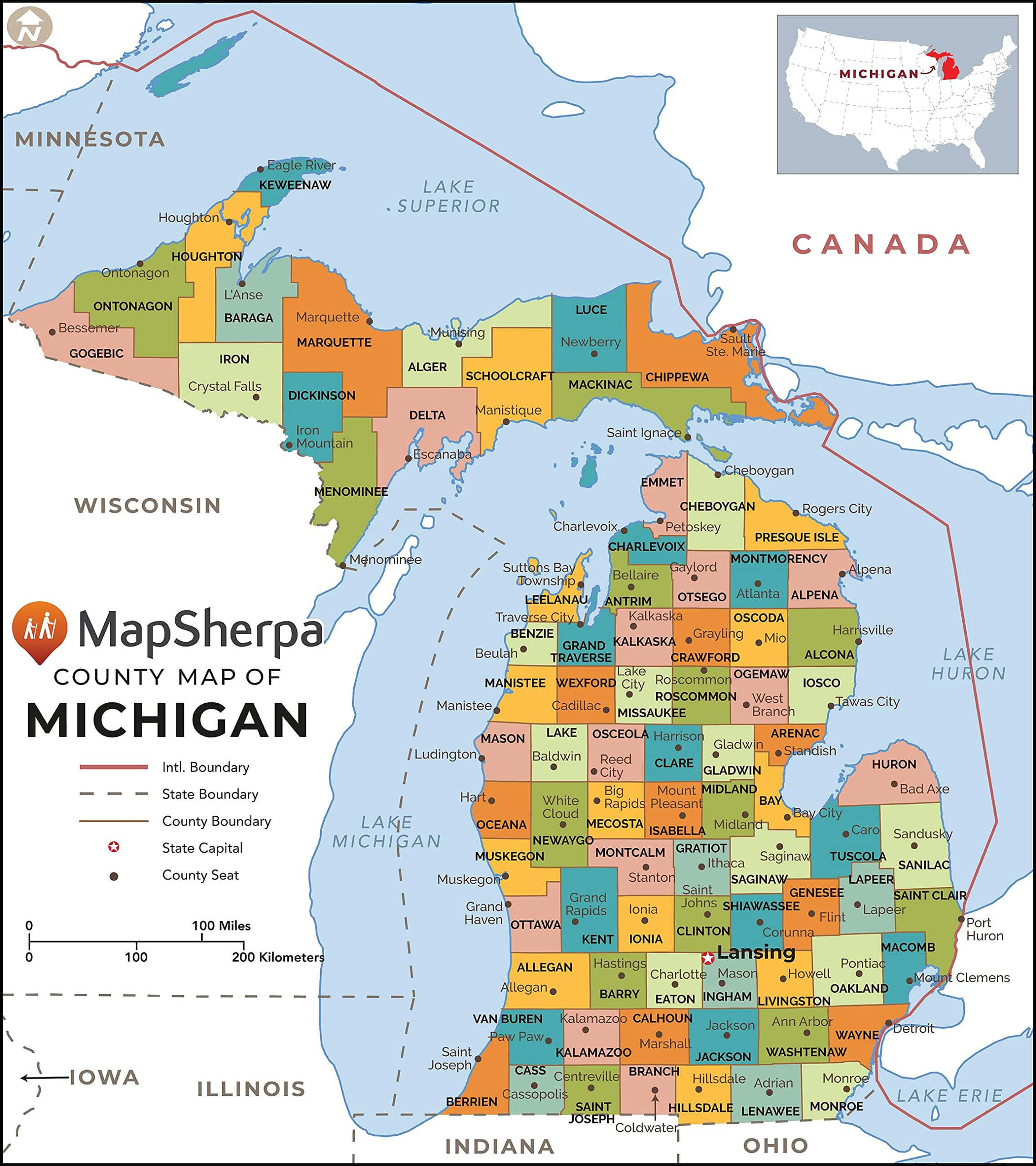 Michigan county map with boundaries, seats, and major cities.
Historical Map of Michigan (1900): Counties and Towns
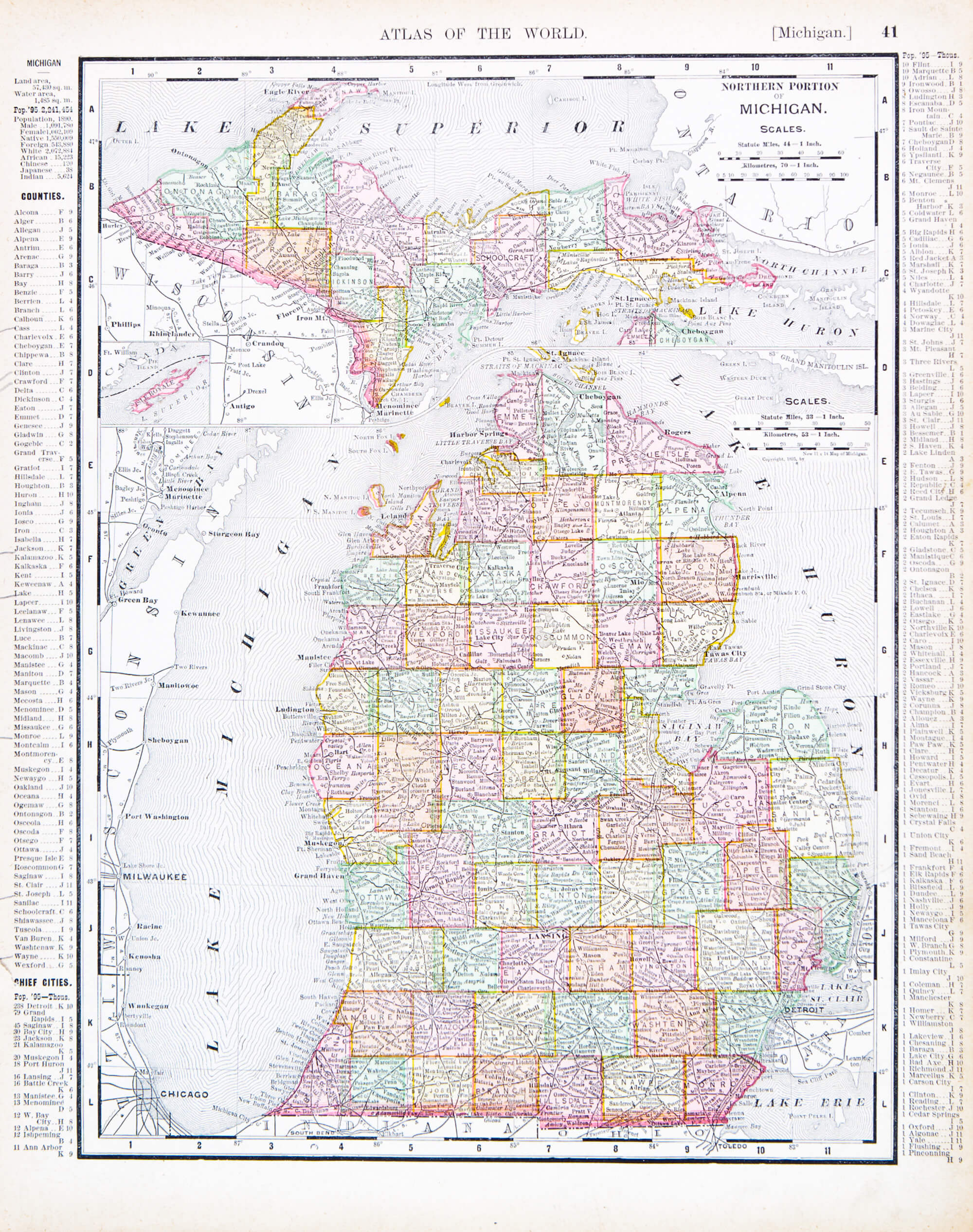 Michigan historical map from 1900 with counties and towns.
Michigan Counties Map: Regional Divisions and Surrounding Areas
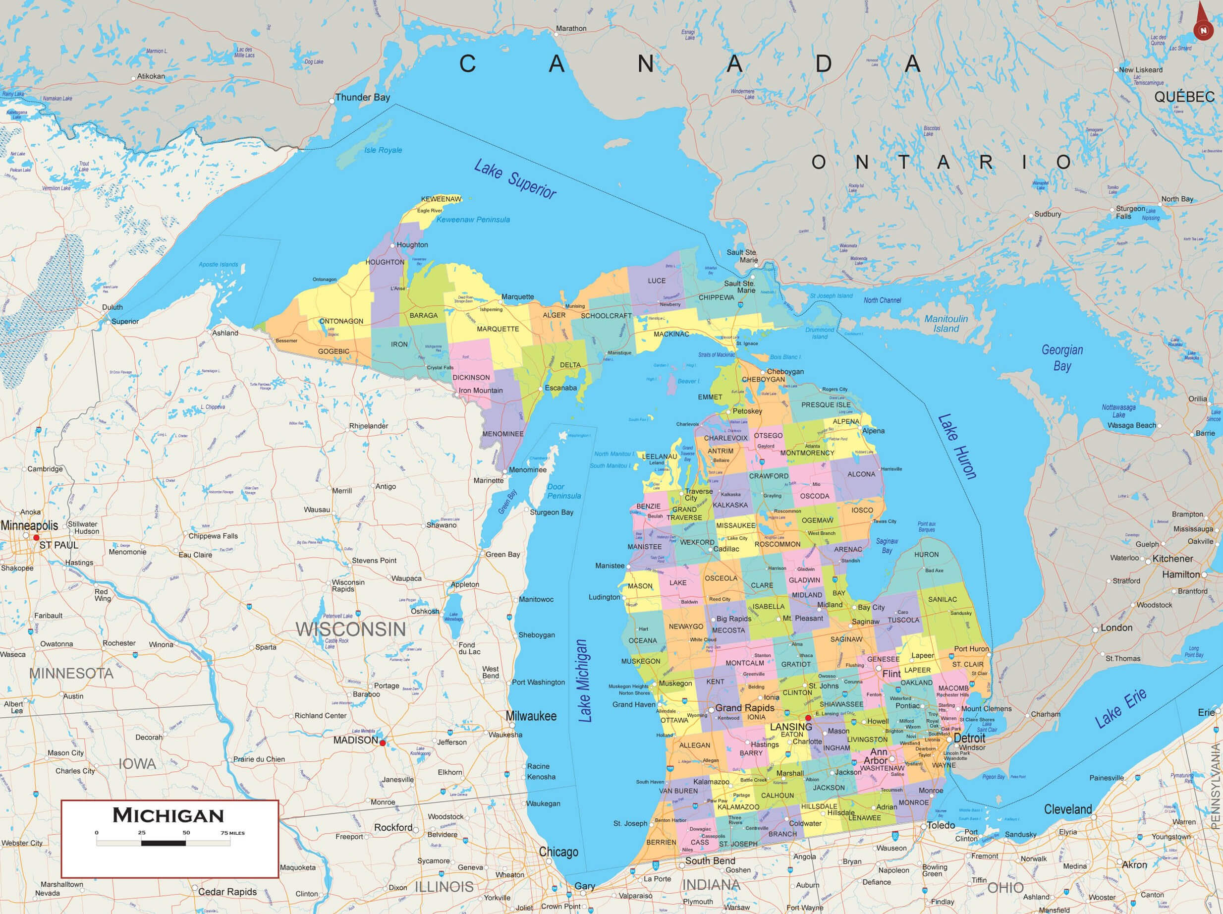 Michigan counties map with regional boundaries and nearby areas.
Michigan Highways Map: Major Roads and Transportation Routes
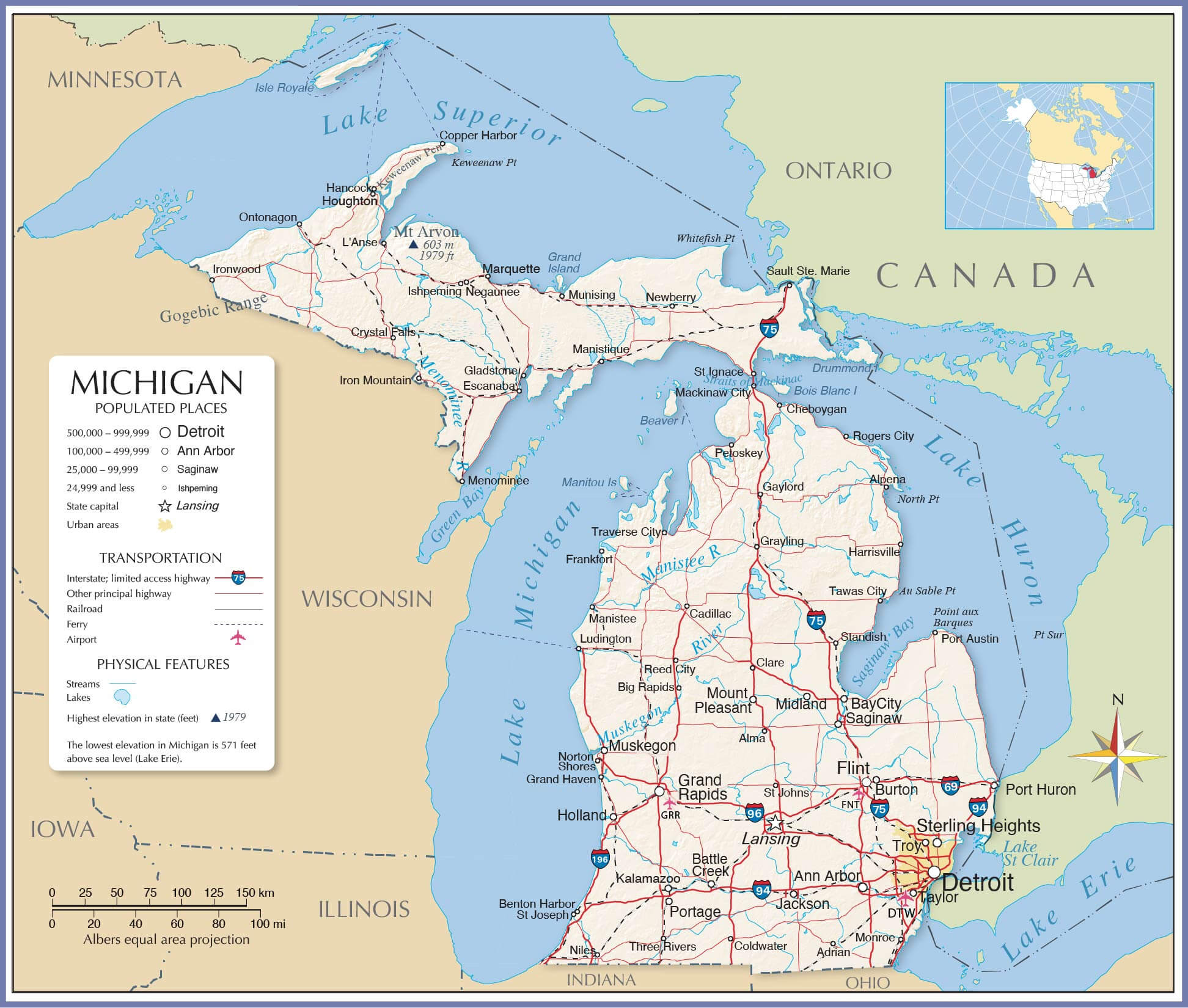 Michigan map with highways, major cities, and transportation routes.
Köppen Climate Map of Michigan: Humid Continental Types
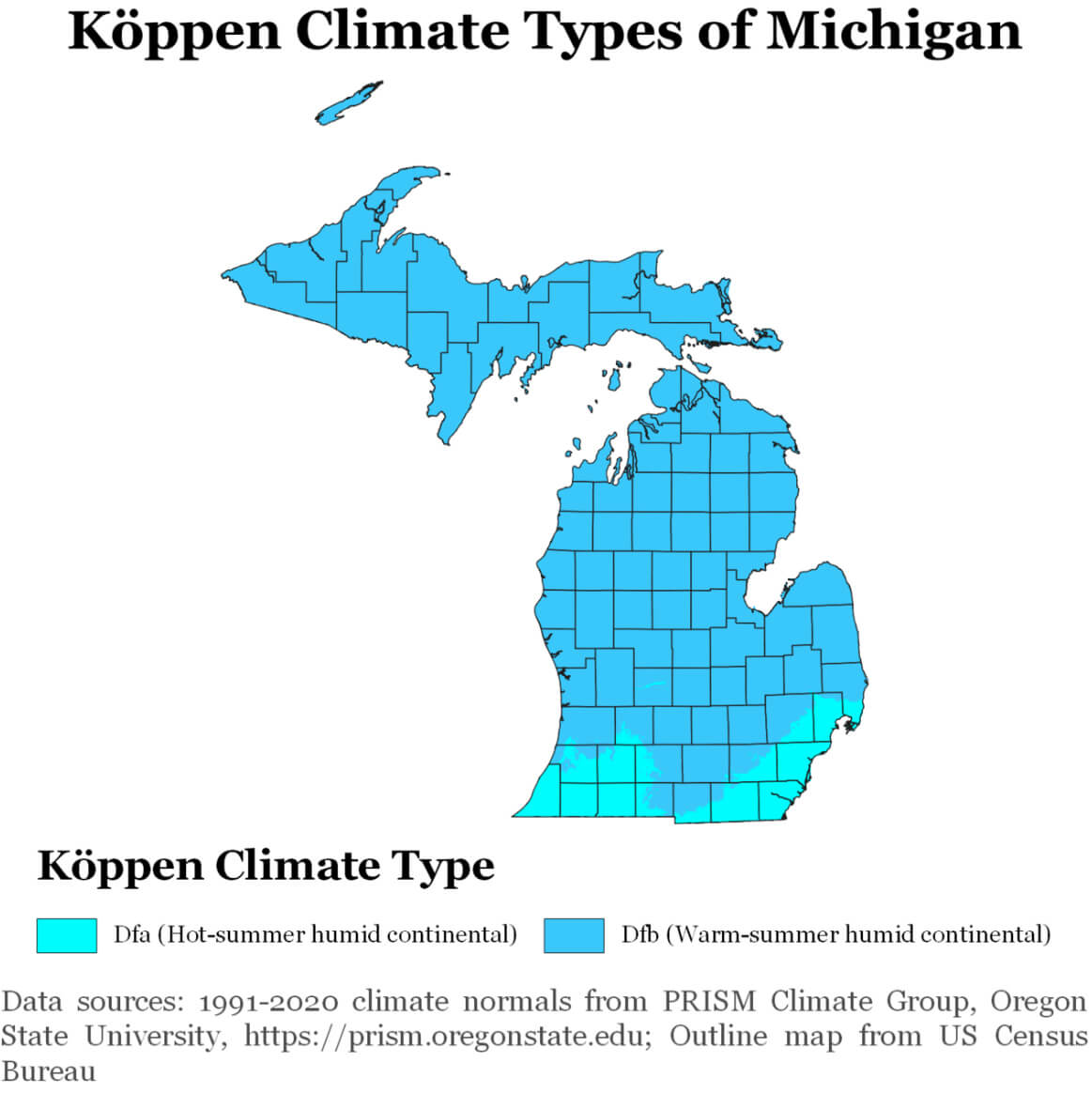 Michigan climate map showing Köppen climate zones Dfa and Dfb.
Administrative Map of Michigan Counties and Cities
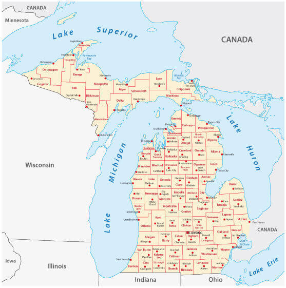 Michigan administrative map with counties and cities labeled.
Michigan Blank Map
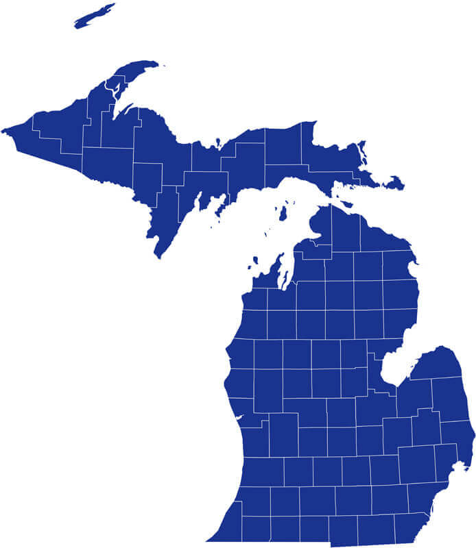 Michigan Blank Map
Where is Located Michigan on the US Map?
Show Google interactive map, satellite map, where is the country located.
Get directions by driving, walking, bicycling, public transportation, and traveling with street view.
Feel free to explore these pages as well:
- About Michigan ↗️
- Michigan Map ↗️
- Michigan Photos ↗️
- Map of Michigan ↗️
- 2024 US Presidential Election Swing States by Maps ↗️
- The US presidential election in Georgia: Predictions for 2024 and a look back at the swing in 2020 ↗️
- Arizona’s US Presidential Election: 2024 Predictions and a Look Back at the 2020 Swing ↗️
- Michigan on the Edge: 2024 US Election Predictions and the 2020 Turnaround ↗️
- Illinois Map ↗️
- Map of Illinois ↗️
- Illinois Photos ↗️
- Top 10 Best Experiences to Maximize Your Chicago Journey ↗️
- Chicago’s Hidden Gems: Exploring the Lesser-Known Sights of the Windy City ↗️
- Kenosha Travel Guide, Kenosha Protests and 4K Aerial View ↗️
- United States Map ↗️
- Map of United States ↗️
- North America Map ↗️
- Map of North America ↗️
