Canada Physical Map

HomeUncategorizedCanada Physical Map
- Advertisement -

Canada’s physical maps and atlases provide a detailed view of its stunning geography, including cities such as Toronto and Vancouver, provinces such as Alberta and Quebec, and natural features such as the Rocky Mountains and Hudson Bay. These maps highlight rivers such as the St. Lawrence, huge lakes such as Lake Superior and Canada’s extensive coastline along the Pacific Ocean. Satellite imagery and terrain maps show the country’s diverse topography, including rolling plains, towering peaks and Arctic tundra. In addition, North America maps place Canada in relation to the United States, highlighting the vast landmass and unique physical features that make it the world’s second largest country.

Canada’s Rivers and Lakes Map
Canada's Rivers and Lakes Map
Map of Canada highlighting rivers, lakes, and water systems in green and blue.

This map of Canada shows the country’s vast network of rivers and lakes, including Hudson Bay, the Mackenzie River and the Great Lakes. It highlights the major waterways that define Canada’s geography and play a key role in its ecosystems and history.

Canada’s Geography Map

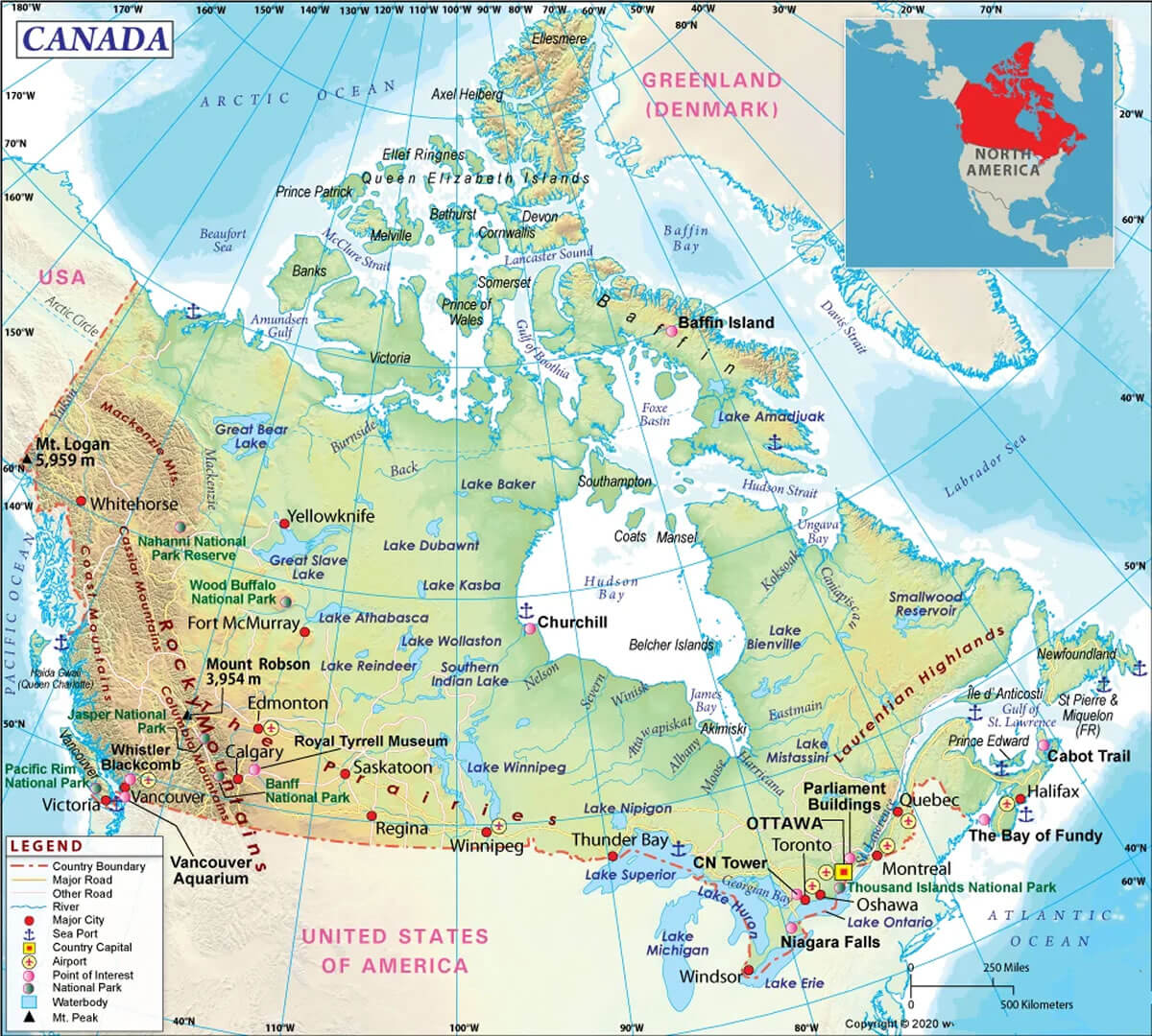
Map of Canada with cities, landmarks, and natural features across provinces
Map of Canada showing cities, landmarks, and natural features across provinces.

This geography map of Canada highlights its provinces, major cities, landmarks like Niagara Falls, and natural features such as the Rocky Mountains, Hudson Bay, and Great Lakes. It provides an overview of Canada’s diverse landscapes and key geographic points of interest.

Canada and U.S. Satellite Map

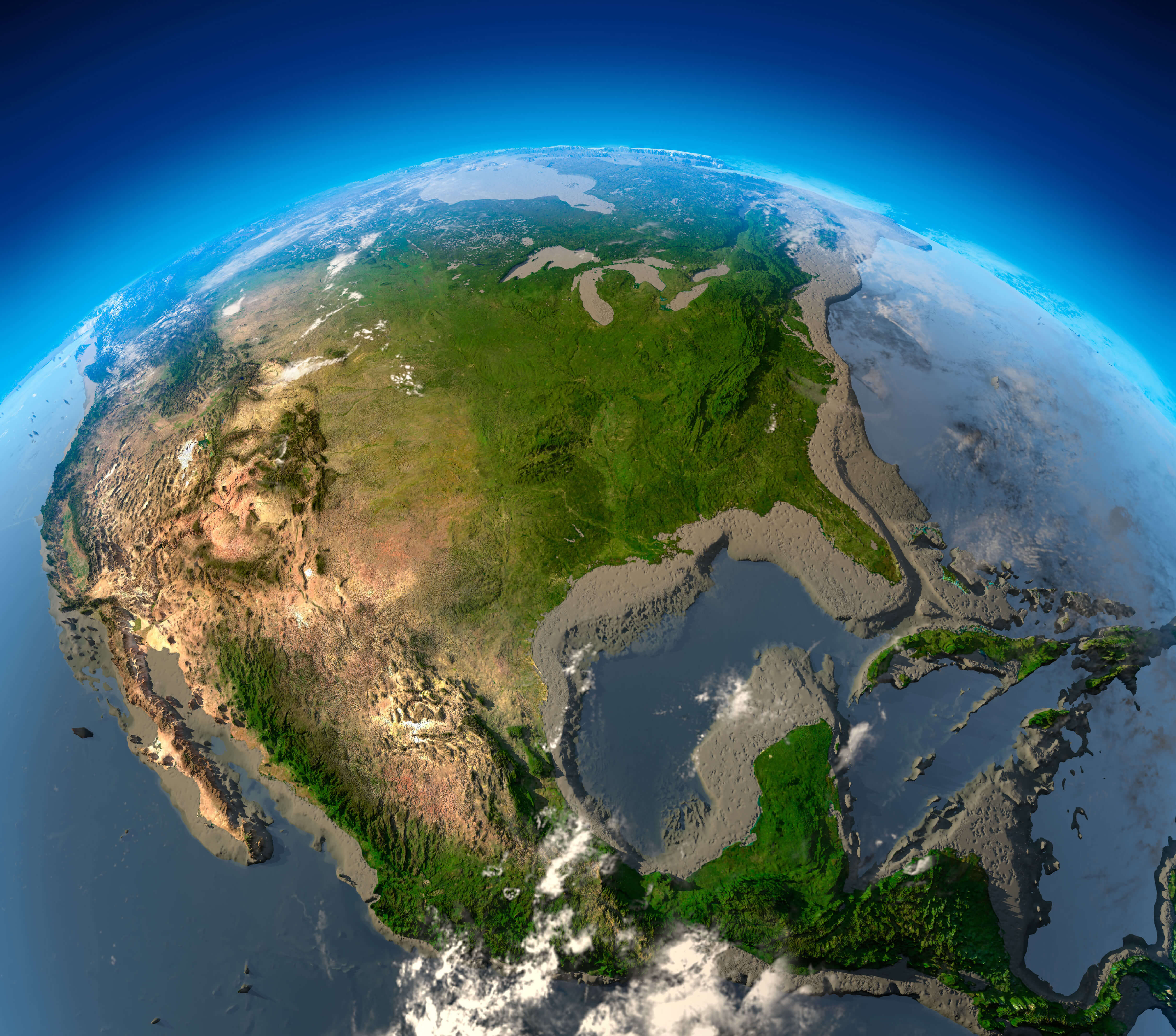
Satellite view of Canada and the U.S. with terrain, rivers, and coastlines
Satellite view of Canada and the U.S. showing terrain, rivers, and coastlines.

This satellite map captures Canada and the U.S., highlighting their vast landscapes, including mountains, plains, rivers, and coastal regions. It provides a detailed perspective on the terrain, showcasing the Rockies, the Great Lakes, and the interconnected ecosystems across North America.

Physical Map of North America with Canada
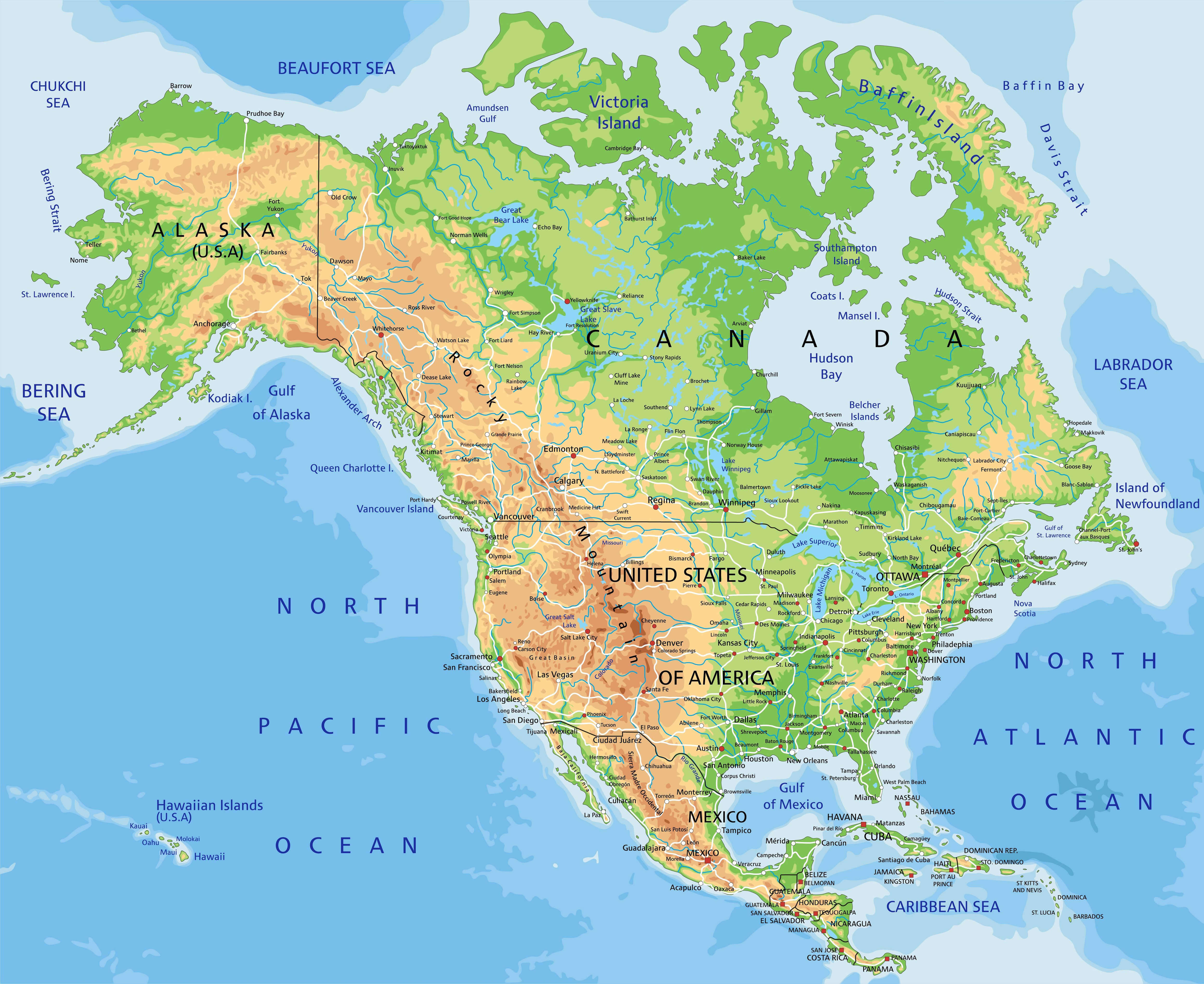
Physical Map of North America with Canada, US and, Mexico
Physical map of North America showing Canada, U.S., and Mexico with terrain features.

This Physical map highlights the diverse geography of North America, including Canada’s vast forests, the Rocky Mountains and major bodies of water such as Hudson Bay. It also shows the USA and Mexico, detailing rivers, plains and coastlines, providing a comprehensive overview of the continent’s natural features.

Canada’s Physical Map with Pacific and Atlantic Oceans
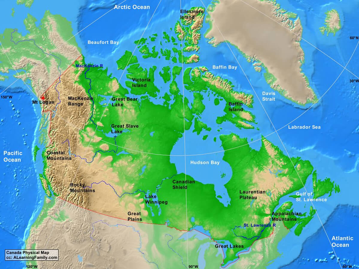
Canada's Physical Map with Pacific and Atlantic Oceans
Physical map of Canada showing mountains, rivers, and oceans.

This Physical map of Canada highlights major geographic features, including the Rocky Mountains, Great Plains, Canadian Shield, and coastal areas along the Pacific and Atlantic Oceans. It features natural landmarks such as Great Bear Lake, Hudson Bay, and Mt. Logan, Canada’s highest peak.

Physical map of Canada mountains and rivers
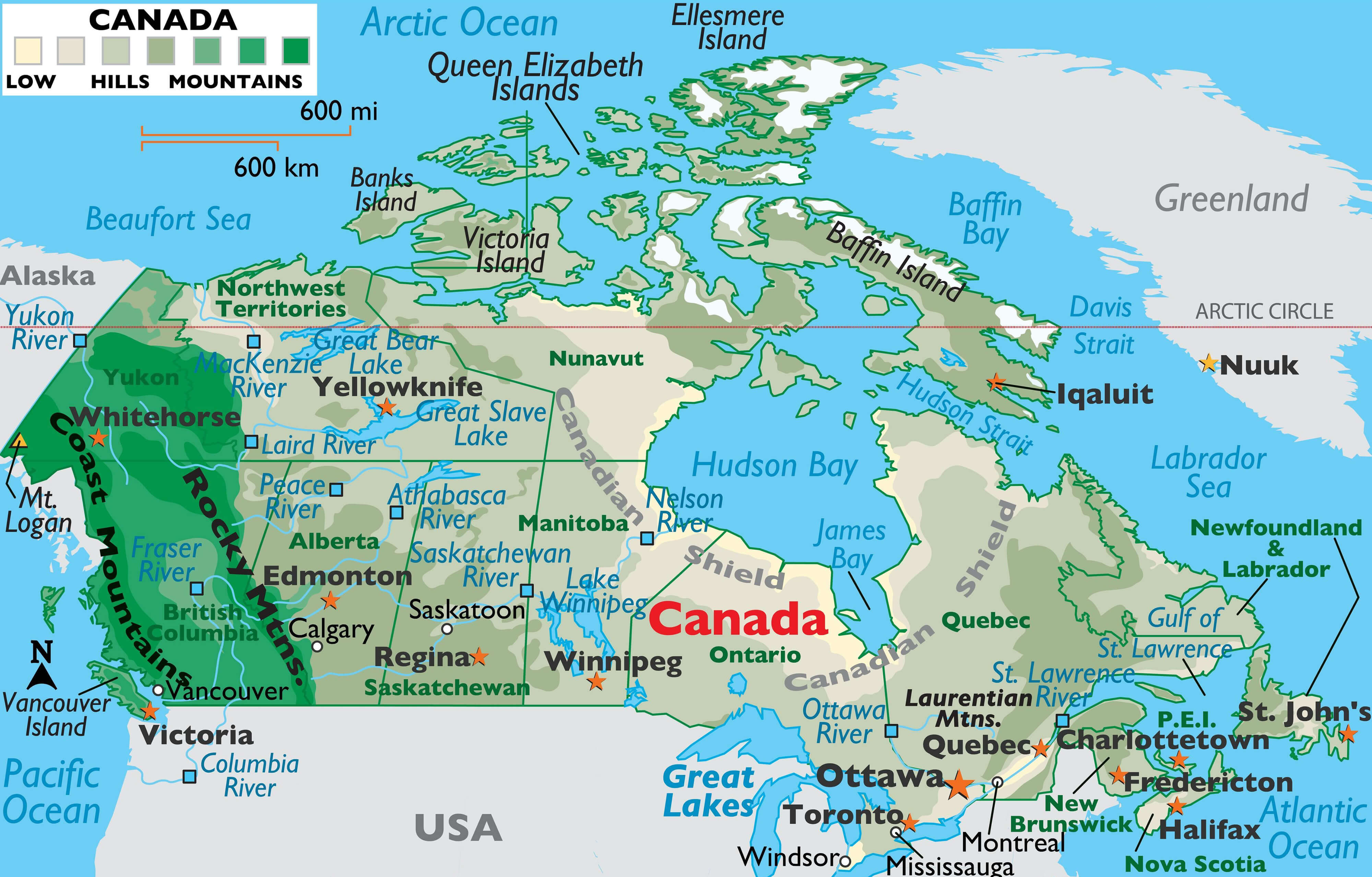
Physical map of Canada mountains and rivers

Canada and United States map from space
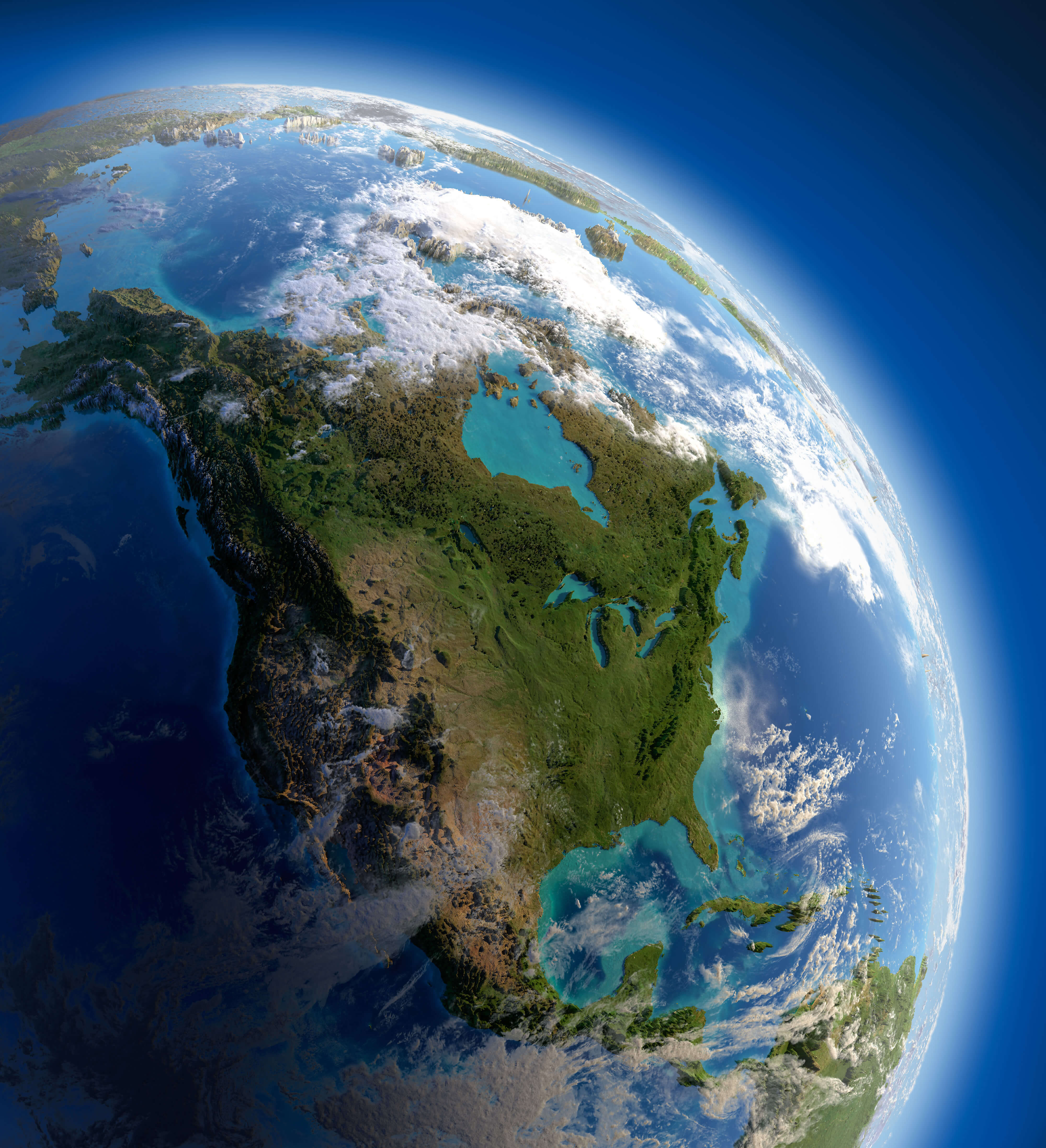
Canada and United States map from space

Canada and North America elevation map
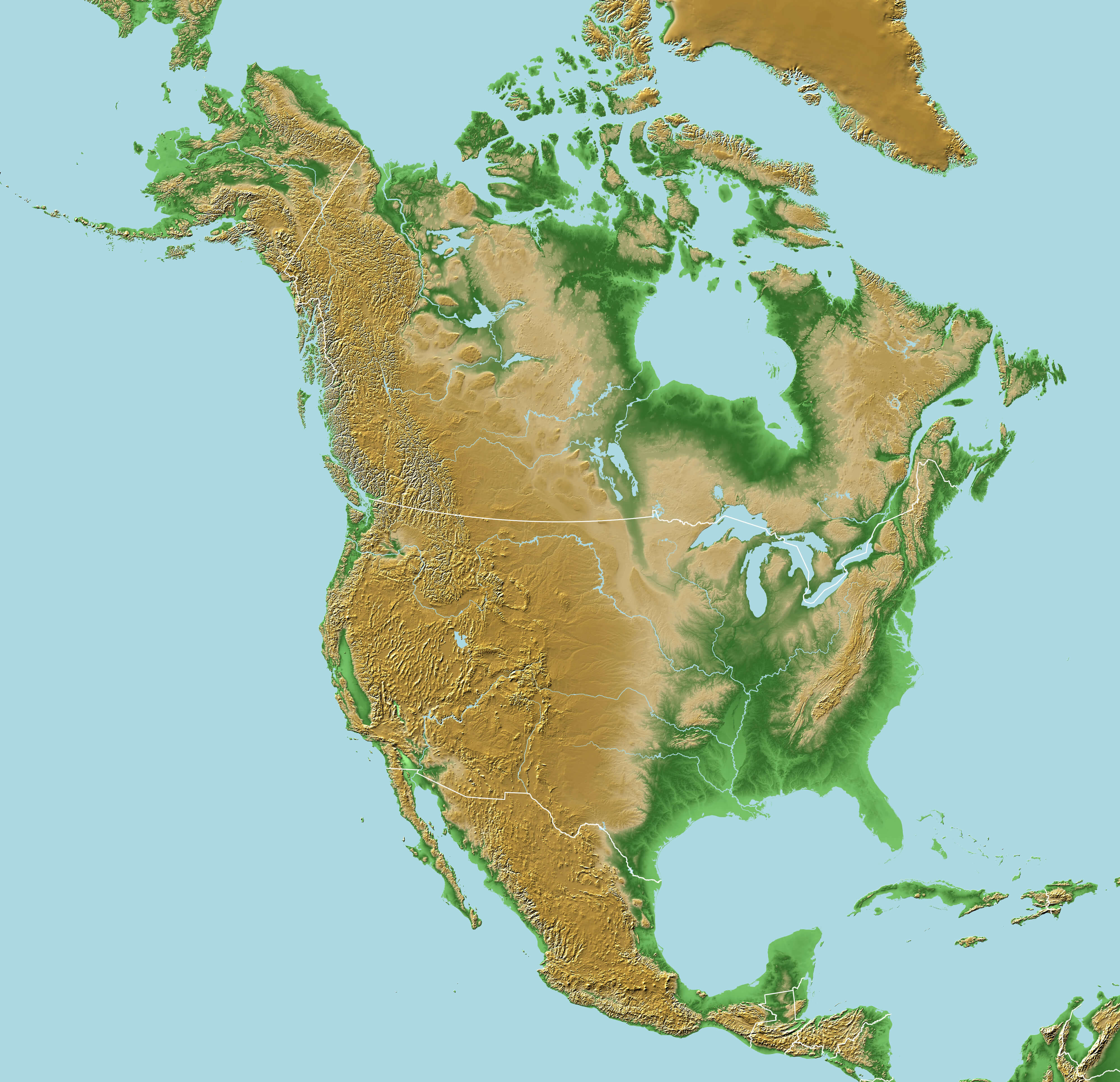
Canada and North America elevation map

Physical Map of North America with Canada
Canada
Physical map of North America showing Canada, U.S., and Mexico with terrain features.

This Physical map highlights the diverse geography of North America, including Canada’s vast forests, the Rocky Mountains and major bodies of water such as Hudson Bay. It also shows the USA and Mexico, detailing rivers, plains and coastlines, providing a comprehensive overview of the continent’s natural features.

Canada Topography Map

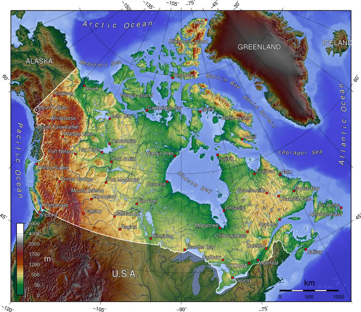
Canada topography map

Canada satellite map with Canada territories borders
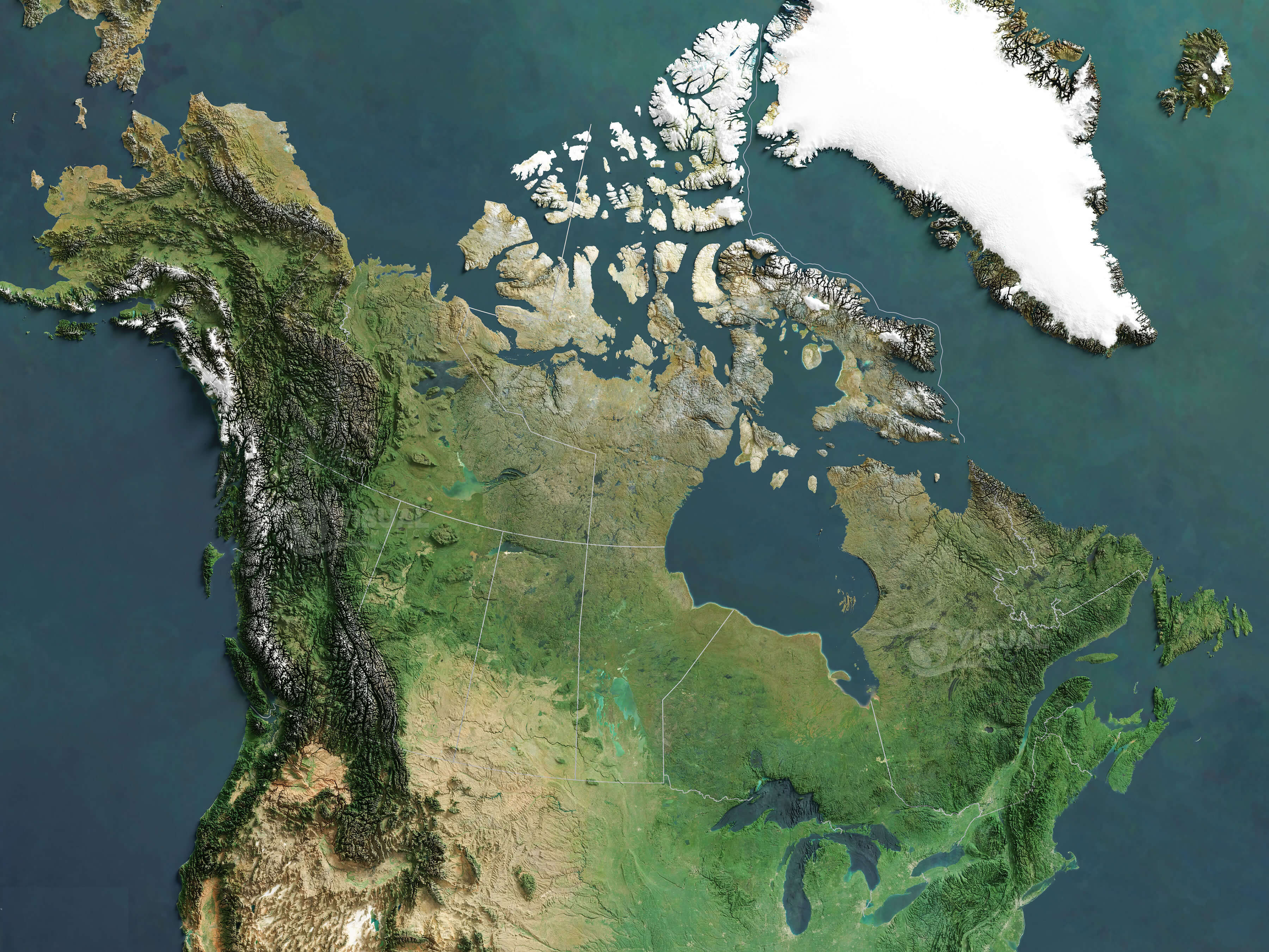
Canada satellite map with Canada territories borders

Canada Physical map with mountains plains
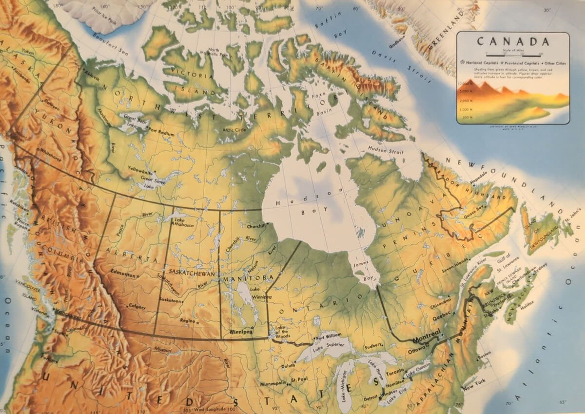
Canada Physical map with mountains plains

Physical map of Canada with territories and United States
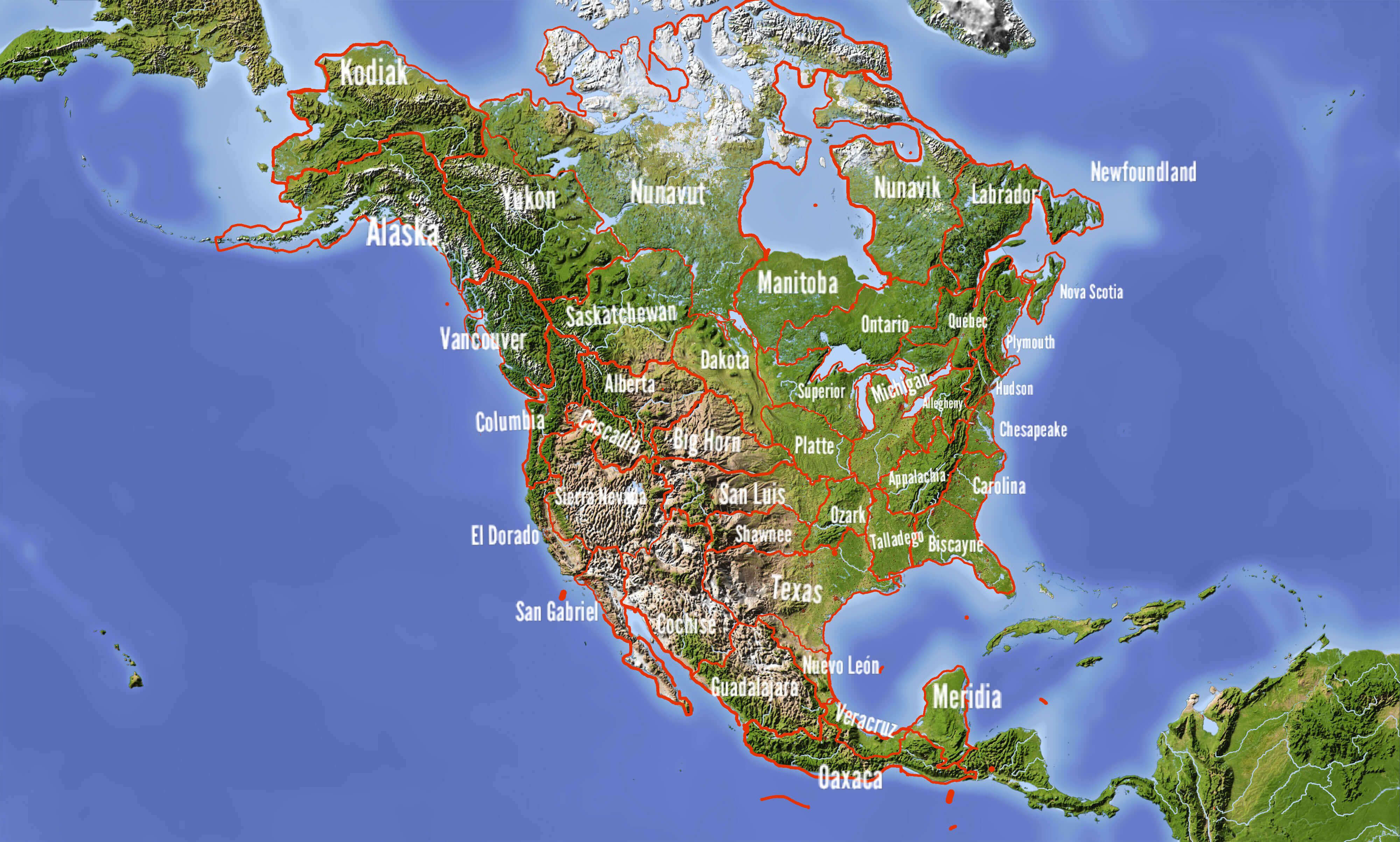
Physical map of Canada with territories and United States

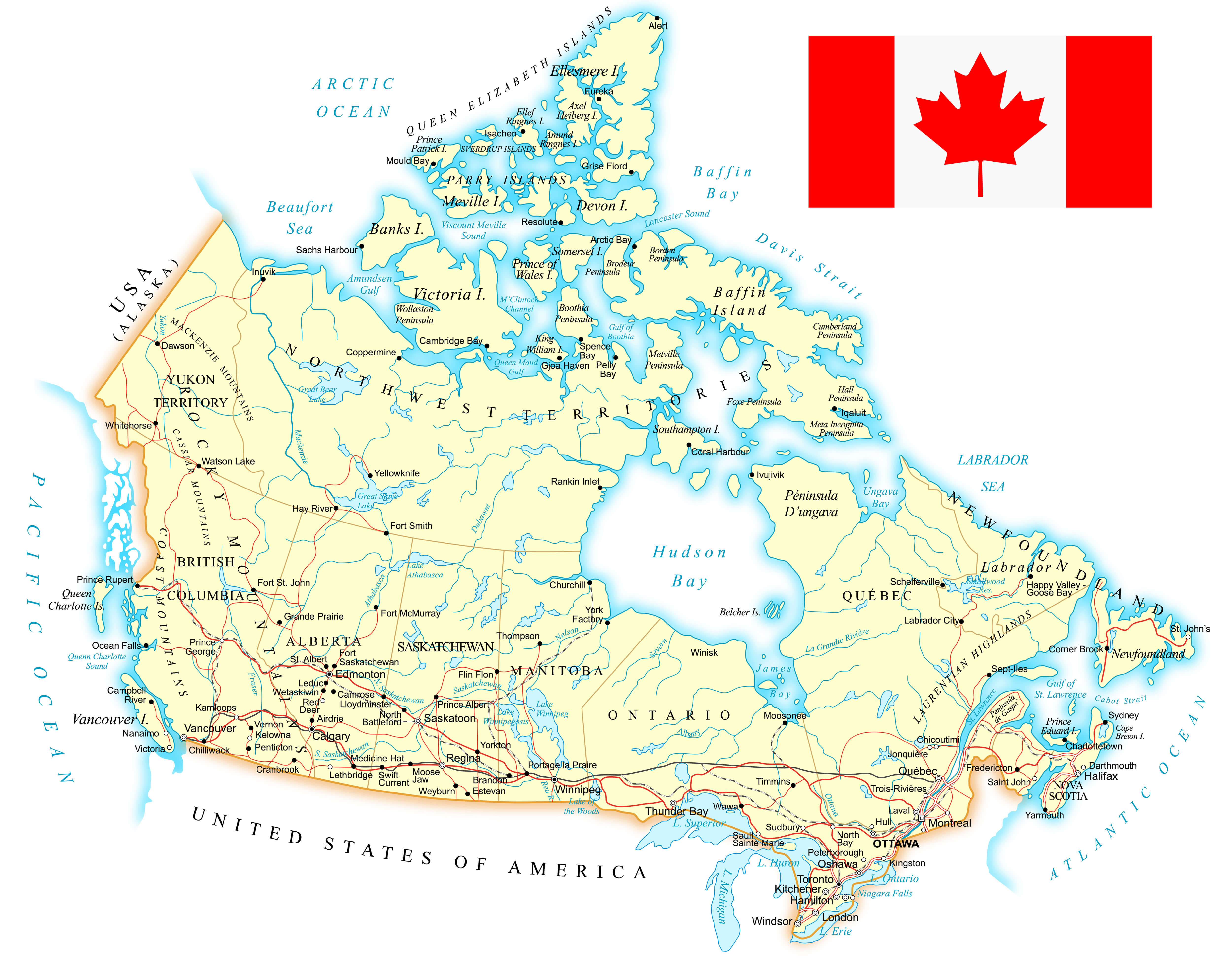
Canada Physical Map with Cities
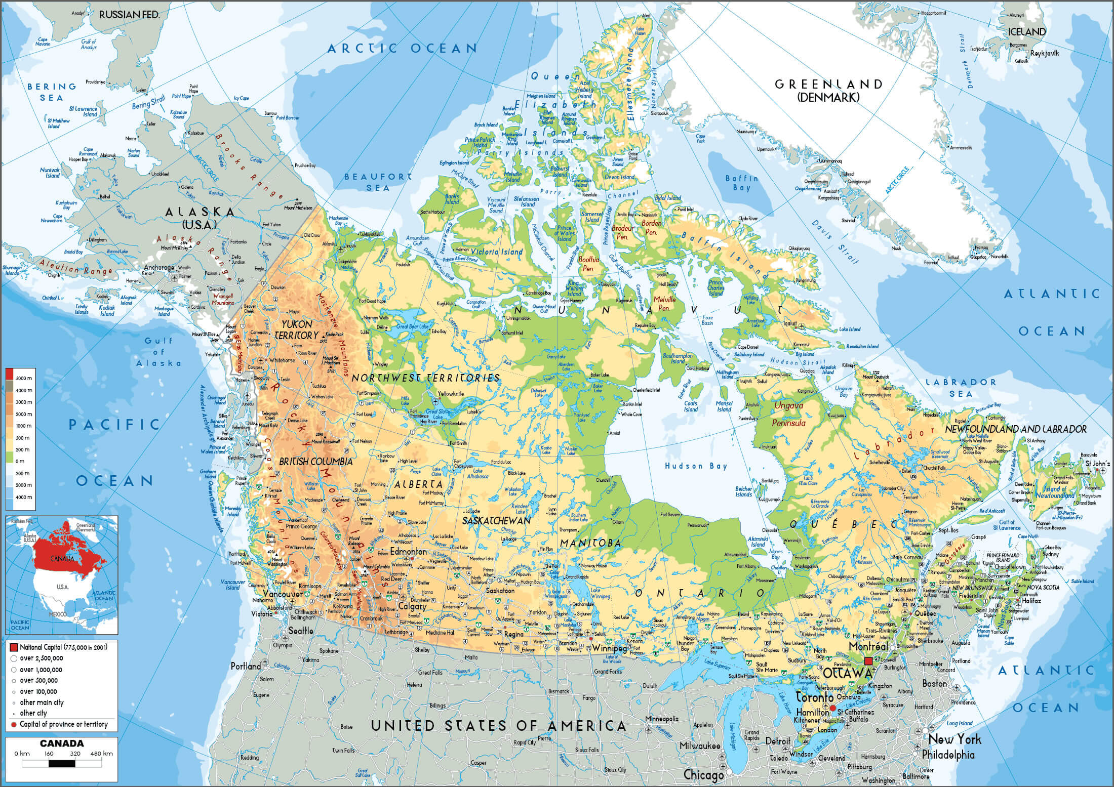
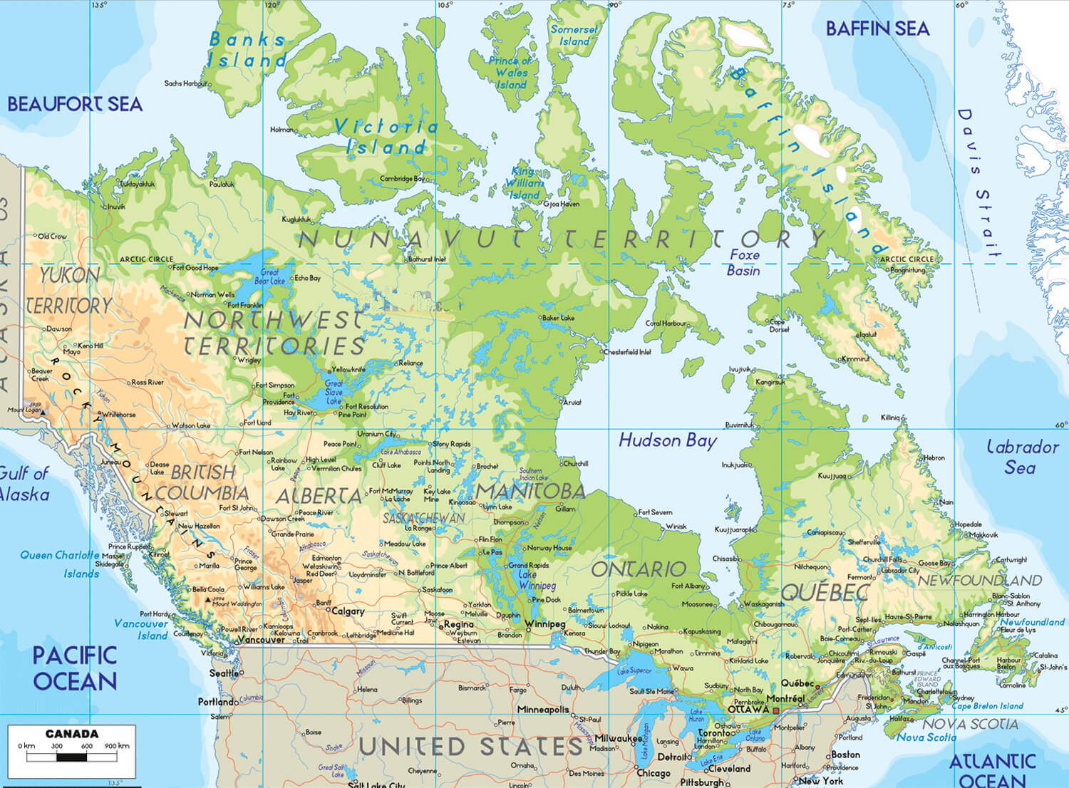
Physical map of Canada with cities, provinces, and natural features.
Physical map of Canada showing cities, provinces, and natural features.

This map highlights Canada’s Physical geography, including mountain ranges, rivers, and lakes, alongside major cities such as Toronto, Vancouver, and Montreal. It provides a detailed view of natural and urban features, showcasing the diverse landscapes and regional capitals across the country.

Canada Physical map with US and greenland
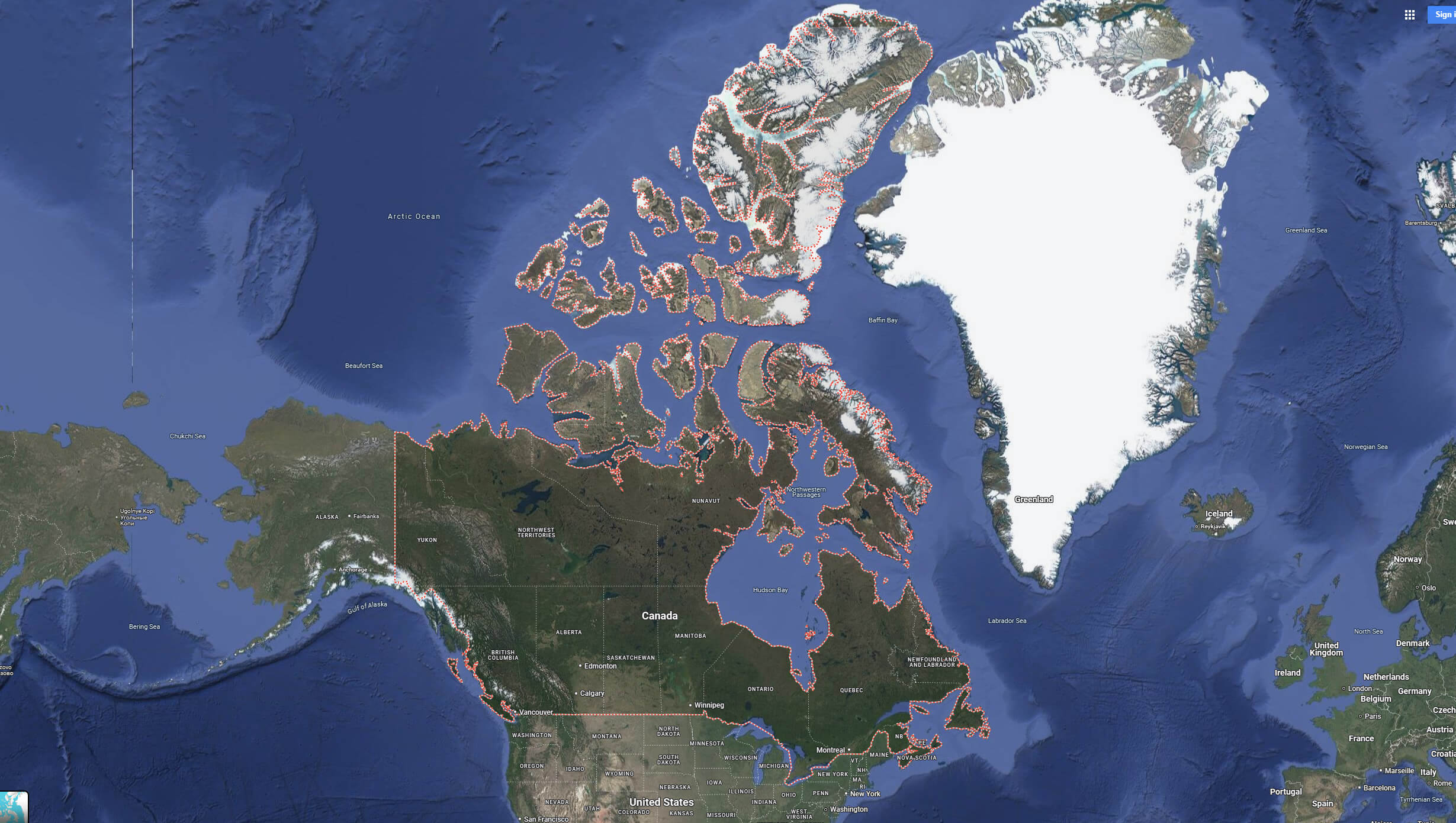
Canada Physical map with US and greenland

Canada Terrain Map
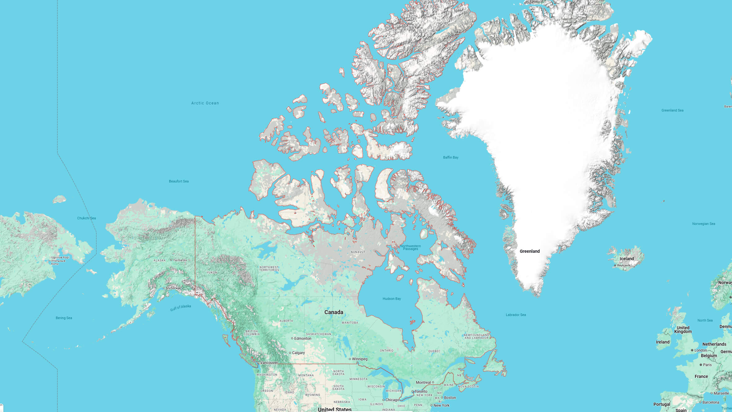
Canada Terrain Map

Canada map from space
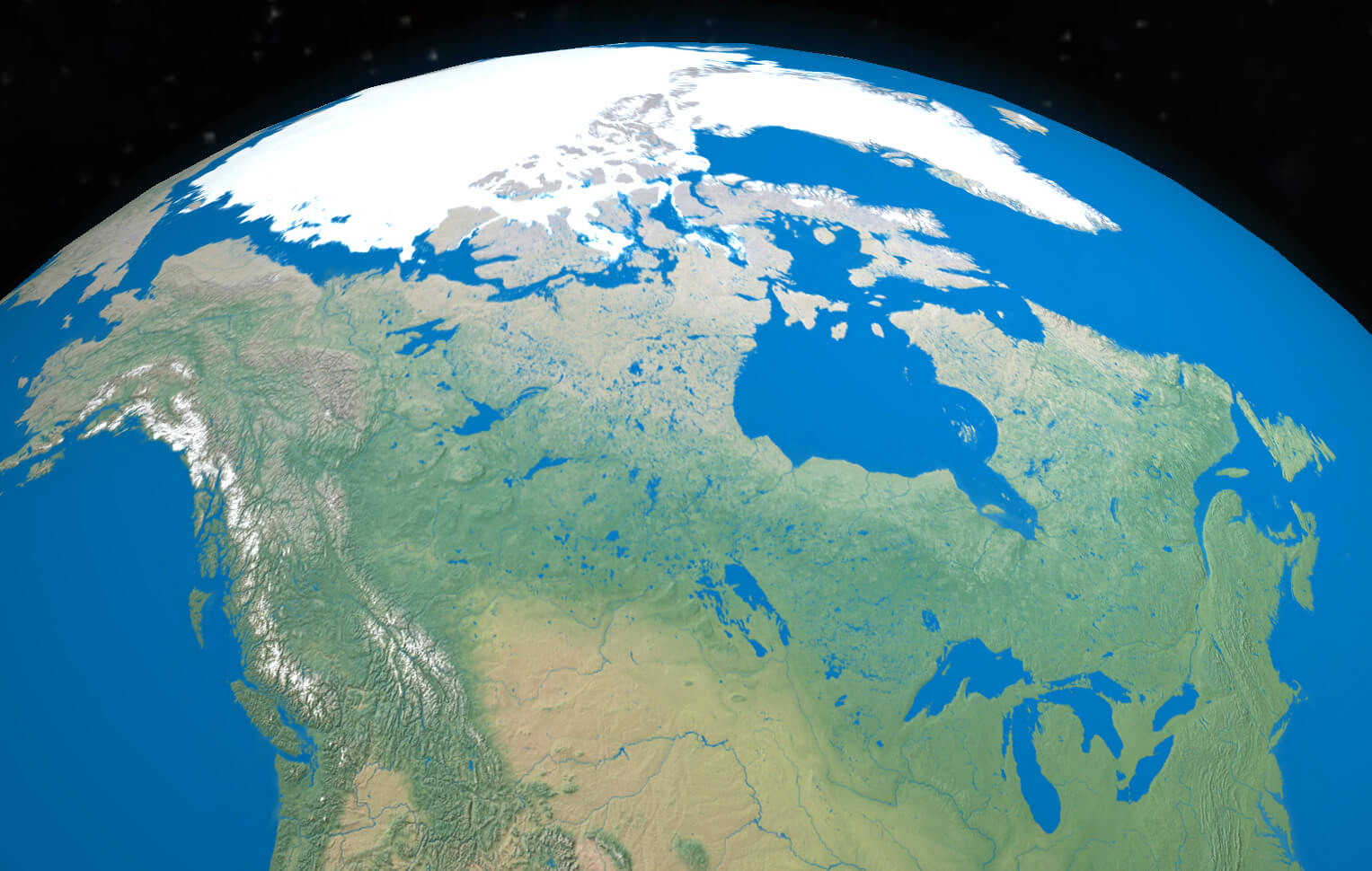
Canada map from space

Canada map with north and south america continents
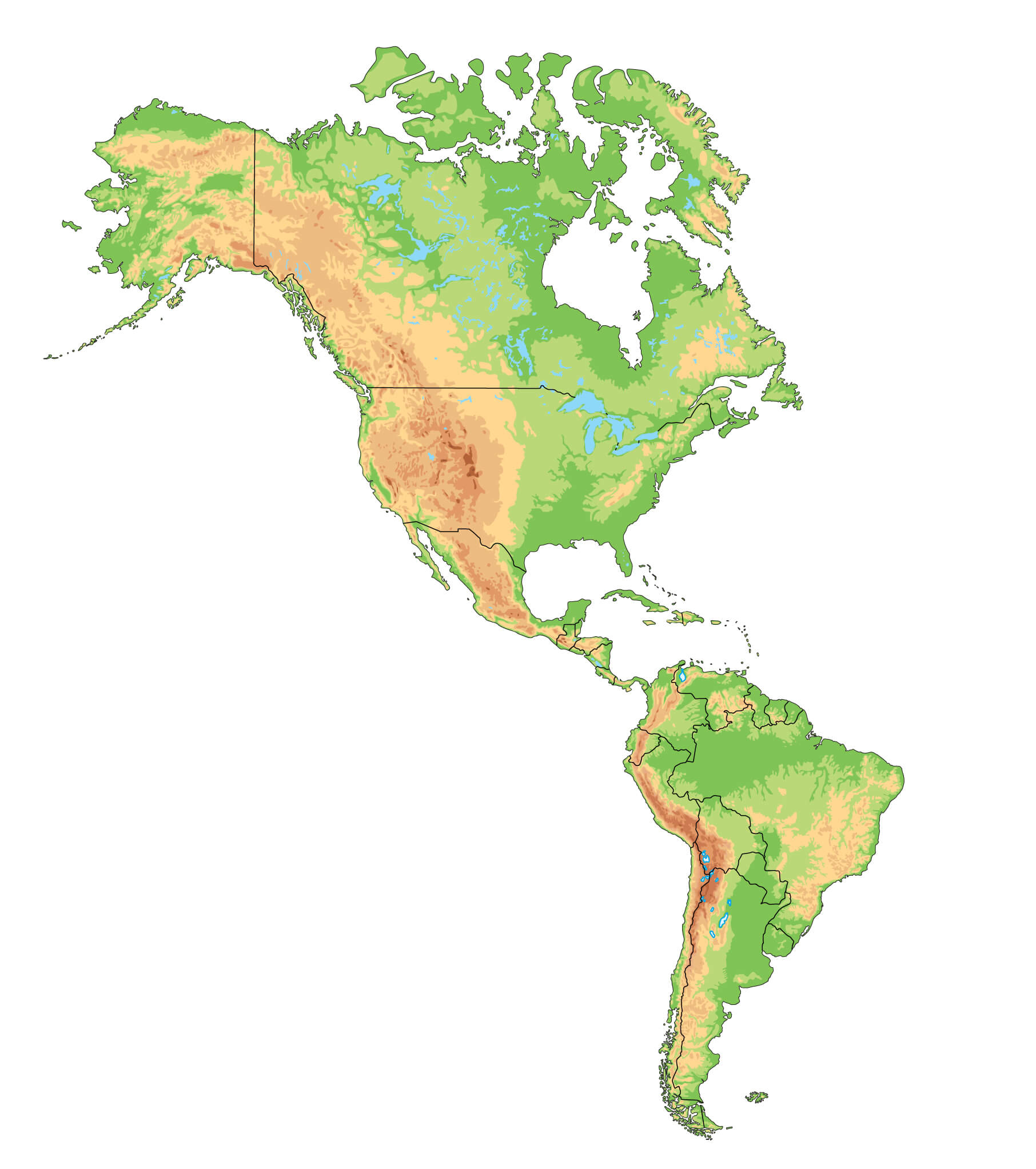
Canada map with north and south america continents

Where is Canada on North America Map?

Show Google interactive map, satellite map, where is the country located.

Get direction by driving, walking, bicycling, public transportation and travel with street view.

Feel free to explore these pages as well:

- Advertisement -
Previous article
Next article

Discover

Sponsor

Latest Posts

Map of Massachusetts

A collection maps of Massachusetts; View a variety maps of Massachusetts physical, political, relief map. Satellite image of Massachusetts, higly detalied maps, blank map...

Alhambra Map: Where is Alhambra, Location and Directions in California

Explore Alhambra's map, including city and terrain views, and discover its location within California and the United States. Situated in Los Angeles County, just...

Australia Map

https://youtu.be/7tndOviyRh0 A collection of Australia Maps; View a variety of Australia physical, political relief map, australia satellite image, higly detalied maps, blank map, Australia world...

Anguilla Map

Where is Anguilla, geography of Anguilla, enlargeable topographic map of Anguilla, including political maps, physical map, cities map, satellite images of Anguilla, location, itinerary,...

Kuwait Map

A collection of Kuwait Maps; View a variety of Kuwait physical, political, administrative, relief map, Kuwait satellite image, higly detalied maps, blank map, Kuwait...