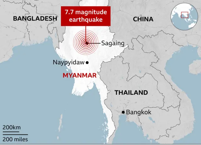
Where is Sagaing on the Myanmar Map and Asia Map. Powerful 7.7-magnitude Sagaing quake struck entire Myanmar region.
Sagaing earthquake map 2025
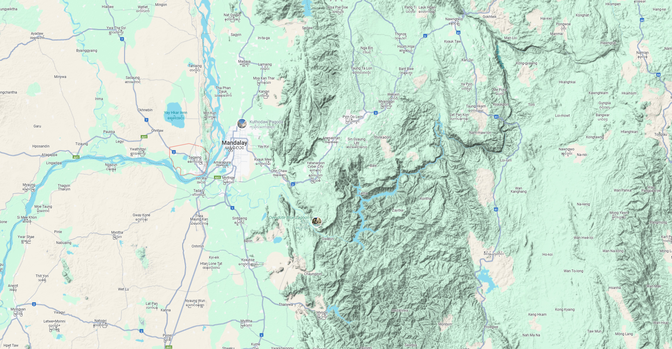
Sagaing Myanmar terrain map
Sagaing region map in Myanmar
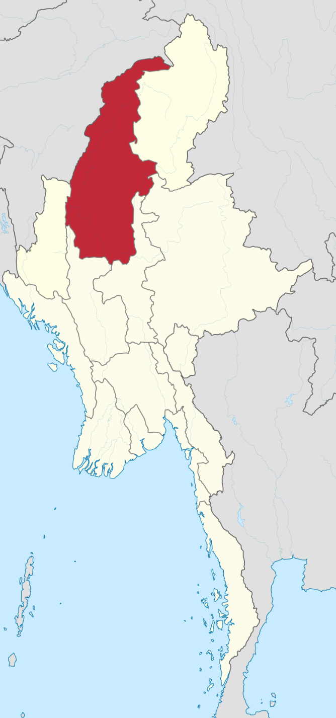
Sagaing state map Myanmar
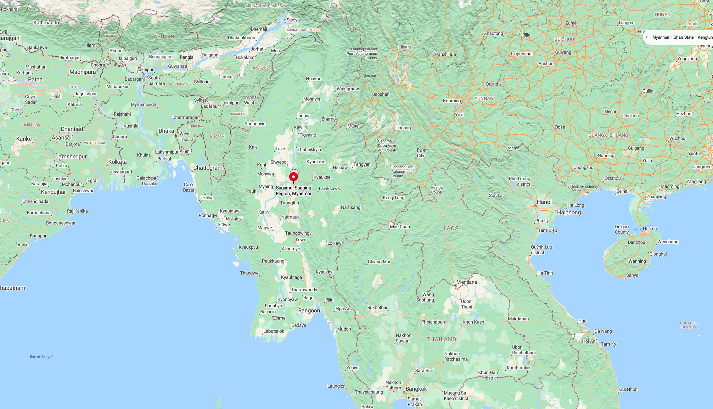
Where is Sagaing on the Myanmar map
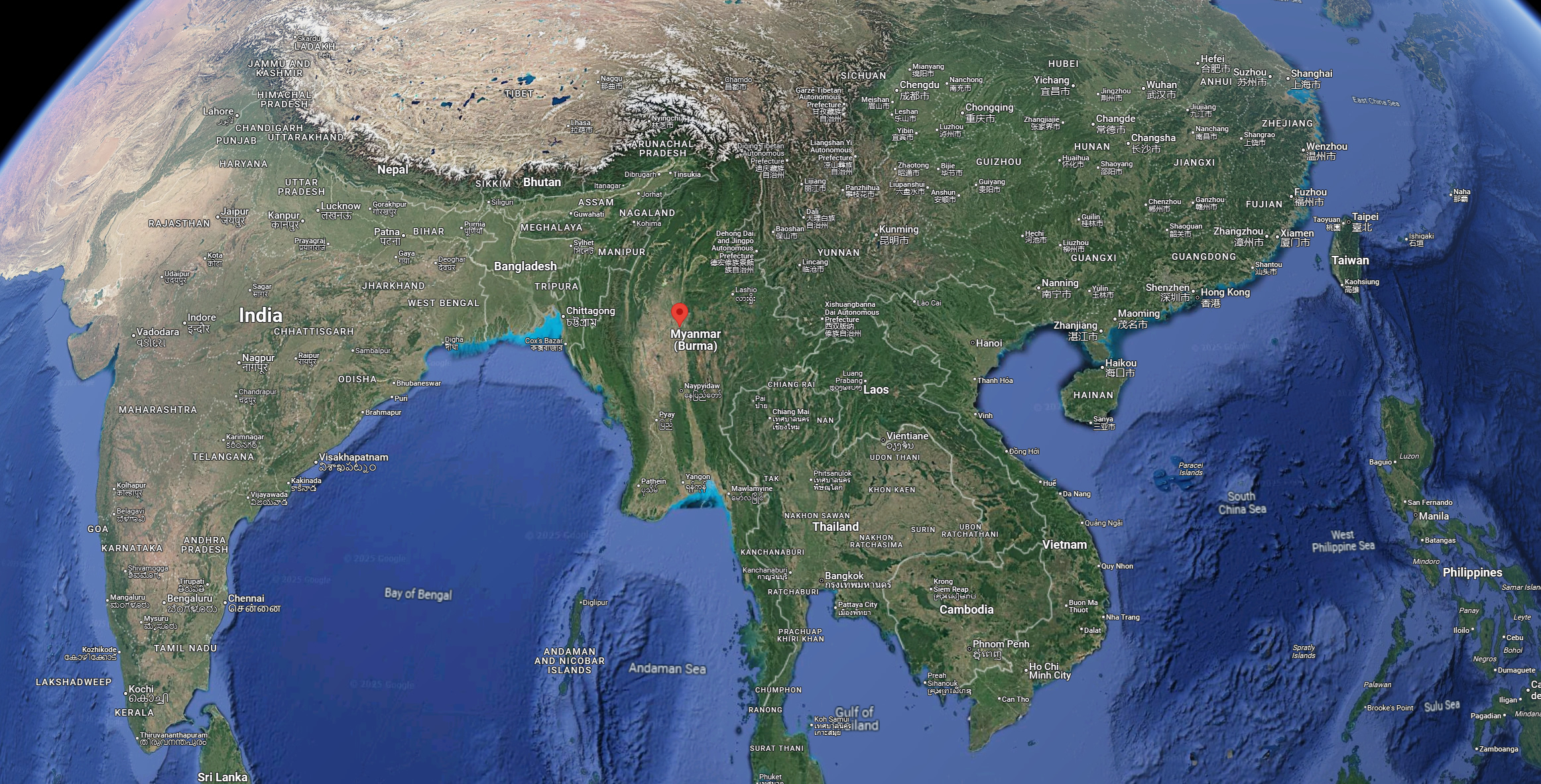
Where is Sagaing on the world map
About Sagaing
Sagaing Region (Burmese: စစ်ကိုင်းတိုင်းဒေသကြီး), formerly known as Sagaing Division, is an administrative region located in northwestern Myanmar. It lies between 21°30′N latitude and 94°97′E longitude. The region shares borders with the Indian states of Nagaland, Manipur, and Arunachal Pradesh to the north; Kachin State, Shan State, and Mandalay Region to the east; Mandalay and Magway Regions to the south; and Chin State and India to the west. The Ayeyarwady River forms much of its eastern and southern boundary.
Sagaing Region covers an area of approximately 93,527 square kilometers (36,111 square miles). In 1996, the population was around 5.3 million, which grew to about 6.6 million by 2012. Of this, around 1.23 million lived in urban areas, while 5.36 million resided in rural parts of the region.
Sagaing is the capital city, while Monywa serves as the administrative capital and the largest city in the region.
Where is Sagaing on the Myanmar Map?
Show Google interactive map, satellite map, where is the country located.
Get directions by driving, walking, bicycling, public transportation, and traveling with street view.
Feel free to explore these pages as well:
- Myanmar (Burma) Map ↗️
- China Map ↗️
- Vietnam Map ↗️
- Indonesia Map ↗️
- Philippines Map ↗️
- Brunei Map ↗️
- Malaysia Maps ↗️
- Where is Taiwan in the World and A Collection of Taiwan Maps ↗️
- Japan Map ↗️
- North Korea Map ↗️
- South Korea Map ↗️
- Asia Maps ↗️