- Advertisement -
A collection of Indonesia Maps; View a variety of Indonesia physical, political, administrative, relief map, Indonesia satellite image, higly detalied maps, blank map, Indonesia world and earth map, Indonesia’s regions, topography, cities, road, direction maps and atlas.
Indonesia Map
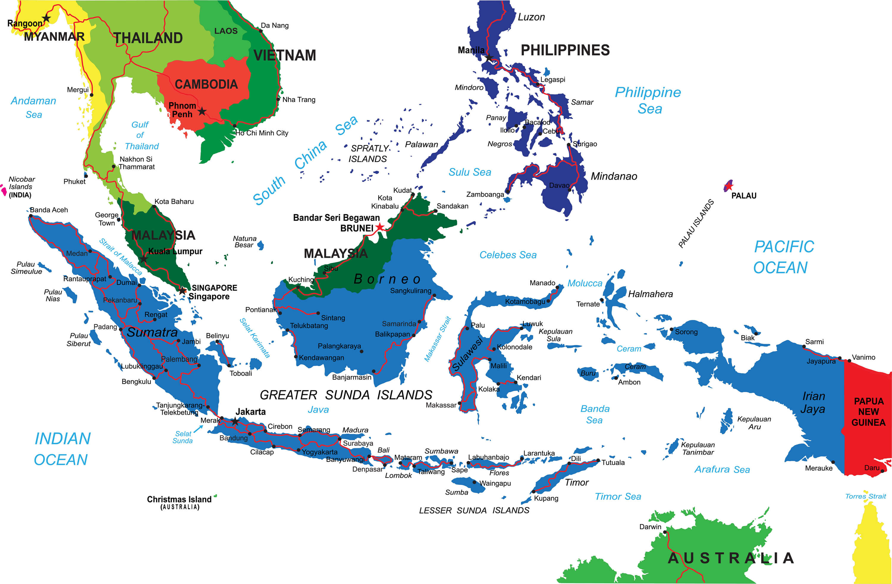 Indonesia map with major cities, national borders.
Indonesia Physical Map
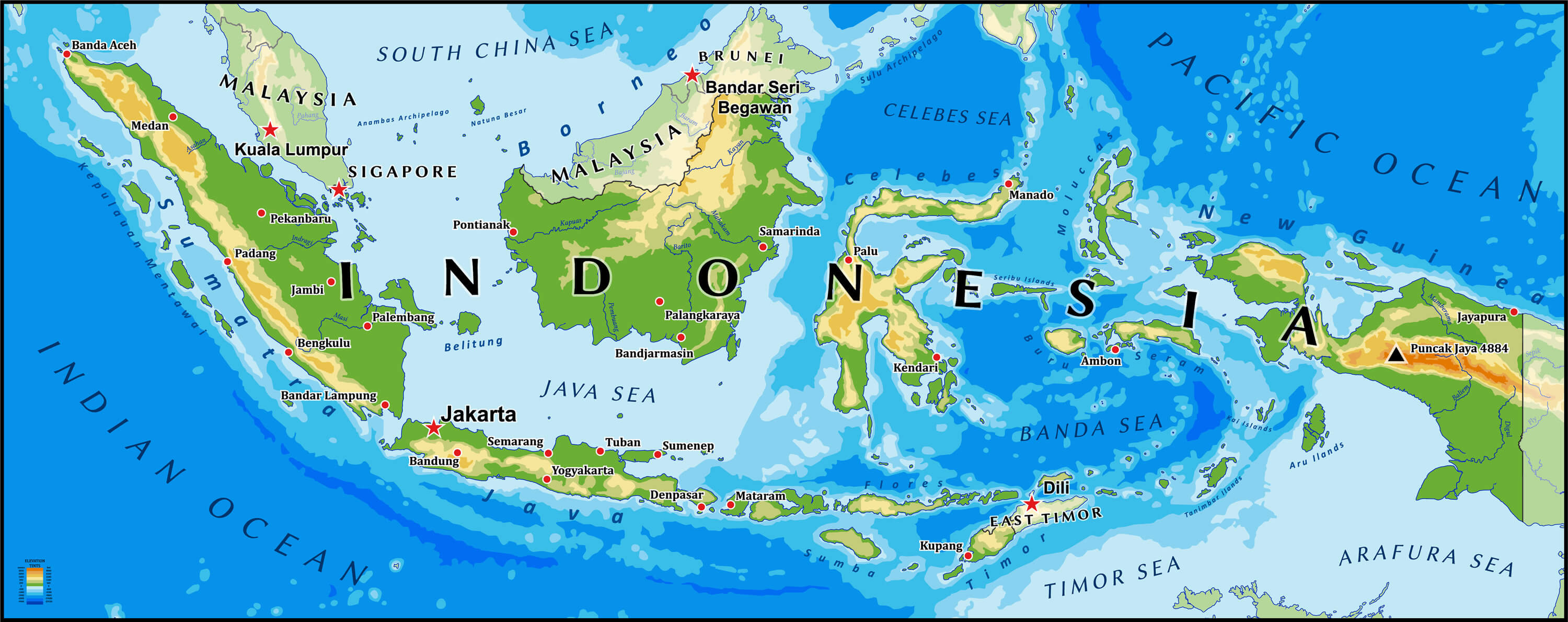
Indonesia physical vector map with main cities and rivers.
Indonesia Political Map
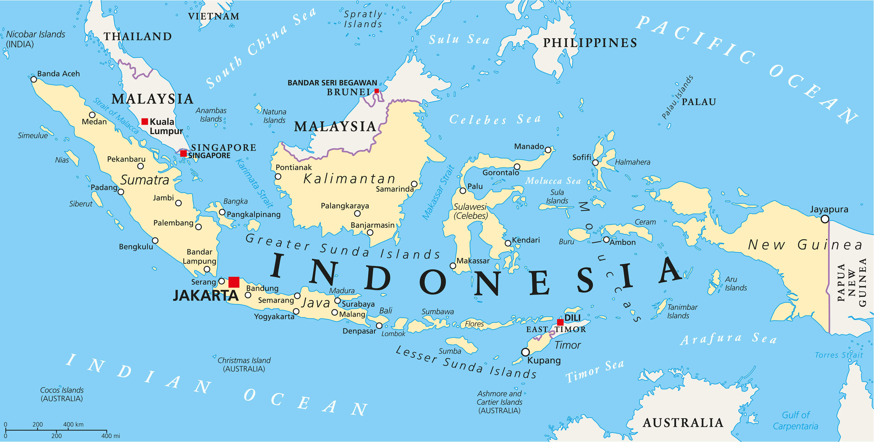
Indonesia political map with capital Jakarta, national borders and important cities. English labeling and scaling.
Republic of Indonesia Map
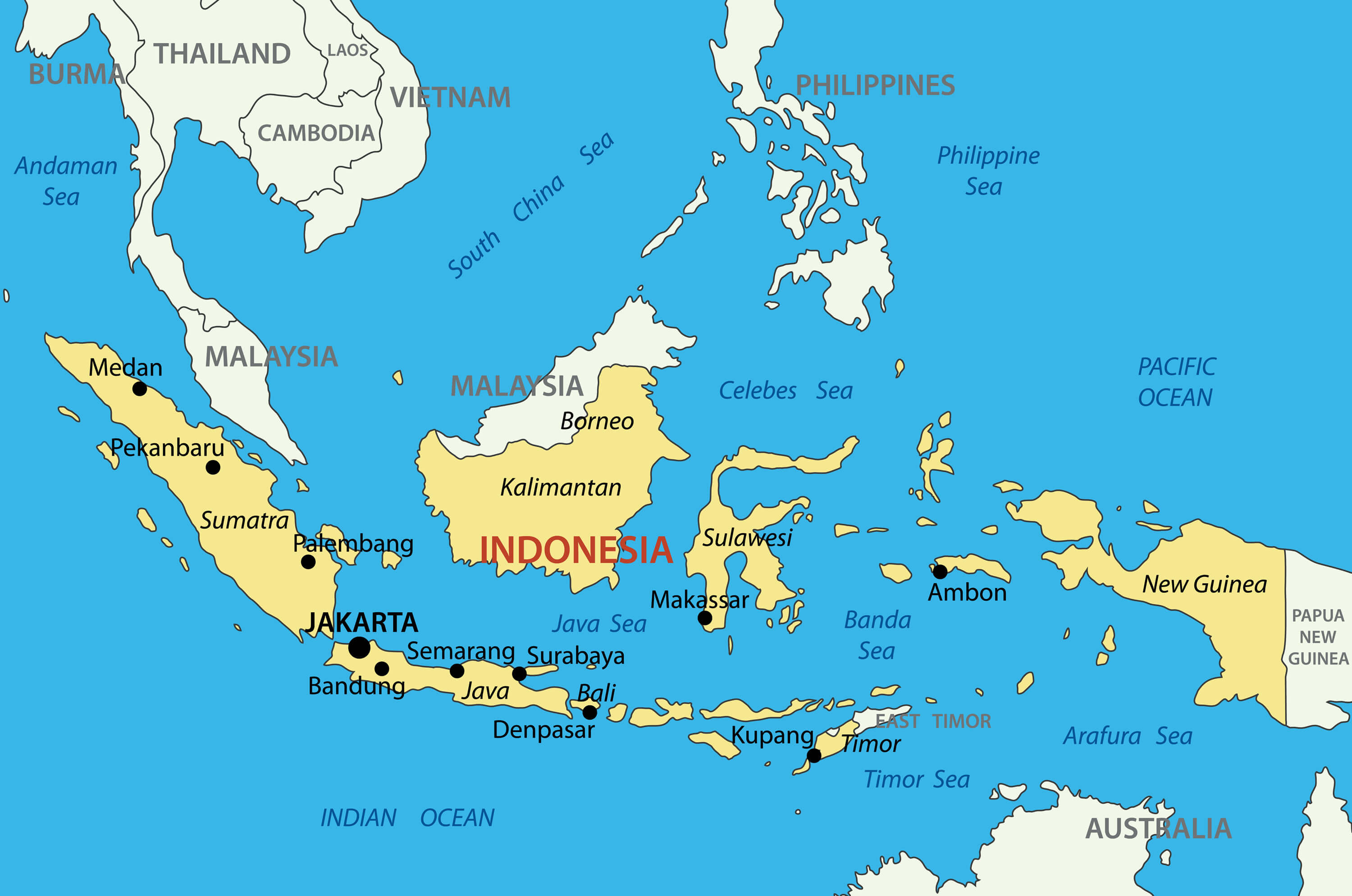
Republic of Indonesia map with main cities.
Indonesia Physical Vector Map
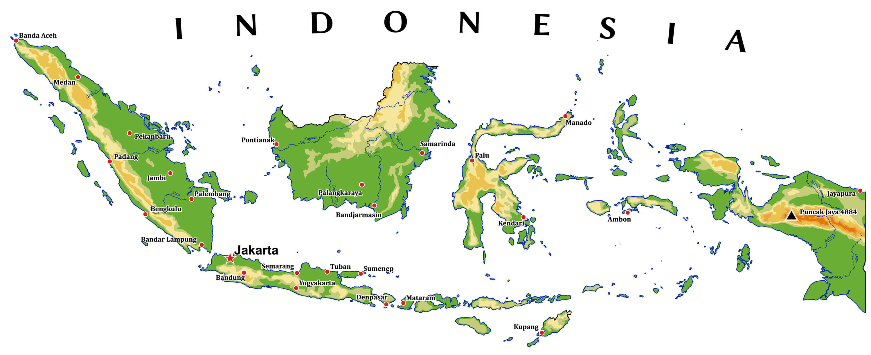
Indonesia physical vector map with main cities and rivers.
Indonesia Travel Map
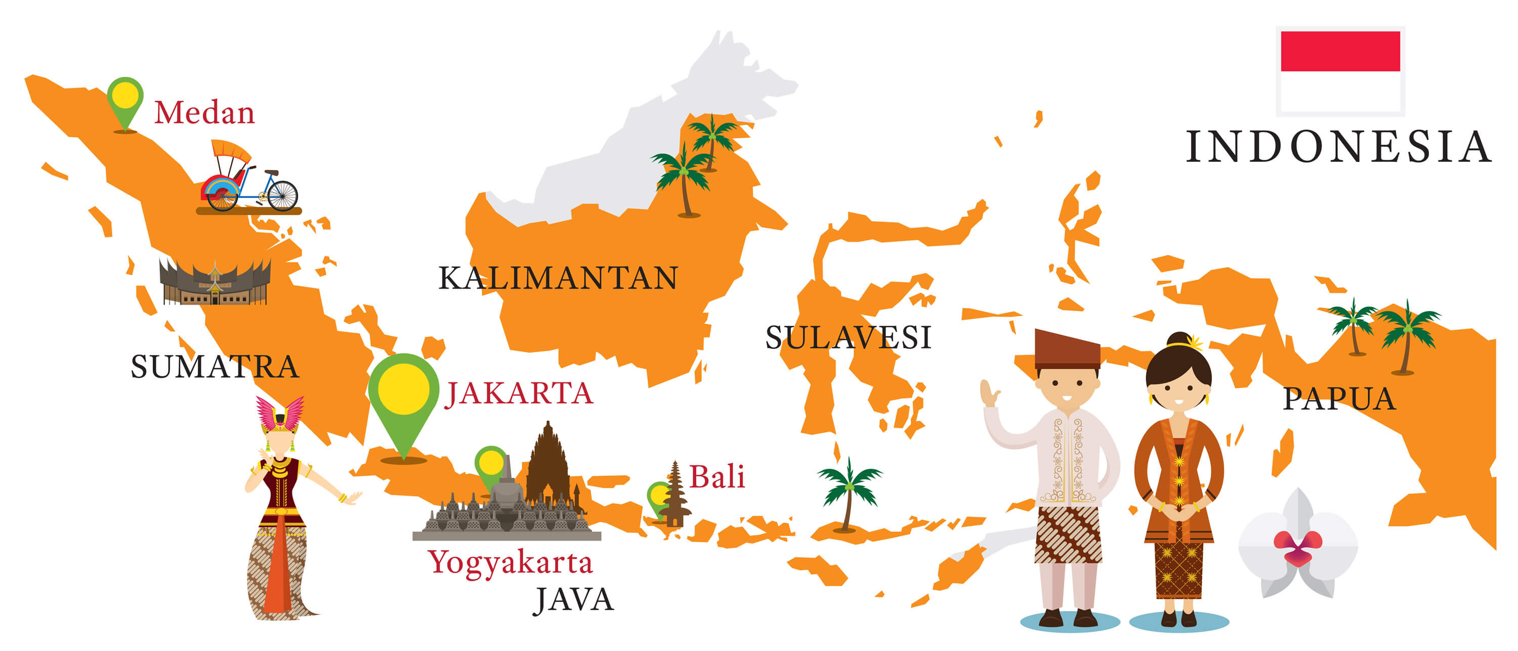
Indonesia Map and Landmarks with People in Traditional Clothing, Culture, Travel and Tourist Attraction.
Where is Indonesia on the Asia Map?
Show Google map, satellite map, where is the country located.
Get directions by driving, walking, bicycling, public transportation and travel with street view.
Feel free to explore these pages as well:
- Indonesia ↗️
- Indonesia Map ↗️
- Brunei Map ↗️
- Map of Indonesia ↗️
- Discovering Bandung: The Paris of Java ↗️
- Discovering Bali: The Island of Gods and Beauty ↗️
- Top 10 Must-Visit Spots in Bali for Travelers ↗️
- Brunei Map ↗️
- Singapore ↗️
- Singapore Maps ↗️
- Philippines Map ↗️
- Map of Asia ↗️
- Asia Map ↗️
- Advertisement -
