Singapore has a population of 5,312,400 people, Singapore’s capital city is Singapore, and largest city Singapore.
Singapore personnel income per capita is $50,323, the jobless rate is 0.05%, and its currency Singapore dollar (SGD) . Singapore’s official languages and most spoken dialects are English, Malay, Chinese, Tamil.
A Collection of Singapore Photos
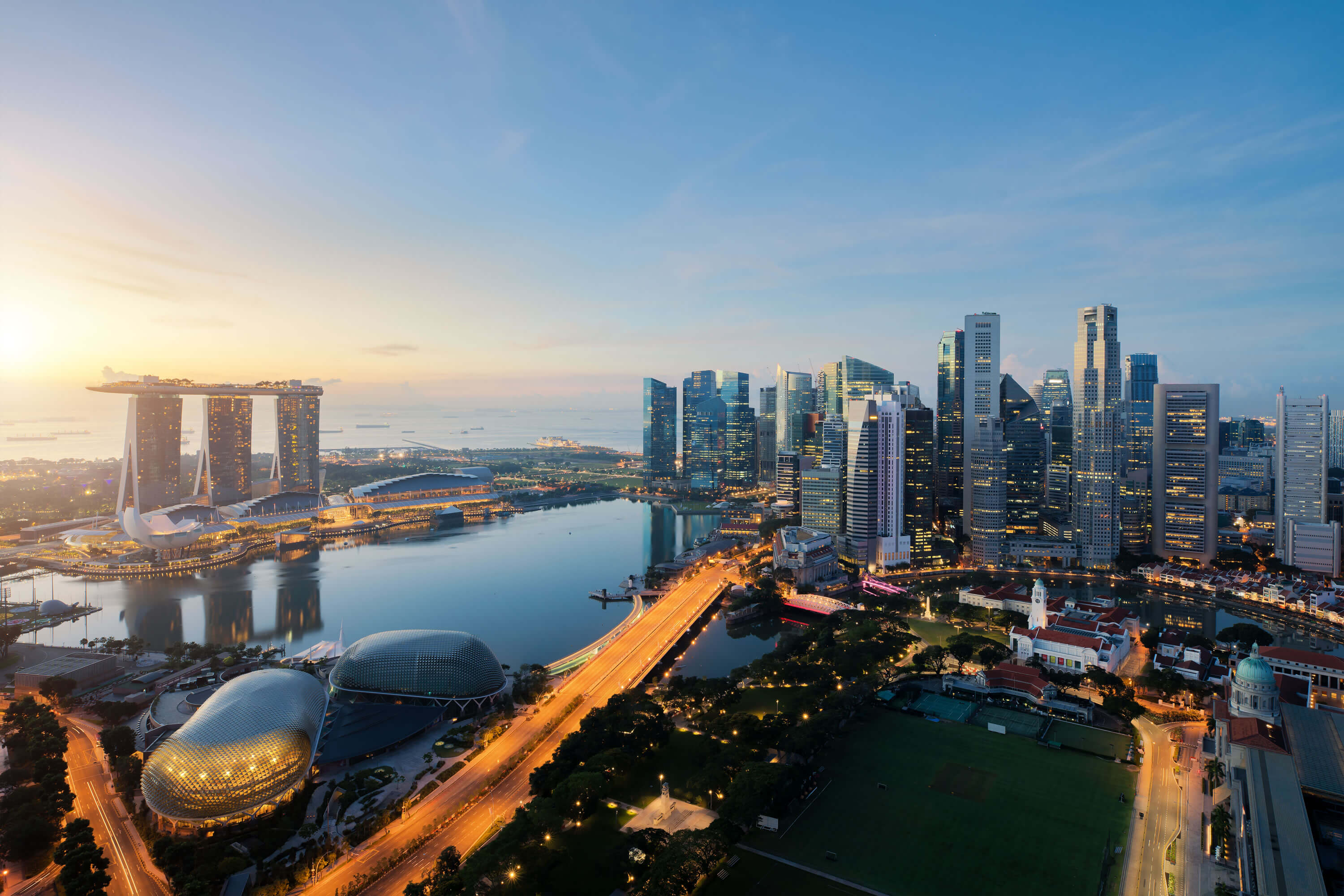 Aerial view of Singapore business district and city at twilight in Singapore, Asia.
Singapore City Skyline
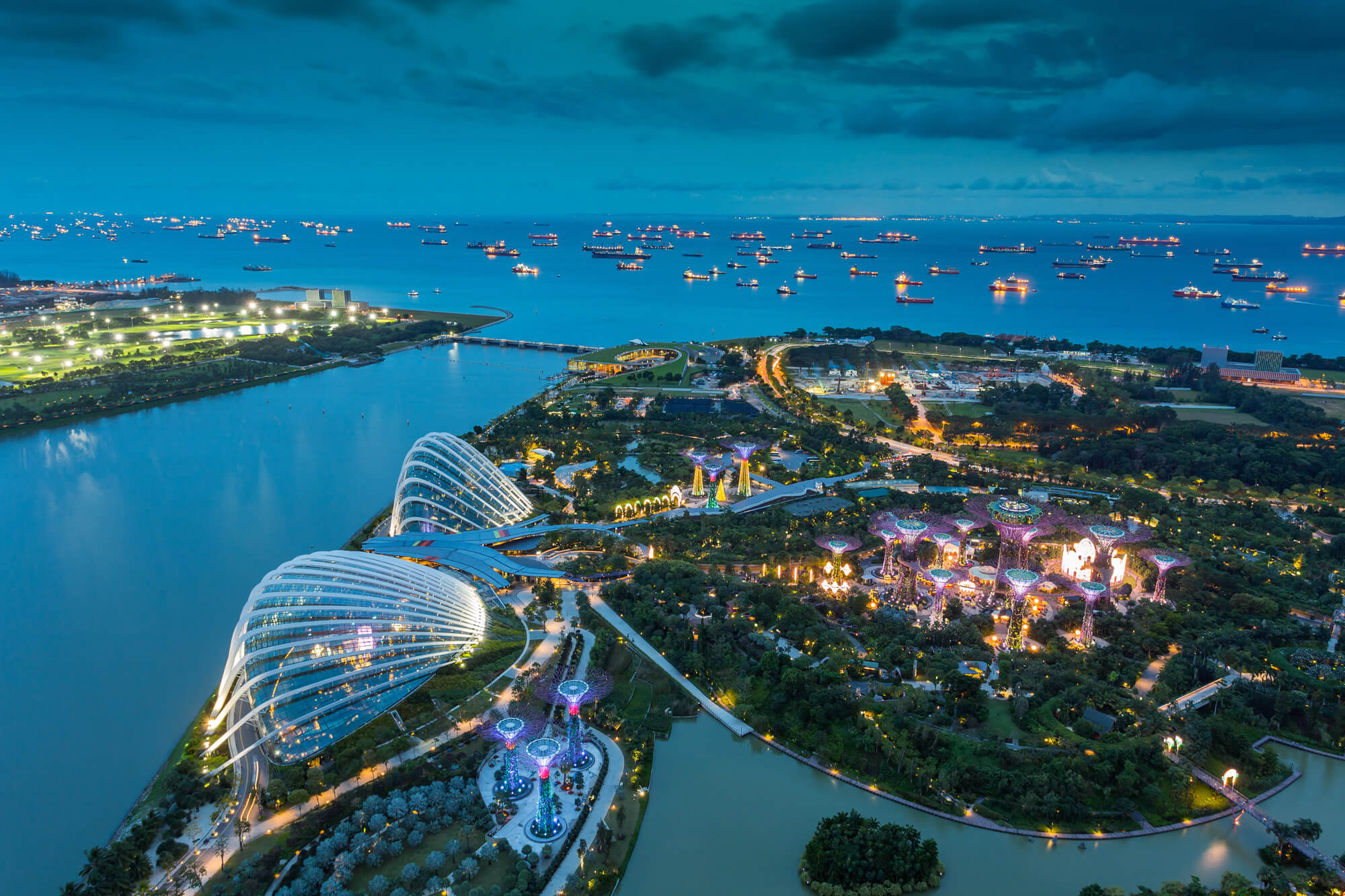
Singapore city skyline with aerial view.
Hotel in Singapore City

Asian girl swims in the swimming pool on the rooftop of a hotel in Singapore city, Singapore and summer concept.
Marina Barrage, Singapore
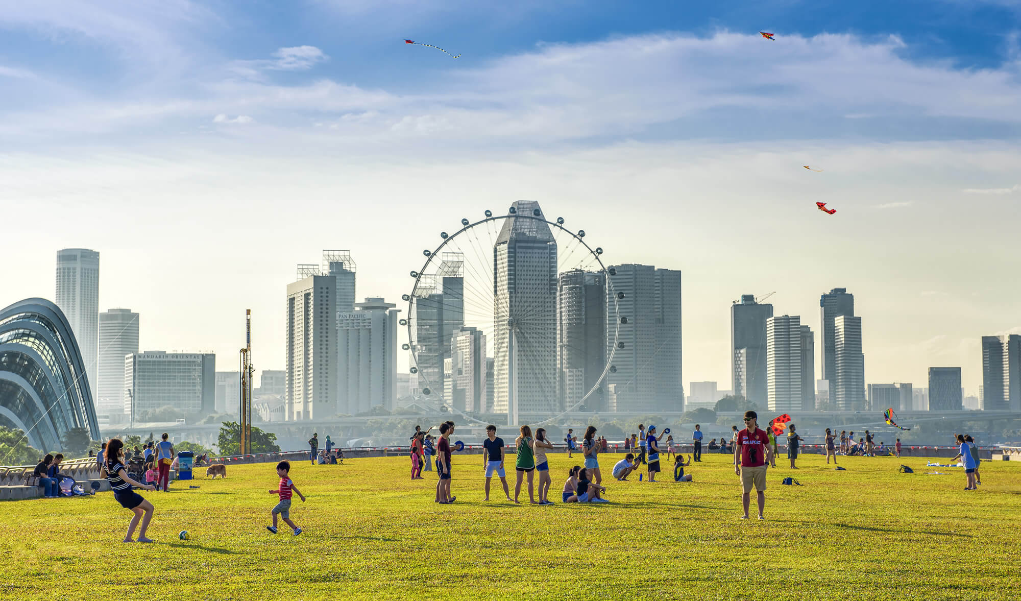
Singapore – August 13rd, 2016: Many People enjoying and playing at Marina Barrage. Marina Barrage is the water-supply place of Singapore and is the park for outdoor activities of Singapore people.
Singapore Sunset
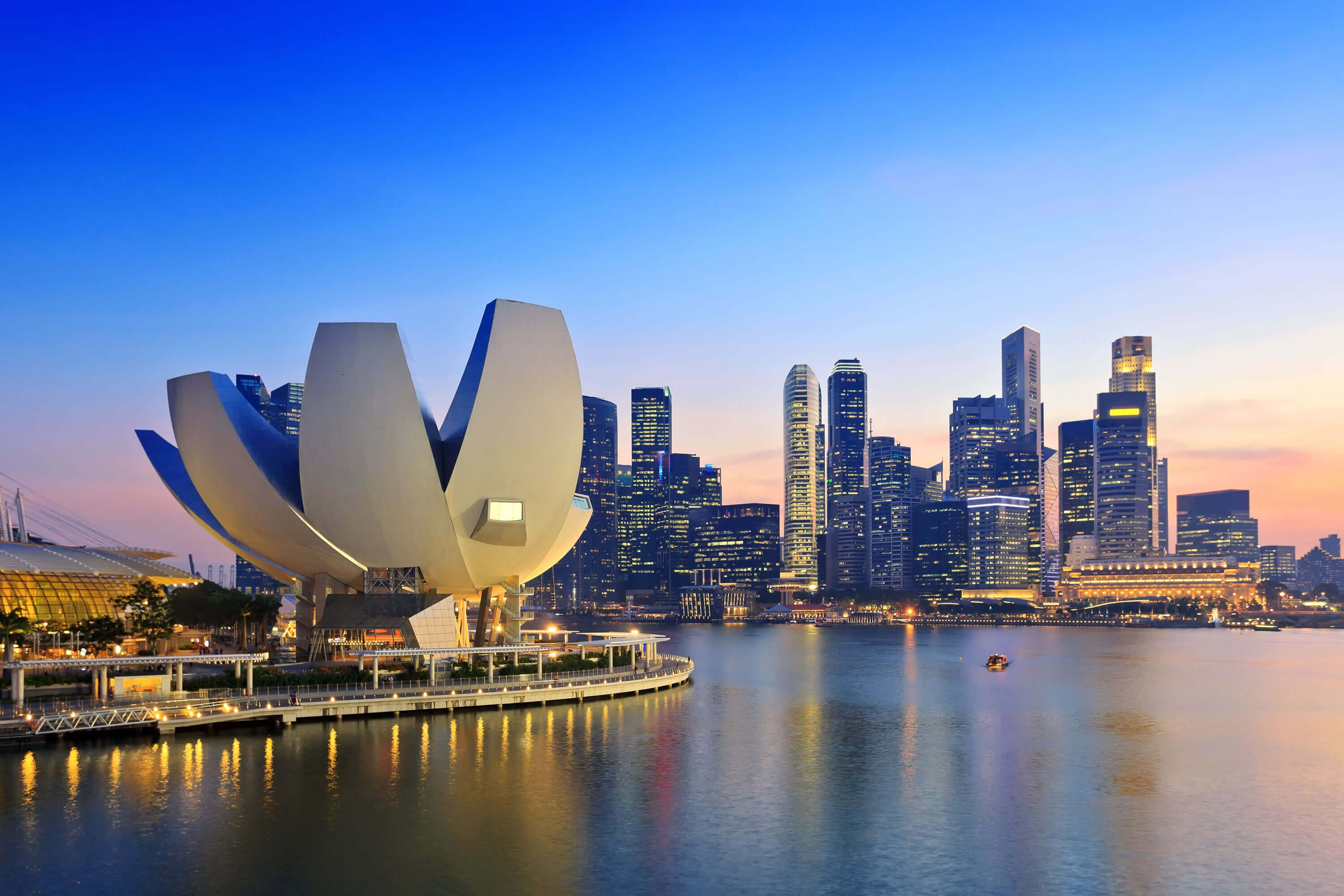
Singapore sunset city skyline at business district, Marina Bay, Singapore.
Singapore Skylines
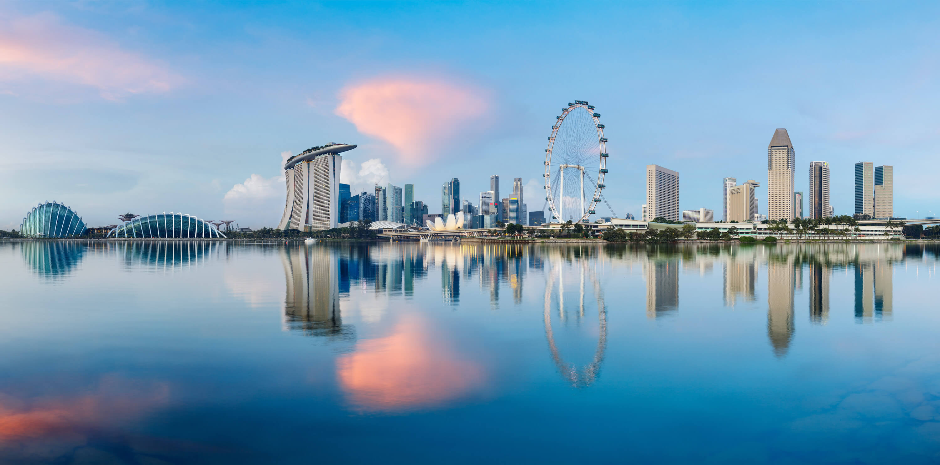
Singapore city skylines from the sea.
Singapore financial district
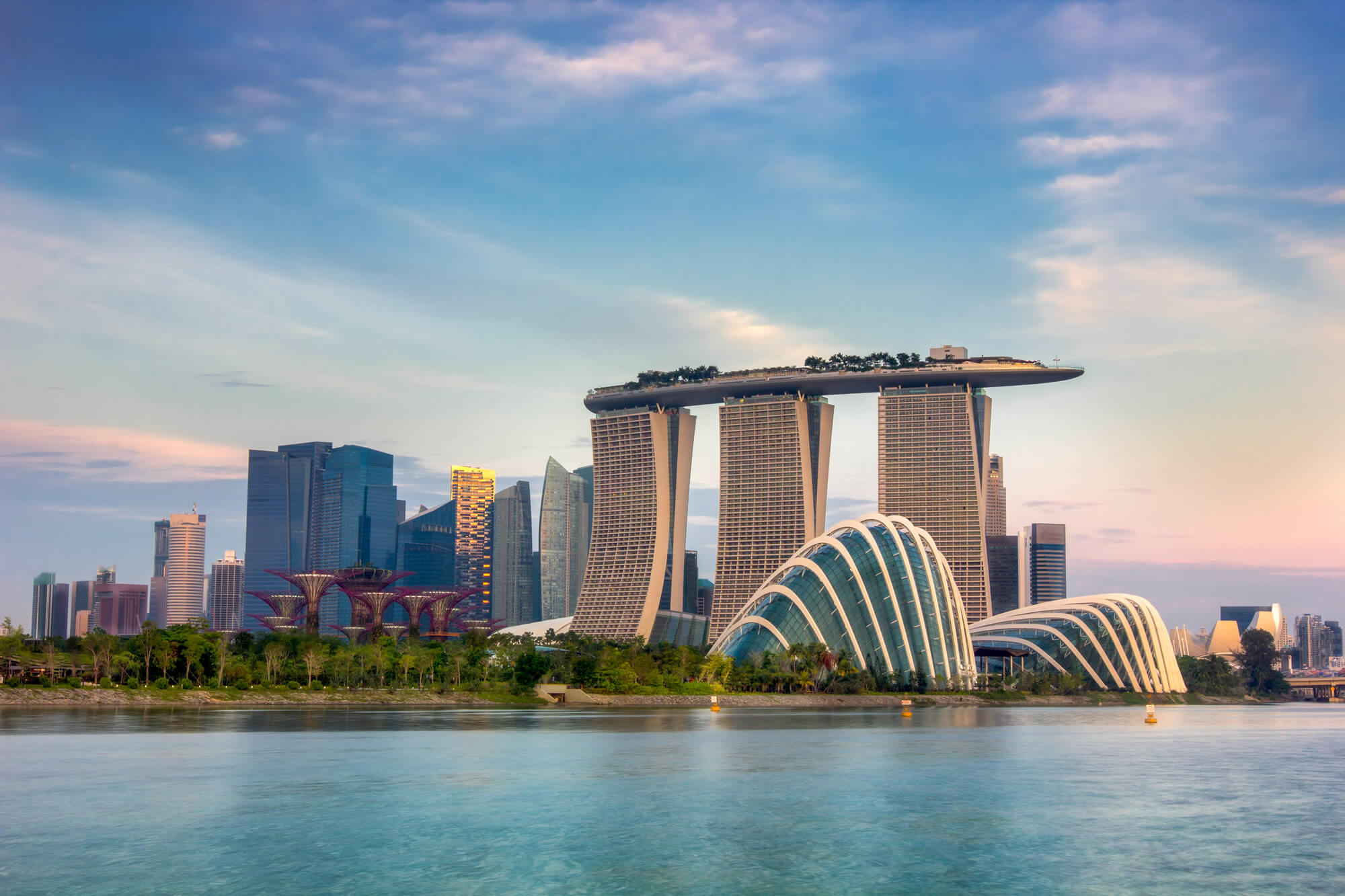
Landscape of the Singapore financial district.
Landscape of Singapore City
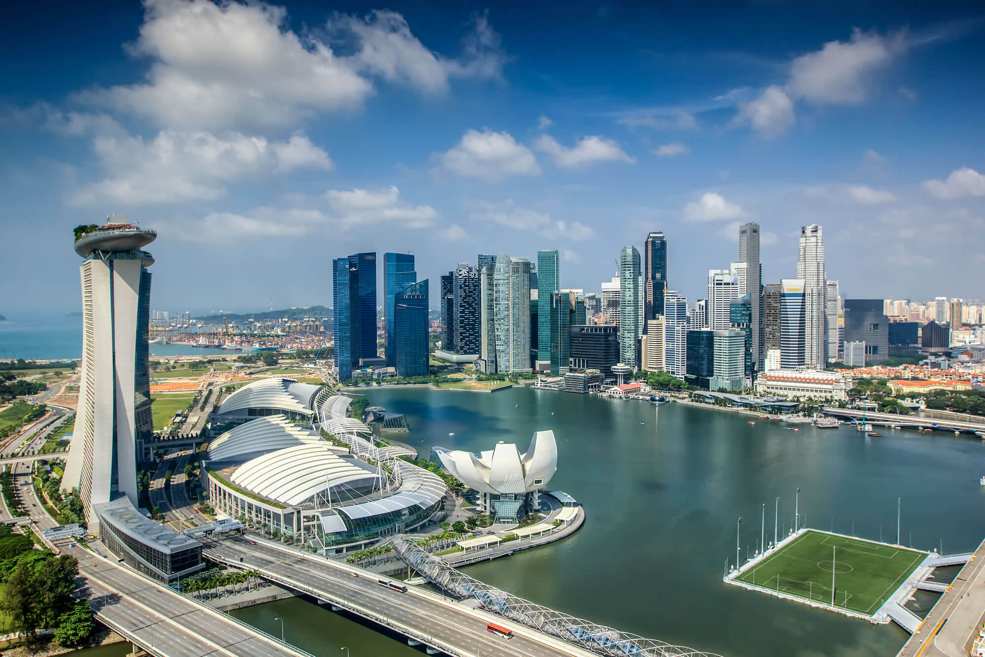
Landscape of Singapore city in the morning time.
Singapore business district
Where is Singapore on the Asia Map?
Show Google map, satellite map, where is the country located.
Get directions by driving, walking, bicycling, public transportation and travel with street view.
Feel free to explore these pages as well:
- Singapore Maps ↗️
- Singapore ↗️
- Malaysia ↗️
- Malaysia Maps ↗️
- Indonesia Map ↗️
- Brunei Map ↗️
- Asia Maps ↗️
