A collection of North Korea Maps; View a variety of North Korea physical, political, administrative, relief map, North Korea satellite image, higly detalied maps, blank map, North Korea world and earth map, North Korea’s regions, topography, cities, road, direction maps and atlas.
Democratic People’s Republic of Korea Map
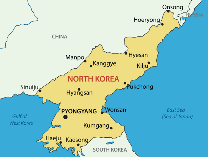
North Korea Relief Map
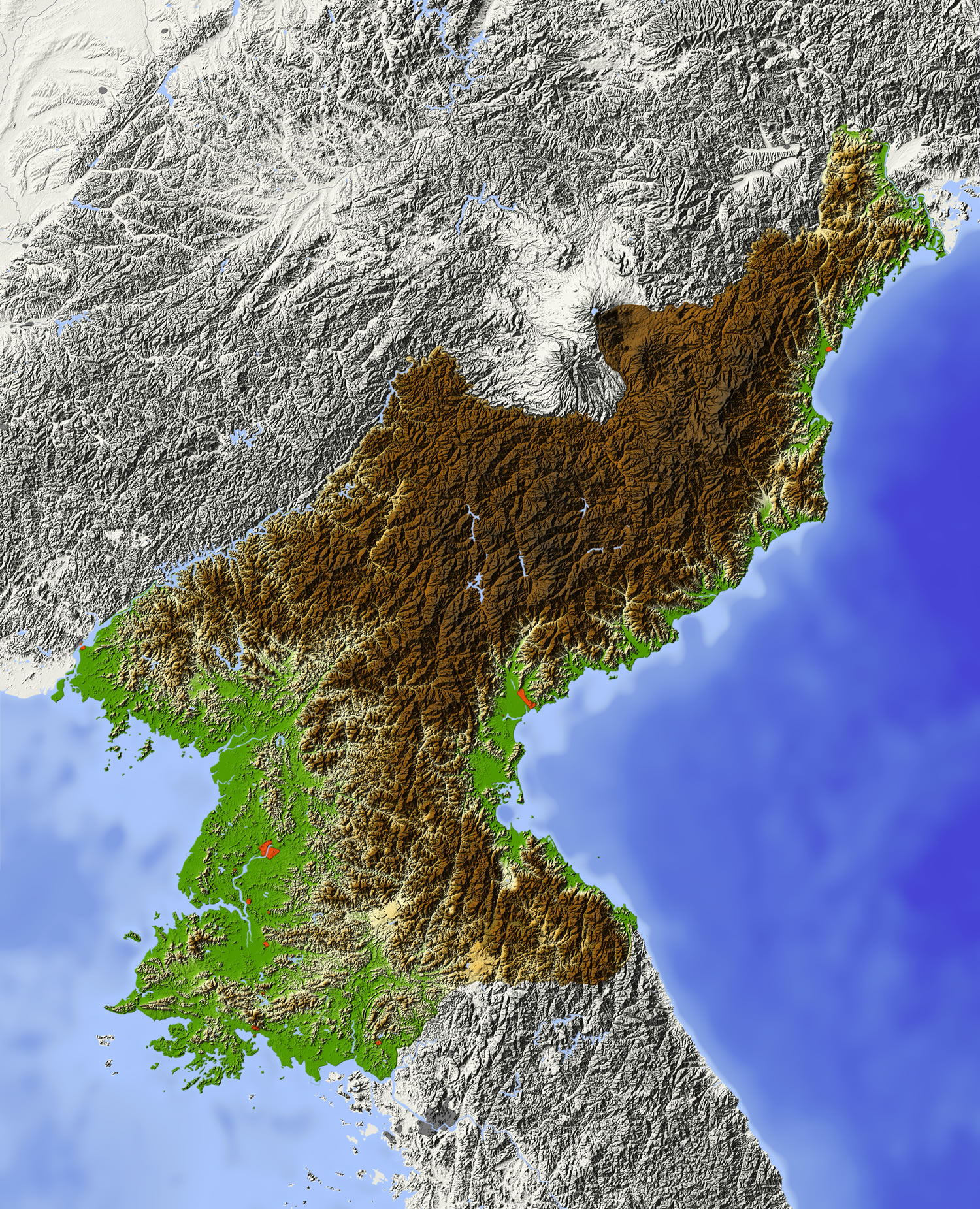
North Korea Shaded relief map, with major urban areas. Surrounding territory greyed out. Colored according to elevation. Includes clip path for the state area.
Japan and the Korean Peninsula Map
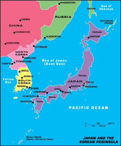
Japan and the Korean Peninsula Map, North Korea and South Korea.
North Korea Earth Map
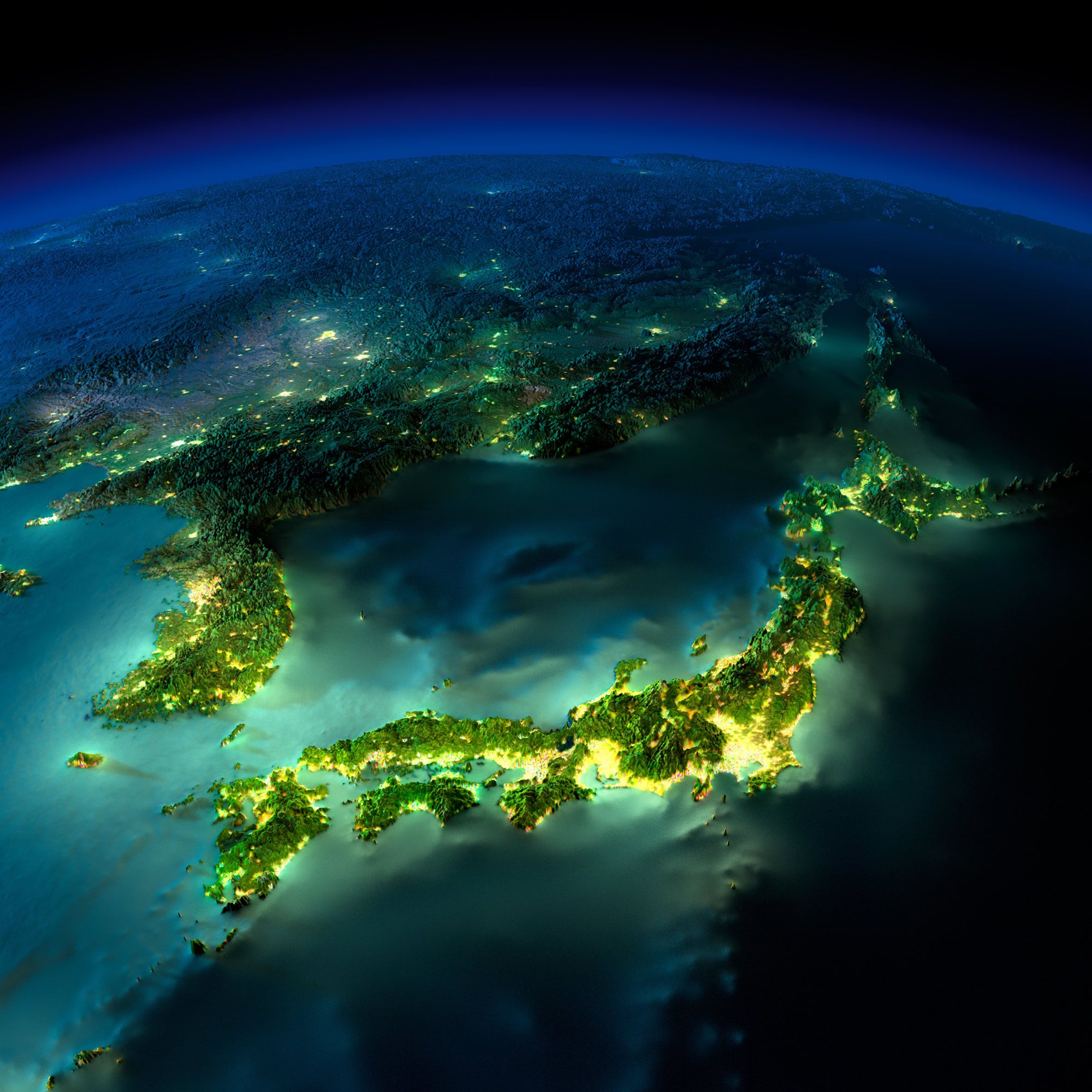
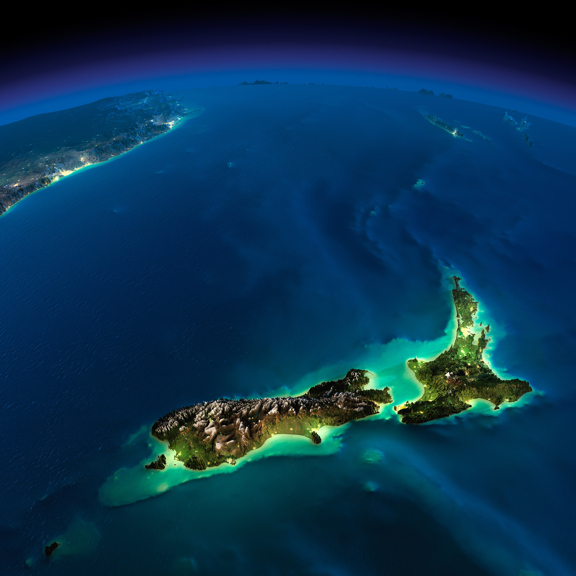
Highly detailed Earth, illuminated by moonlight. The glow of cities sheds light on the detailed exaggerated terrain and translucent water of the oceans.
South and North Korea Map
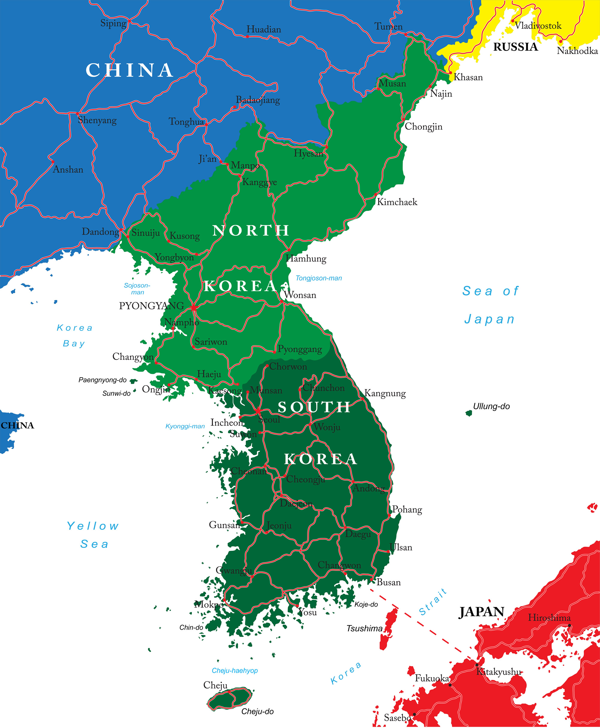
South and North Korea map with main cities.
Korean Peninsula Map
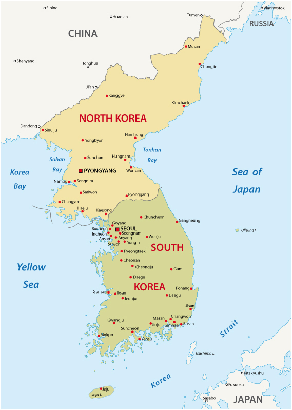
Korean peninsula map, Noth Korea and South Korea major cities.
North Korea Administrative Map
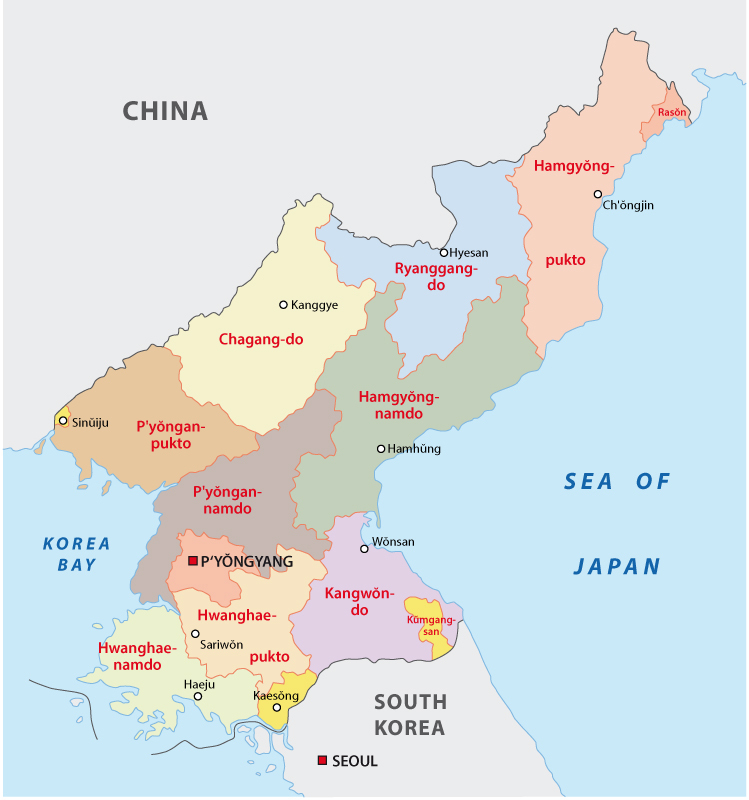
North Korea Administrative Map with regions.
Korea and Japan Satellite Map
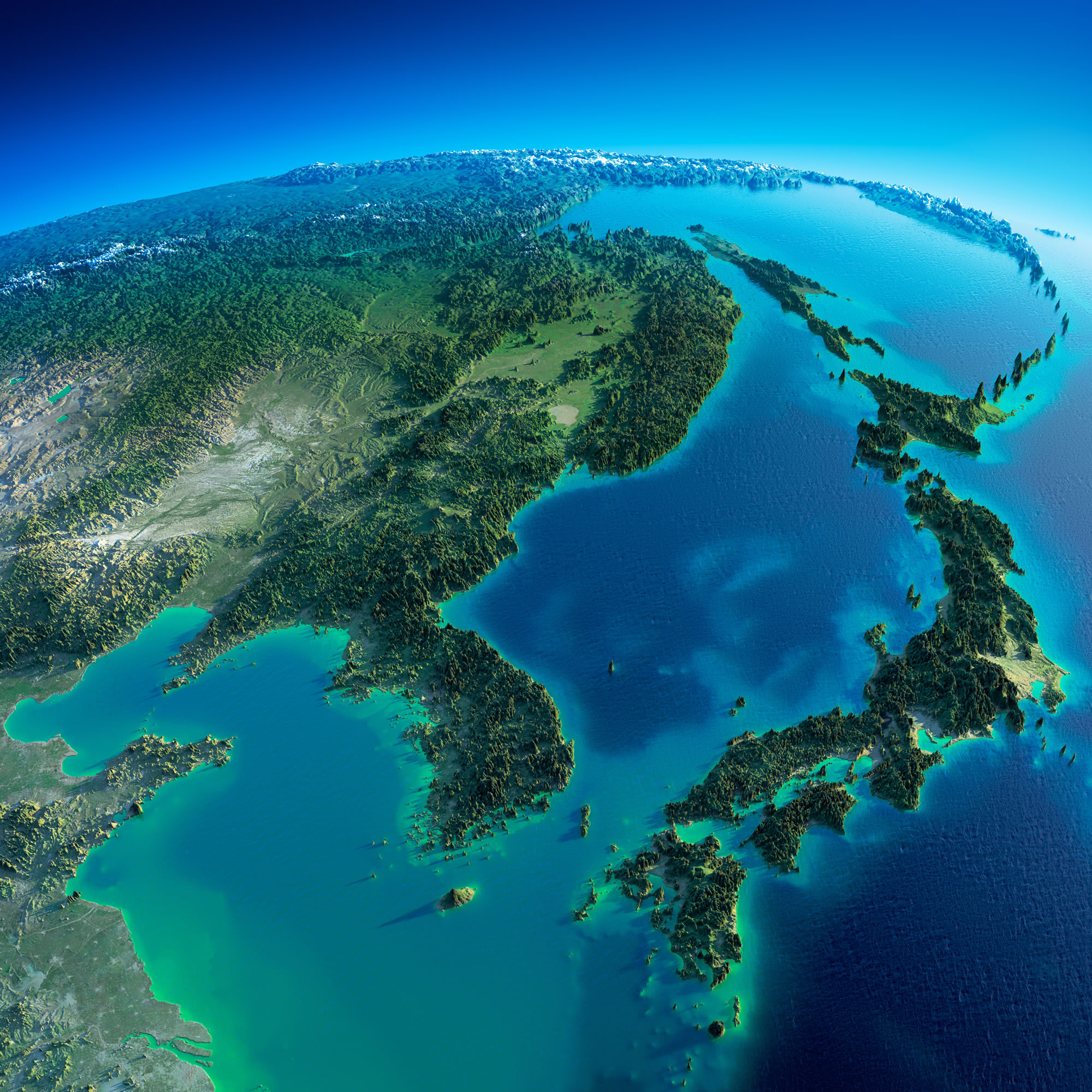
Highly detailed planet Earth in the morning. Exaggerated precise relief lit morning sun. Detailed Earth. Korea and Japan.
Korea Blank Map
Korea Peninsula Blank Map, South Korea and North Korea.
Where is North Korea on the Asia Map?
Show Google Interactive Maps and satellite maps of where the country is located.
Get directions by driving, walking, bicycling, public transportation and travel with street view.
Feel free to explore these pages as well:
- Map of North Korea ↗️
- North Korea ↗️
- South Korea Map ↗️
- South Korea ↗️
- A Traveler’s Guide to Seoul: Top 10 Must-Visit Spots ↗️
- China Map ↗️
- Map of China ↗️
- Learn More About Taiwan and Facts ↗️
- Where is Taiwan and Highly Detailed Taiwan Maps ↗️
