A collection maps of North Korea; View a variety maps of North Korea physical, political, relief map. Satellite image of North Korea, higly detalied maps, blank map of North Korea, World and Earth. And find more North Korea’s country, regions, topography, cities, road, rivers, national, directions maps and atlas.
North Korea Map with flag
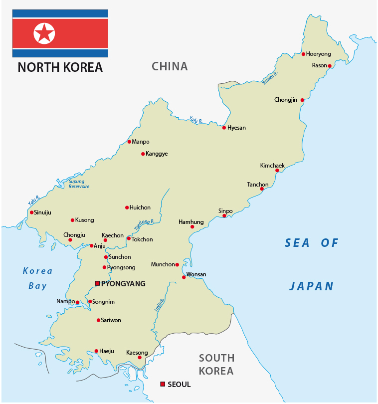 North Korea map with flag capital city of Pyongyang and main cities.
Japan Korea Map
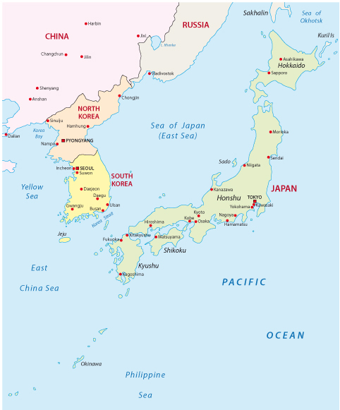
Japan Korea Map with major cities.
North Korea Planet Night Map

North Korea Planet night map. Elements of this image furnished by NASA.
North Korea Asia Map
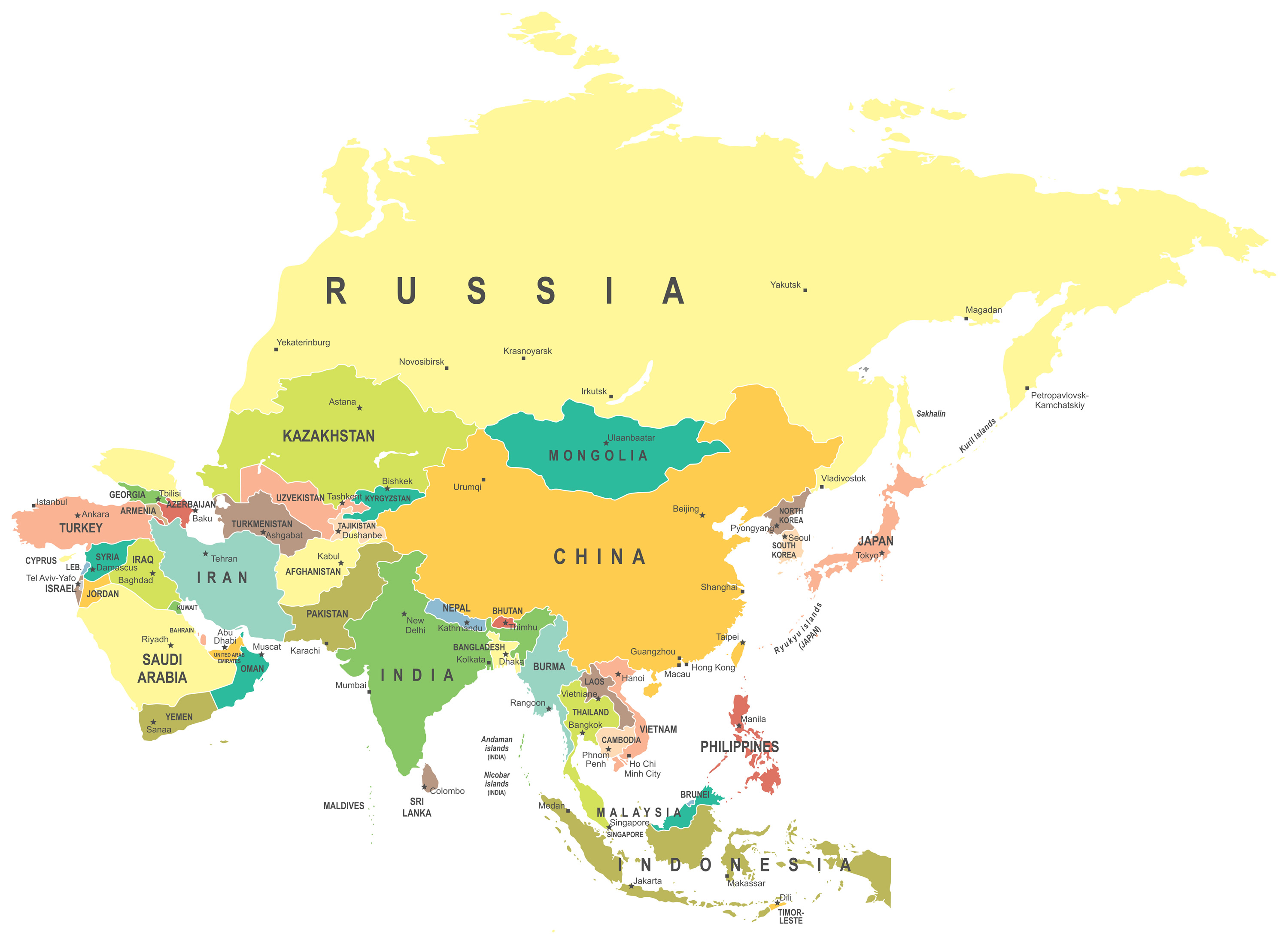
North Korea Asia map – highly detailed vector illustration.
Korean peninsula political Map
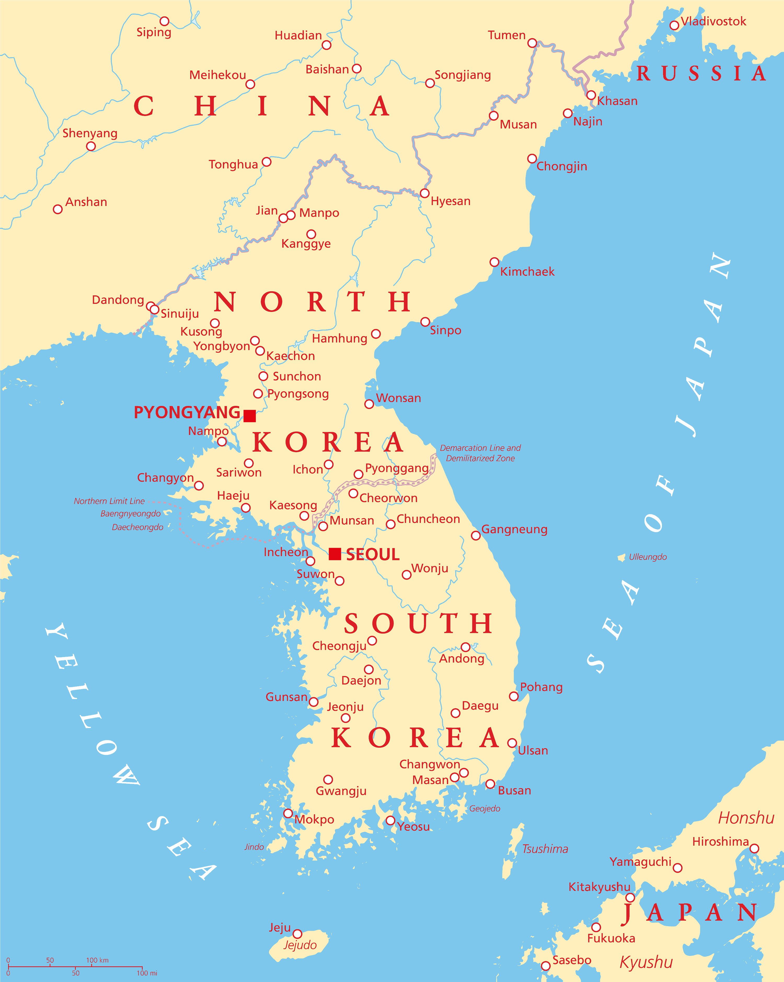
Korean peninsula political map with North and South Korea and the capitals Pyongyang and Seoul, national borders, important cities, rivers and lakes. English labeling and scaling.
North Korea from Earth
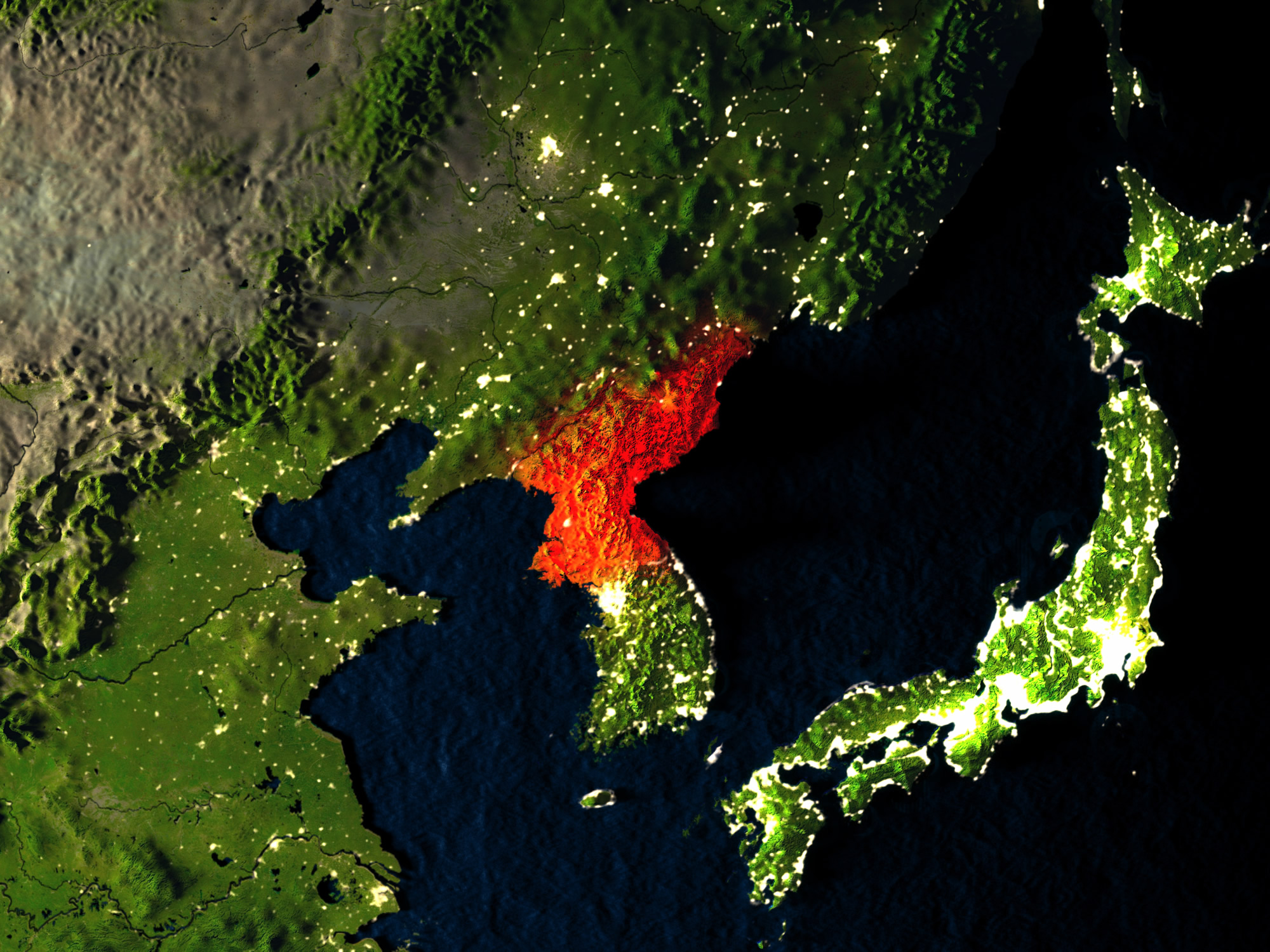
North Korea in red at night as seen from Earth’s orbit in space. 3D illustration with highly detailed realistic planet surface.
North Korea Map landmass texture
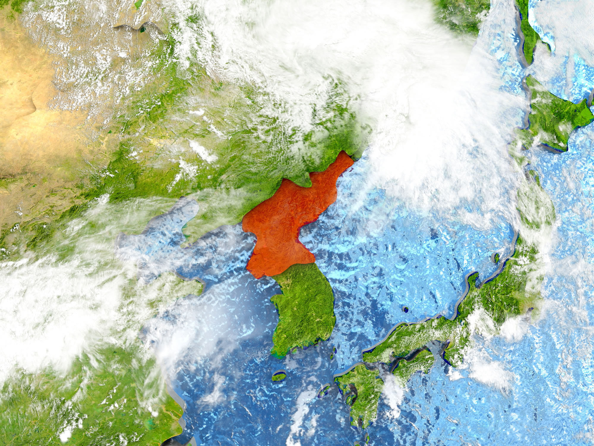
North Korea in red on map with detailed landmass texture, realistic watery oceans and clouds above the surface. 3D illustration.
Satellite Map of North Korea
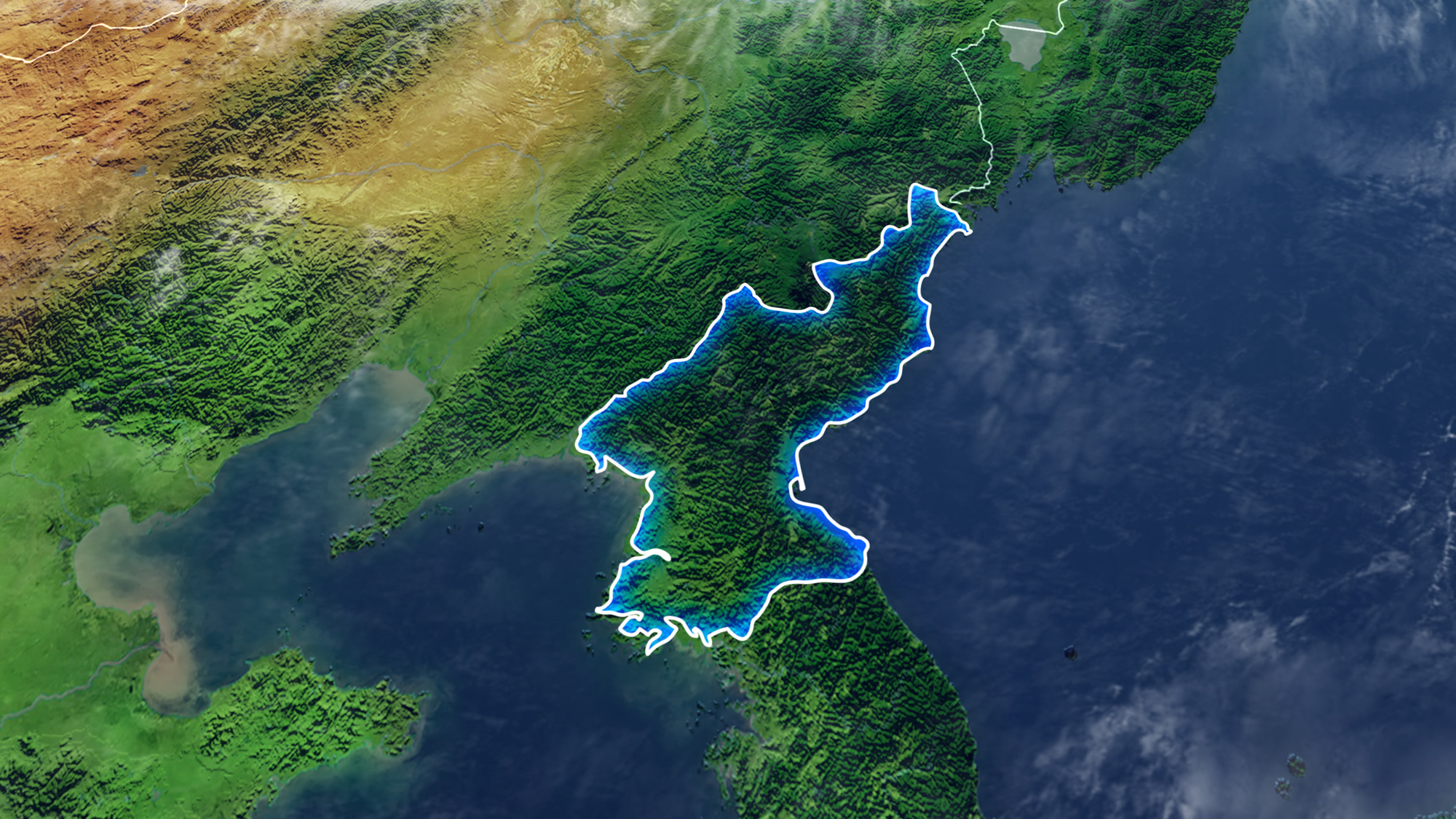
Map Of NORTH KOREA Elements of this image furnished by NASA 3D rendering 3D illustration.
Where is North Korea on the Asia Map?
Show Google Interactive Maps and satellite maps of where the country is located.
Get directions by driving, walking, bicycling, public transportation and travel with street view.
Feel free to explore these pages as well:
- North Korea Map ↗️
- North Korea ↗️
- South Korea Map ↗️
- South Korea ↗️
- A Traveler’s Guide to Seoul: Top 10 Must-Visit Spots ↗️
- China Map ↗️
- Map of China ↗️
- Learn More About Taiwan and Facts ↗️
- Where is Taiwan and Highly Detailed Taiwan Maps ↗️
