A collection of Michigan Maps; View a variety of Michigan physical, united states political map, administrative, relief map, Michigan satellite image, higly detalied maps, blank map, Michigan USA and earth map, Michigan’s regions, topography, cities, road, United States of America direction maps and US atlas.
Color Map of Michigan

Vector color map of Michigan state, USA.
Geographic Map of Michigan
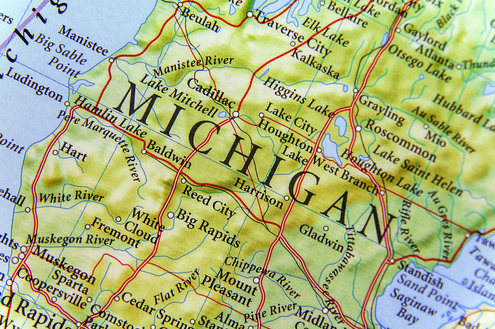
Geographic map of Michigan close Big Rapids and Mount Pleasent.
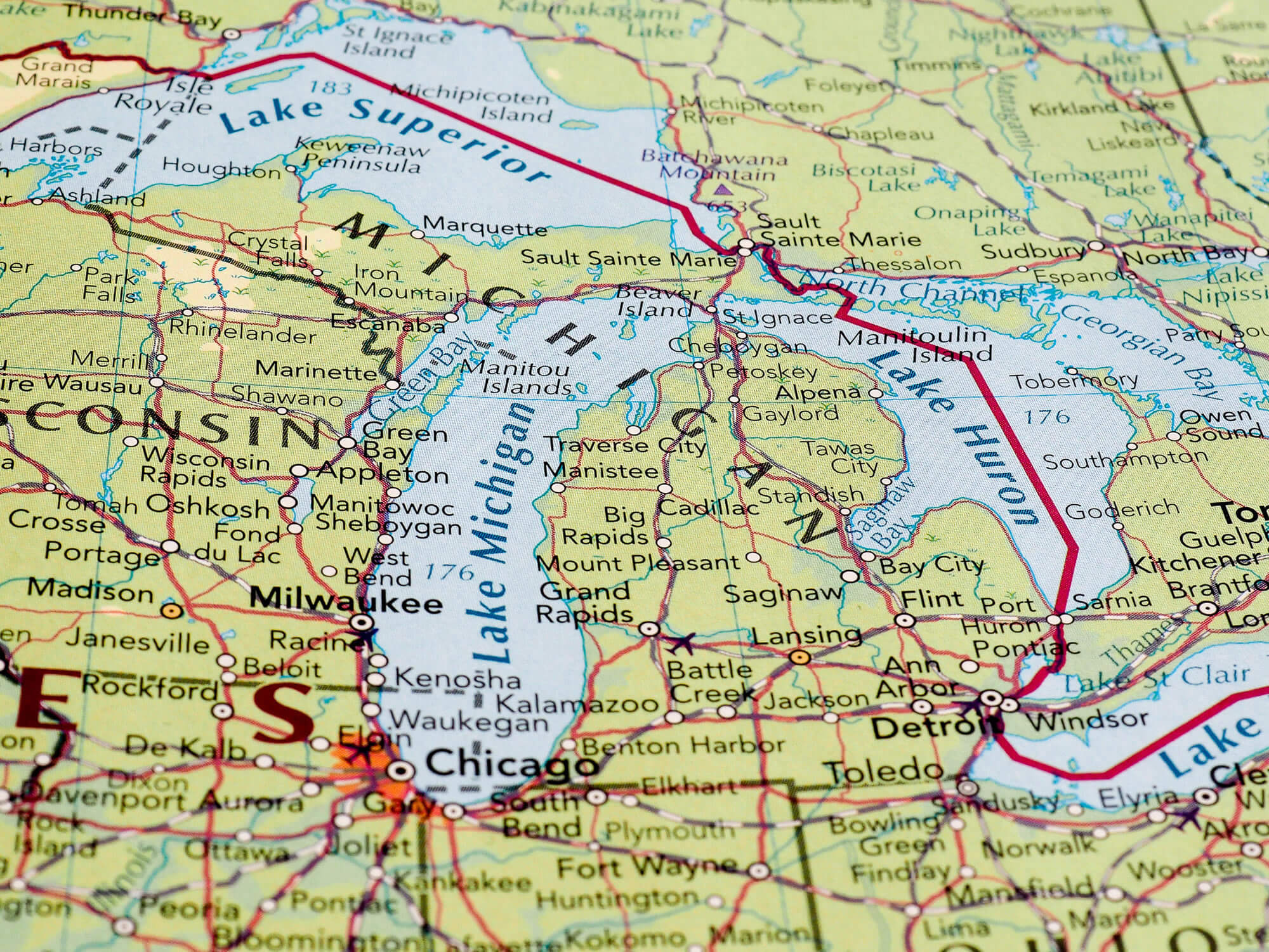
Geographic Map of Detroit
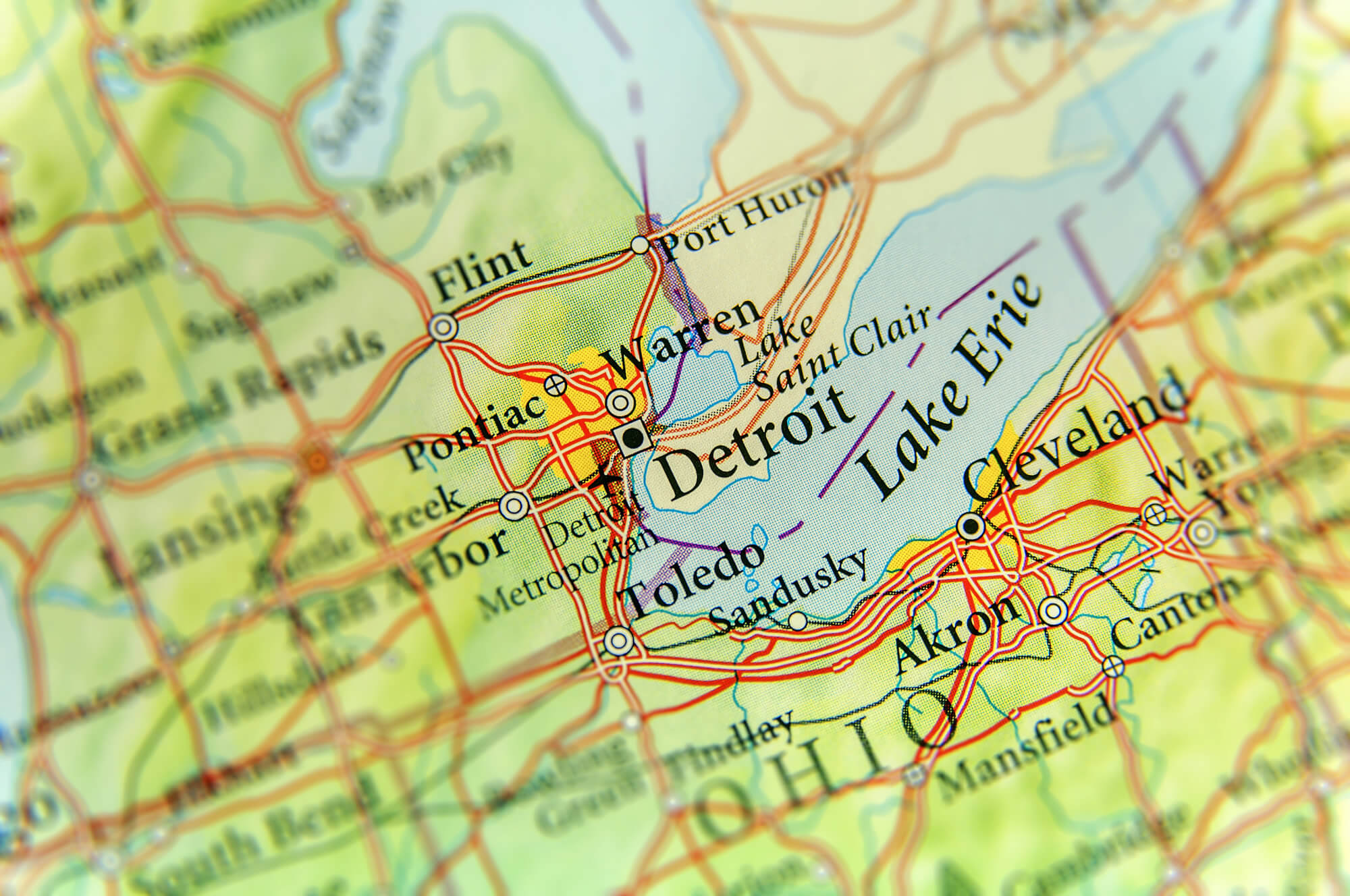
Geographic map of US state Michigan and Detroit city.
Lansing Map, Michigan
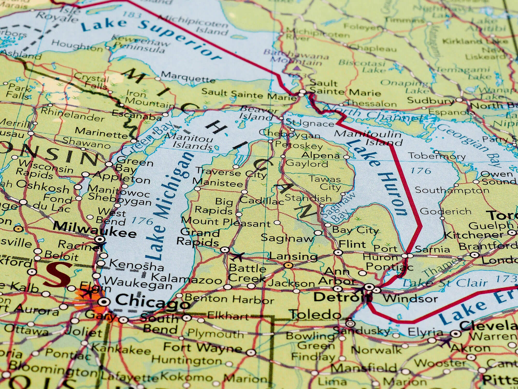
Lansing, USA – CIRCA MAY 2016: Map of the state of Michigan with selective focus on state name.
Map of Detroit, Michigan
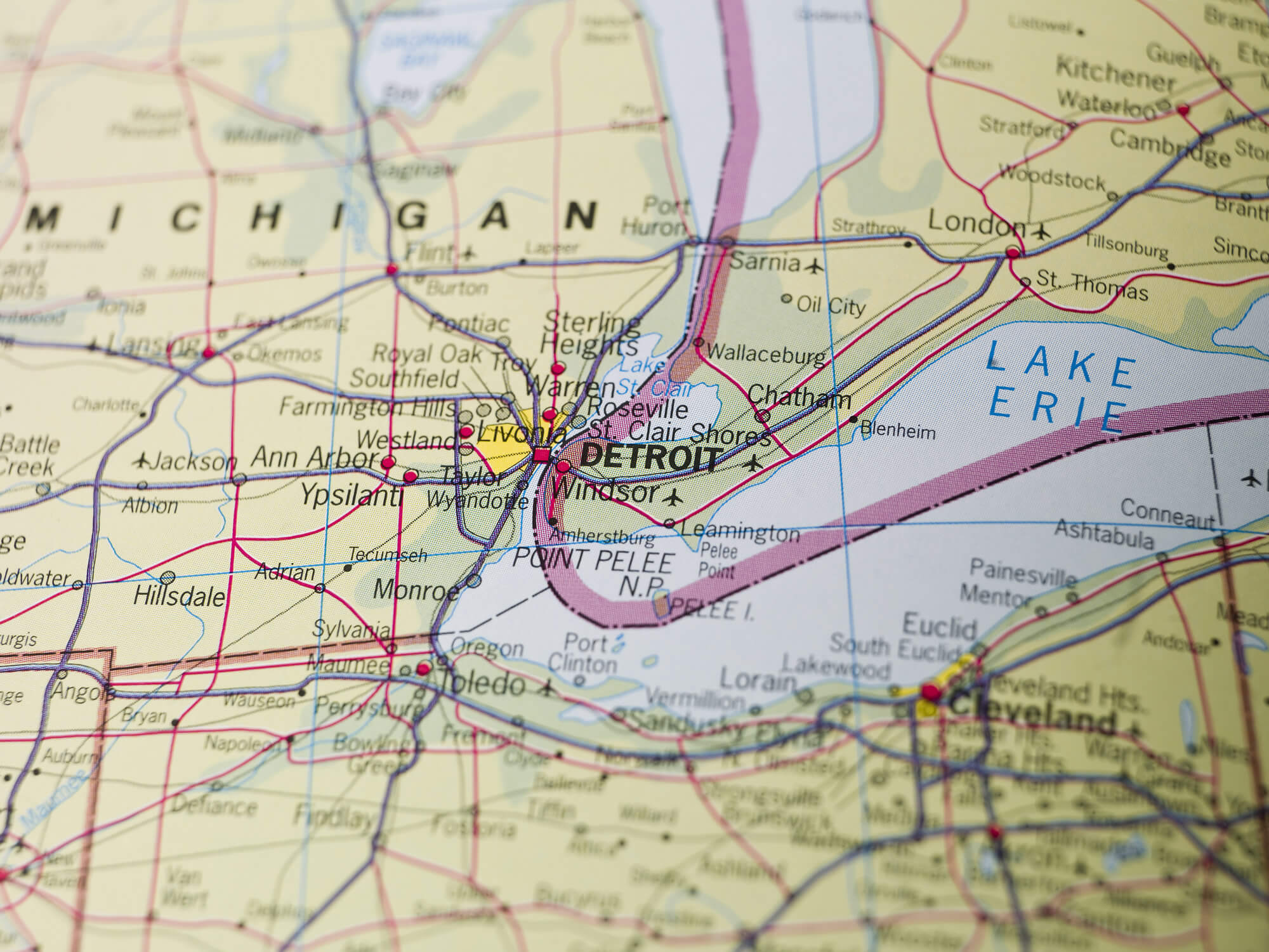
Map of Detroit, Michigan United States.
Michigan Planet Earth in the Night
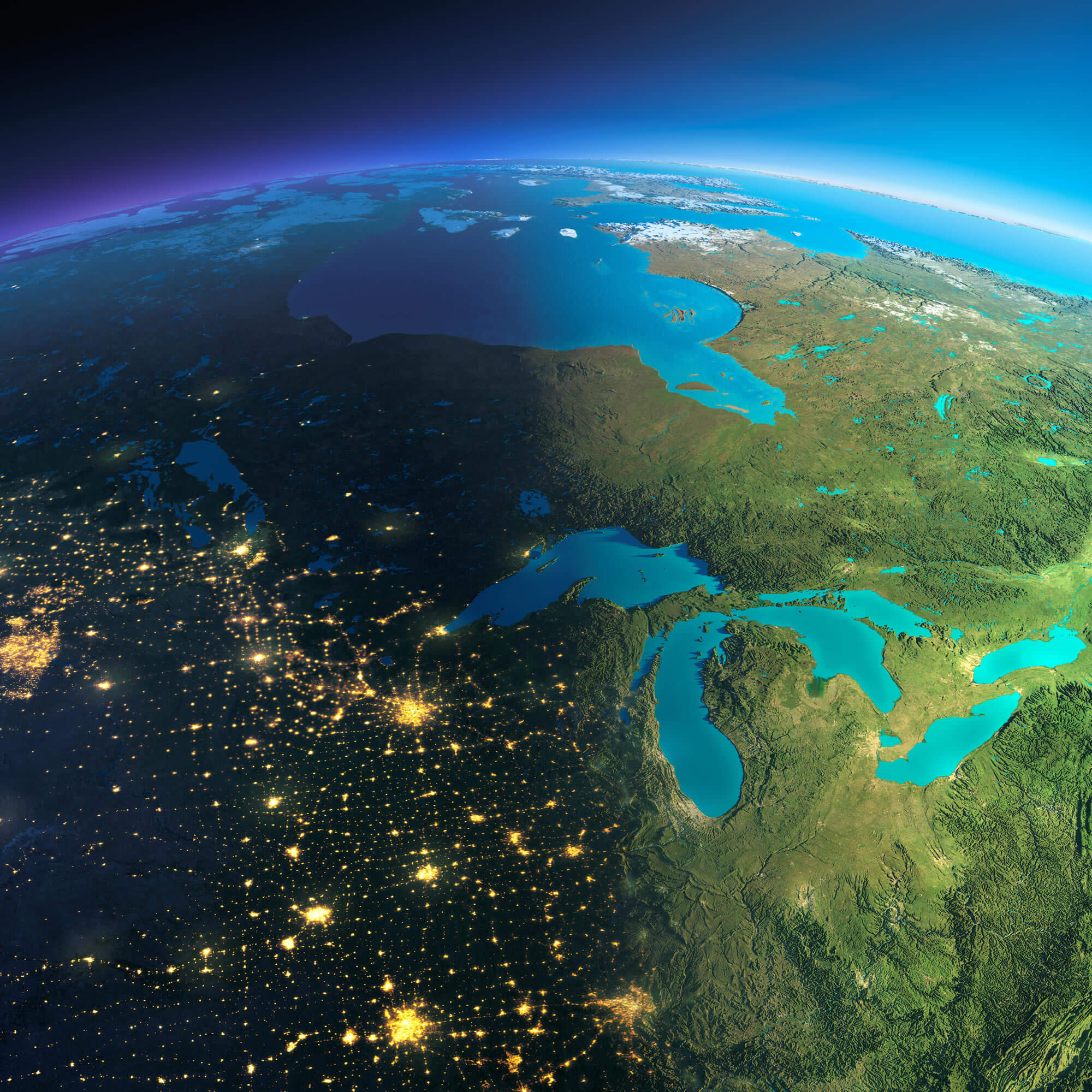
Highly detailed planet Earth. Night with glowing city lights gives way to day. The boundary of the night & day. The northern U.S. states and Canada.
Michigan Atlas 1900
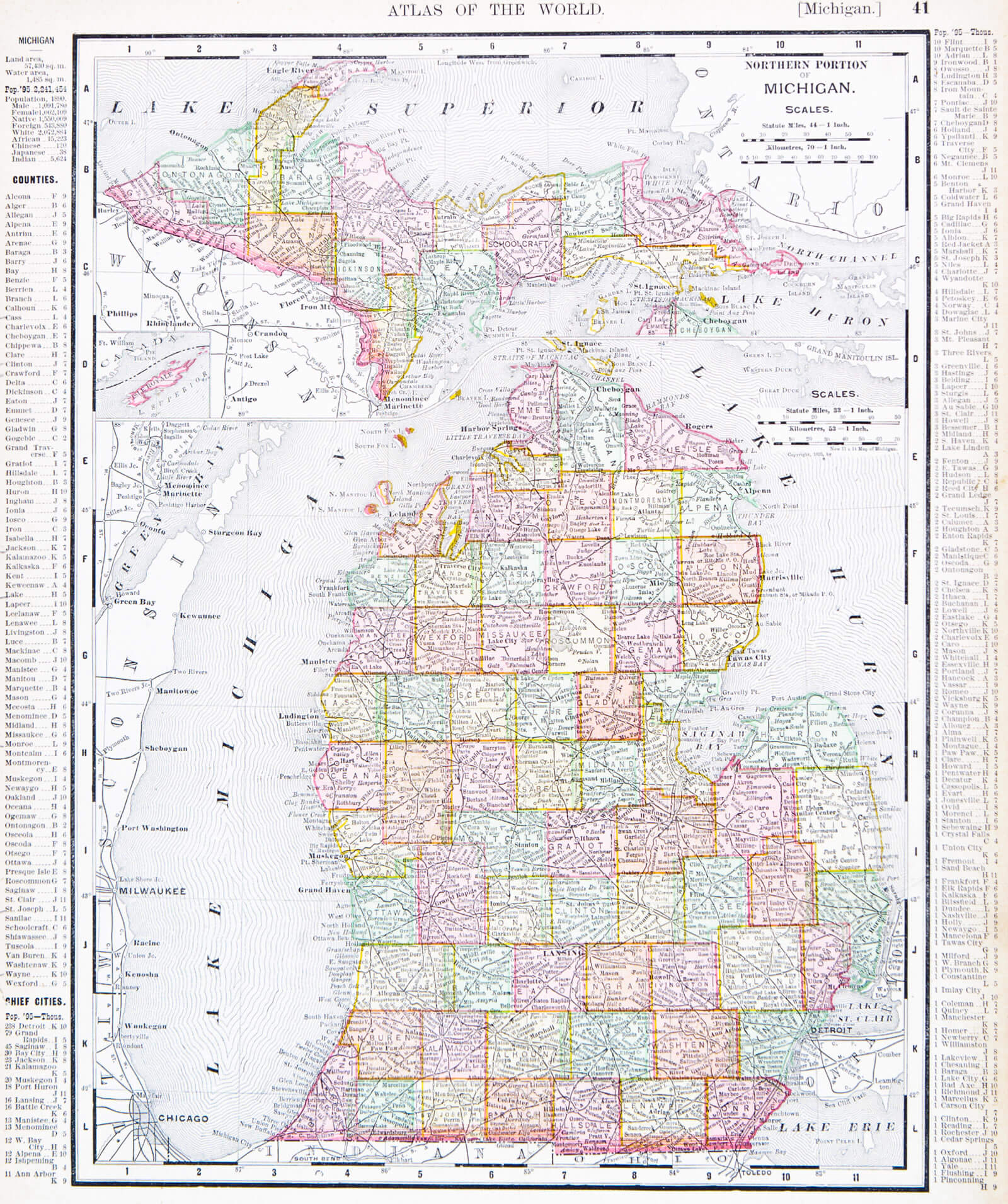
A map of Michigan, USA from Spofford’s Atlas of the World, printed in the United States in 1900.
Lansing Map, Chicago USA
Lansing, Chicago USA – CIRCA MAY 2016: Map of the state of Michigan with selective focus on state name.
Michigan Political Map
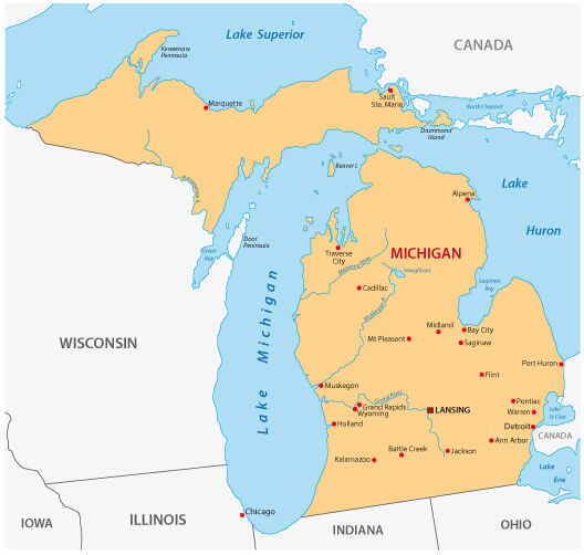
Michigan Political Map with Major Cities.
Where is Michigan on the US Map?
Show Google map, satellite map, where is the country located.
Get directions by driving, walking, bicycling, public transportation and travel with street view.
Feel free to explore these pages as well:
- About Michigan ↗️
- Michigan Map ↗️
- Michigan Photos ↗️
- Map of Michigan ↗️
- Illinois Map ↗️
- Map of Illinois ↗️
- Illinois Photos ↗️
- Top 10 Best Experiences to Maximize Your Chicago Journey ↗️
- Chicago’s Hidden Gems: Exploring the Lesser-Known Sights of the Windy City ↗️
- Kenosha Travel Guide, Kenosha Protests and 4K Aerial View ↗️
- United States Map ↗️
- Map of United States ↗️
- North America Map ↗️
- Map of North America ↗️