Magdeburg is located in the north-east of Germany and is the capital of the state of Saxony-Anhalt. It lies on the banks of the River Elbe, a major waterway that flows from the Czech Republic through Germany and into the North Sea.
Brief information about Magdeburg
Magdeburg, the capital of Saxony-Anhalt in Germany, is steeped in history and innovation. Situated on the River Elbe, the city boasts a rich cultural heritage dating back over 1,200 years. Known for its role in the Protestant Reformation and the Thirty Years’ War, Magdeburg has been a centre of trade, religion and learning for centuries. Nearly destroyed during the Second World War, the city has since rebuilt itself into a vibrant urban centre. Landmarks such as the Gothic Magdeburg Cathedral, the oldest Gothic church in Germany, and the Hundertwasser-designed Green Citadel highlight the city’s blend of historic and modern architecture.
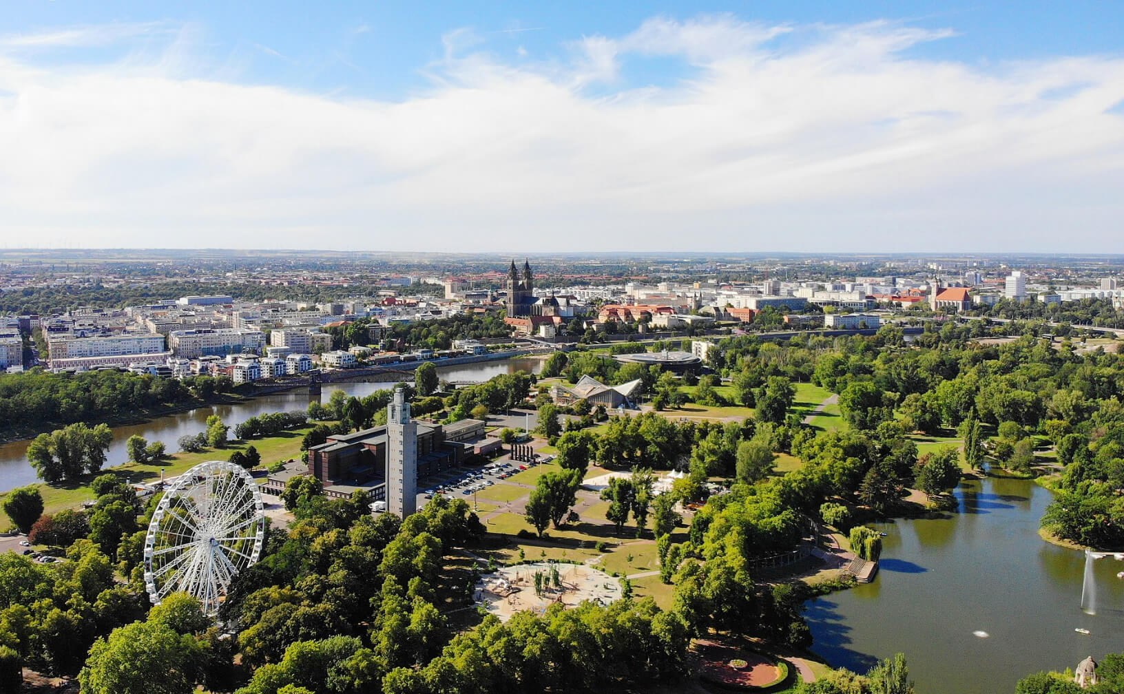
Today, Magdeburg is a thriving centre of science, education and innovation. It is home to the Otto von Guericke University, named after the city’s famous physicist and inventor, and the University of Applied Sciences. The city’s economy is supported by industries such as mechanical engineering, renewable energy and logistics, making it an important economic player in the region. Magdeburg also offers a range of green spaces, including the Elbauenpark, where residents and visitors can relax and enjoy the natural beauty of the Elbe River landscape.
Where is located Magdeburg on Germany Map
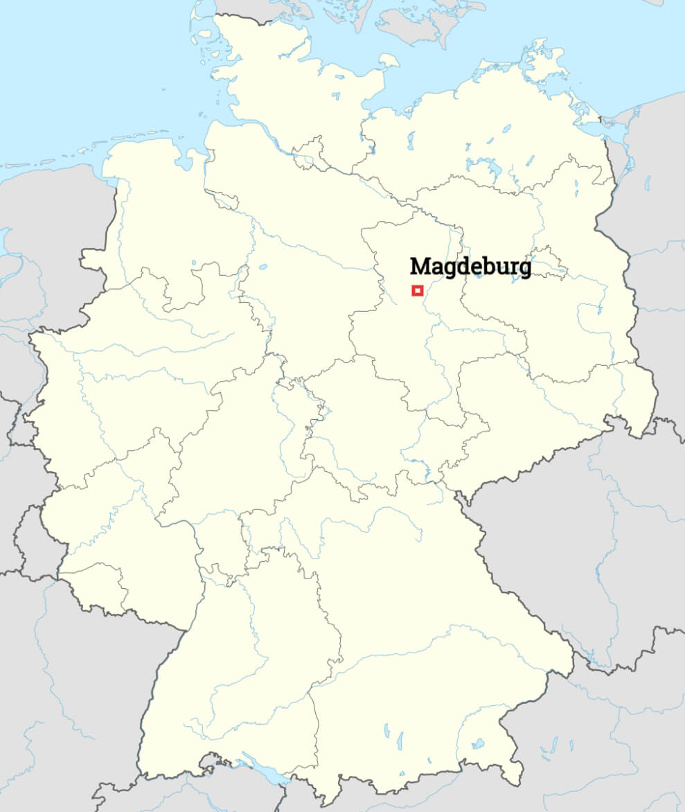
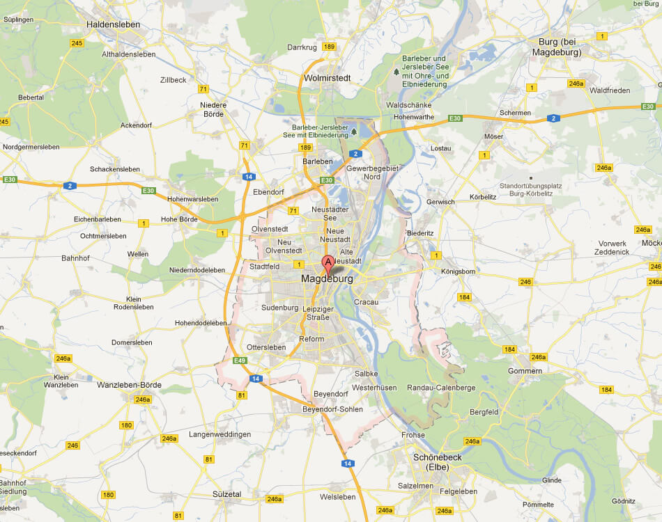
Geographically, Magdeburg is located approximately 150 kilometres (93 miles) southwest of Berlin, Germany’s capital, making it easily accessible from the country’s political and cultural centre. The city is also located approximately 90 kilometres (56 miles) east of Braunschweig and 130 kilometres (81 miles) northwest of Leipzig, giving it a central position in the northern German lowlands.
On a map of Germany, Magdeburg appears slightly to the east of the country’s geographical centre, connecting the major transport routes in the region. It is well integrated into Germany’s rail and road networks, with the A2 motorway linking it to Berlin and Hanover, and the A14 to Leipzig and Dresden. The city’s location on the River Elbe also makes it an important hub for inland waterway transport. Its strategic location not only enhances its economic importance, but also makes it a convenient base for exploring other parts of Saxony-Anhalt and neighbouring states.
Here are some statistical information about Magdeburg:

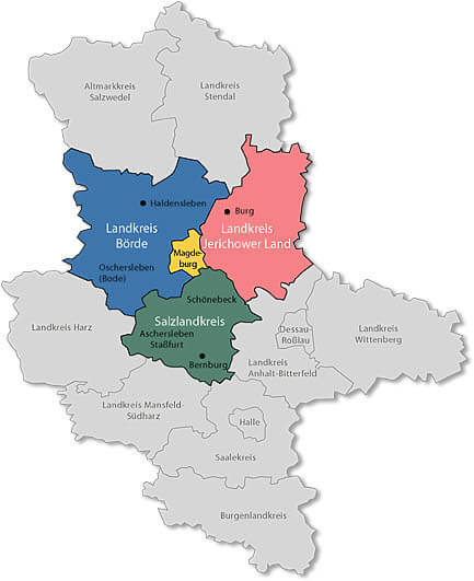
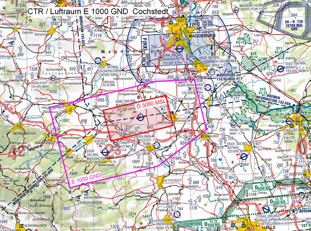
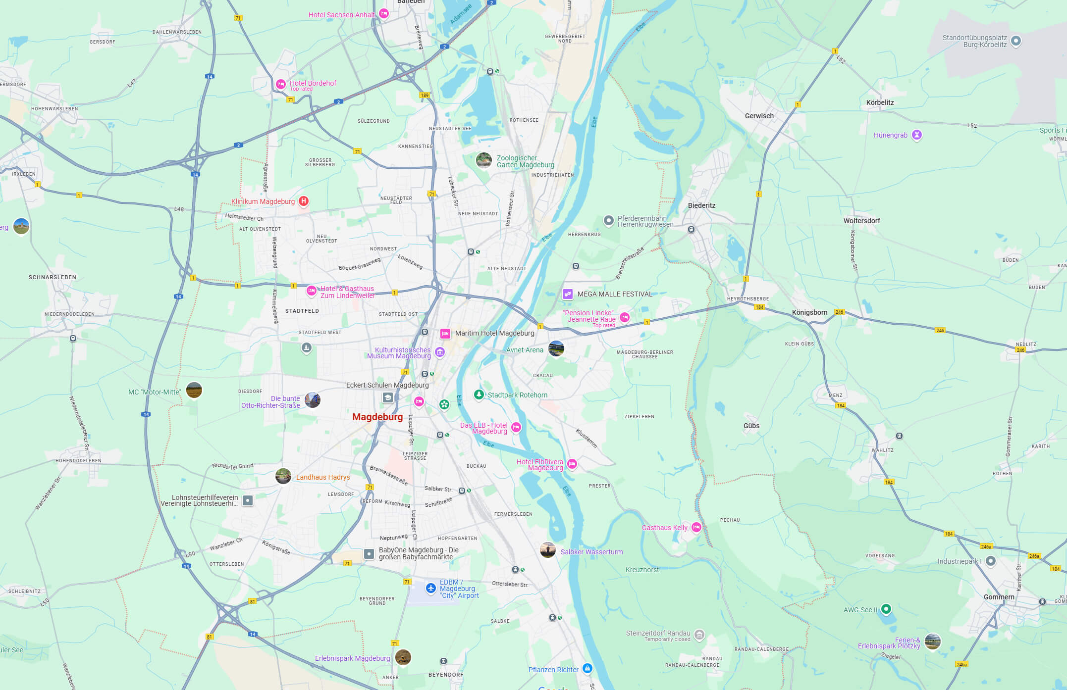
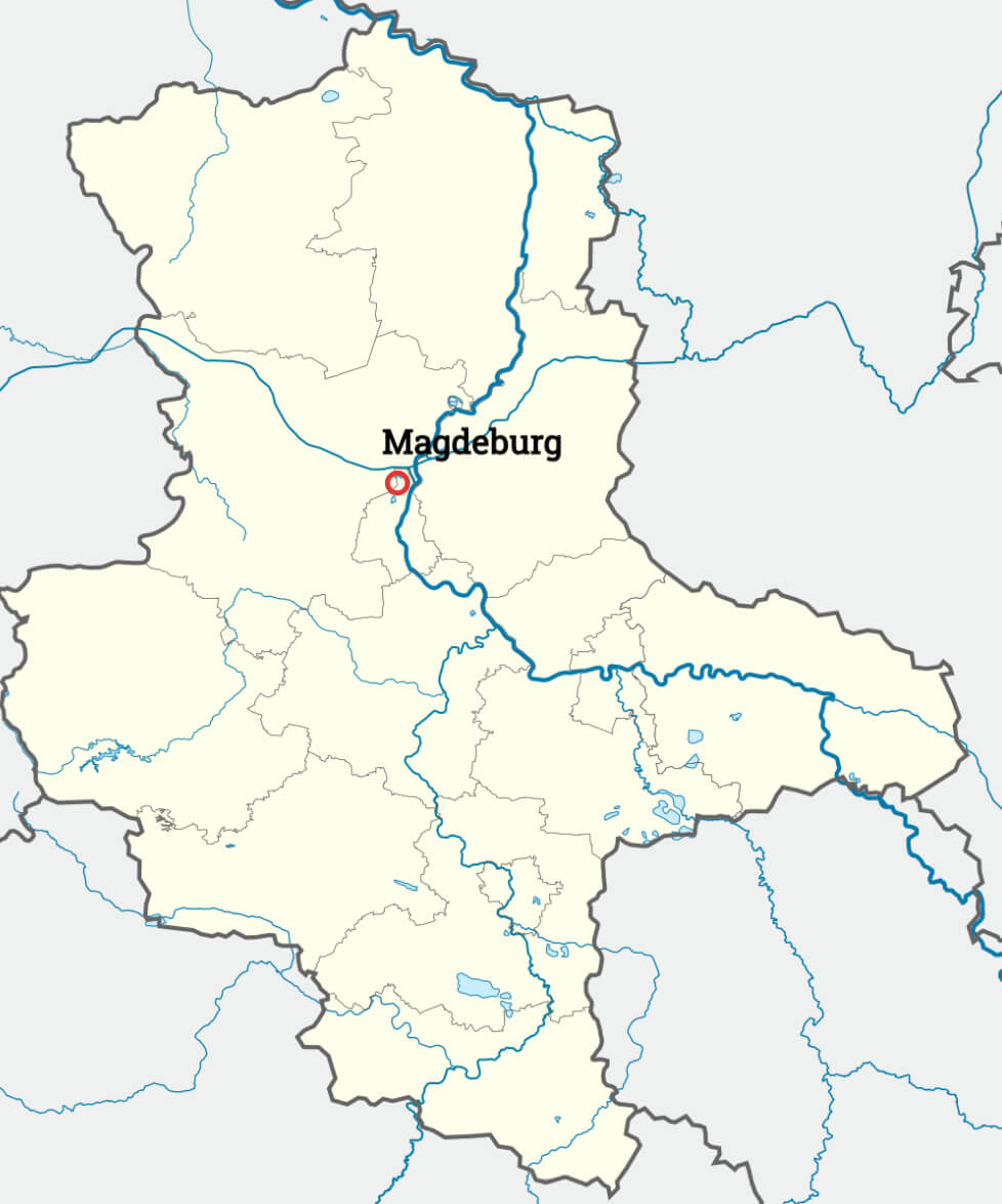
Magdeburg county map
Magdeburg downtown map Germany
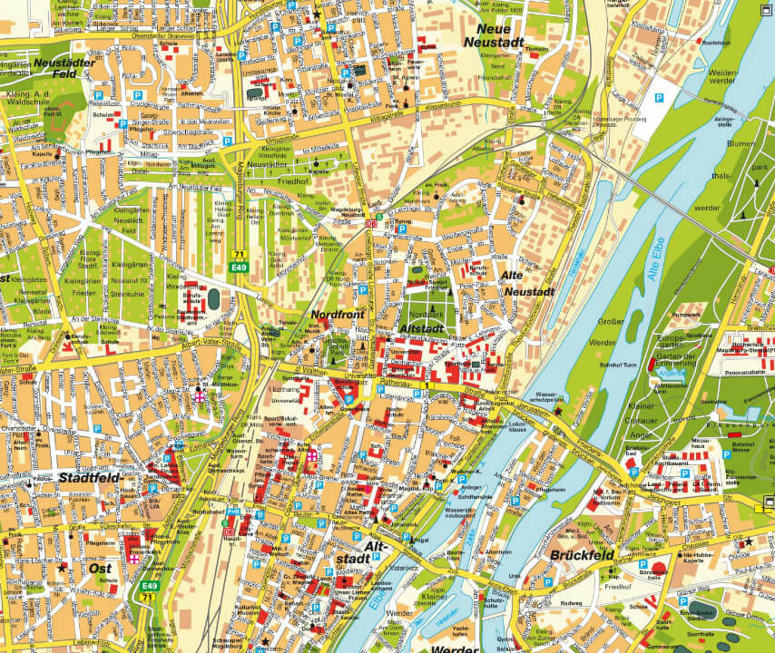
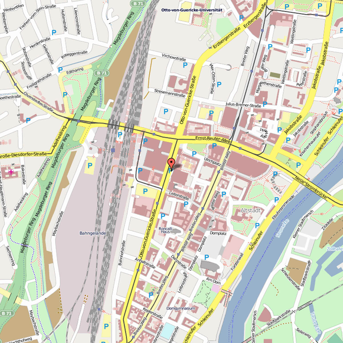
Magdeburg city center map
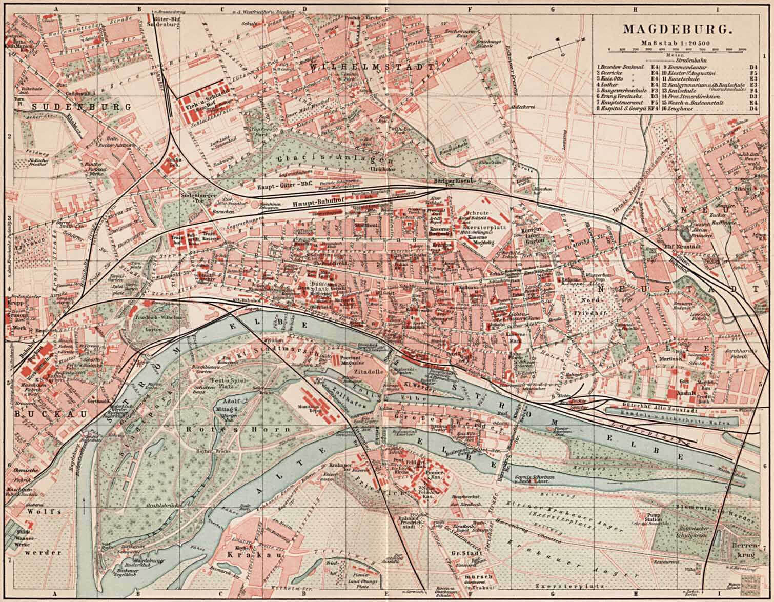
Magdeburg historical map
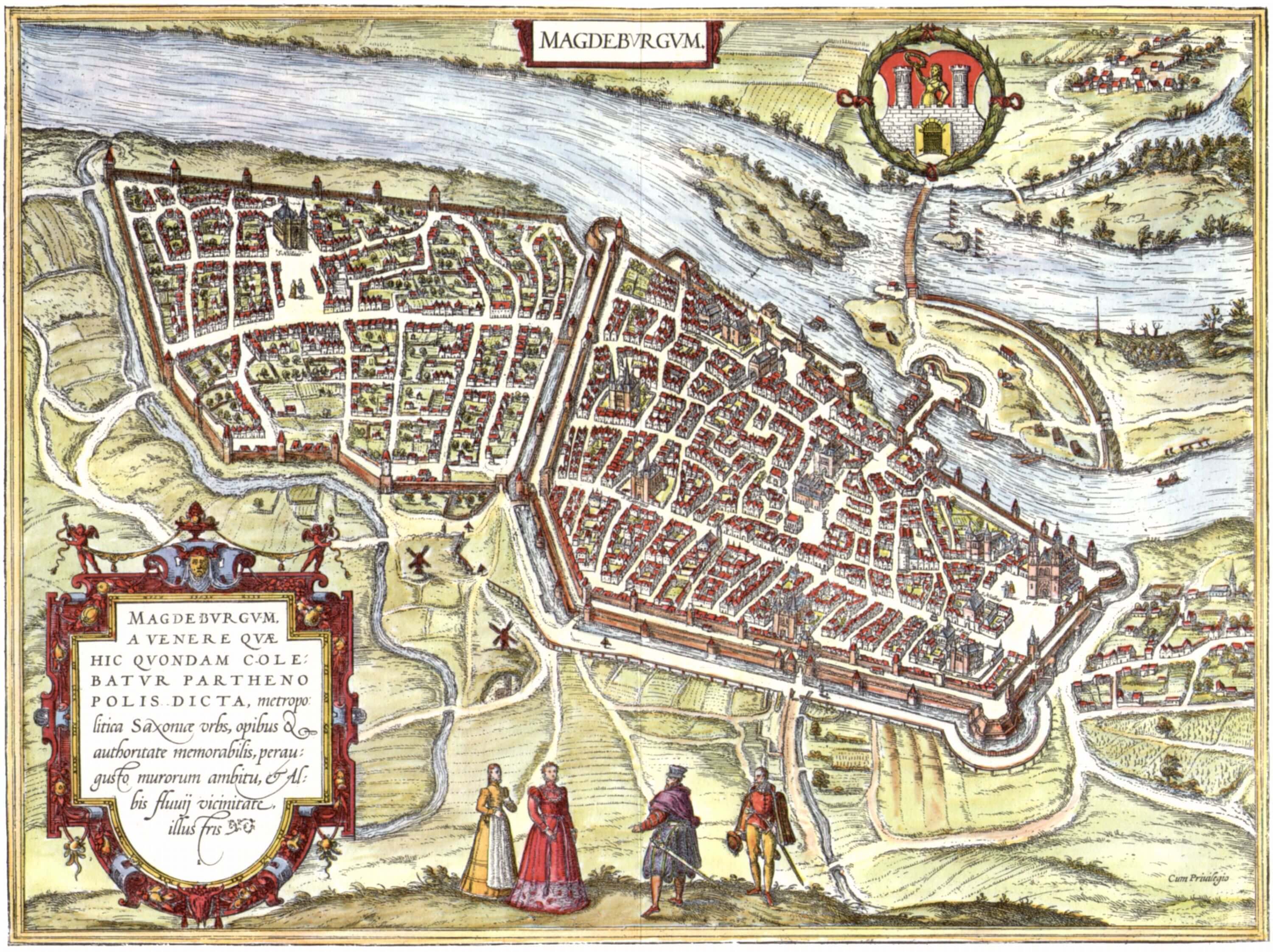
Magdeburg map in 1572 by Franz Hogenberg
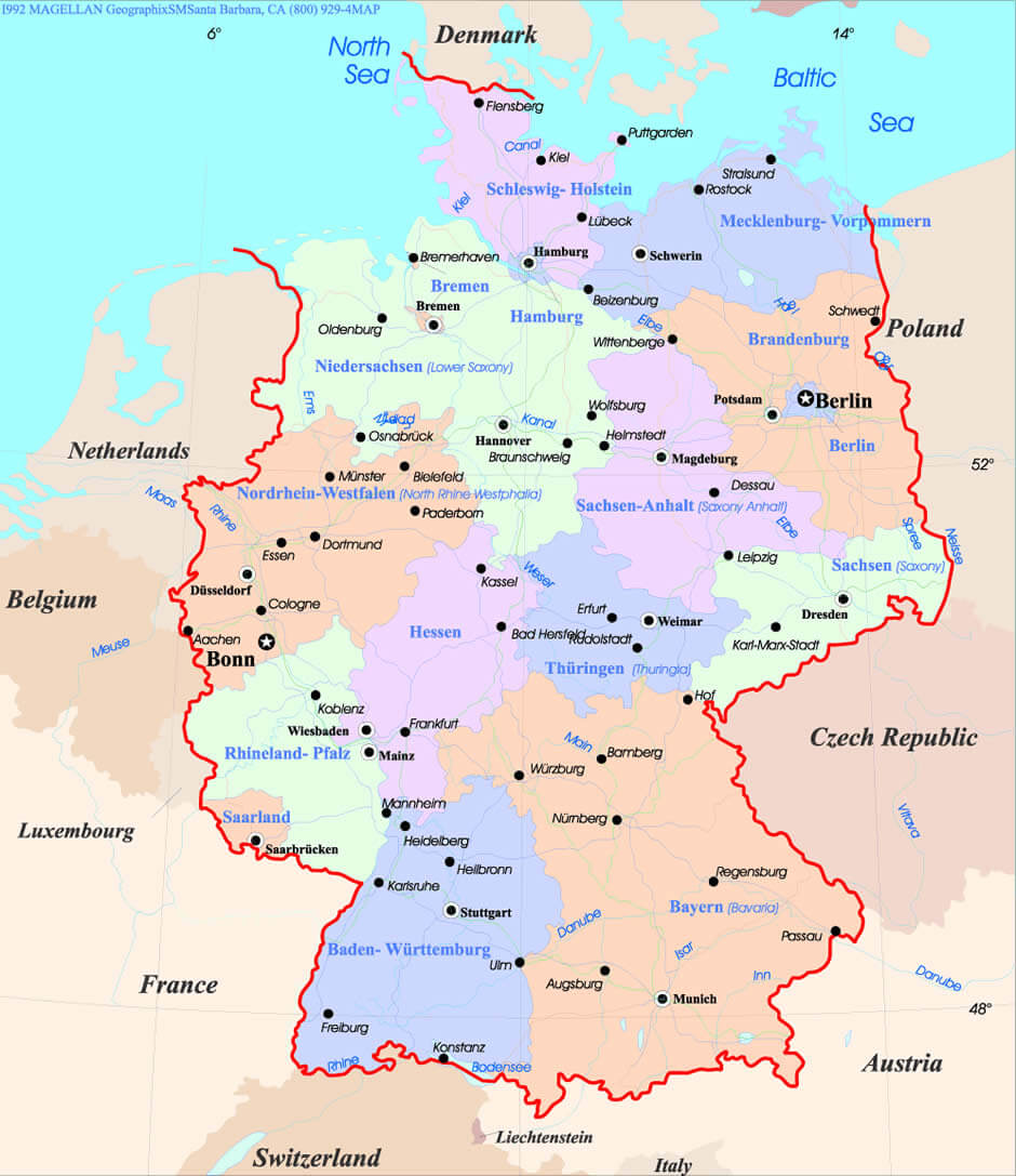
Magdeburg map in Germany
Magdeburg on Germany Map
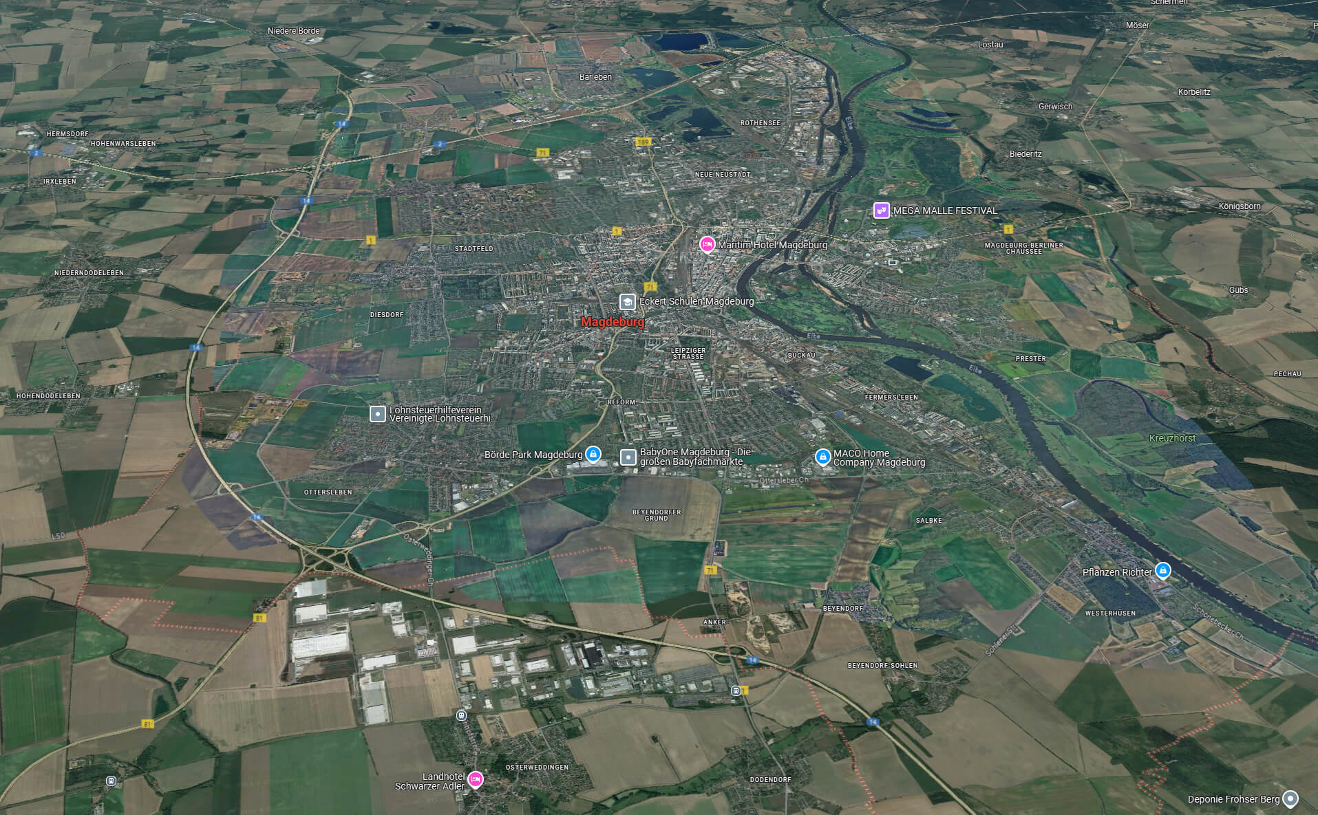
Magdeburg satellite map
Magdeburg Saxony Anhalt map
Magdeburg street map
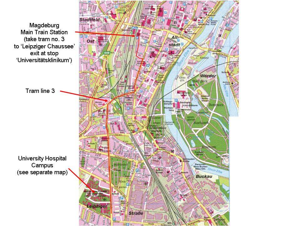
Map of Magdeburg
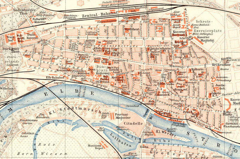
Map of Magdeburg in 1900
Where is Located Magdeburg on the Germany Map?
Show Google interactive map, satellite map, where is the country located.
Get directions by driving, walking, bicycling, public transportation, and traveling with street view.
Feel free to explore these pages as well:
- Germany Map ↗️
- Map of Germany ↗️
- Discovering the Charms of Cologne ↗️
- Exploring the Charm of Bremen ↗️
- Discover Bochum ↗️
- Discovering Bielefeld ↗️
- A Collection of Czechia Maps ↗️
- Belgium Map ↗️
- Netherlands Map ↗️
- Europe Map ↗️
- Map of Europe ↗️
- A Collection of Poland Maps ↗️