A collection of Netherlands Maps; View a variety of Netherlands physical, political, administrative, relief maps, Netherlands satellite image, highly detailed maps, blank maps, Netherlands world and earth maps, Netherlands’s regions, topography, cities, road, direction maps, and atlas.
Netherlands Administrative Map
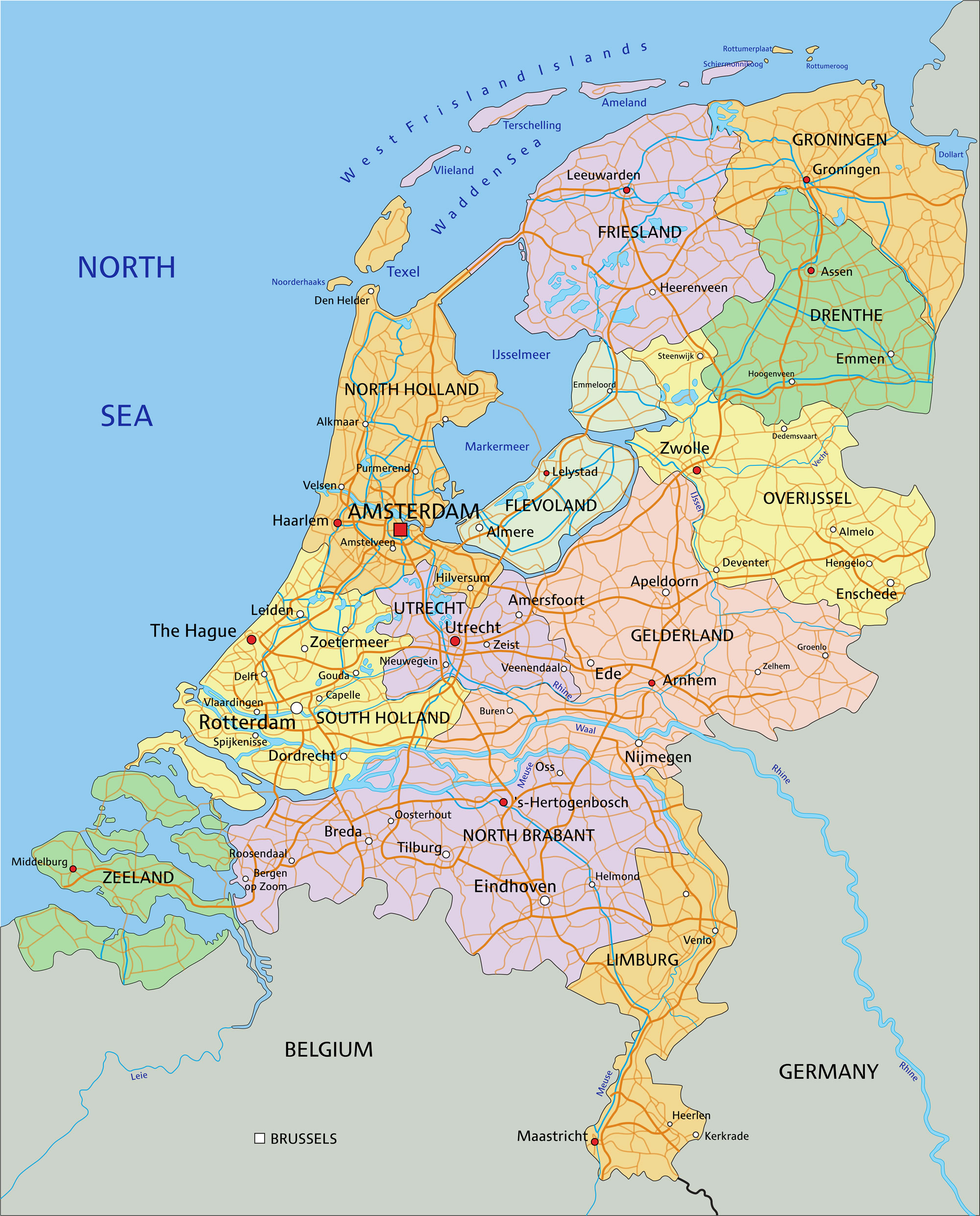 Netherlands Administrative Map – A highly detailed editable political map with separated layers and provinces.
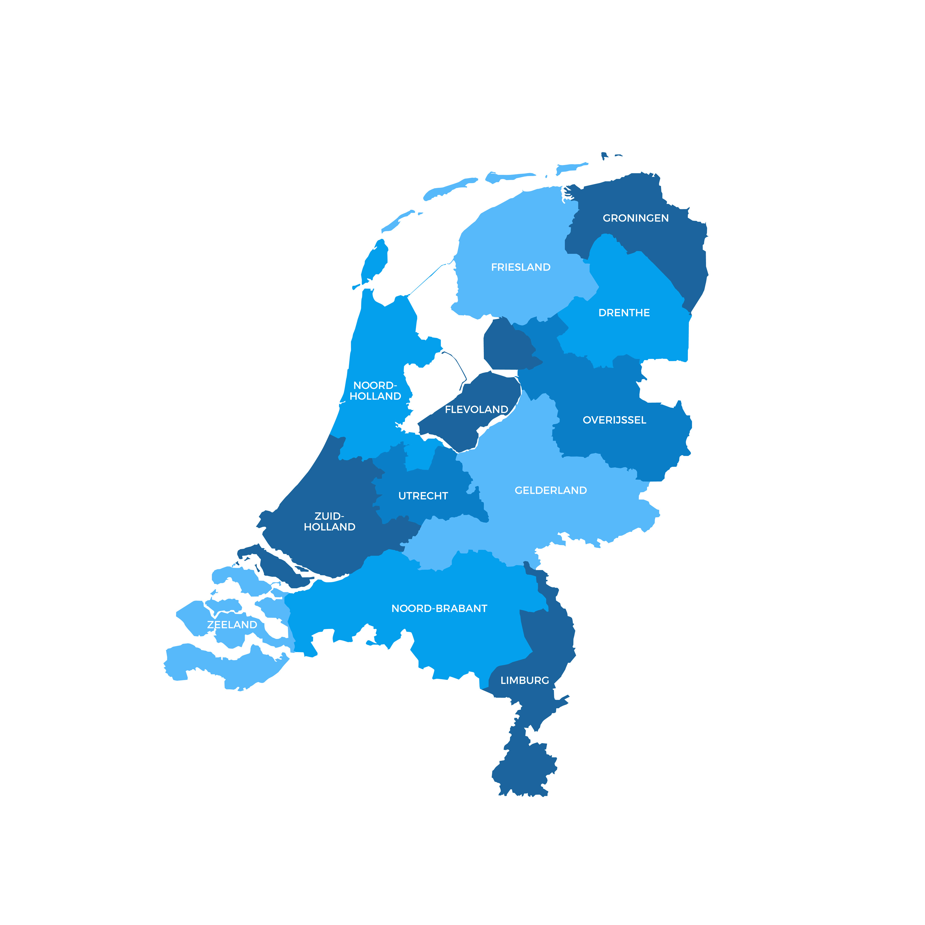
Colorful Netherlands Map
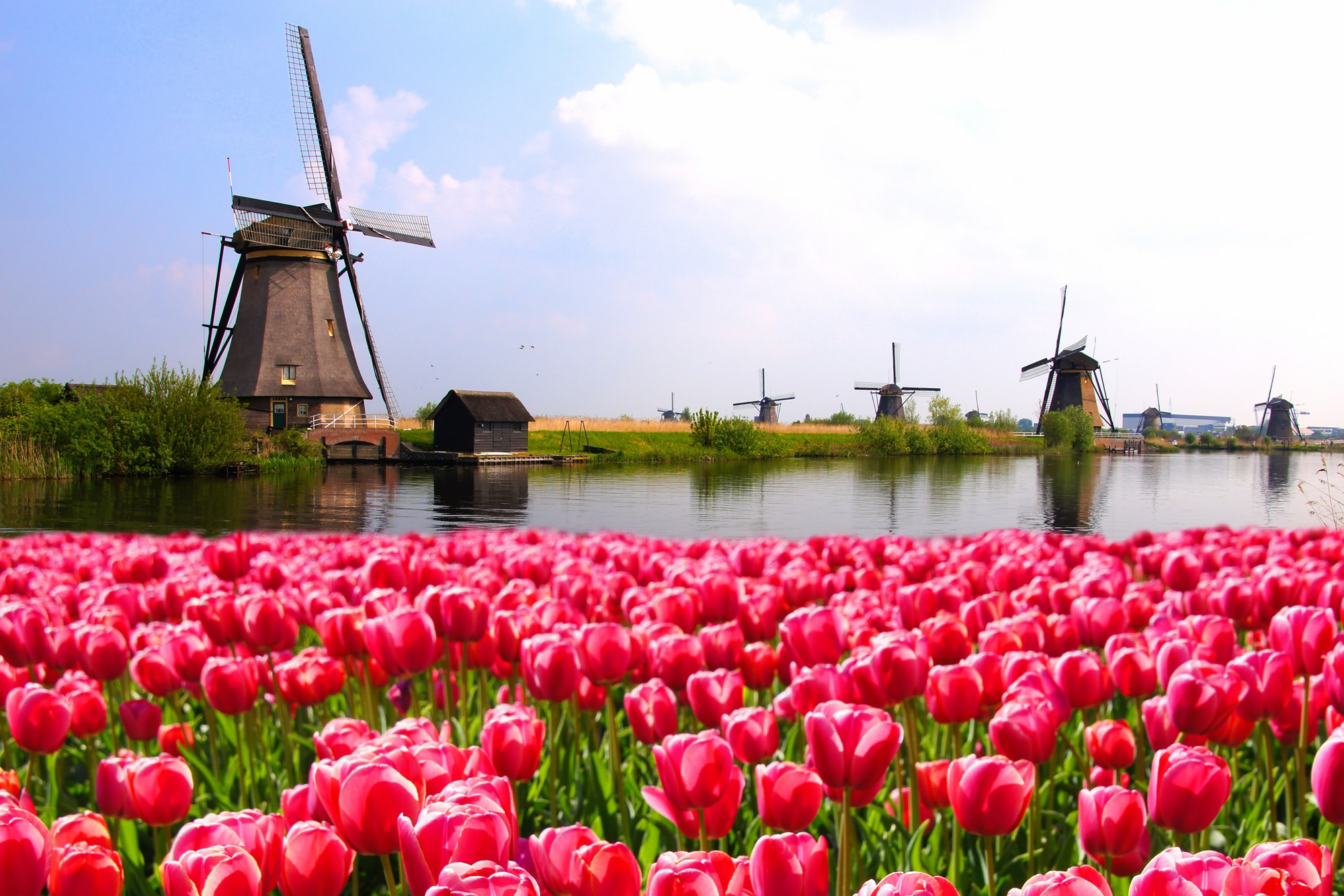
Colorful Netherlands map with regions and main cities.
Netherlands Road Map
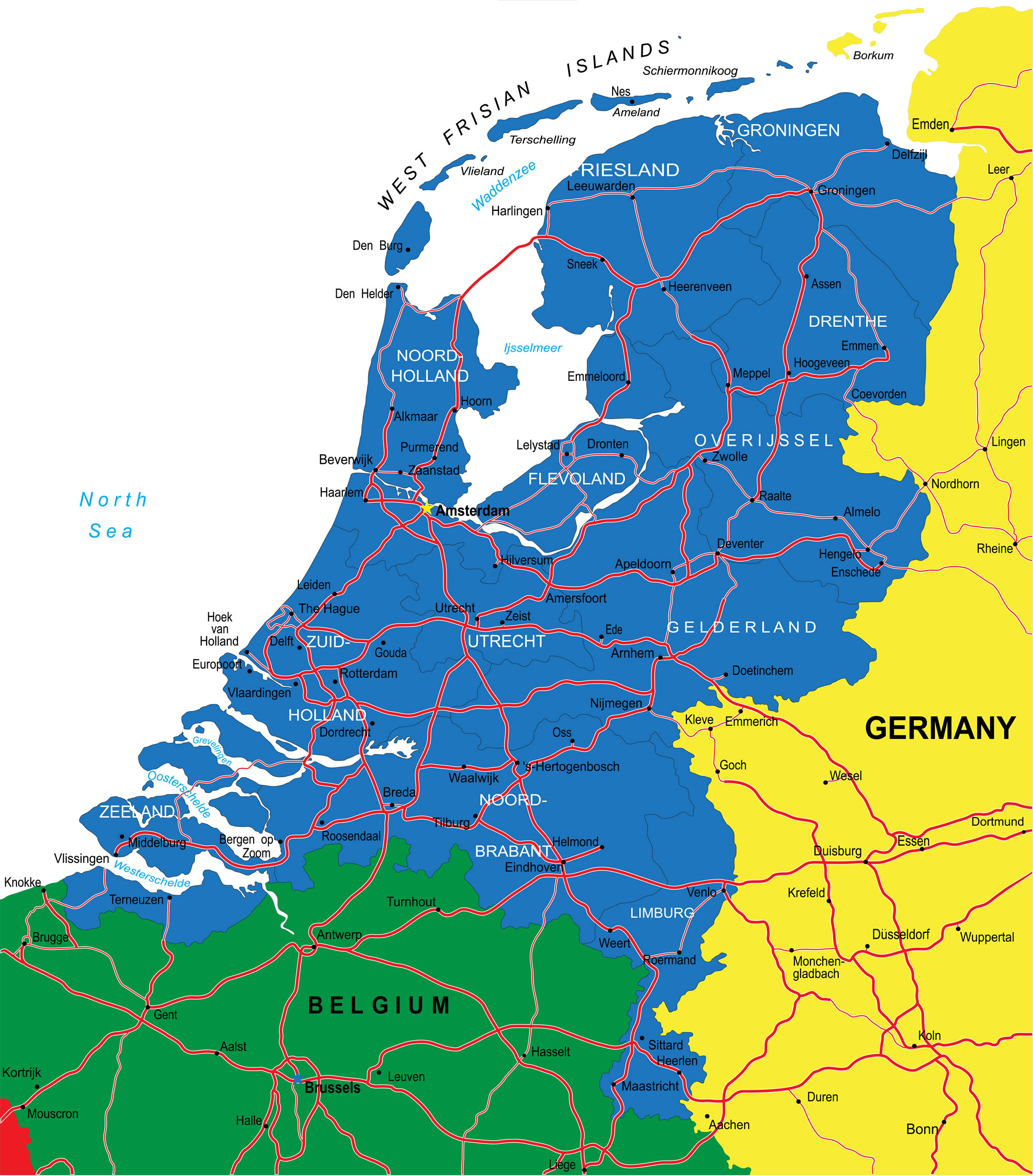
Netherlands Road map with major cities.
Netherlands Political Map
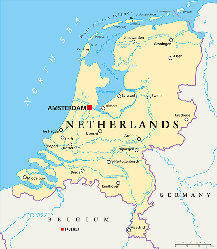
Netherlands Political Map with capital Amsterdam, national borders, most important cities, rivers and lakes. English labeling and scaling.
Netherlands Regions Map
Netherlands Regions Map – A highly detailed editable political map with separated layers and provinces.
Netherlands Physical Map
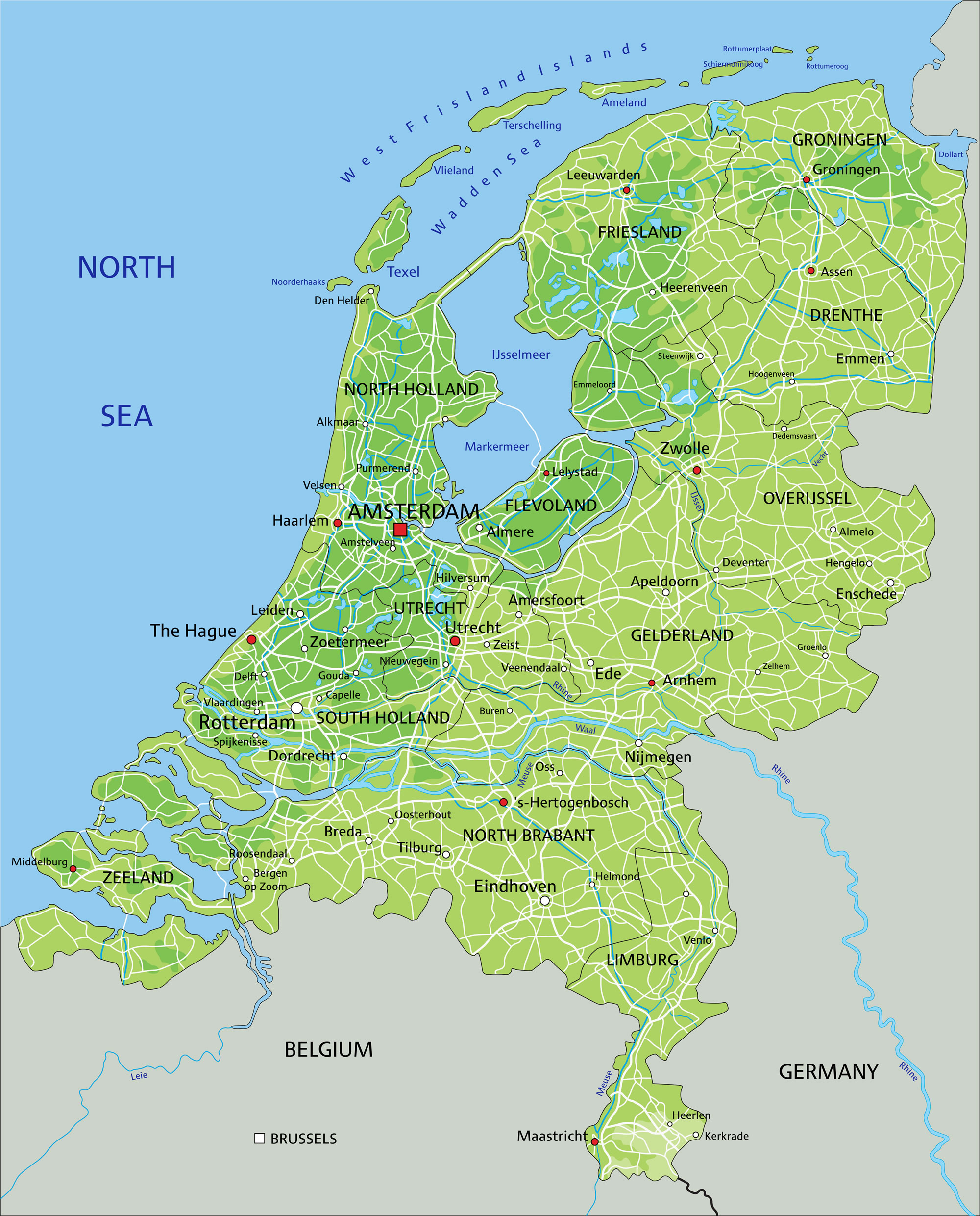
High-detailed Netherlands physical map with labeling.
Netherlands Satellite Map
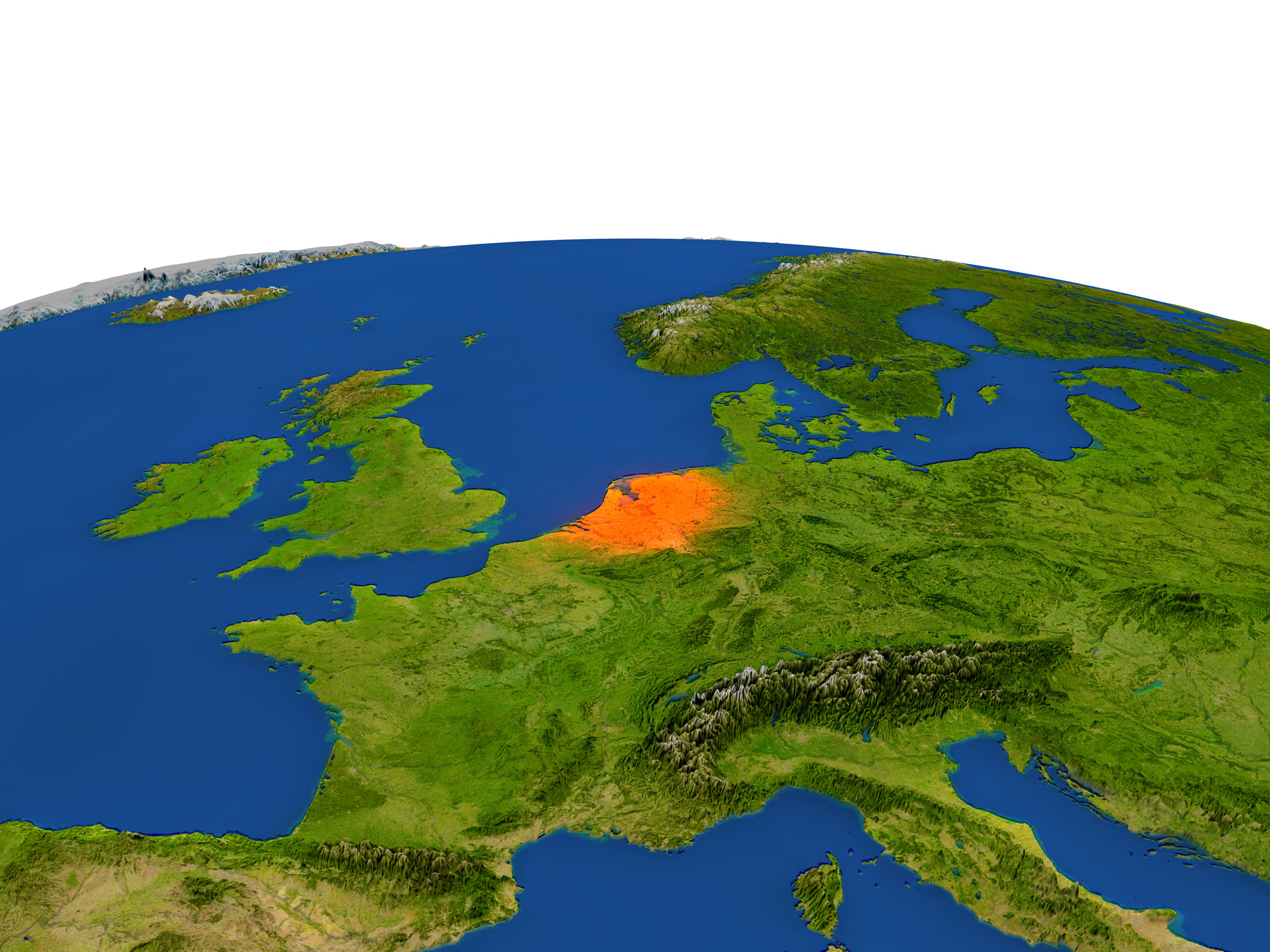
The Netherlands from Earth’s orbit in space is highlighted in red color. 3D illustration with highly detailed realistic planet surface.
Where is Netherlands on the Europe Map?
Show Google map, satellite map, where is the country located.
Get directions by driving, walking, bicycling, public transportation and travel with street view.
Feel free to explore these pages as well:
- Netherlands ↗️
- Netherlands Map ↗️
- Map of Netherlands ↗️
- Amsterdam: Europe’s Venice and Its Hidden Wonders ↗️
- A Tourist’s Guide to Amsterdam’s 10 Best Attractions ↗️
- Breda: The Hidden Gem of the Netherlands ↗️
- Almere Unearthed: The Dutch City of Modern Dreams ↗️
- Map of Europe ↗️
- Europe Map ↗️
- Belgium ↗️
- Belgium Map ↗️
- Map of Belgium ↗️