Welcome to our comprehensive exploration of China, a country with a rich history, diverse geography, and vibrant culture. Our blog post today dives into the intricate world of maps, offering a visual and educational journey across various types of maps that represent China. From the towering peaks of the Himalayas to the bustling streets of Shanghai, these maps provide a unique lens to view and understand this vast nation.
1. China Physical Map
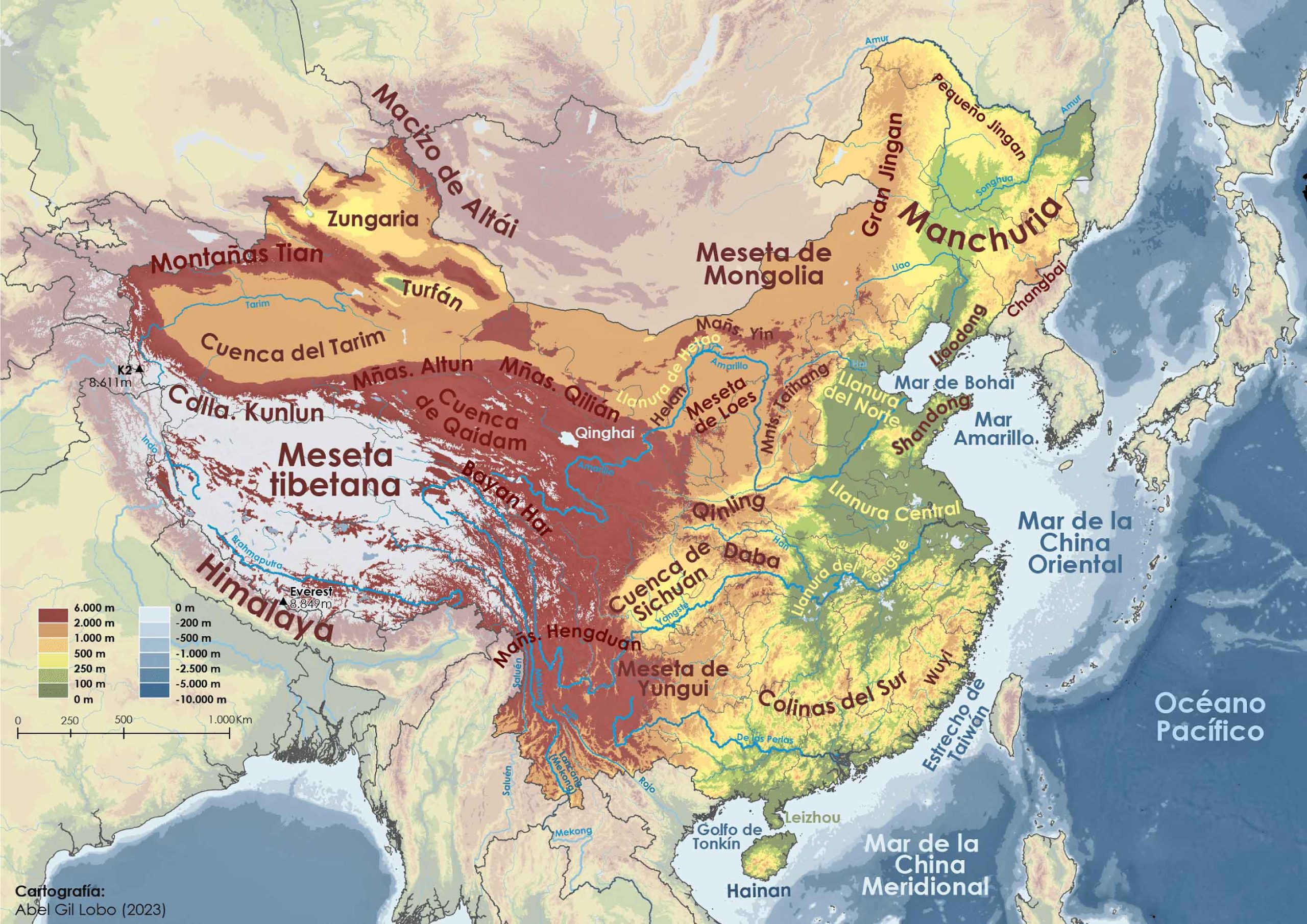
A physical map of China reveals the country’s natural landscape. It highlights major geographical features like the Himalayan mountain range, the Gobi Desert, and the Yangtze River. This type of map is essential for understanding the physical geography and natural beauty of China.
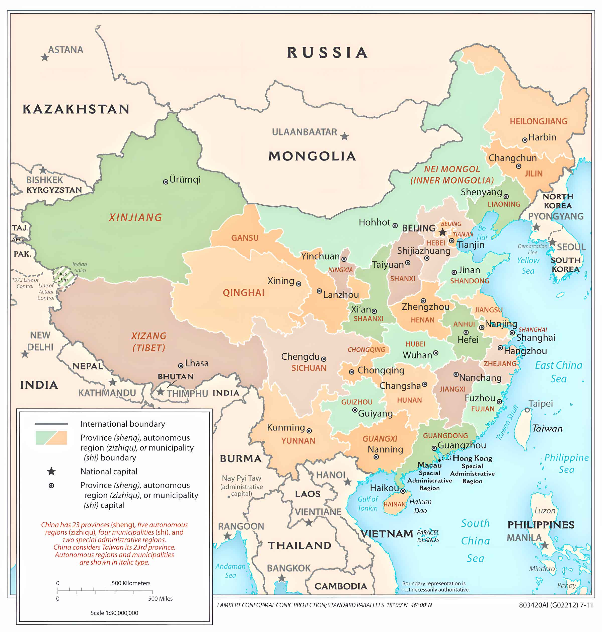
2. China Political Map
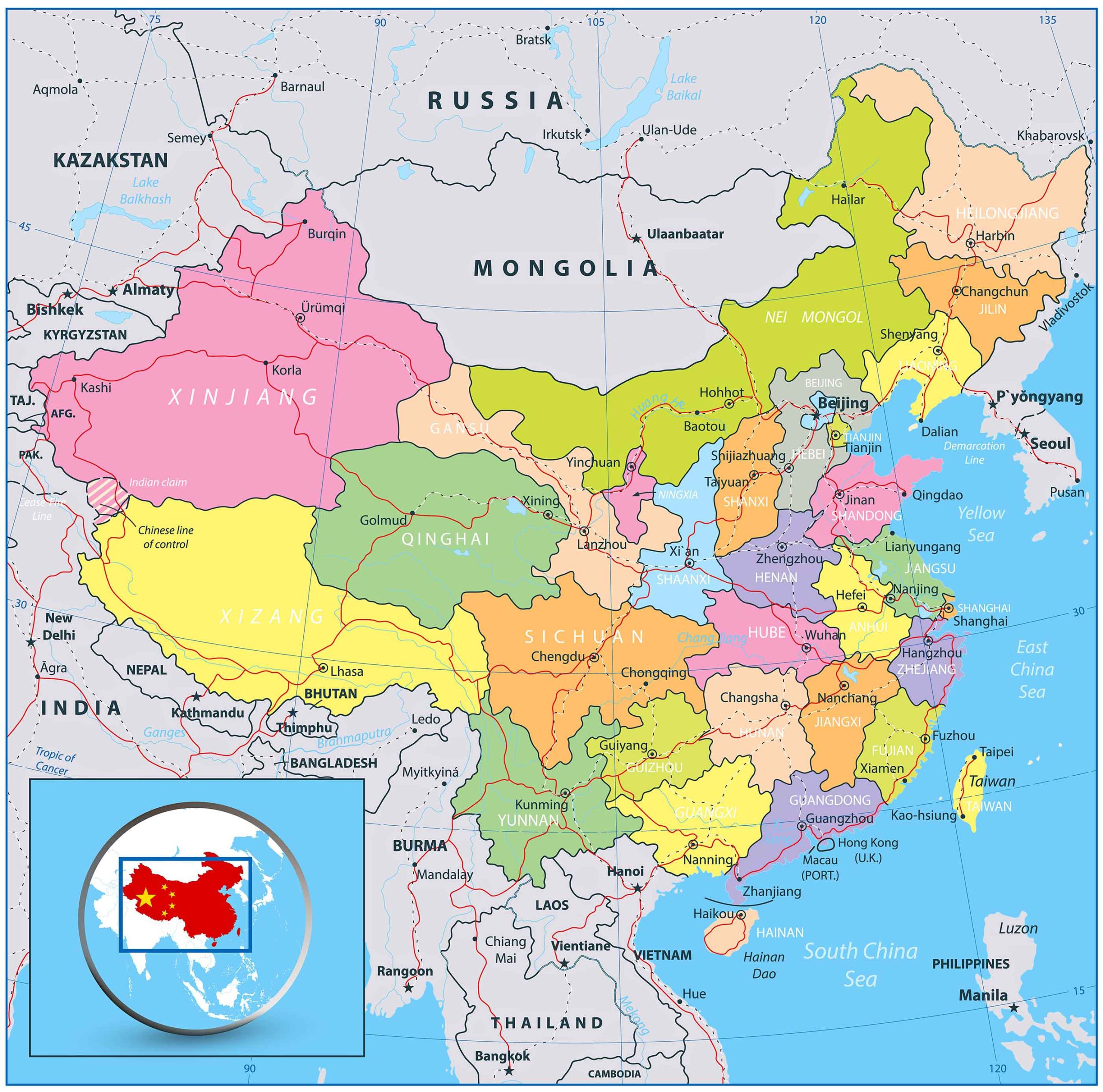
Political maps showcase the territorial boundaries of China. They display provinces, major cities, and neighboring countries, offering insight into China’s political landscape and its place in the international community.
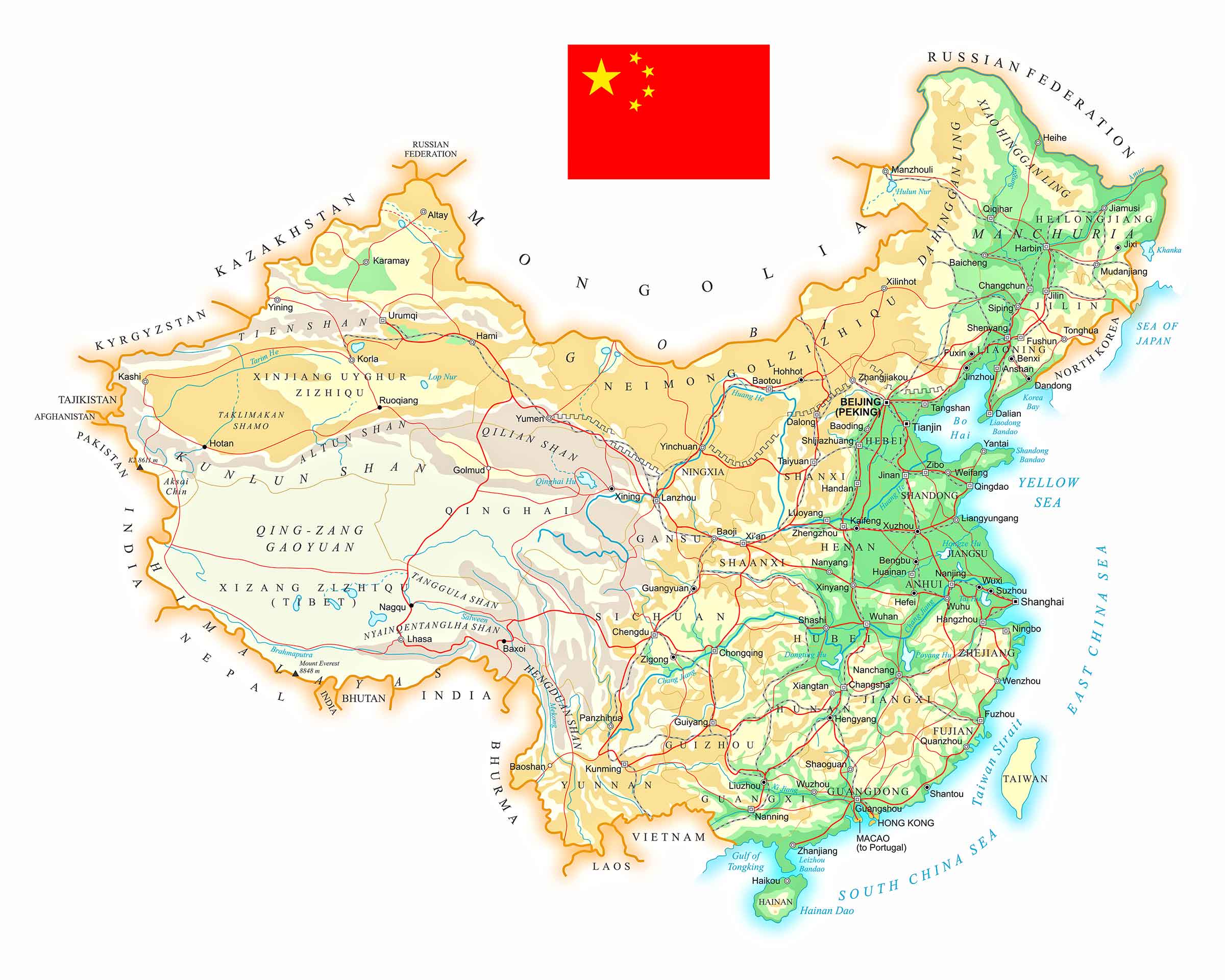
3. China Topographic Map
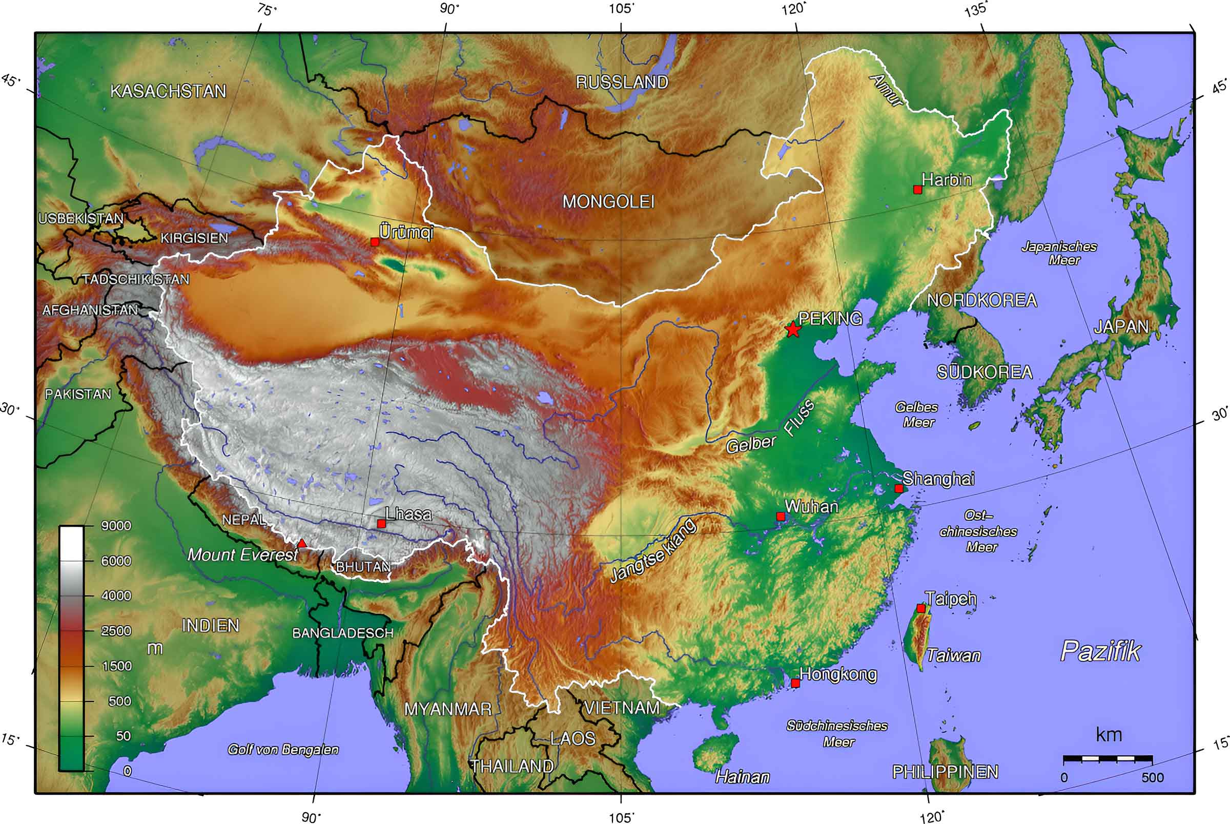
Topographic maps of China depict the country’s terrain, showing elevation changes with contour lines. These maps are particularly useful for understanding the varying elevations, from the Tibetan Plateau to the coastal plains.
4. China Relief Map
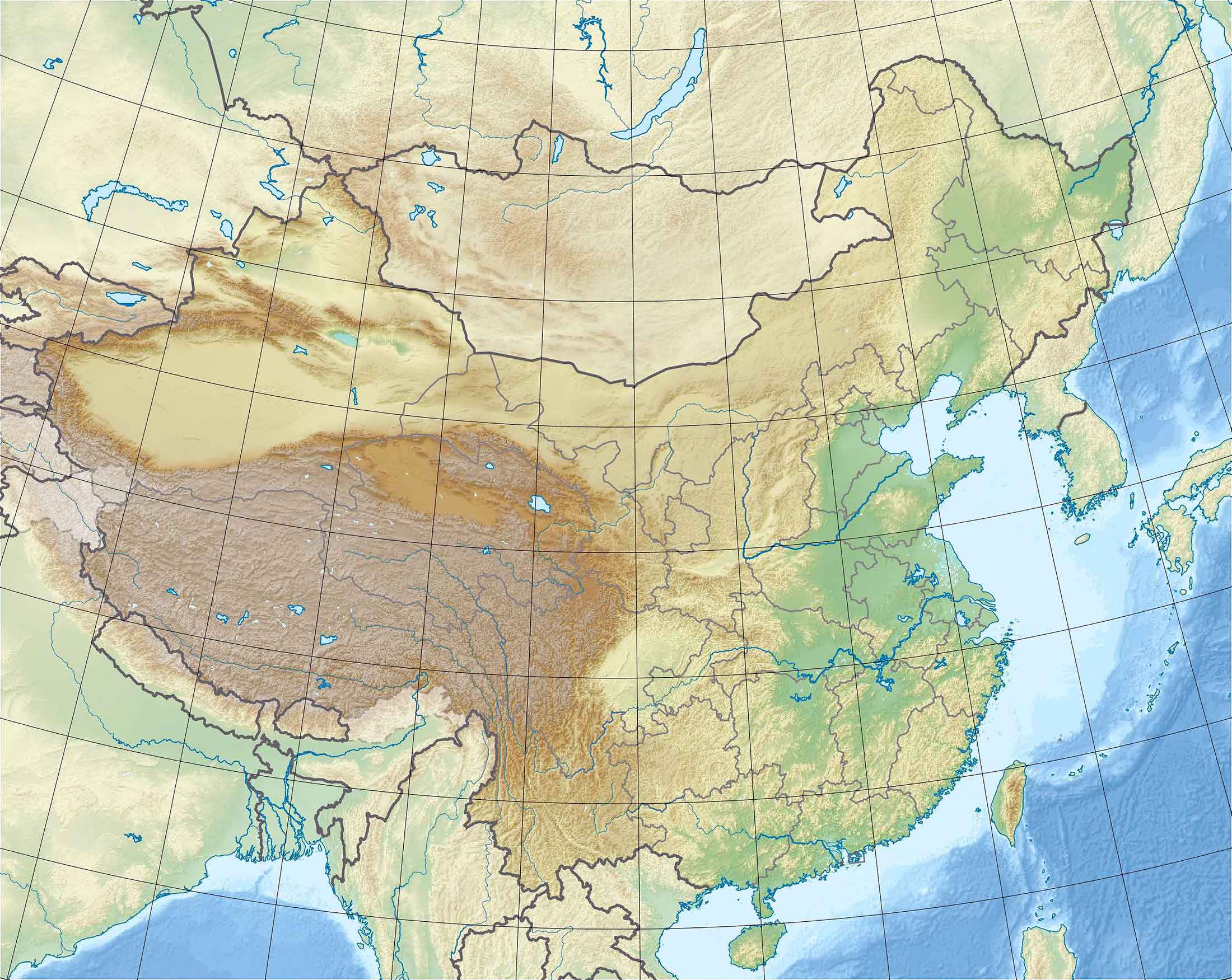
Relief maps bring a 3D aspect to topography, illustrating China’s terrain with shadows and color gradients. These maps are especially useful for visualizing mountainous areas like the Himalayas and the Karakoram Range.
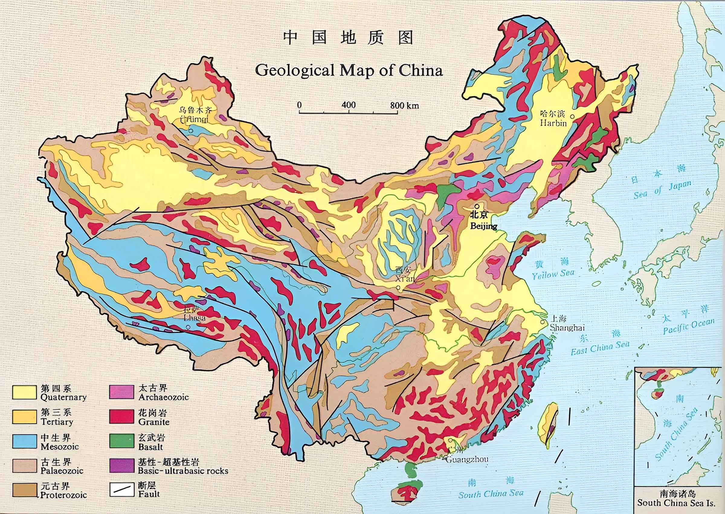
5. China Geological Map
Geological maps offer a glimpse into China’s rich natural resources and geological history. They display the types of rocks and earth found throughout the country, important for studies in natural resources and seismology.
6. China Cities, Counties, Capitals Map
Urban maps of cities like Beijing, Shanghai, and Guangzhou provide detailed views of streets, landmarks, and urban planning. These maps are invaluable for understanding the layout and infrastructure of China’s bustling metropolises.
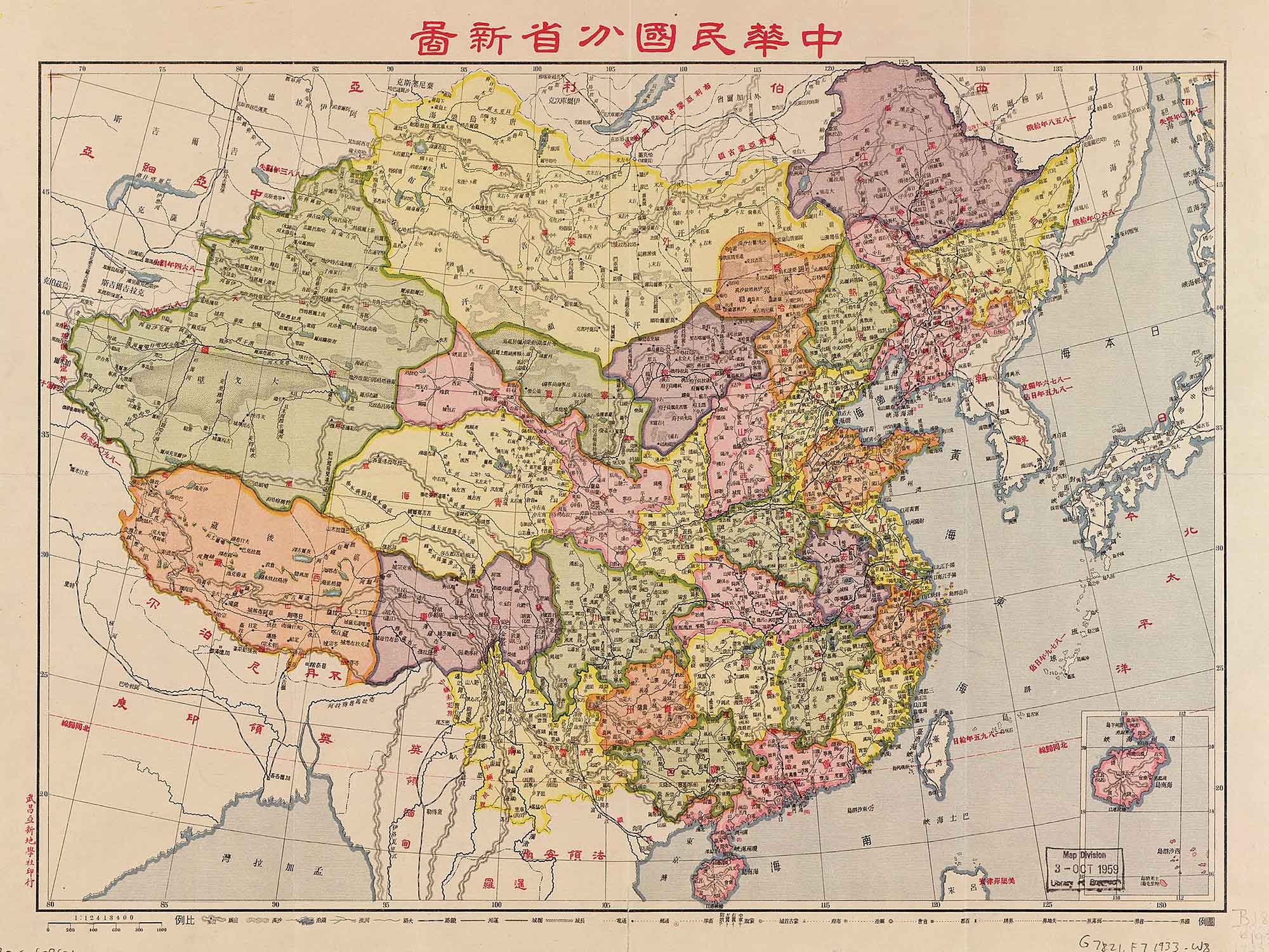
7. China Historical Map (1930)
Historical maps of China tell the story of the nation’s evolution over centuries. They trace the boundaries of ancient dynasties, historic trade routes like the Silk Road, and significant historical events.
8. China Regions Map
Regions maps break down China into its various geographical and cultural regions, each with its own unique characteristics and identity, from the Manchurian plains to the southern tropical zones.
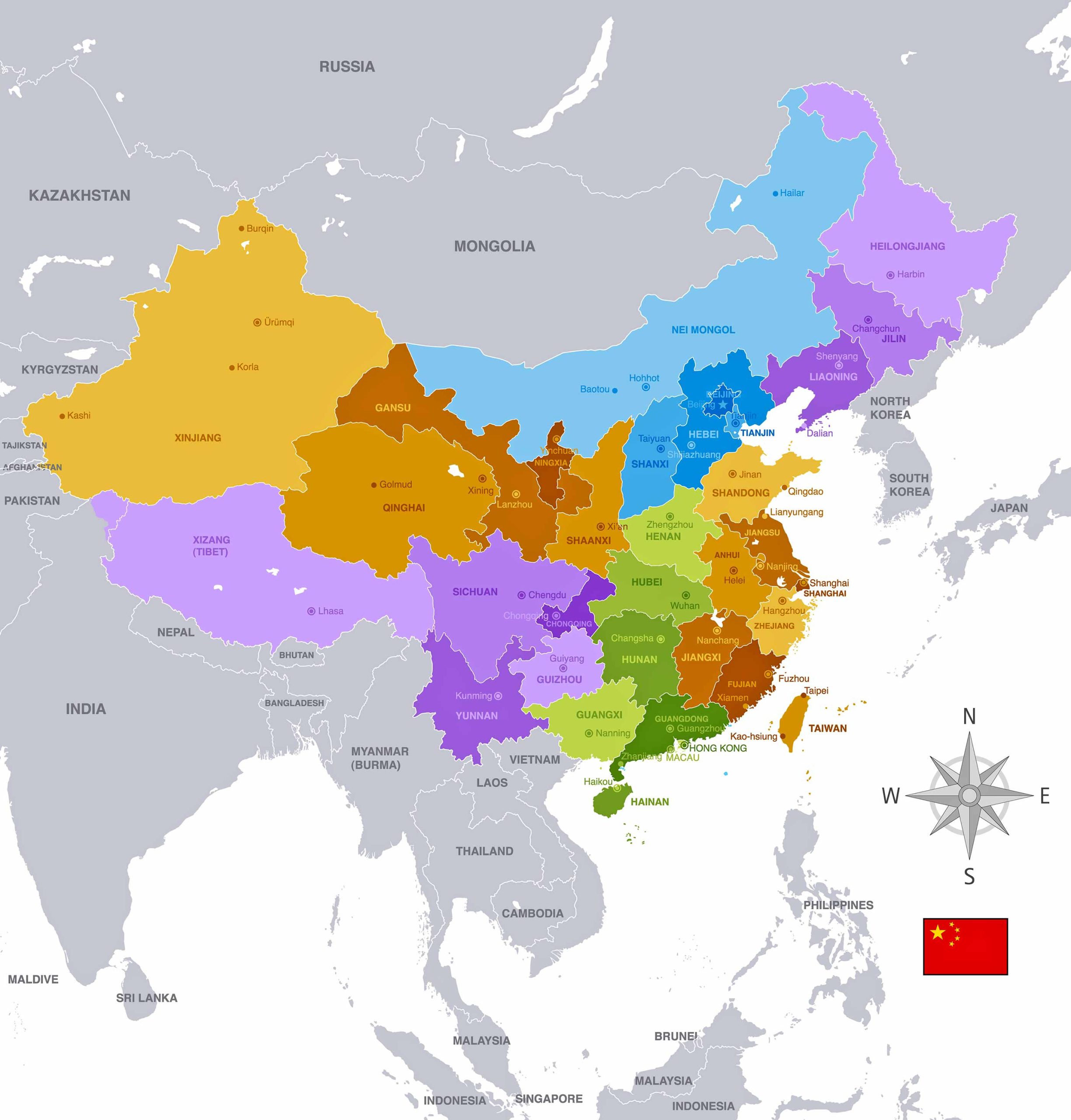
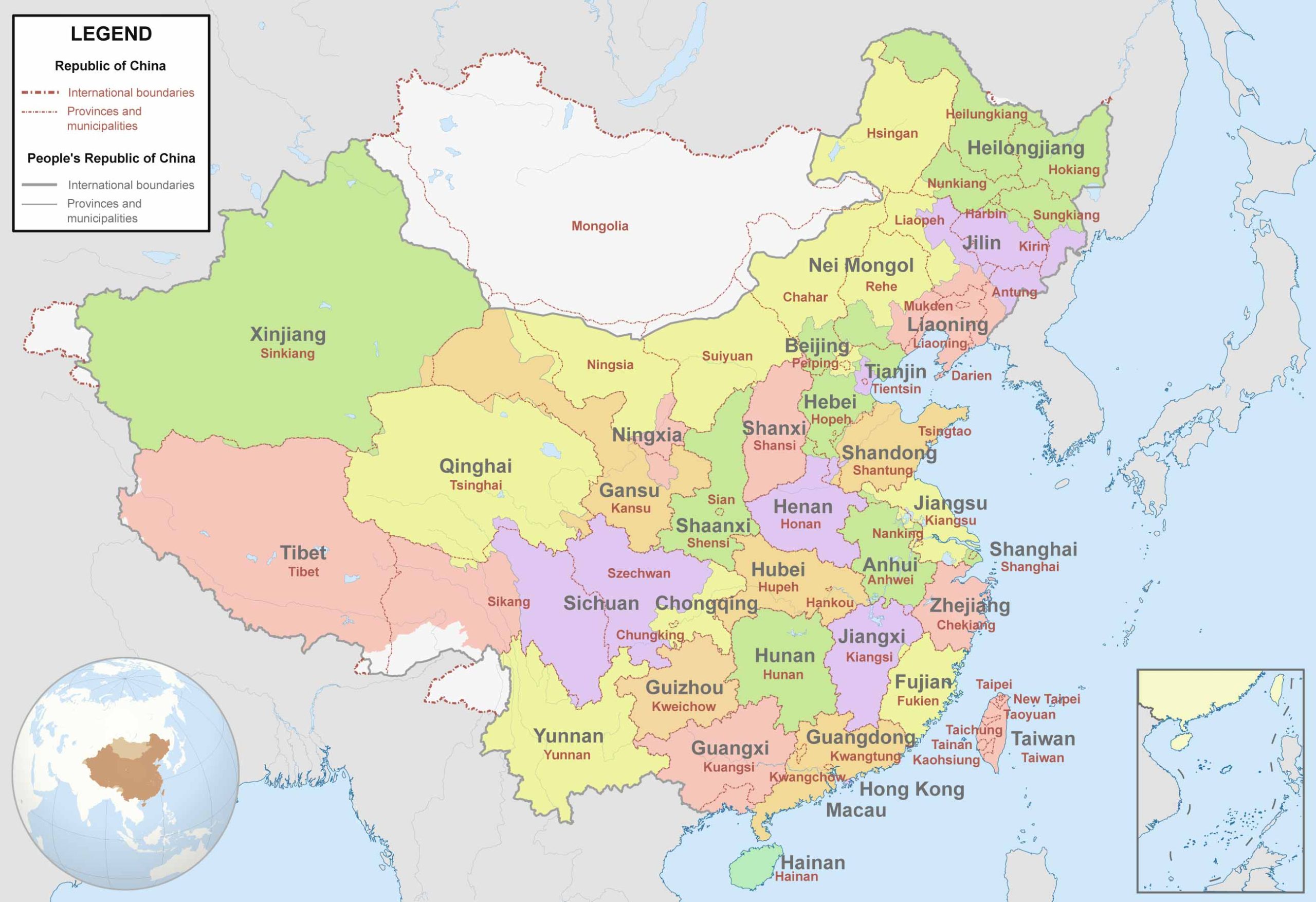
9. China Administrative Divisions Map
These maps detail China’s administrative structure, illustrating provinces, autonomous regions, and special administrative regions like Hong Kong and Macau.
10. China Transit Map
Transit maps, particularly those of larger cities, show the complexity and extent of China’s public transportation system, including subways, bus routes, and other forms of public transit.
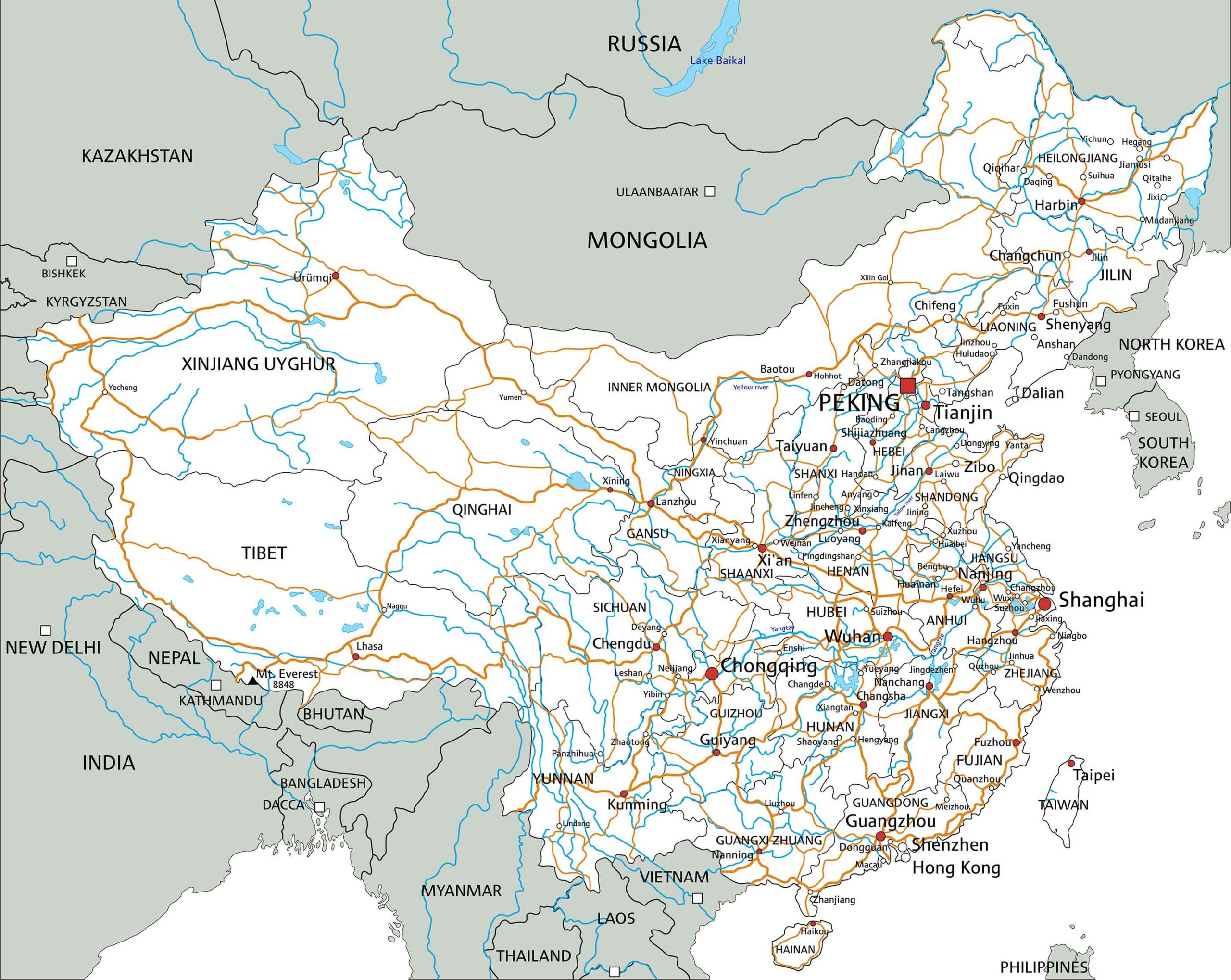
11. China Road Map
Road maps are essential for navigation, displaying highways, national roads, and local routes, connecting major cities and remote areas across China.
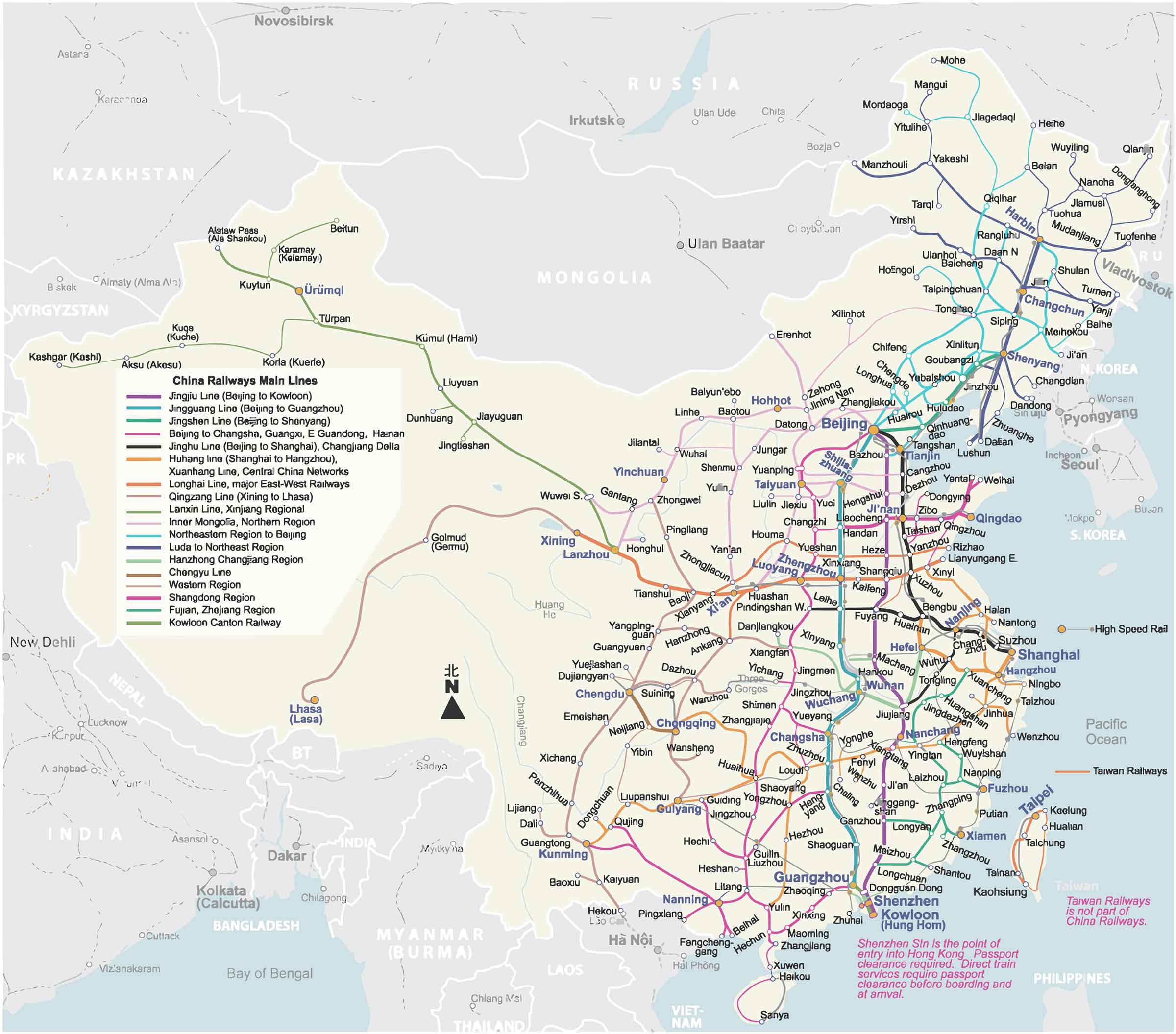
12. China Train-Railway Map
China’s extensive railway network is best understood through a train-railway map, highlighting high-speed train routes, traditional rail lines, and the connectivity between different regions.
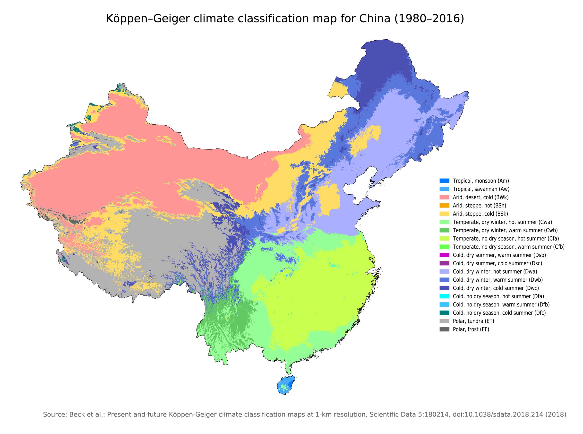
13. China Climatic Map
Climatic maps of China illustrate the varied climates across the country, from the arid deserts in the northwest to the subtropical zones in the southeast.
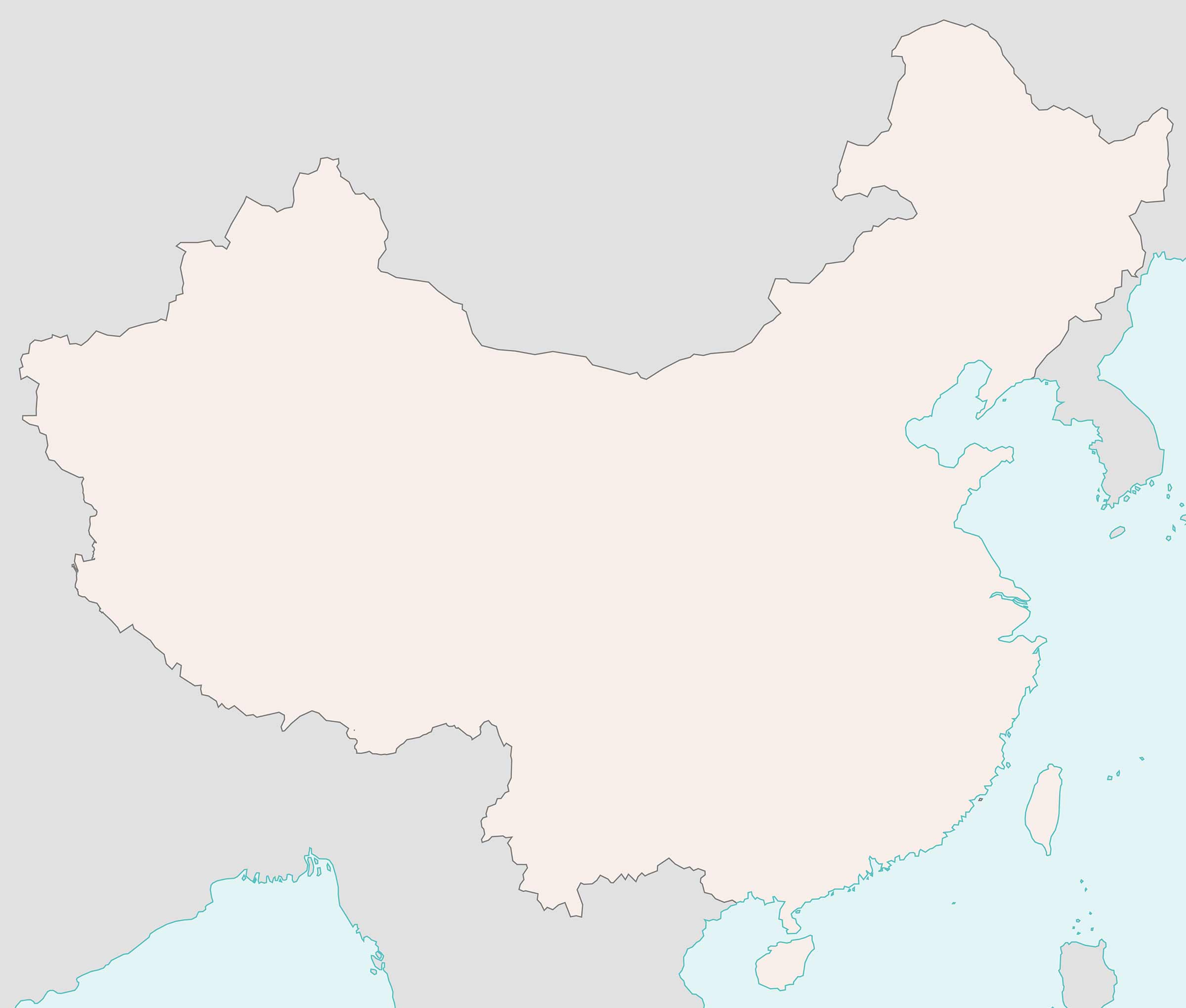
14. China Blank Map
A blank map of China serves as a template for educational purposes or for creating customized maps.
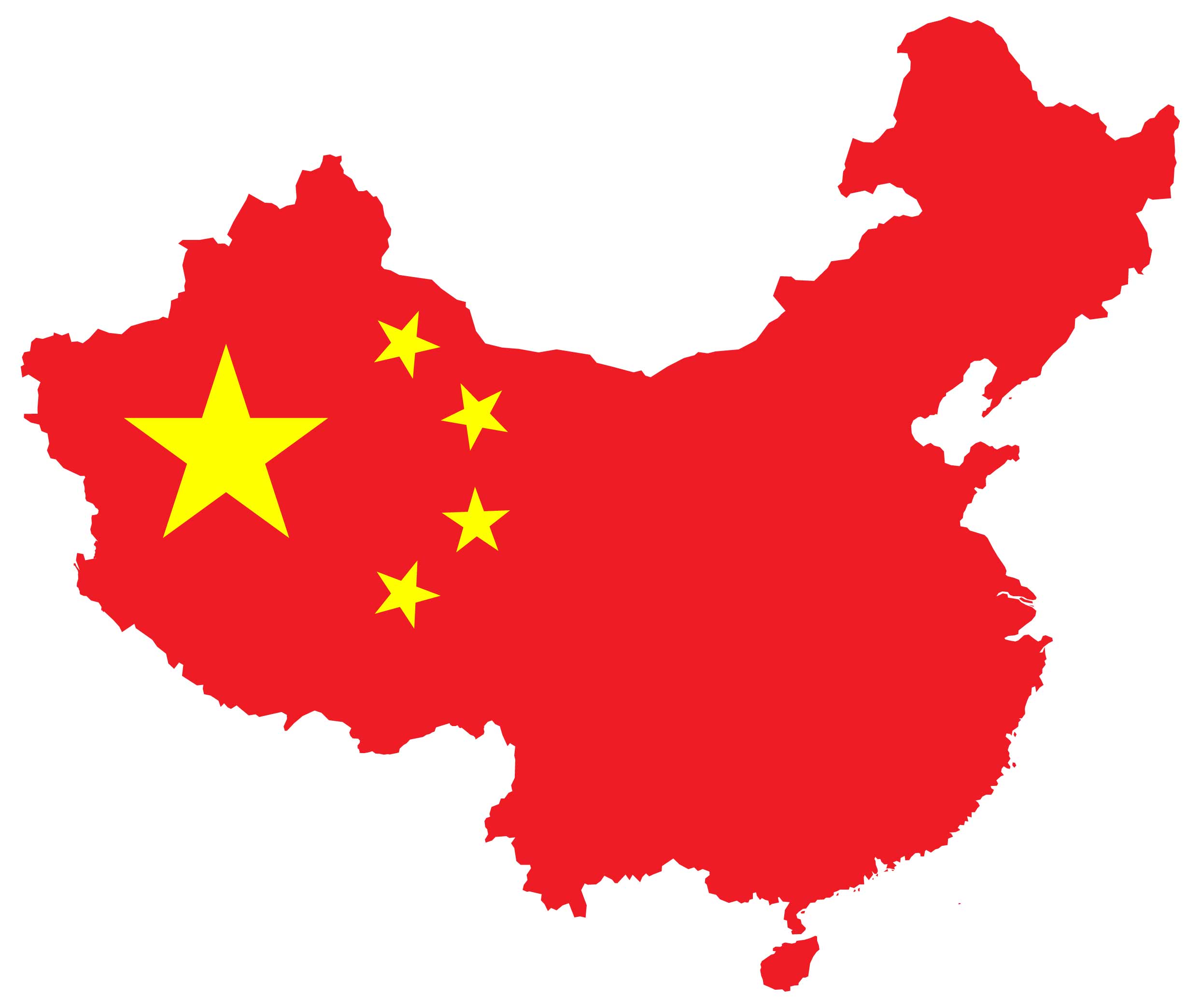
15. China Flag Map
Flag maps merge the national flag with the map of China, symbolizing national pride and identity.
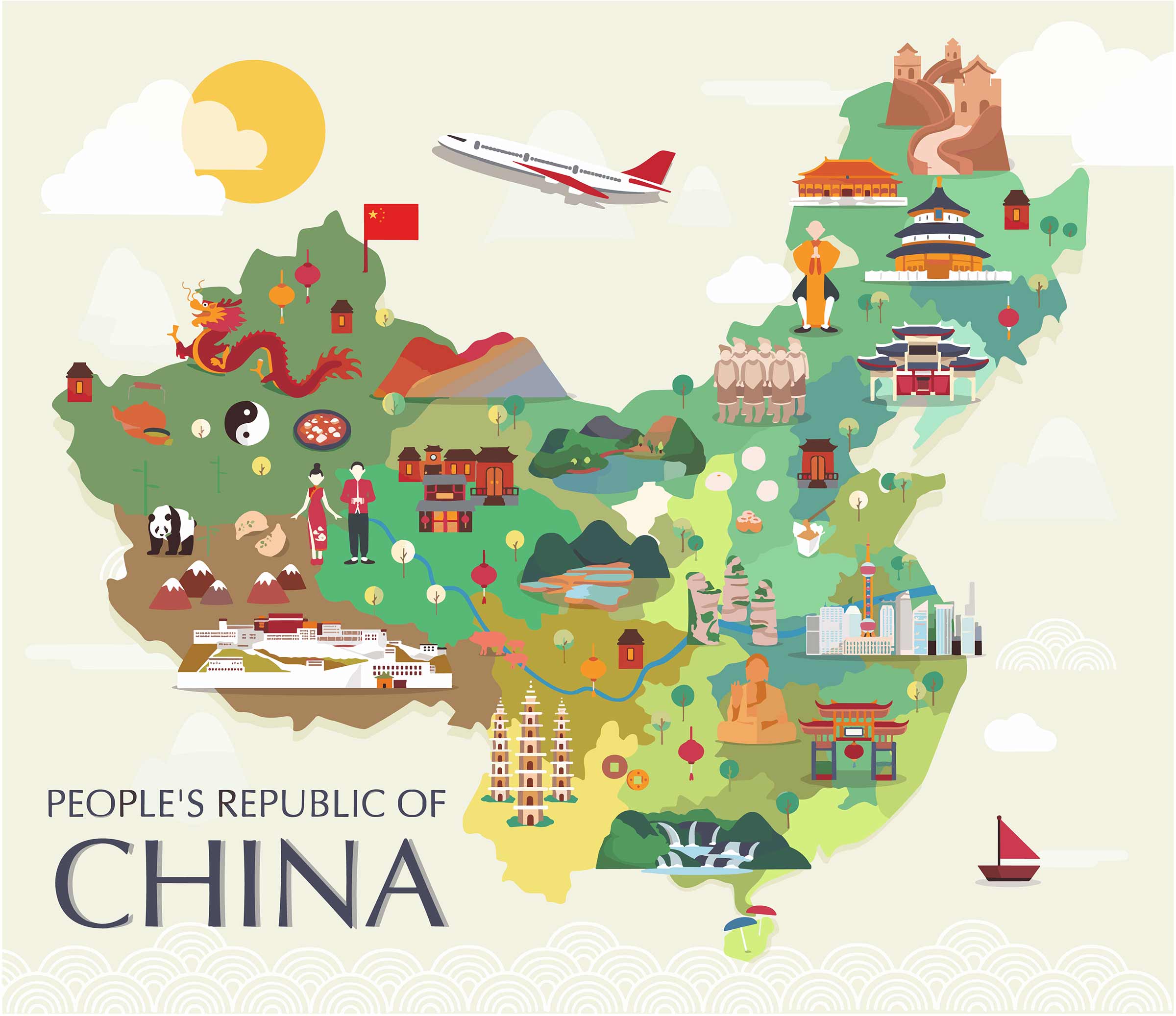
16. China Travel-Tourist Map
These maps highlight China’s key tourist attractions, travel routes, and destinations, essential for any traveler exploring this vast country.
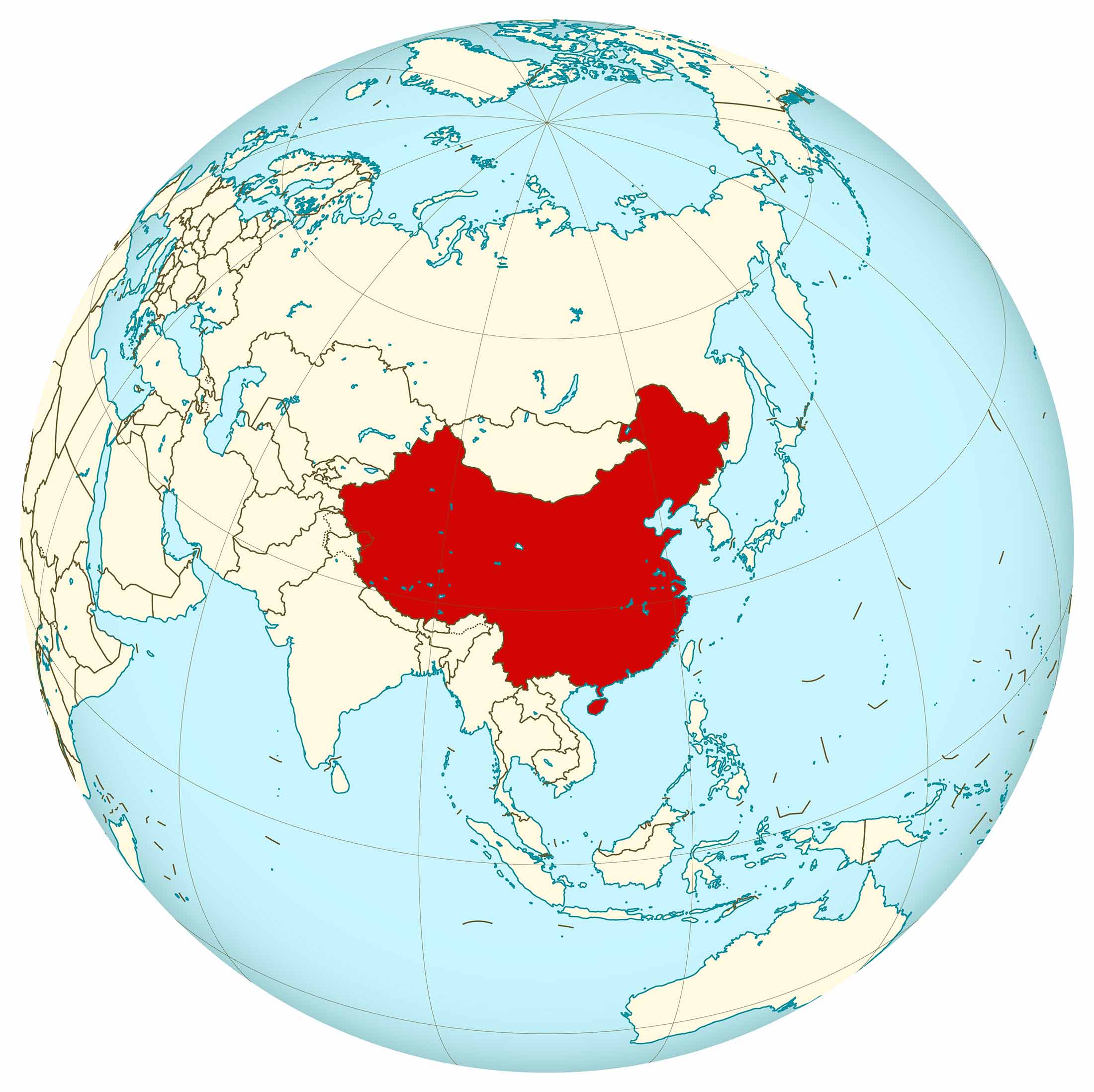
17. Map of China’s Location in the Word Map
This global perspective places China in the context of world geography, illustrating its location, size, and global significance.
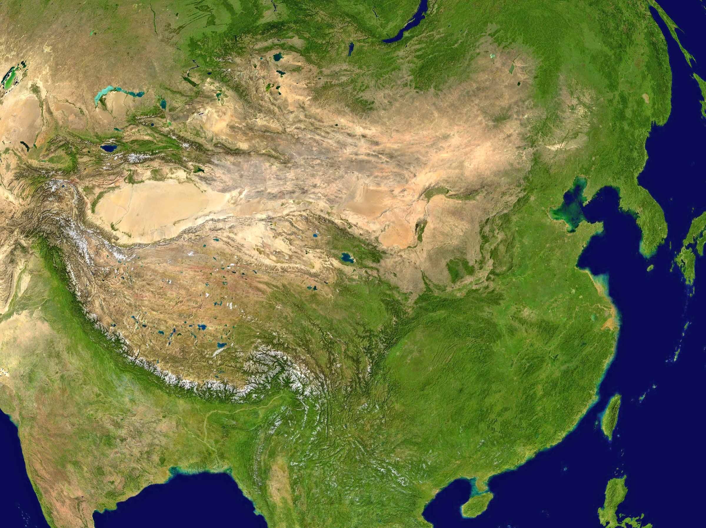
17. China Earth Satellite Map
Satellite maps provide a real-time or near-real-time view of China from space, showing weather patterns, urban development, and natural landscapes.
As we conclude our journey through these diverse maps of China, we hope you have gained a deeper understanding and appreciation of this fascinating country. From its ancient roots to its modern-day dynamism, China’s story is beautifully told through these varied cartographic representations. Whether you’re a geography enthusiast, a traveler planning your next adventure, or simply curious about the world, these maps offer valuable insights into the heart of China.
Where is China on the Asia Map?
Show Google map, satellite map, where is the country located.
Get directions by driving, walking, bicycling, public transportation and travel with street view.
Feel free to explore these pages as well:
- Asia Map ↗️
- Map of Asia ↗️
- Bangkok: Asia’s City of Angels and Its Hidden Gems ↗️
- A Collection of Asia Maps ↗️
- About Asia and Maps ↗️
- A Collection of China Maps ↗️
- China’s Largest Cities ↗️
- A Collection of Bangladesh Maps ↗️
- Thailand Map ↗️
- About Thailand ↗️
- Thailand Photos ↗️
- Top 10 Experiences in Phuket ↗️
- Bangkok: Asia’s City of Angels and Its Hidden Gems ↗️

