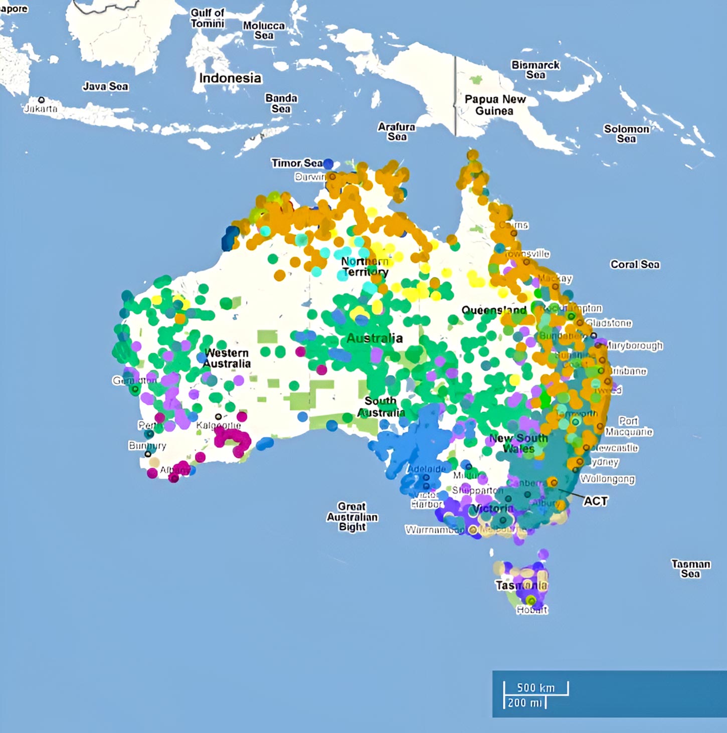
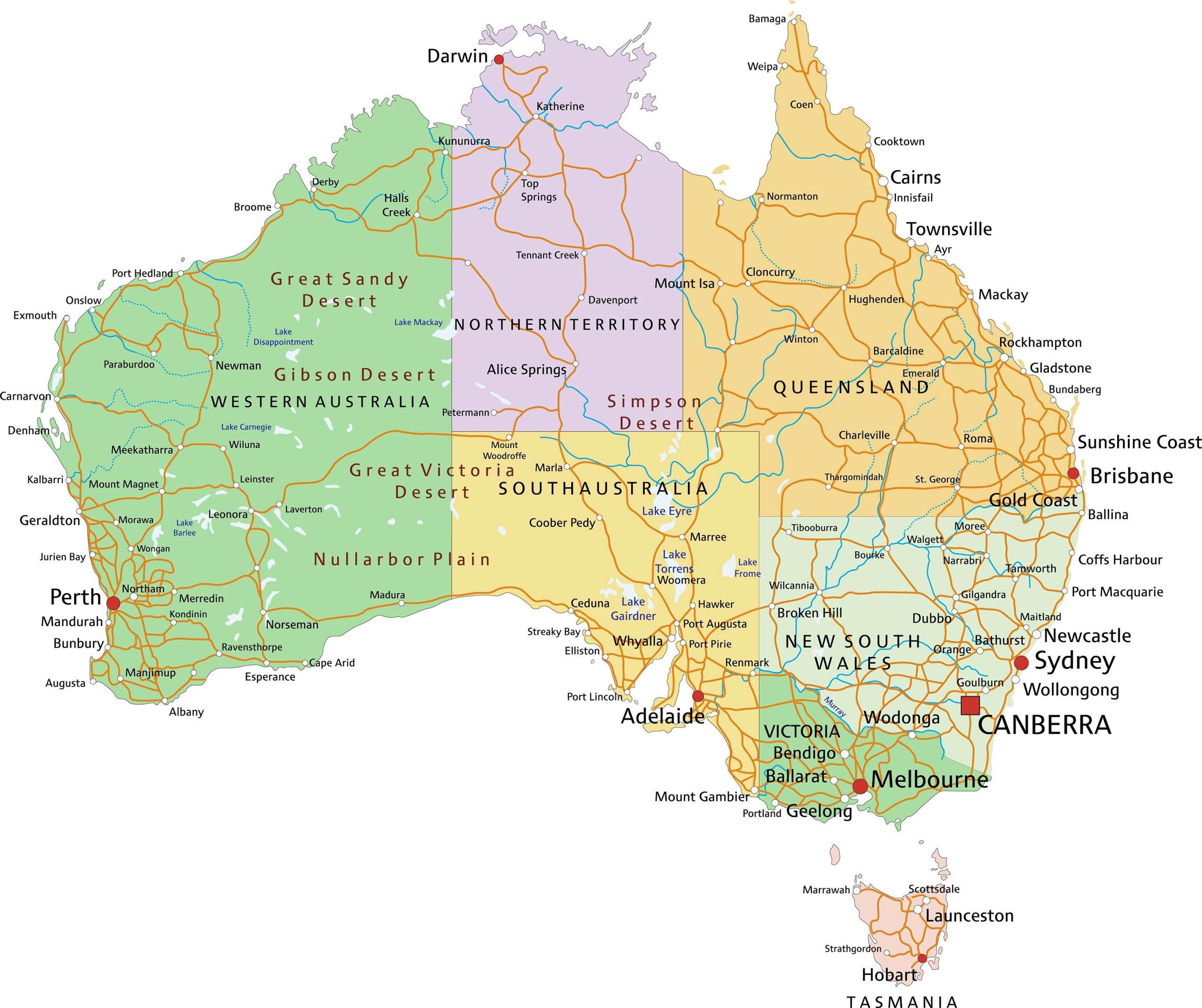
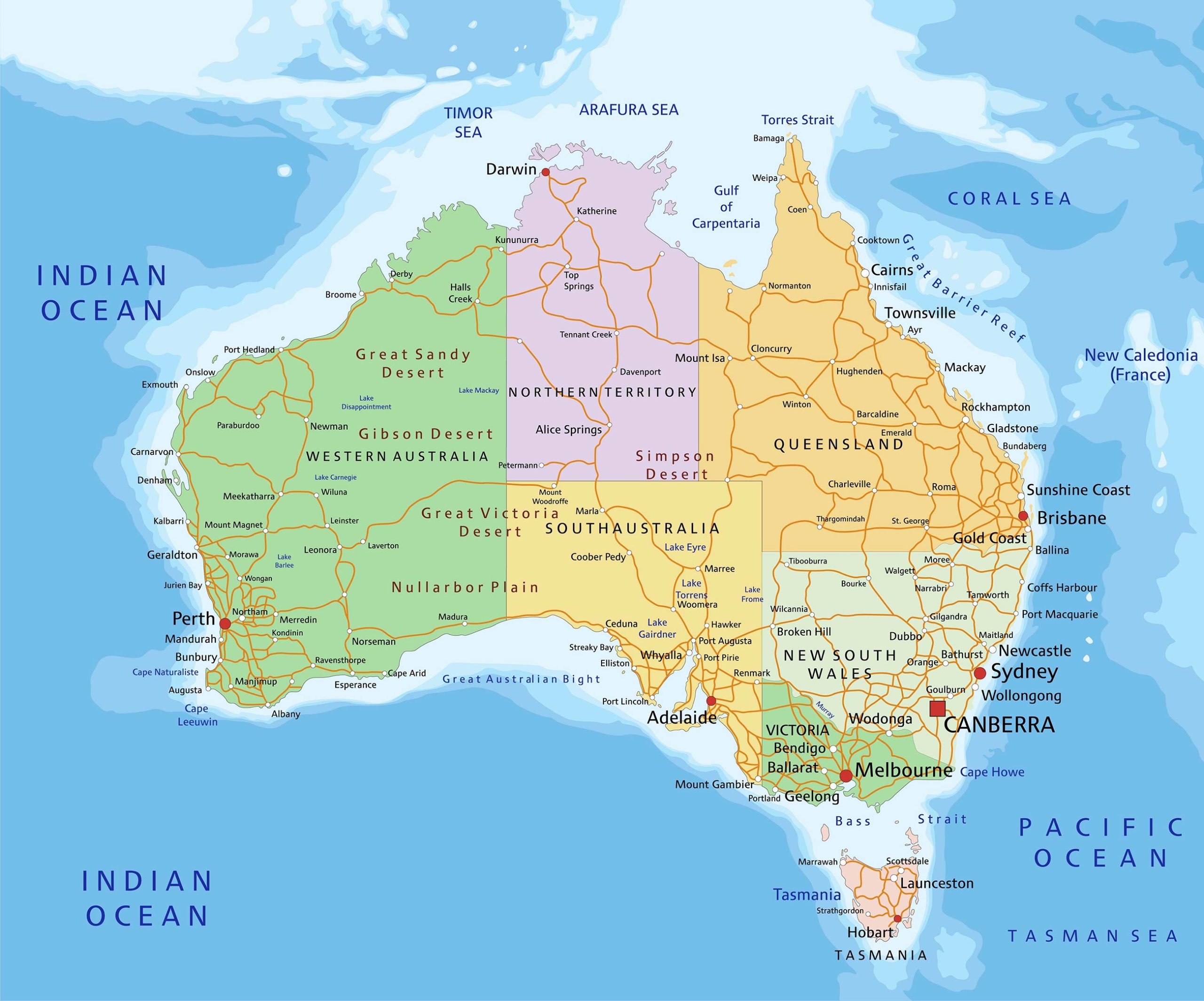
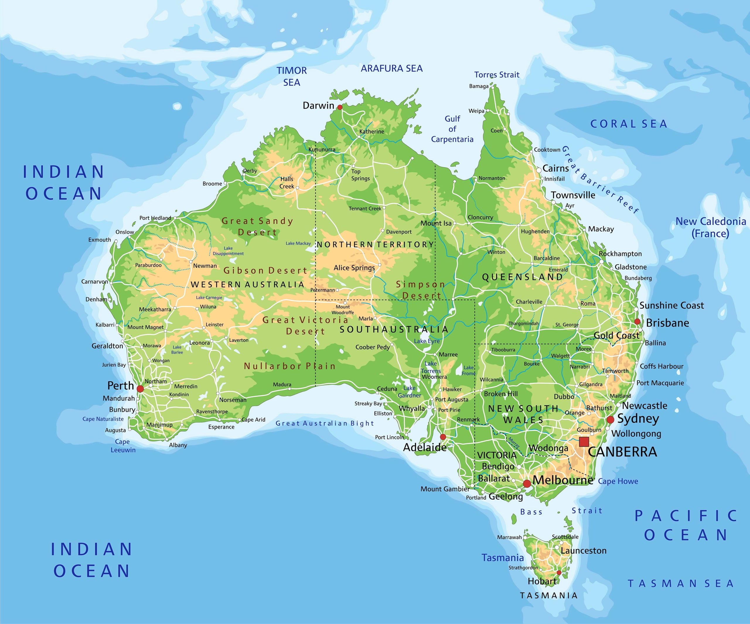
One of the largest and most geographically diverse nations in the world, Australia is a land of contrasts. From the arid deserts of the Outback to the bustling cities along the coast, there’s much to explore. Today, I want to take you on a journey through the varied landscapes of Australia, not by foot or by plane, but through maps!
1. Topographical Maps:
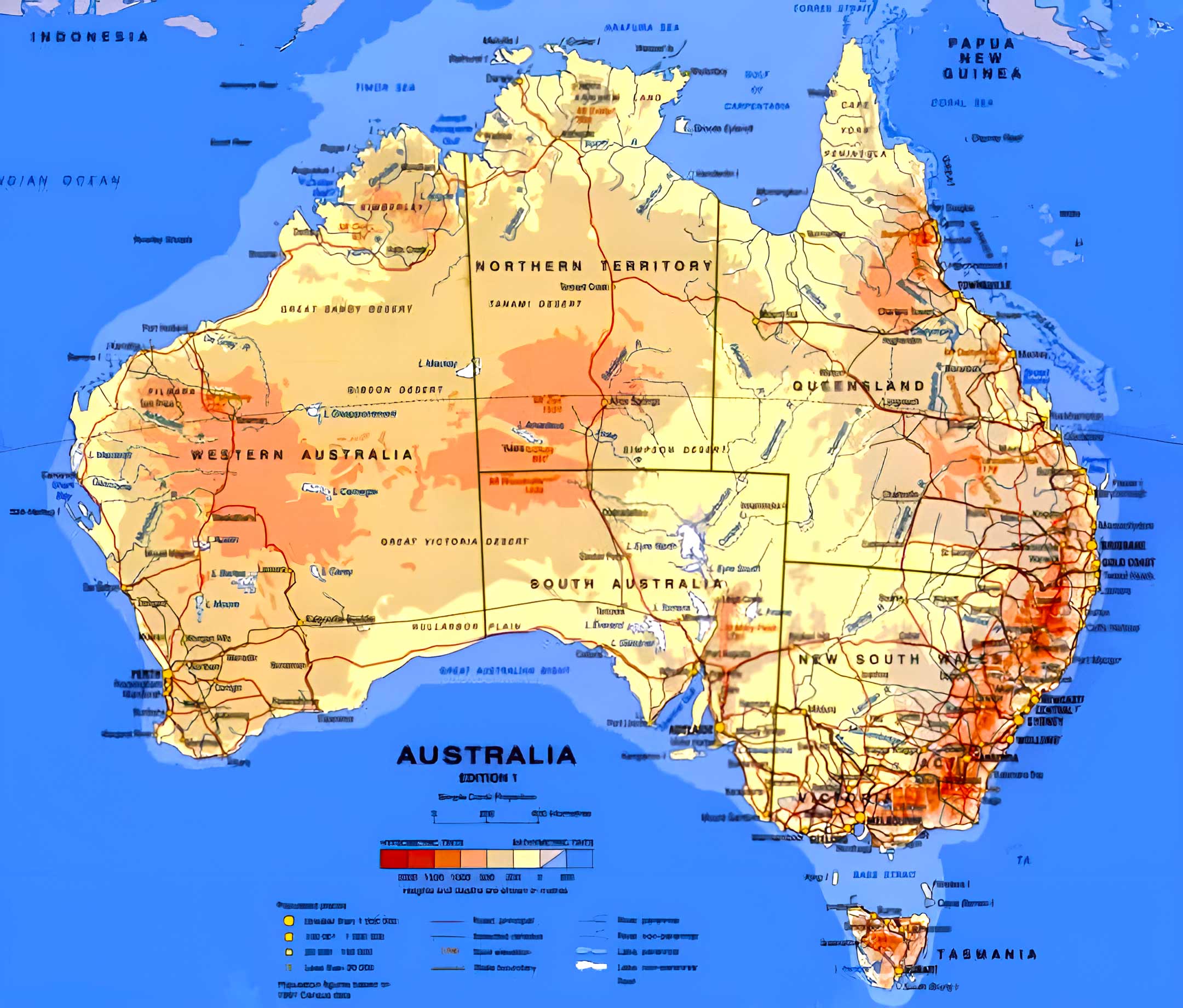
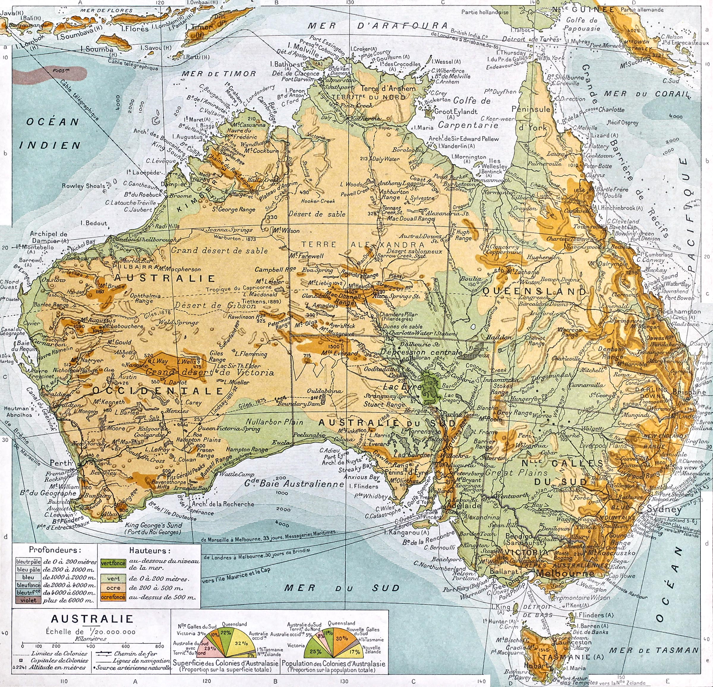
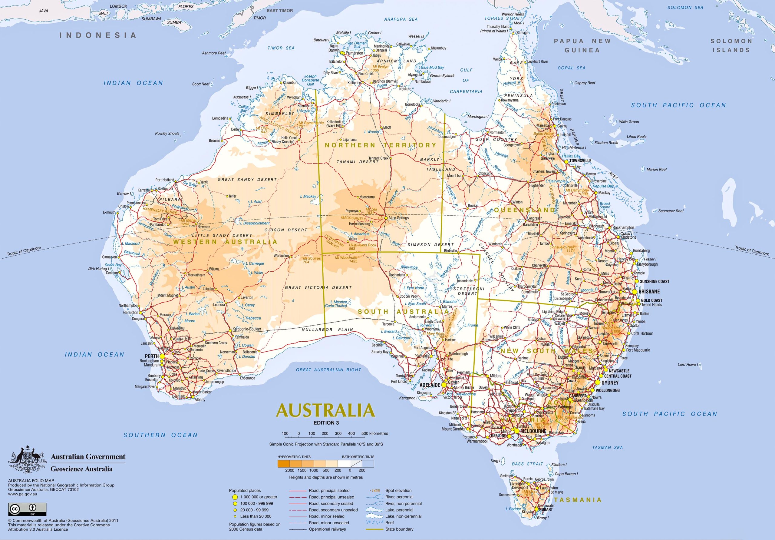
Topographical maps offer a three-dimensional perspective of the land. Australia’s vast landscape is home to features like the Great Dividing Range, which stretches over 3,500 km. These maps showcase the stunning elevation differences and give you an idea of the continent’s diverse geography.
2. Climate Maps:
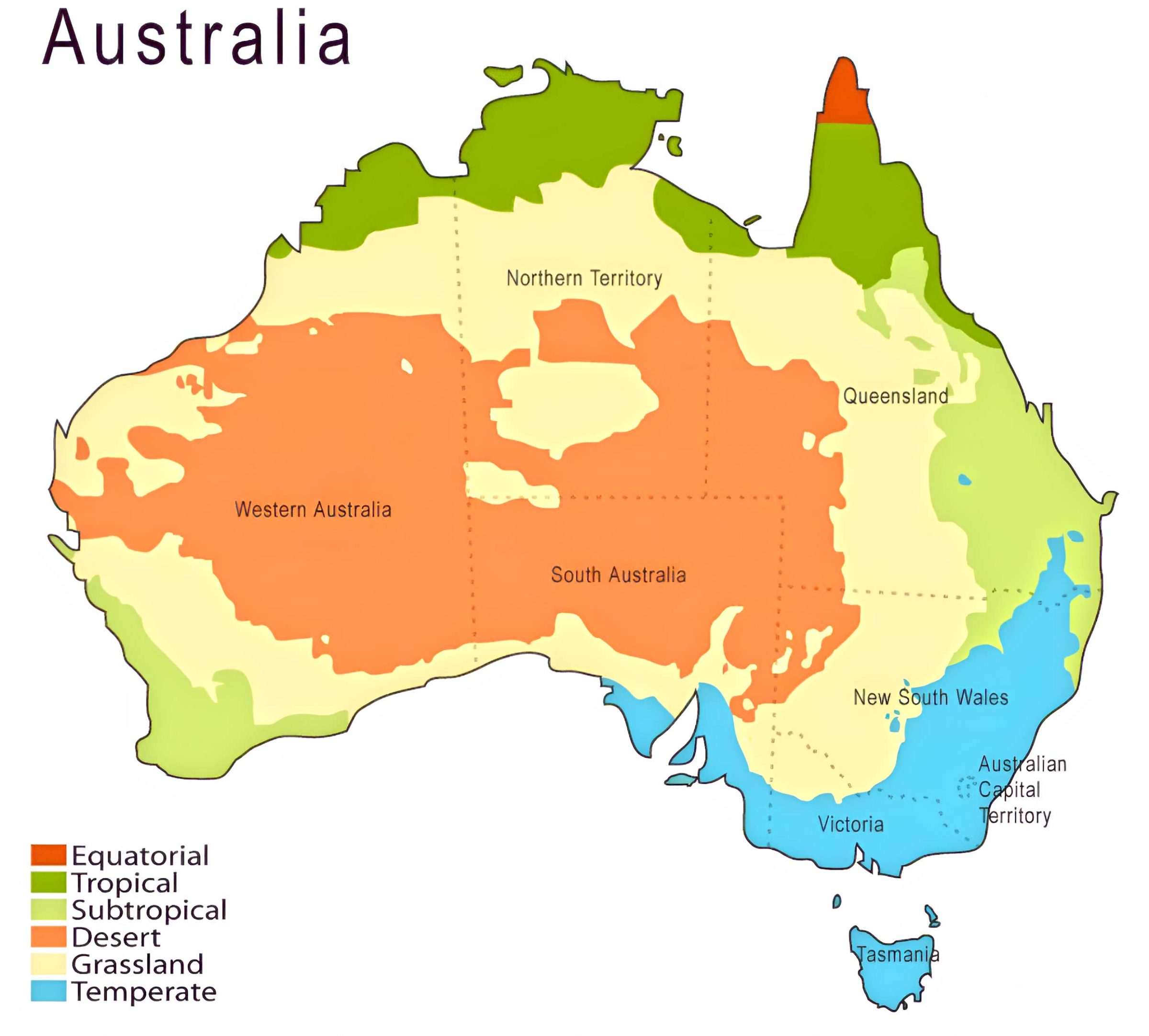
Climate maps help us understand the vast array of climates present in this vast nation. From the tropical regions of Queensland to the temperate zones of Victoria and the arid desert in the center, these maps offer insights into Australia’s complex climatic zones.
3. Road and Transportation Maps:
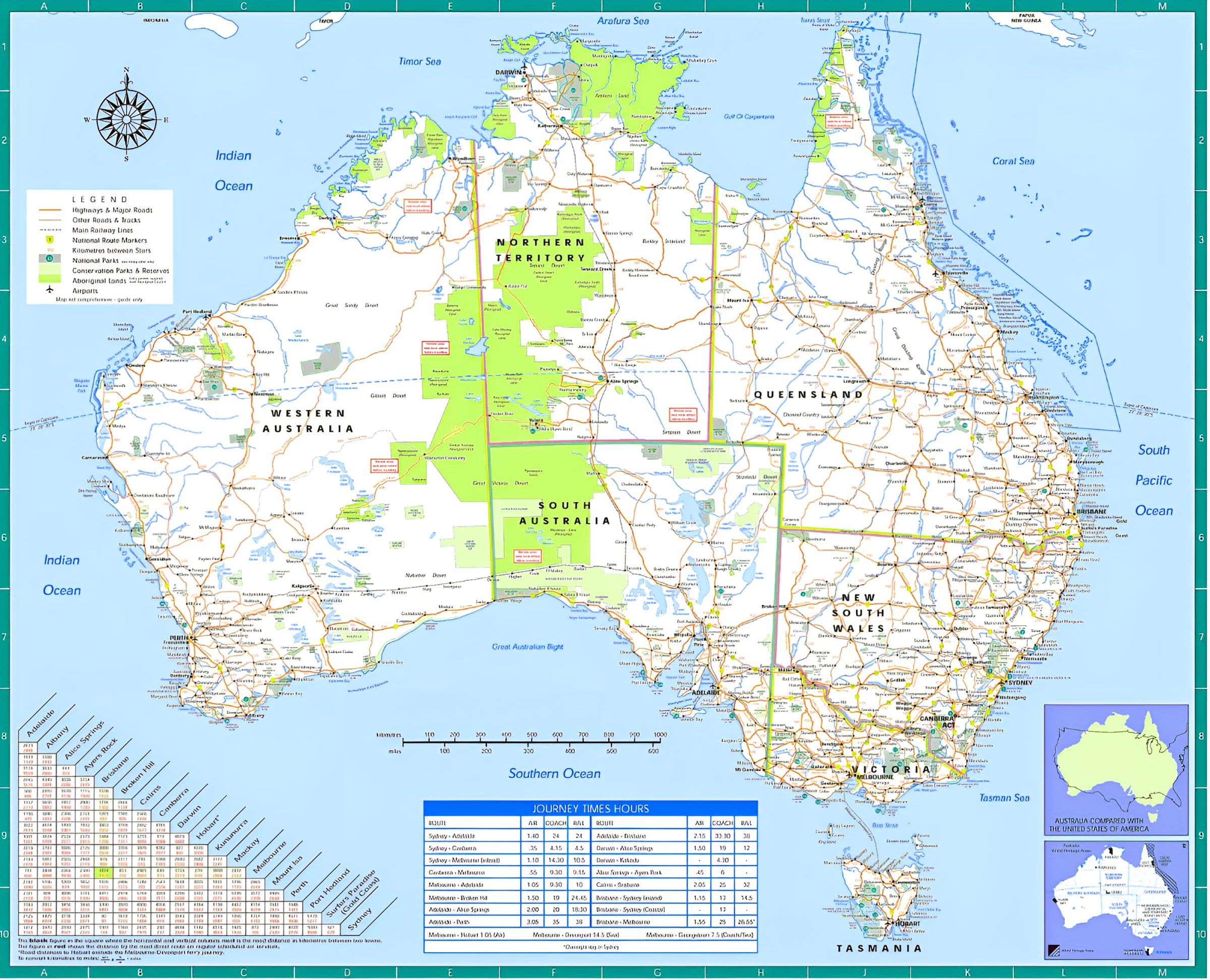
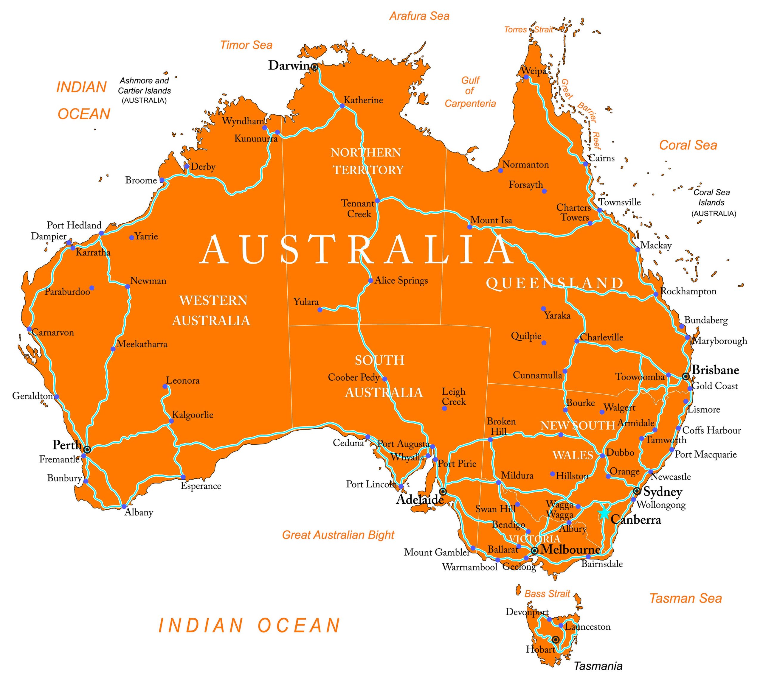
For the travelers and road-trippers out there, these maps are a treasure! They provide detailed information about major highways, such as the Pacific Highway and the Stuart Highway, aiding in navigation throughout the country.
4. Cultural and Historical Maps:
Australia’s rich history, including its indigenous cultures, can be visualized through these maps. From the territories of the Aboriginal tribes to the routes taken by European explorers, these maps are a testament to Australia’s vibrant past.
5. Biodiversity Maps:
Australia is known for its unique biodiversity. Whether it’s the kangaroos hopping around or the exotic birds chirping, this map gives an insight into the habitats of Australia’s indigenous species.
6. Urban Maps:
For those who love the hustle and bustle of cities, these maps offer a deep dive into Australia’s urban landscapes, showcasing neighborhoods, major landmarks, and city layouts.
Other Australia’s Maps:
Australia Political Map:
Australia Detailed Physical Map:
Australia Detailed Topographic Map:
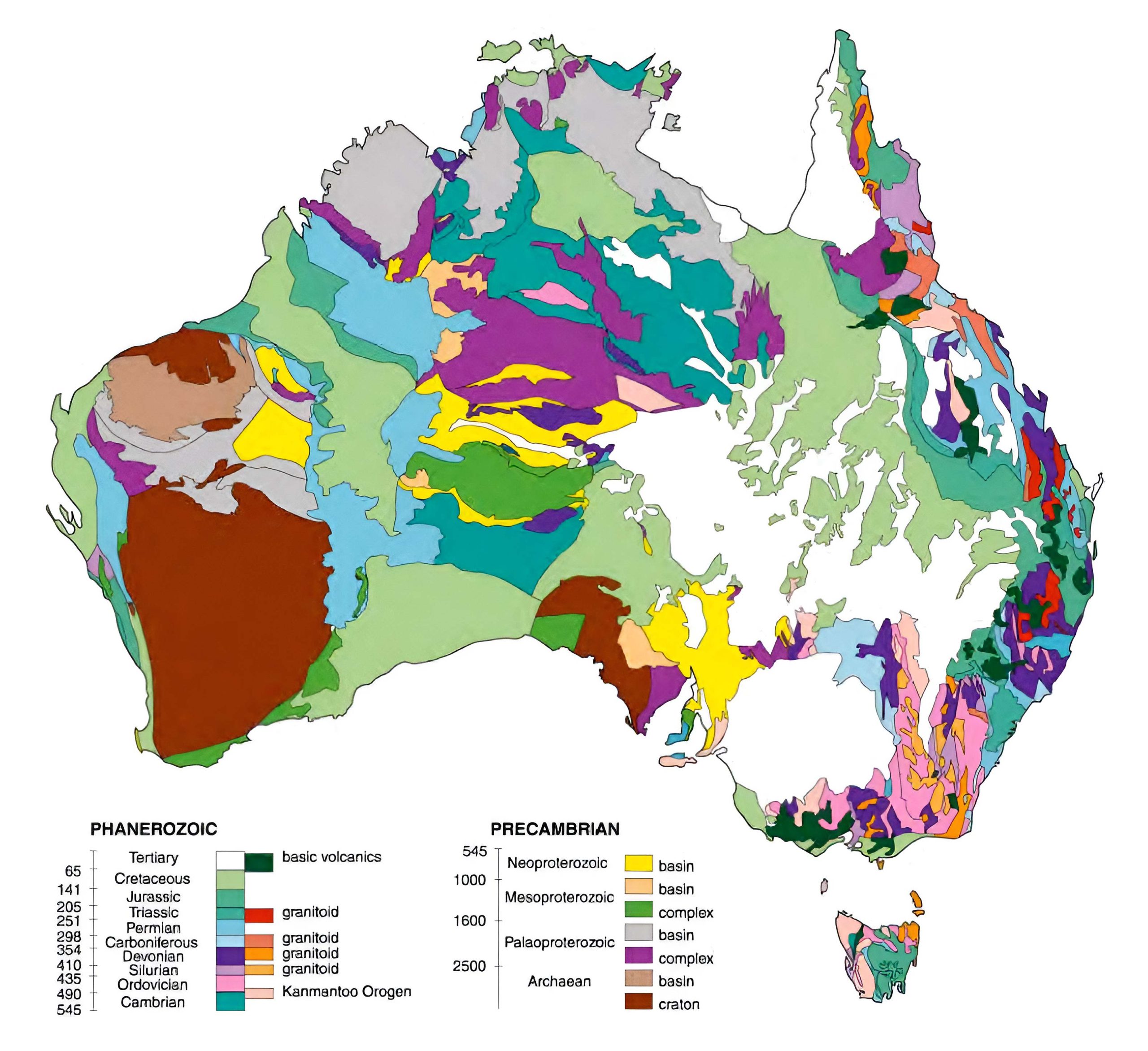
Australia Geological Map:
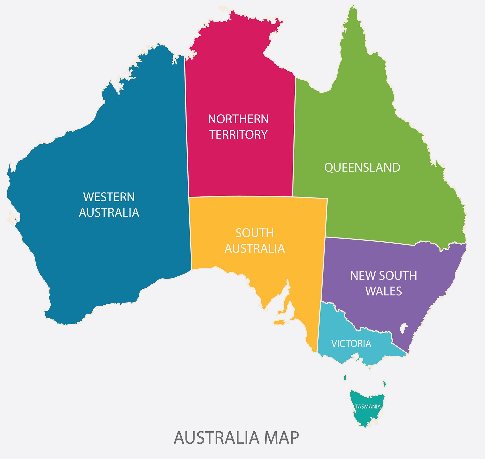
Australia Regions Map:
Australia Road Map
Australia Political Map:
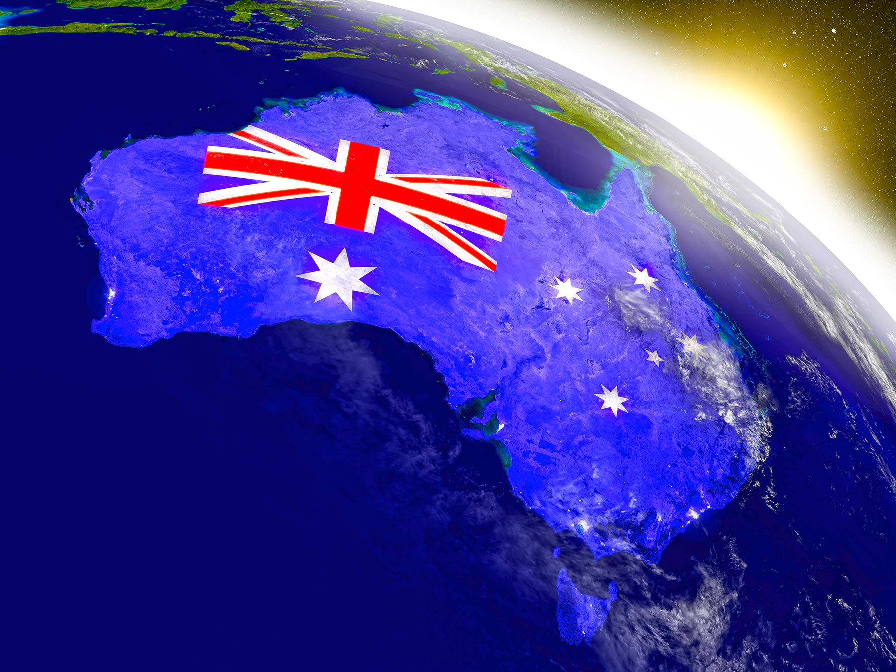
Australia Embedded Flag Map:
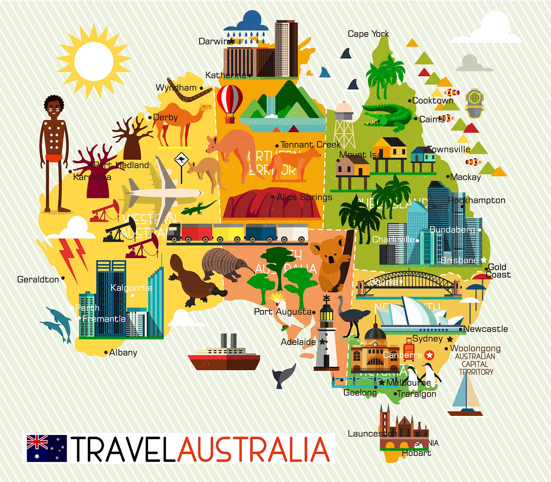
Australia Travel Illustrator Map
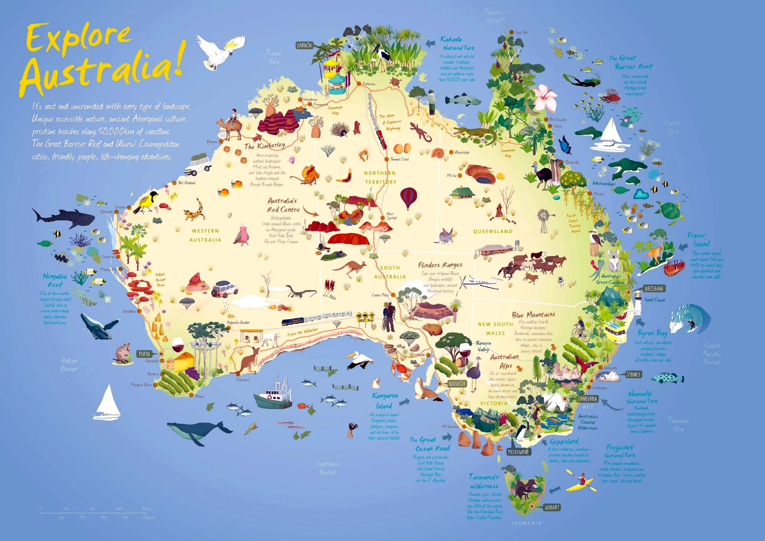
Australia Travel Map
Australia is a vast and varied continent, and maps provide a unique way of understanding its beauty and diversity. Whether you’re a geography nerd, a traveler, or just curious, I hope this collection of maps has offered you a fresh perspective on the land down under.
Stay tuned for more cartographic adventures in our next post. And as always, happy exploring!
Remember, dear readers, maps not only guide us to our destinations but also invite us on journeys we never thought possible. If you have any favorite maps or cartographic tales of your own, do share in the comments below!
Safe travels and until next time! 🌏🗺️🇦🇺
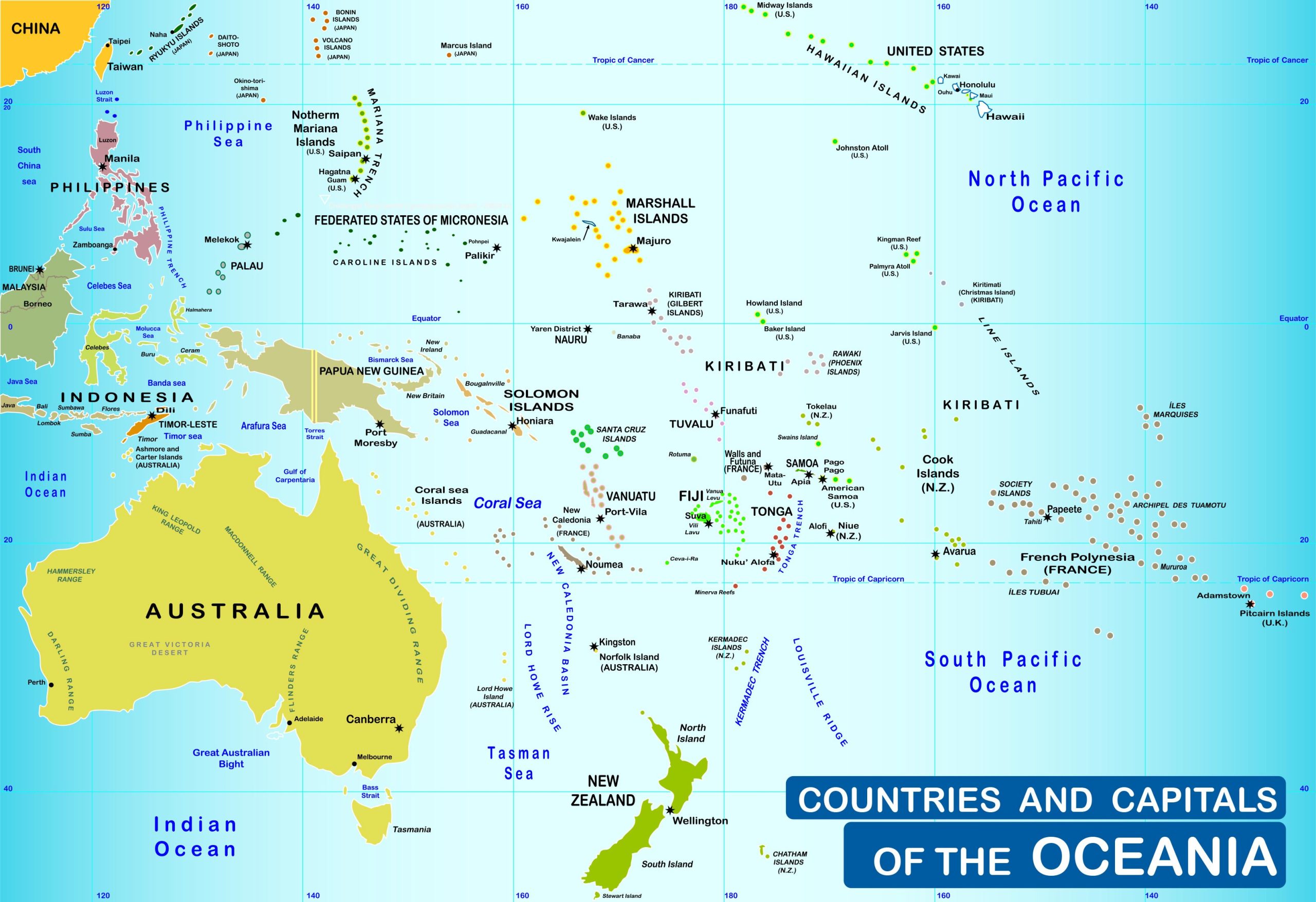
Where is Australia on the Oceania Map?
Show Google map, satellite map, where is the country located.
Get directions by driving, walking, bicycling, public transportation and travel with street view.
Feel free to explore these pages as well:
- Exploring the Hidden Gems of Central Coast, Australia ↗️
- Australia Map ↗️
- Map of Australia ↗️
- Diverse Maps of Australia ↗️
- Map of Oceania ↗️
- Oceania Map ↗️
- About Australia, Infographics, Maps, Photos ↗️
- Exploring Australia’s 10 Largest Cities ↗️ ↗️
- A Collection of Oceania Maps ↗️
- Discovering the Charm of Canberra ↗️
- Adelaide: The Jewel of South Australia ↗️
- Australia has the climate to suit everyone ↗️
- Australia’s Top 10 Destinations ↗️
- Australia For Living & 10 Best Places to Live ↗️
- About Australia, Infographics, Maps, Photos ↗️
- Discovering the Sun-Drenched Splendors of Brisbane ↗️
- Melbourne’s Top 10 Attractions Every Tourist Must Experience ↗️
- American Samoa Map ↗️

