- Advertisement -
Africa Map and A Colection Map of Africa
Africa countries political, physical map with national border, vector map, Africa detaied topography, Africa Earth Satellite image, blank and relief map.
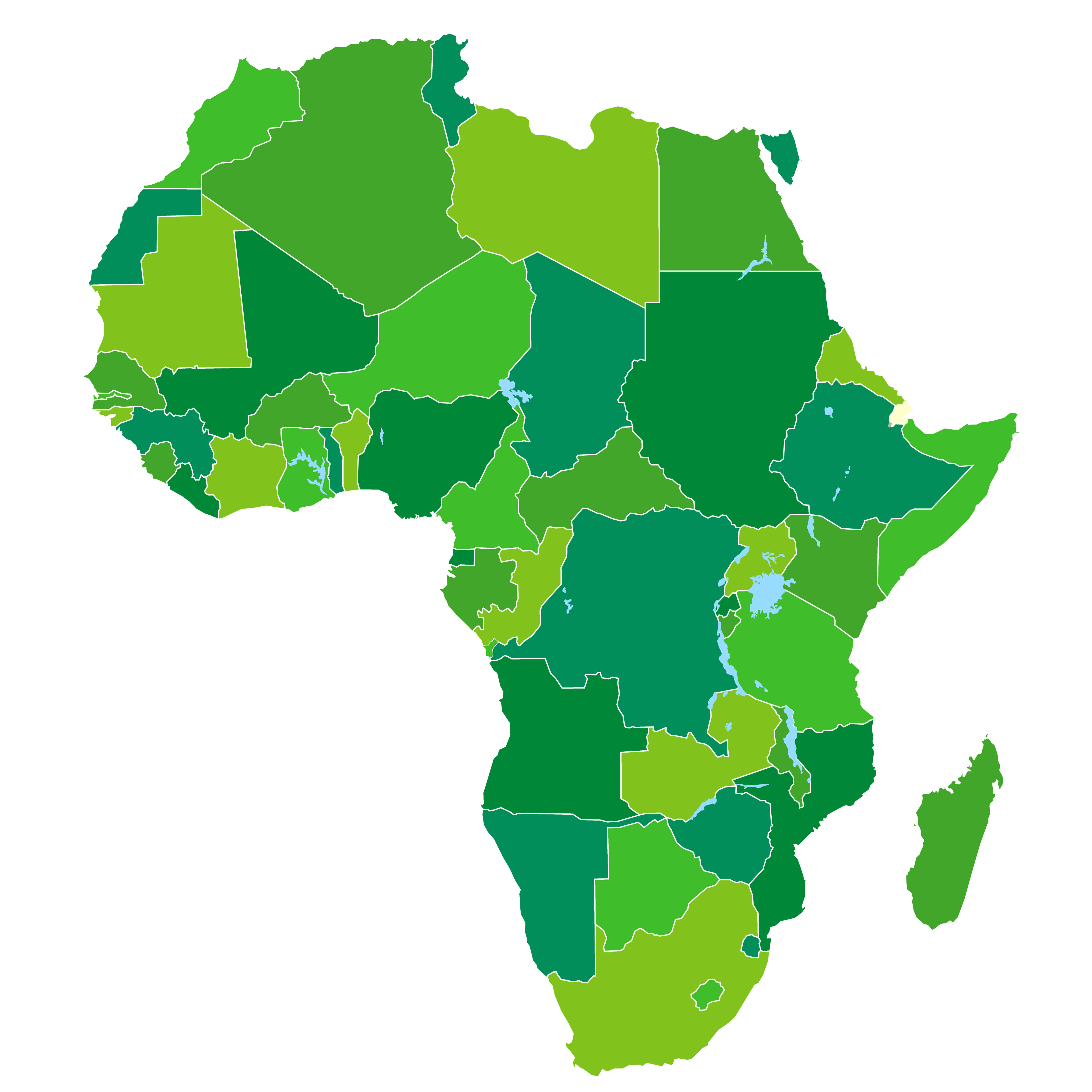
Africa Countries Political Map
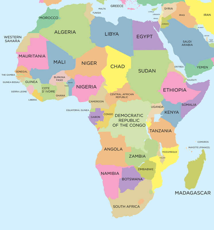 Africa Countries Political Map with national borders.
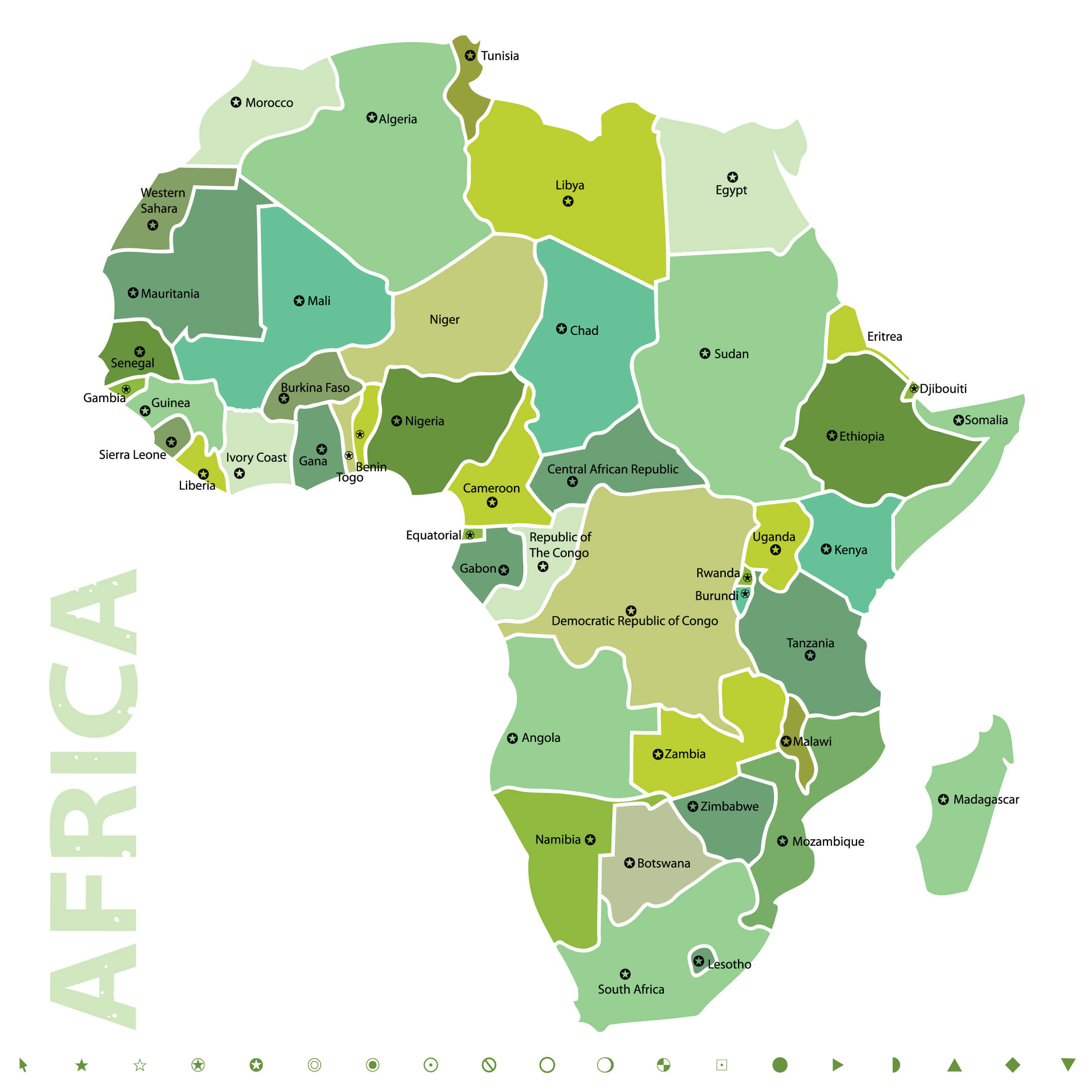
Countries Map of Africa
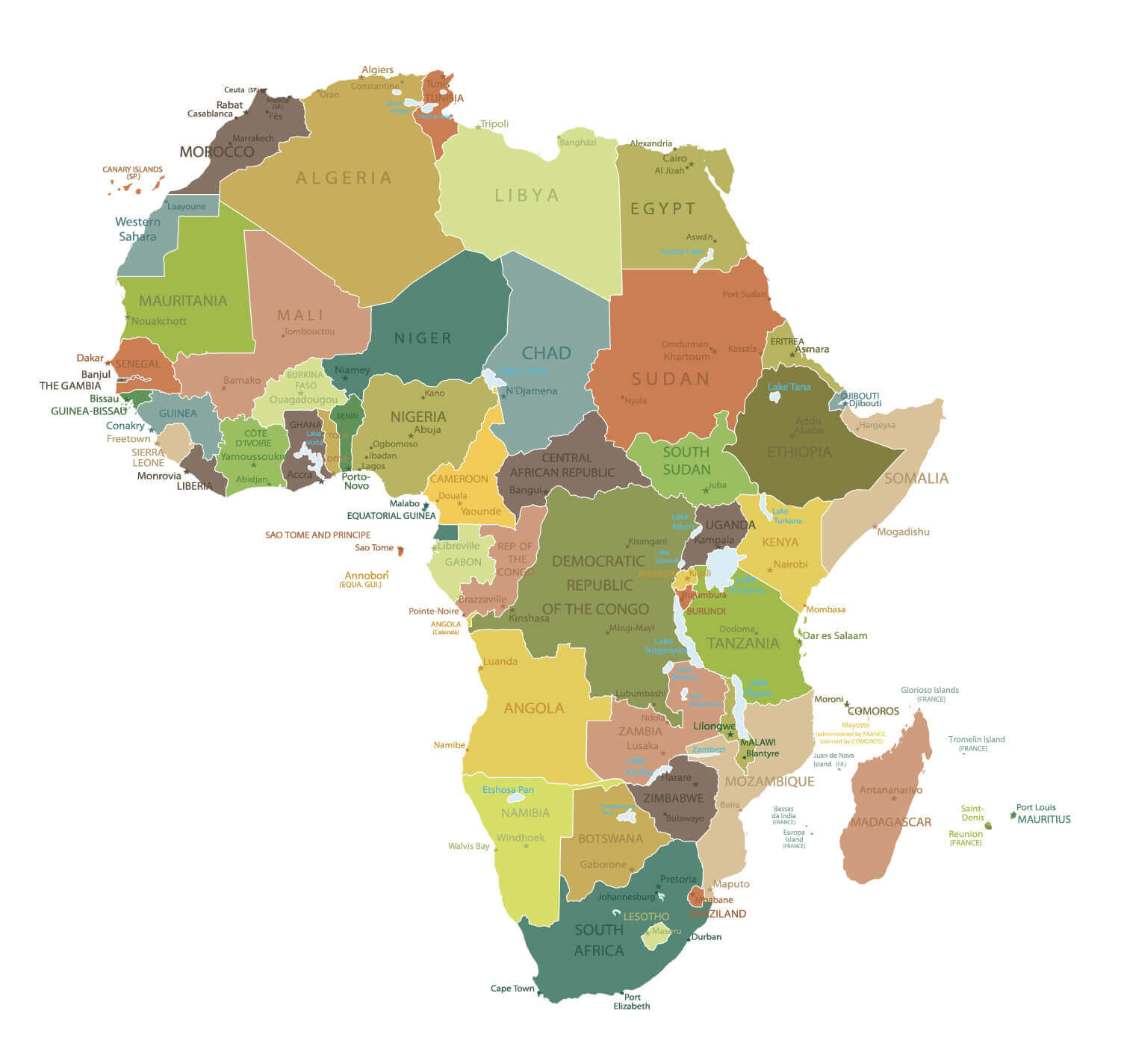
Vector Map of Africa
 Vector Map of Africa with country borders.
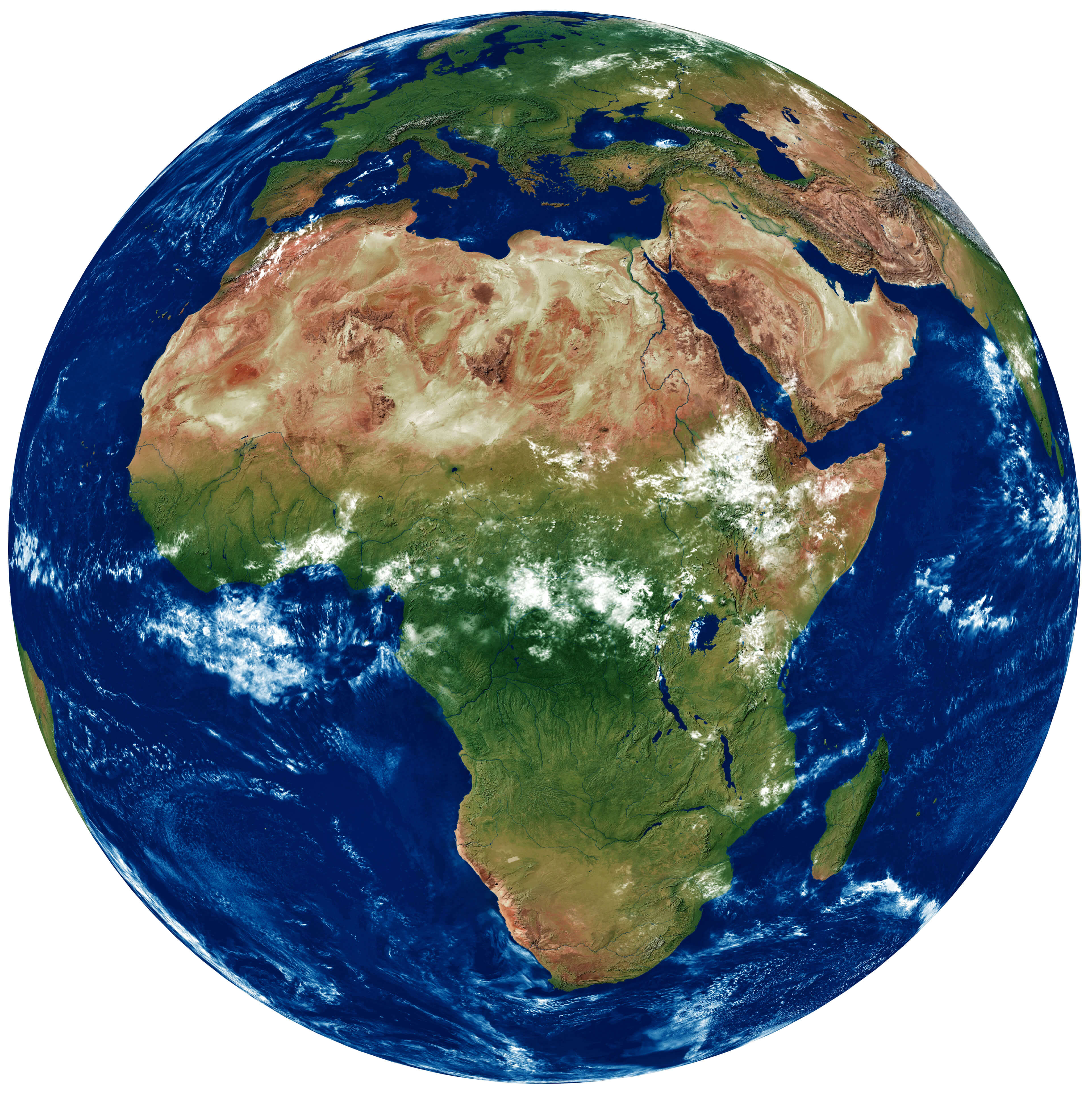
Africa Detailed Topography of Continents
 Earth with translucent water in the oceans and the detailed topography of the continents
Africa and 3d Model of the Earth Satellite Image.
Africa Earth with High Relief Map
 A fragment of the Earth with high relief, detailed surface, translucent ocean and atmosphere, illuminated by sunlight
Africa Earth at Night Satellite Image
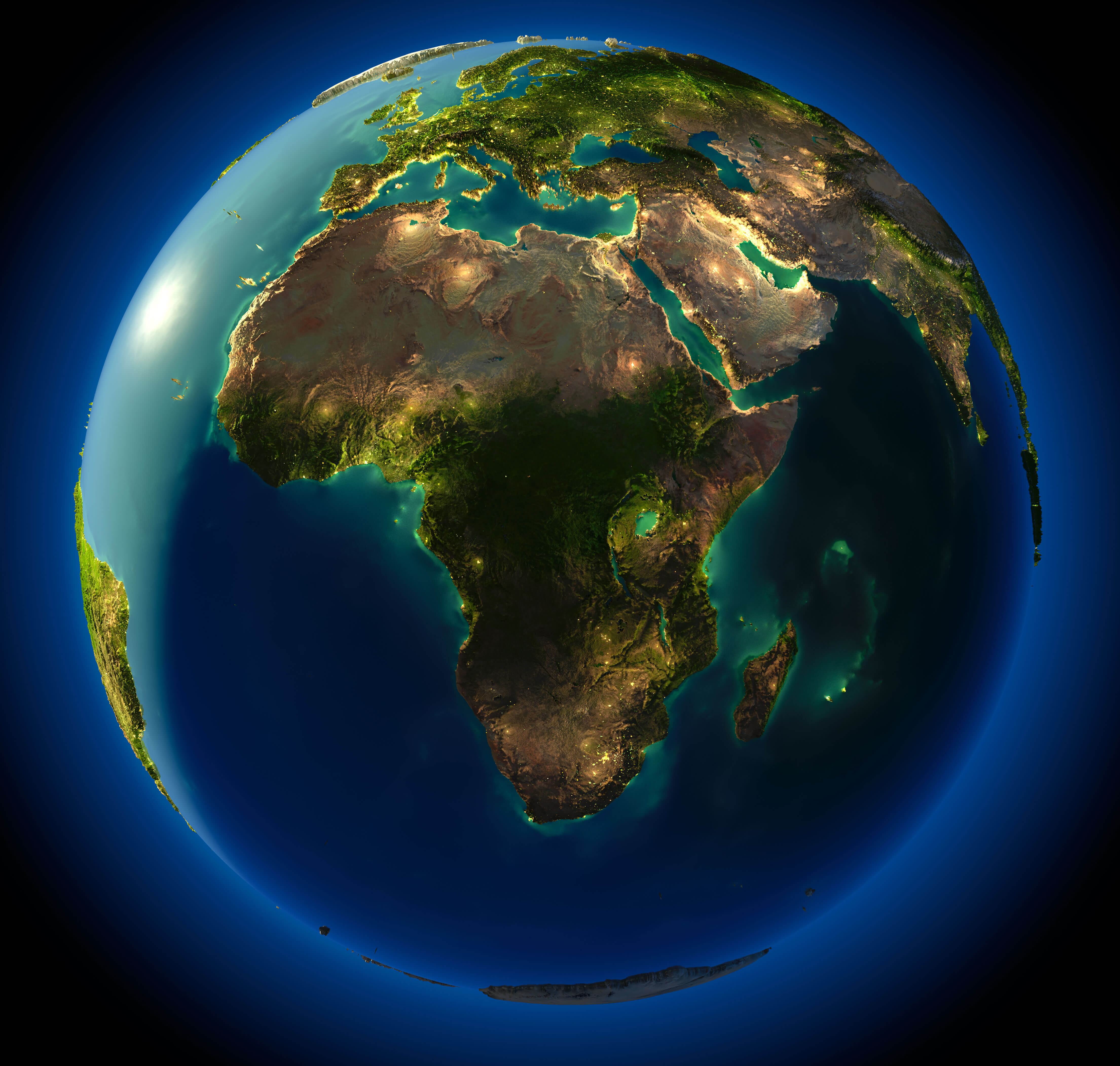 Highly detailed planet Earth at night, with embossed continents, illuminated by light of cities. Earth is surrounded by a luminous network, representing the major air routes based on real data.
Vintage Map of Africa
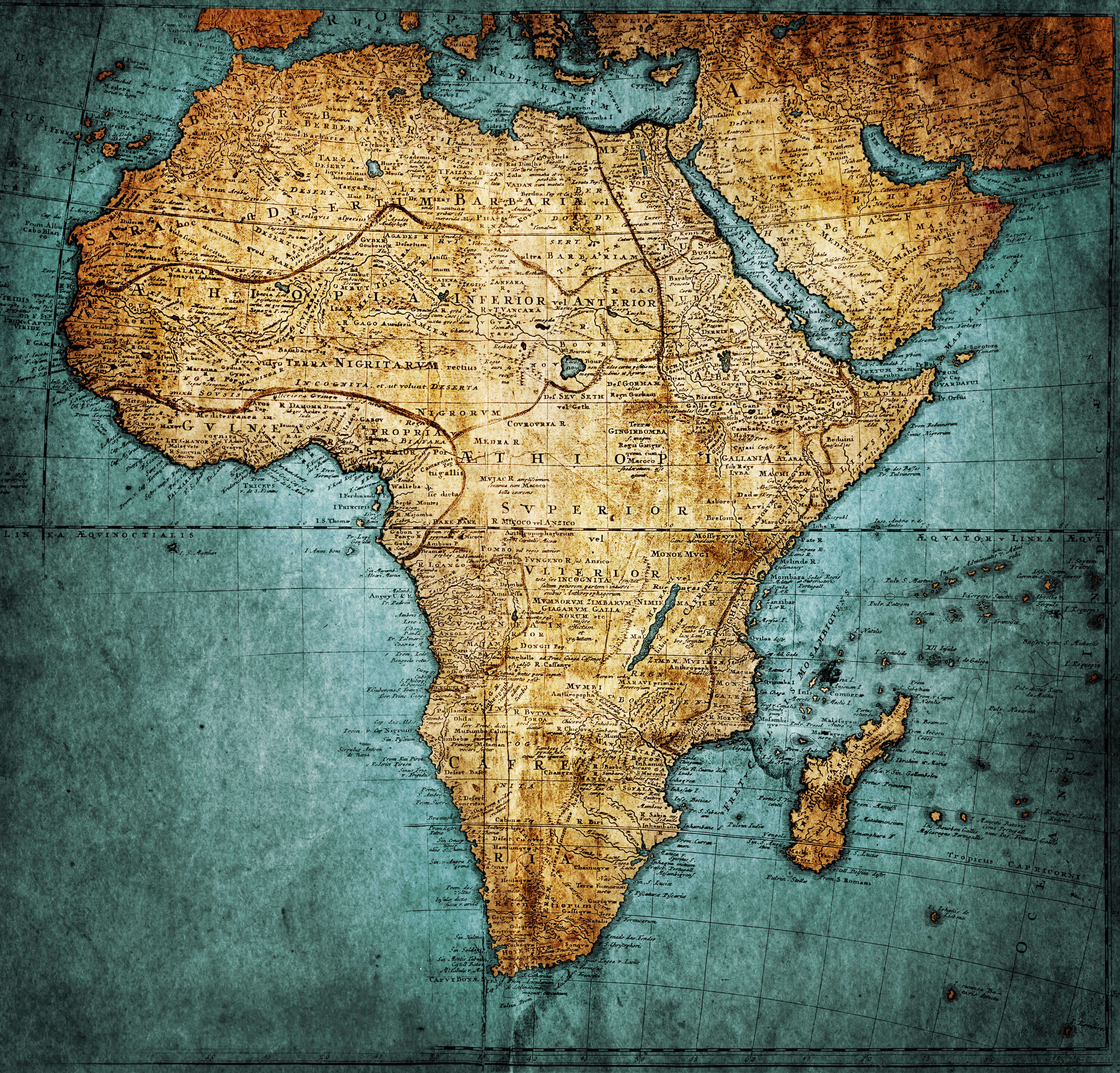 Vintage Map of Africa, publisher: Homannianorum H, 1737 Nuremberg Germany
Africa Blank Map
Feel free to explore these pages as well:
- The Essential Collection of South Africa Maps for Travelers and Geographers ↗️
- About Africa and Maps ↗️
- Visit Africa ↗️
- Africa Map I ↗️
- Africa Map II ↗️
- Africa Map III ↗️
- Africa Map IV ↗️
- Africa Map V ↗️
- Map of Africa ↗️
- A Collection of Algeria Maps: Exploring a North African Gem via Maps ↗️
Where is Africa in the World?
Show Google Maps and satellite maps of where the country is located.
Get directions by driving, walking, bicycling, public transportation and travel with street view.
- Advertisement -