- Advertisement -
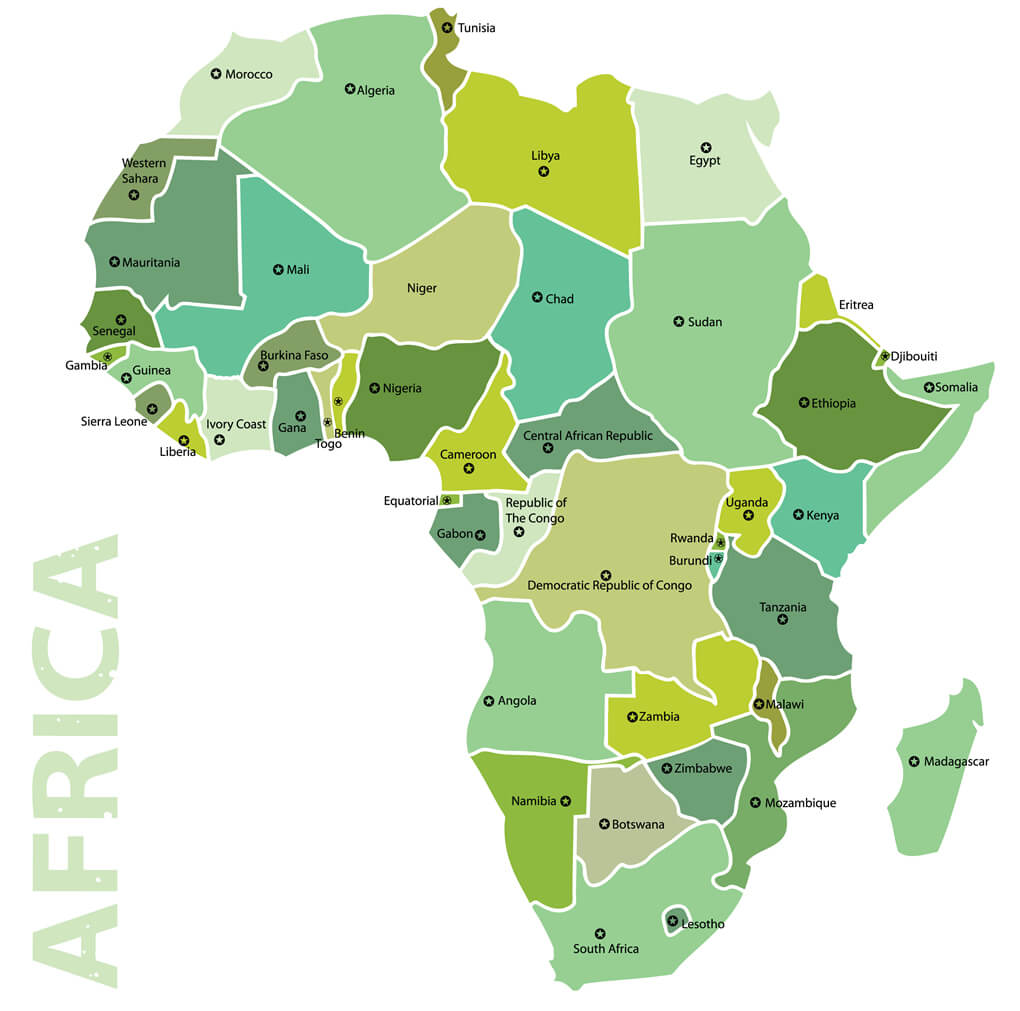
Where is Africa, geography of Africa, enlargeable topographic map of Africa, including political maps, physical map, cities map, satellite images of Africa, location, itinerary, atlas, border map, cities maps and find more travel maps.

Africa vector map

Africa World Air Routes Map

Africa_blank_map

Africa Vector Map with Countries Border

Africa countries political map

Africa detailed topography of continents

Africa earth air routes map

Africa earth high relief map

Africa earth map

Africa earth night map

Africa earth satellite map

Africa physical map of world

Africa political world infographic map

Africa vector map

Africa map

Africa map

Africa maps

African continent countries political map

African countries international borders map

Africa physical map

Afro eurasia map

Algeria Map and Africa

Central Africa Satellite View with Countries

Colonial map of africa 1913

Colored world map africa

Coloured Political Map of Africa

Feel free to explore these pages as well:
- Africa Map ↗️
- About Africa and Maps ↗️
- Visit Africa ↗️
- Africa Map I ↗️
- Africa Map II ↗️
- Africa Map III ↗️
- Africa Map IV ↗️
- Africa Map V ↗️
- Map of Africa ↗️
- A Collection of Algeria Maps: Exploring a North African Gem via Maps ↗️
Where is Africa on the World Map?
Show Google map, satellite map, where is the country located.
Get directions by driving, walking, bicycling, public transportation and travel with street view.
- Advertisement -
