- Advertisement -
A Collection of Texas Photos
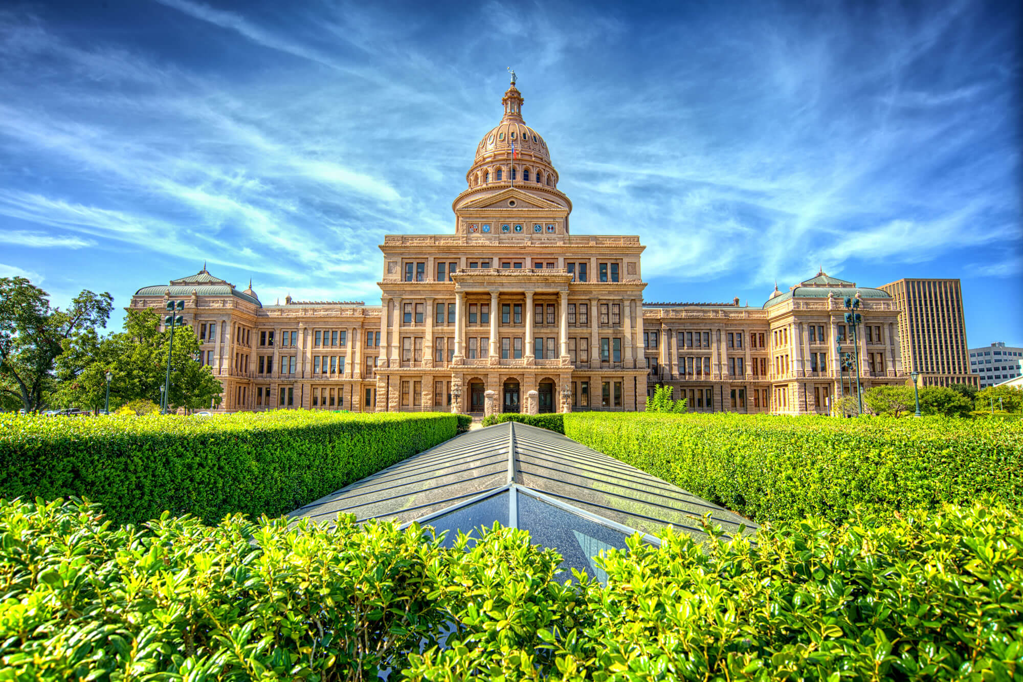
Texas State Capitol Building, Austin
 Texas State Capitol Building in Austin, TX.
Texas State Capitol building

The Top of the Texas State Capitol building taken with a Aerial Drone showing the top of the Texas Hill Country highest Capitol building in America.
Aerial view downtown Houston

Aerial view downtown Houston illuminated at blue hour with green city park and modern skylines light. The most populous city in Texas, fourth-most in US. Architecture and travel background.
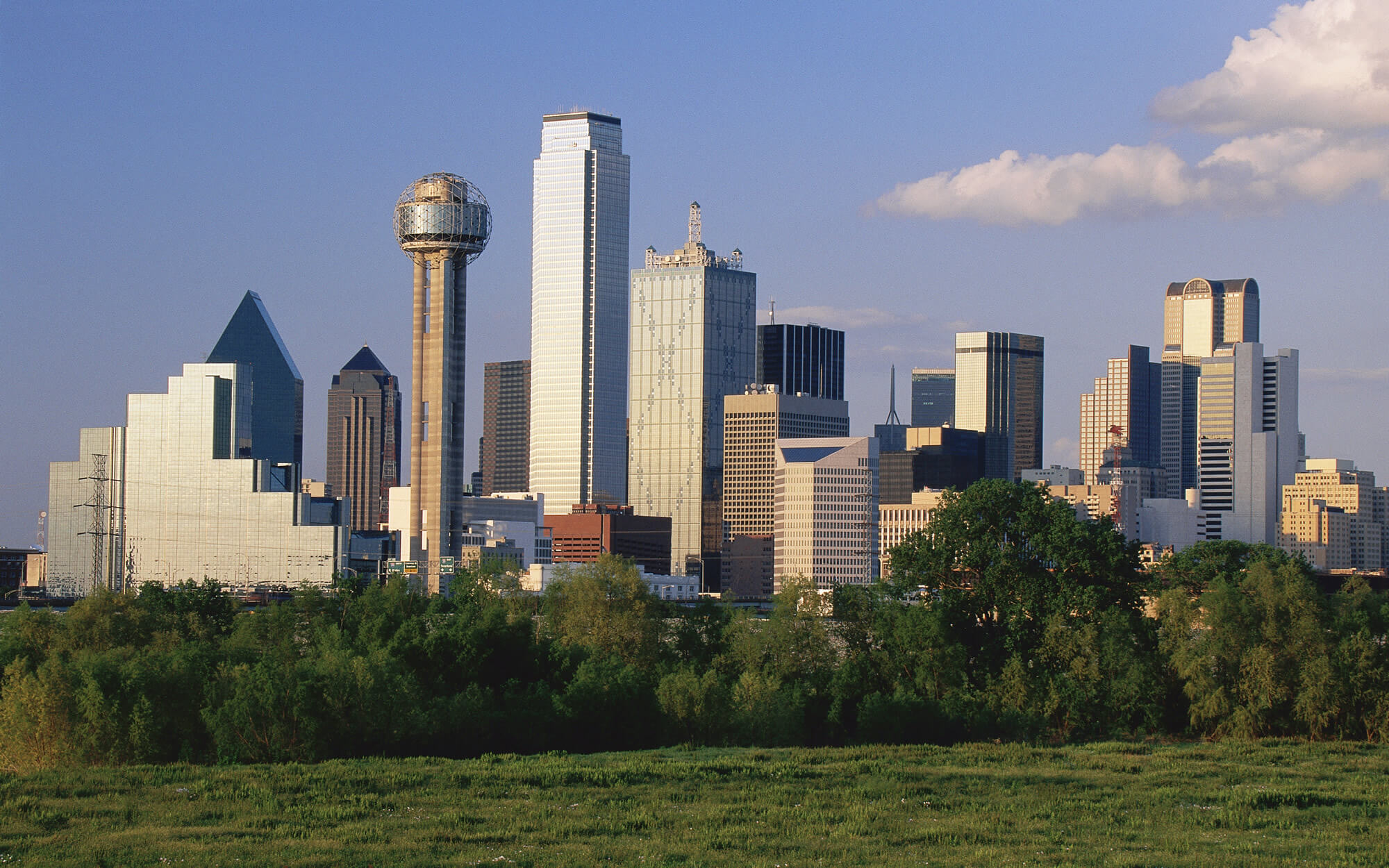
Scenic Dallas skyline

Scenic Dallas skyline, Texas, USA.
Capitol Building Austin

Texas State Capitol Building Austin, Texas, US.
Dallas, Texas cityscape

Dallas, Texas cityscape with blue sky at sunset, Texas.
Where is Texas on the US Map?
Show Google map, satellite map, where is the country located.
Get directions by driving, walking, bicycling, public transportation and travel with street view.
Feel free to explore these pages as well:
- Map of United States ↗️
- Map of Texas ↗️
- Texas Map ↗️
- Texas Photos ↗️
- North America Earth Map ↗️
- Map of North America ↗️
- Discovering Austin: The Heartbeat of Texas ↗️
- Arlington, Texas: A Hidden Gem in the Lone Star State ↗️
- A Guide to the Houston’s Top 10 Best Attractions ↗️
- Advertisement -
