Explore an extensive collection of Saudi Arabia maps that cover various aspects, from physical and political maps to administrative and relief maps. You’ll find satellite images, highly detailed maps, and blank maps for study. Dive into the rich geography, topography, and regions of Saudi Arabia with maps that highlight cities, roads, and routes.
Relief Map of Saudi Arabia
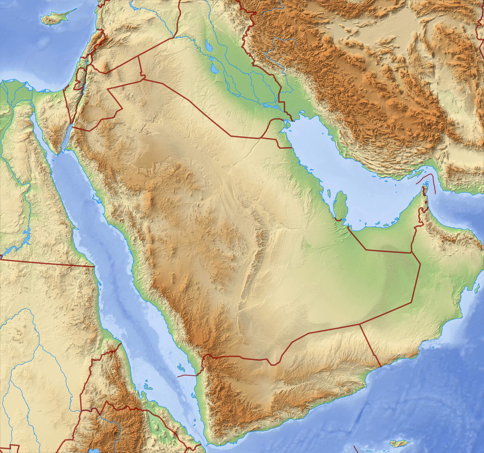 Relief Map of Saudi Arabia – 3D-Rendering.
A Collection of Saudi Arabia Maps
Saudi Arabia Middle East Map
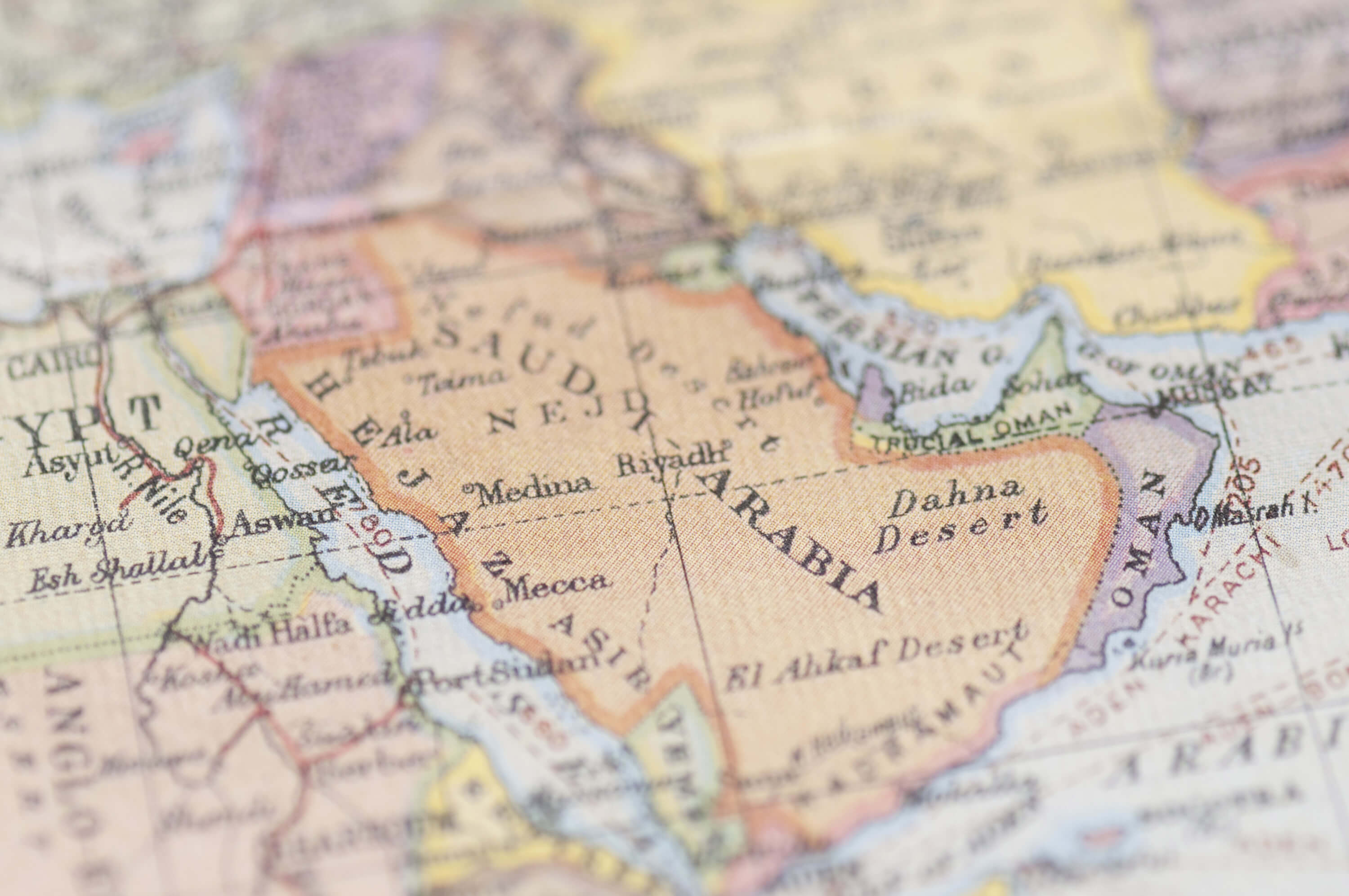
Saudi Arabia Middle East Map of the World.
Saudi Arabia Political Map with Provinces
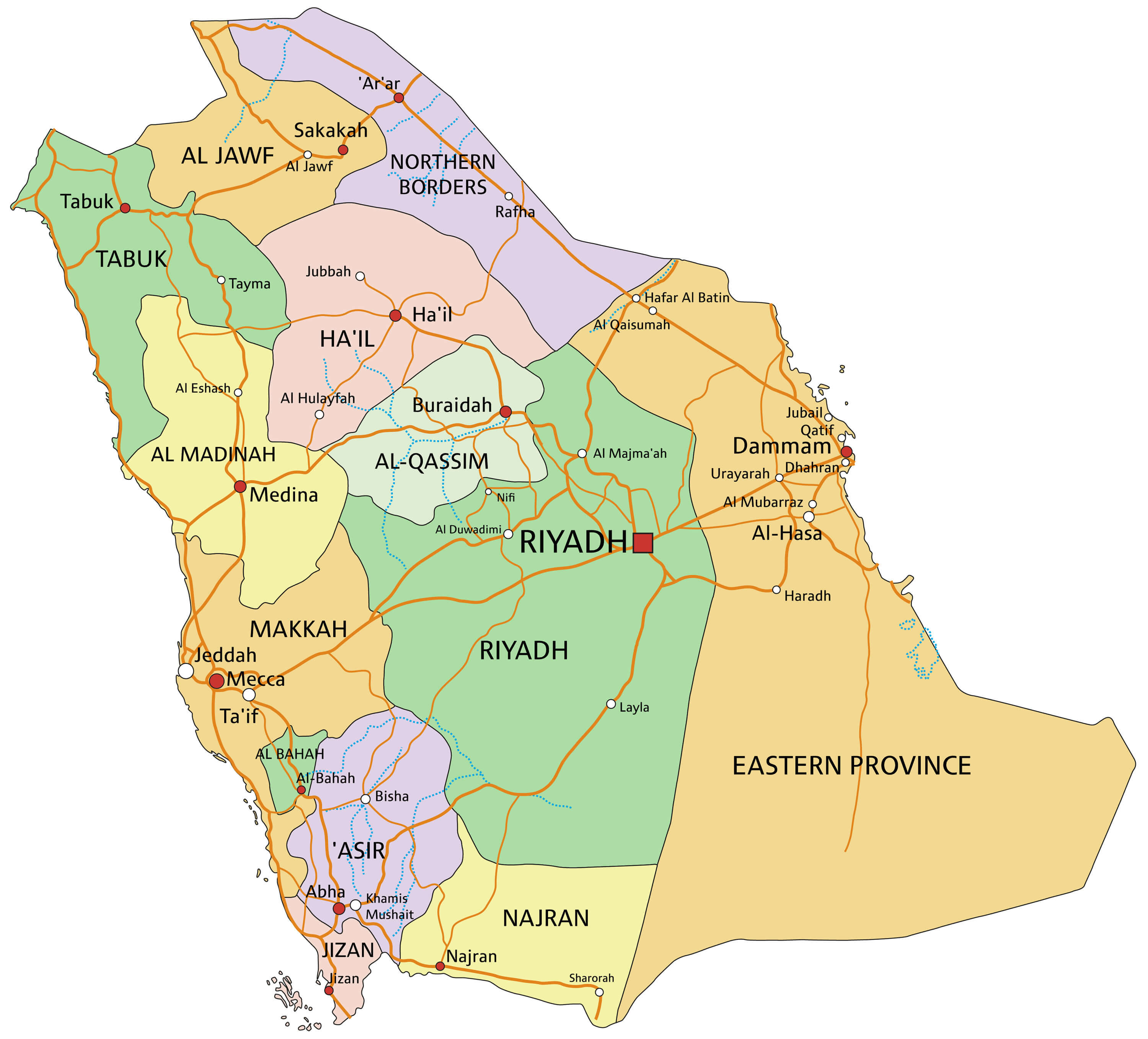
Saudi Arabia – A highly detailed editable political map with provinces.
Saudi Arabia Territories Map
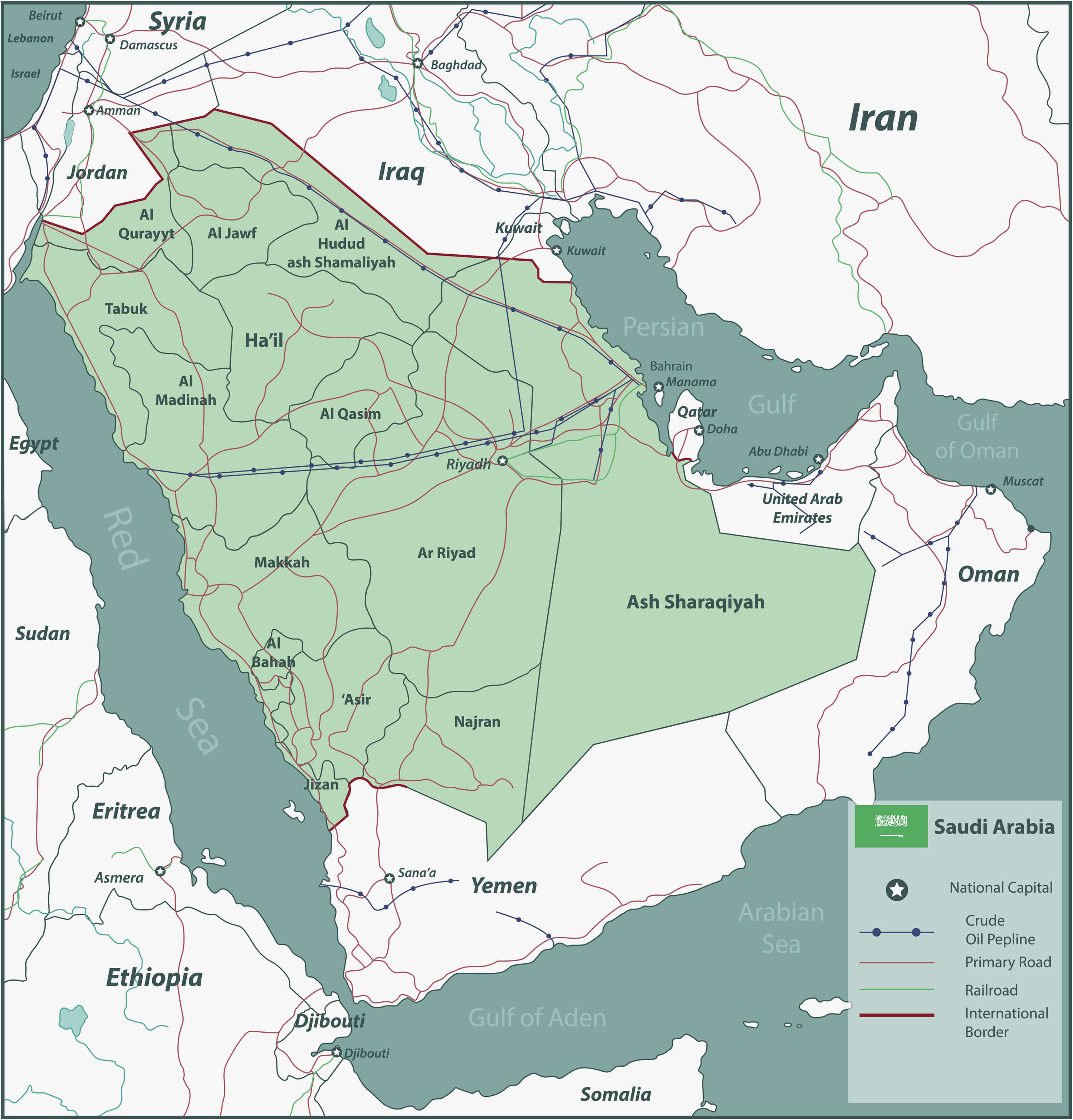
Saudi Arabia map with selectable territories. Vector illustration
Saudi Arabia Earth Map
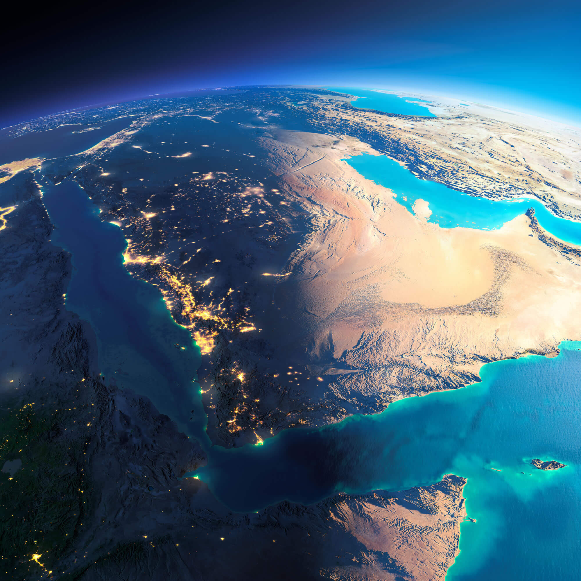
Highly detailed planet Earth. Night with glowing city lights gives way to day. The boundary of the night & day. Saudi Arabia.
Saudi Arabia Map
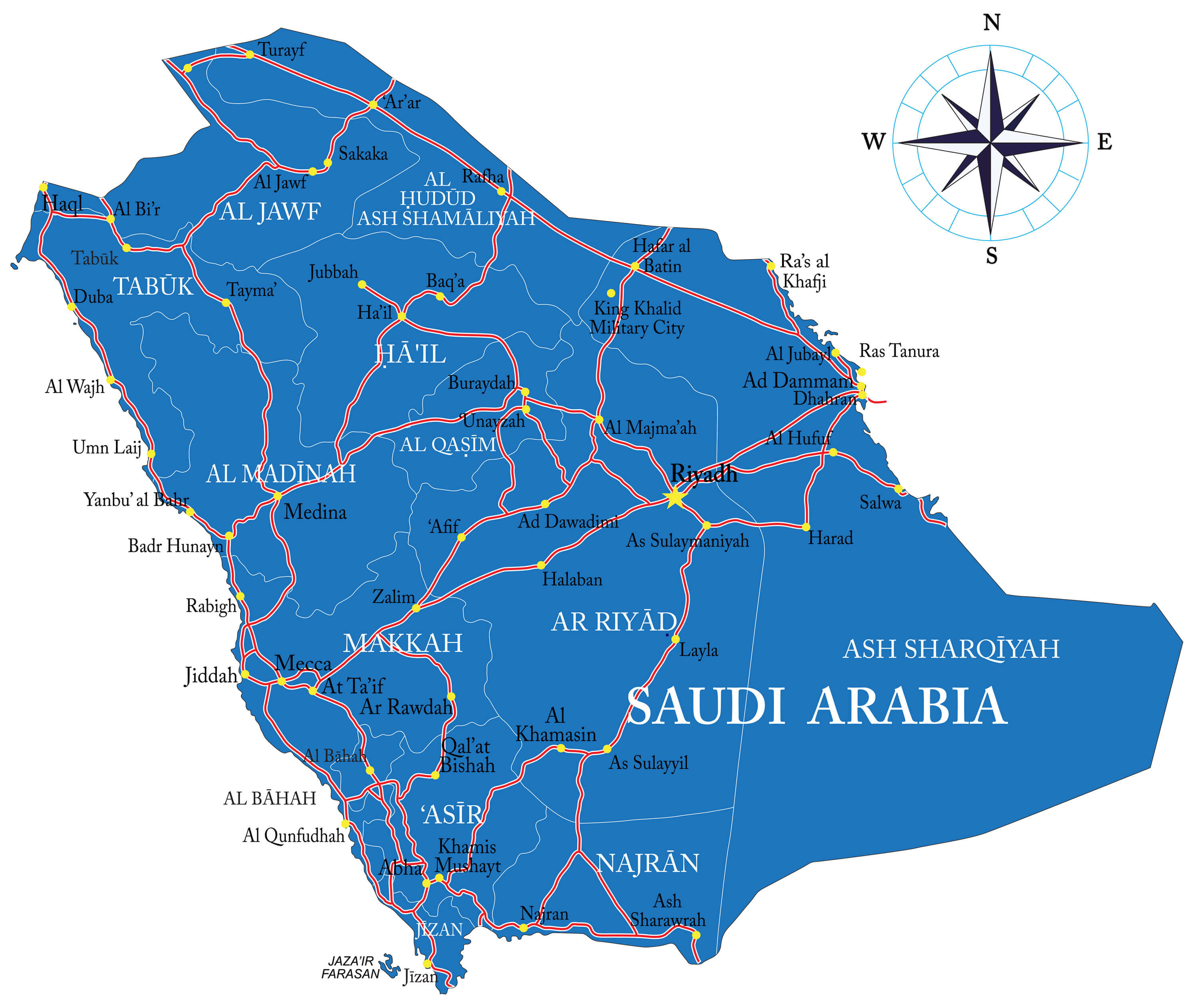
Saudi Arabia Map with main cities.
Where is Saudi Arabia on the Asia Map?
Show Google map, satellite map, where is the country located.
Get directions by driving, walking, bicycling, public transportation and travel with street view.
Feel free to explore these pages as well:
- Saudi Arabia Map ↗️
- Jordan Map ↗️
- Where is Located Qatar in the World? ↗️
- Iran Map ↗️
- Kuwait Map ↗️
- United Arab Emirates Map ↗️
- Oman Map ↗️
- Türkiye Map ↗️
- Israel Map ↗️
- Asia Map ↗️
