A collection of Wisconsin Maps; View a variety of Wisconsin physical, united states political map, administrative, relief map, Wisconsin satellite image, higly detalied maps, blank map, Wisconsin USA and earth map, Wisconsin’s regions, topography, cities, road, United States of America direction maps and US atlas.
Color Map of Wisconsin State

Vector color map of Wisconsin state, USA.
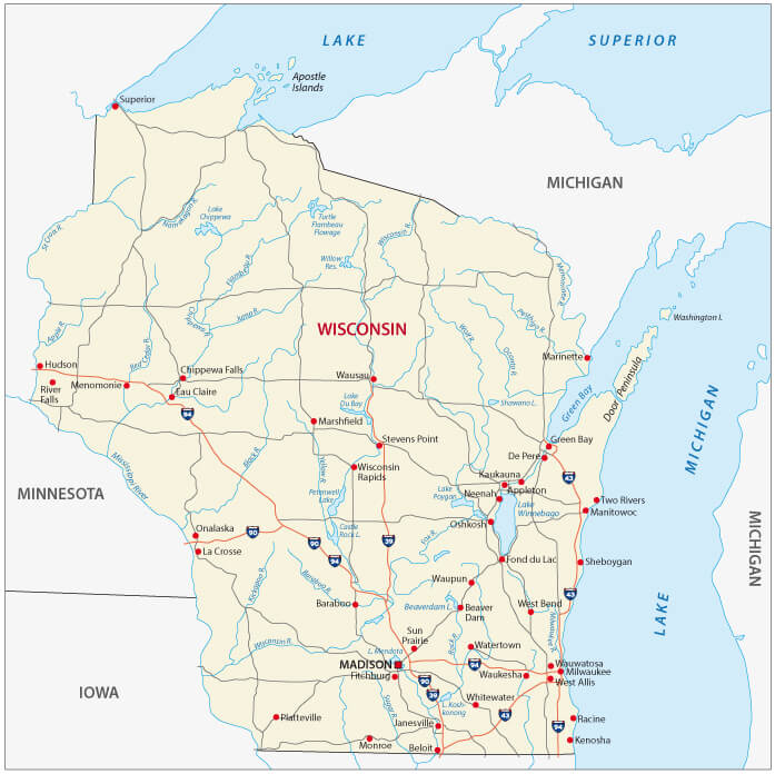
Wisconsin State Road Map

Wisconsin state road map with Interstates, U.S. Highways and state roads.
Wisconsin State Map
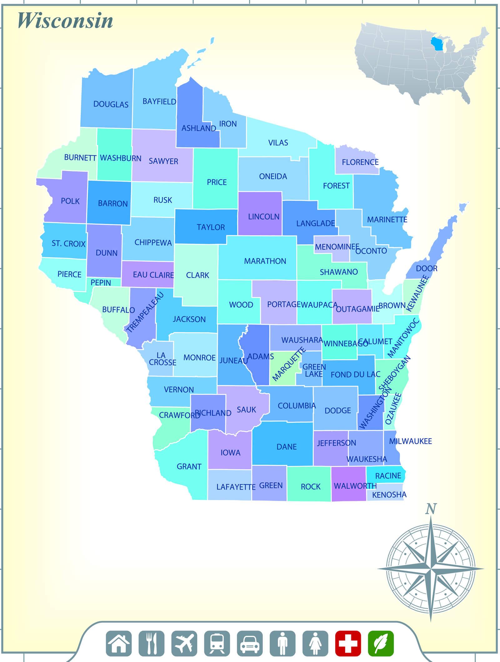
Wisconsin State Map with Community Assistance and Activates.
Wisconsin State Cities Map
Wisconsin State Map with main cities, US.
Map of Wisconsin, 1900
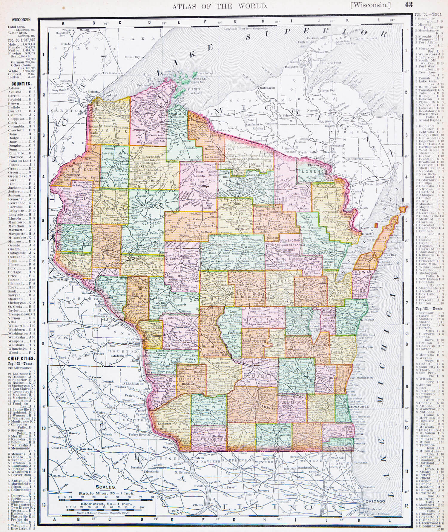
A map of Wisconsin, USA from Spofford’s Atlas of the World, printed in the United States in 1900.
Wisconsin Detailed Earth Map
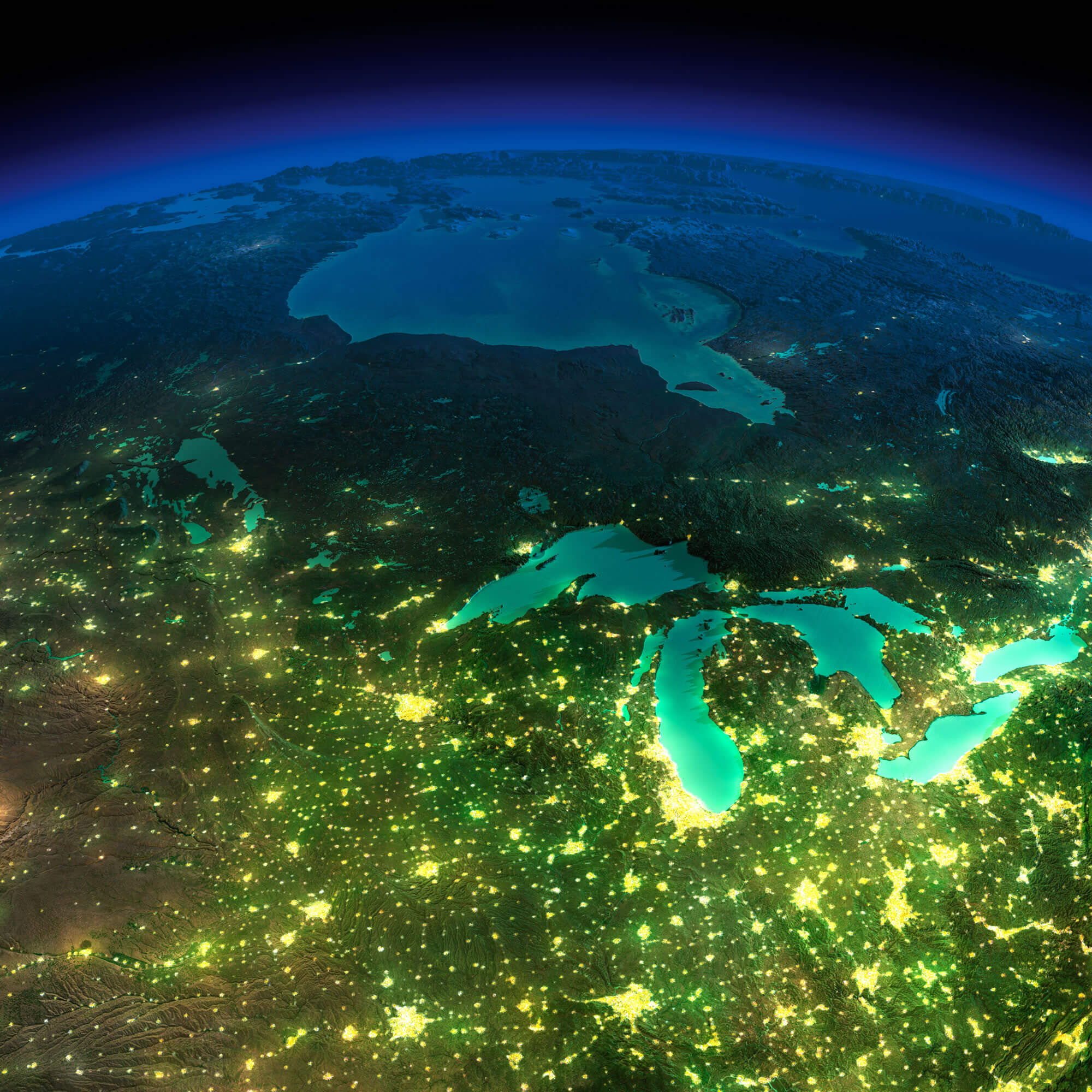
Highly detailed Earth, illuminated by moonlight. The glow of cities sheds light on the detailed exaggerated terrain. Northern U.S. states and Canada. Elements of this image furnished by NASA.
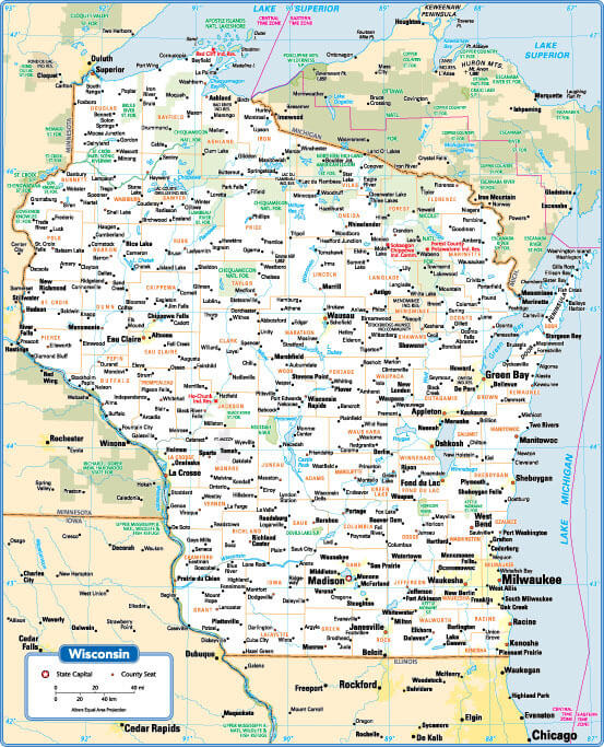
Wisconsin Road Map
Wisconsin Road Map with main cities and state interstates, USA.
Where is Located Wisconsin on the US Map?
Show Google interactive map, satellite map, where is the country located.
Get directions by driving, walking, bicycling, public transportation, and traveling with street view.
Feel free to explore these pages as well:
- 2024 US Presidential Election Swing States by Maps ↗️
- Michigan on the Edge: 2024 US Election Predictions and the 2020 Turnaround ↗️
- The US presidential election in Georgia: Predictions for 2024 and a look back at the swing in 2020 ↗️
- Arizona’s US Presidential Election: 2024 Predictions and a Look Back at the 2020 Swing ↗️
- Pennsylvania Map ↗️
- Georgia Map ↗️
- Michigan Map ↗️
- North Carolina Map ↗️
- Arizona Map ↗️
- Wisconsin Map ↗️
- Nevada Map ↗️
- United States Map ↗️
- North America Map ↗️