- Advertisement -
A collection of Kuwait Maps; View a variety of Kuwait physical, political, administrative, relief map, Kuwait satellite image, higly detalied maps, blank map, Kuwait world and earth map, Kuwait’s regions, topography, cities, road, direction maps and atlas.
A Collection of Kuwait Maps
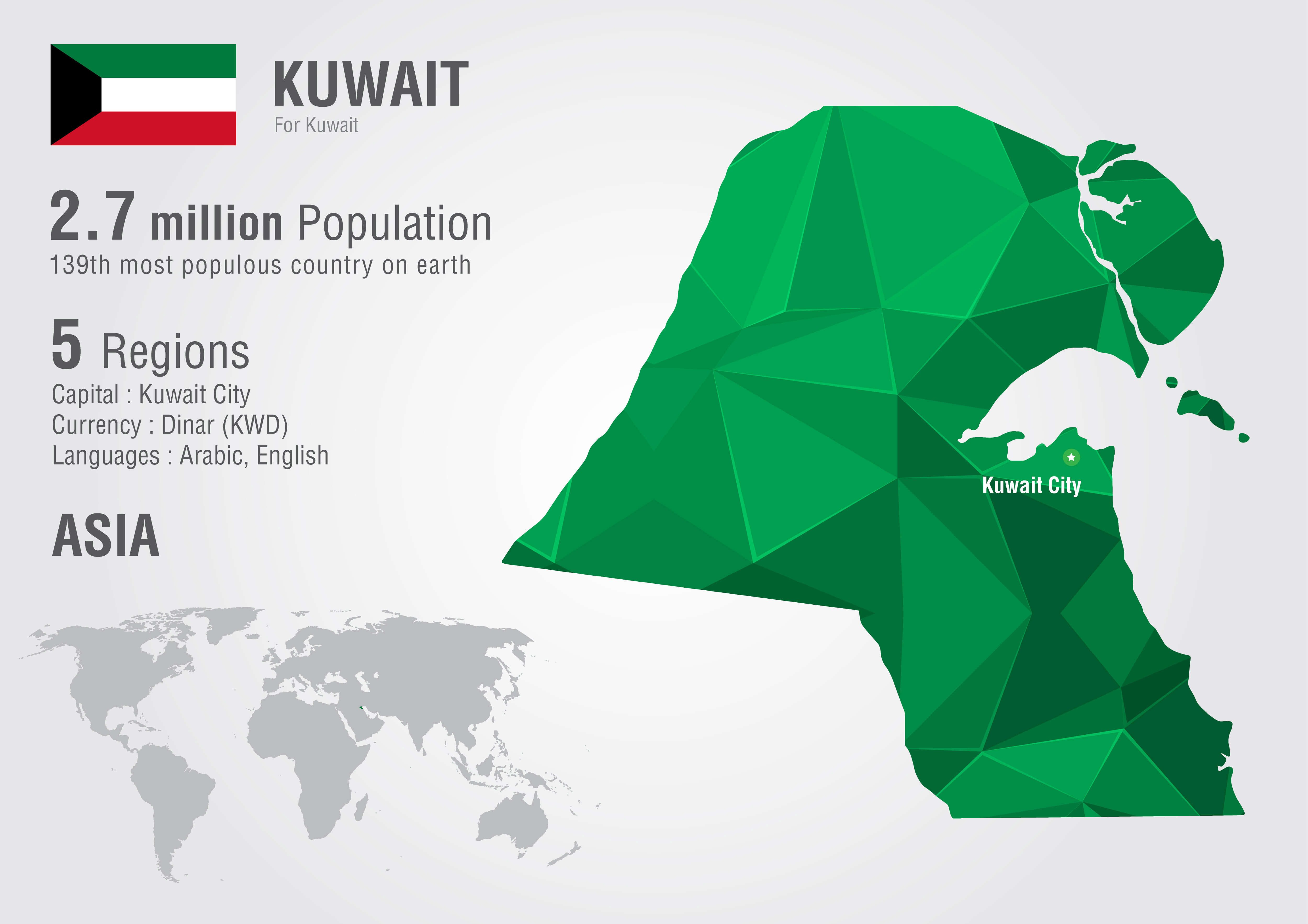
Kuwait Statistics Map
Kuwait Map
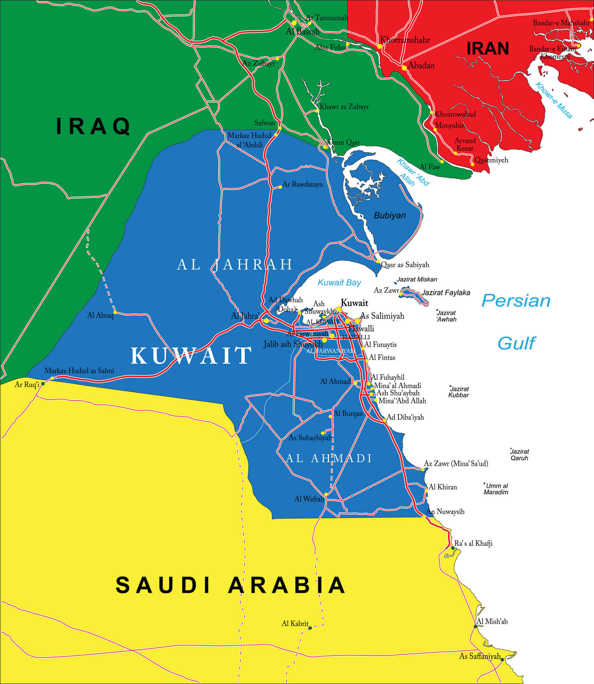
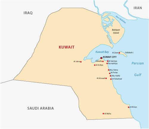
Kuwait map with main cities and Iran, Iraq, Saudi Arabia, Persian Gulf national border.
Kuwait Political Map
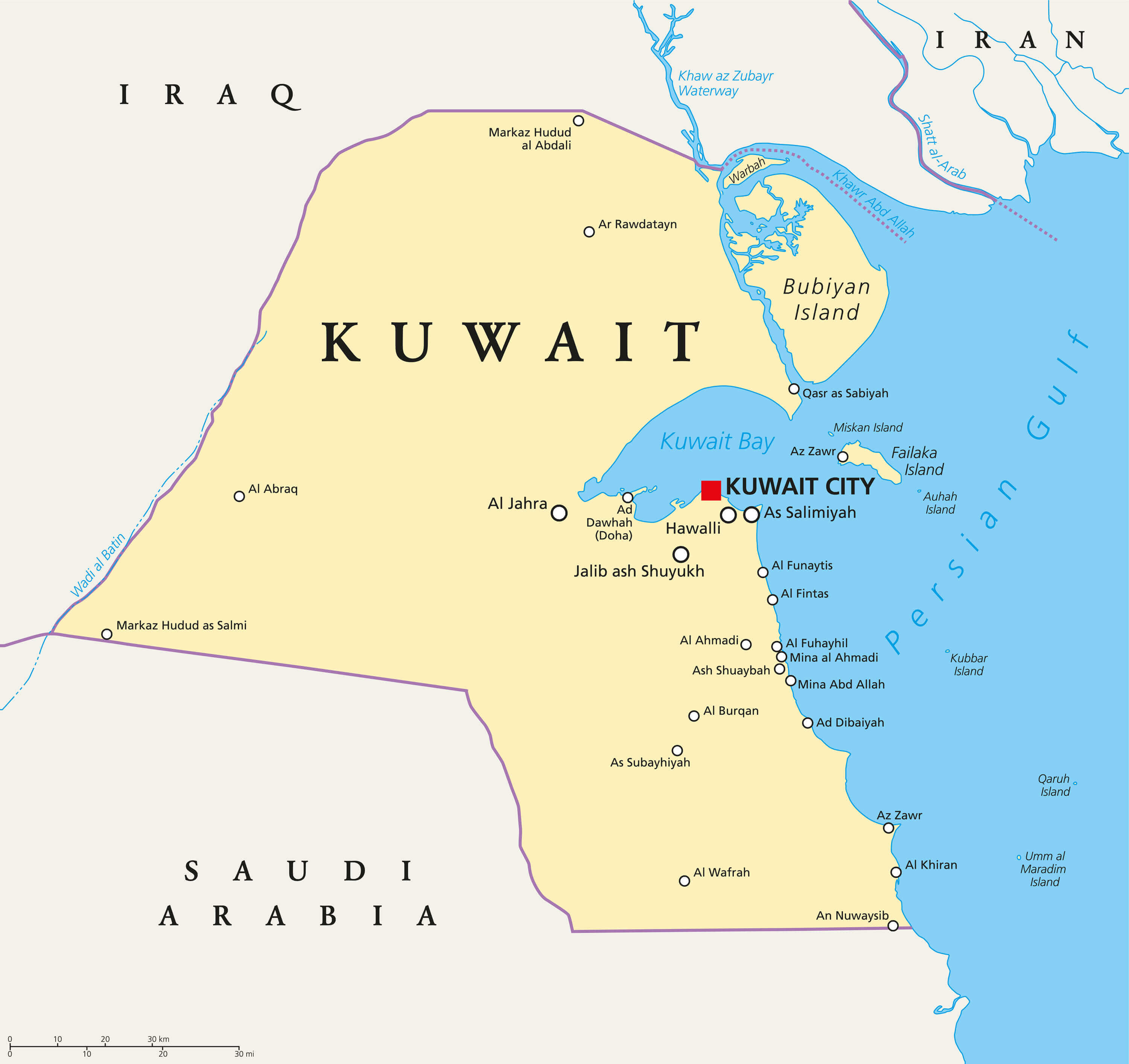
Kuwait political map with capital Kuwait City, national borders, important cities and rivers. English labeling and scaling.
Kuwait Road Map
Detailed vector road map of the state Kuwait.
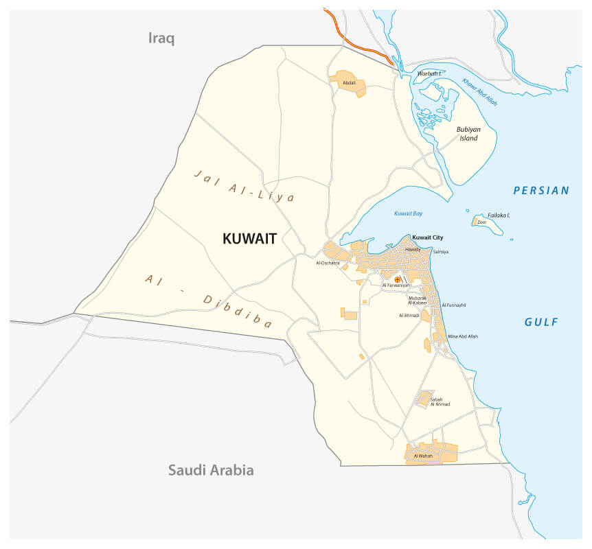
Kuwait Country Map
Kuwait Country map with major cities.
Where is Kuwait on the Asia Map?
Show Google interactive map, satellite map, where is the country located.
Get directions by driving, walking, bicycling, public transportation and travel with street view.
Feel free to explore these pages as well:
- About Kuwait ↗️
- Kuwait Map ↗️
- Kuwait Photos ↗️
- Iran: The Rise and Fall of Empires ↗️
- A Collection of Lebanon Maps ↗️
- Iraq Map ↗️
- Syria Map ↗️
- Jordan Map ↗️
- Israel Map ↗️
- Oman Map ↗️
- Saudi Arabia Map ↗️
- Kazakhstan Map ↗️
- Where is Located Qatar in the World? ↗️
- United States Map ↗️
- United Kingdom Map ↗️
- Türkiye Map ↗️
- Georgia Map ↗️
- Tel Aviv’s 10 Best Attractions ↗️
- Europe Map ↗️
- Asia Map ↗️
- Advertisement -