Benguela Map

HomeMapsAfricaBenguela Map
- Advertisement -

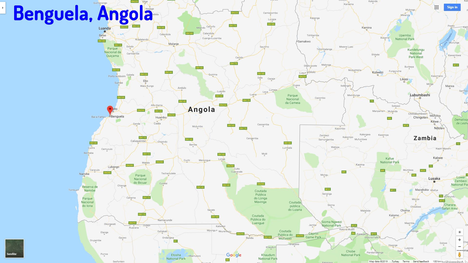
Where is Benguela, geography of Benguela, enlargeable topographic map of Benguela, including political maps, physical map, cities map, satellite images of Benguela, location, itinerary, atlas, border map, Angola cities maps and find more travel maps.
Benguela Map Angola

For more Angola Maps

Benguela Angola

Benguela Angola

Benguela Map Angola

Benguela map Angola

Benguela Map

Benguela Map

Cities Map of Angola

- Advertisement -
Previous article
Next article

Discover

Sponsor

Latest Posts

Copenhagen’s 10 Best Unique Attractions for First-Time Visitors

Copenhagen Uncovered: The Top 10 Experiences for Intrepid Travelers With its cobblestone streets, picturesque canals, historic landmarks, and lively culture, Copenhagen has an endless array...

Pasadena Map in Los Angeles

Pasadena, located 11 miles (18 km) northeast of downtown Los Angeles, is a city in Los Angeles County, California. As the largest city in...

San Francisco Map: Where is Located and Directions in California

San Francisco, in northern California, is a major coastal city on the Pacific Ocean and San Francisco Bay. Situated on a hilly peninsula, it...

United Arab Emirates Map

A collection of United Arab Emirates Maps; View a variety of United Arab Emirates physical, political, administrative, relief map, United Arab Emirates satellite image,...

Isle of Man Map

The Essential Collection of Isle of Man Maps for Travelers and Geographers: Discover the Isle of Man with our detailed map showcasing its towns,...