- Advertisement -
A Collection of Pennsylvania Photos
Harrisburg Skylines, Pennsylvania

Harrisburg, Pennsylvania, USA skylines on the Susquehanna River.
Downtown of Philadelphia, Pennsylvania

Philadelphia, Pennsylvania, USA downtown city skyline.
Benjamin Franklin Parkway, Philadelphia
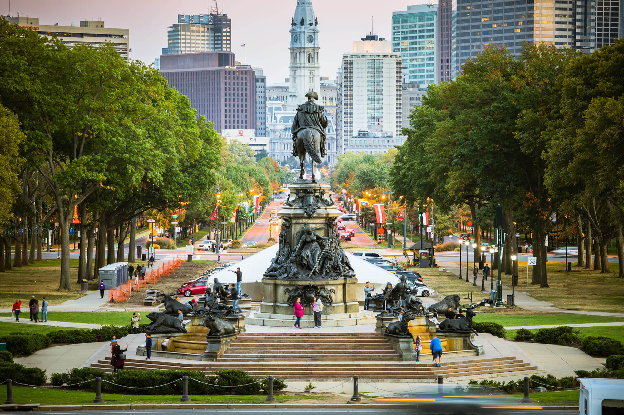
Philadelphia, Pennsylvania, USA – 16 October, 2016: Eakins Oval is a traffic circle. It forms the northwest end of the Benjamin Franklin Parkway just in front of the Museum of Art.
Main Street in Shrewsbury, Pennsylvania
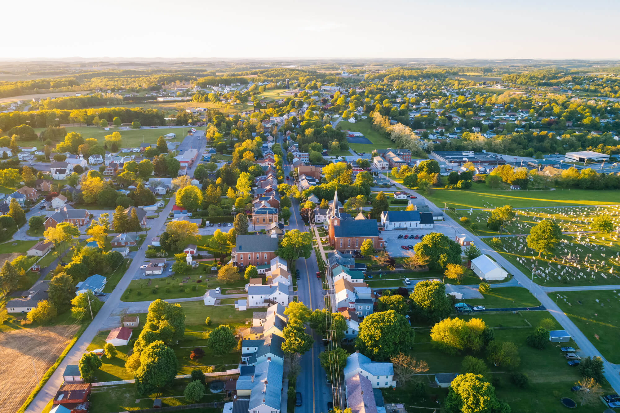
View of Main Street in Shrewsbury, Pennsylvania.
Harrison Wright Falls, Pennsylvania
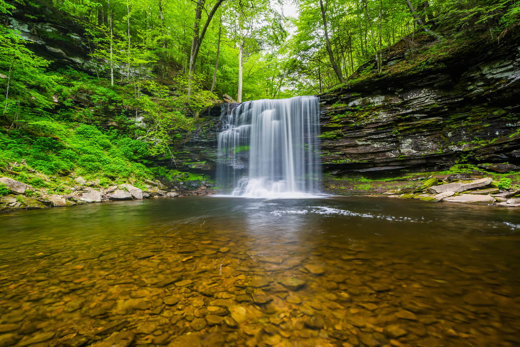
Harrison Wright Falls, at Ricketts Glen State Park, Pennsylvania.
Independence Hall in Philadelphia
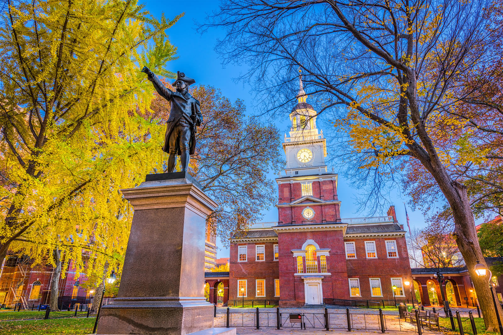
Independence Hall in Philadelphia, Pennsylvania, USA.
Downtown City Skyline Allegeny River
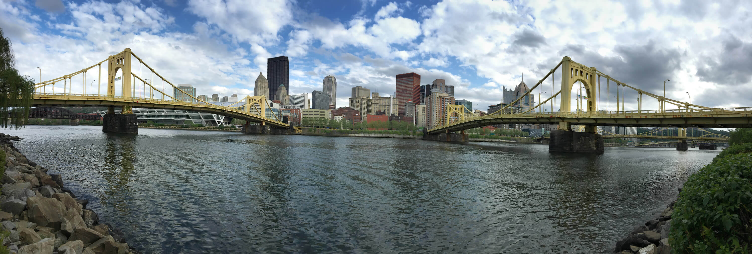
Pittsburgh Pennsylvania Downtown City Skyline Allegeny River
Where is Pennsylvania in the US?
Show Google map, satellite map, where is the country located.
Get direction by driving, walking, bicycling, public transportaion and travel with street view.
[gmap-embed id=”1734″]
Pennsylvania Maps and Photos
- Please Click for more Pennsylvania Map
- Please Click for more Info About Map of Pennsylvania
- Please Click for more About Pennsylvania
- Please Click for more Pennsylvania Photos
- Advertisement -
