- Advertisement -
A collection of Oregon Maps; View a variety of Oregon physical, political, administrative, relief map, Oregon satellite image, higly detalied maps, blank map, Oregon USA and earth map, Oregon’s regions, topography, cities, road, direction maps and atlas.
Oregon Shaded Relief Map
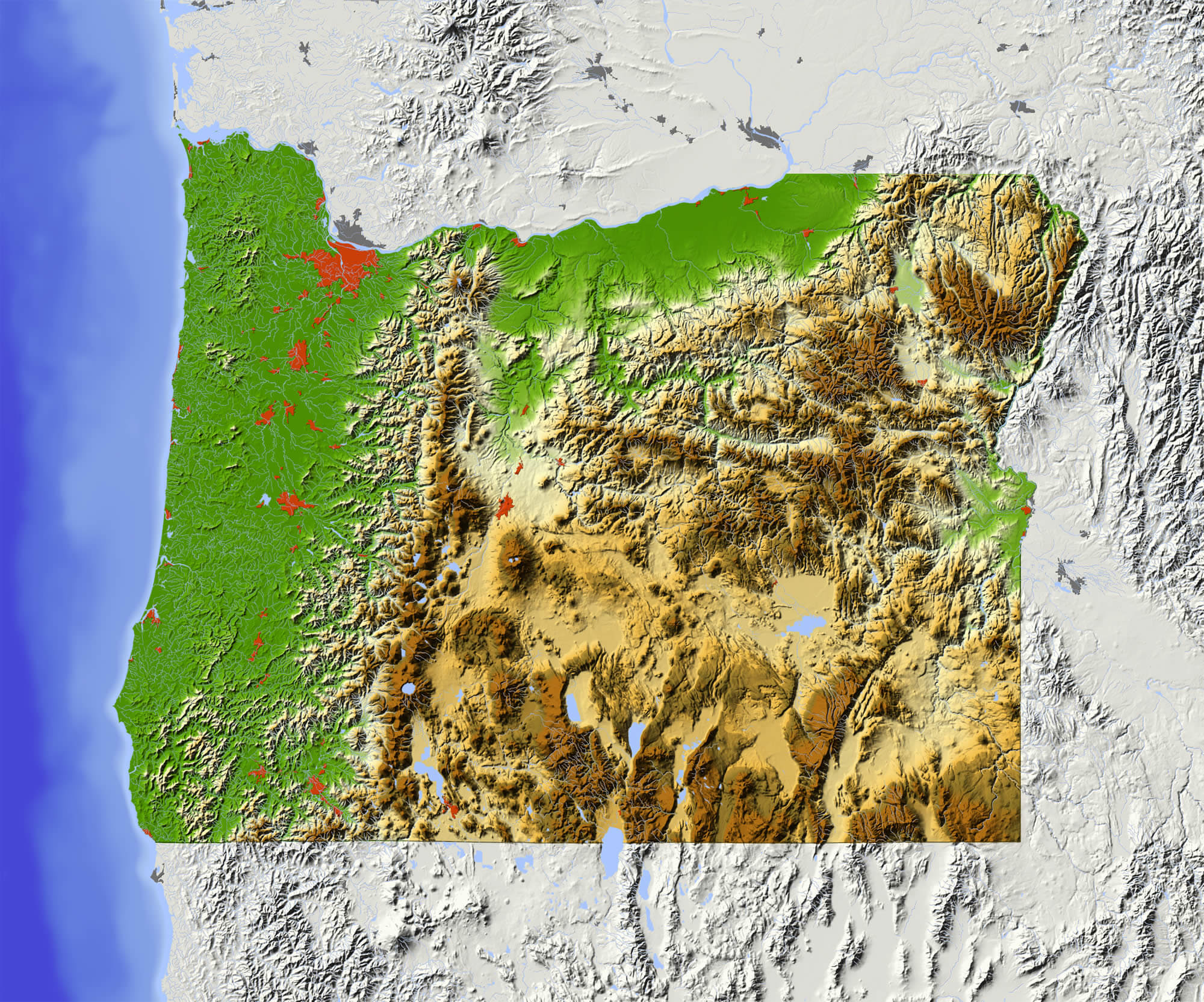
Oregon Shaded relief map, with major urban areas and rivers, surrounding territory grayed out. Colored according to elevation. Clipping path for the state area included. Data source: NASA
Oregon Vintage Map
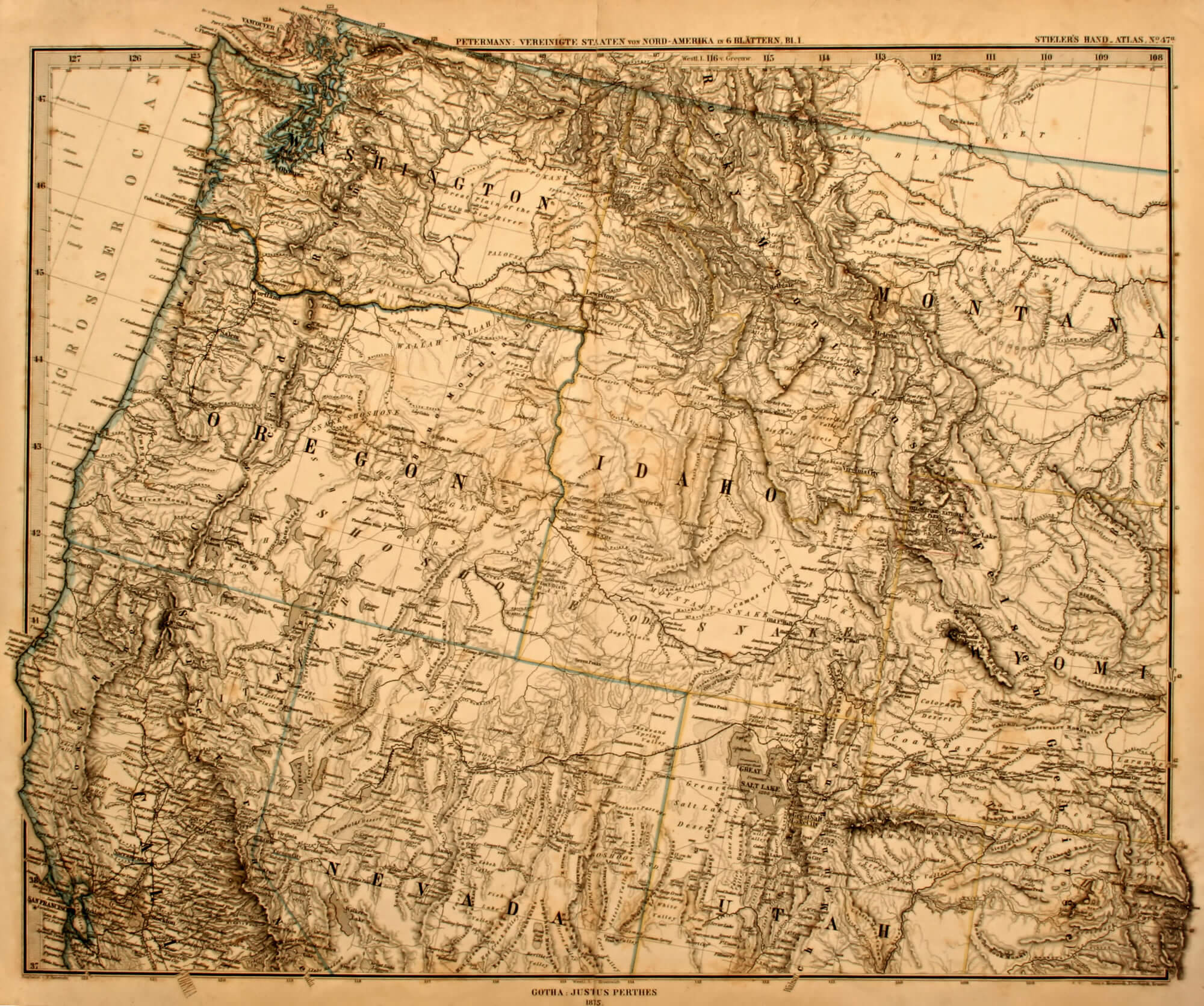
Original Oregon vintage map of the US Pacific Northwest printed in 1875.
Color Map of Oregon

Vector color map of Oregon state, USA.
Oregon State Map
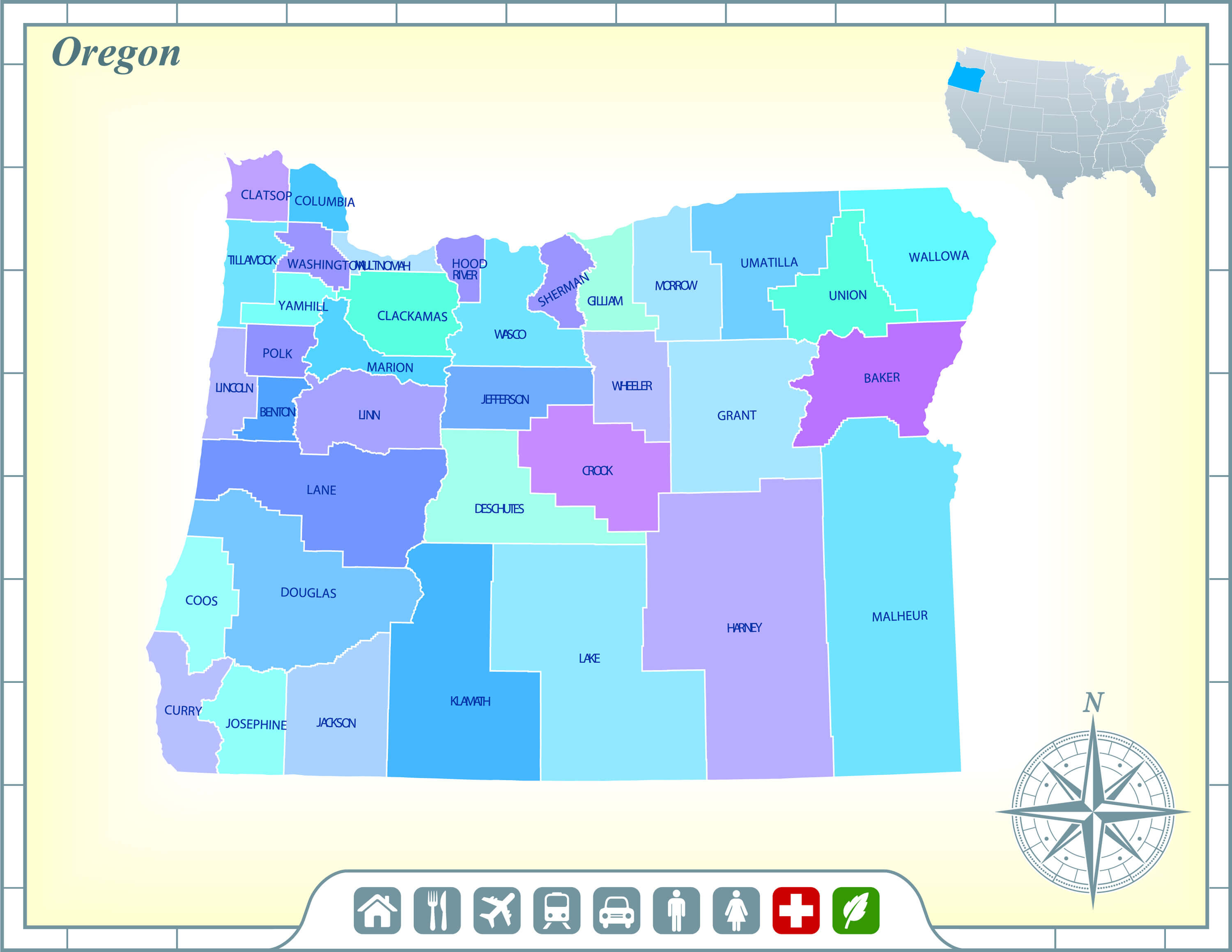
Oregon State Map with Community Assistance and Activates.
Oregon State Map, US
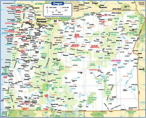
Oregon State Map, US with main cities.
Map of Oregon, USA
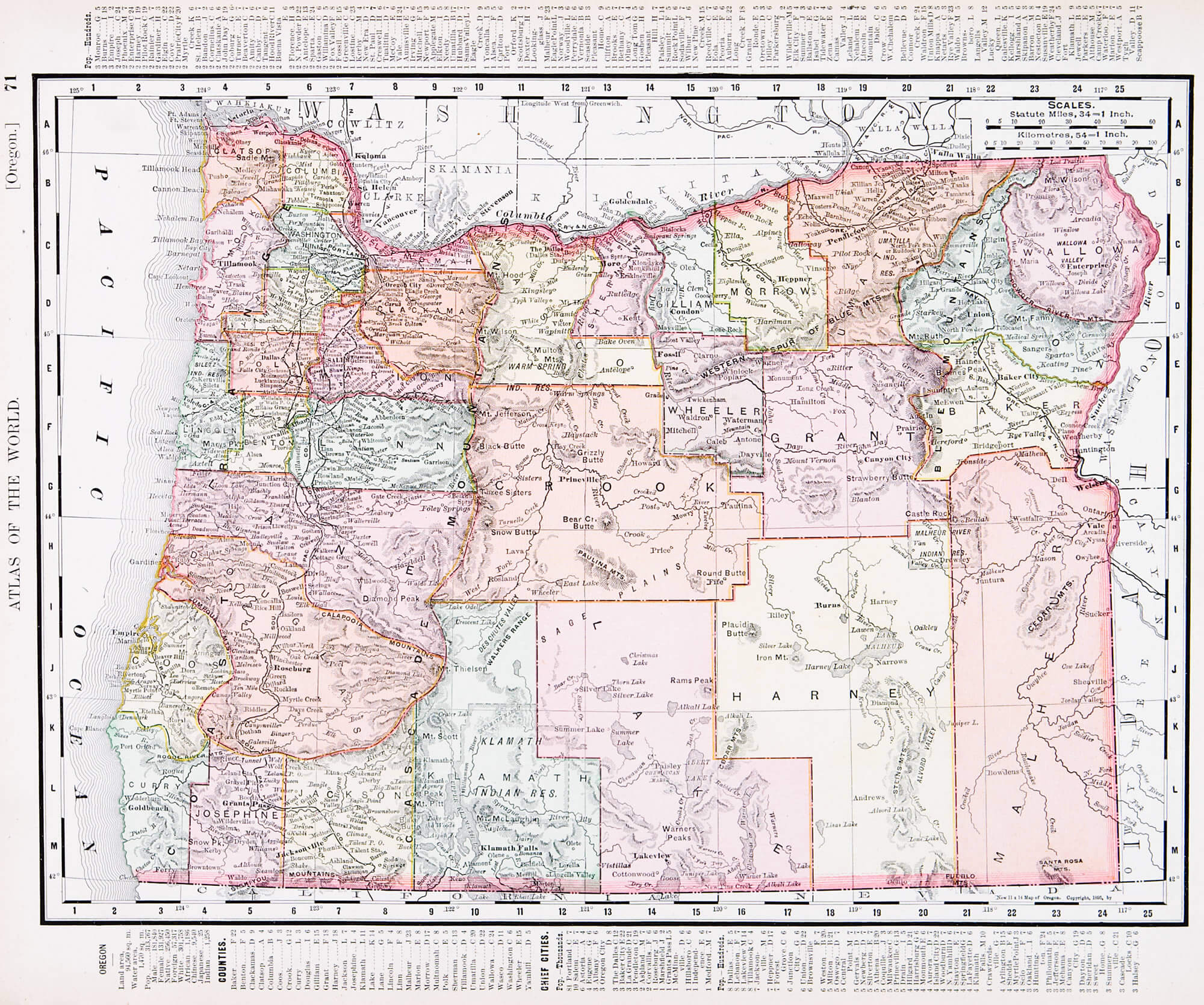
A map of Oregon, USA from Spofford’s Atlas of the World, printed in the United States in 1900, created by Rand McNally & Co.
Portland Map, Oregon
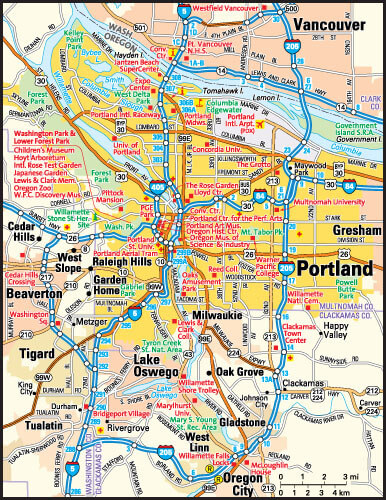
Portland, Oregon area map, United States of America.
Where is Oregon in the World?
Show Google map, satellite map, where is the country located.
Get direction by driving, walking, bicycling, public transportaion and travel with street view.
[gmap-embed id=”1998″]
Oregon Maps and Photos
- Please Click for more Oregon Map
- Please Click for Map of Oregon
- Advertisement -