- Advertisement -
A collection of Maryland Maps; View a variety of Maryland physical, united states political map, administrative, relief map, Maryland satellite image, higly detalied maps, blank map, Maryland USA and earth map, Maryland’s regions, topography, cities, road, United States of America direction maps and US atlas.
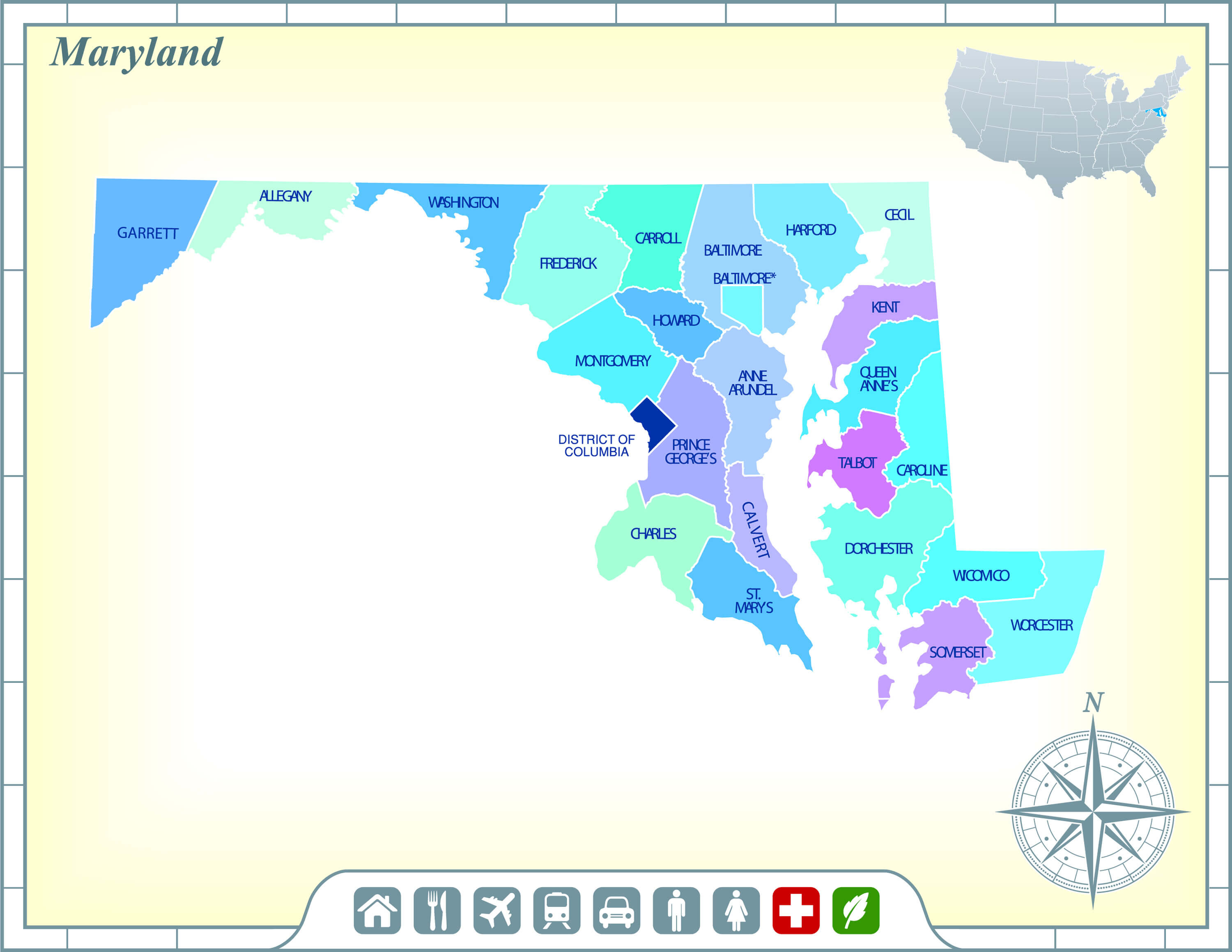
Color Map of Maryland State

Vector color map of Maryland state, USA.
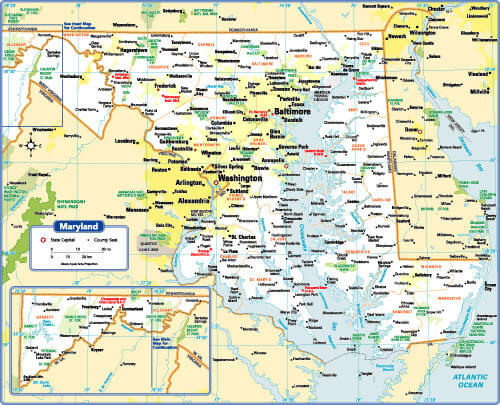
Maryland State Map
Maryland State Map with Community Assistance and Activates.
Maryland State Cities Map
Maryland State Map with main cities, US.
Maryland Map 1900, USA
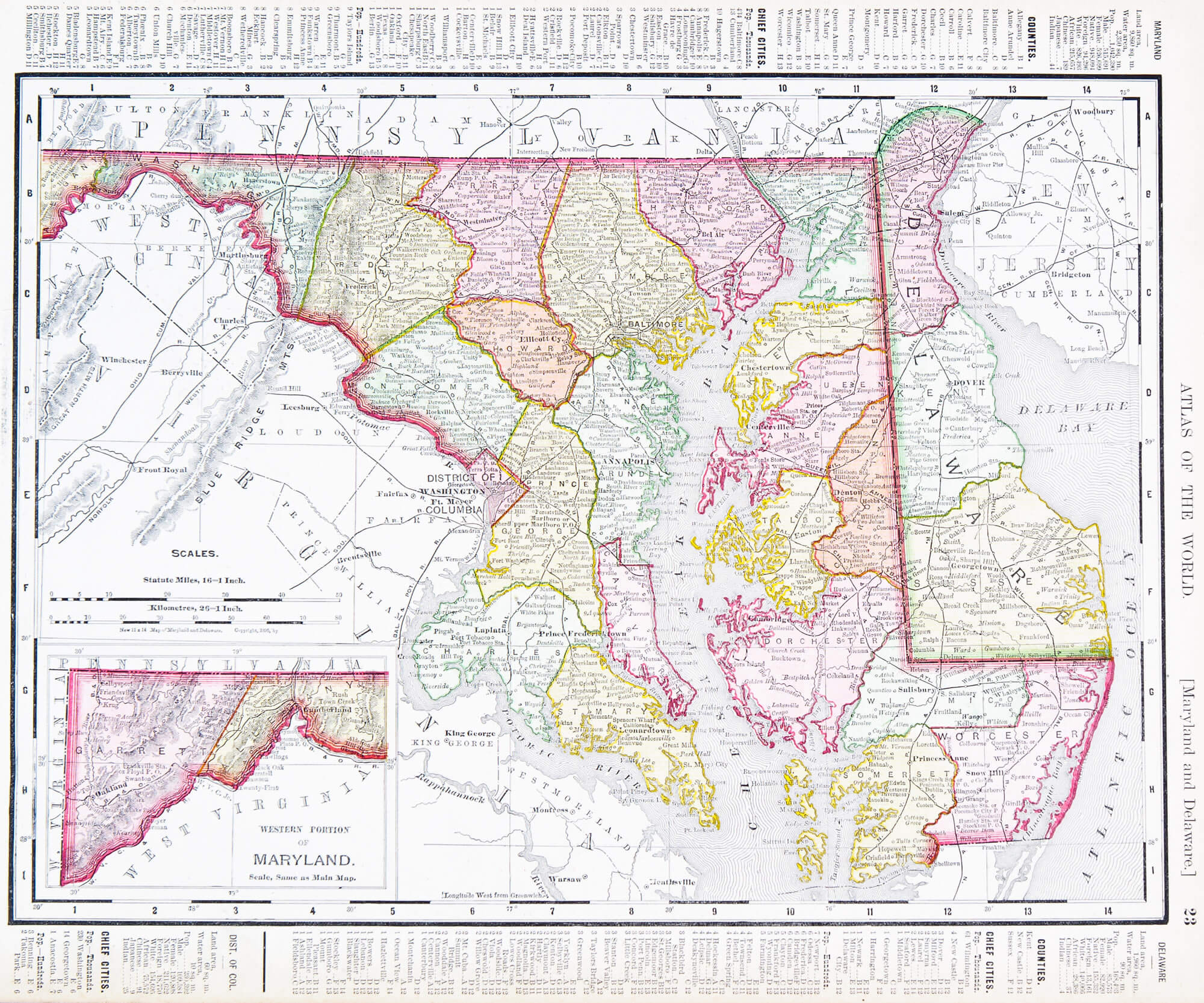
Vintage maps of the states of Maryland and Delaware, United States, 1900.
Maryland Road Map
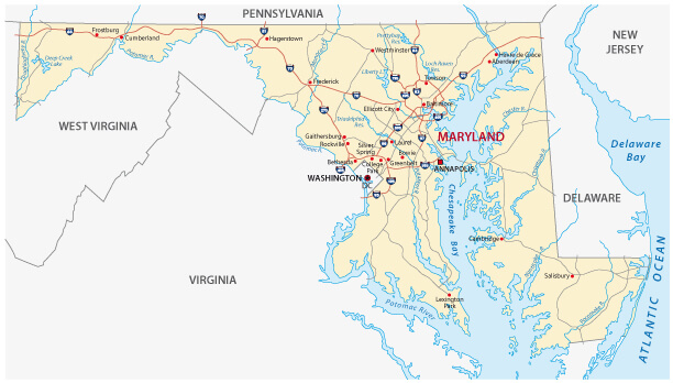
Maryland Road Map with main cities and state interstates, USA.
Where is Maryland on the US Map?
Show Google map, satellite map, where is the country located.
Get directions by driving, walking, bicycling, public transportation and travel with street view.
Feel free to explore these pages as well:
- Maryland Map ↗️
- Map of Maryland ↗️
- Discovering Baltimore: The Charm City Awaits ↗️
- Journey Through Pennsylvania: A Guide to Its Wonders and Its Place on the Map ↗️
- Map of New Jersey ↗️
- Advertisement -