Kentucky Photos

HomePhotoCountriesKentucky Photos
- Advertisement -

A Collection of Kentucky Photos

Skylines Downtown Louisville

skylines downtown louisville
View of Skyline downtown Louisville in Kentucky USA.

Horse Farm in Kentucky

Horse farm in Kentucky
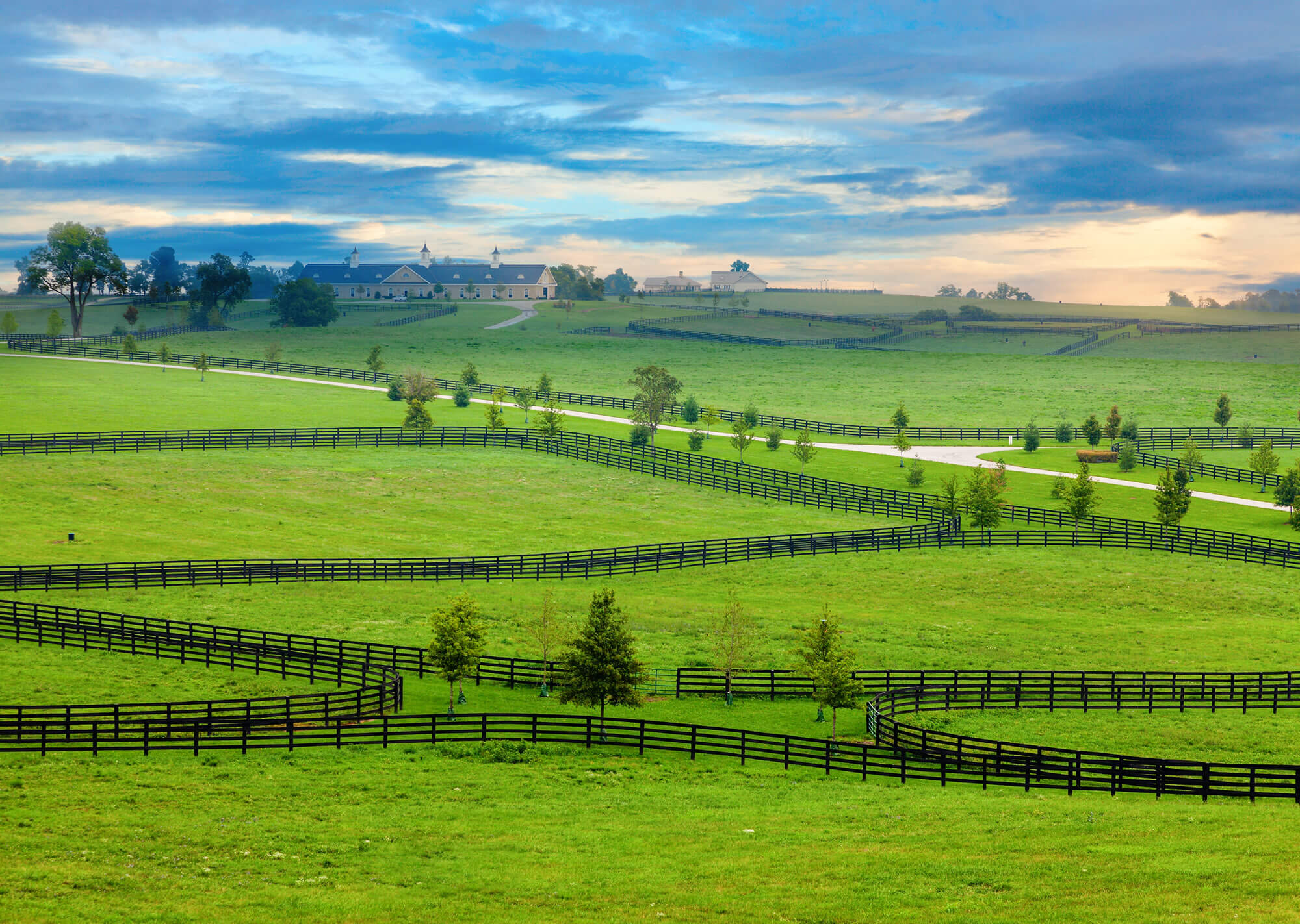
Horse farm in Kentucky, United States of America.

Kentucky State Capitol

Kentucky State Capitol


Kentucky State Capitol, United States.

A Farm in Central Kentucky

a farm in Central Kentucky
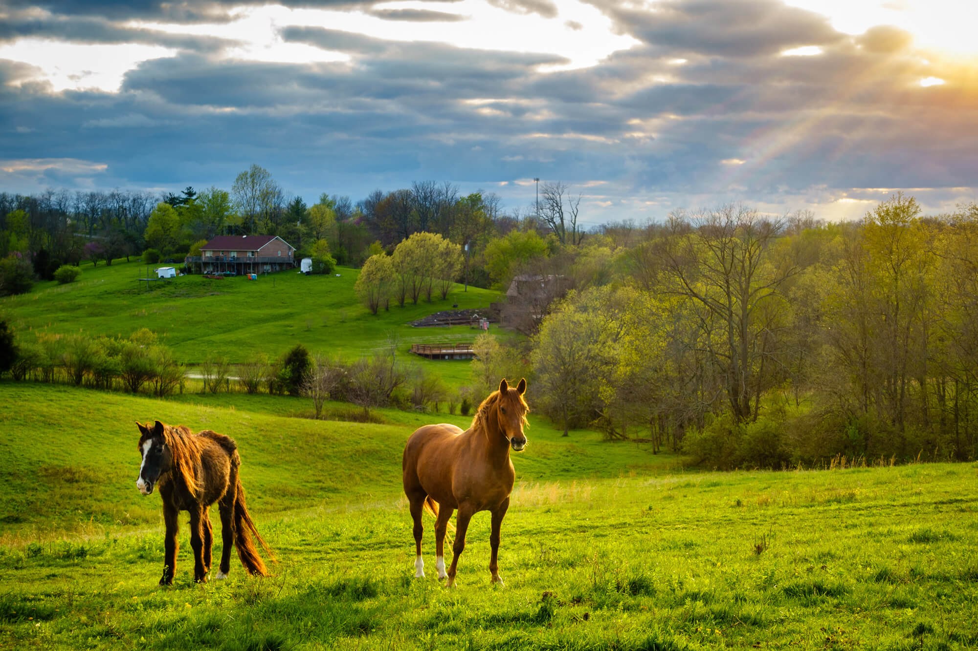
Beautiful chestnut horses on a farm in Central Kentucky at sunset.

Louisville in Kentucky USA

Louisville in Kentucky USA
View of Skyline downtown Louisville in Kentucky USA.

Where is Kentucky in the World?

Show Google map, satellite map, where is the country located.

Get direction by driving, walking, bicycling, public transportaion and travel with street view.

[gmap-embed id=”2005″]

Kentucky Maps and Photos

- Advertisement -
Previous article
Next article

Discover

Sponsor

Latest Posts

Andorra Map

Where is Andorra, geography of Andorra, enlargeable topographic map of Andorra, including political maps, physical map, cities map, satellite images of Andorra, location, itinerary,...

Kuwait Map

A collection of Kuwait Maps; View a variety of Kuwait physical, political, administrative, relief map, Kuwait satellite image, higly detalied maps, blank map, Kuwait...

The Essential Collection of Denmark Maps for Travelers and Geographers

Explore Denmark's diverse terrain and vibrant cities through our extensive map collection. From bustling cities like Copenhagen to the serene coastline, these maps offer...

Nevada Photos

A Collection of Nevada Photos Valley of Fire State Park, Nevada Surface of Driveway, Valley of Fire State Park, Nevada, USA Sierra Nevada Mountains Sierra Nevada Mountains, United...

Top 10 Best Washington D.C. Experiences You Shouldn’t Miss

Capital Excursions: How to Best Experience Washington D.C as a Tourist Immerse yourself in the heart of American history and culture as you explore Washington...