- Advertisement -
A Collection of Alaska Photos
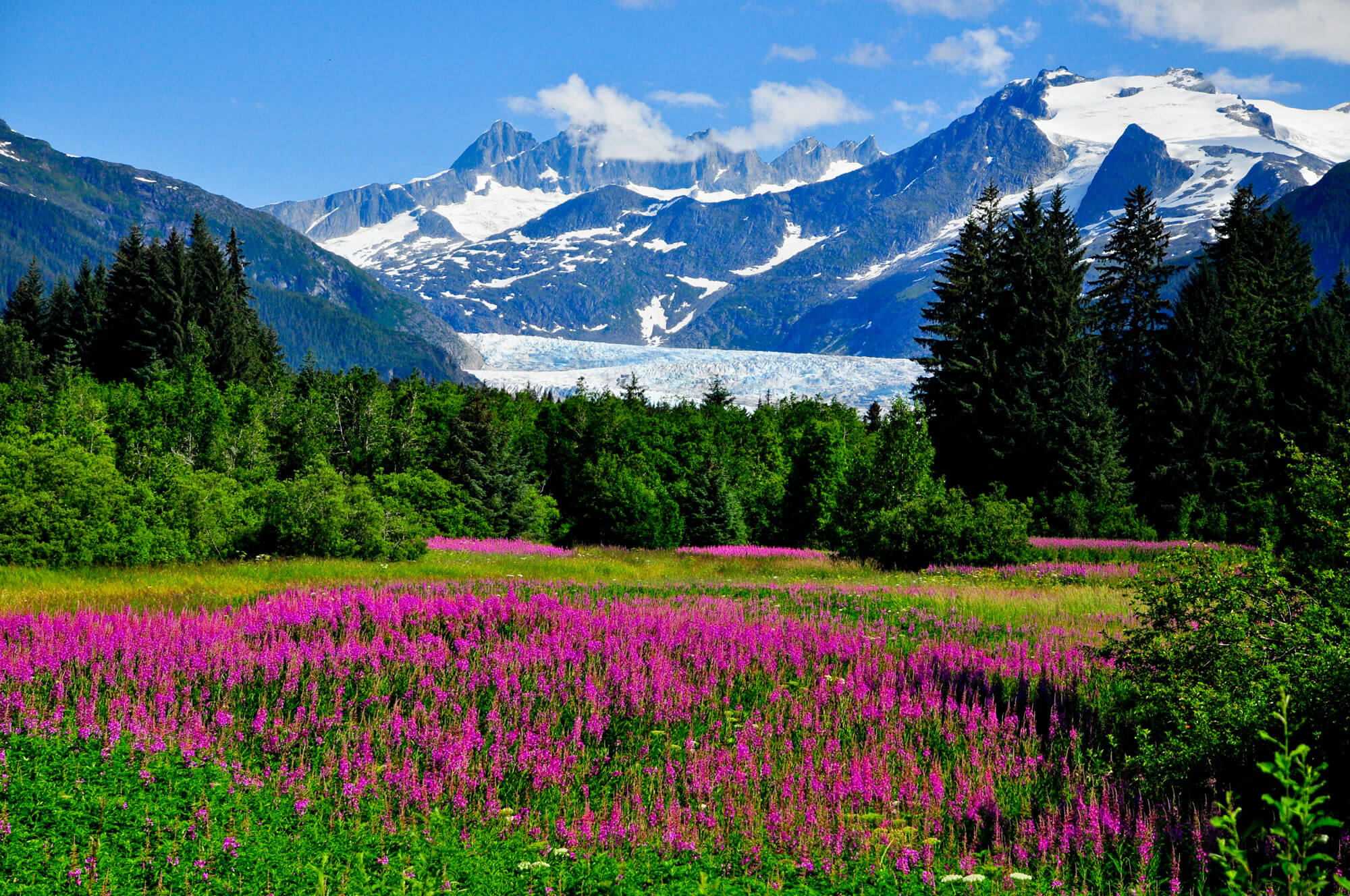
Mendenhall Glacier Viewpoint with Fireweed in bloom, in Alaska.
Margerie Glacier, Alaska
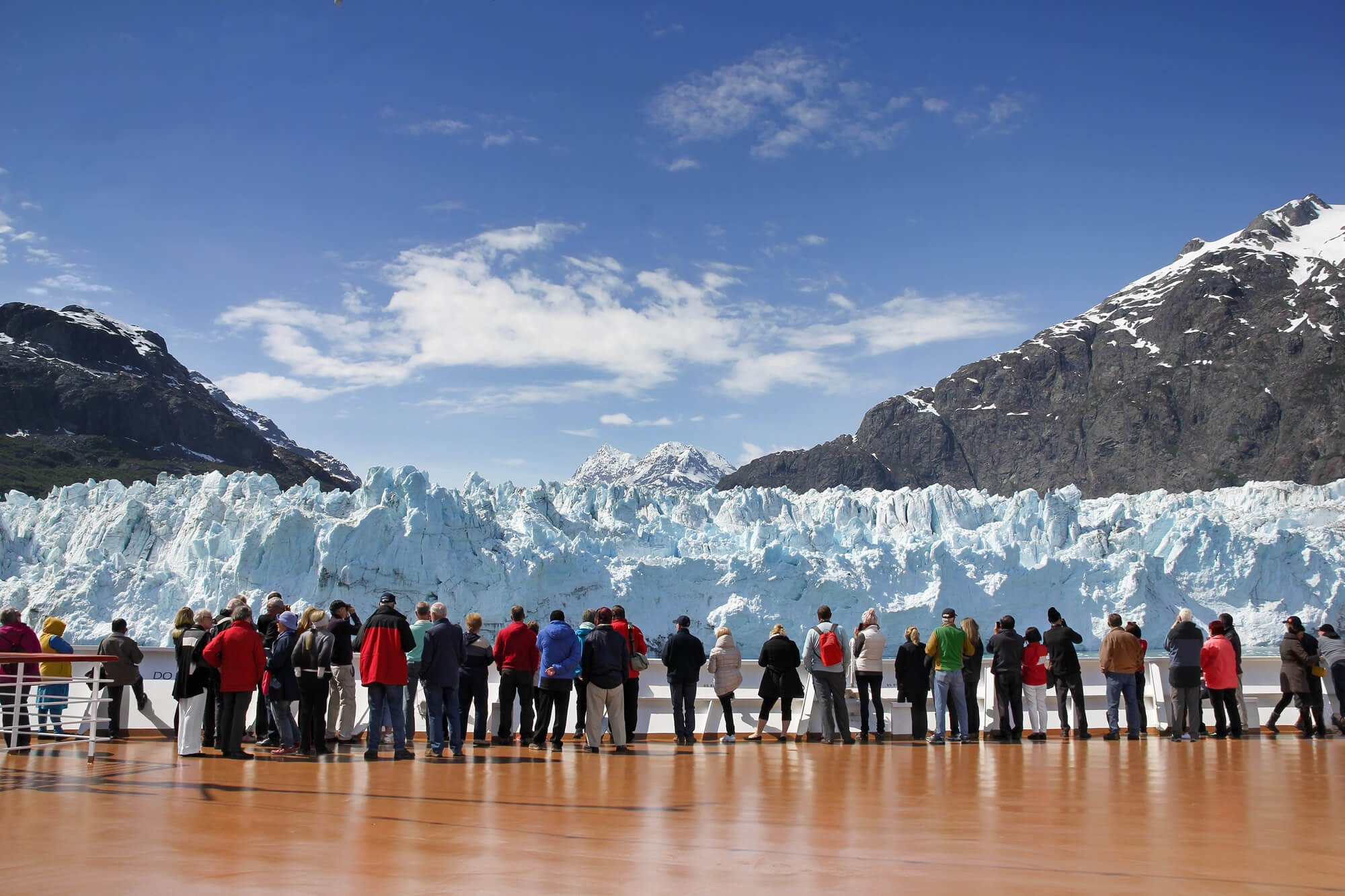
Cruise passengers watching Margerie Glacier, Alaska, USA
Skagway, Alaska
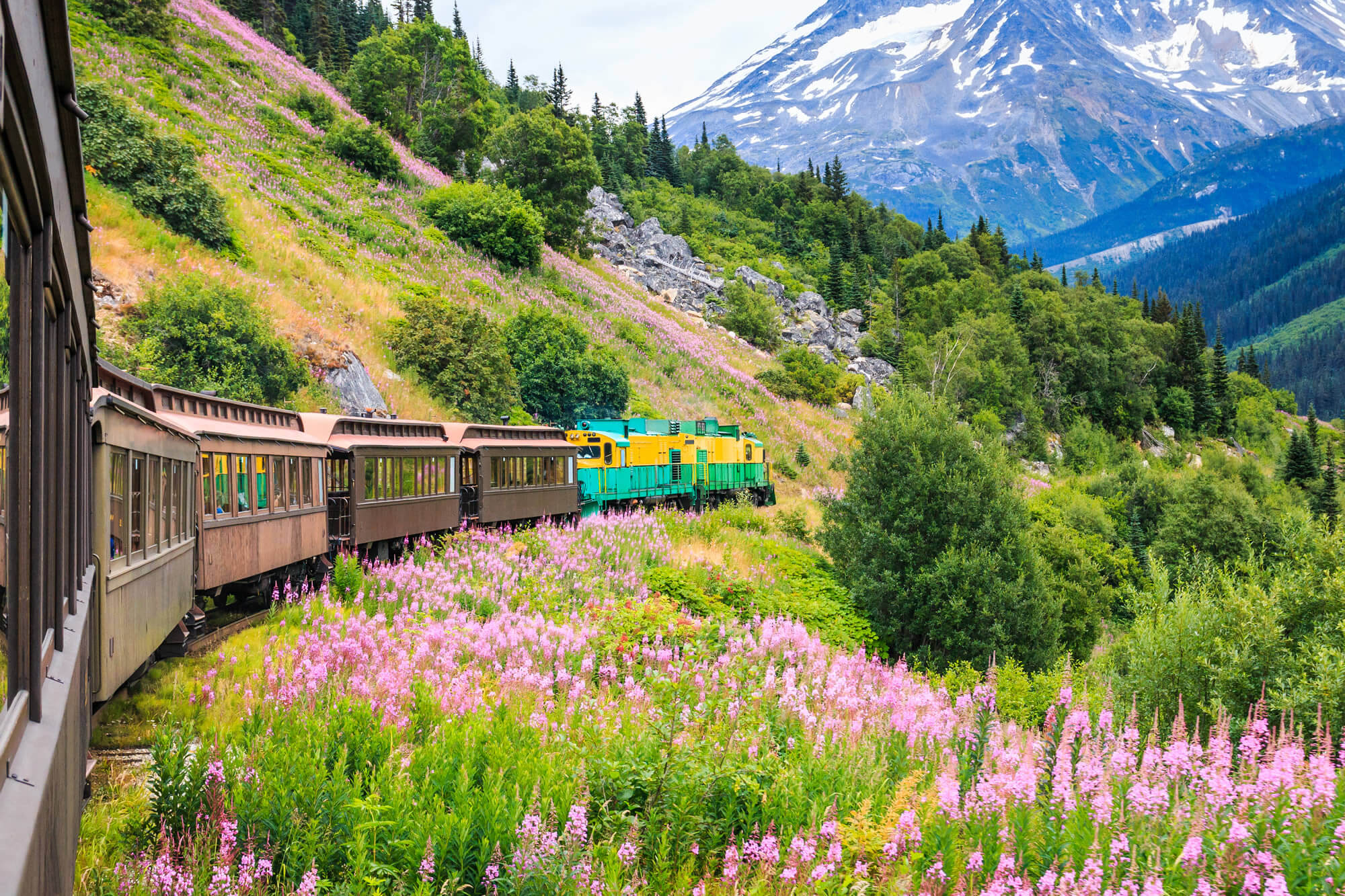
Skagway, Alaska. The scenic White Pass & Yukon Route Railroad.
Katmai National Park, Alaska
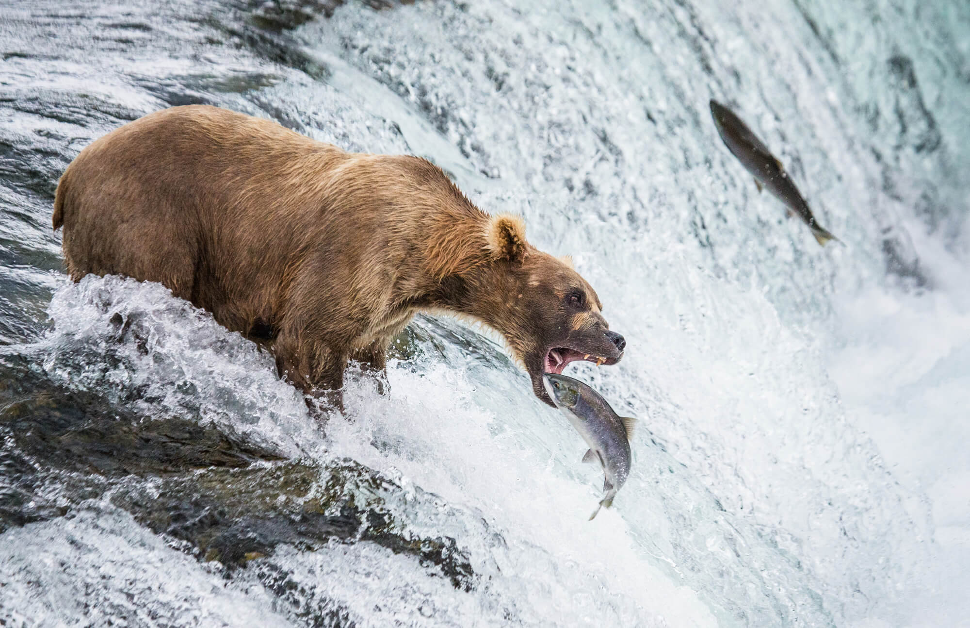
Brown bear catches a salmon in the river. USA. Alaska. Katmai National Park.
Anchorage Skylines, Alaska
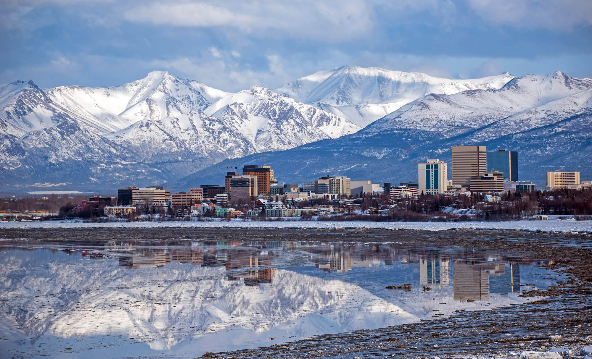
Anchorage Skyline with a winter reflection, United States of America.
Summer Vacation in Alaska
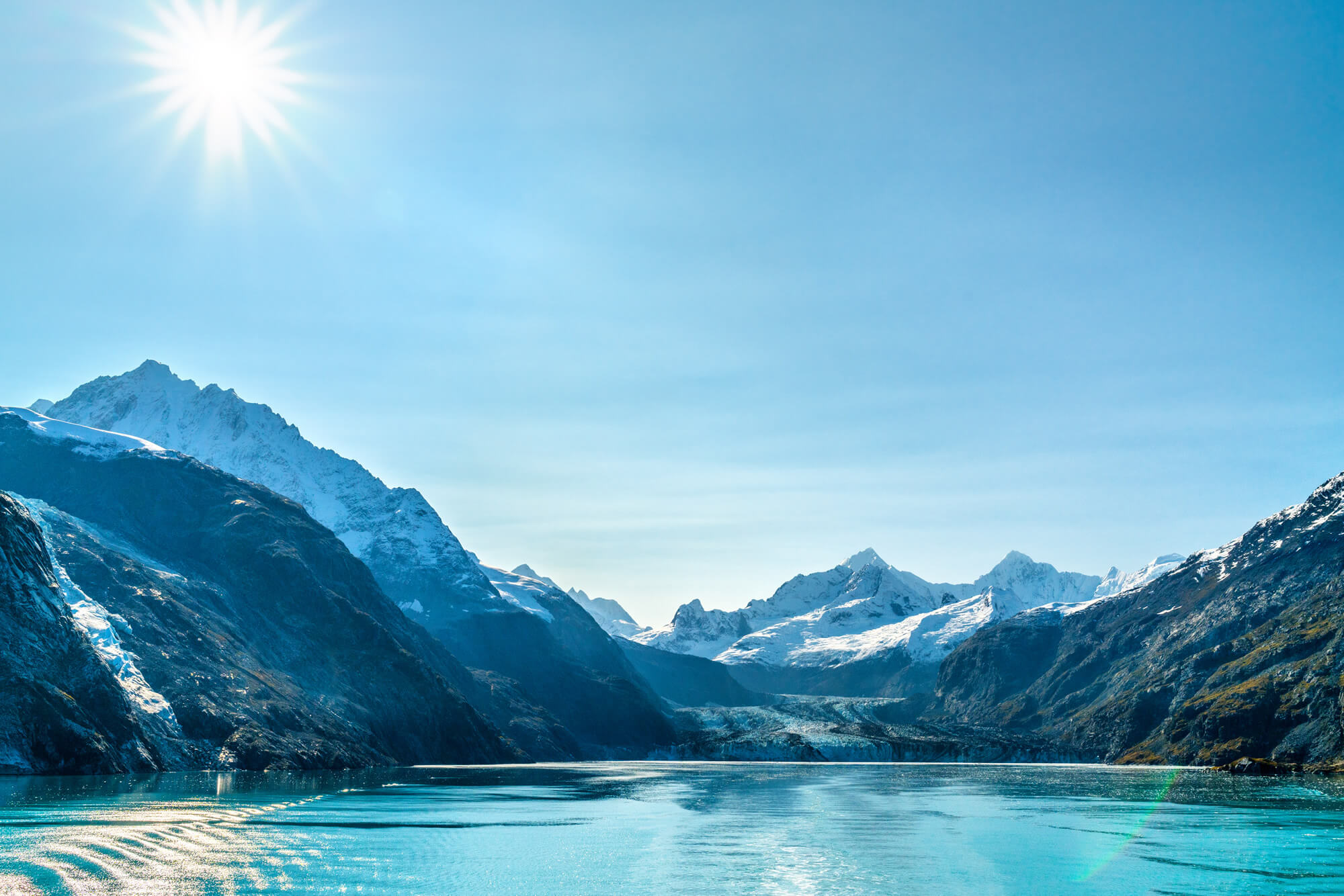
Alaska cruise travel landscape. Glacier Bay Johns Hopkins Glacier on sunny day with sun flare. Summer vacation in Alaska, USA.
Mountain in Alaska, USA
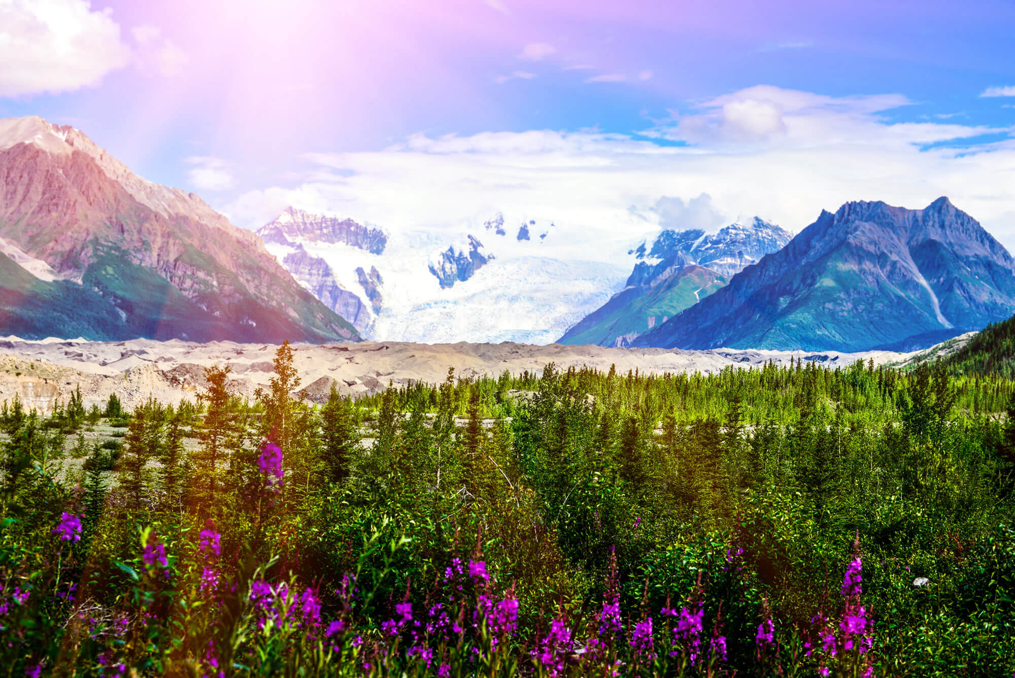
Amazing view of landscape mountain in Alaska. The indescribable beauty of nature!
Alaska Maps and Photos
- Please Click for more Alaska Map
- Please Click for more Info About Map of Alaska
- Please Click for more Alaska Photos
Where is Alaska on the United States Map?
Show Google map, satellite map, where is the country located.
Get directions by driving, walking, bicycling, public transportation and travel with street view.
- Advertisement -
