Delve into the captivating landscapes and intricate details of Austria with our curated collection of maps. From its majestic mountains to bustling urban centers, each map tells a unique story of this European jewel. Let’s embark on a journey to understand Austria’s geography, politics, and history—all through the lens of various maps.
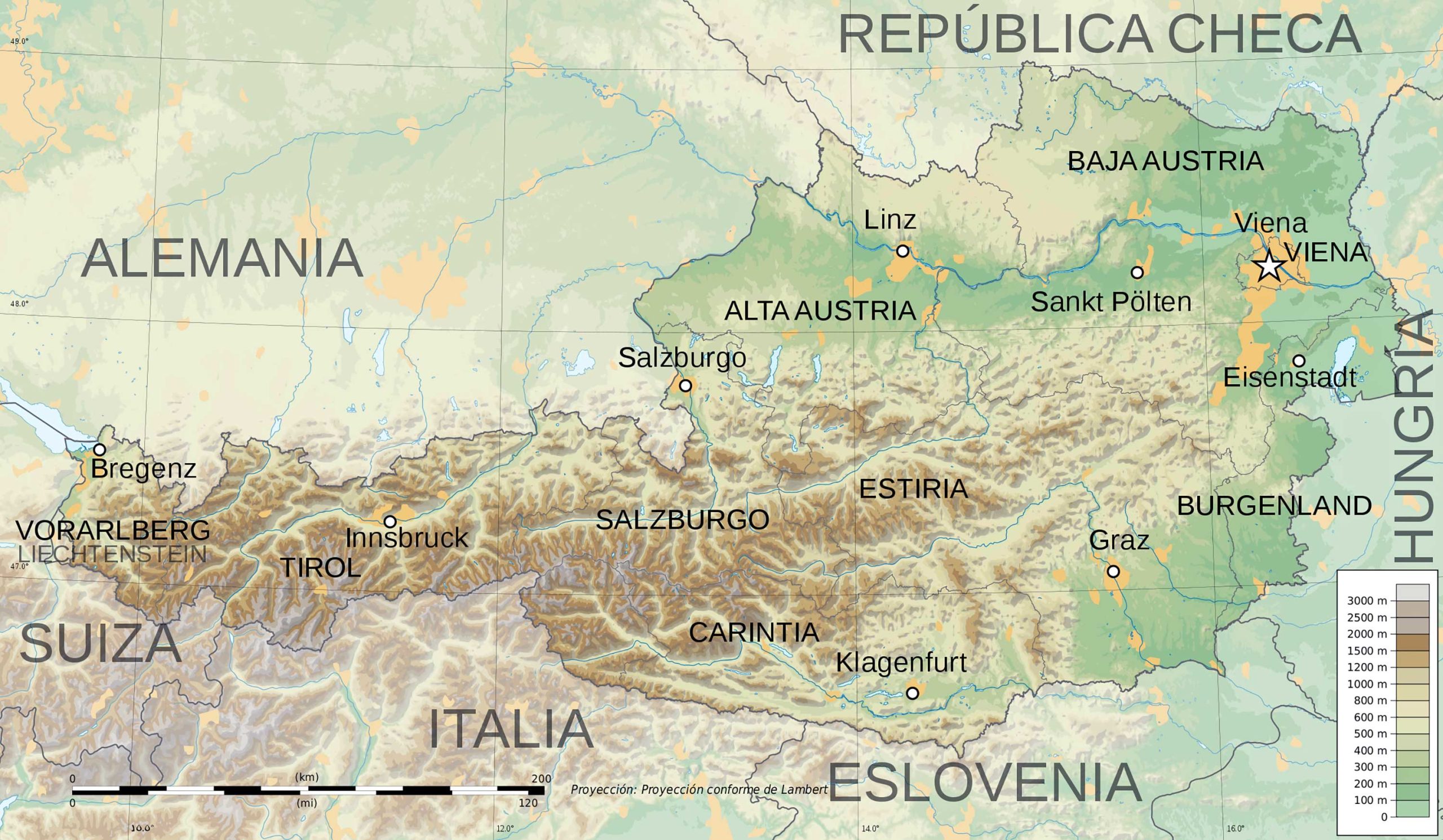
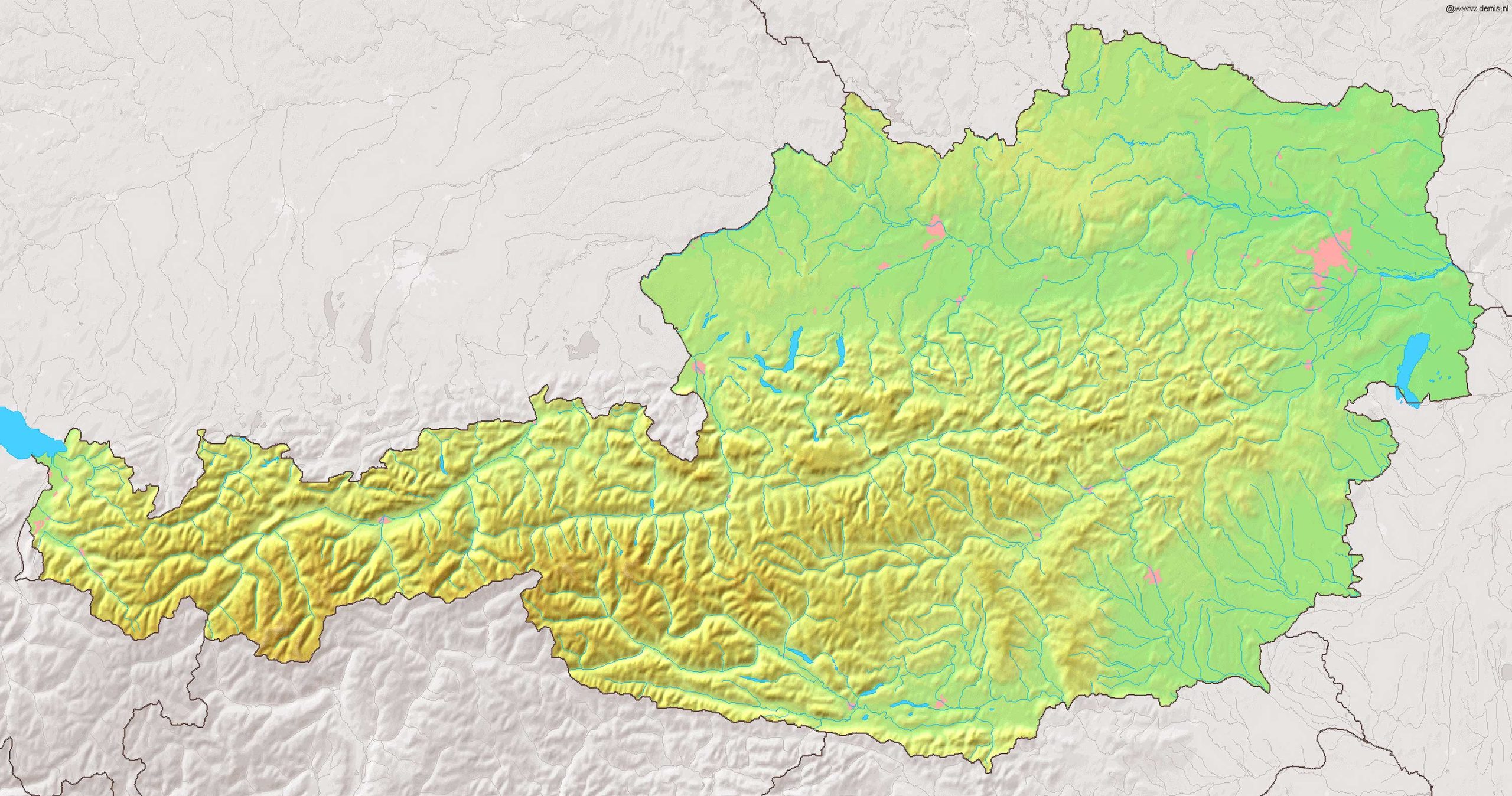
1. Austria Physical Map
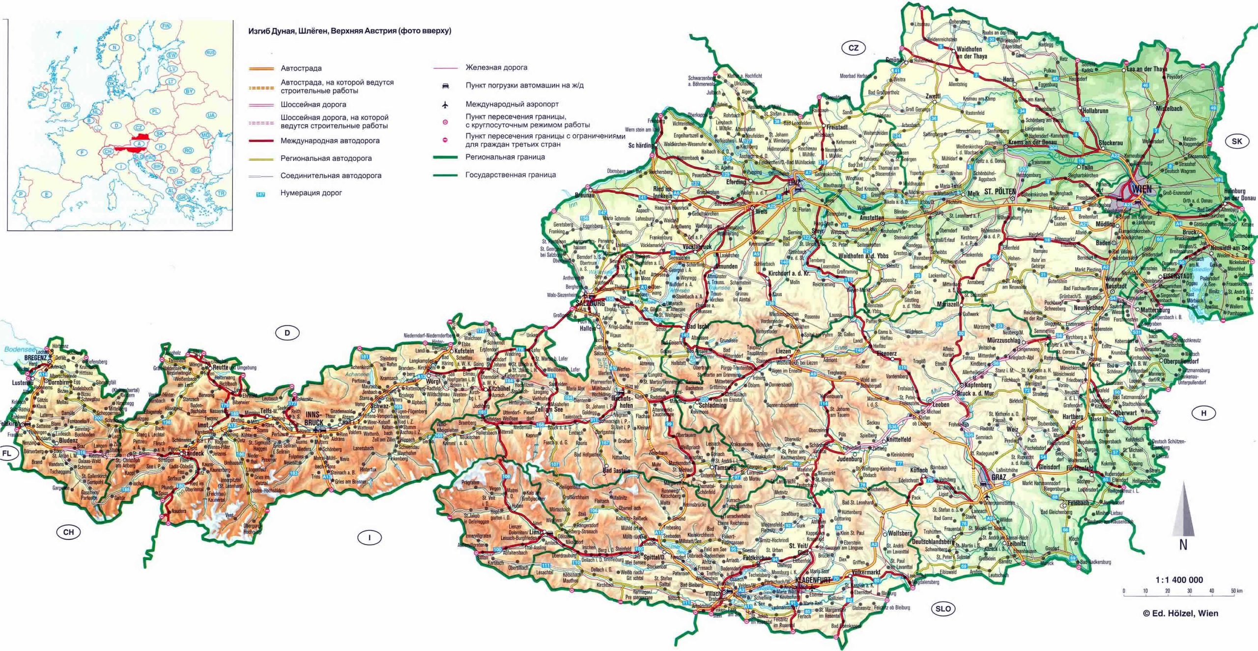
Depicts the natural features of Austria, including its majestic mountains, valleys, and water bodies, revealing the country’s diverse terrain.
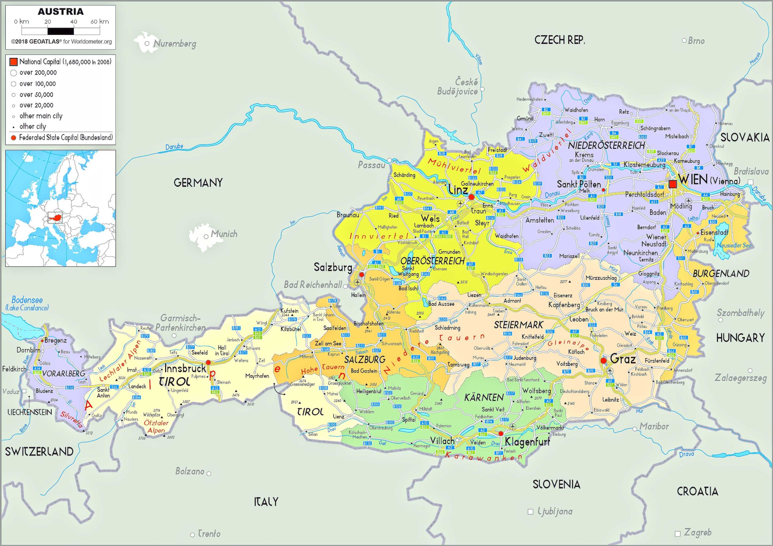
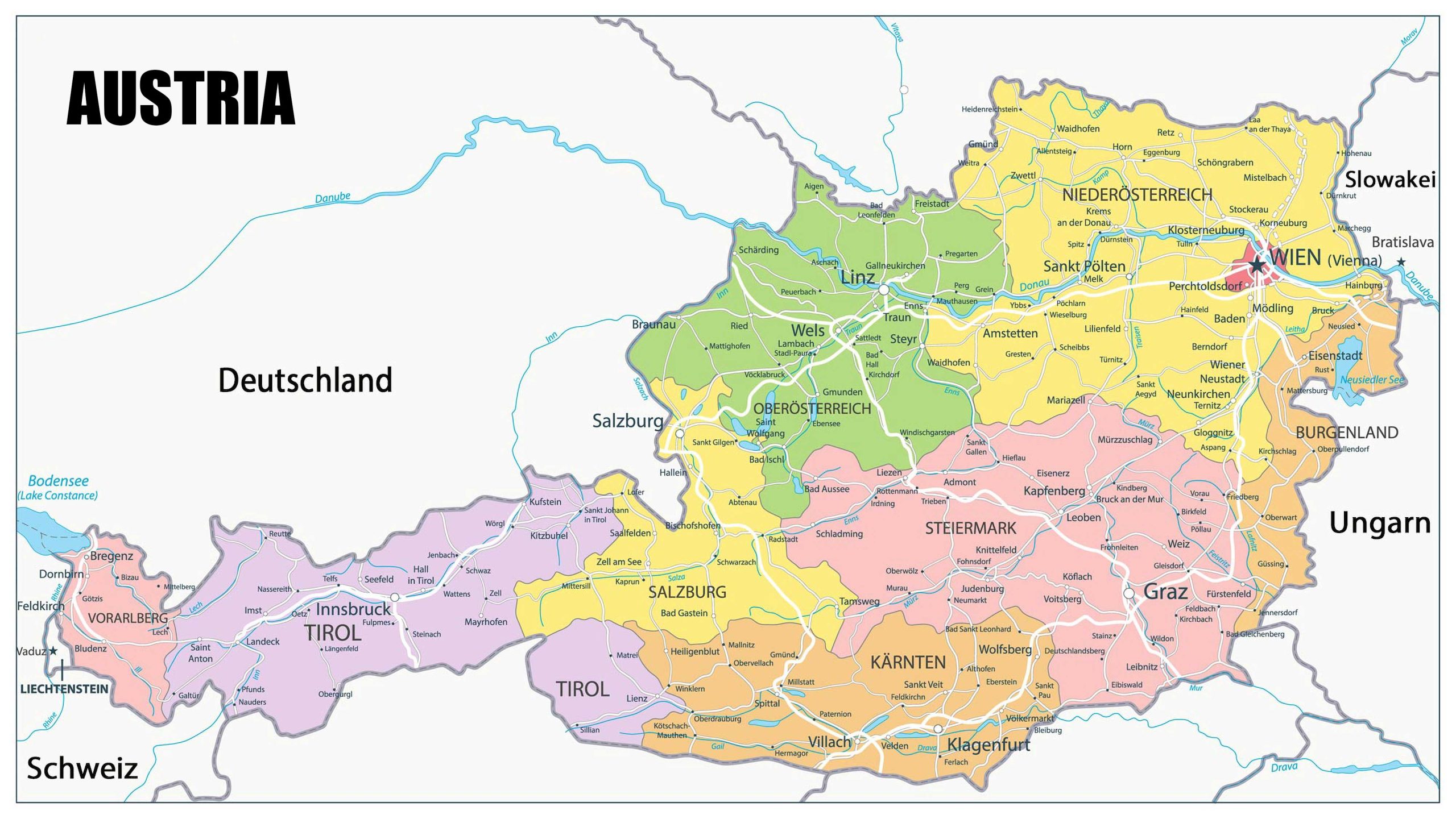
2. Austria Political Map
Showcases Austria’s territorial boundaries, capitals, and major cities, illustrating the nation’s political landscape.
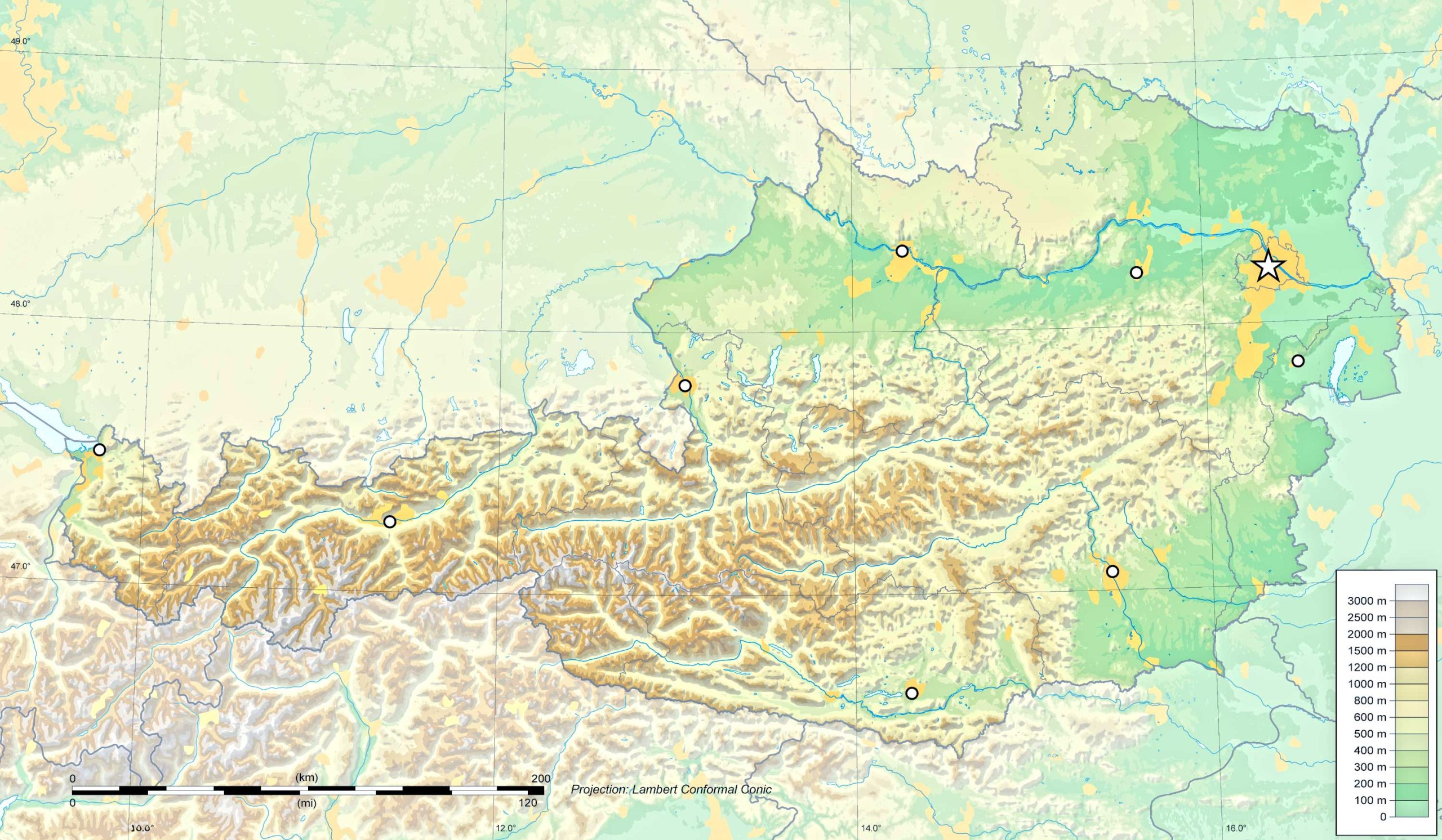
3. Austria Topographic Map
Represents the elevation and contours of Austria’s landscape, offering detailed insights into its surface features.
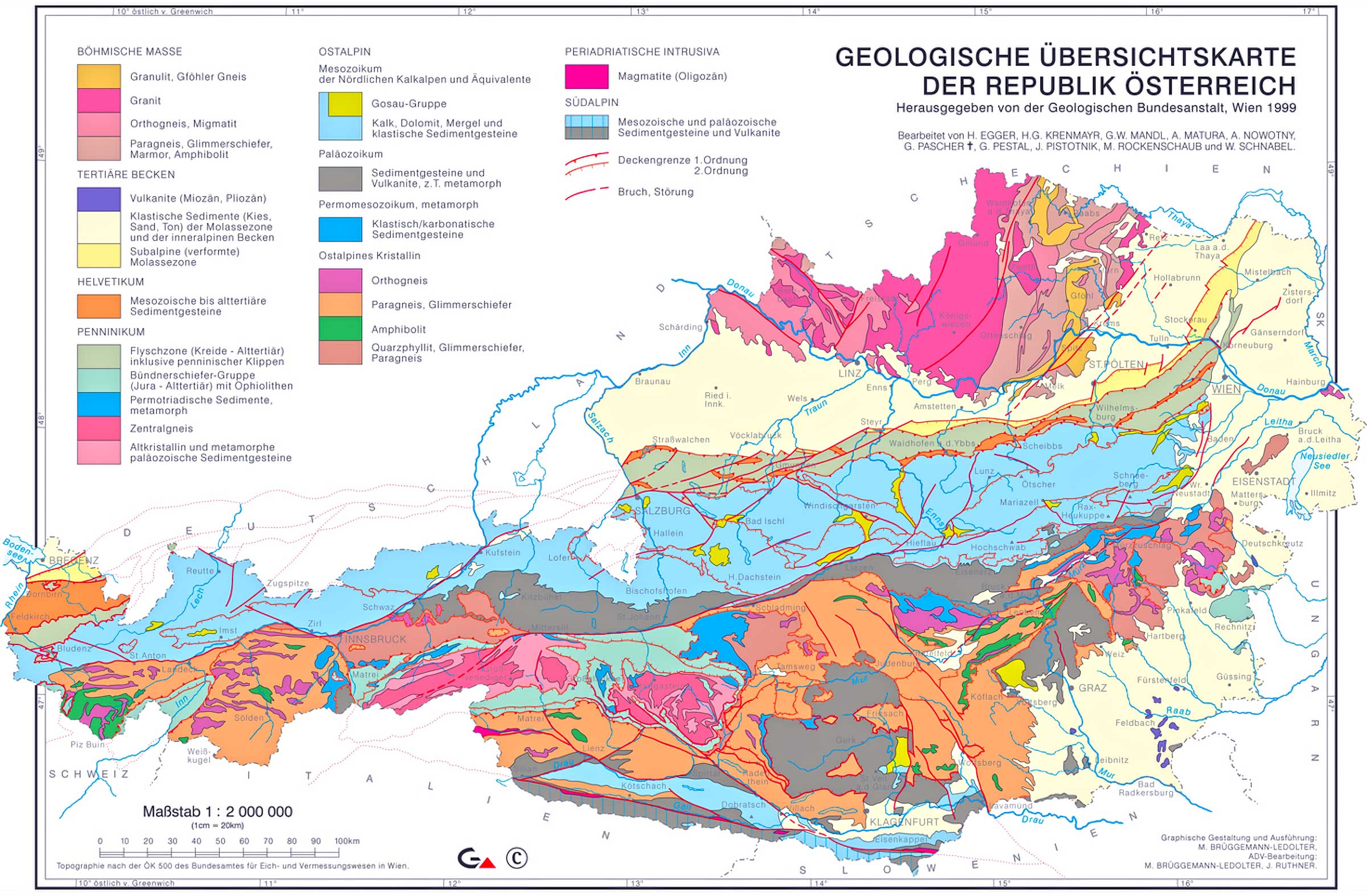
4. Austria Geological Map
Displays the types and age of rock at the surface, highlighting Austria’s geological history and mineral resources.
5. Austria Cities (Urban) Map
Zoning in on Austria’s bustling urban centers, this map provides a detailed layout of cities, towns, and infrastructure.
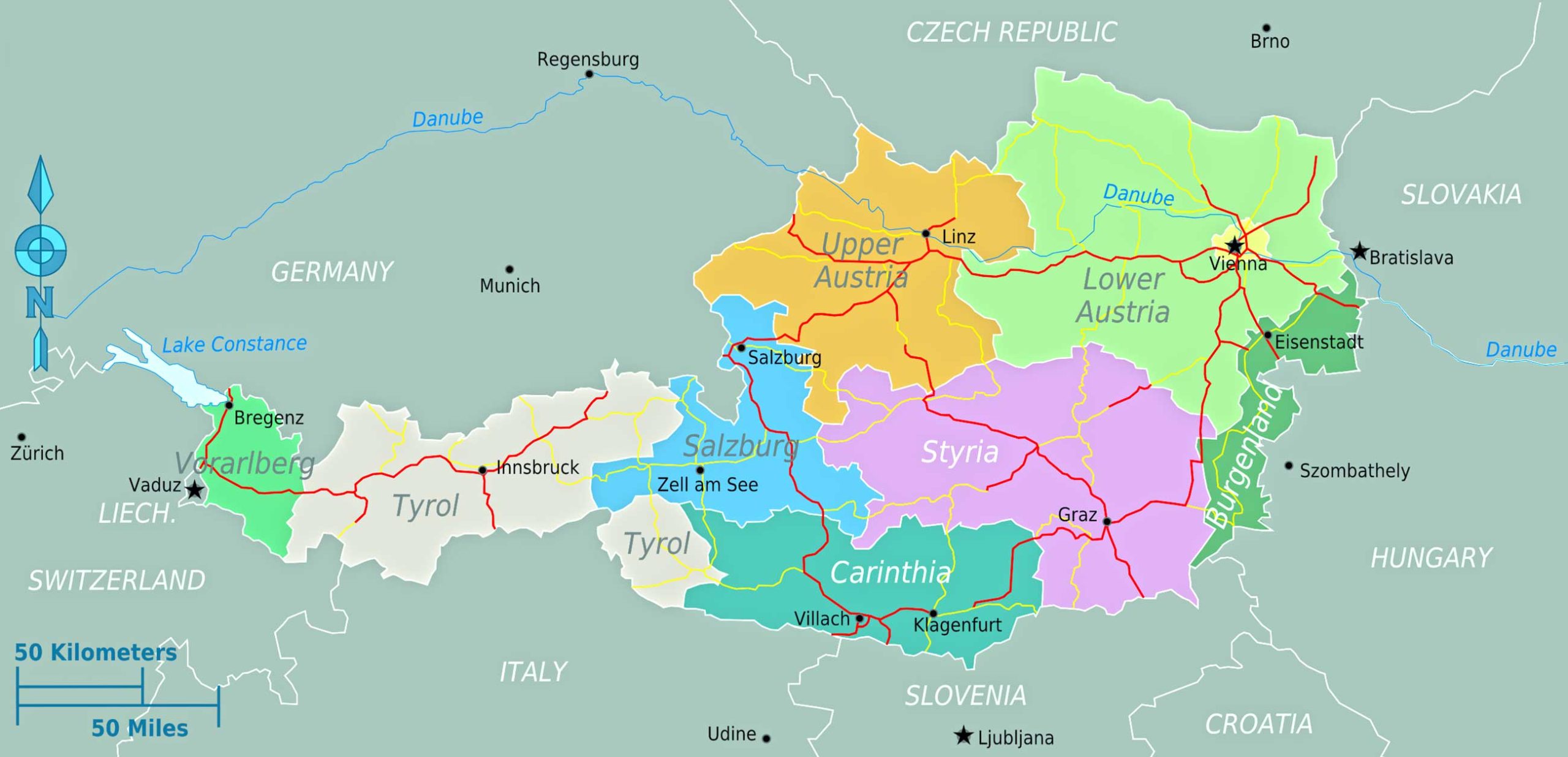
6. Austria Regions Map
Outlines the different regions in Austria, providing an understanding of its cultural and geographical divisions.
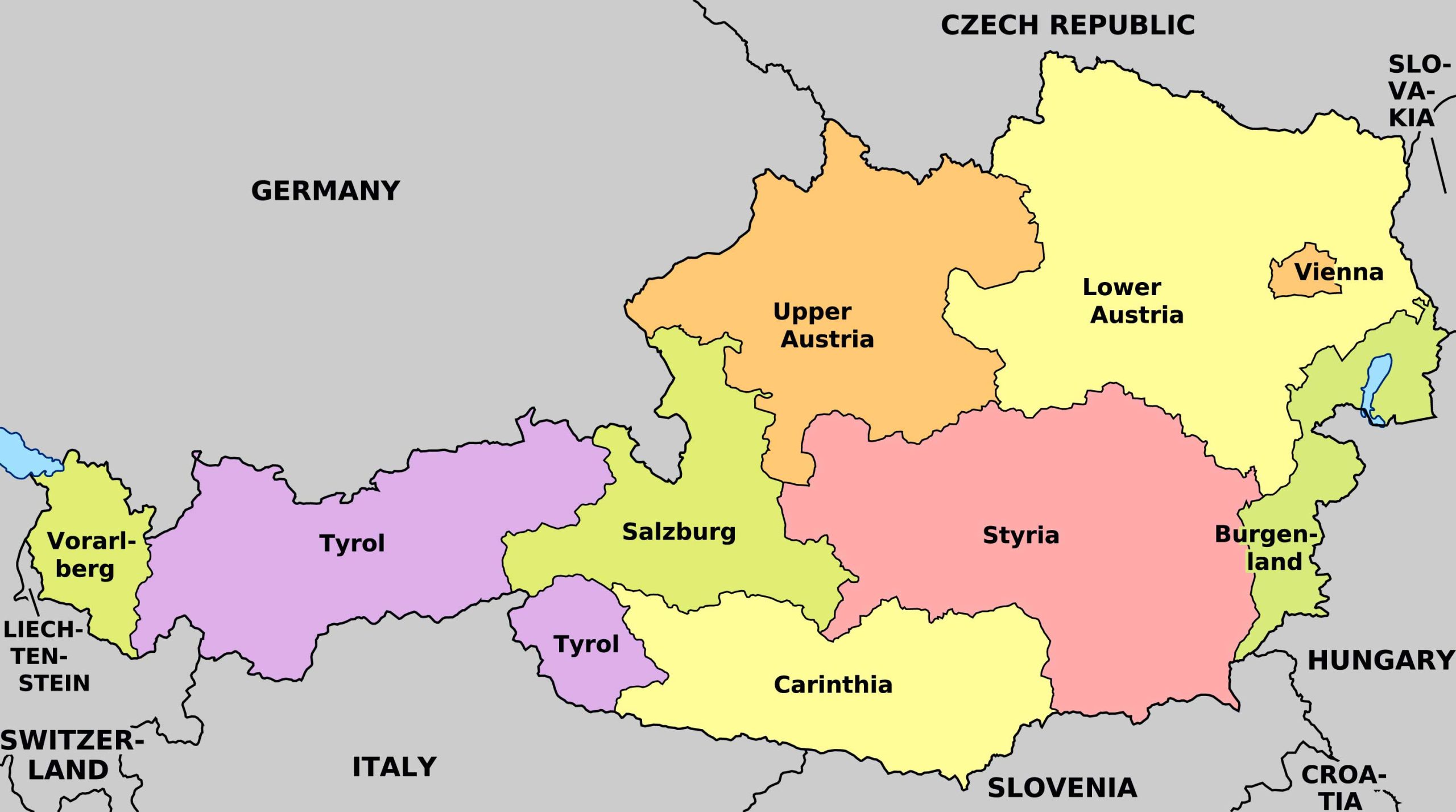
7. Austria Administrative Divisions Map
Details the different levels of administrative boundaries in Austria, from states to municipalities.
8. Austria Relief Map
Emphasizes the physical height of land formations in Austria, giving a three-dimensional perspective of its landscape.
9. Austria Transit Map
Illustrates Austria’s public transportation routes, including buses, trams, and subways, easing the commuter’s journey.
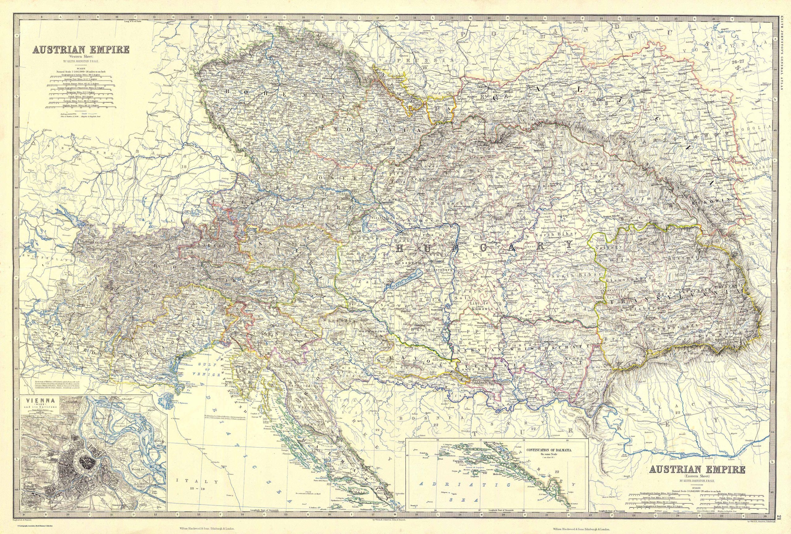
10. Austria Historical Map – Austrian Empire Map (1861)
Captures Austria’s evolution over time, highlighting its past territories, boundaries, and important historical events.
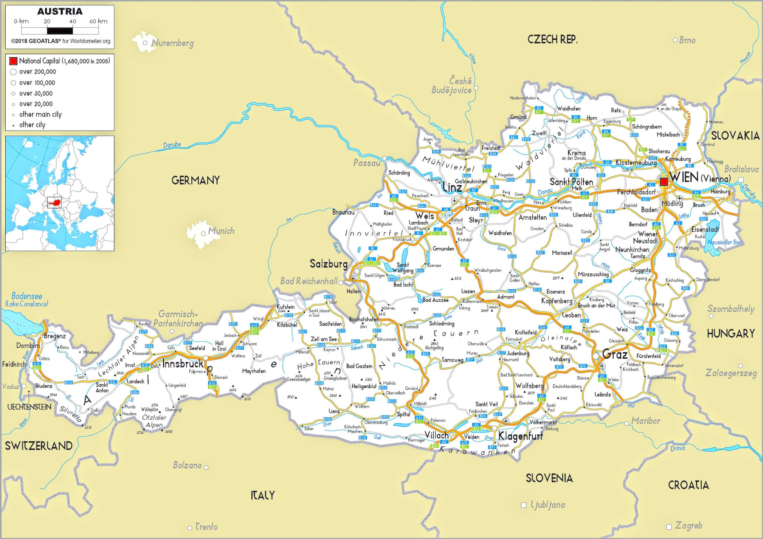
11. Austria Road Map
Details Austria’s extensive road network, assisting drivers in navigating the country’s highways and byways.
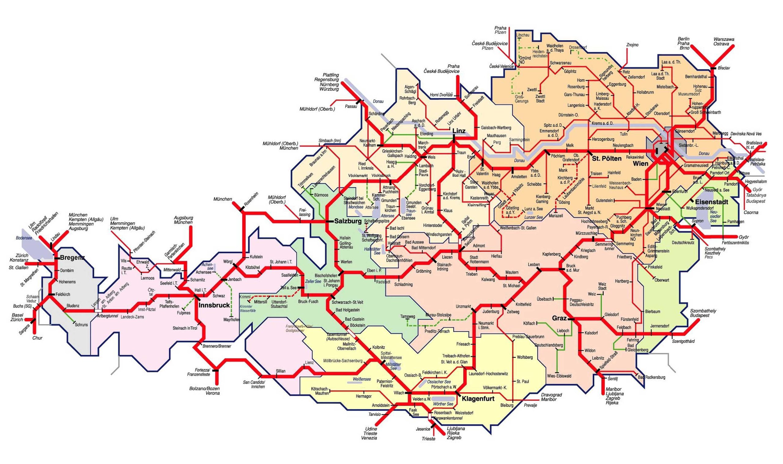
12. Austria Train-Railway Map
Showcases the intricacies of Austria’s railway system, connecting major cities and towns.
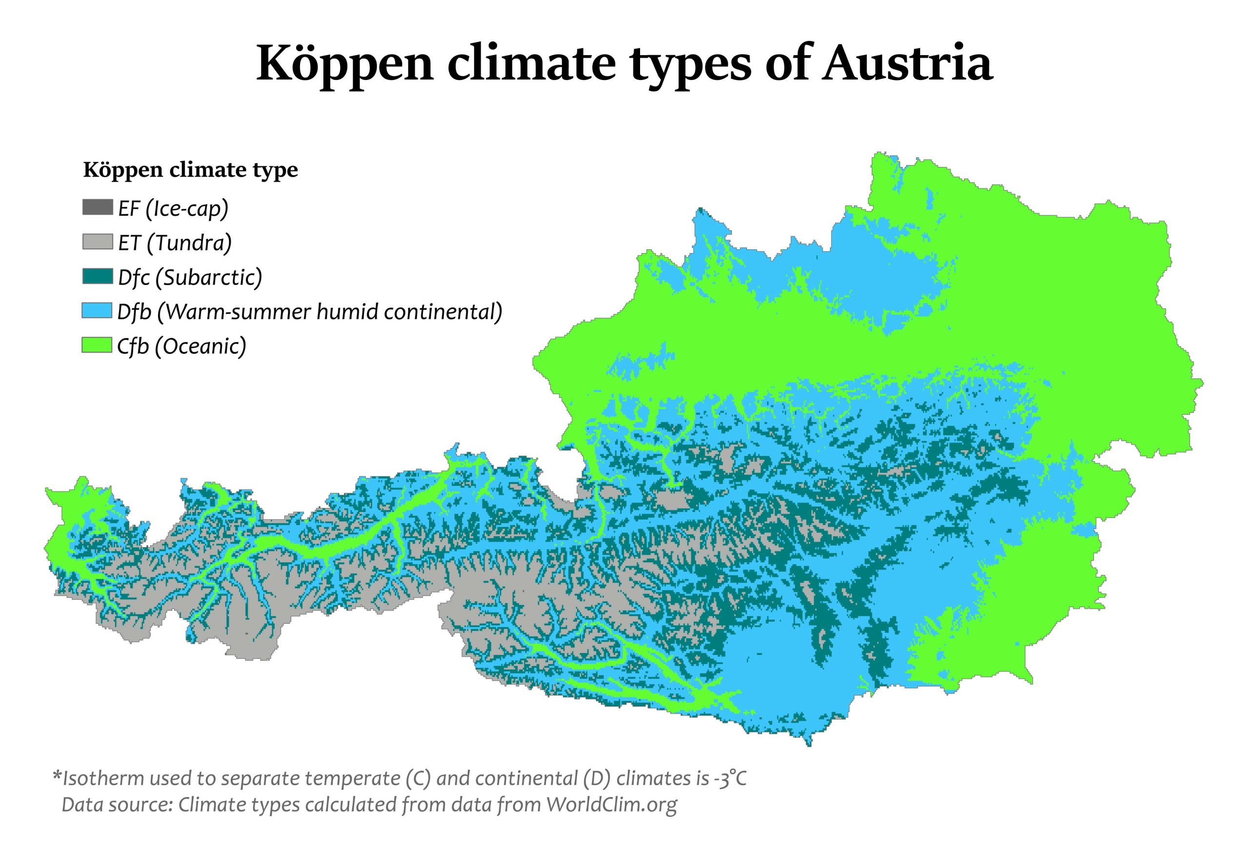
13. Austria Climatic Map
Displays Austria’s varied climate zones, providing insights into its weather patterns and microclimates.
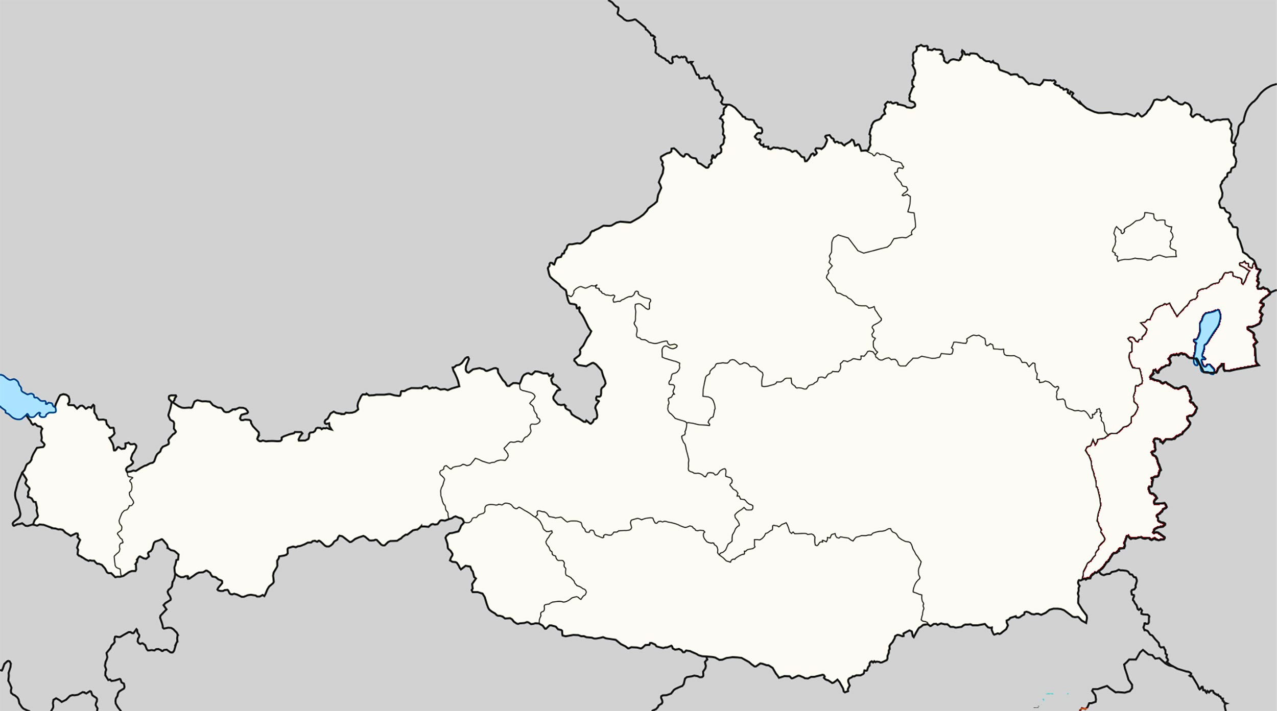
14. Austria Blank Map
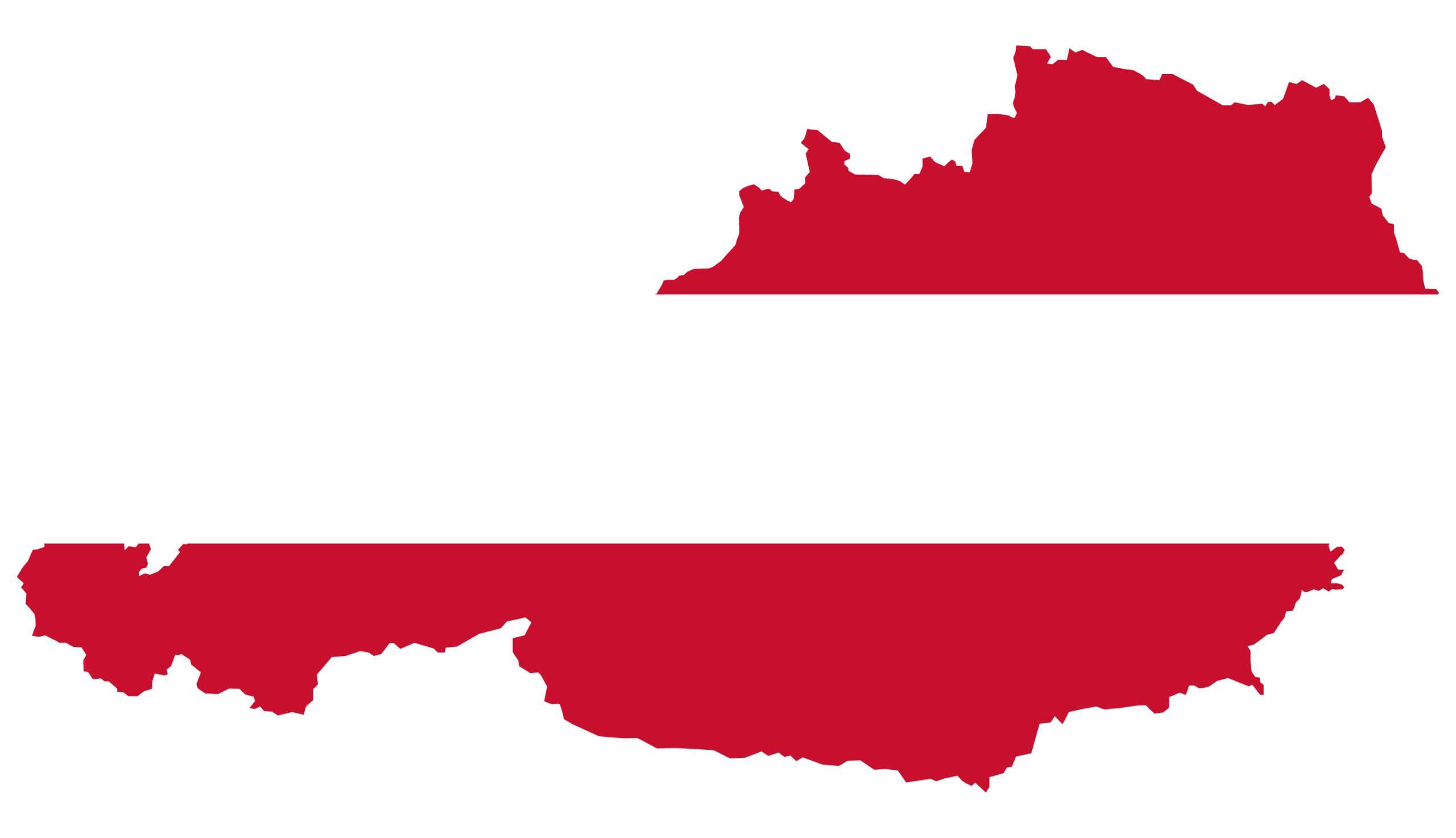
15. Austria Flag Map
A unique representation where Austria’s national flag fills its territorial boundary, symbolizing its identity and pride.
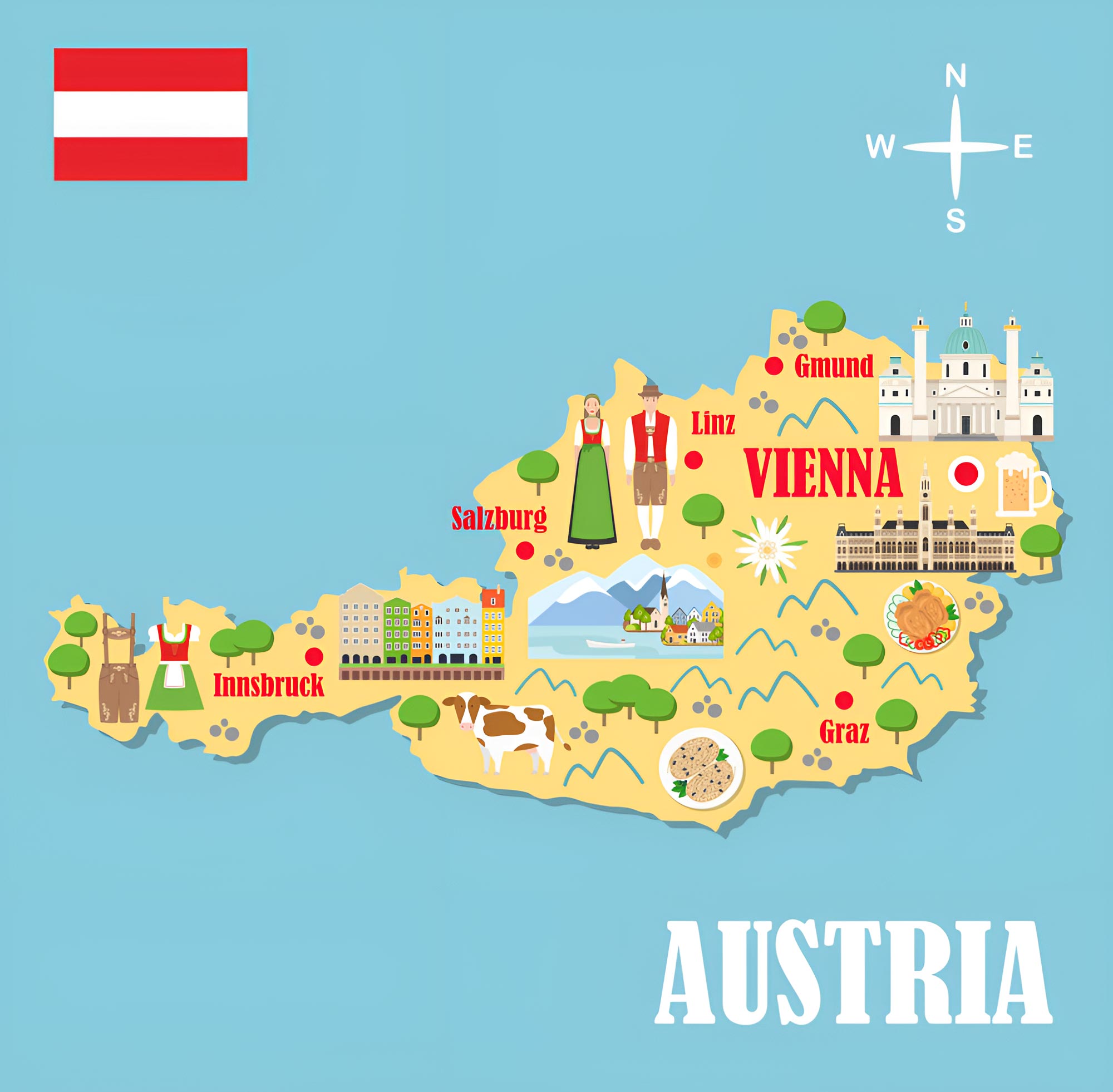
16. Austria Travel-Tourist Map
Highlights Austria’s major tourist attractions, scenic routes, and travel destinations, ensuring a memorable experience for visitors.
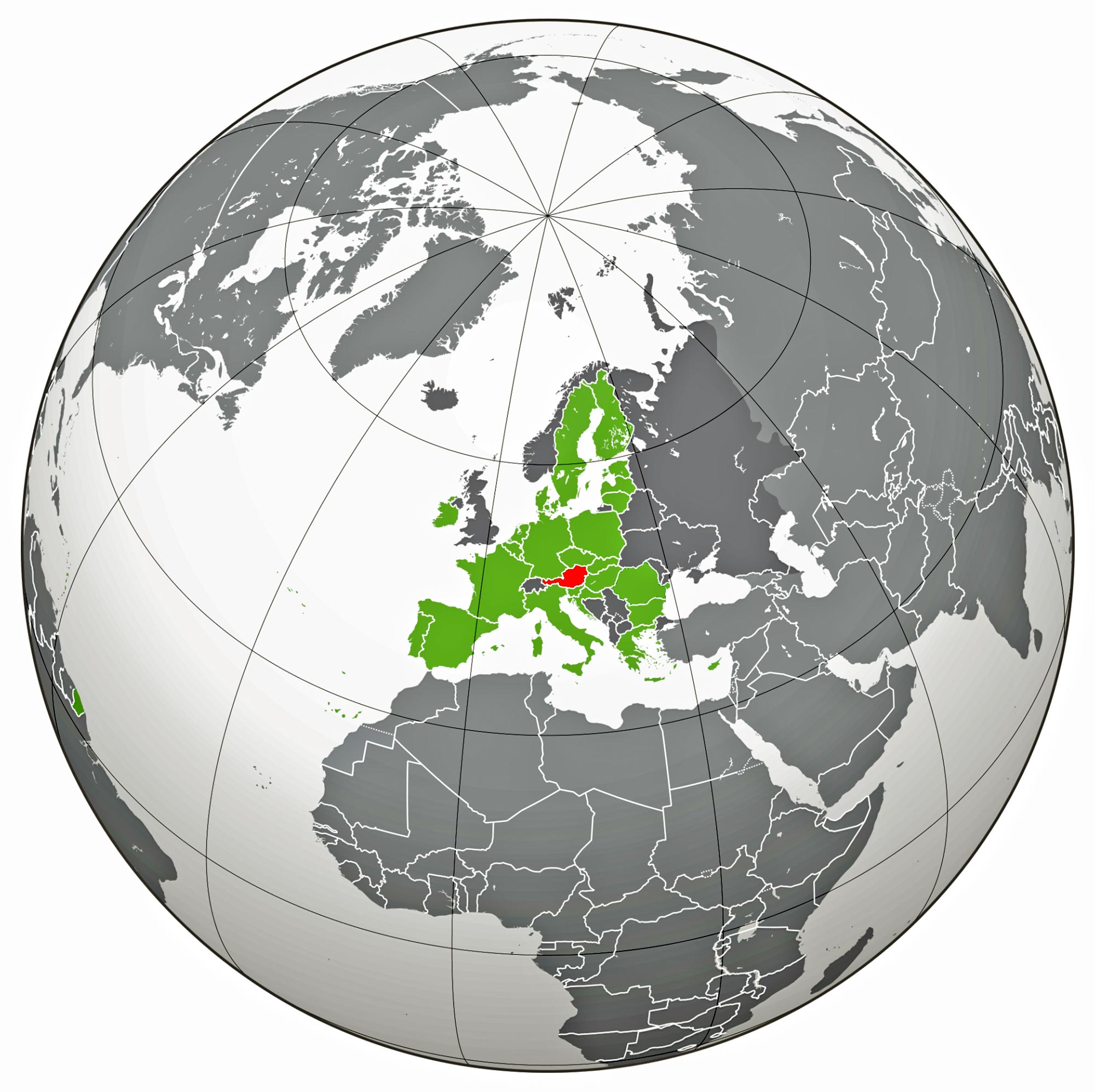
17. Map of Austria’s Location in the World Map
Positions Austria in the global context, allowing readers to understand its geographical relationship with neighboring countries.
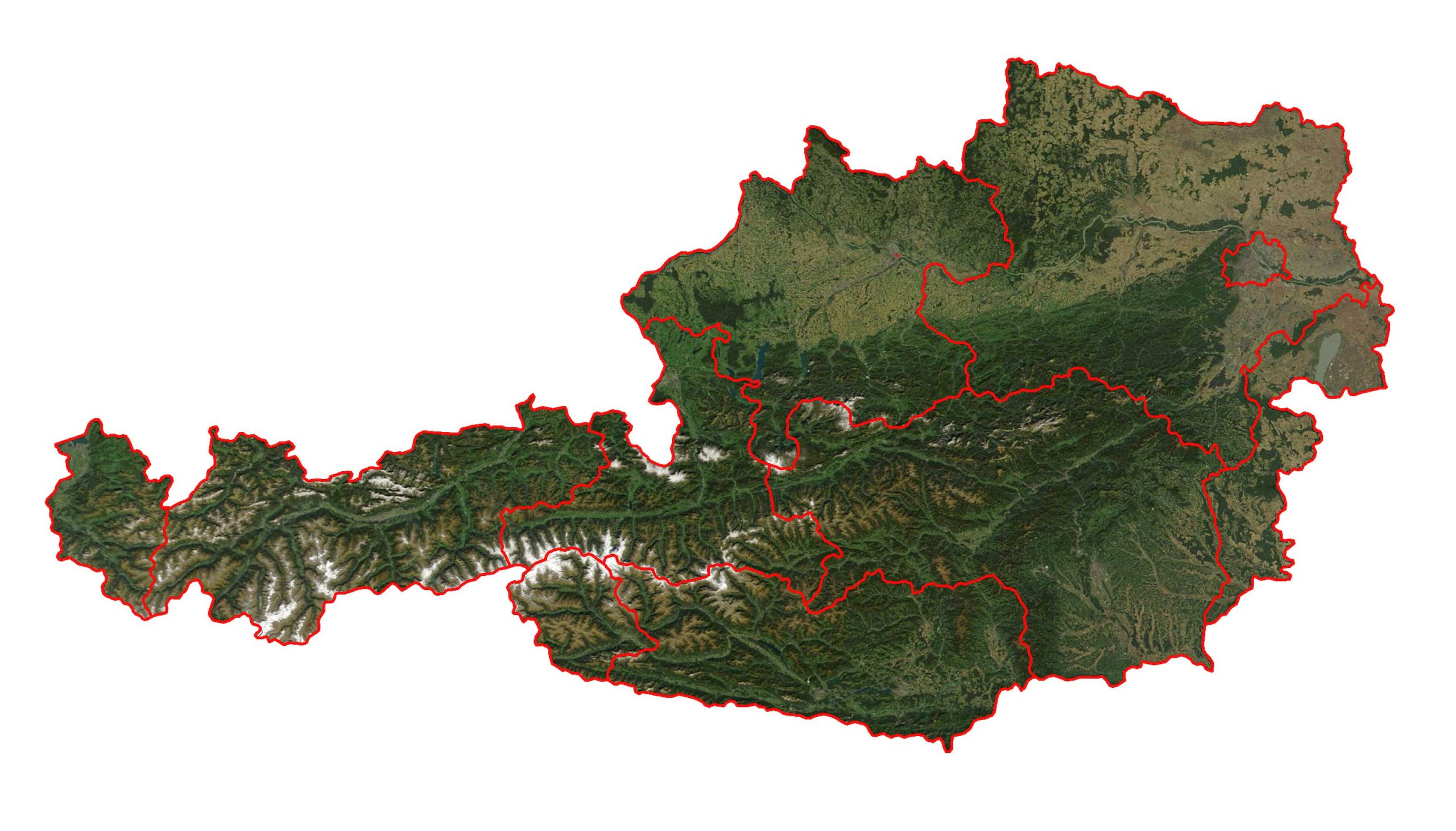
18. Austria Earth Satellite Map
A bird’s-eye view of Austria from space, capturing its natural beauty and urban sprawl in one breathtaking snapshot.
Feel free to explore these pages as well:
Top 10 Must-Visit Attractions in Vienna ↗️
Join us on this map-filled journey as we explore Austria’s many facets, ensuring that whether you’re a geographer, traveler, or simply curious, there’s a map in our collection that’s sure to intrigue you. Don’t forget to check out the accompanying visuals and videos to enrich your experience. Safe travels!

