A collection of maps of Canada; View a variety of maps of Canada’s physical, political, administrative, and relief map—satellite image of Canada, highly detailed maps, and blank maps of Canada, the World, and Earth. And find more about Canada’s country, regions, provinces, topography, cities, roads, rivers, national, directions maps, and atlas.
Canada Vector Map
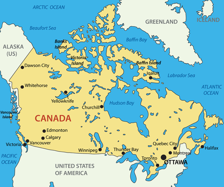
Canada vector map with main cities and the United States of America.
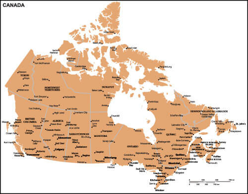
Canada Country Map
Colorful Canada Map
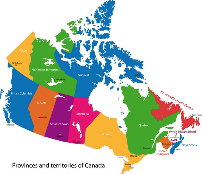
Colorful Canada map with provinces and capital cities
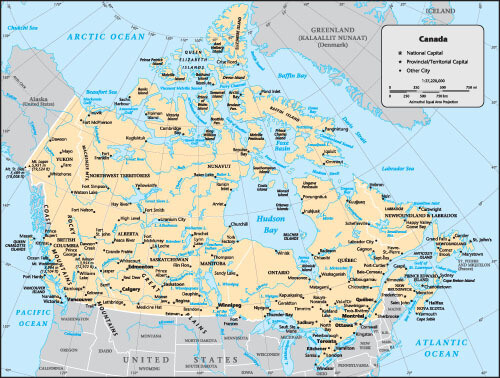
Canada Country Map with Cities
Canada Country Map with Major Cities of Canada.
Canada Political Map
 Political map of Canada with Canadian states and major cities, United States of America country national border map.
High Detailed Canada Road Map

Canada Map with North and Central America
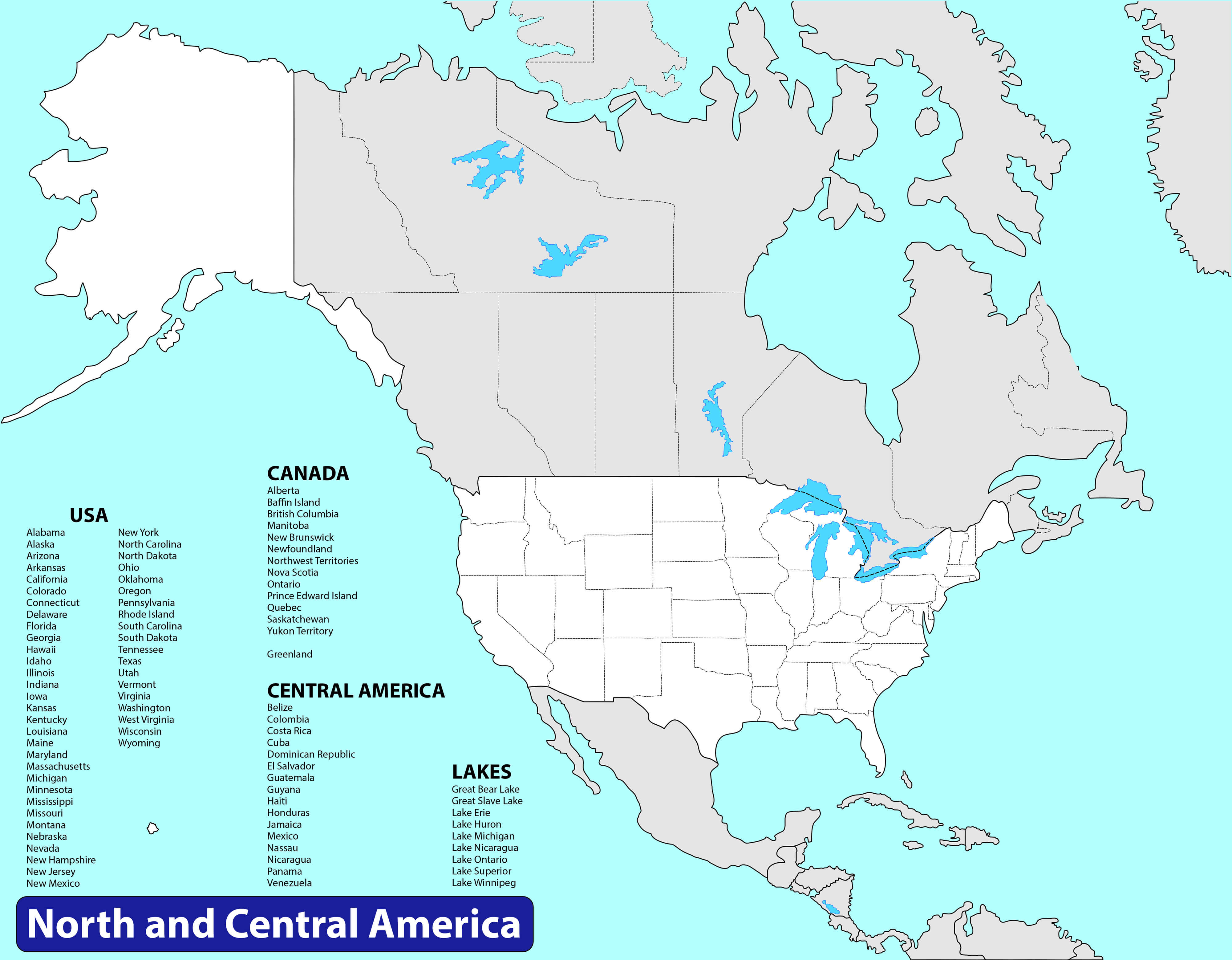 Canada Map with North and Central America. Vector illustration
Where is Canada in the World?
Show Google Maps and satellite maps of where the country is located.
Get directions by driving, walking, bicycling, public transportation, and travel with street view.
Feel free to explore these pages as well:
A Collection of Canada Maps ↗️
Vancouvers top 10 places to visit↗️
10 must visit cities from the 2023 liveability index↗️